
 Download Photo


Information
- Rating score
- no rate
- Rate this photo
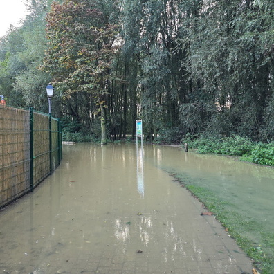
- Created on
- Sunday 20 October 2024
- Posted on
- Friday 3 January 2025
- Visits
- 2494
- Albums
-
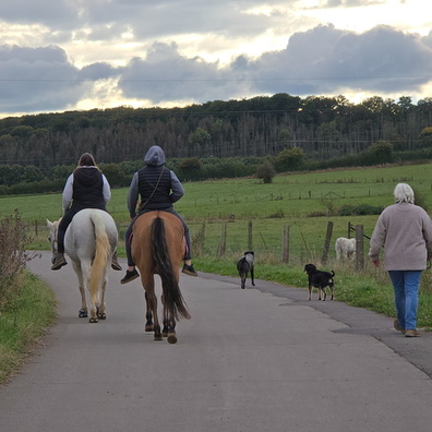
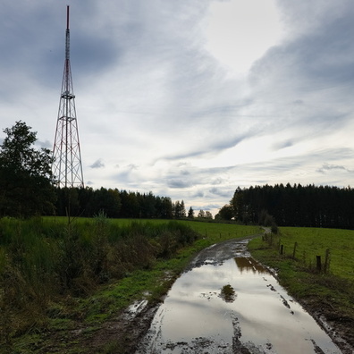
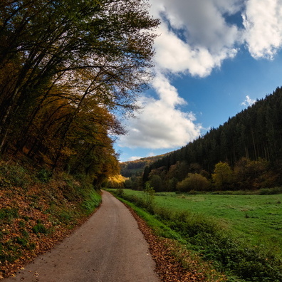
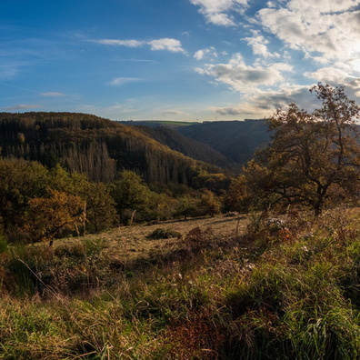
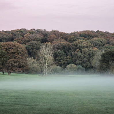
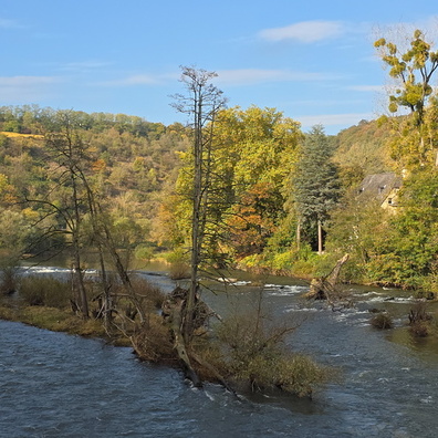
Outdoor adventures / 2024 / October 2024
Hiking and walking / Luxembourg National Footpaths / Sentier Adrien Ries
Hiking and walking / Luxembourg National Footpaths / Sentier Ardennes-Eifel
Hiking and walking / Luxembourg National Footpaths / Sentier Maurice Cosyn
Hiking and walking / Luxembourg National Footpaths / Sentier de l'Our
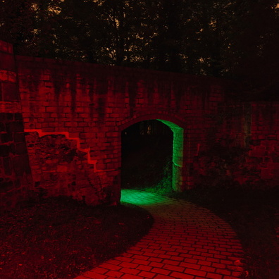
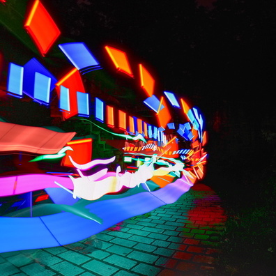
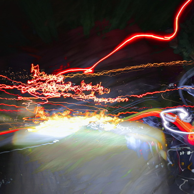
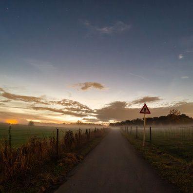
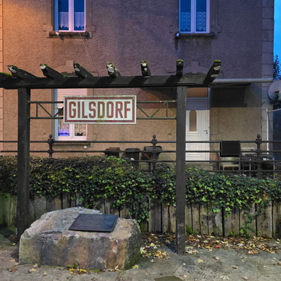
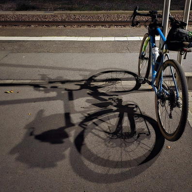
Shooting at night
EXIF Metadata
samsung Galaxy S24 Ultra
- Make
- samsung
- Model
- Galaxy S24 Ultra
- DateTimeOriginal
- 2024:10:20 18:50:56
- ApertureFNumber
- f/1.7
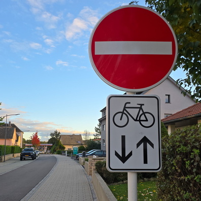
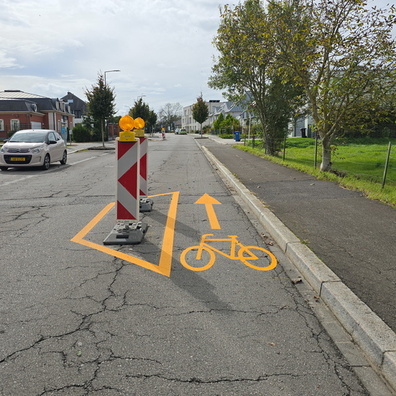
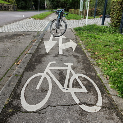
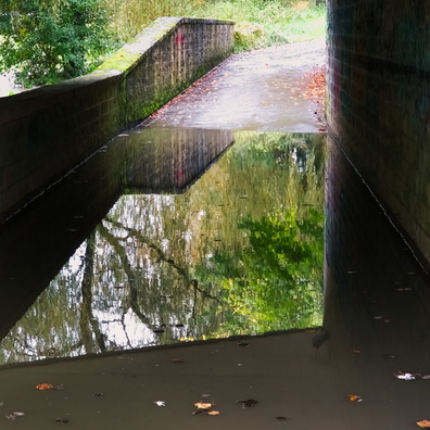
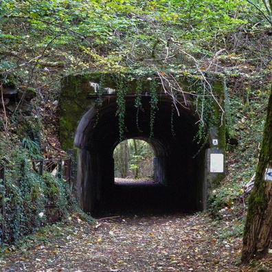
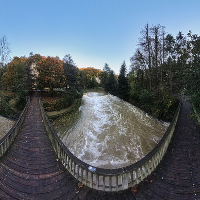
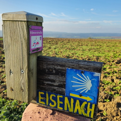
- iptc_title
- Gilsdorf: where the sign's the star
Powered by Piwigo