-
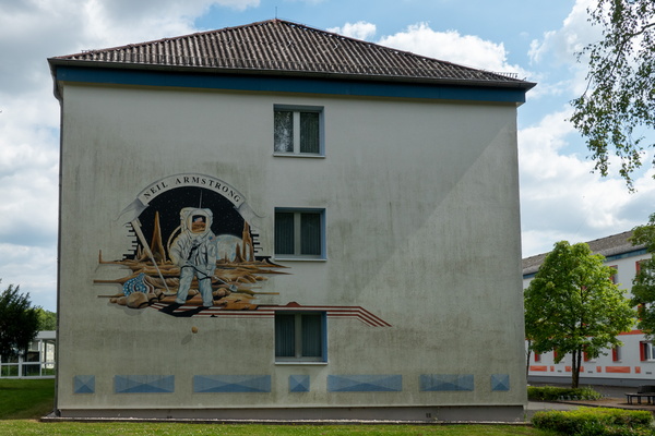
Niel Armstrong mural on a building in Bitburg
-
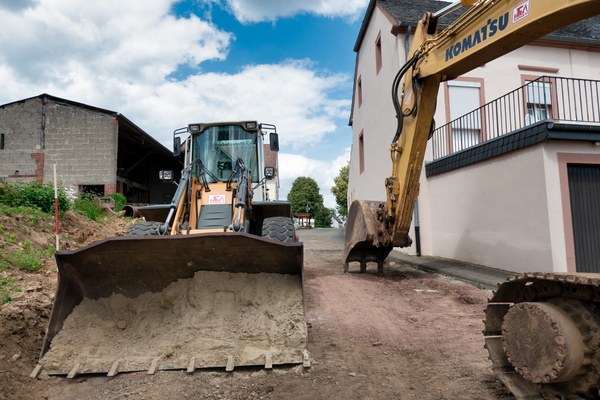
Roadworks
-
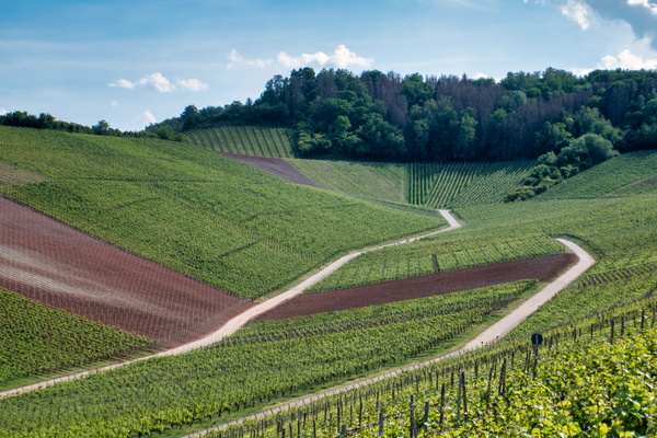
Going out of Kylltal near Sülm
-
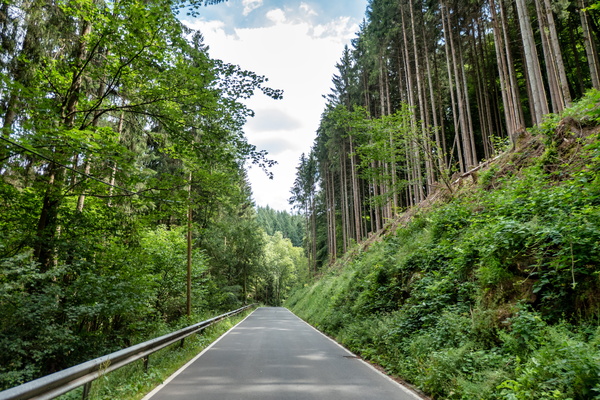
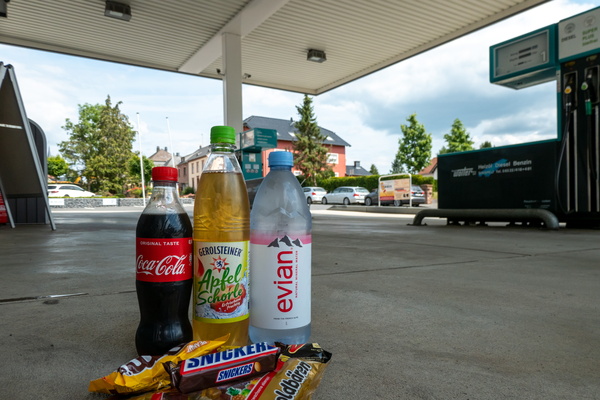
Refueling
-
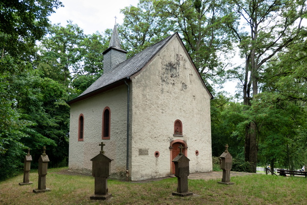
Chapel near Speicher
-
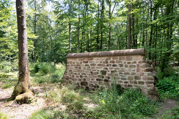
Römische Langmauer
-
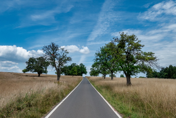
Narrow K road near Hochmark
-
Bad pavement above Kordel
-
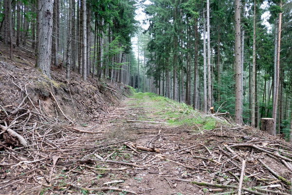
Diversion of the Kyll-Radweg
-
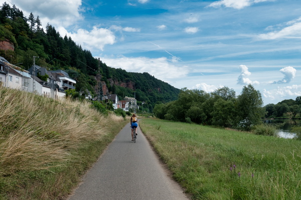
Cycling along the Moselle
-
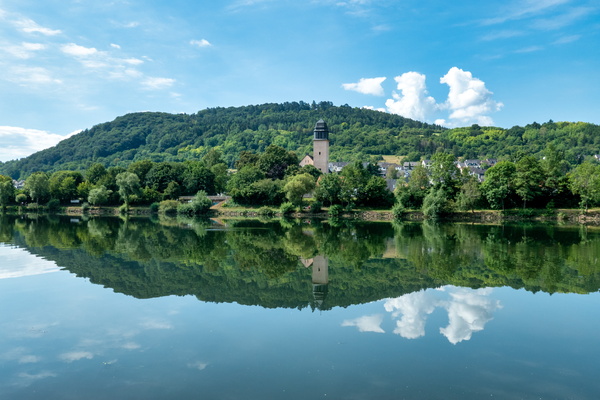
Reflections on the Moselle river
-
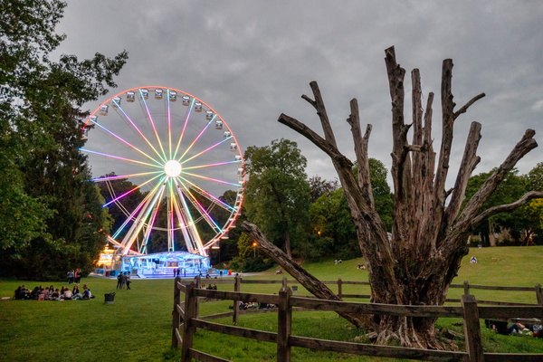
The Ferris wheel
-
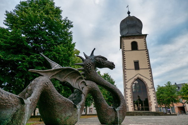
The dragon of Mersch
-
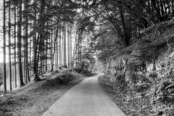
Traditional photo stop
-
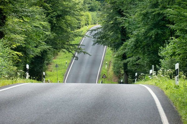
Road between Dippach and Mamer
-
Itzegerstee

-
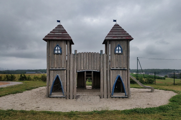
A castle in the playground
-
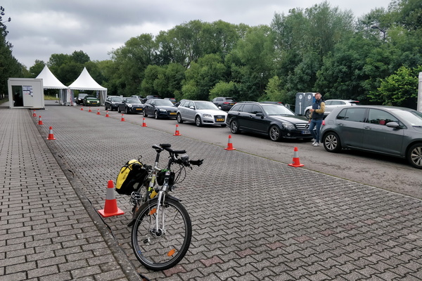
COVID-19 testing fast lane
-
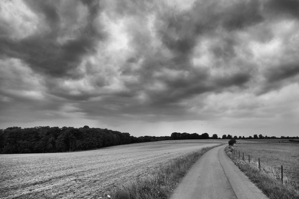
So dramatic!
-
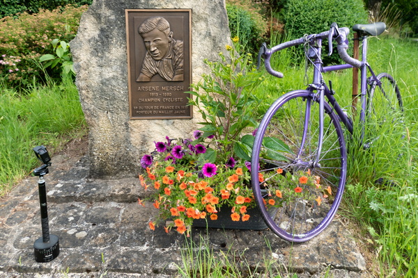
Arsène Mersch Memorial
-
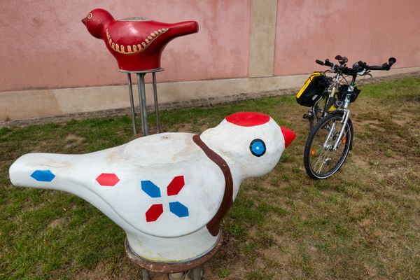
A stop in Nospelt
-
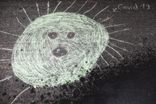
COVID-19 art
-
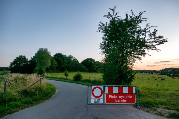
The undiverted cycleway
-
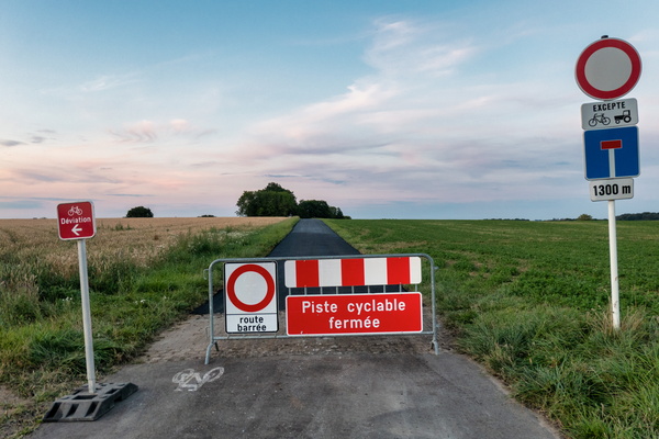
The diversion going nowhere
-
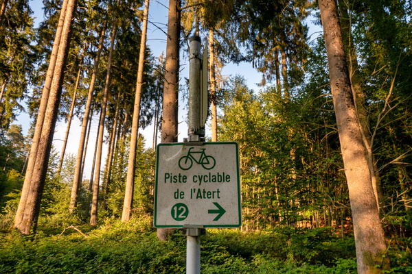
Can you find the mistake?
-
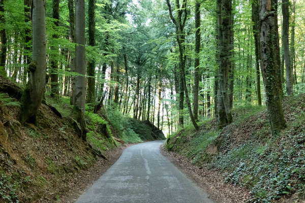
Forest between Beckerich and Saeul
-
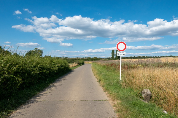
FR-LU border
-
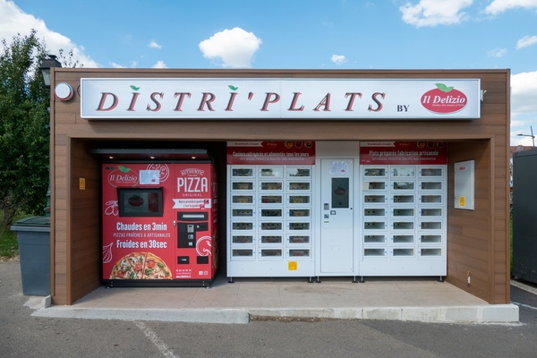
Authentic pizza vending machine
-
Maginot line
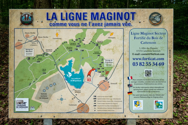
-
Maginot line
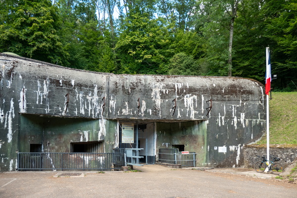
-
Maginot line
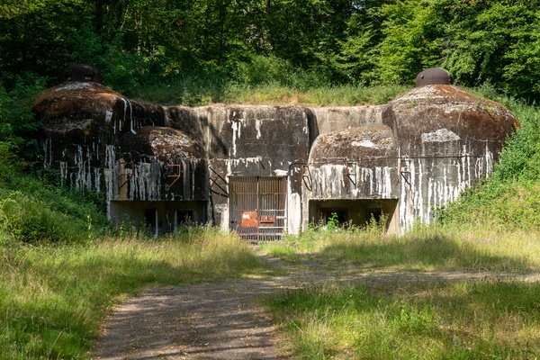
-
Cycling map near Cattenom
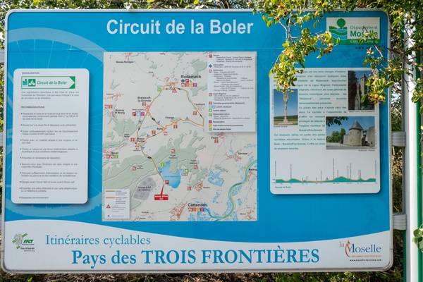
-
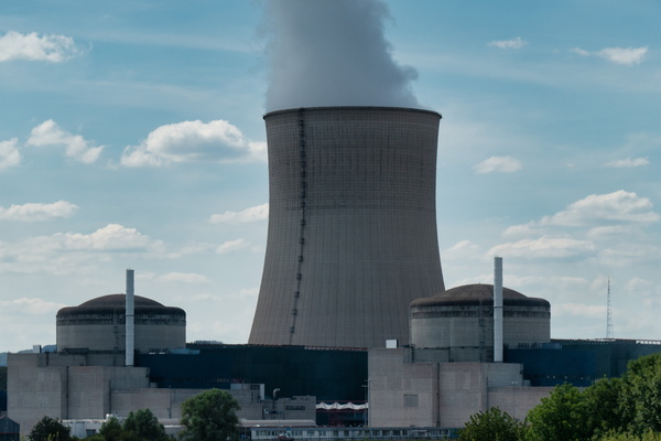
The cloud factory
-
Passing distance information sign

-
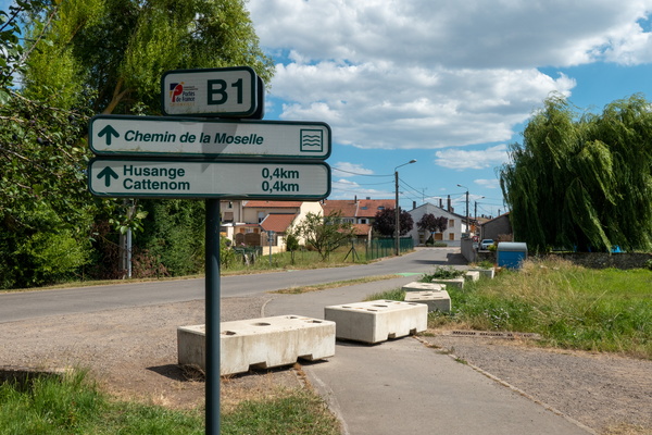
Cycling infrastructure near Cattenom
-
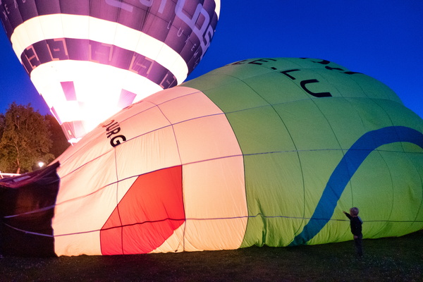
Hot air balloon
-
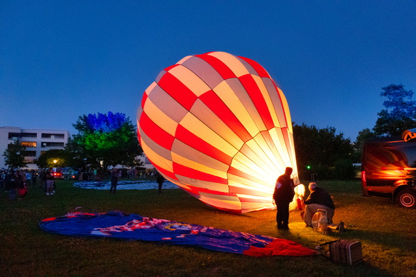
Hot air balloon
-
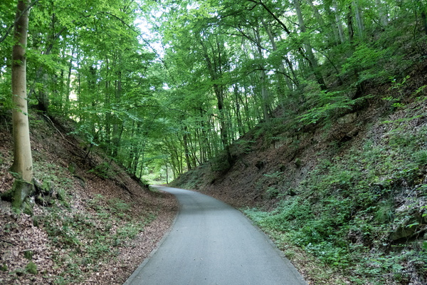
Old railroad transformed into a cycleway
-
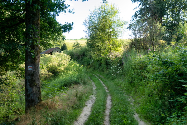
Cycling on Mullerthal Trail
-
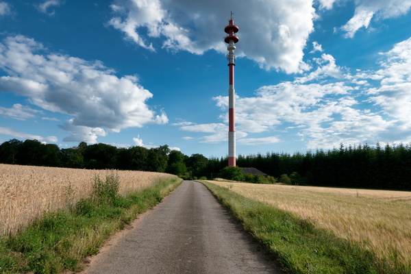
Communications tower
-
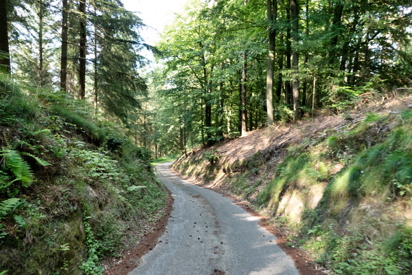
Gousselerbierg climb
-
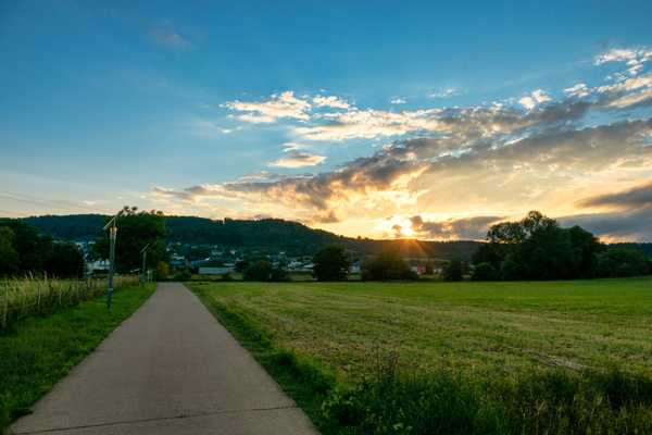
Sunset near Heisdorf
-
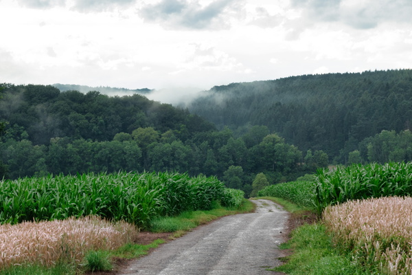
Clouds after the rain
-
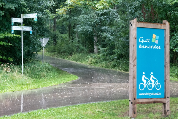
Let it rain
-
Let it rain
-
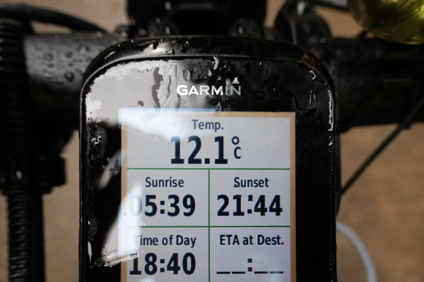
Temperature drop after a cold shower
-
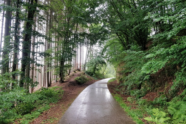
Rain in the forest
-
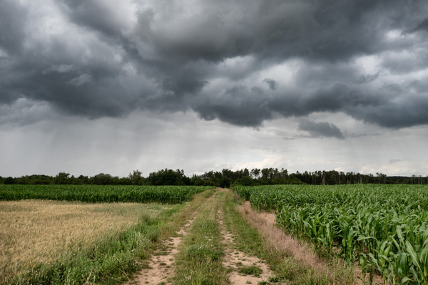
Before the shower
-
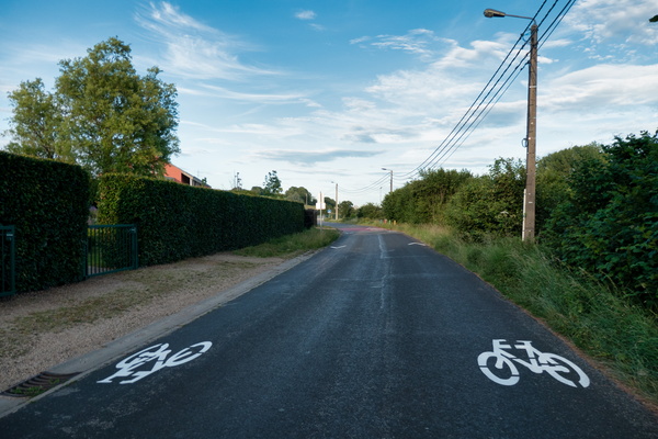
New cycling infrastructure in Barnich
-
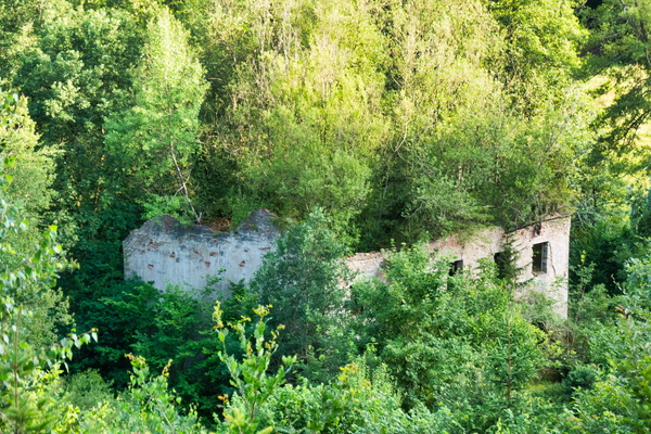
Green house
-
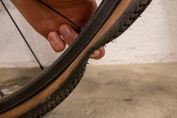
Tyre puncture
-
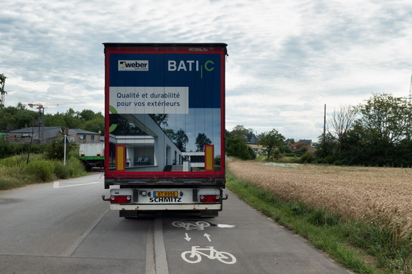
Sustainable parking
-
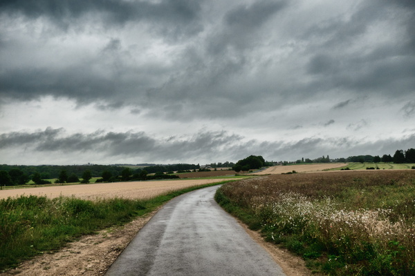
Threatening sky near Kehlen
-
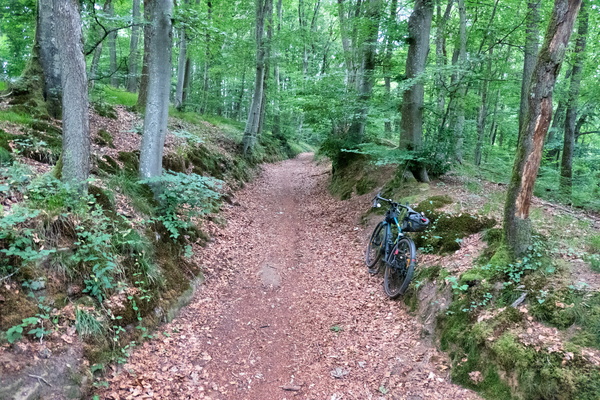
Forest track between Mamer and Kehlen
-
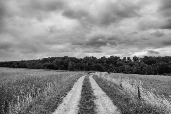
Dramatic sky near Capellen
-
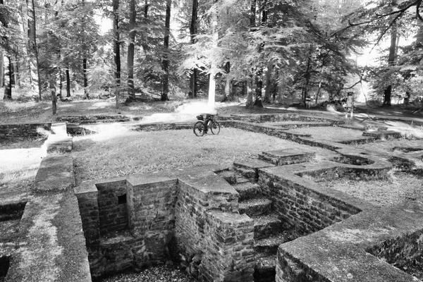
A stop at Villa Romaine, Goeblange
-
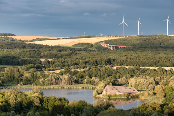
Moselle valley near Schengen
-
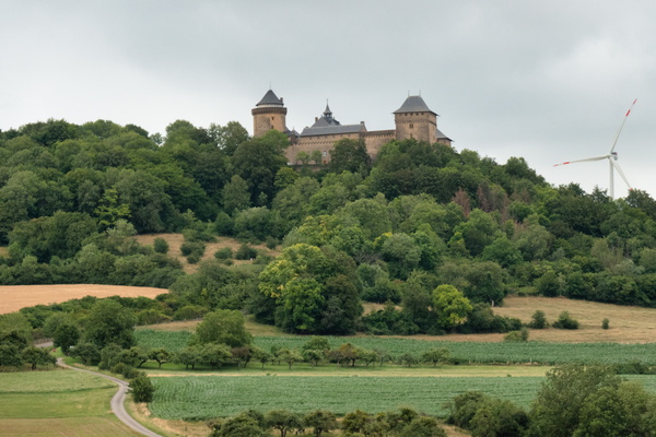
Château de Malbrouck
-
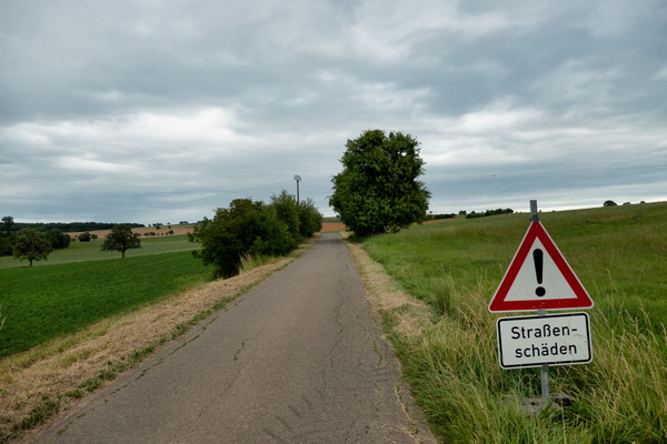
Bad pavement
-
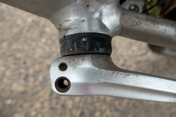
Lost a screw on the crank set
-
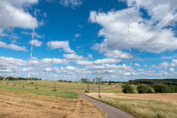
Europe 1 radio transmitter
-
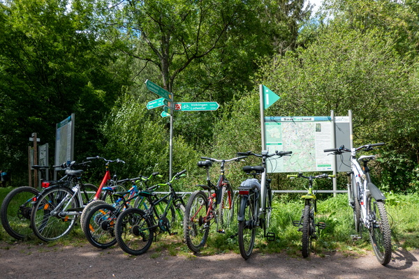
Cycling near Lauterbach, Saarland
-
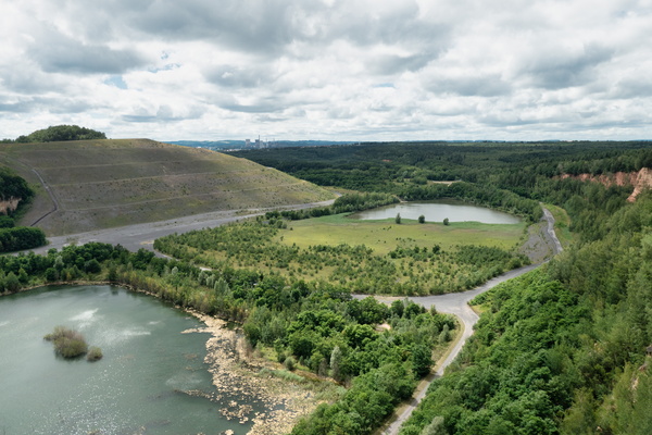
Plareforme panoramique carrière Barrois
-
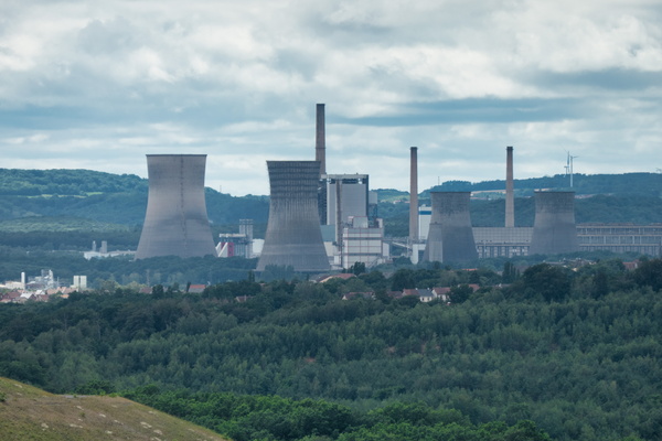
View from Plareforme panoramique carrière Barrois
-
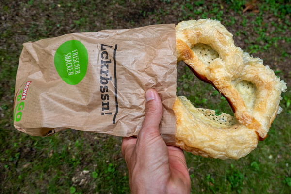
German pastry
-
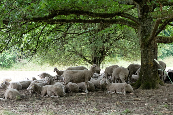
Sheep in the shade
-
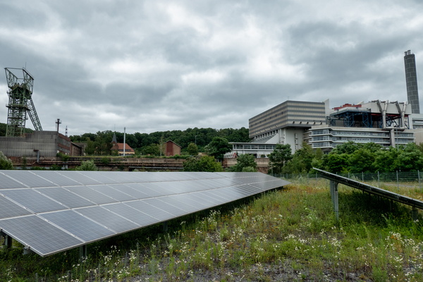
Müllverbrennungsanlage Velsen industrial area
-
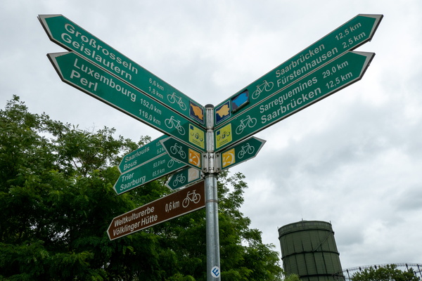
Still a way to go
-
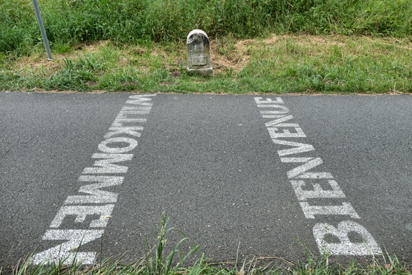
France-Germany border on the cycleway
-
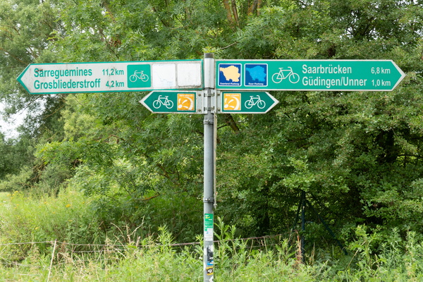
Cycling directions at the border
-
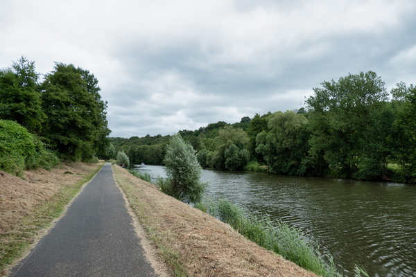
Cycleway along the Saar
-
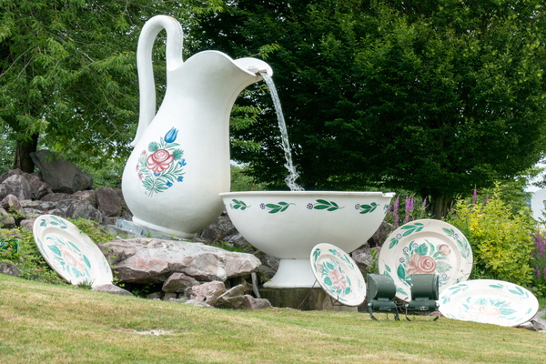
Rounabout in Sarreguemines
-
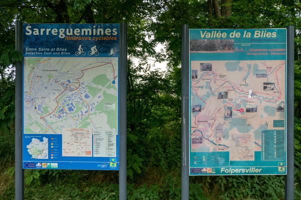
Cycling map near Sarreguemines
-
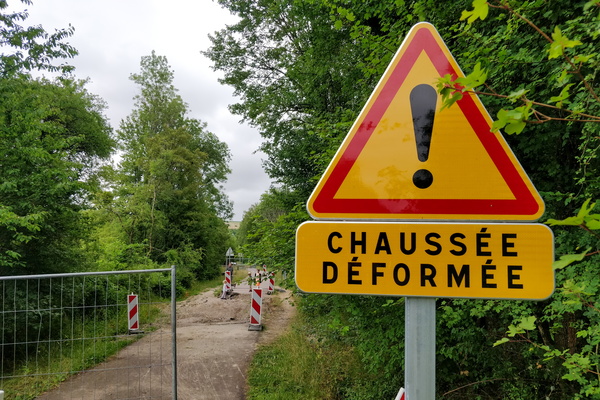
Chaussée déformée sign
-
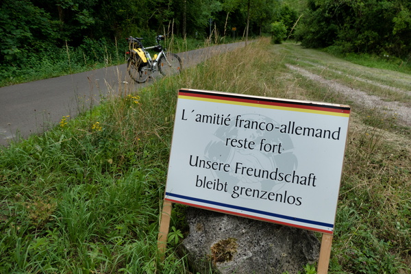
International friendship board near Herbitzheim
-
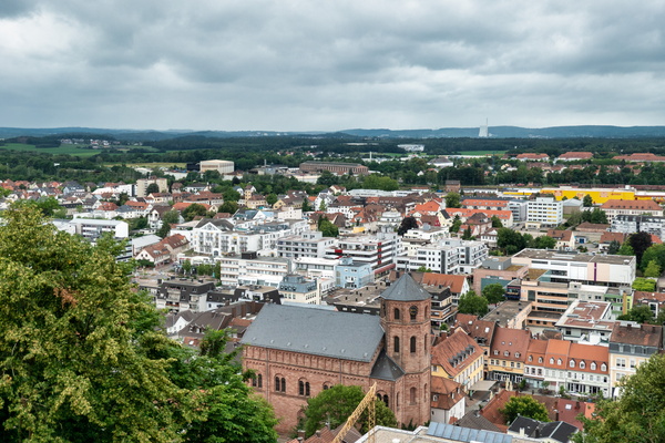
Homburg cityscape by day
-
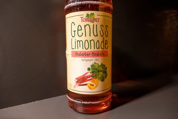
Lemonade bottle
-
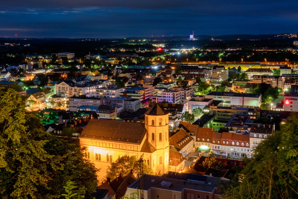
Homburg cityscape from Schlossberg
-
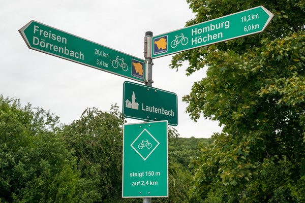
Cycling directions and climb warning in Lautenbach
-
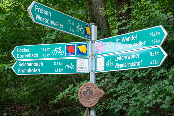
Cycling directions near Dörrenbach
-
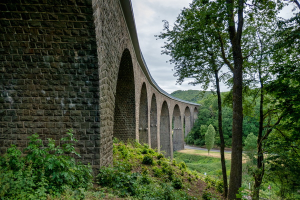
Talbrücke Oberkirchen
-
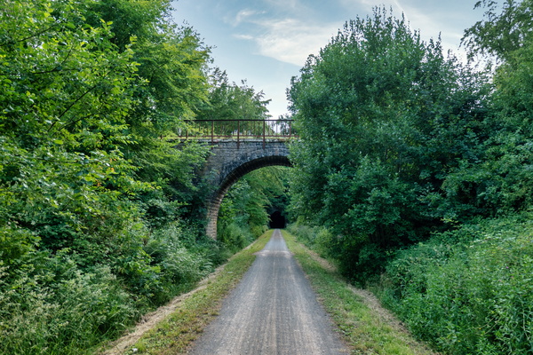
Bridge over Mithras-Radweg near Oberkirchen
-
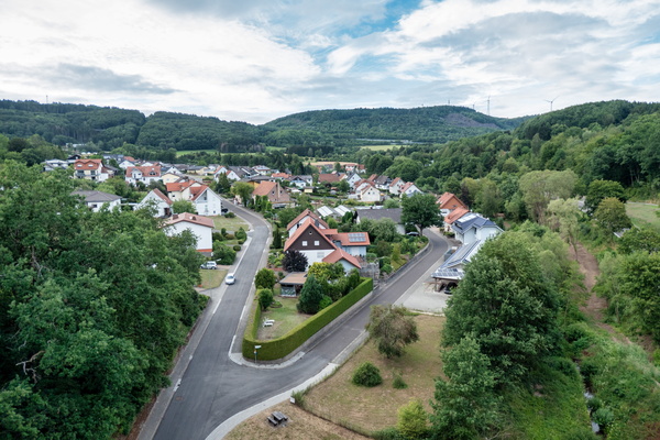
View from Talbrücke Oberkirchen
-
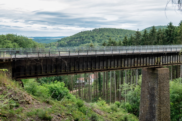
Eiserne Brücke
-
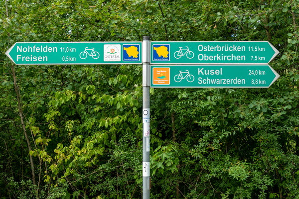
Cycling directions in Freisen
-
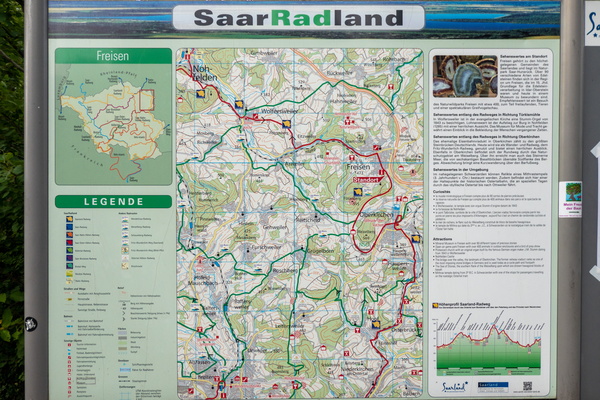
Cycling map near Freisen
-
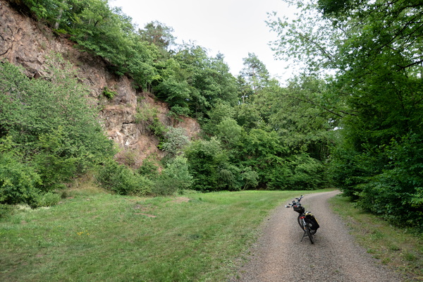
Saarland-Radweg near Freisen
-
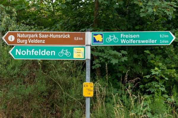
Where I left the Nahe-Radweg to join the Saarland-Radweg
-
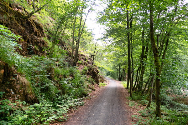
Nahe-Radweg near Nohfelden
-
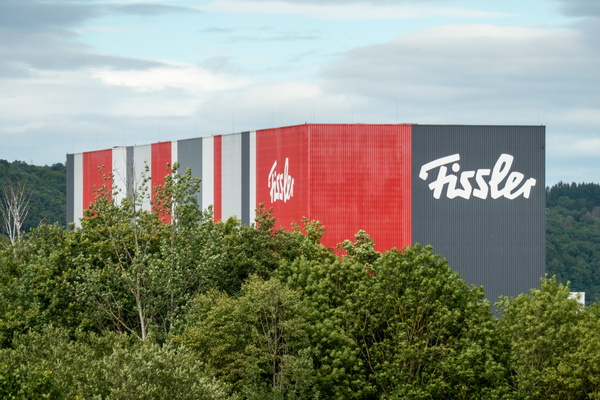
Fissler
-
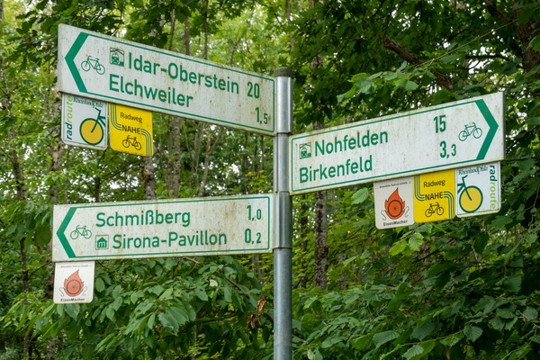
Cycling directions near Elchweiler
-
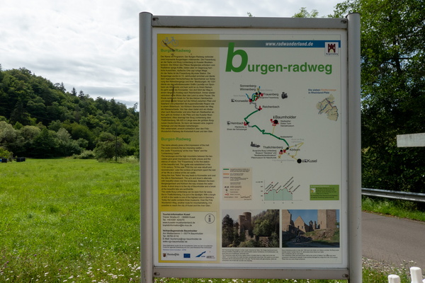
Burgegn-Radweg map and information board
-
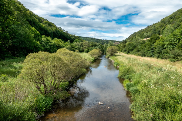
Nahe-Radweg near Hammerstein
-
Nahe-Radweg near Enzweiler
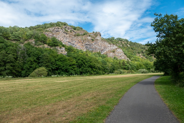
-
Nahe-Radweg near Enzweiler
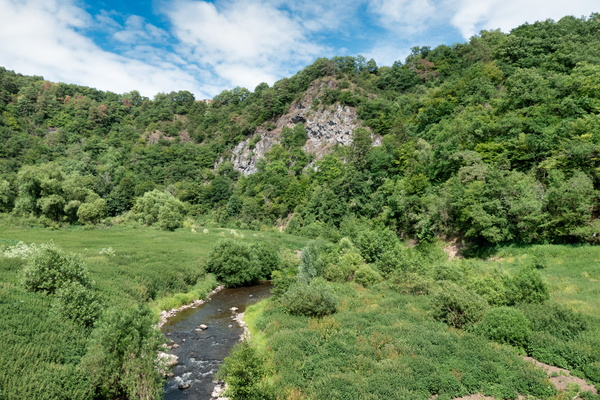
-
Get ready to climb
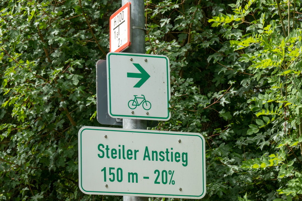
-
Nahe-Radweg alternative way in Oberstein
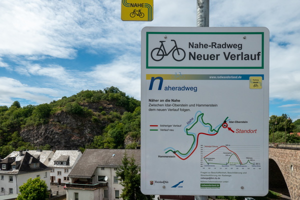
-
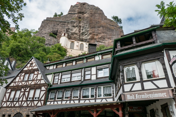
Schloßschenke, Oberstein
-
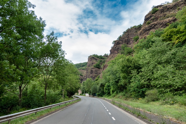
Nahe-Radweg near Oberstein
-
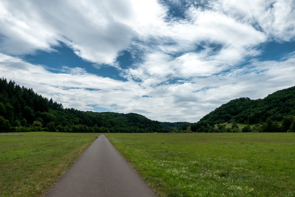
Nahe-Radweg near Bärenbach
-
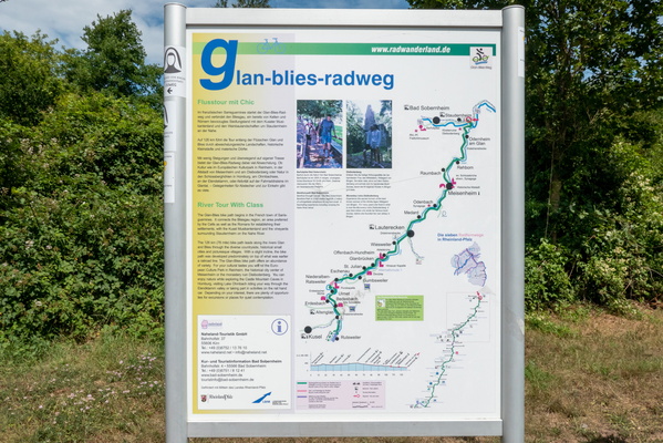
Glan-Blies-Radweg information board and map
-
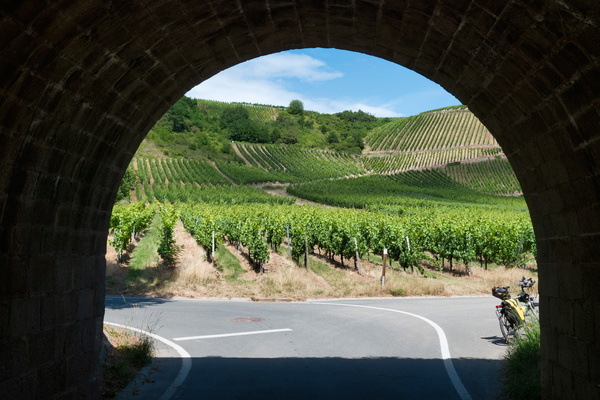
Nahe-Radweg near Niederhausen
-
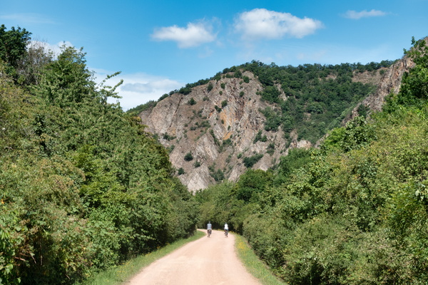
Nahe-Radweg near Bad Münster am Stein-Ebernburg
-
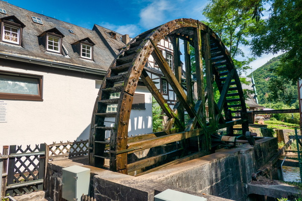
Water mill in Kurpavillon, Bad Münster
-
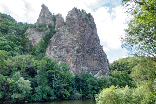
Rheingrafenstein bare rock
-
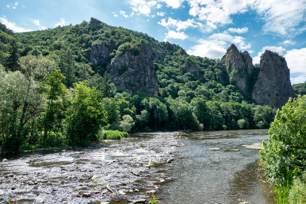
Nahe river near Bad Kreuznach
-
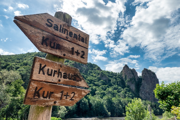
Nahe river in Bad Kreuznach
-
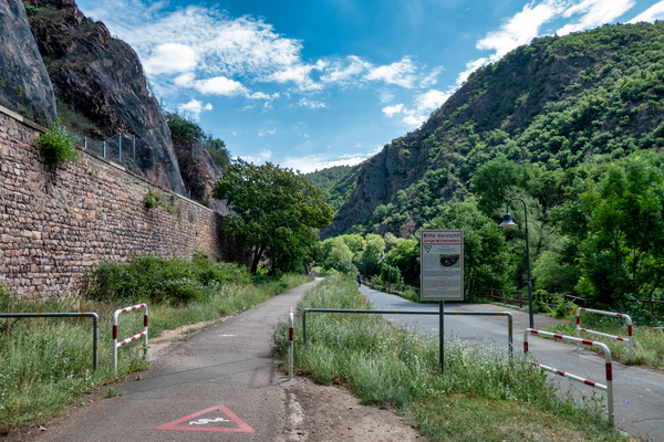
Watch for snakes
-
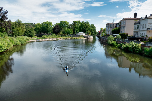
Bad Kreuznach
-
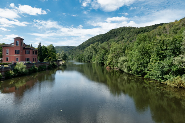
Bad Kreuznach
-
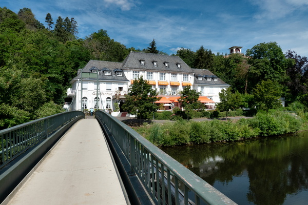
Bad Kreuznach
-
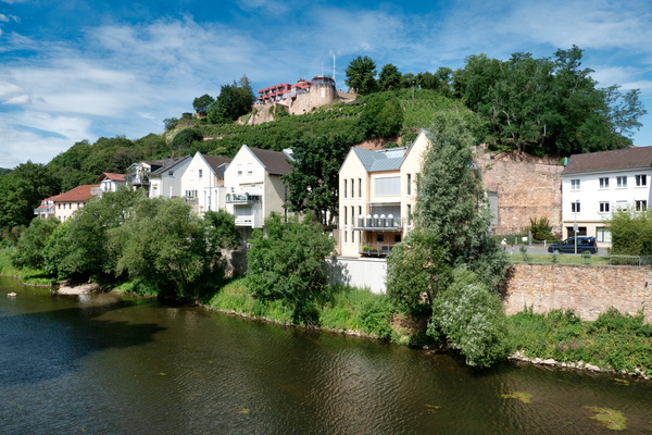
Bad Kreuznach
-
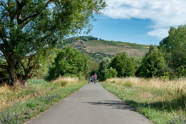
Nahe-Radweg near Bingen
-
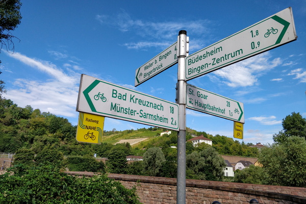
Cycling directions in Bingerbrück
-
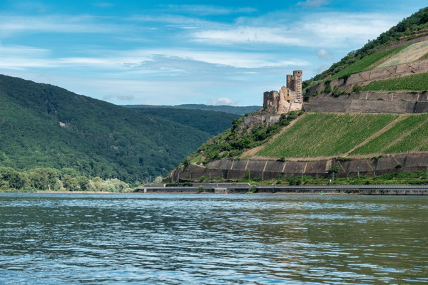
The Rhine river in Bingen am Rhein
-
Rhine river in Bingen

-
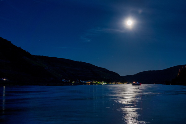
Moon on the Rhine
-
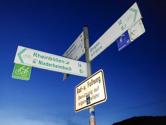
Rheinböllen is not on the Rhine shore
-
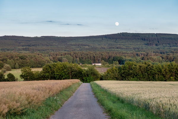
Moonrise in the Hunsrück
-
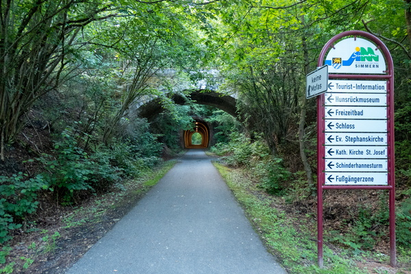
Tunnels near Simmern
-
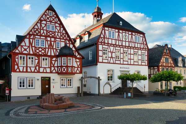
The town of Kirchberg
-
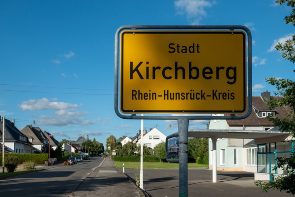
Kirchberg town limits
-
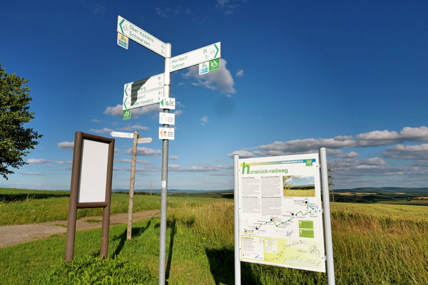
Cycling directions signs and information board near Sohren
-
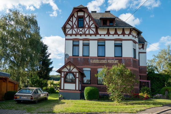
House in Büchenbeuren
-
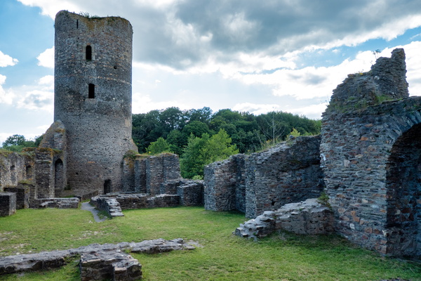
Castle Ruin Baldenau
-
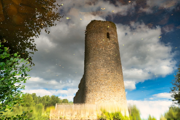
Castle Ruin Baldenau reflection
-
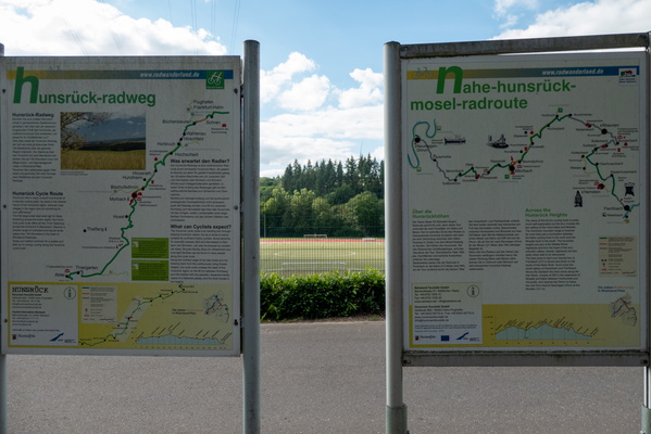
Information boards at cycling routes intersection
-
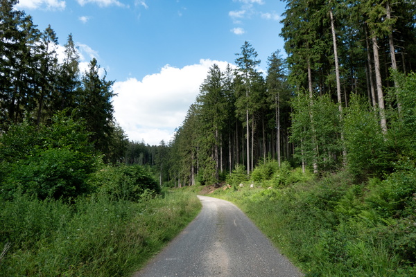
Hunsrück-Radweg near Morbach
-
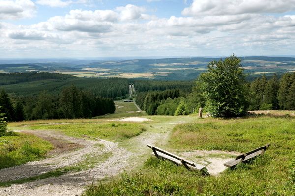
Erbeskopf
-
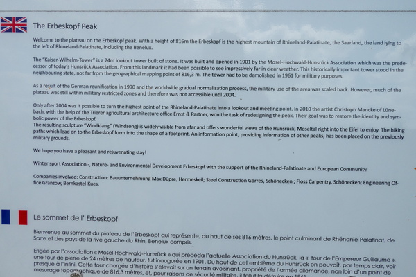
The Erbeskopf Peak information board
-
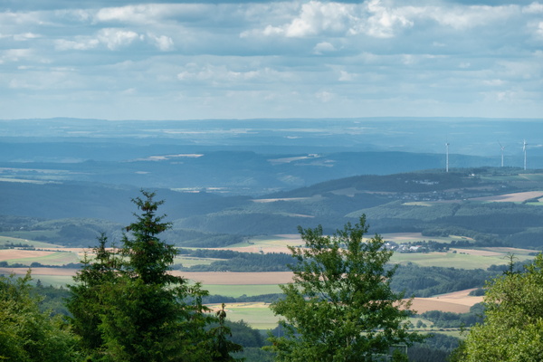
View from Erbeskopf
-
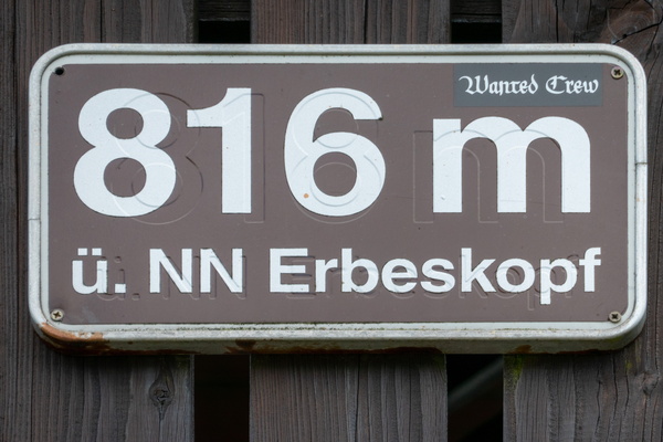
Erbeskopf: the highest elevation of the trip
-
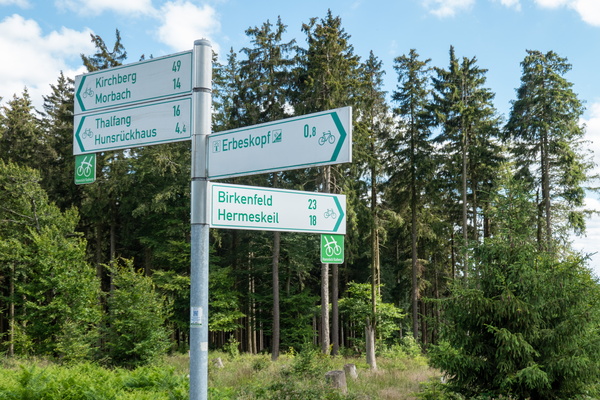
Cycling directions near Erbeskopf
-
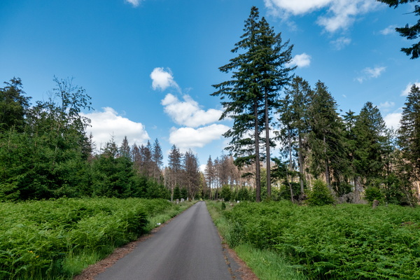
Hunsrück-Radweg near Erbeskopf
-
Cycling directions near Ruppelstein
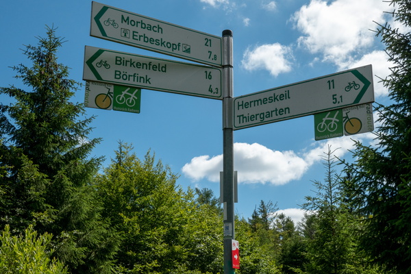
-
Hunsrück-Radweg in Nationalpark Hunsrück-Hochwald
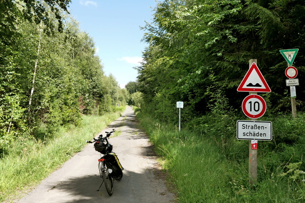
-
Nationalpark Hunsrück-Hochwald
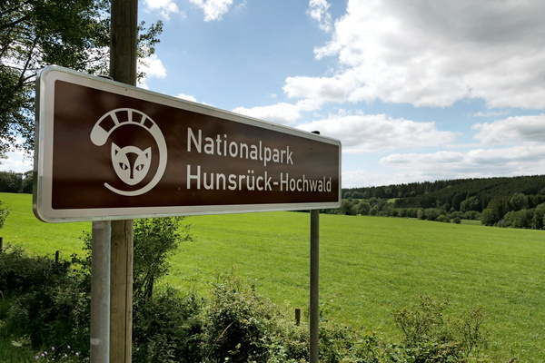
-
I should arrive at the Rhine just for sunset
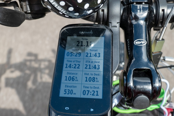
-
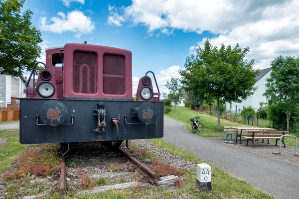
Train in Reinsfeld
-
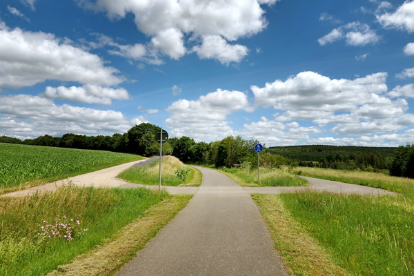
Cycling near Reinsfeld
-
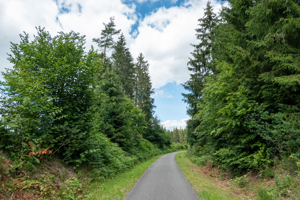
Cycling near Kell am See
-
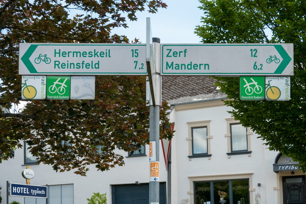
Cycling directions in Kell am See
-
Cycling directions in Kell am See
-
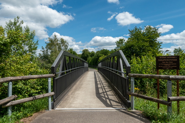
Ruwer-Hochwald-Radweg near Waldweiler
-
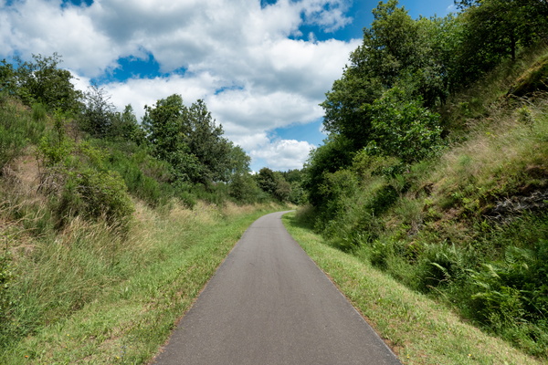
Hunsrück-Radweg & Ruwer-Hochwald-Radweg
-
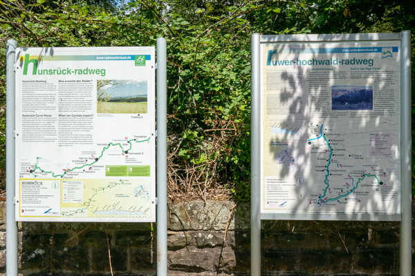
Ruwer-Hochwald-Radweg near Mertesdorf
-
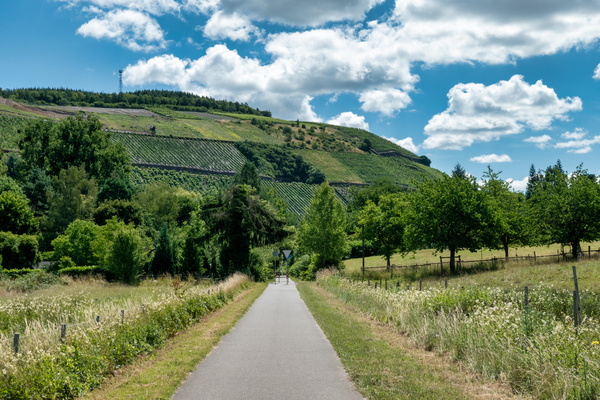
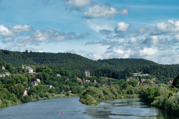
The Moselle river from Römerbrücke in Trier
-
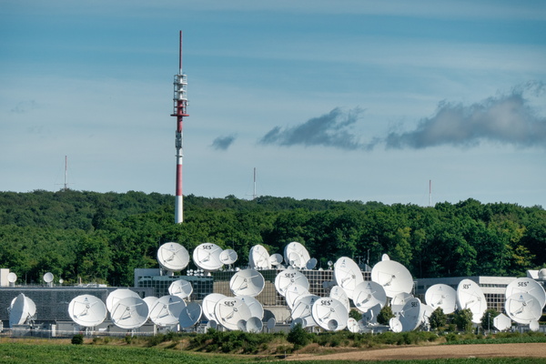
SES Astra in Betzdorf
-
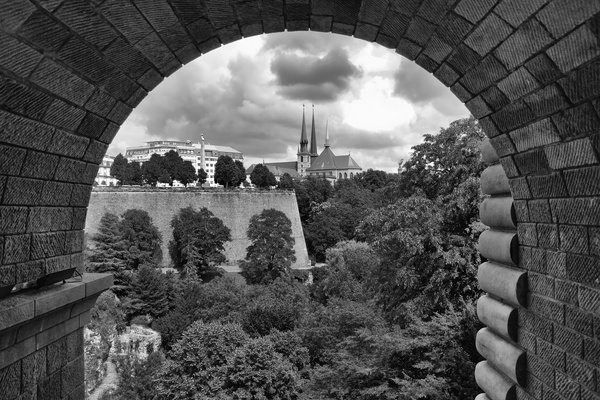
Cathedral view under Pont Adolphe
-
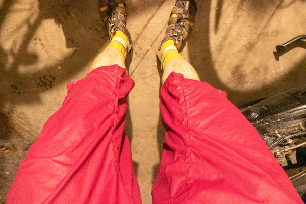
Arrived home after the shower
-
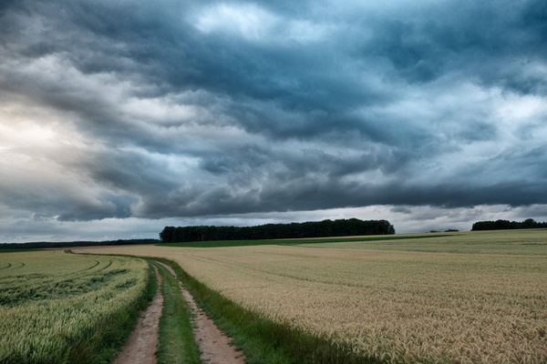
Threatening sky on a track next to Dällchen West Tour
-
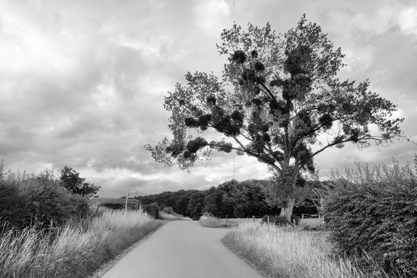
Dällchen West Tour
-
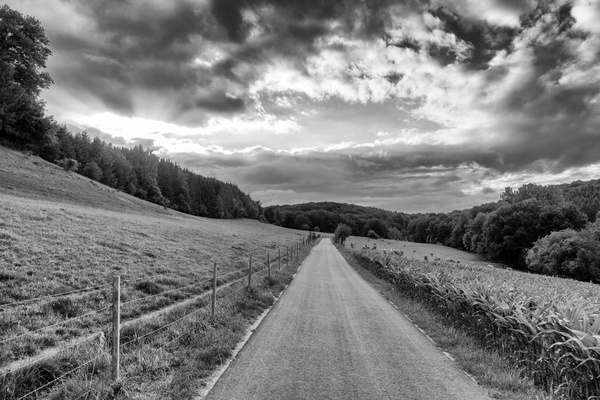
Dällchen West Tour
-
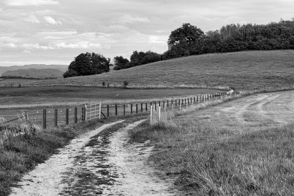
Track near Bissen
-
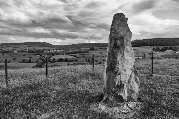
Menhir of Reckingen
-
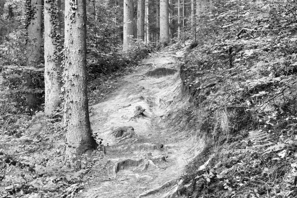
Autopédestre Strassen hiking trail
-
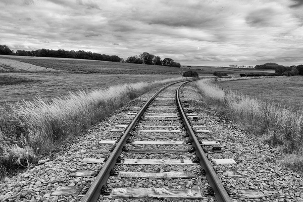
Railway track
-
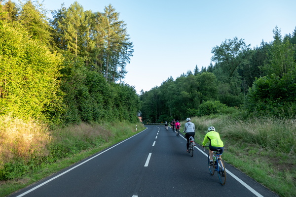
Bicycles queuing in Mamerdal
-
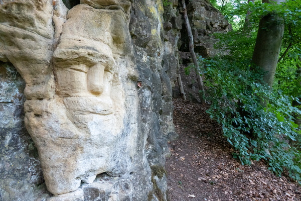
Sculpture
-
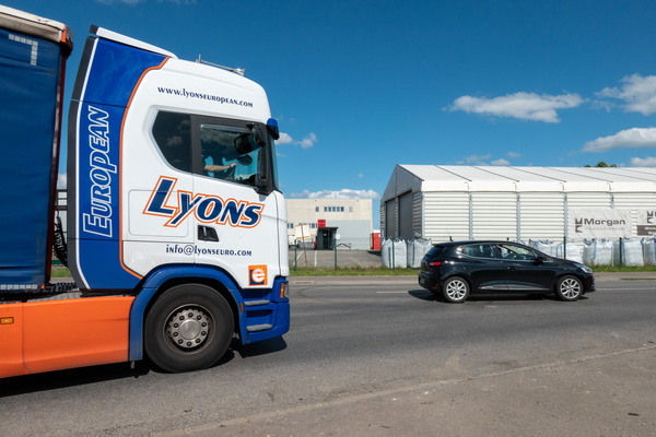
Cycling infrastructure in Koerich
-
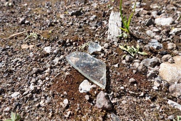
Cycling infrastructure in Koerich
-
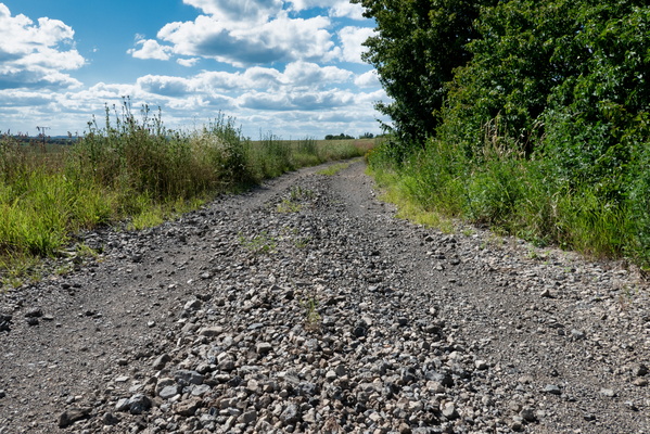
Cycling infrastructure in Koerich
-
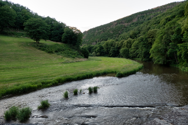
Sauertal
-
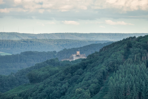
Bourscheid castle
-
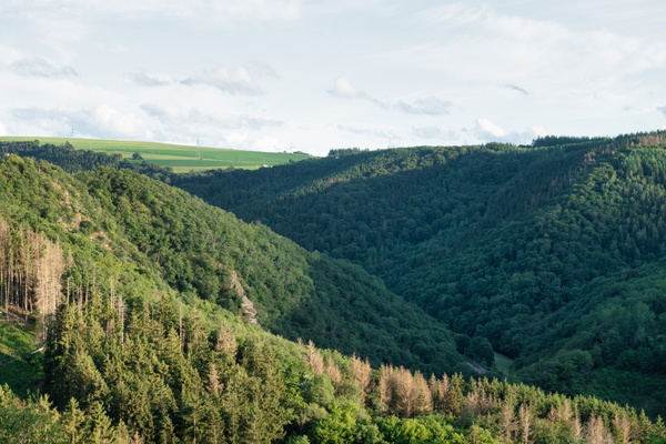
Above the Wiltz valley
-
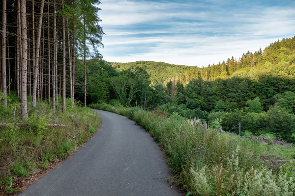
Piste cyclable de la Wiltz
-
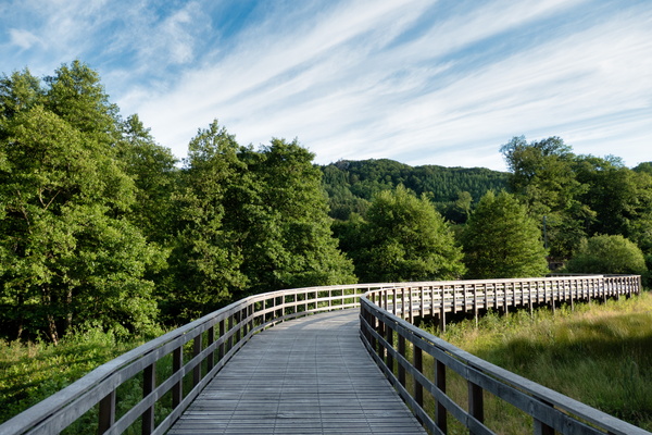
Piste cyclable de la Wiltz
-
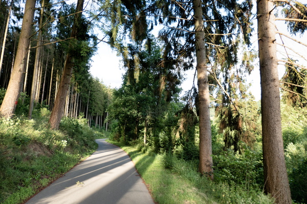
Piste cyclable de la Wiltz
-
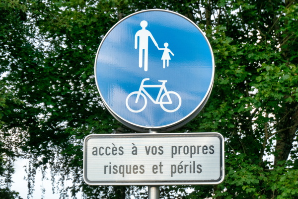
The dangerous piste cyclable de la Wiltz
-
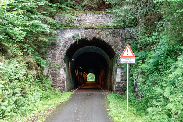
Piste cyclable de la Wiltz
-
Gravel way between Martelange and Bastogne
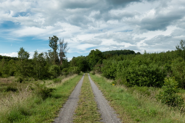
-
Gravel way between Martelange and Bastogne
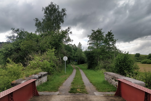
-
The Sauer river from EuroVelo 5
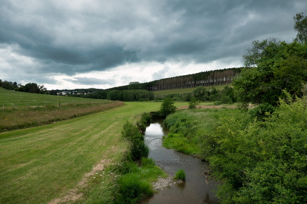
-
Gravel way between Martelange and Bastogne
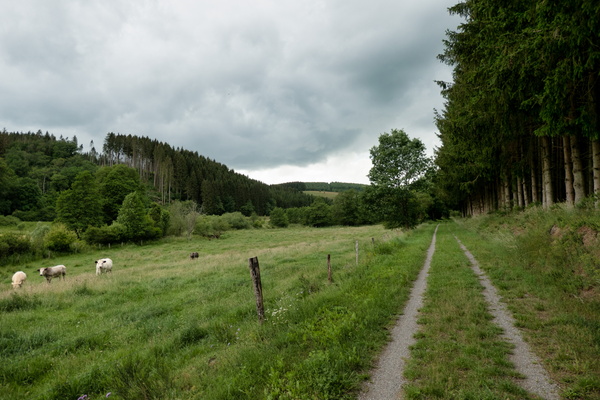
-
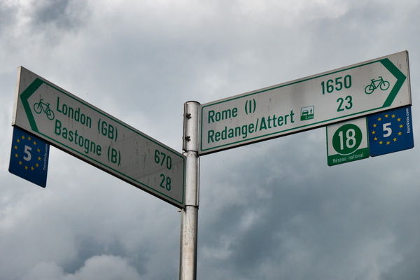
All roads lead to Rome
-
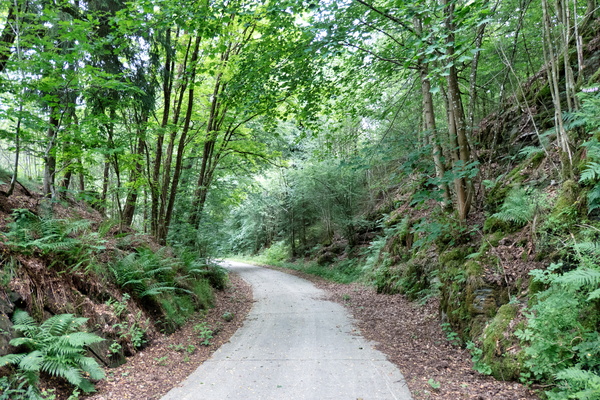
Piste cyclable des Ardoisières near Martelange
-
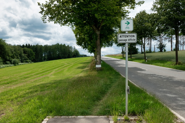
Passage difficile
-
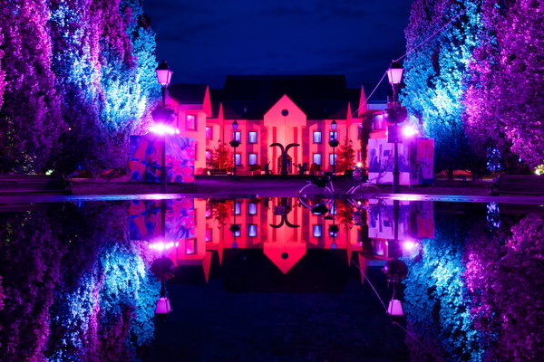
Hesper Park at night
-
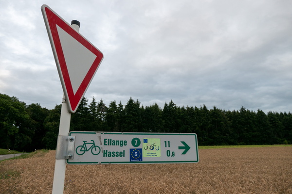
New features on the EuroVelo 5 cycling route
-
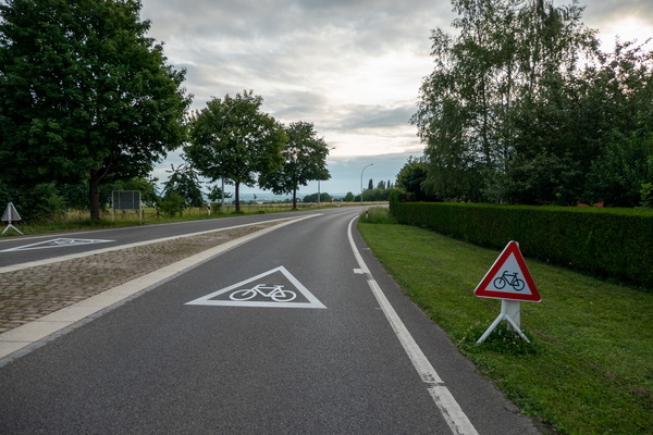
New features on the EuroVelo 5 cycling route
-
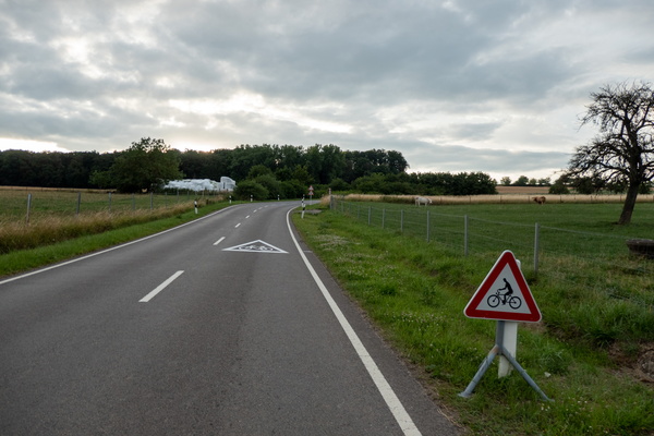
New features on the EuroVelo 5 cycling route
-
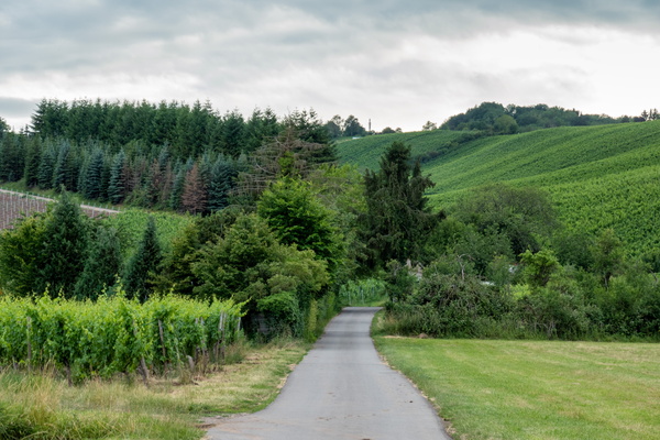
Cycling in the vineyards on PC 7 near Remich
-
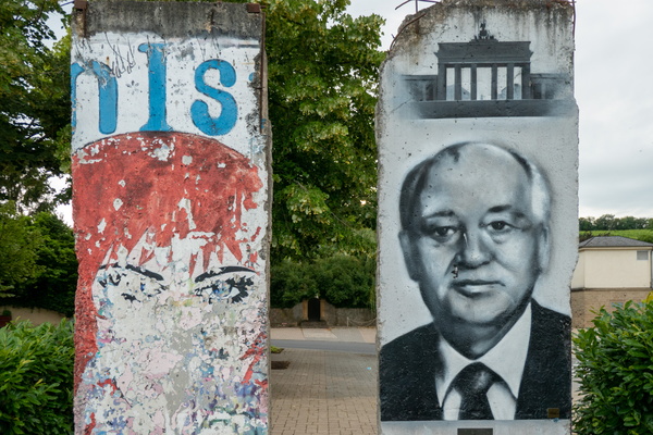
Berlin Wall in Schengen
-
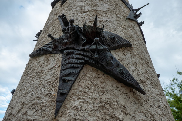
Brussels in Schengen, and Paris in the background
-
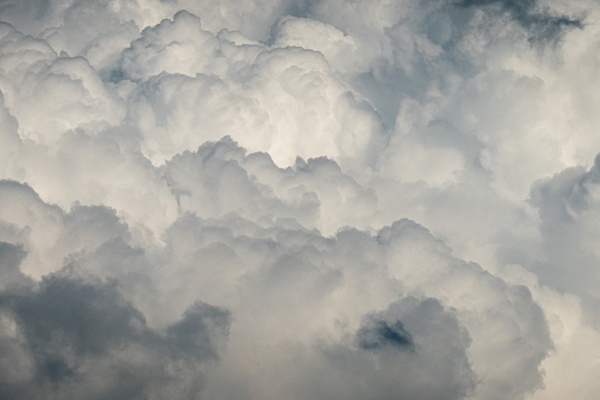
The clouds
-
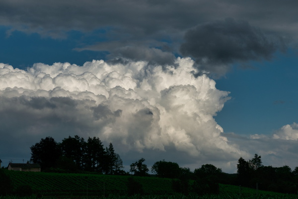
Threatening sky
-
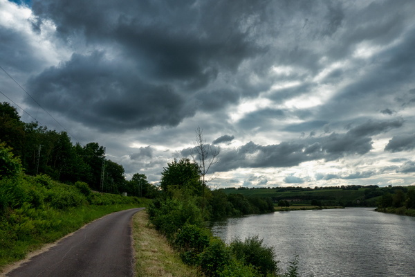
Mosel-Radweg near Rohlingen
-
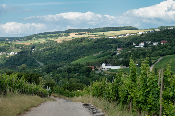
Diving into the Moselle Valley
-
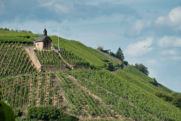
Vineyards near Wormeldange
-
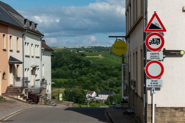
Slope down to the Moselle valley
-
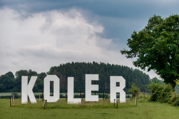
Koler
-
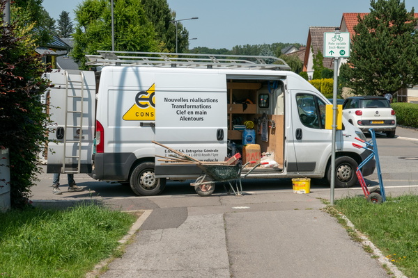
No comment
-
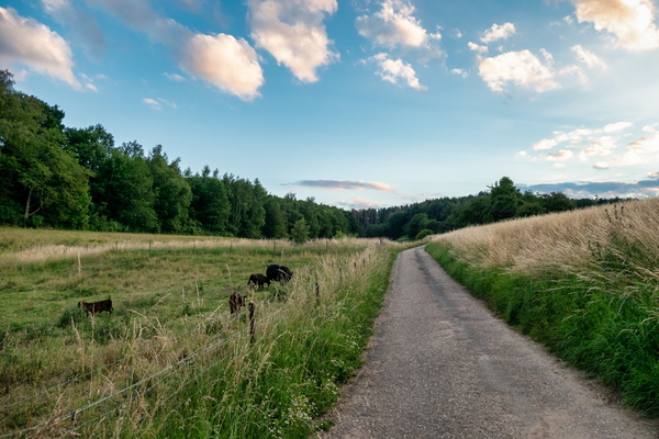
Asphalt track near Junglinster
-
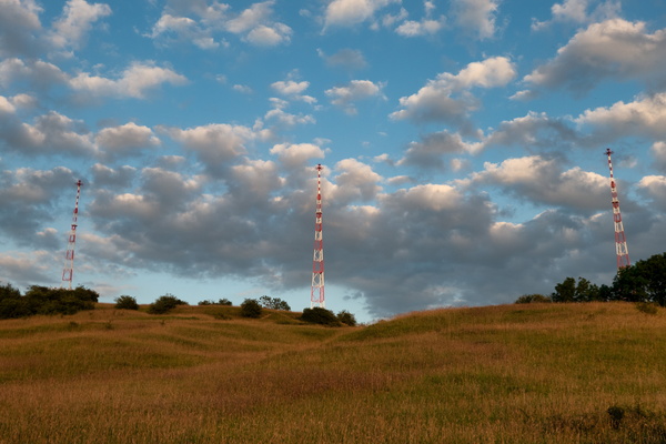
Three Eiffel towers?
-
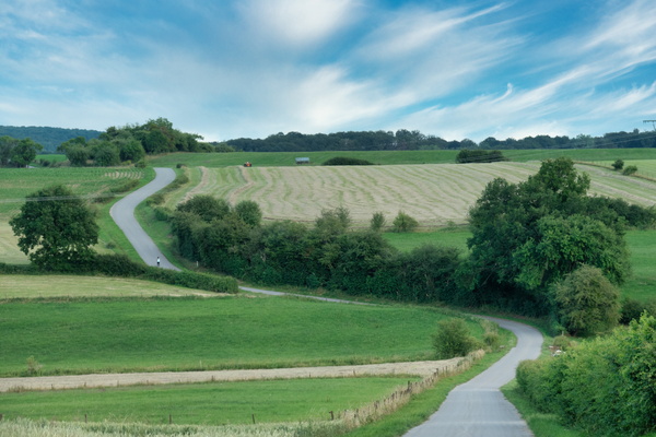
Asphalt trac near Heffingen
-
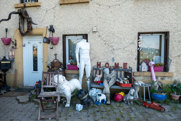
Strange home
-
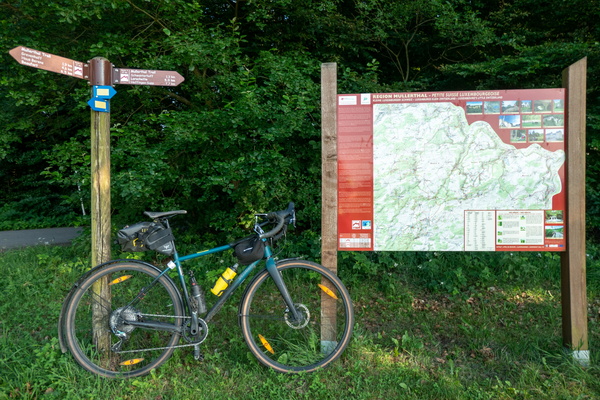
Mullerthal Trail
-
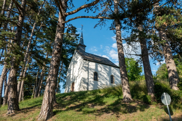
Niederglabach's chapel
-
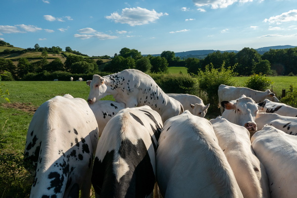
Porn scene
-
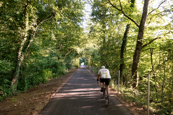
Retired person on his daily ride
-
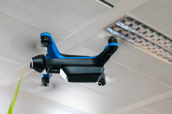
A drone in the office
-
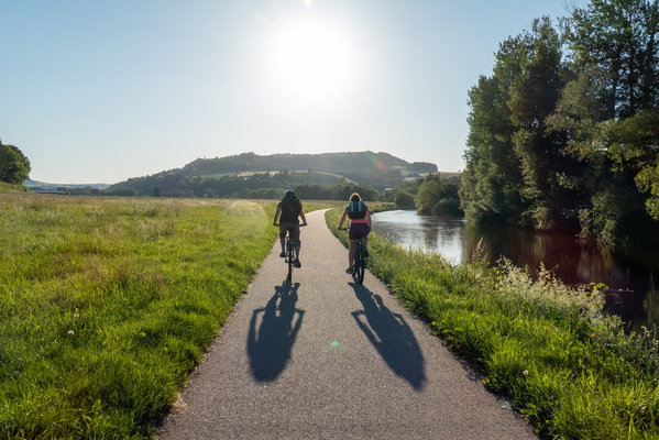
Couple of cyclists near Diekirch
-
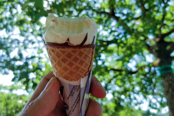
I scream for an ice cream
-
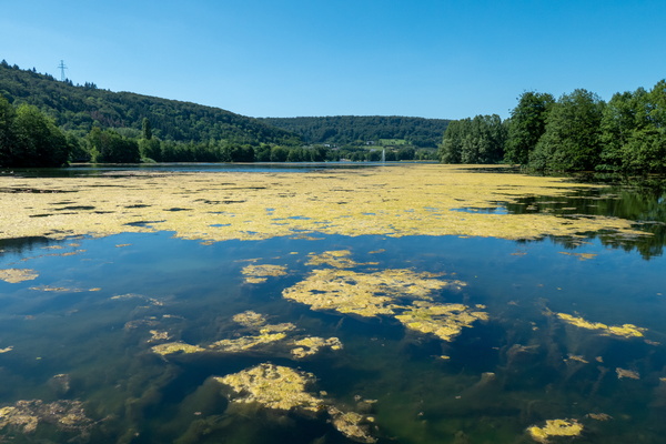
Echternach lake
-
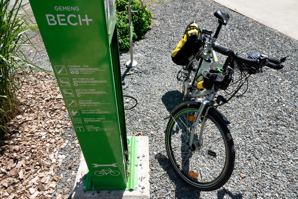
Bike station at Becher Gare
-
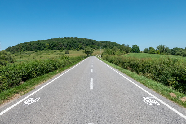
New cycling infrastructure near Junglinster
-
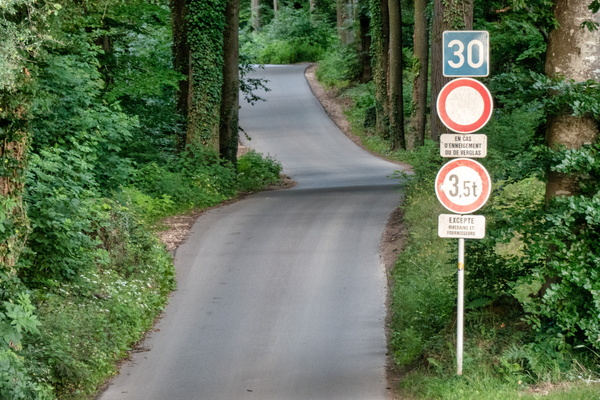
Totem
-
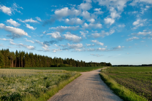
Gravel track North of Bridel
-
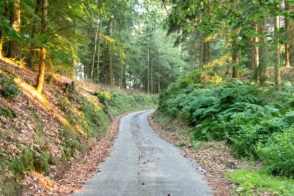
Gousselerbierg climb
-
Opened hard disk

-
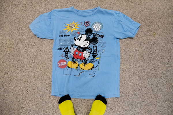
Capitalism in the office
-
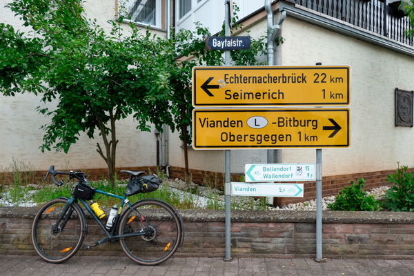
Unexpected cycling route
-
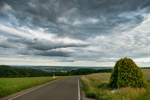
The Eifel near Kandlerhof
-
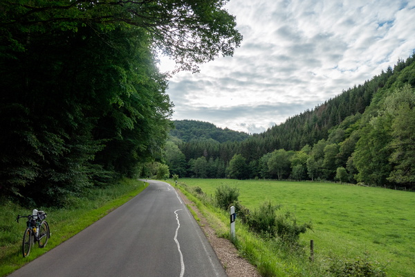
The Irsen valley
-
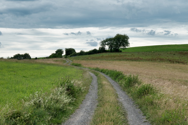
Climbing up in the Eifel
-
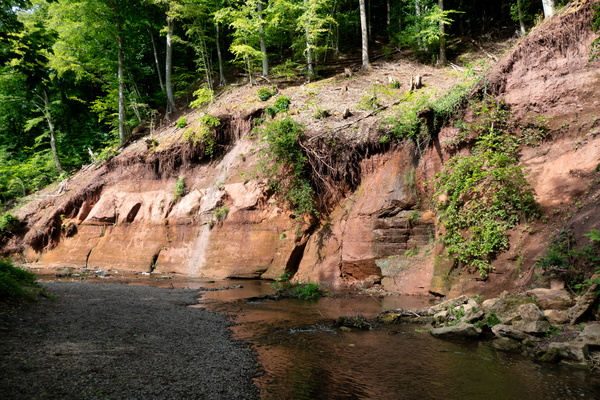
Roter Puhl
-
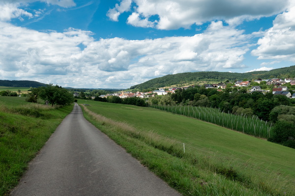
Prümtal Radweg
-
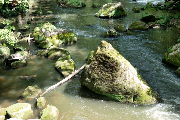
Irrel waterfall
-
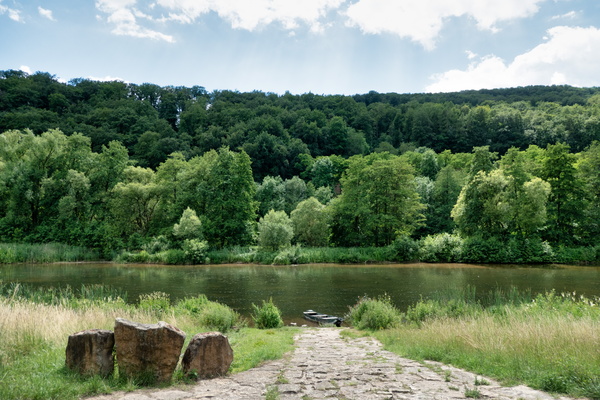
Sauer river
-
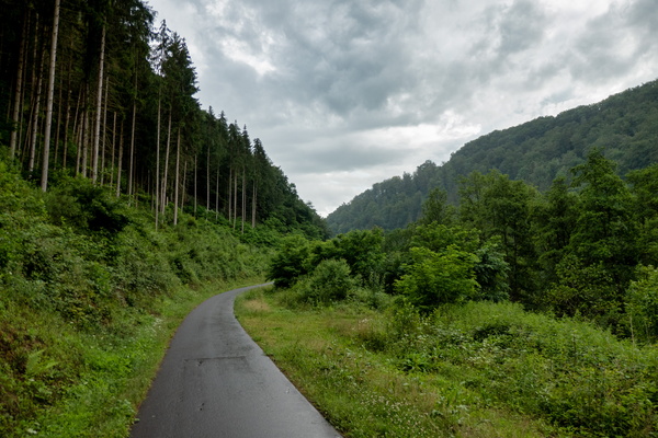
Kylltag-Radweg near Auw an der Kyll
-
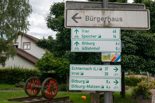
Cycling directions in Erdorf
-
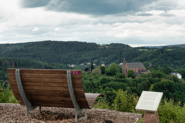
View on Kyllburg
-
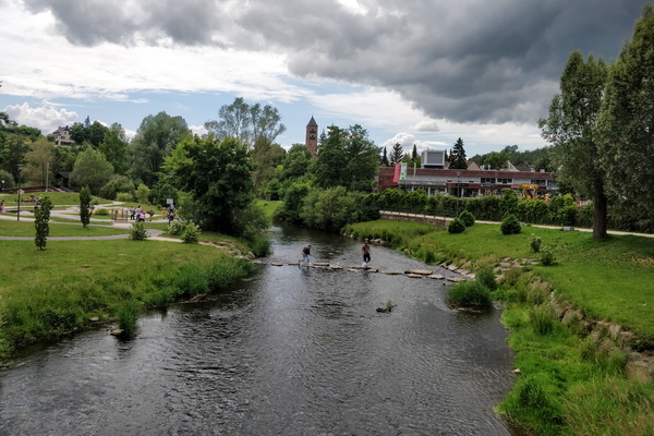
The Kyll river in Gerolstein
-
Cycling holidays
-
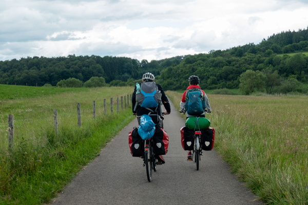
Eifel-Ardennen Radweg near Waldkönigen
-
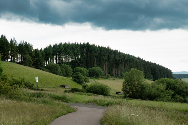
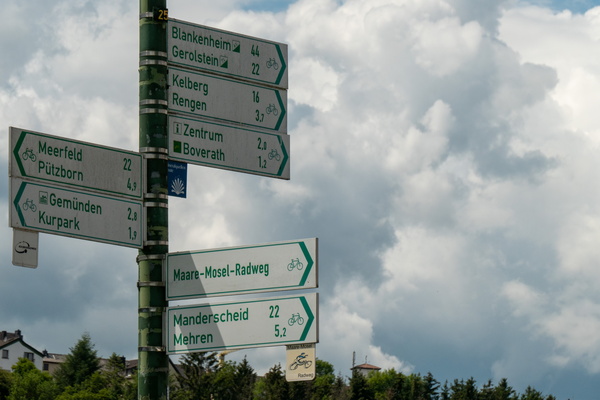
Cycling directions near Daun
-
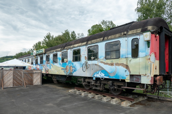
Train café in Daun
-
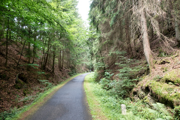
Maare-Mosel-Radweg near Daun
-
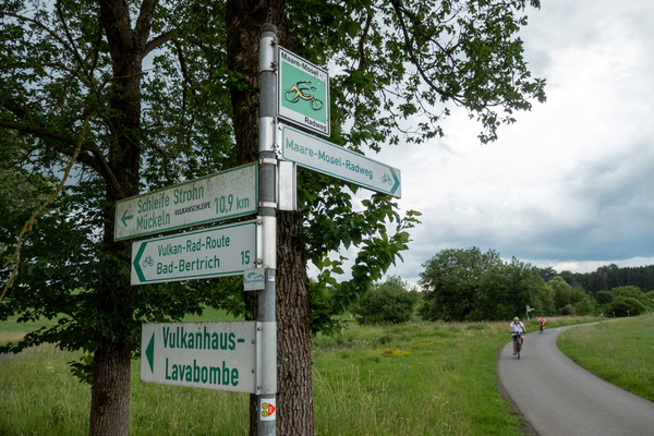
Cycling directions near Gillenfeld
-
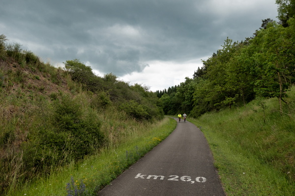
Kilometre 26 of the Maare-Mosel-Radweg
-
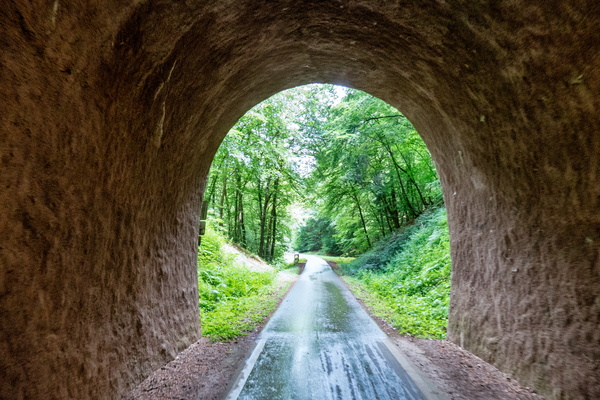
Cycling tunnel near Wittlich
-
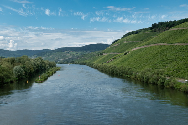
The Moselle near Bernkastel-Kues
-
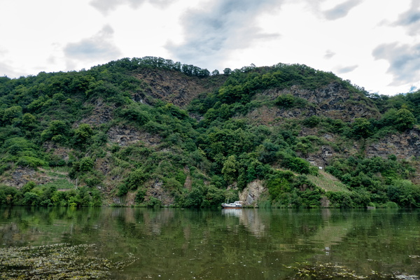
The Moselle near Bernkastel-Kues
-
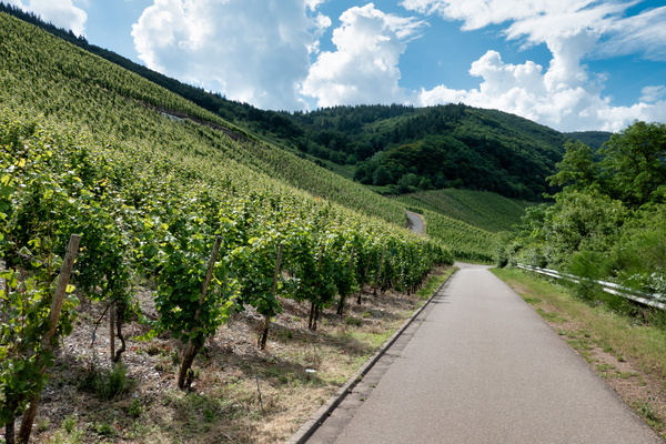
Moselle vineyards
-
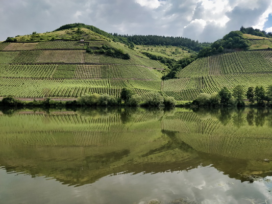
The Moselle river near Kirsch
-
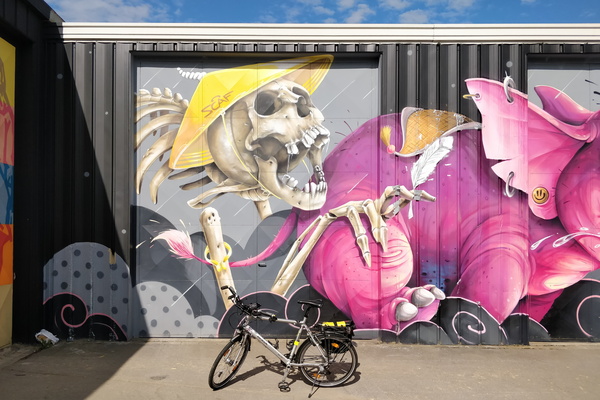
Mural in Leudelange
-
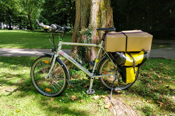
Quaxing
-
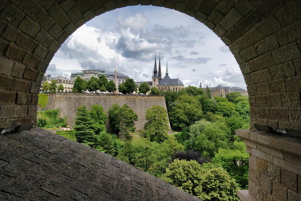
Under Pont Adolphe
-
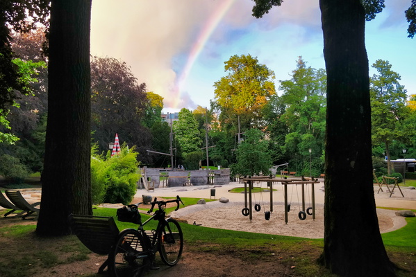
Rainbow in the park
-
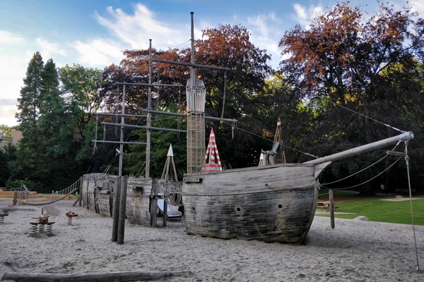
The pirate ship playground
-
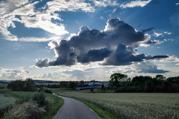
Some clouds near Bertrange
-
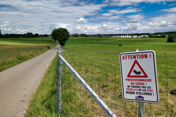
Warning sign
-
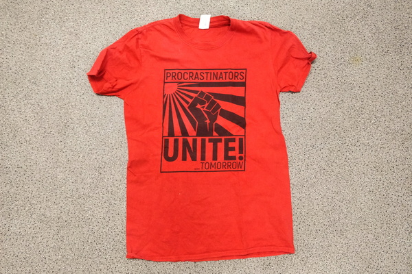
Office outfit of the day
-
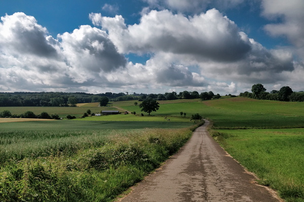
Hide and seek game between sun and clouds
-
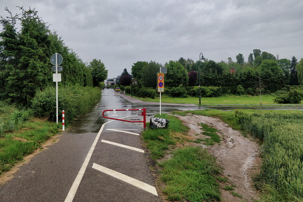
Barrier bypass
-
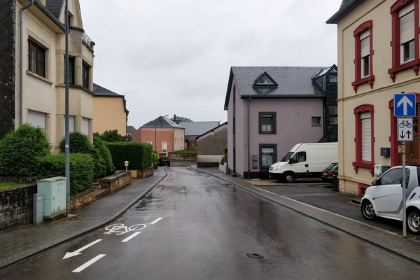
Rue de la Gare, Mamer
-
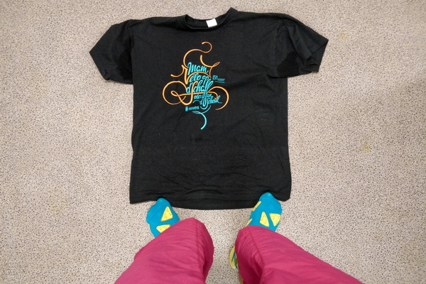
Office outfit of the day
-
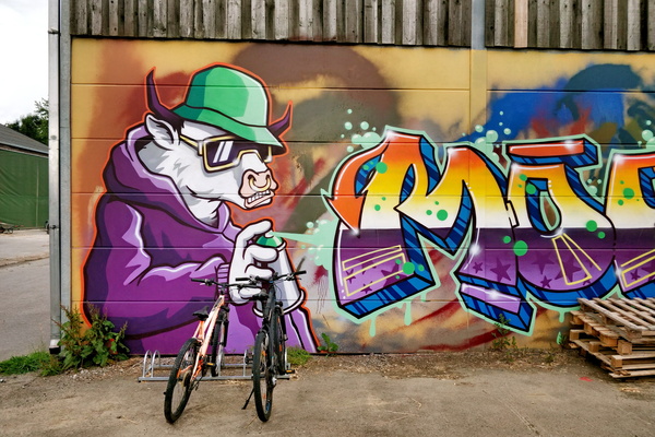
Mural at Bouferterhaff
-
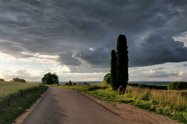
Clouds at the outlook
-
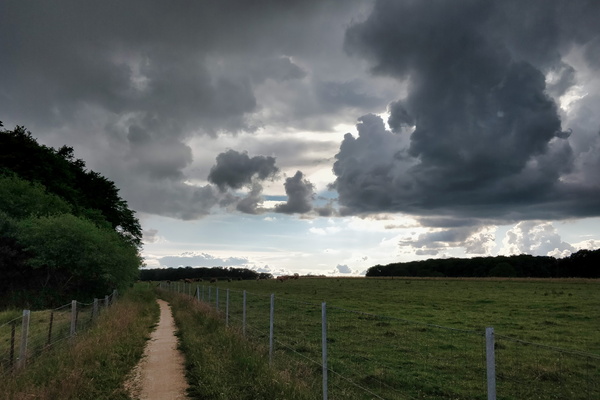
Falling sky?
-
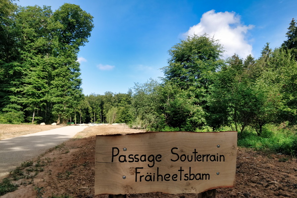
Fräheetsbam underpass sign
-
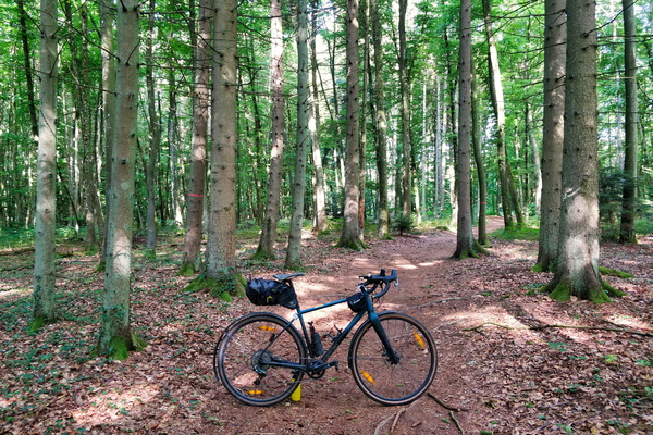
Morning commute in Bambësch
-
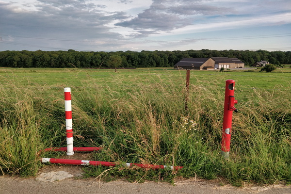
Swing gate won't swing anymore
-
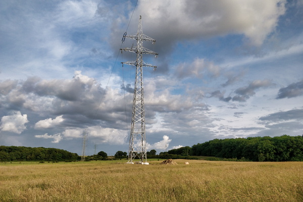
Pylon replaced following last year's tornado
-
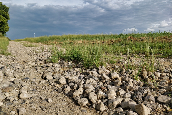
Cycling infrastructure in Koerich
-
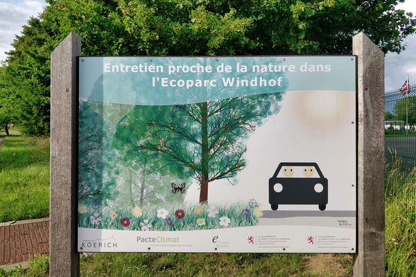
Ecoparc = happy in a car?
-
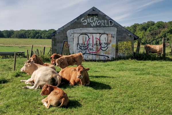
They don't care about our sick world
-
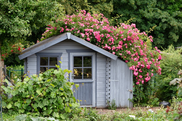
Garden shelter
-
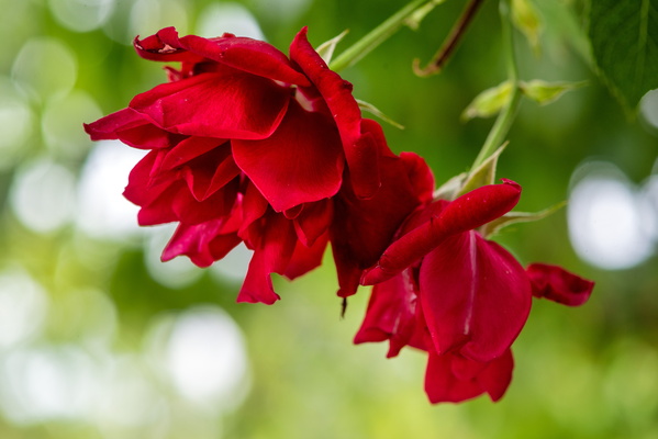
Rose
-
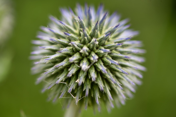
Blooming plant
-
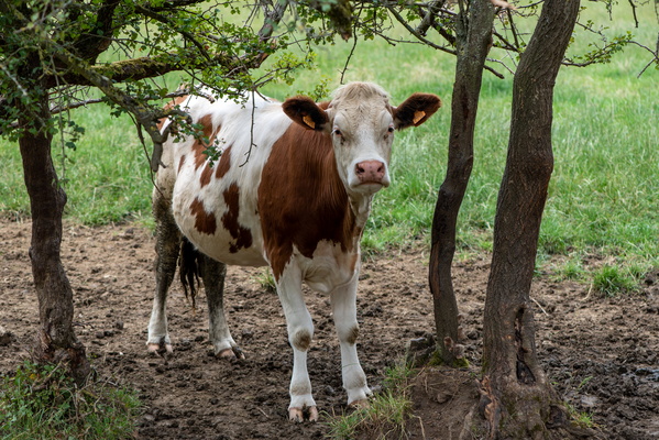
Cow trying to hide
-
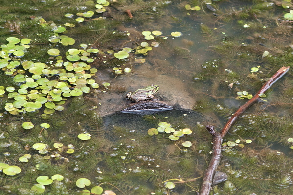
Swimming toad
-
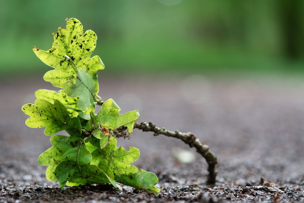
Oak leaves
-
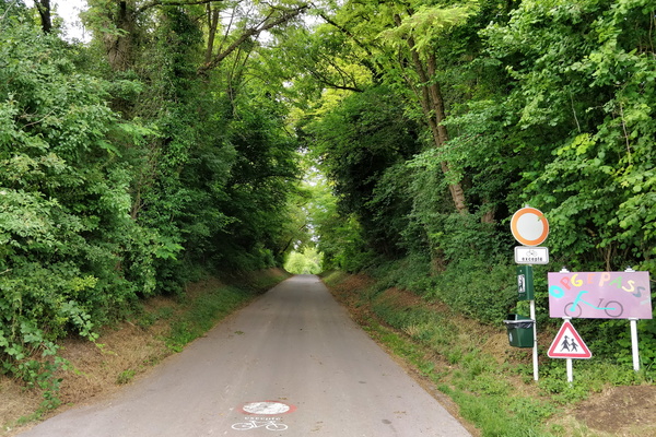
Opgepasst Vëlo
-
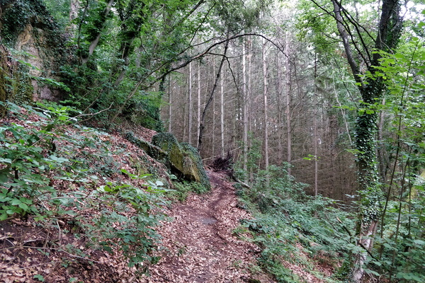
MTB trail Dalheim
-
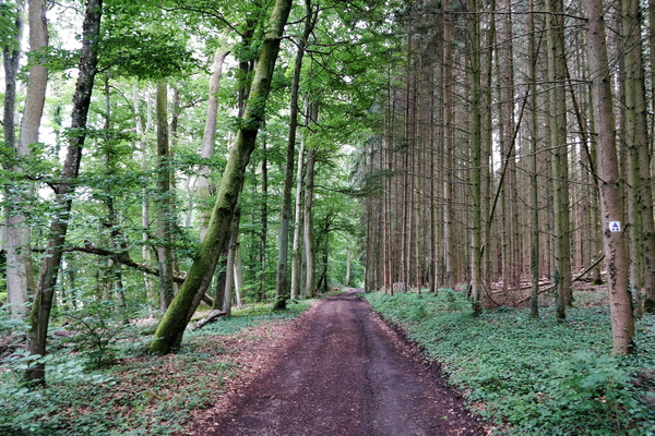
MTB trail Dalheim
-
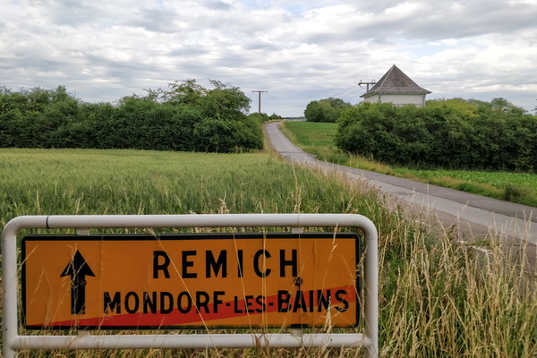
Getting out of Mondorf-les-Bains
-
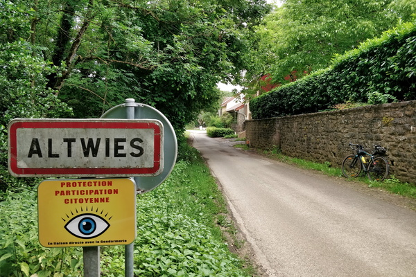
Altwies, in France...
-
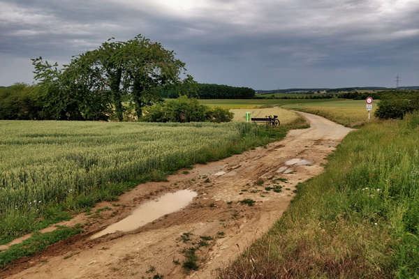
France/Luxembourg border
-
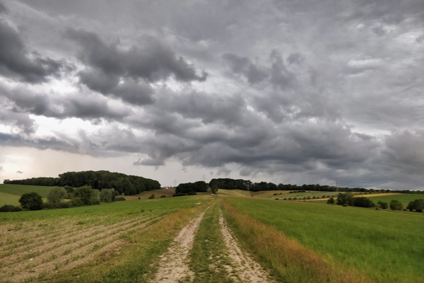
A few minutes before the thunderstorm
-
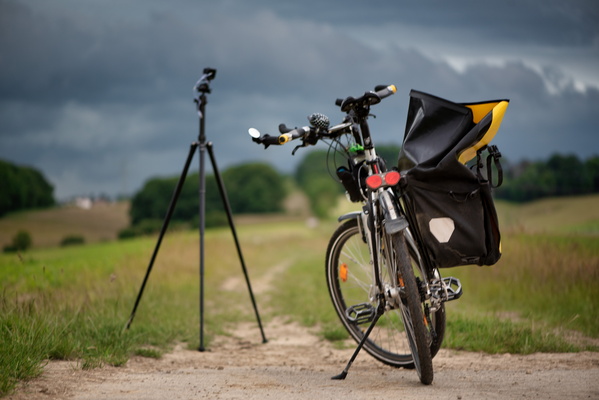
Time lapse shooting of the coming thunderstorm
-
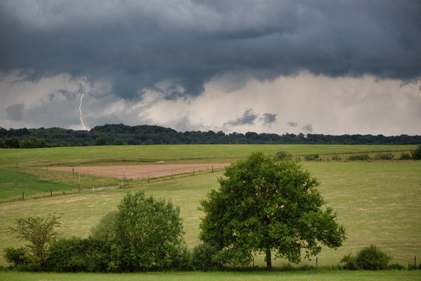
Thunderstorm!
-
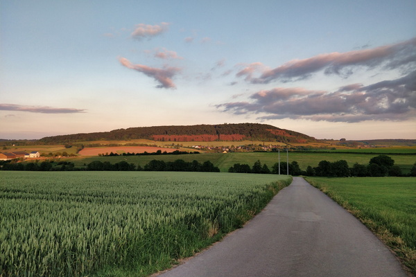
Golden hour near Betzdorf
-
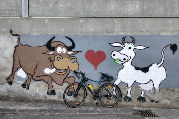
Mural in a farm in Flaxweiler
-
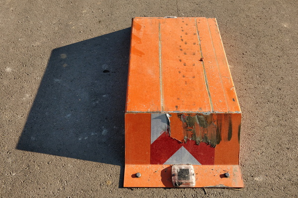
Car barrier near Moutfort
-
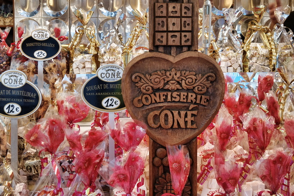
Sweet delights in Bertrange
-
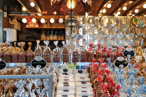
Sweet delights in Bertrange
-
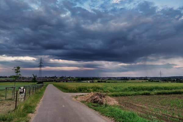
Showers in the area of Euro-School II
-
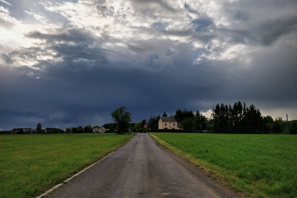
Wil the sky fall?
-
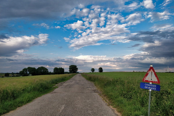
A road in Belgium
-
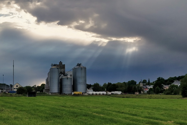
Moulin de Kleinbettingen
-
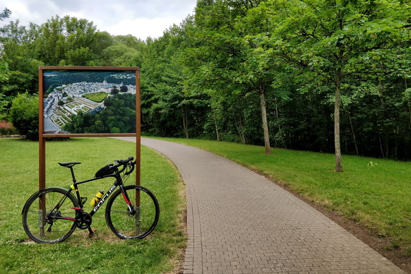
Colmar Berg park
-
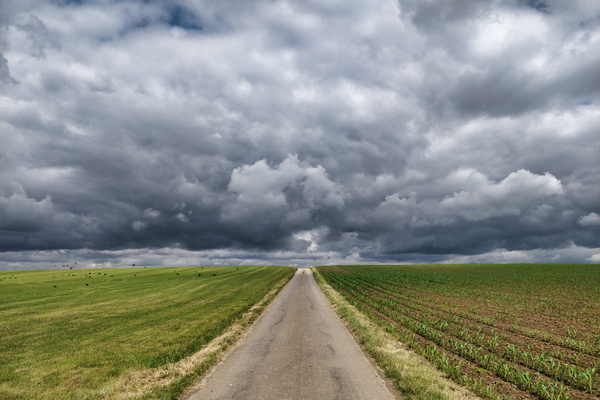
Threatening sky
-
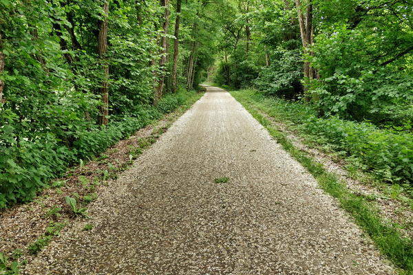
Snow? Petals!
-
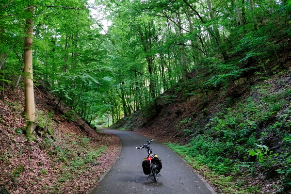
Piste cyclable d'Echternach
-
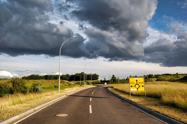
Crazy light in Junglinster
-
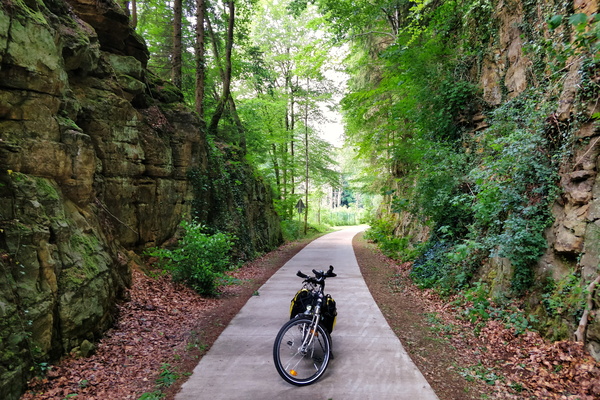
Back from bike shopping via PC 5
-
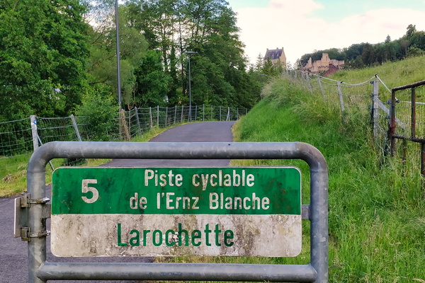
Arriving in Larochette
-
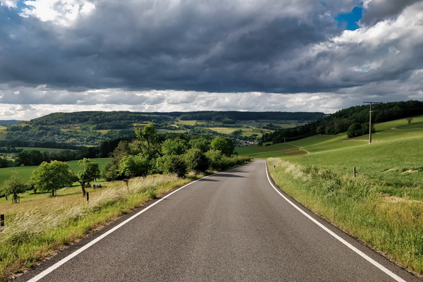
Just above Bettendorf
-
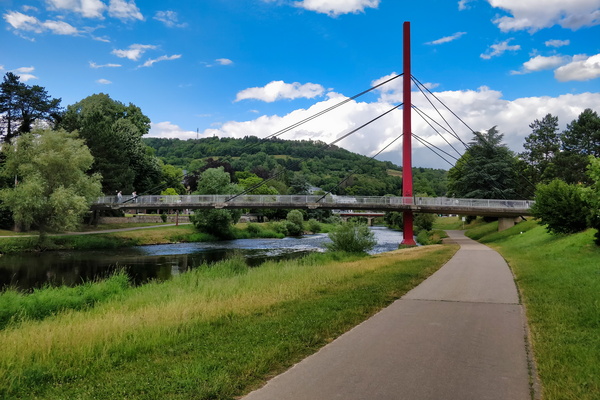
Bridge over PC 16 in Diekirch
-
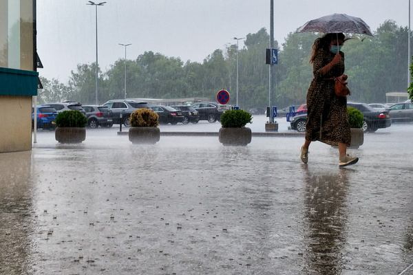
Seeking refuge
-
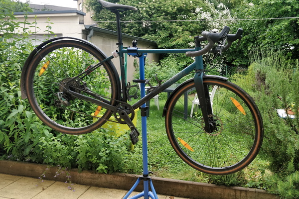
Bike cleaning and minor revision
-
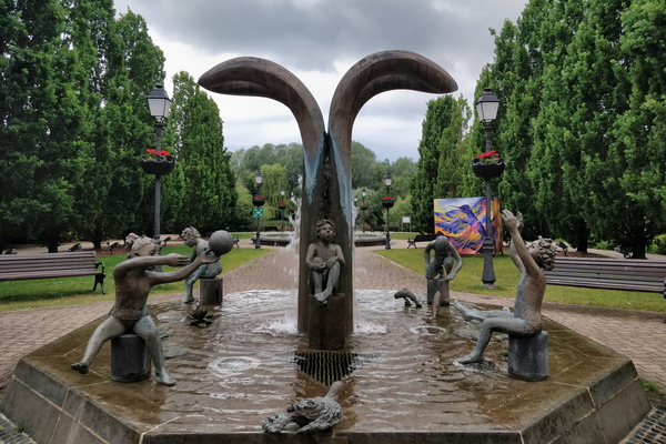
Fountain in Hesper Park
-
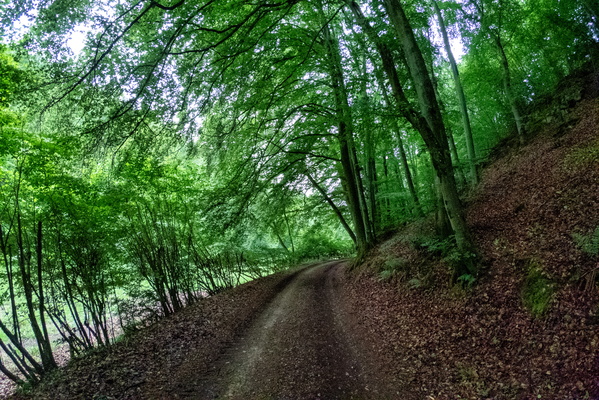
Syrdall VeloRoute near Syren
-
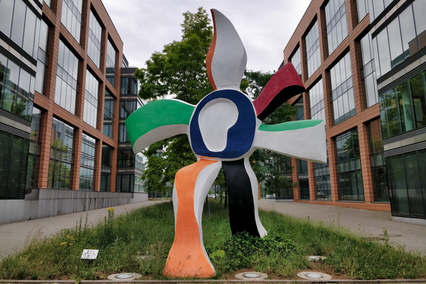
La Grande Fleur qui Marche
-
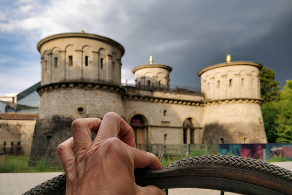
What a great place to fix a tyre puncture
-
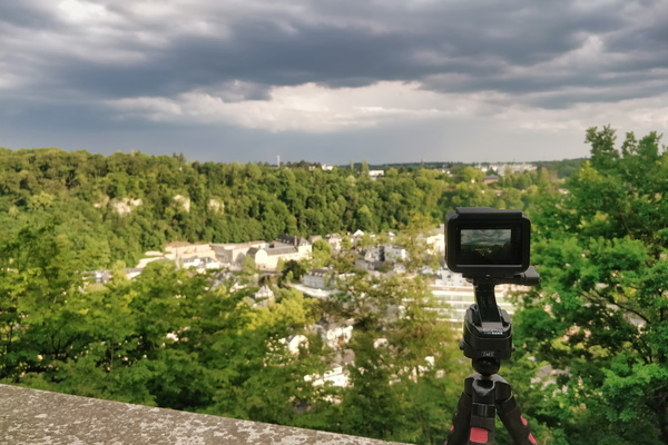
Making a time lapse movie of the coming thunderstorm
-
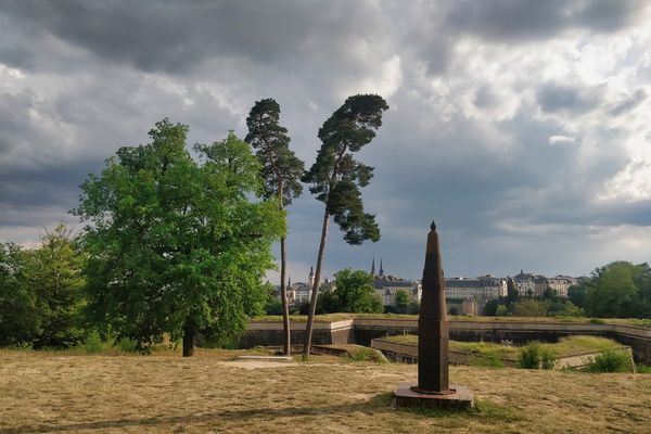
Waiting for the thunderstorm
-
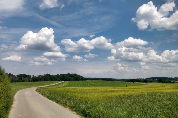
Several hours before the storm
-
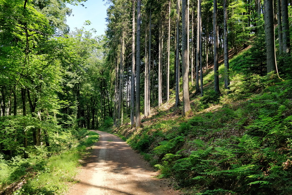
Mamerdal track
-
Mamerdal canyon

-
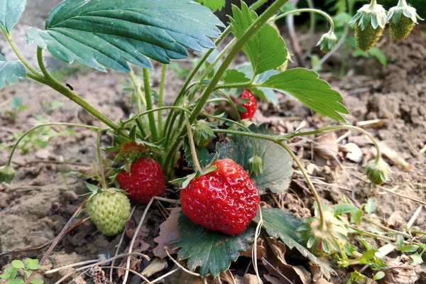
Journey to the garden
-
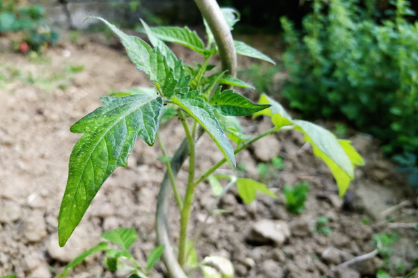
Journey to the garden
-
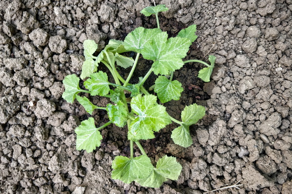
Journey to the garden
-
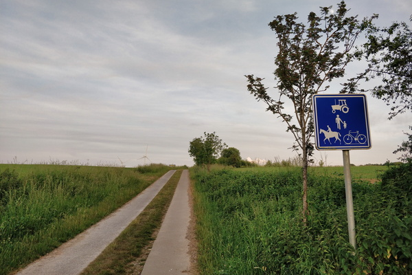
Paved track near Barnich, Arlon, Belgium
-
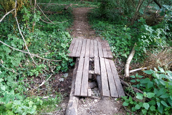
This is a bridge
-
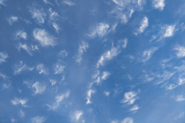
Interesting clouds
-
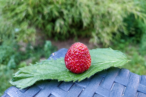
Strawberry mint
-
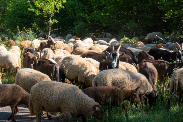
Goats and sheep
-
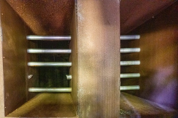
An intrusion into the mine
-
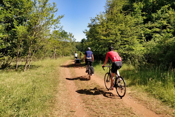
Cycling in Ellergronn
-
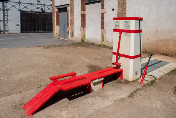
Bike wash station in Ellergronn
-
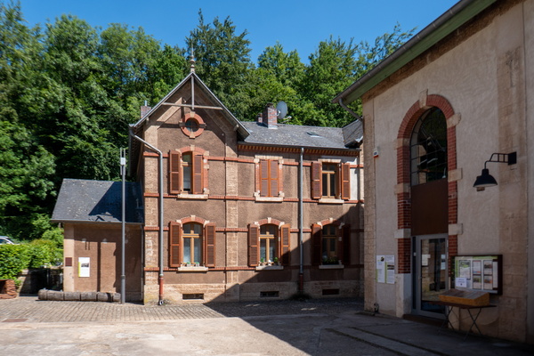
Ellergronn
-
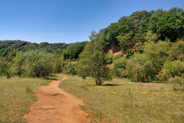
Land of the Red Rocks
-
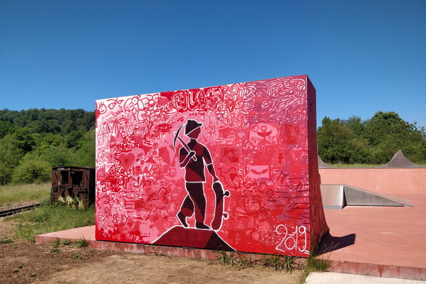
Painted skatepark in the Land of the Red Rocks
-
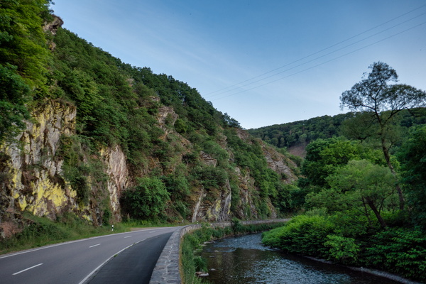
Sauertal near Erpeldange-sur-Sûre
-
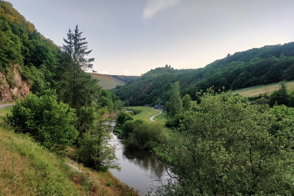
Sauertal near Bourscheid-Moulin
-
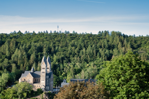
Clervaux church
-
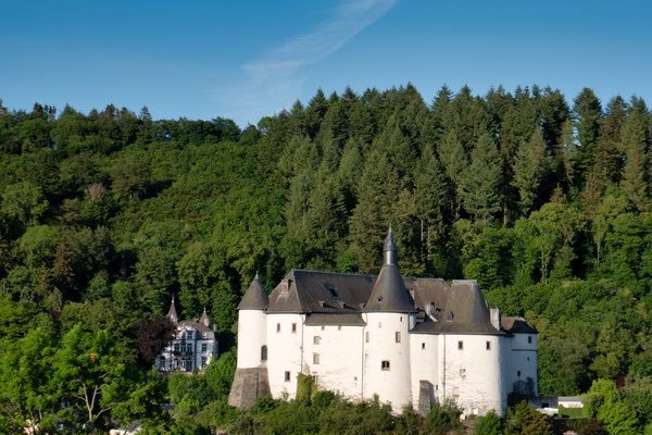
Clervaux castle
-
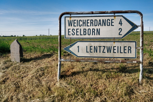
Good-old sign
-
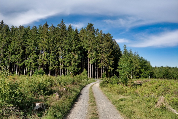
Track on the way between Bastogne and Clervaux
-
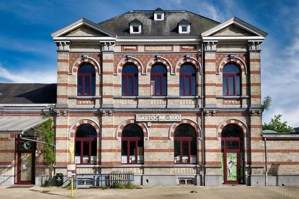
Bastogne-Sud station
-
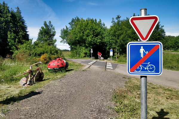
pré-RAVeL L163 cycleway between Libramont and Bastogne
-
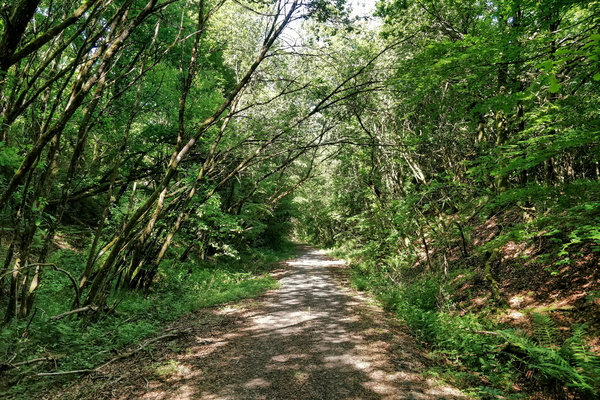
RAVeL rhymes with gravel
-
pré-RAVeL L163 cycleway between Libramont and Bastogne
-
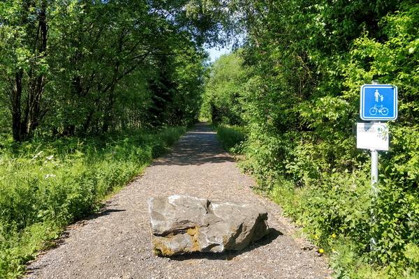
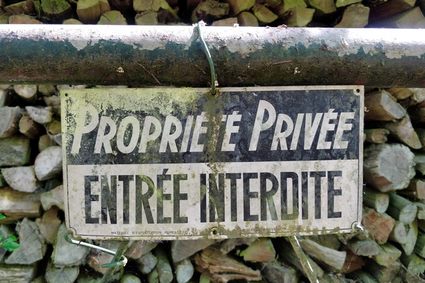
Access restricted to the Sauer river source
-
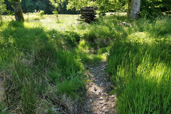
Source of the Sûre river
-
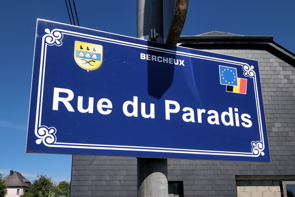
Rue du Paradis
-
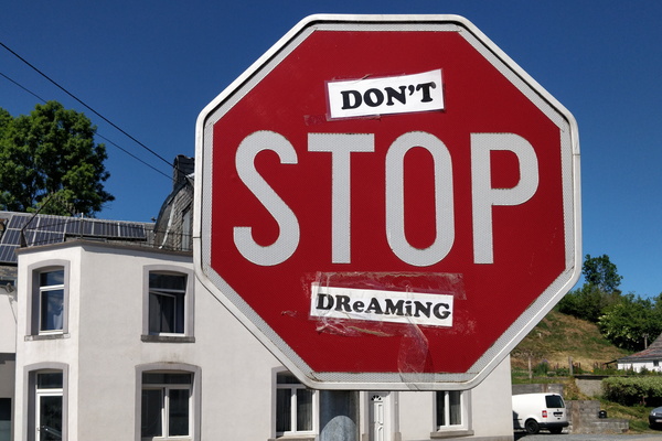
Don't stop dreaming
-
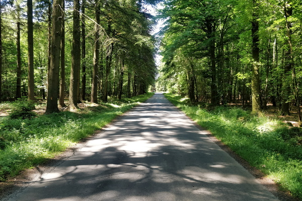
Quiet road between Habay and Neufchâteau
-
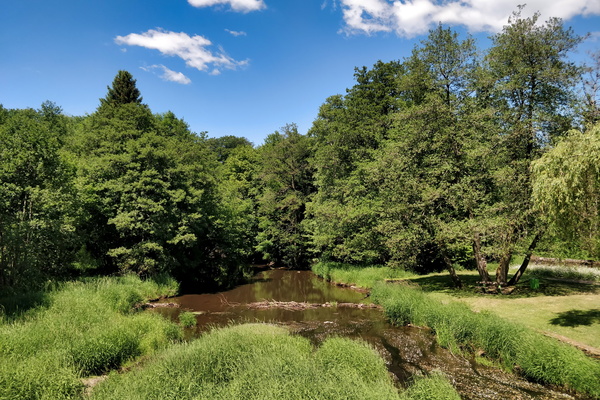
La Rulles river in Habay
-
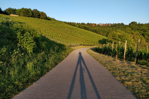
I'm looking like a tripod
-
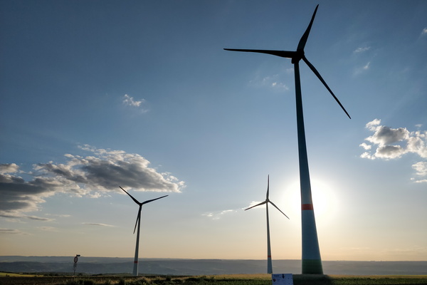
Windmills
-
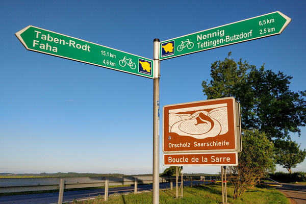
Cycling directions between the Saar and Moselle valleys
-
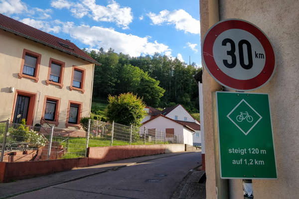
Climbing information sign
-
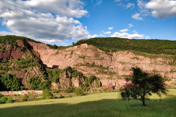
Quarry
-
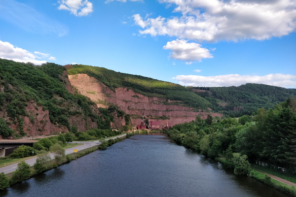
On a bridge over the Saar river
-
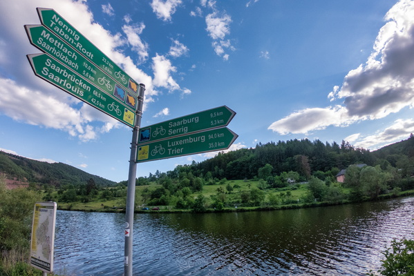
Cycling directions near Serrig
-
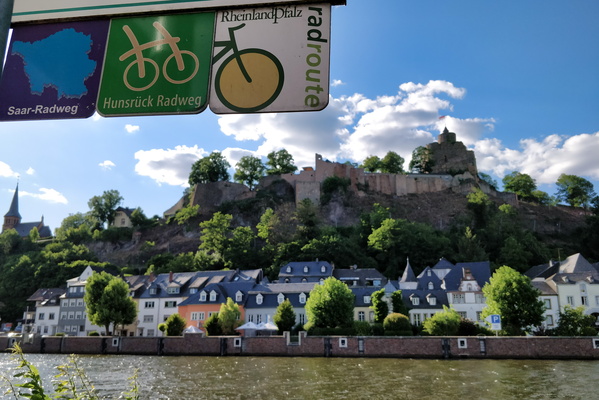
The town of Saarburg
-
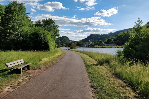
The Saar-Radweg
-
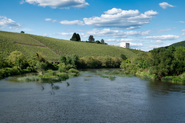
The Saar river near Ayl
-
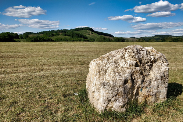
View from Saar-Radweg near Kanzem
-
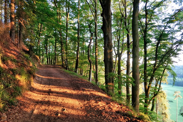
Climbing above Mamerdal
-
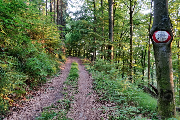
Private property
-
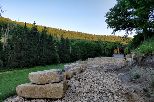
PC 14 extention construction works
-
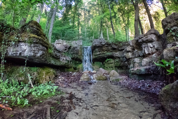
Hunnebur waterfall
-
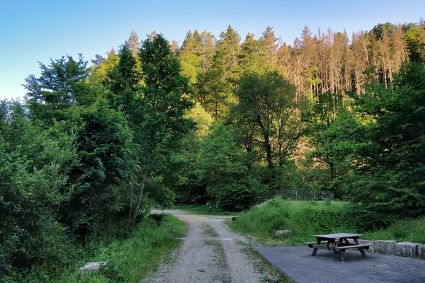
Track and picnic place between Hollenfens and Marienthal
-
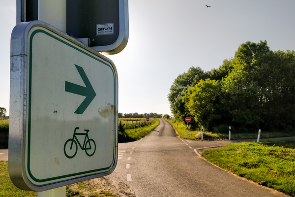
Please go cycle to this one-way road
-
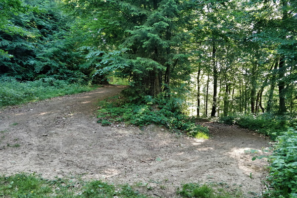
Track going to the Valley of the Seven Castles
-
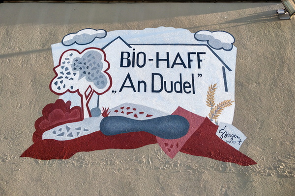
An Dudel organic farm mural
-
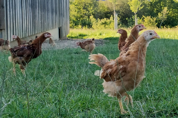
Henses
-
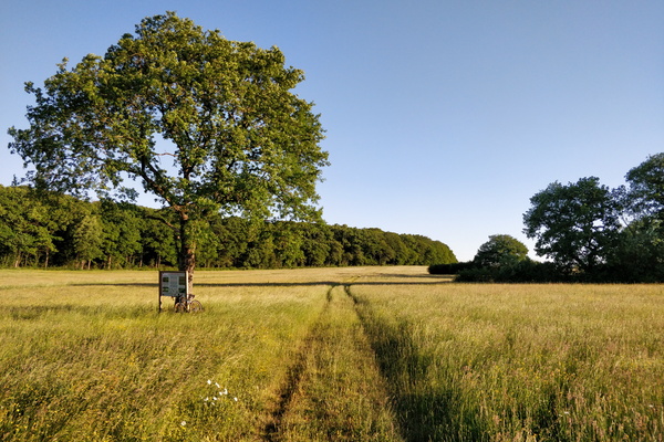
Nature reserve between Schouweiler and Bascharage
-
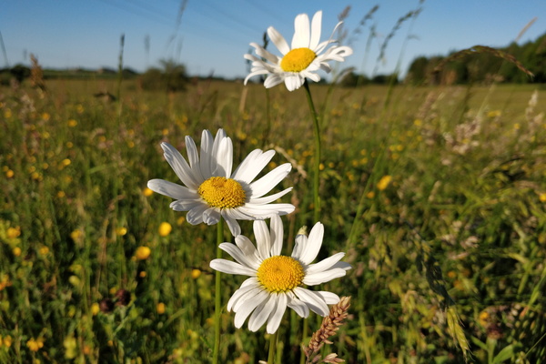
Flowers
-
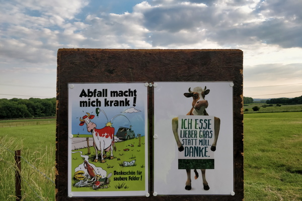
Anti-littering campain
-
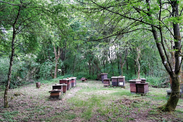
Beehives
-
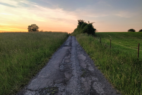
Track near Bettembourg
-
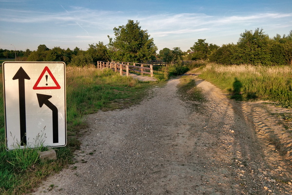
Trying to get the sense of this sign
-
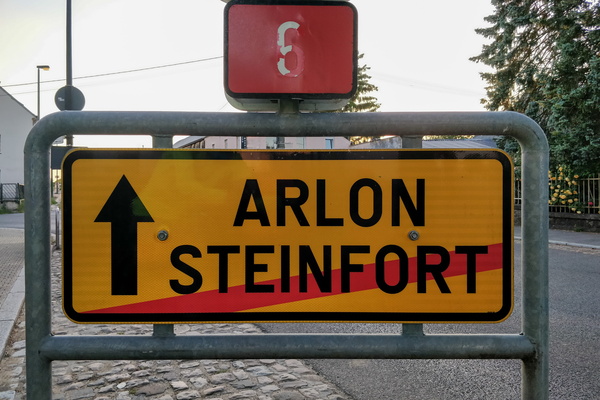
What can happen if I go forward?
-
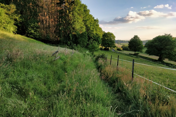
OpenStreetMap track survey
-
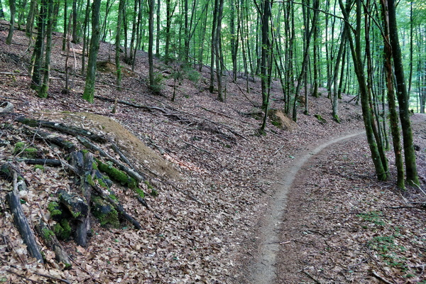
Forest path near Hobscheid
-
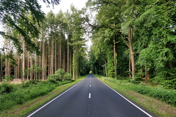
N 8 road near Hobscheid
-
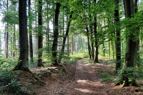
Forest track near Septfontaines
-
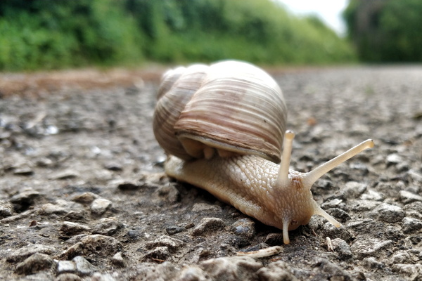
This snail is on a road that is unlikely to be visited
-
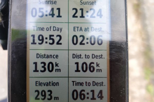
When Garmin didn't realise that I took a shortcut
-
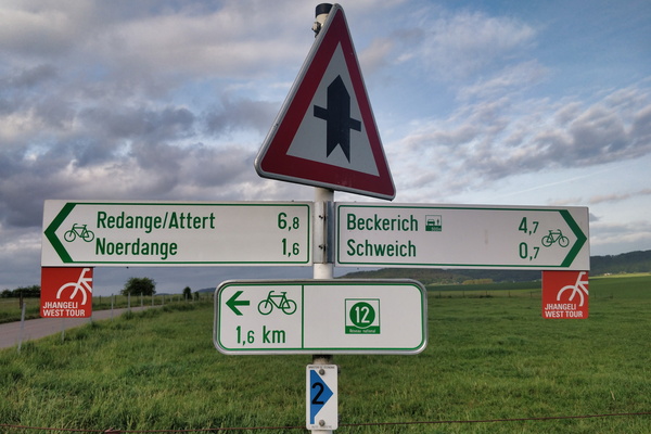
Cycling directions in Schweich
-
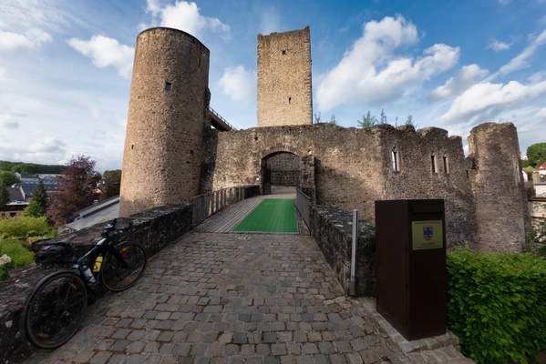
Useldange castle
-
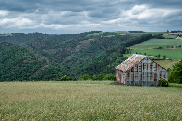
View on Ourtal near Groësteen
-
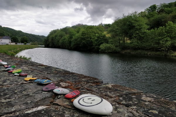
Stones in Stolzembourg
-
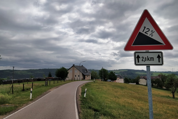
Get ready to roll down
-
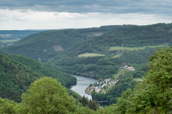
The Our river valley
-
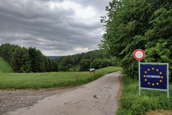
Land border between Germany and Luxembourg
-
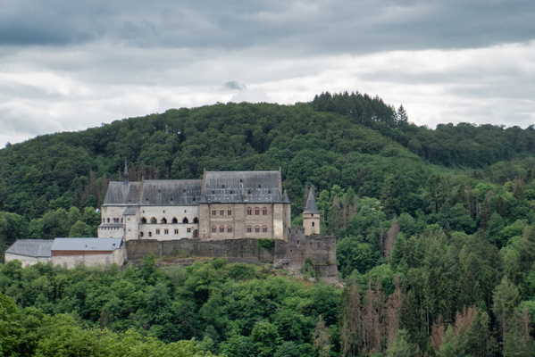
Vianden castle
-
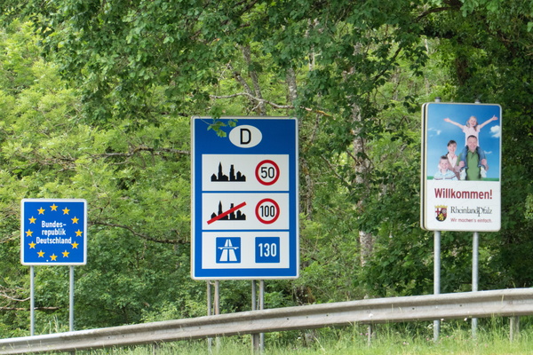
Welcome sign
-
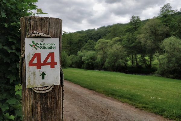
Naturpark Südeifel hiking route
-
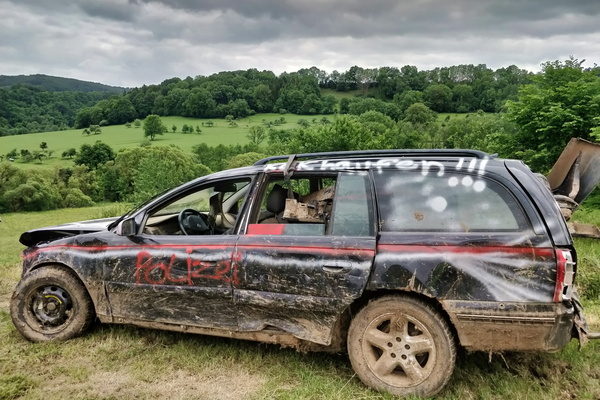
What a car!
-
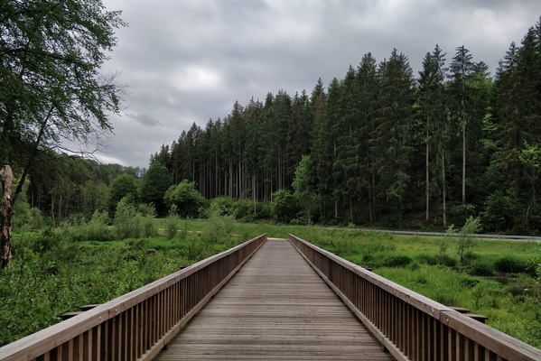
Bridge over the White Ernz river on PC 5
-
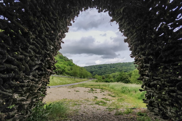
Das Weintor
-
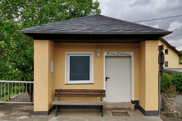
Old German customs
-
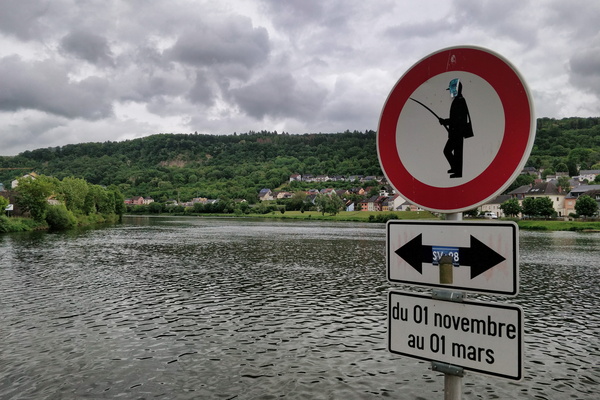
No fishing
-
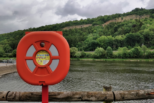
Moselle in Mertert
-
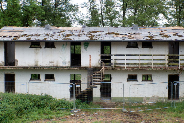
Cité Syrdall in Wecker
-
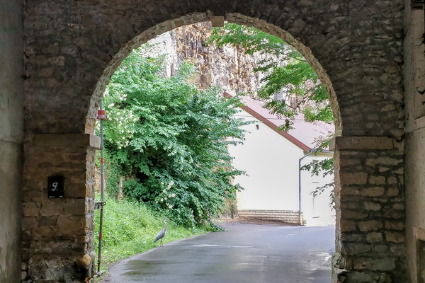
Heron bird
-
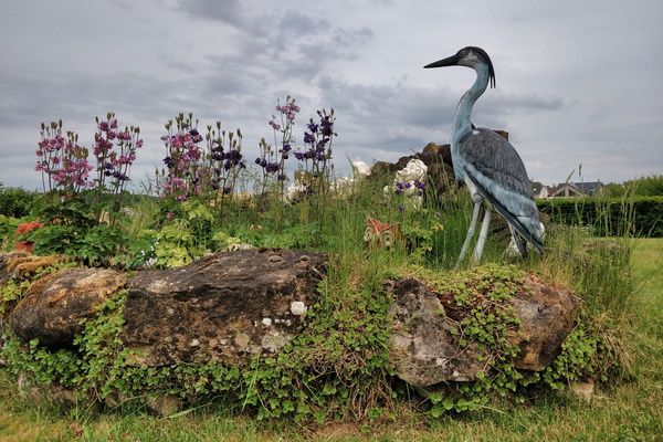
A garden in Steinfort
-
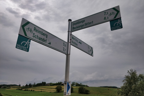
Cycling directions in Vichten
-
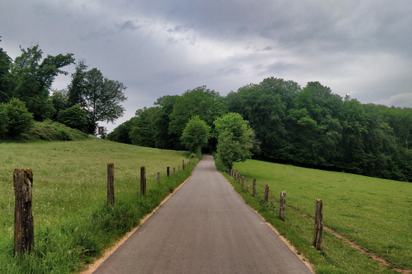
New cycleway between Boevange and Vichten
-
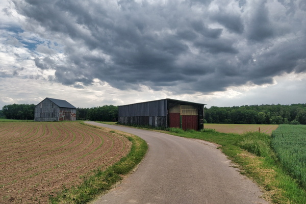
Before the rain
-
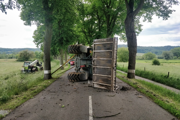
Oops!
-
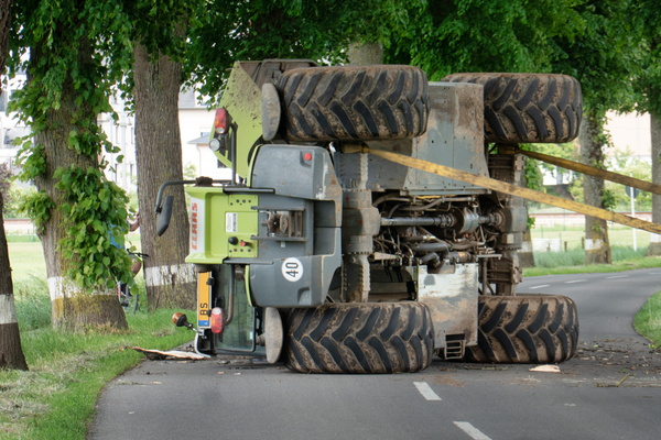
Oops!
-
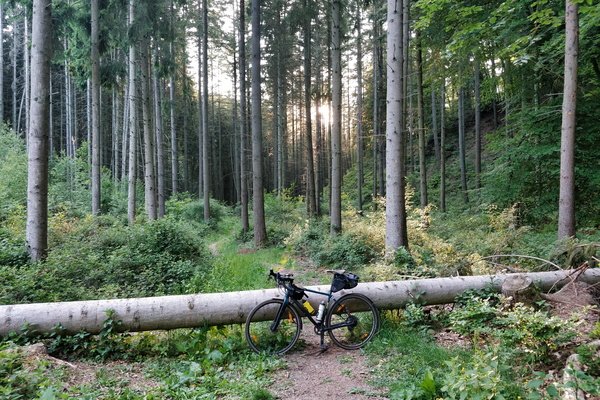
Another cycling challenge
-
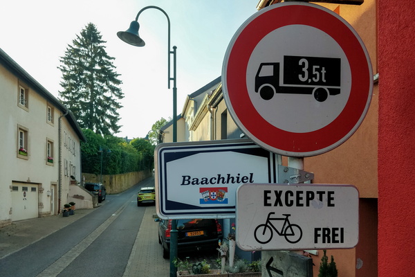
Cycling challenge
-
Sun is hiding
-
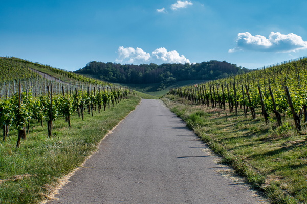
Vineyards near the Moselle
-
Vineyards near the Moselle
-
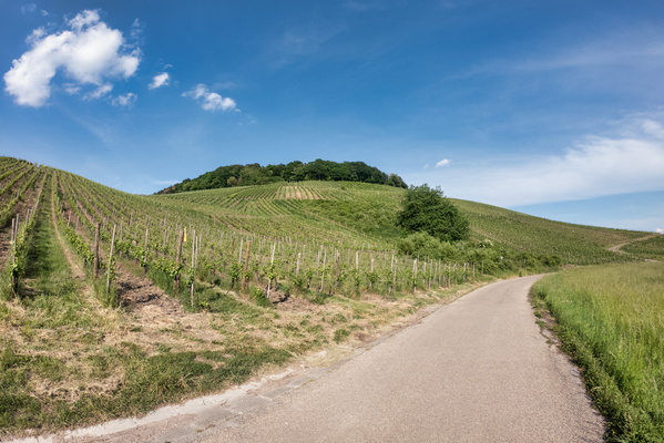
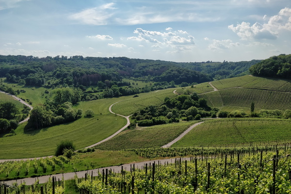
Vineyards near the Moselle
-
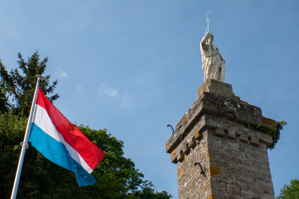
Saint-Donatius monument
-
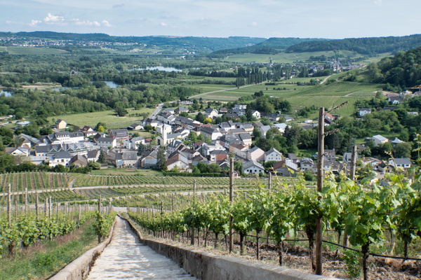
Vineyards near the Moselle
-
Vineyards near the Moselle
-
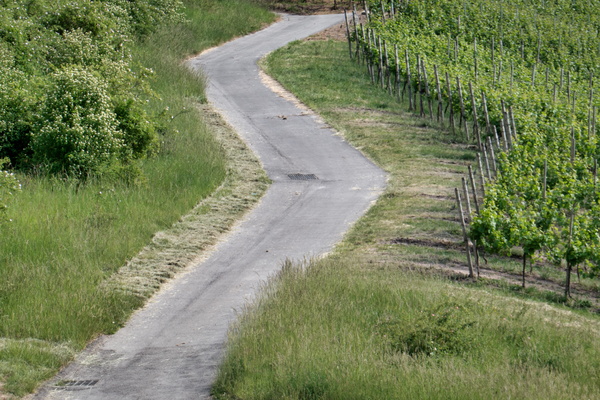
Vineyards near the Moselle
-
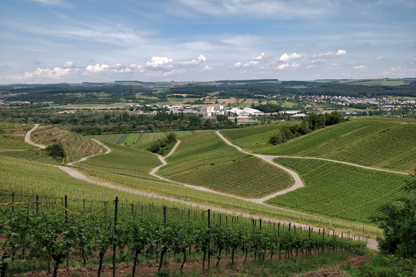
Vineyards near the Moselle
-
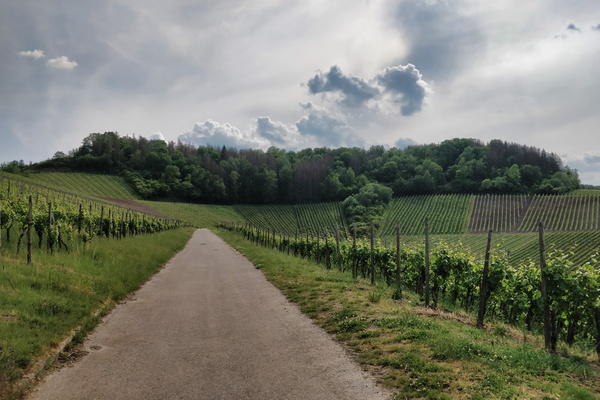
Vineyards near the Moselle
