-
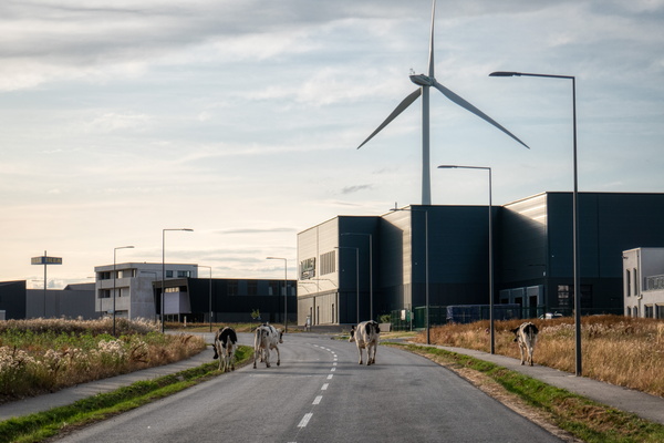
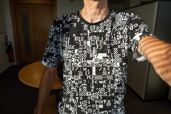
Tee of the day
-
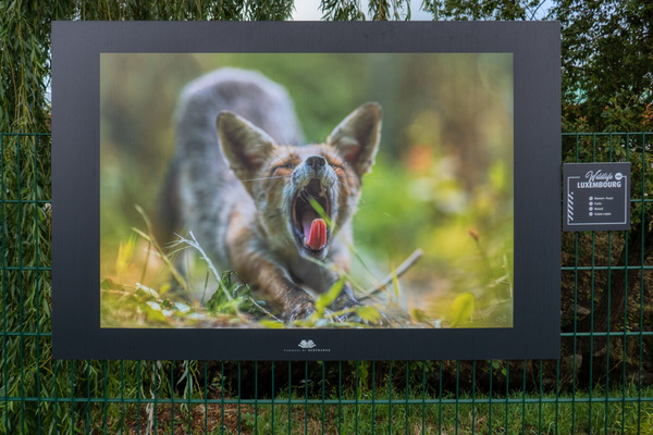
Wildlife photography exhibition in Bertrange
-
Rue des Celtes, Luxembourg
-
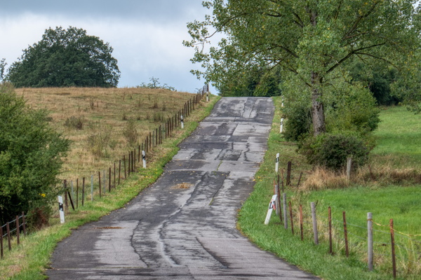
After the storm in Kehlen
-
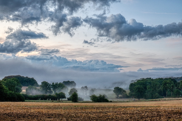
Kehlen just after the thunderstorm
-
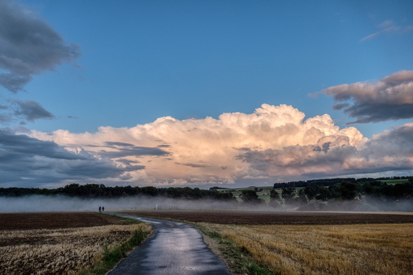
Goeblange water tower just after the thunderstorm
-
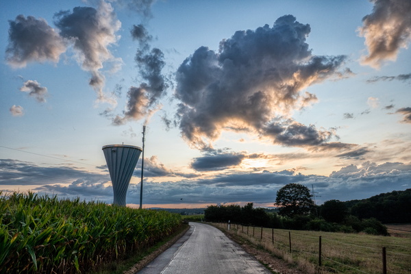
Thunderstorm
-
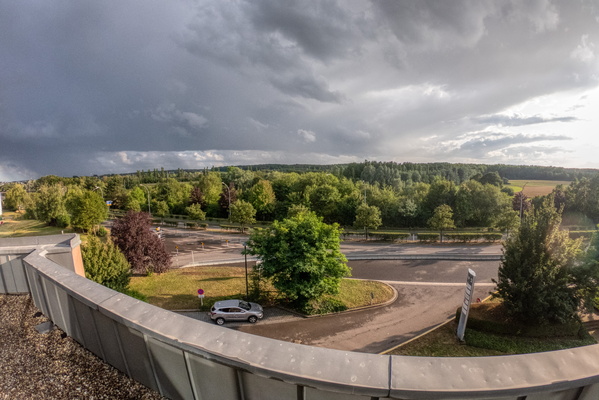
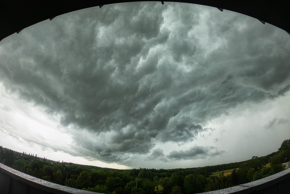
Thunderstorm
-
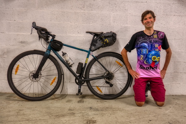
Stuxnet Tee to work
-
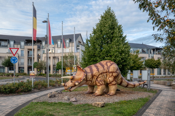
Dinosaur in Irrel
-
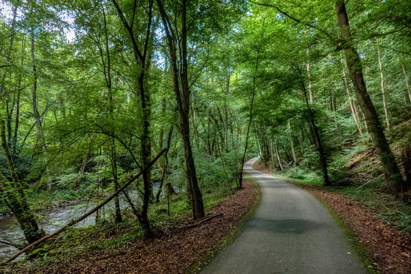
Nims cycle route between Niederweis and Irrel
-
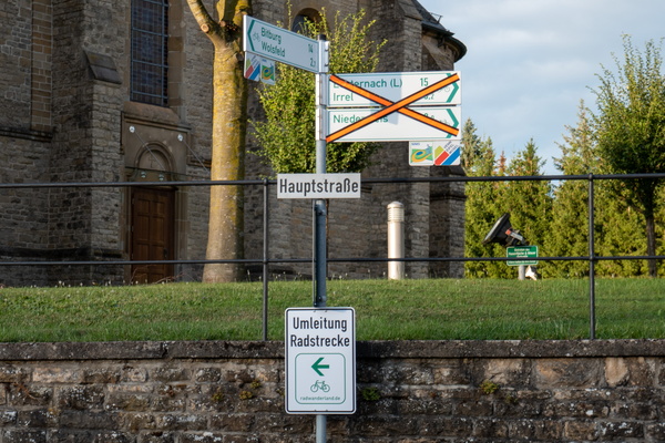
Diversion sign
-
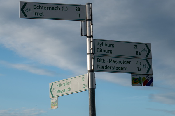
Cycling routes fork near Niederstedem
-
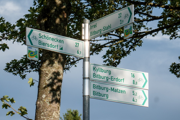
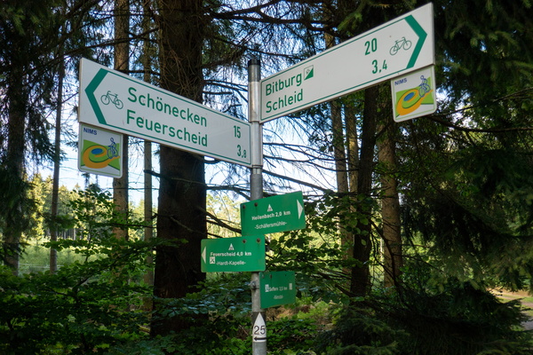
Cycling directions near Bitburg
-
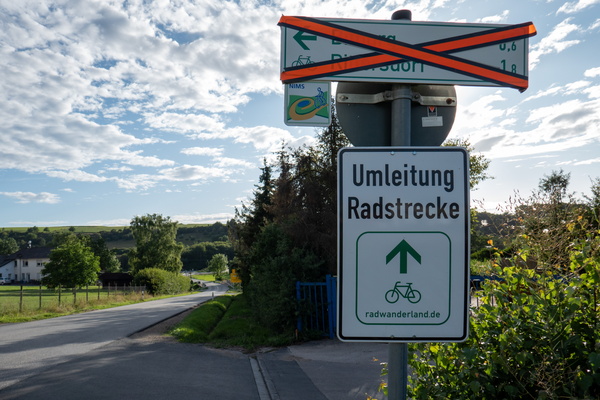
Diversion sign
-
After 3 times up to 15% climbing, signs still shows a 6% climb t
-
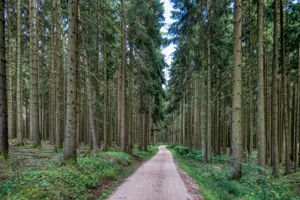
Nims cycle route near Bickendorf
-
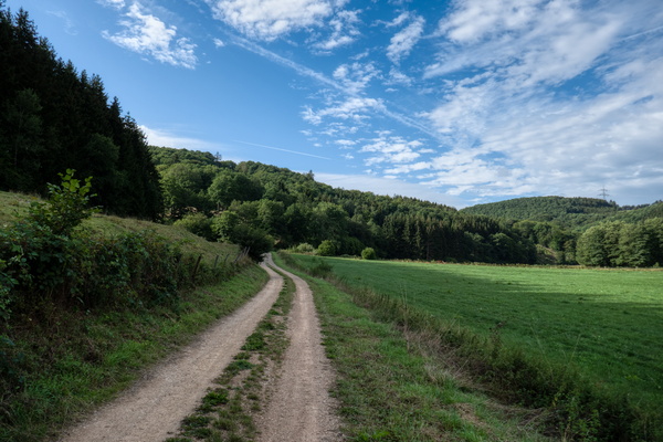
Nims cycle route near Lasel
-
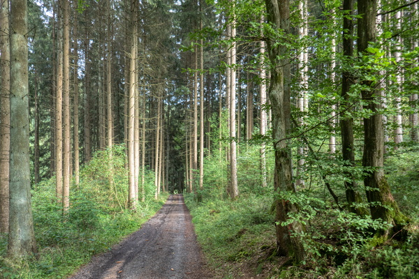
Nims cycle route near Nimsreuland
-
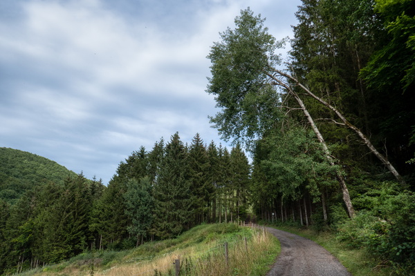
Nims valley near Nimsreuland
-
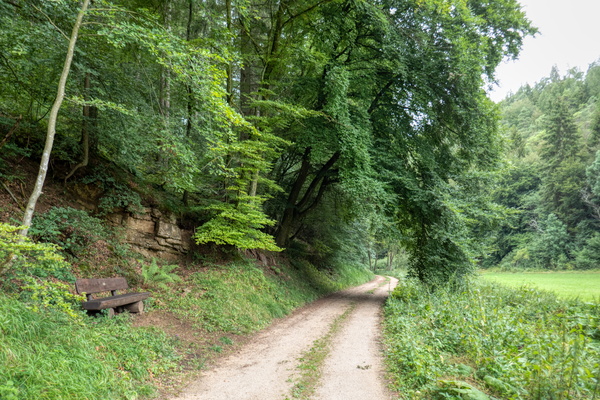
Nims cycle route near Schönecken
-
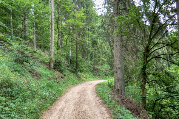
Unpaved Nims cycling route near Schönecken
-
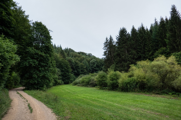
Nims cycle route near Rommersheim
-
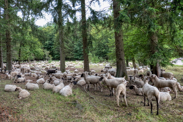
High density of sheep
-
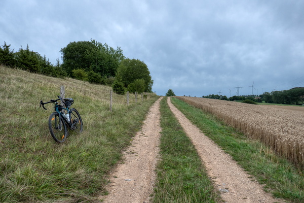
Nims cycle route in Weinsheim
-
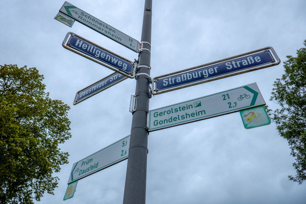
Street names and cycling directions in Weinsheim
-
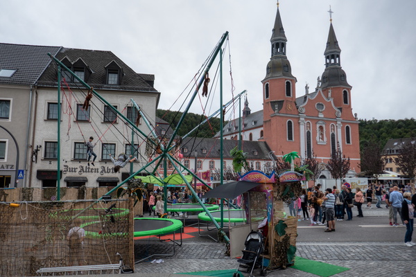
Small funfair in Prüm
-
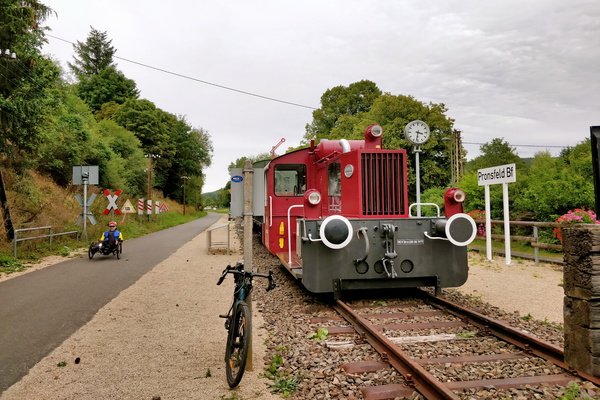
Pronsfeld Bahnhof
-
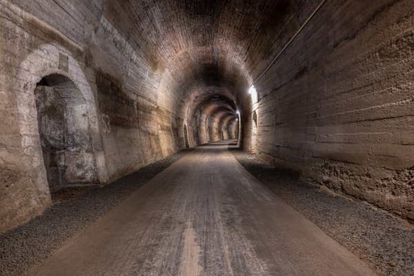
Tunnel on Eifel-Ardennes cycle route
-
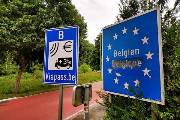
Belgium border near St. Vith
-
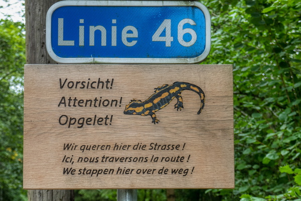
Watch for salamanders
-
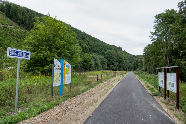
Our valley in Burg-Reuland on Vennbahn
-
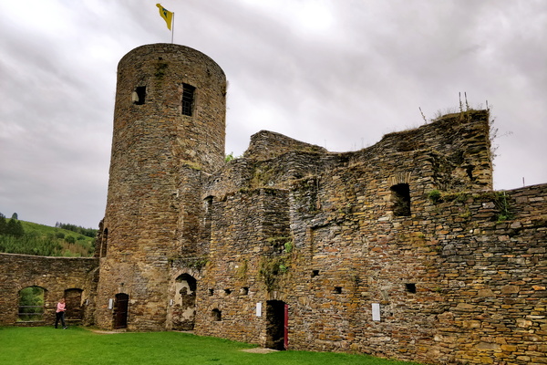
Burg-Reuland castle
-
I should arrive home today

-
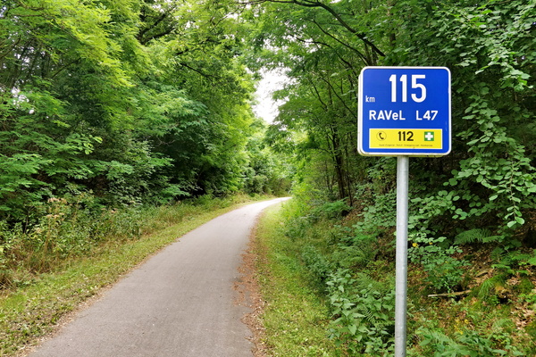
115 km left to Aachen on Vennbahn
-
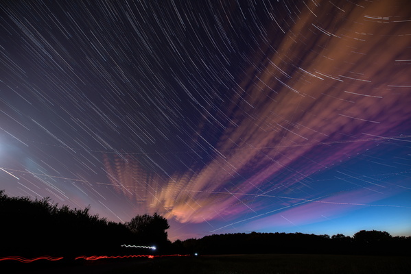
Night sky long exposure
-
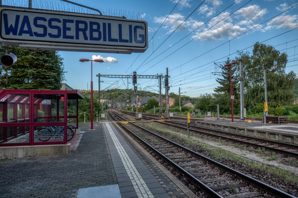
Wasserbillig train platform
-
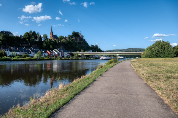
Saarburg
-
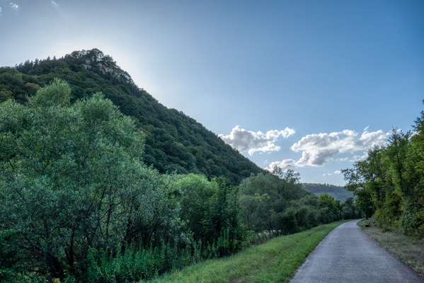
Below Oppidum Kastel-Staadt
-
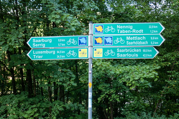
Still a way to go...
-
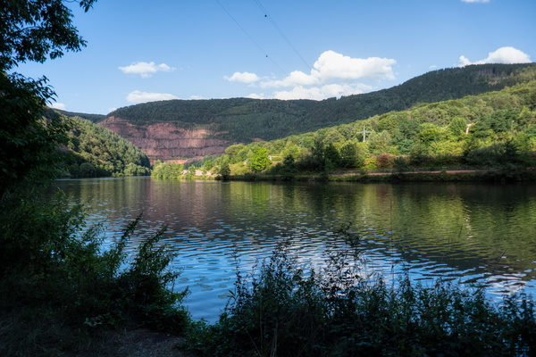
Saar river
-
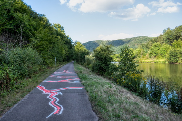
The Saar valley
-
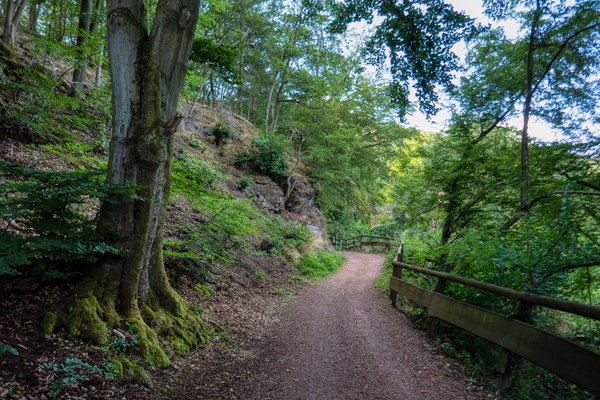
Saarland-Radweg near Mettlach
-
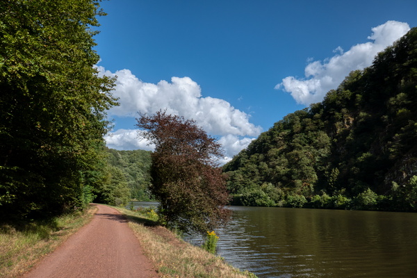
The Saar river near Mettlach
-
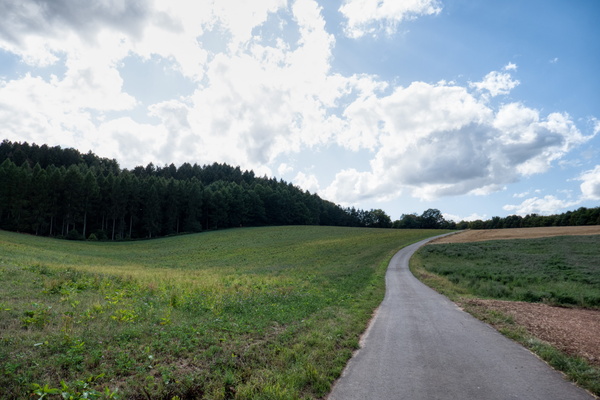
Quiet road near Merzig
-
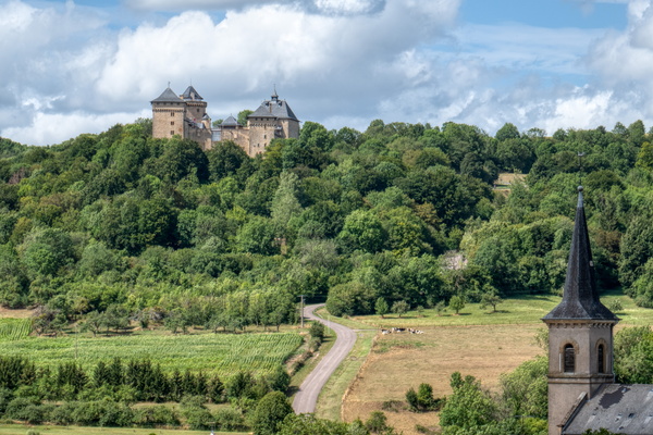
Château de Malbrouck
-
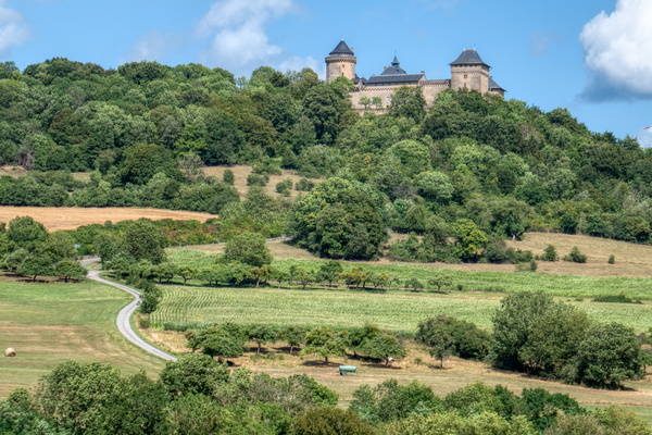
Château de Malbrouck
-
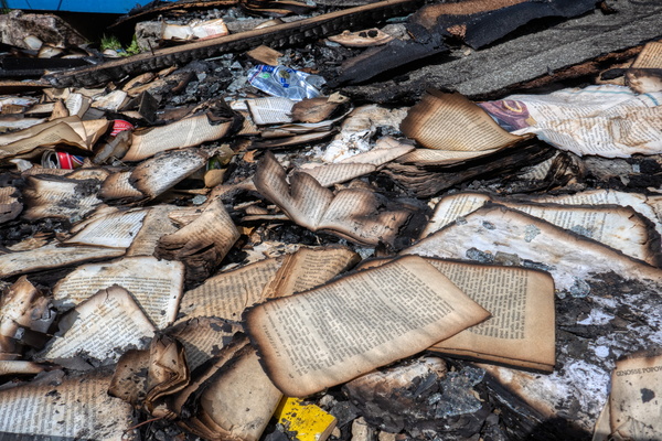
Fahrenheit 451 wasn't fiction
-
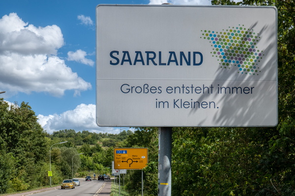
Saarland: little streams make big rivers
-
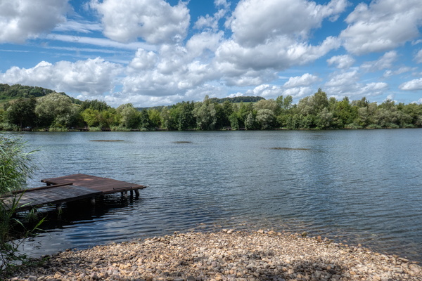
Remerschen lake
-
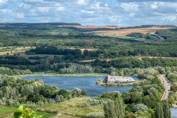
Remerschen lake from above
-
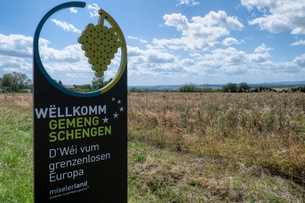
Welcome to Schengen
-
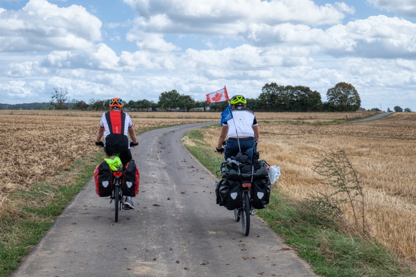
Two heavy bikes in the wind
-
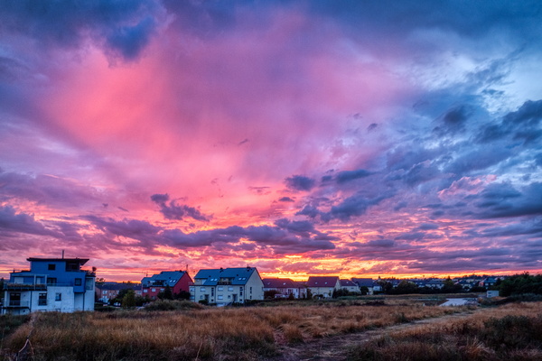
Sunset in Strassen
-
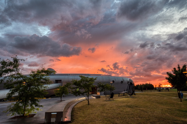
Sunset at "Les Thermes"
-
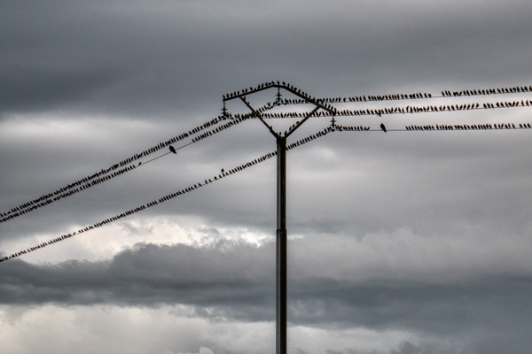
Bird in line
-
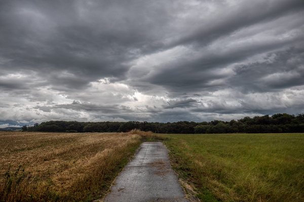
A few minutes after the storm
-
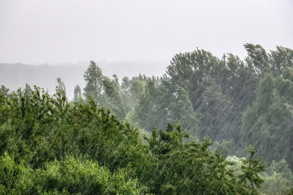
Rain
-
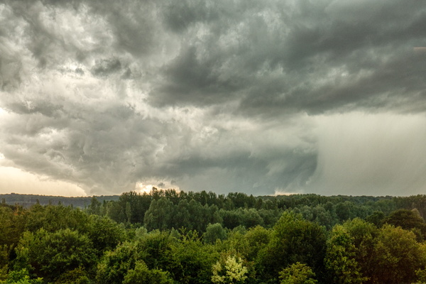
A thunderstorm, and a tornado forming
-
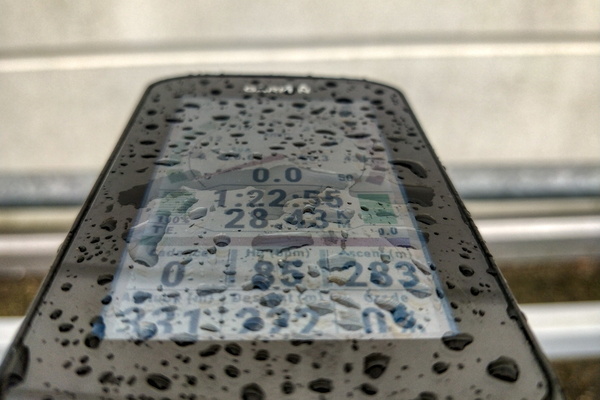
A rain shower
-
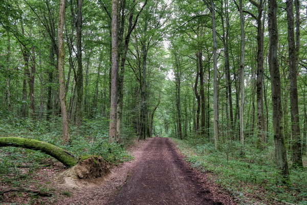
Nature Trail Enneschte Bësch
-
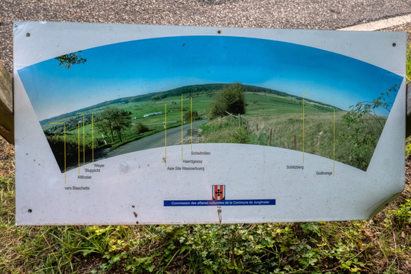
At the viewpoint
-
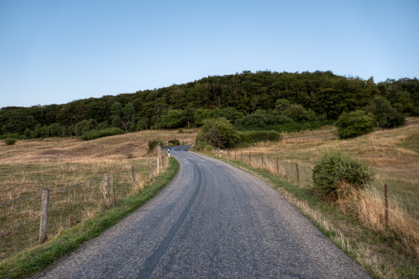
Climb near Junglinster
-
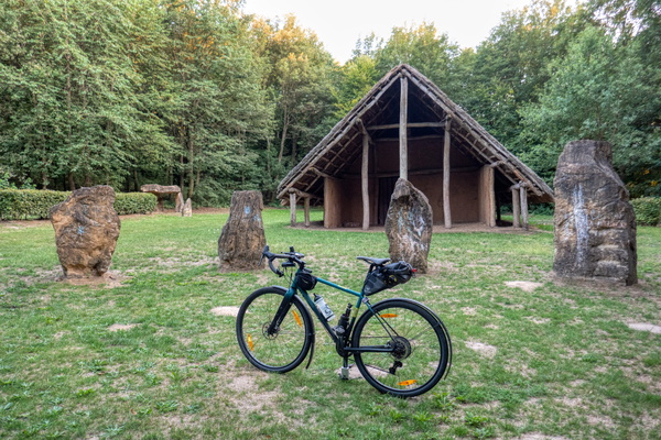
Maison Néolithique
-
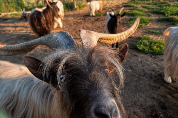
What are you looking at? Me?
-
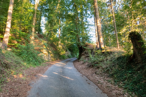
Climb out of Lintgen
-
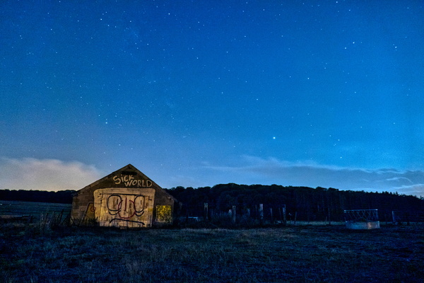
The barn
-
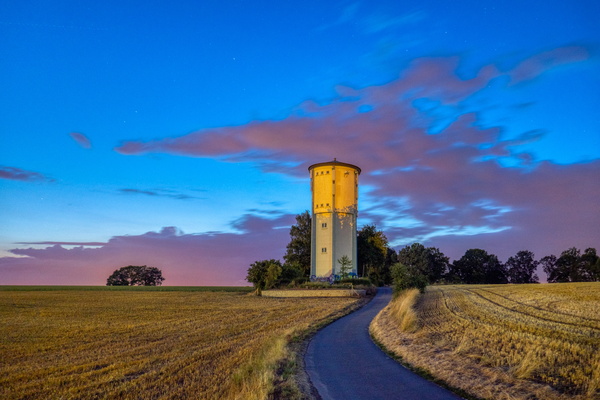
Kleinbettingen water tower
-
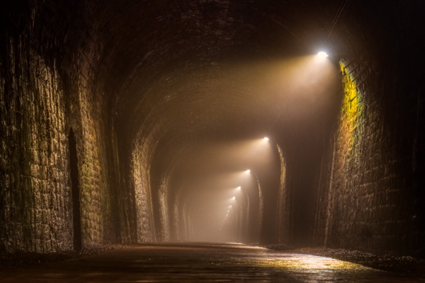
Misty Hobscheid tunnel
-
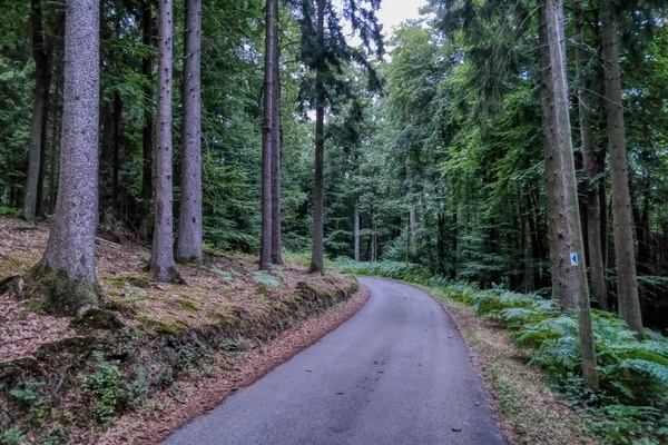
In the forest near Beckerich
-
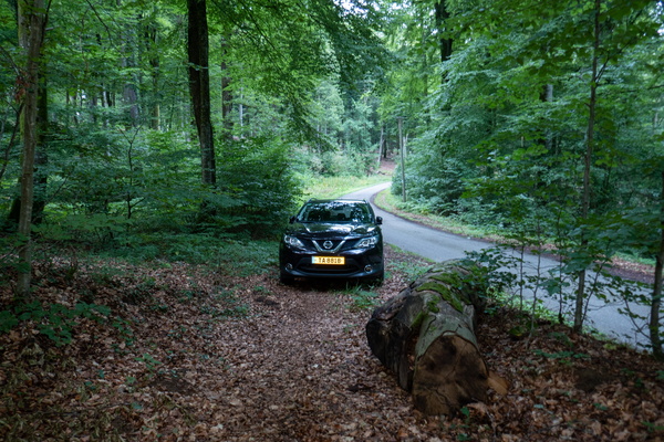
Car just blocking the exit of the path
-
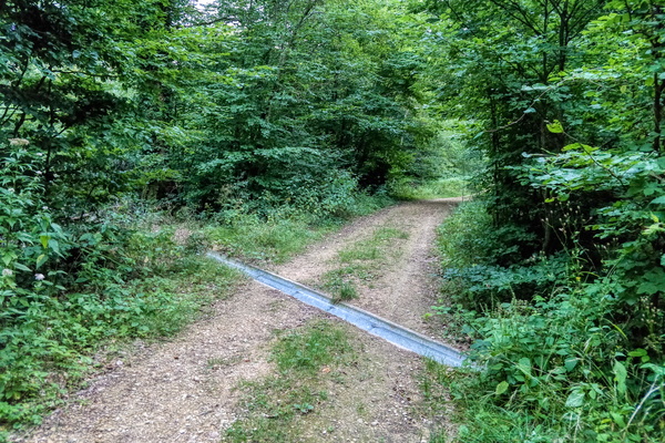
Forest track
-
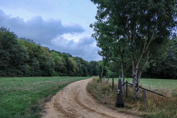
Belgium/Luxembourg border
-
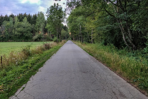
Between Heckbous and Guirsch
-
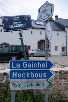
Sign in Guirsch
-
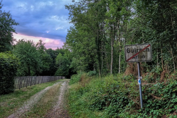
Exiting Guirsch
-
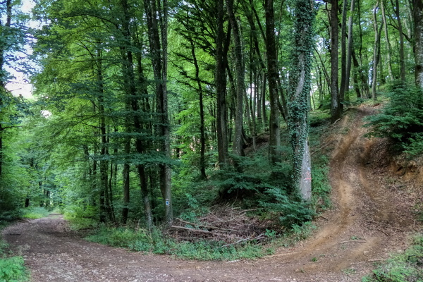
Climb
-
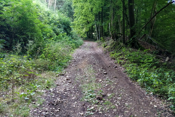
Unpaved track between Beckerich and Guirsch
-
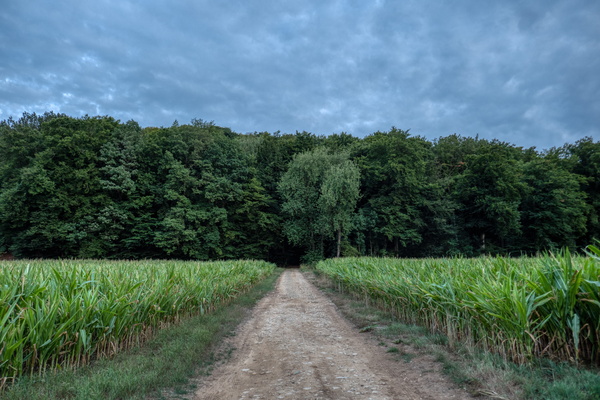
Unpaved track between Beckerich and Guirsch
-
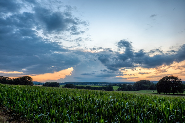
Another storm is coming
-
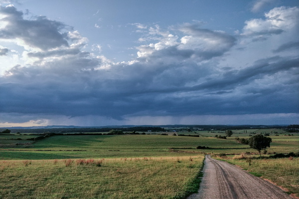
Storm ahead
-
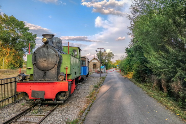
Niederpallen former train station
-
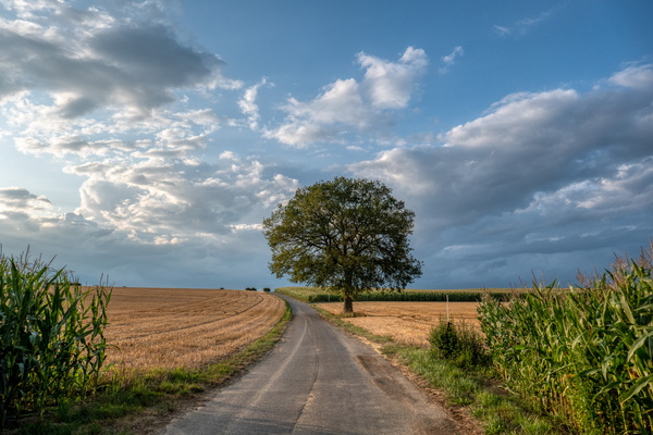
Tree in the fields
-
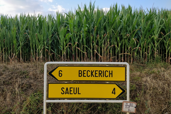
Where to avoid the corn
-
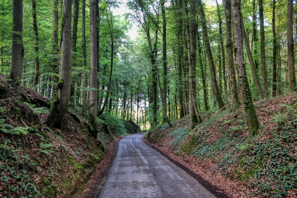
Down the forest
-
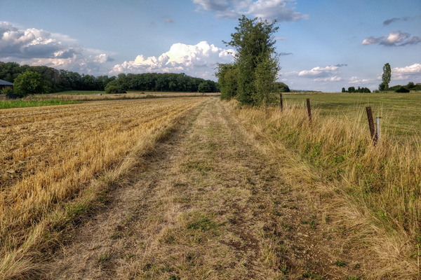
Unpaved track in Nospelt
-
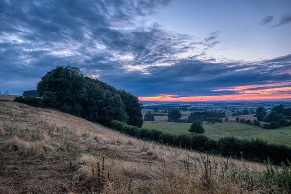
Dusk near Hivange
-
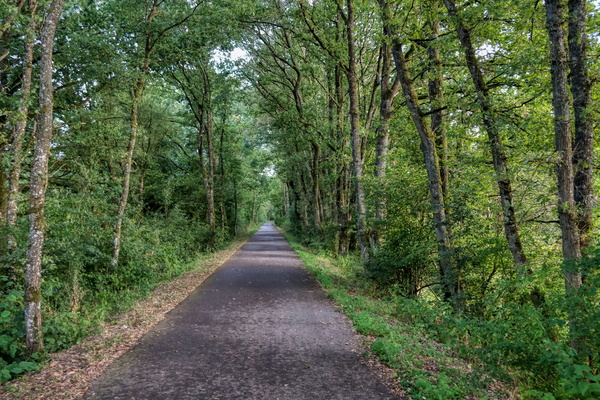
Cycleway on former railroad near Hautcharage
-
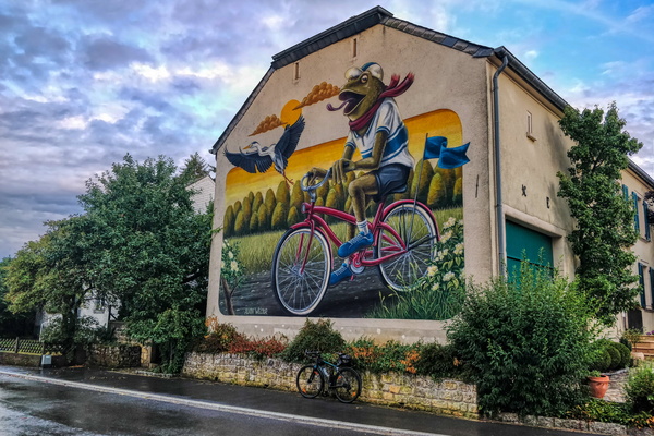
Make Koler Kooler
-
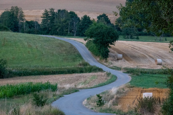
Curvy asphalt track
-
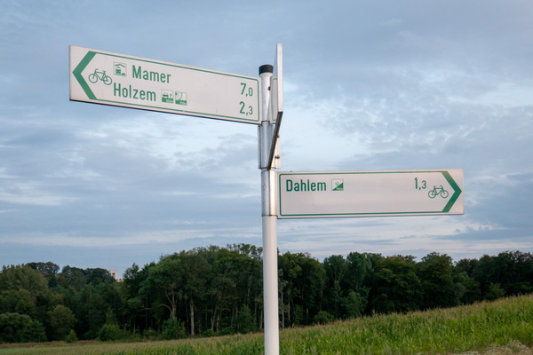
Cycling directions near Dahlem
-
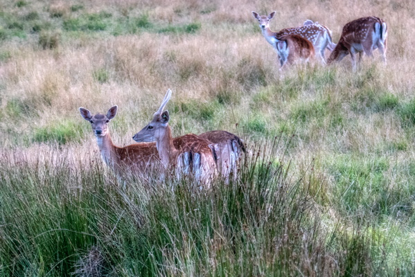
Deers
-
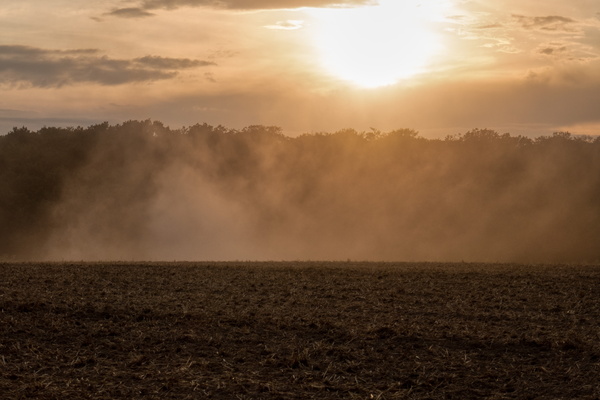
Dust
-
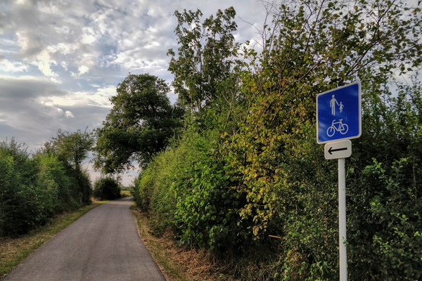
New sign in Kehlen
-
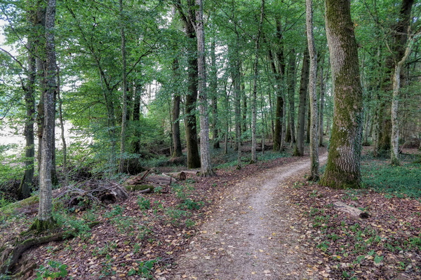
Path to Kehlen
-
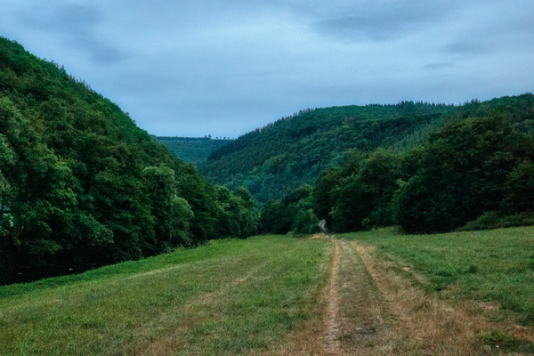
Track near Goebelsmühle
-
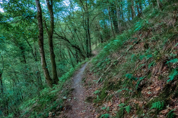
Sentier de la Wiltz between Kautenbach and Goebelsmühle
-
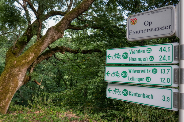
PC 20 near Merkholtz
-
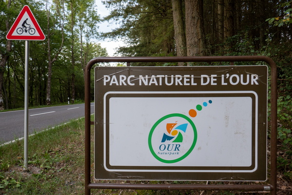
Our Natural Park
-
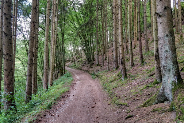
Track near Wiltz
-
Upper-Sûre Natural Park
-
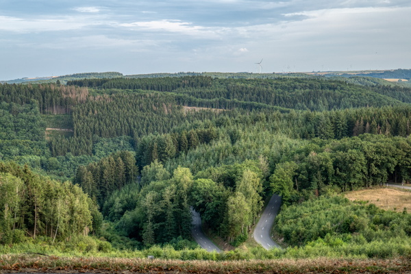
View from Knaphoscheid
-
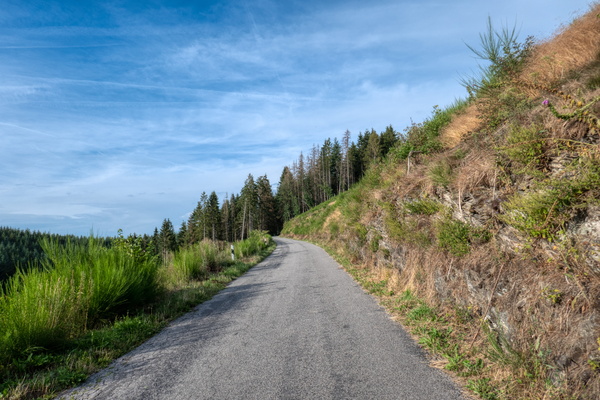
Road near Boevange
-
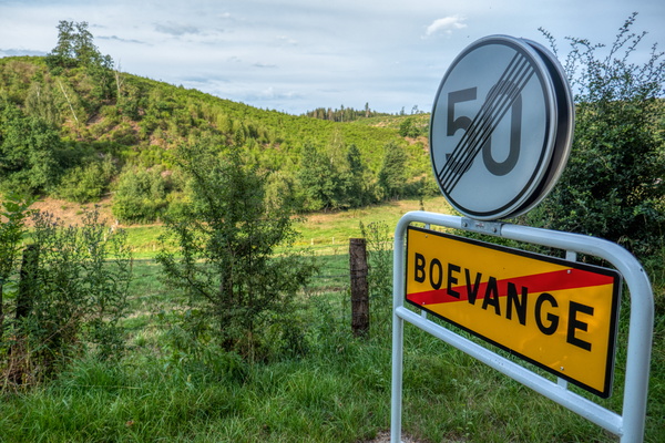
Boevange: the coldest village in Luxembourg?
-
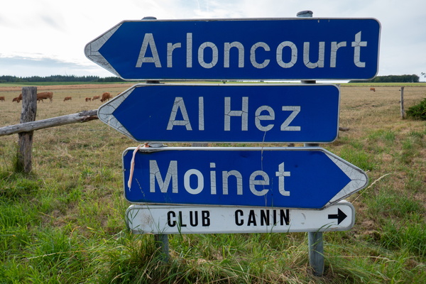
Localities in Belgium
-
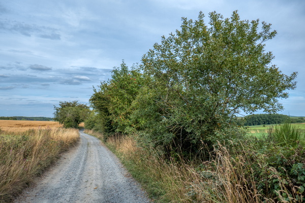
Gravel track near Bastogne
-
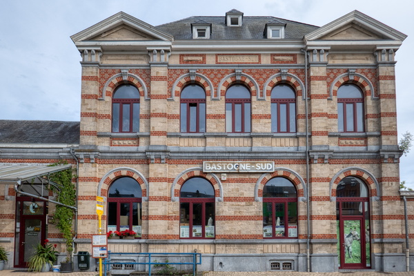
Bastogne-South former train station
-
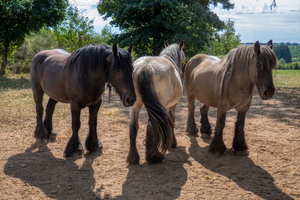
Ardennes horses
-
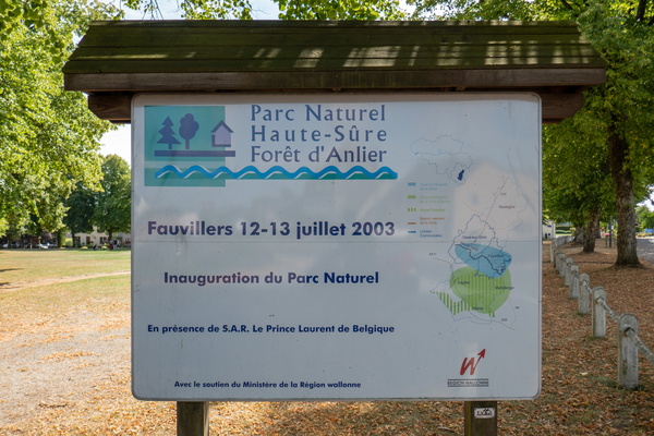
Parc Naturel Haute-Sûre Forêt d'Anlier
-
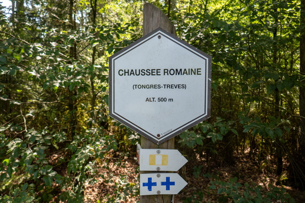
Chaussée Romaine in Forêt d'Anlier
-
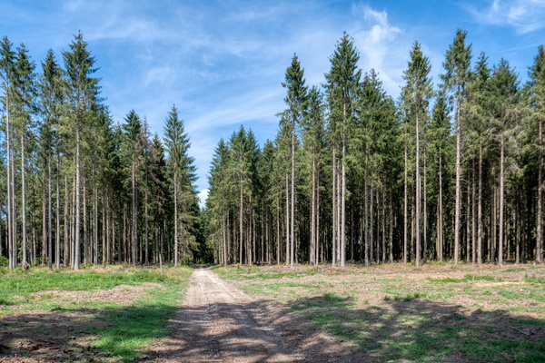
Track in Forêt d'Anlier
-
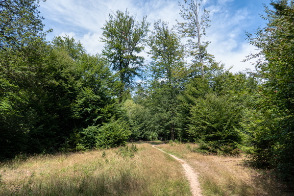
Path in Forêt d'Anlier
-
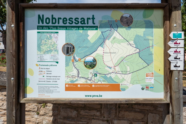
Hiking map in Nobressart
-
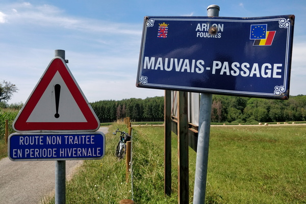
Mauvais-Passage
-
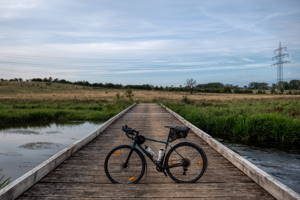
Dumontshaff Nature Reserve near Schifflange
-
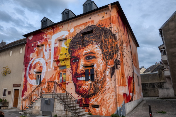
Mural on house in Schifflange and bike on the next one
-
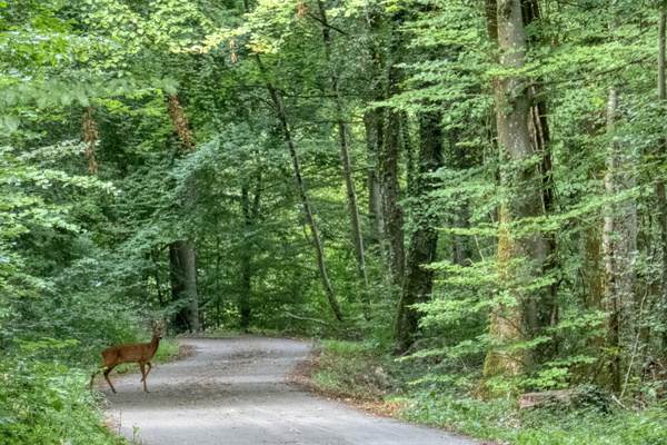
Oh deer!
-
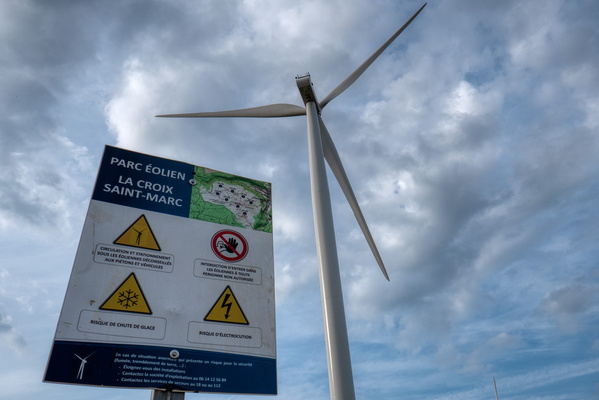
Windmills at La Croix Saint-Marc
-
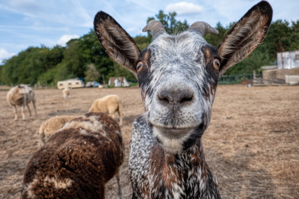
Cheered by the animals
-
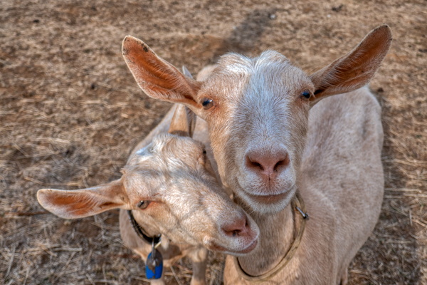
Cheered by the animals
-
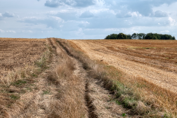
Former GR 5 track
-
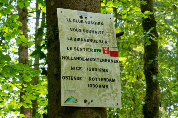
GR 5 welcome sign
-
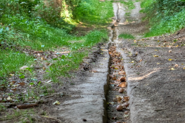
Sentier du Sud 2 near Rumelange
-
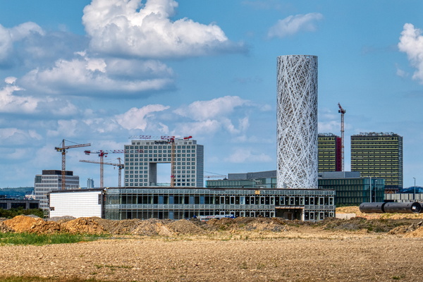
Cloche d'Or
-
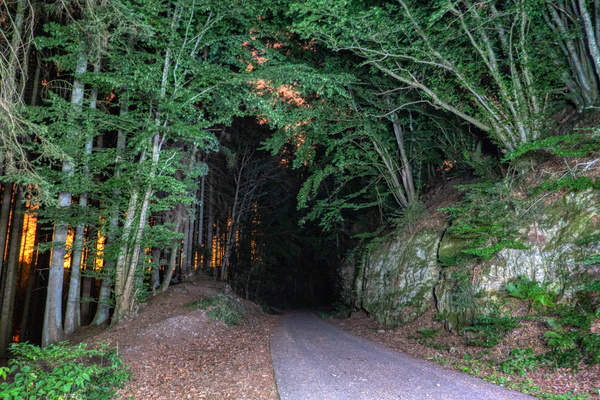
Traditional photo stop near Eischen (night version)
-
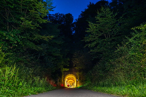
Hobscheid tunnel
-
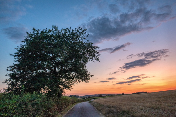
Sunset near Useldange
-
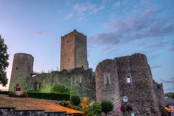
Useldange Castle
-
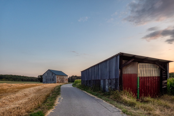
Piste cyclable de l'Attert between Bissen and Boevange/Attert
-
Demolition in progress in Mersch

-
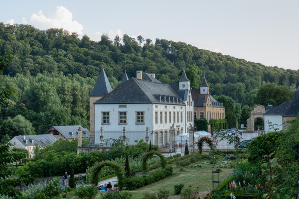
New Castle of Ansembourg
-
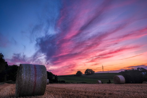
Just after sunset in Roedgen
-
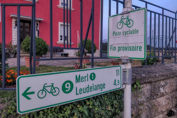
Temporary end...
-
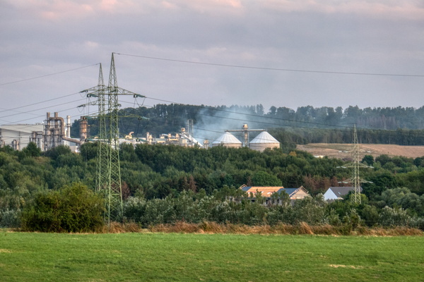
Fire in Sanem
-
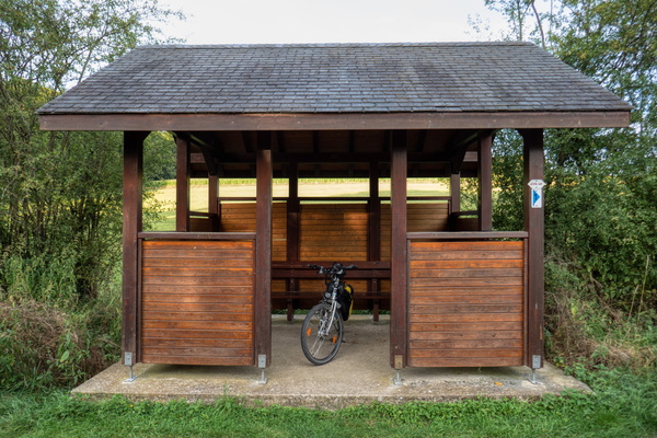
Shelter near Clemency
-
Who let the cows out? Moo moo moo moo!!
