-
Clouds near Surré

-
Clouds near Surré
-
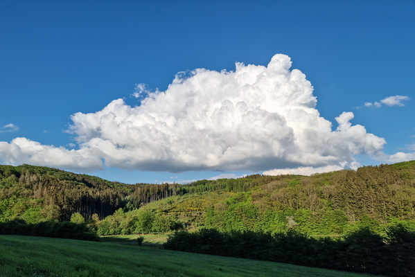
Cloud above Parc-Hosingen seen from Tarchamps

-
Clouds

-
Clouds

-
Thick clouds

-
Thunderstorm when at the top of the cliff

-
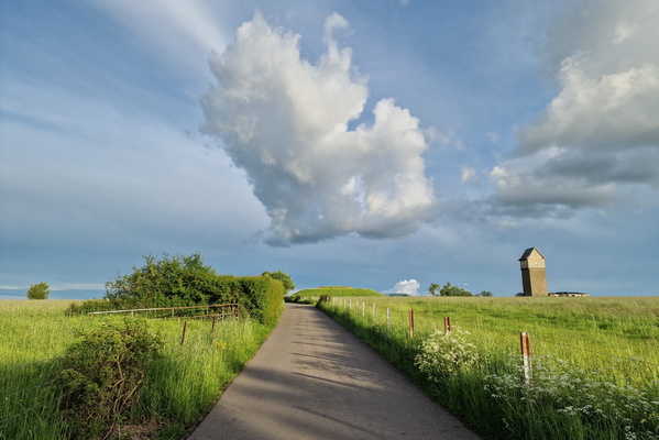
Cloud near Michelbouch
-
Thunderstorm in the city

-
Thunderstorm in the city

-
Thunderstorm in Kirchberg

-
Thunderstorm in Kirchberg
-
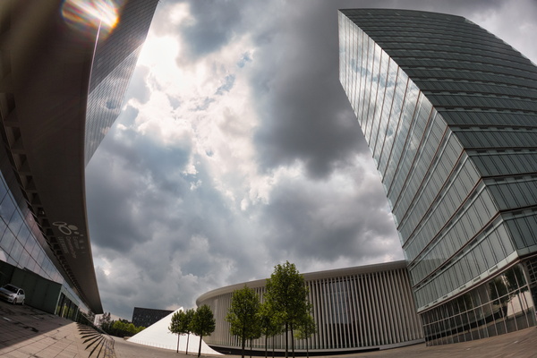
Thunderstorm in Kirchberg

-
Thunderstorm in Kirchberg
-
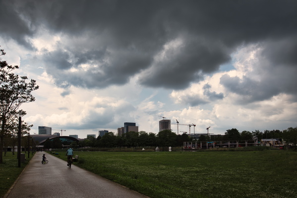
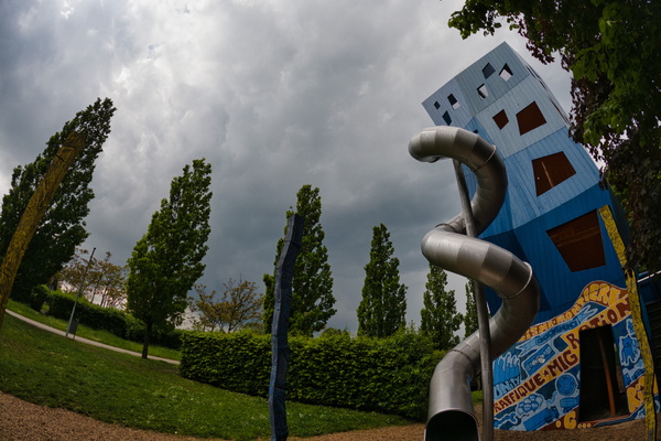
Thunderstorm in Kirchberg
-
Thunderstorm in Kirchberg

-
Thunderstorm in Kirchberg

-
Thunderstorm in Kirchberg

-
Skyline

-
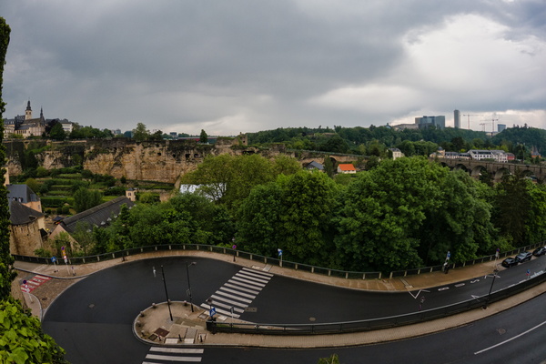
Thunderstorm in the city
-
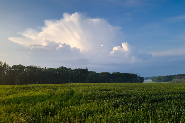
Thunderstorm above Feulen seen near Kehlen
-
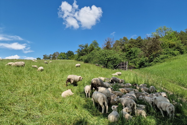
Sheep
-
Oberweis

-
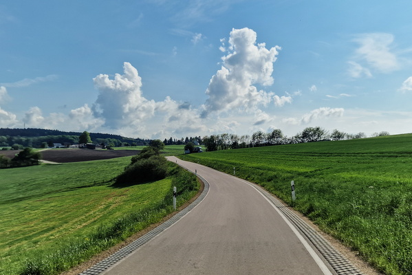
Country road in the Eifel
-
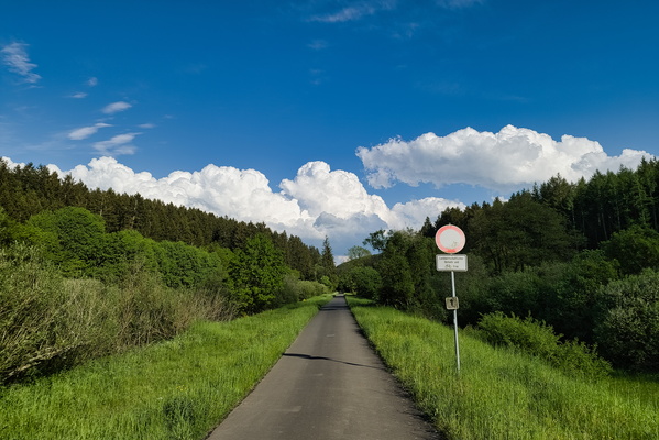
Eifel-Ardennes cycle route
-
Vennbahn at the BeLux border

-
Low clouds

-
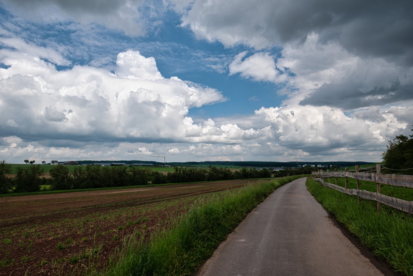
Threatening sky near Olingen
-
New and already damaged path

-
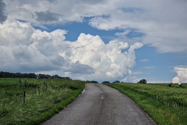
Threatening sky near Mompach
-
Autopédestre Troisvierges 1 near Sassel

-
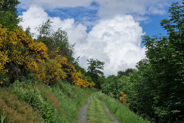
Track near Maulesmillen
-
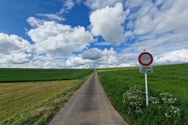
Paved track near Grindhausen
-
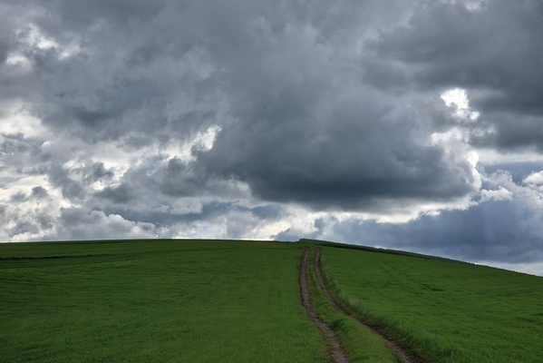
Track near Rodershausen
-
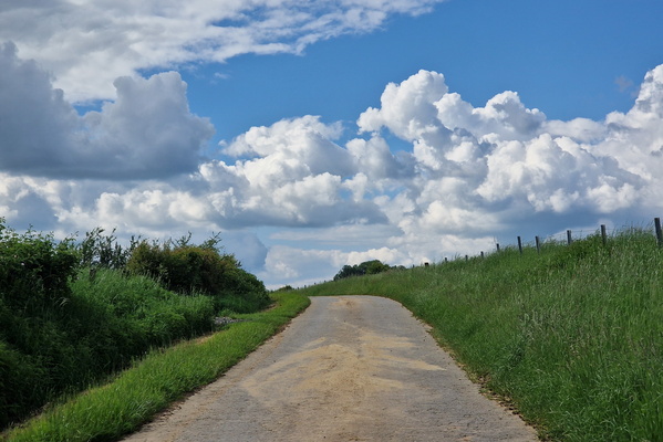
Clouds near Autelbas
-
Storm ahead

-
Close storm, but I'm next to a shelter

-
Top of Guttland.Trail information board

-
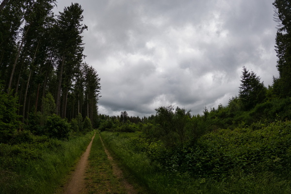
Schéiferei hiking route
-
Schéiferei hiking route

-
Threatening sky

-
Road between Beringerberg and Angelsberg

-
Road between Claushof and Marienthal

-
Cloudy sky near Schwebach

-
Slow!
