-
Mapping the dandelions: an urgent quest

-
Map? I thought this was a treasure hunt!

-
Lost? Nah, Just Geographically Challenged!

-
Map of hiking trails in Haard-Hesselsbierg-Staebierg Nature Rese

-
Mining for information

-
Rock solid information

-
Hiking map in Harlange

-
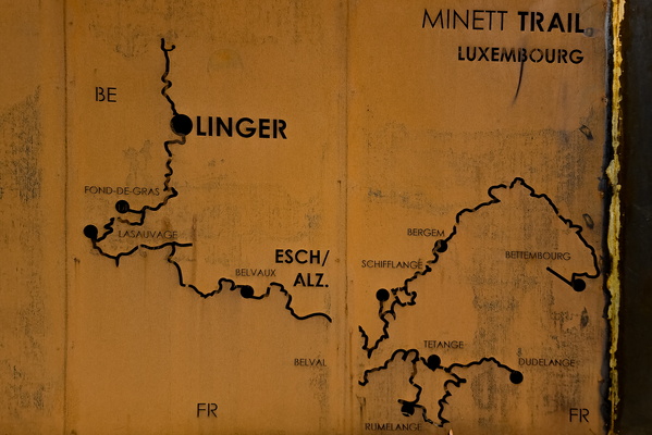
Minett Trail map in Linger
-
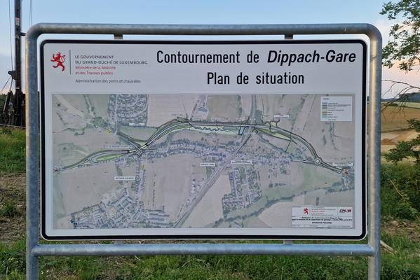
Dippach-Gare bypass construciton map
-
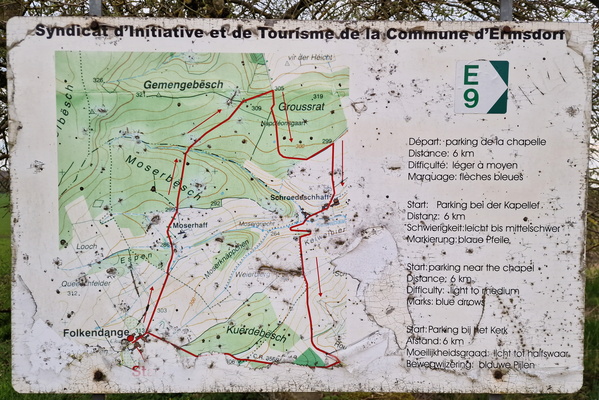
Old hiking map from a former commune
-
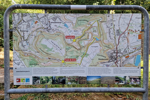
Map at Fuusbësch
-
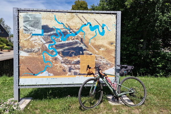
Sauer map in Bavigne
-
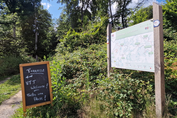
Habscht hiking routes
-
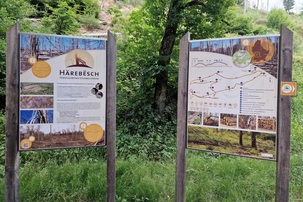
Härebësch information board
-
Welcome to Troisvierges

-
Orchid path at Déiwelskopp

-
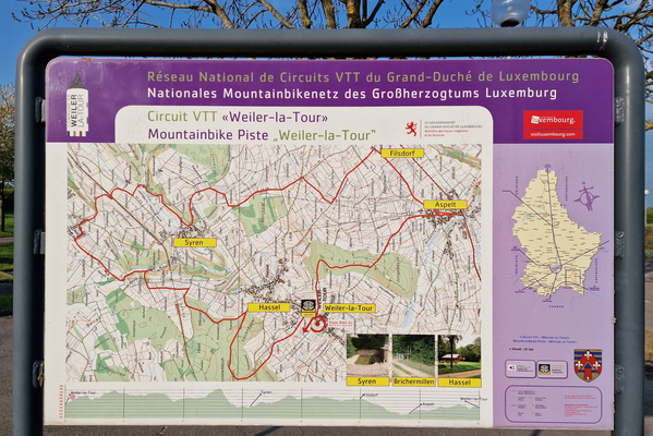
Map of Mountain Bike Piste Weiler la Tour
-
Grevenmacher MTB trail's map and information board

-
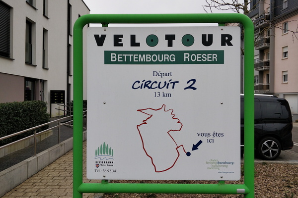
LMAO map
-
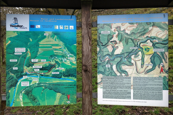
Toodlermillen information board
-
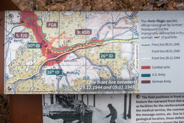
Hell at Schumanns Eck
-
Sentier de l'Alzette map

-
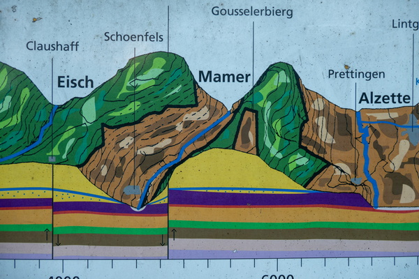
Geology information board and map
-
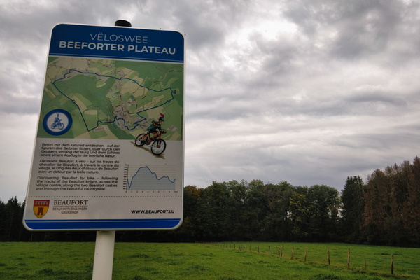
Vëloswee Beeforter Plateau
-
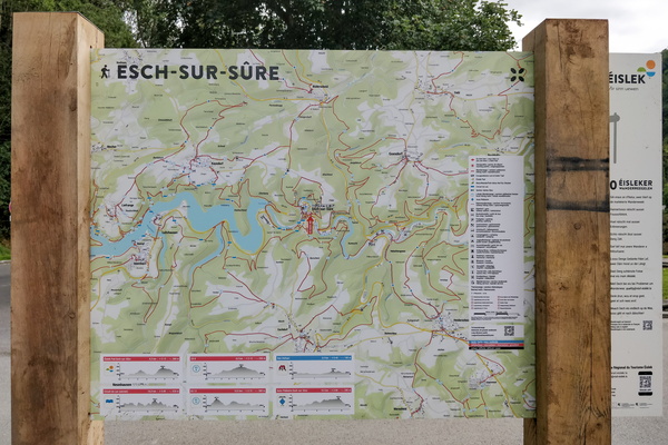
Hiking map in Esch-sur-Sûre
-
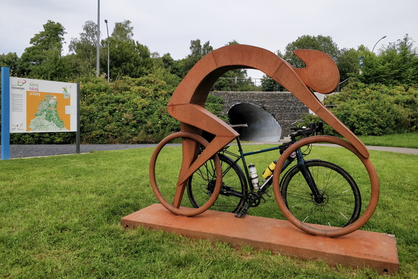
Vennbahn near Burrigplatz peak
-
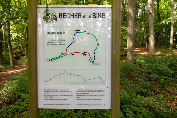
Becher mini Bike map
-
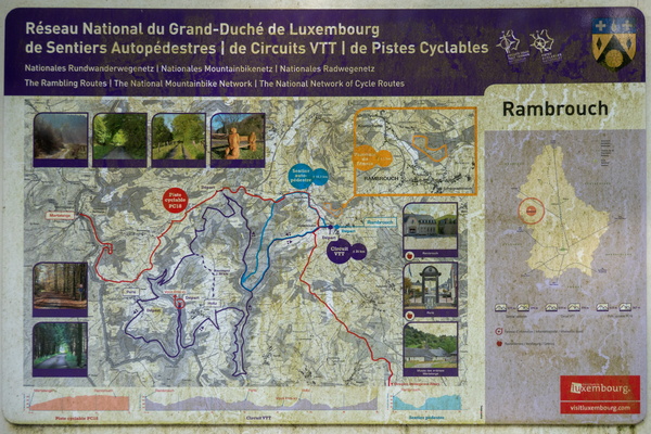
Outdoor activities map in Rambrouch
-
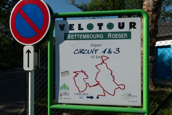
Great Velotour map
-
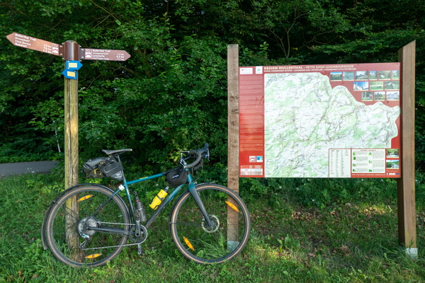
Mullerthal Trail
-
Cycling directions map at the confluence between PC 12 and PC 13

-
PC 15 diversion map

-
Regional cycling map in Guttland

-
Visit Guttland

-
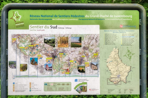
Sentier du Sud information board
-
Sentier de l'Alzette: map

-
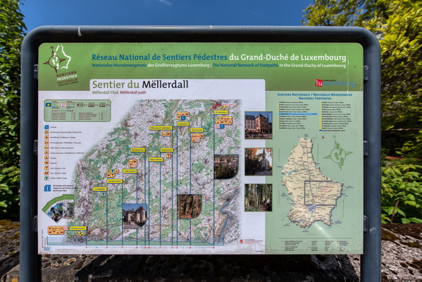
Sentier du Mëllerdall map
-
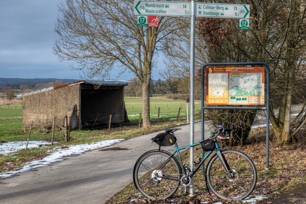
Fork between PC 12 and PC 17
-
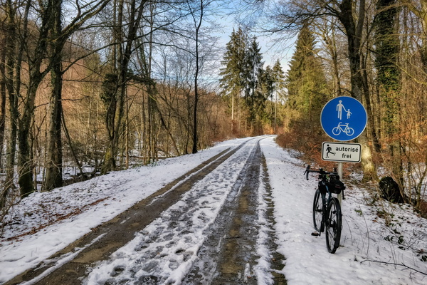
PC 12 near Hovelange
-
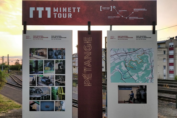
Minett Tour map/information board
-
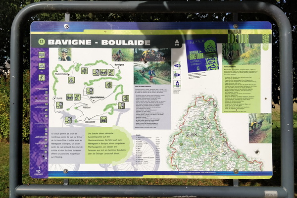
Mountain bike tour 12 map and information board
-
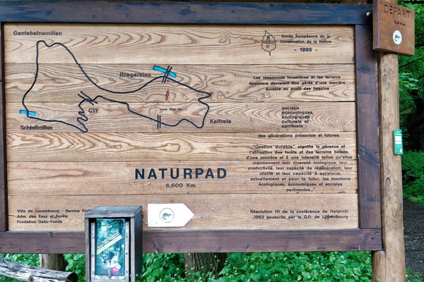
Naturpad map near Itegerstee
-
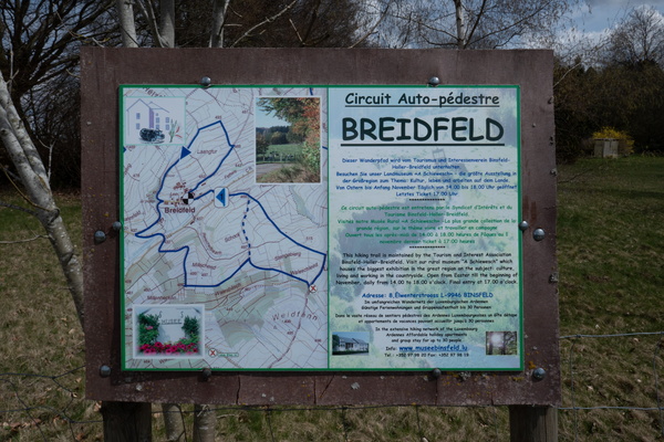
Autopédestre Breidfeld map and informatiom board
-
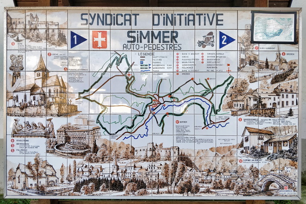
Map tiles (literally)
-
Rail + hike directions in Kautenbach
