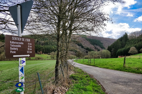
-
Insect hotel
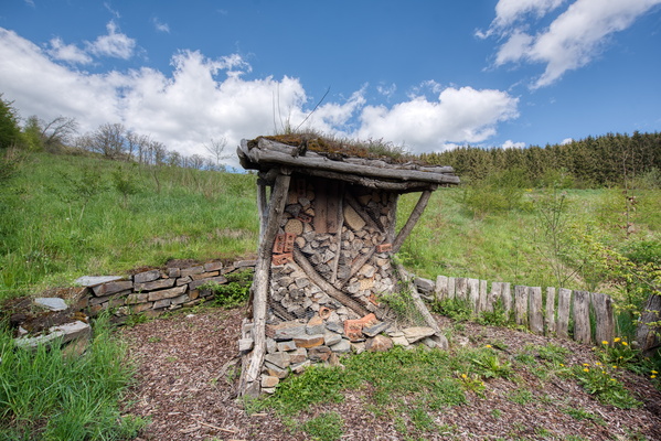
-
Vennbahn and sentier des passeurs

-
Vennbahn information board in Troisvierges
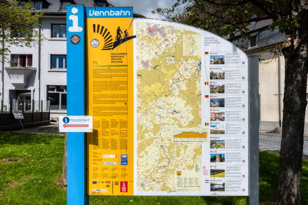
-
Inner tube vending machine
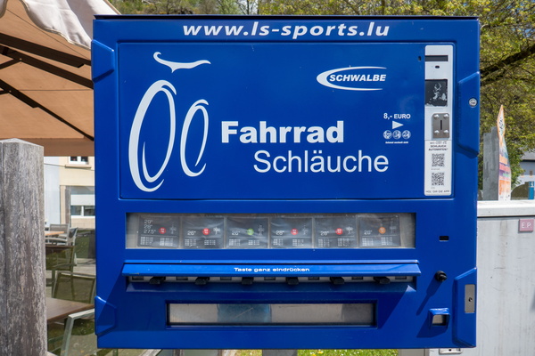
-
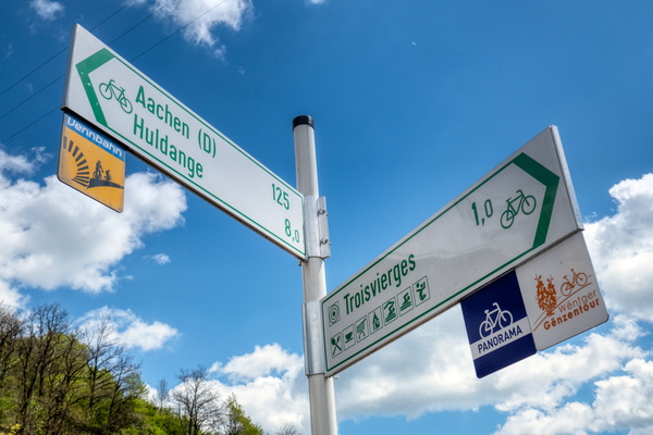
Cycling directions in Troisvierges
-
The end of the tunnel

-
Another tunnel on PC 20

-
One of the tunnels on PC 20

-
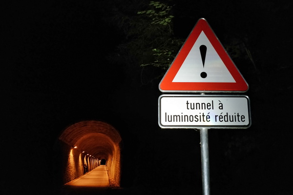
Tunnel à luminosité réduite
-
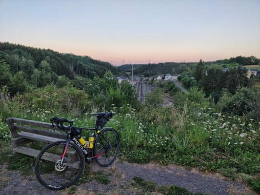
Near the end (or the beginning) of Vennbahn
-
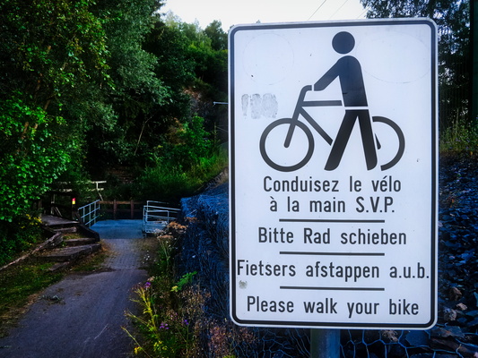
Please walk your bike
-
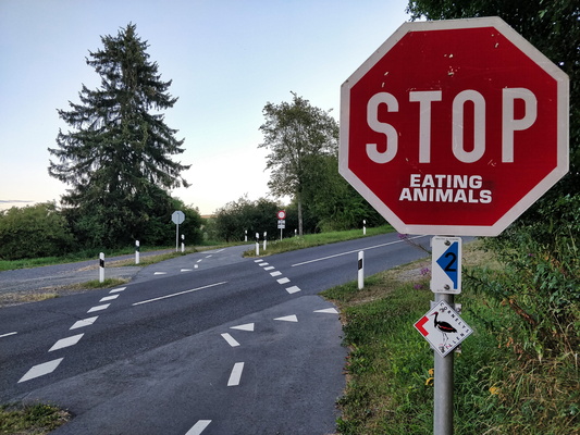
Stop eating animals
-
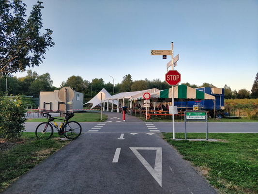
Event in Burrigplatz
-
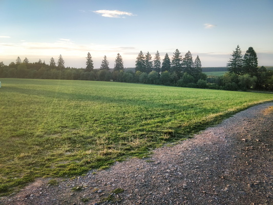
Kneiff : the highest elevation point in Luxembourg
-
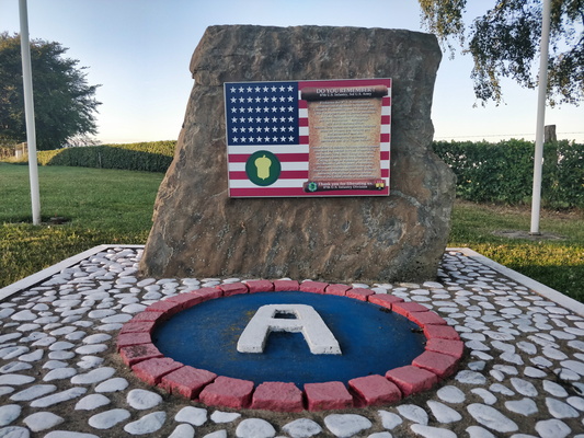
Burrigplatz
-
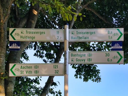
Cycling directions between Hautbellain and Huldange
-
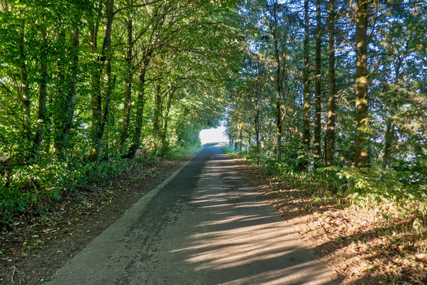
Tunnel of trees near Hautbellain
-
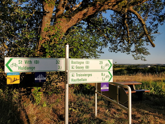
Cycling directions near Hautbellain
-
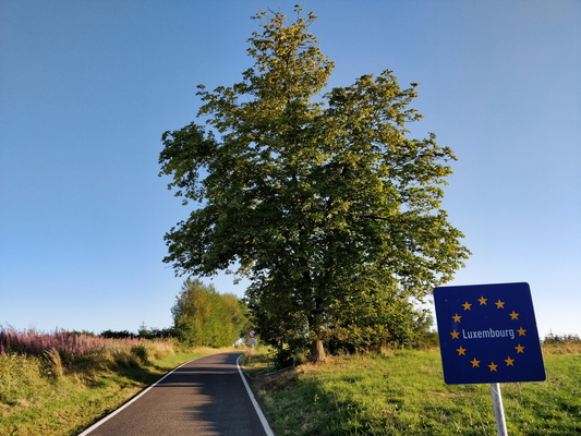
Belgium/Luxembourg border between Wattermal and Hautbellain
-
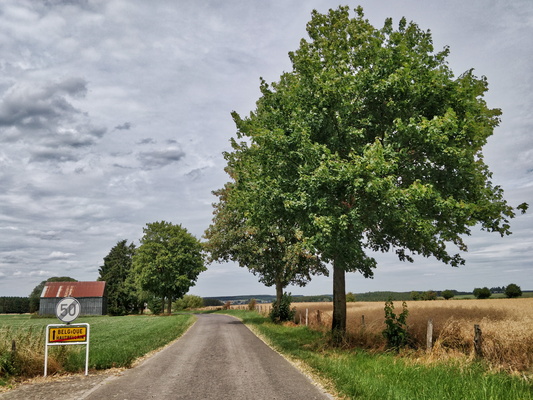
Leaving Luxembourg to Belgium in Hautbellain
-
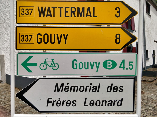
Distance to Gouvy is shorter by bike
-
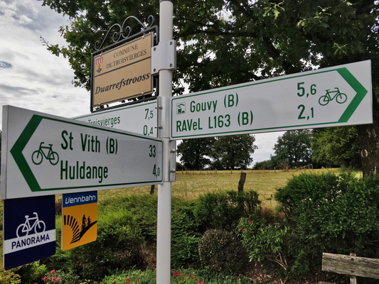
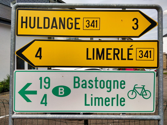
Cycling directions in Hautbellain
-
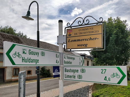
Bastogne: 27 km
-
Bastogne: 19 km
-
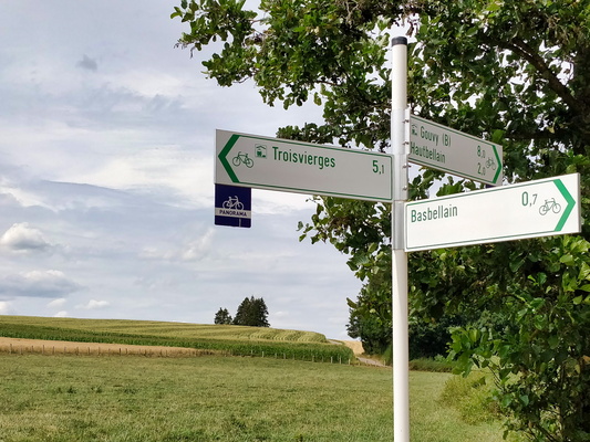
Cycling directions in Basbellain
-
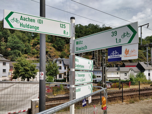
Several cycling directions form Troisvierges
-
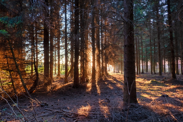
Golden hour through the woods
-
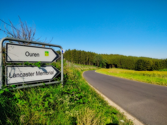
Sign to Ouren
-
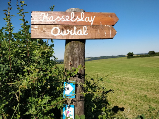
Ourtal
-
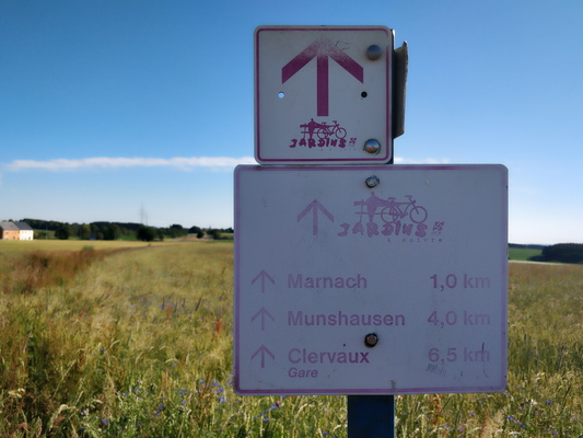
Jardins à suivre
-
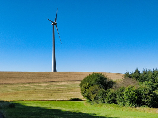
Windmill
-
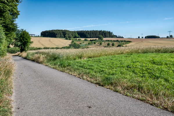
Piste cyclable des Ardennes
-
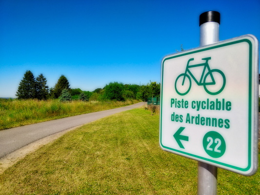
Piste cyclable des Ardennes
-
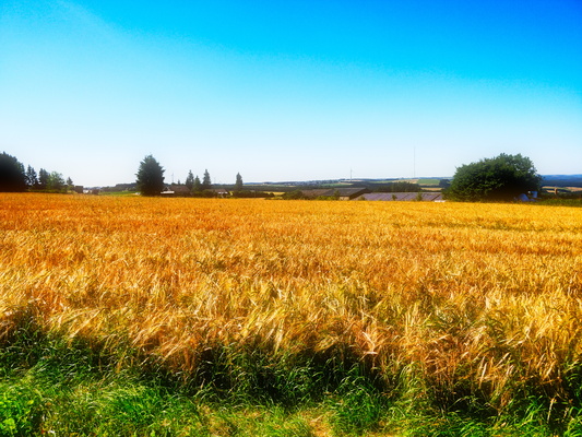
Field
-
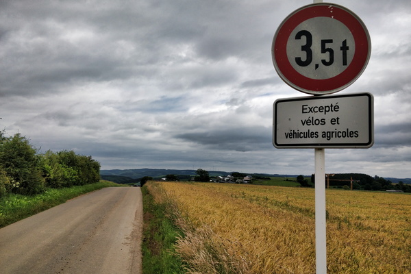
One of the privileges of riding a bike: challenge accepted
-
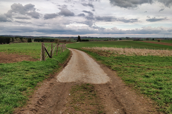
Belgium/Luxembourg border
-
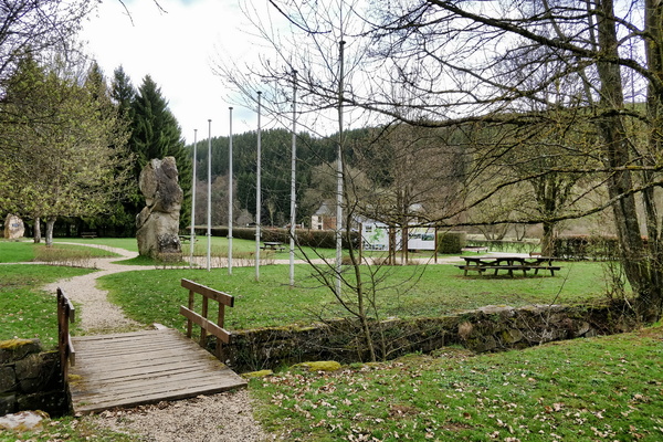
International border in Europa Monument
-
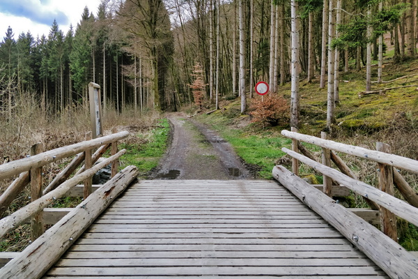
Wodden bridge in Ourtal
-
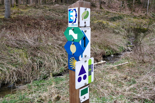
Several trails
-
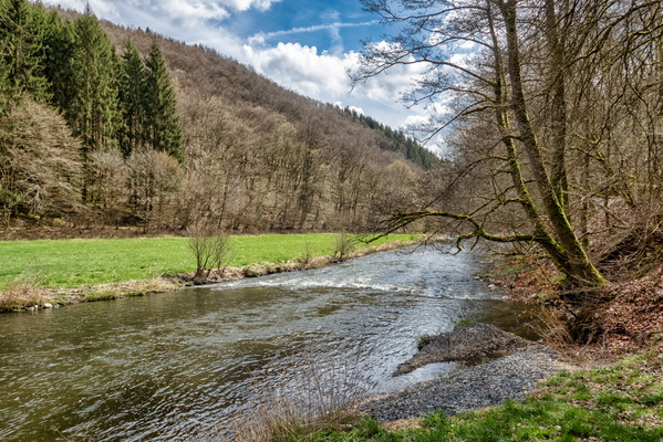
Our river
-
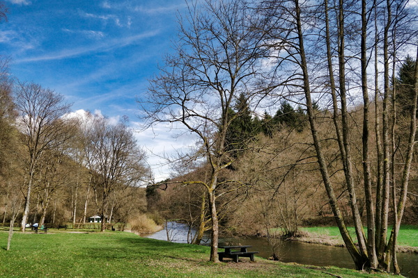
Picnic place in Ourtal
-
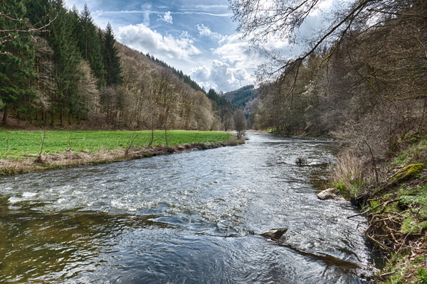
Our river
-
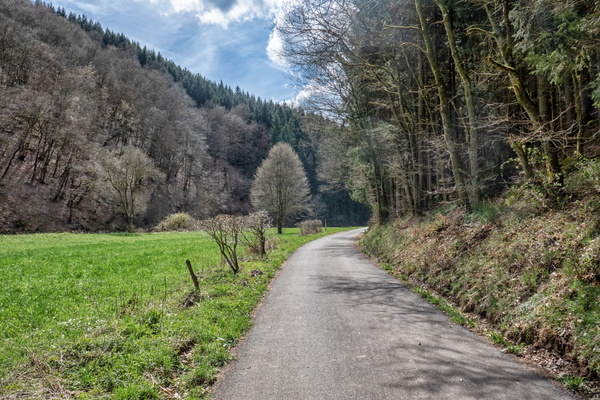
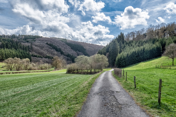
Ourtal
-
Ourtal
-
Hiking or MTB in Ourtal