-
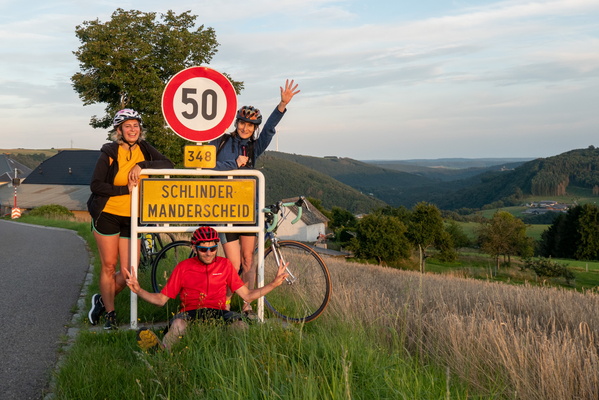
Group photo at the longest village of the country
-
Former Mins Sauertal railway line

-
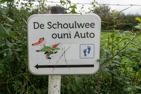
The car-free way to school in Christnach
-
Sign of the times, or just a sign?

-
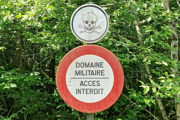
Scary sign!
-
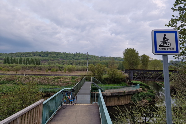
Near the France, Belgium and Luxembourg border
-
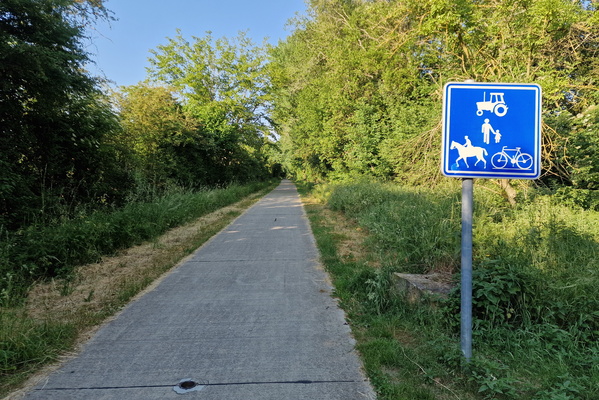
RAVeL ligne 155 near Virton
-
Germany-Luxembourg land border

-
Watch it or lose it. Thieves at work.

-
Stonehenge

-
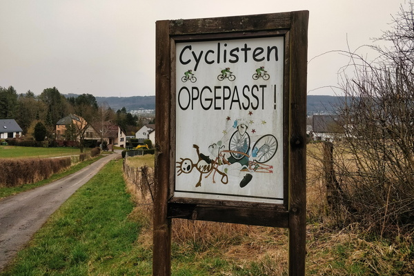
Cyclisten opgepasst!
-
First barrage of the day

-
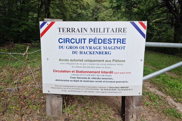
Hackenberg sign
-
Hiking and cycling directions near Leudelange

-
Rue du Joli-bois, Athus

-
Eislek Trail Segment

-
Clear Directions, Predictable Paths: a New Bike Route

-
Cycling directions near Scheidgen

-
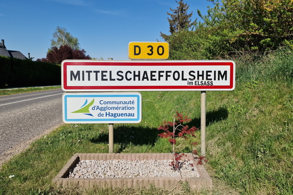
Welcome to Mittelschaeffolsheim
-
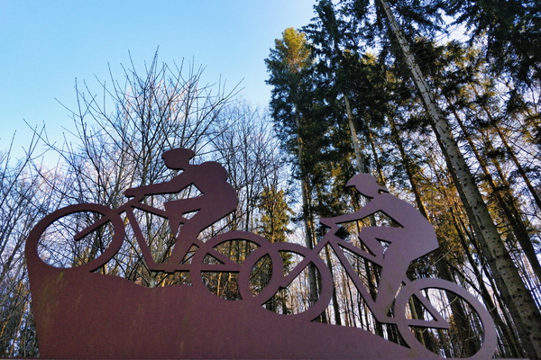
MTB Trail Grünewald
-
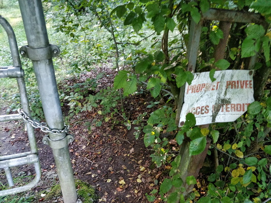
That's where I came out from
-
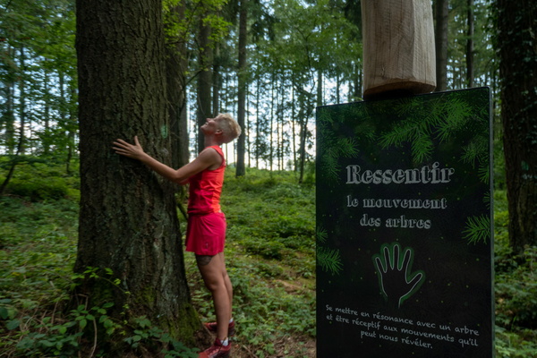
Bain de Forêt
-
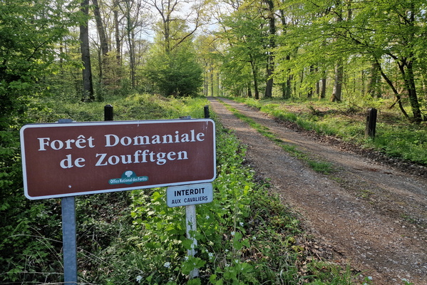
Forest track near Zoufftgen
-
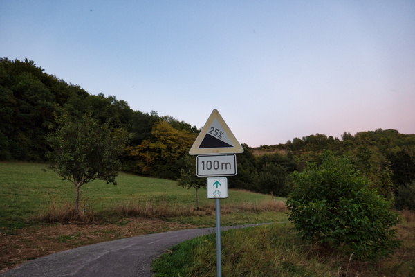
Steep but very short incline
-
Golden pathways to harvest's heart

-
Slow down for the salamanders!

-
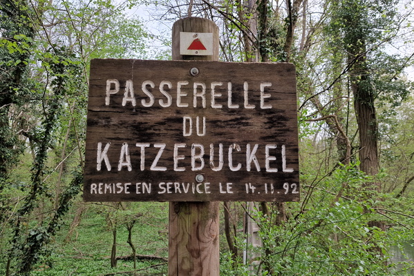
Passerelle du Katzebuckel
-
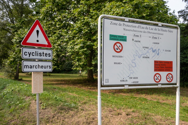
Beware the cyclists and walkers
-
Border

-
The path's red sentinel

-
Road Signs on a Leafy Holiday: Even Directions Need a Rest!

-
Get down!

-
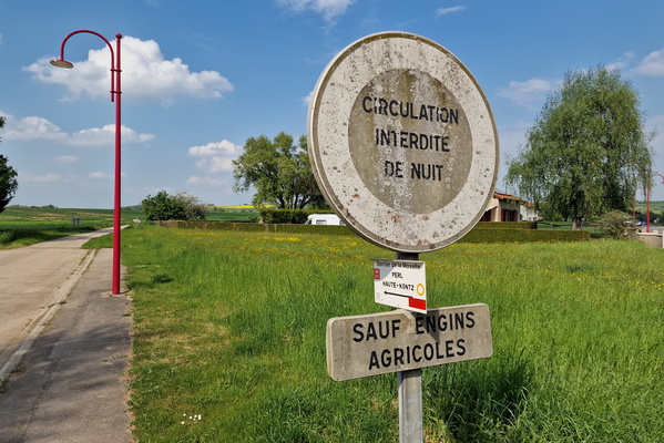
No driving at night!
-
The birdhouse of Vëlosummer

-
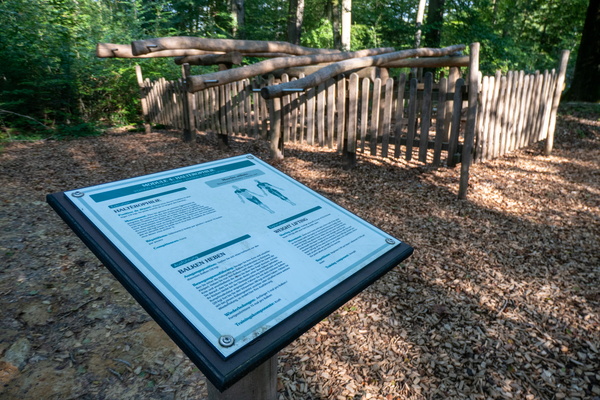
Fitness trail near Meispelt
-
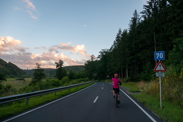
Road to Clervaux
-
Crossing the Road: Chatillon's Zebra Crossing for Cyclists!

-
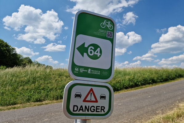
Cycling node near Etalle
-
Asparagus

-
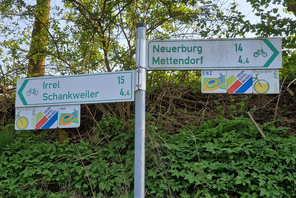
Cycling directions in Enzen
-
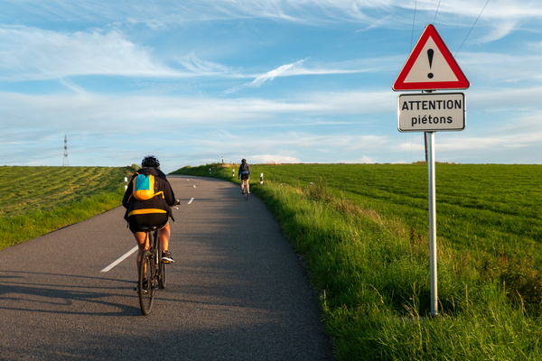
Watch for pedestrians!
-
Wooden you like to walk here?

-
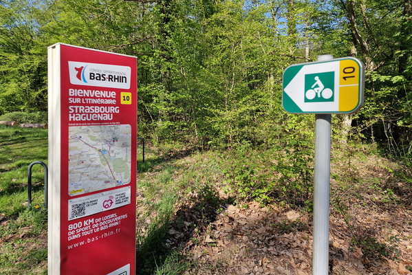
Bike route map near Brumath
-
United by Light: A Buergbrennen Gathering

-
Simultaneously in two countries