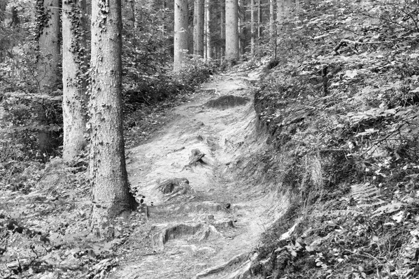
-
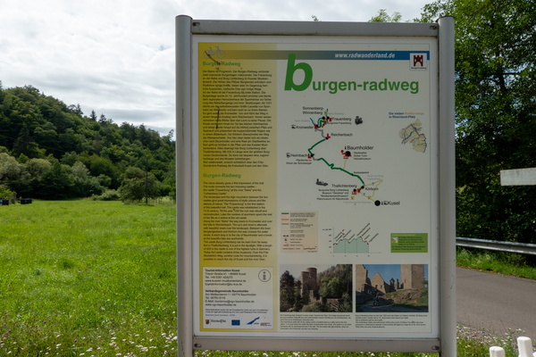
Burgegn-Radweg map and information board
-
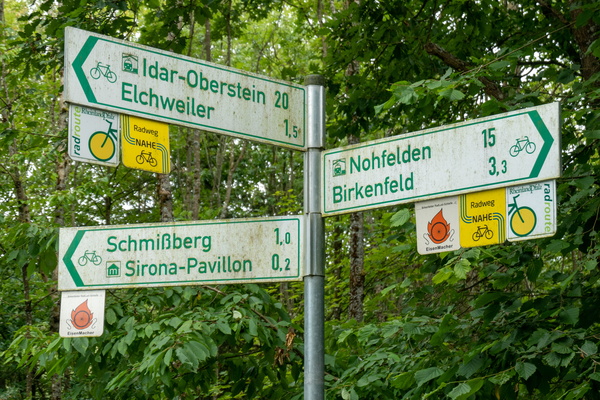
Cycling directions near Elchweiler
-
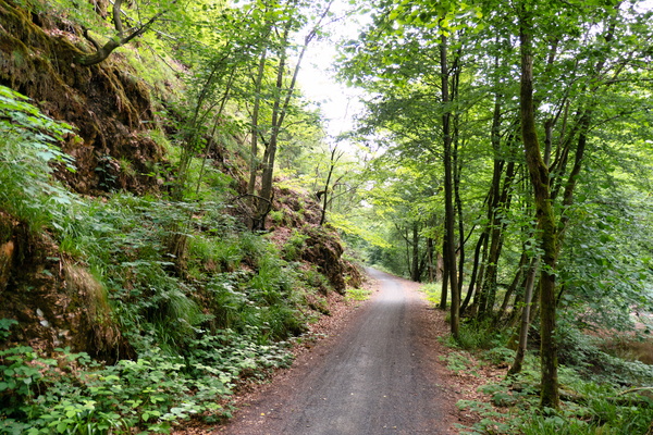
Nahe-Radweg near Nohfelden
-
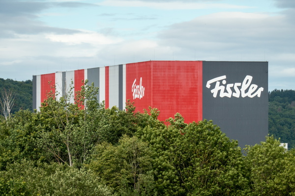
Fissler
-
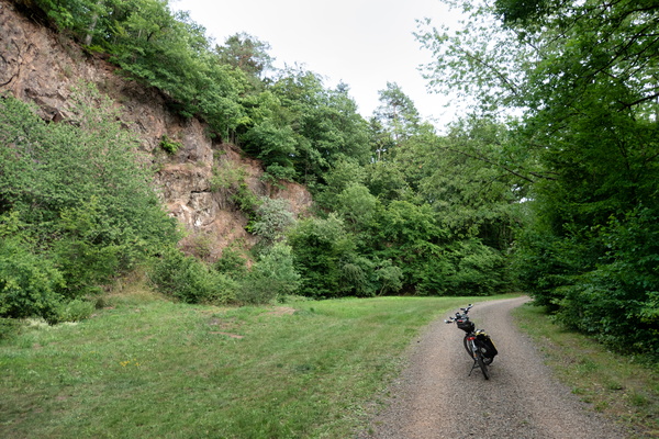
Saarland-Radweg near Freisen
-
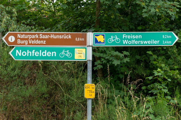
Where I left the Nahe-Radweg to join the Saarland-Radweg
-
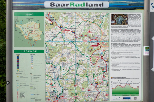
Cycling map near Freisen
-
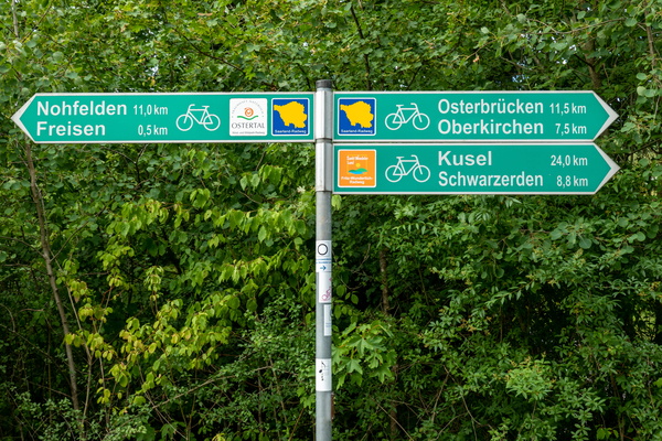
Cycling directions in Freisen
-
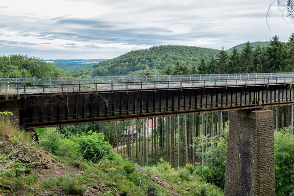
Eiserne Brücke
-
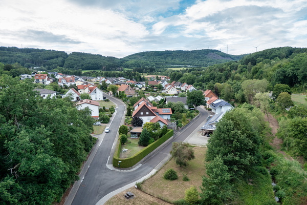
View from Talbrücke Oberkirchen
-
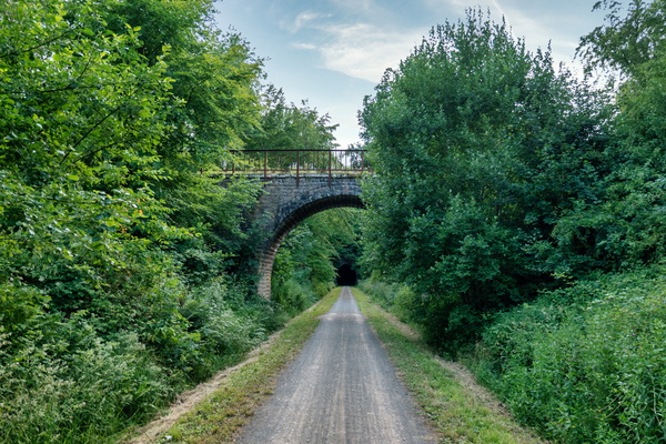
Bridge over Mithras-Radweg near Oberkirchen
-
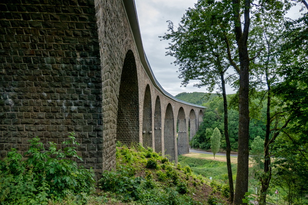
Talbrücke Oberkirchen
-
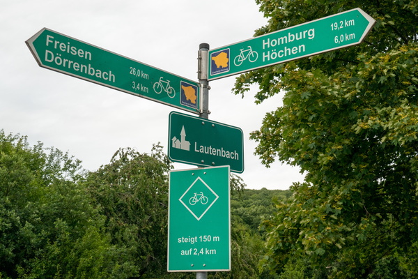
Cycling directions and climb warning in Lautenbach
-
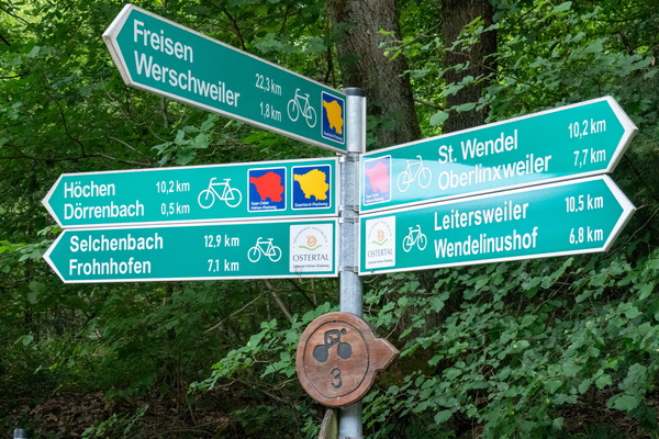
Cycling directions near Dörrenbach
-
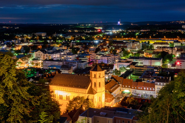
Homburg cityscape from Schlossberg
-
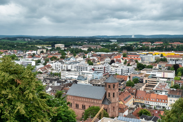
Homburg cityscape by day
-
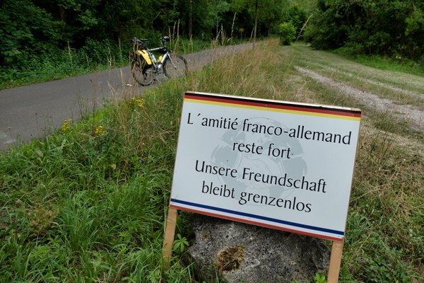
International friendship board near Herbitzheim
-
Lemonade bottle

-
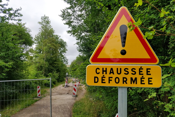
Chaussée déformée sign
-
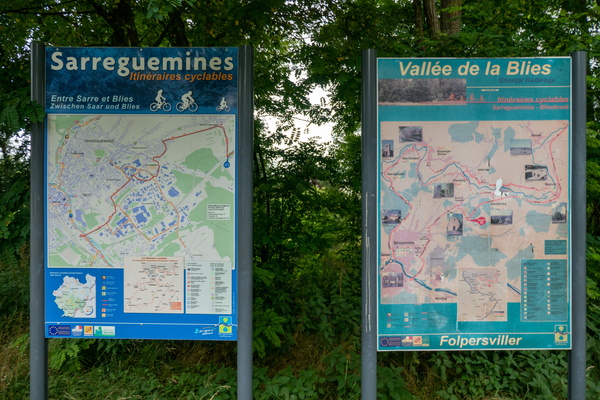
Cycling map near Sarreguemines
-
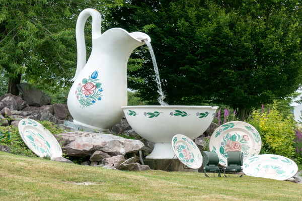
Rounabout in Sarreguemines
-
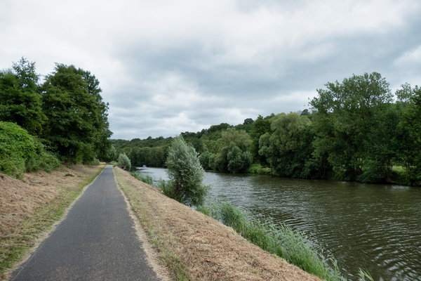
Cycleway along the Saar
-
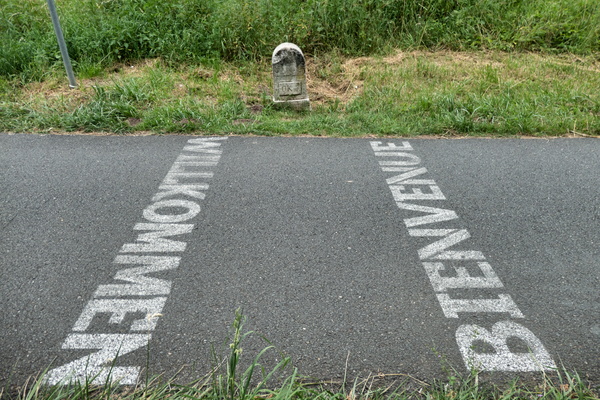
France-Germany border on the cycleway
-
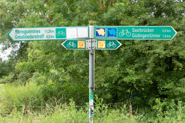
Cycling directions at the border
-
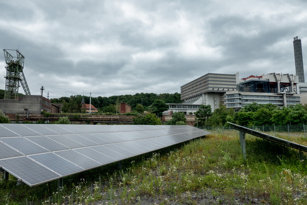
Müllverbrennungsanlage Velsen industrial area
-
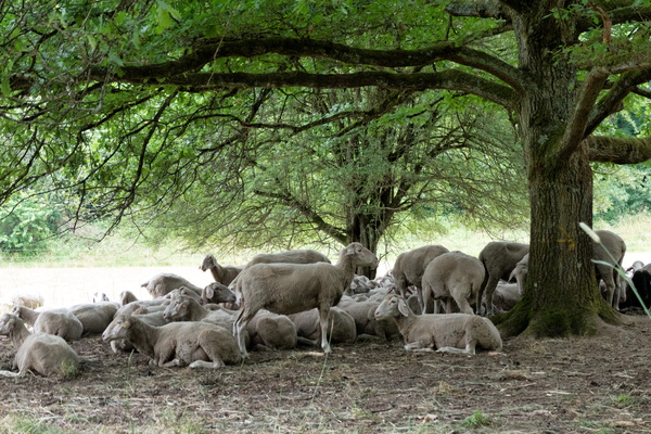
Sheep in the shade
-
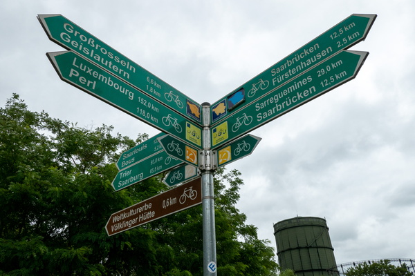
Still a way to go
-
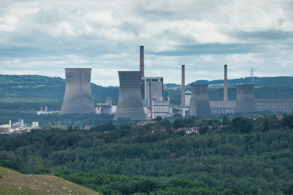
View from Plareforme panoramique carrière Barrois
-
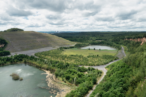
Plareforme panoramique carrière Barrois
-
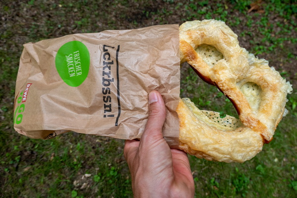
German pastry
-
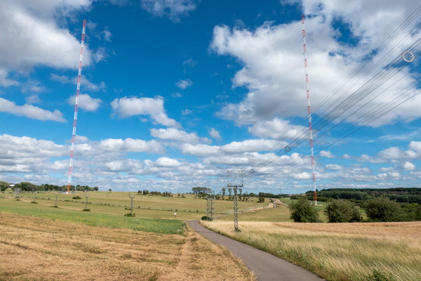
Europe 1 radio transmitter
-
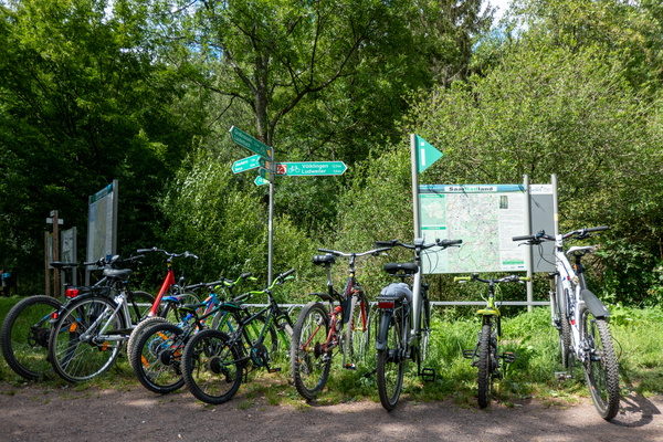
Cycling near Lauterbach, Saarland
-
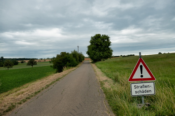
Bad pavement
-
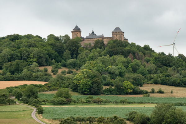
Château de Malbrouck
-
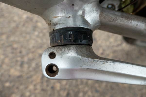
Lost a screw on the crank set
-
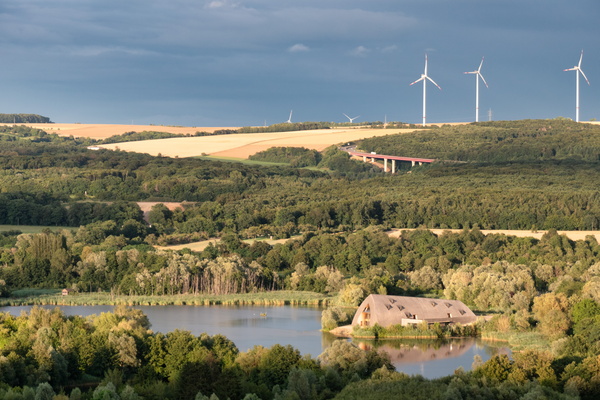
Moselle valley near Schengen
-
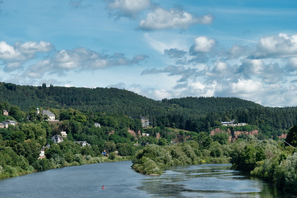
The Moselle river from Römerbrücke in Trier
-
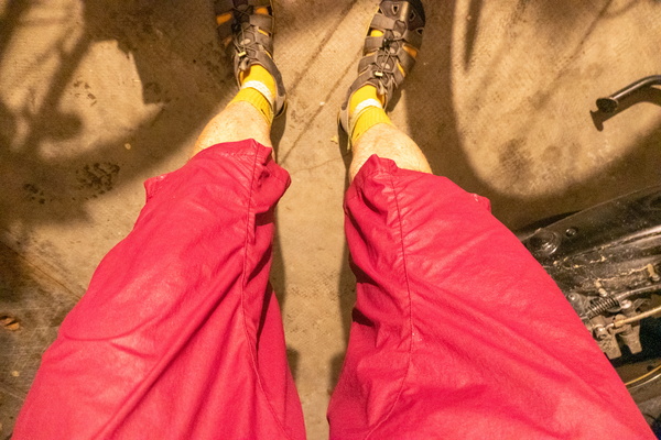
Arrived home after the shower
-
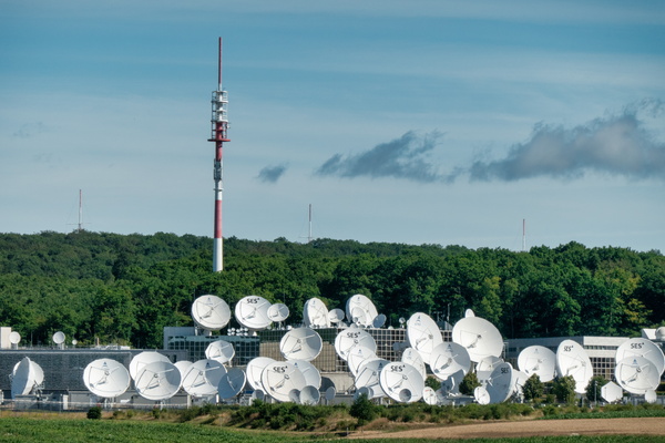
SES Astra in Betzdorf
-
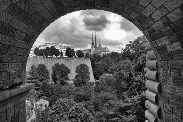
Cathedral view under Pont Adolphe
-
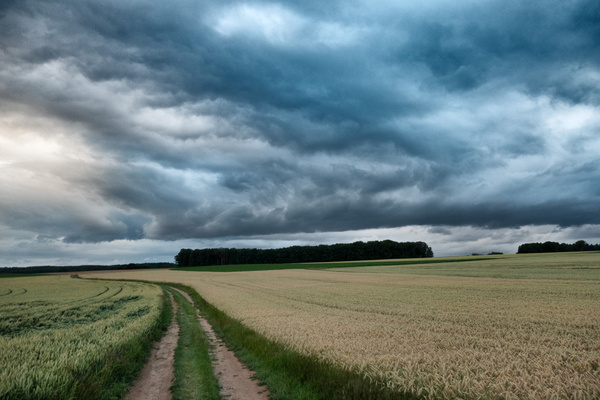
Threatening sky on a track next to Dällchen West Tour
-
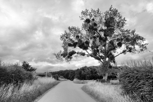
Dällchen West Tour
-
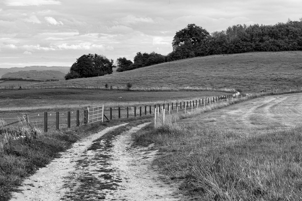
Track near Bissen
-
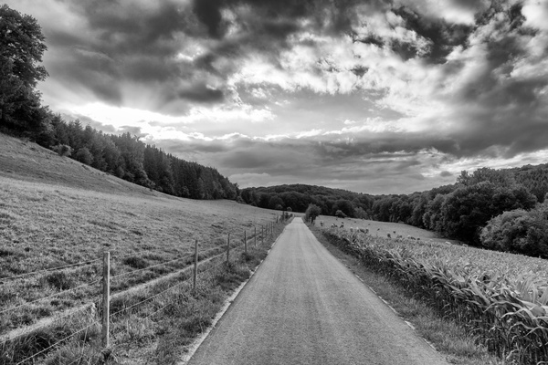
Dällchen West Tour
-
Autopédestre Strassen hiking trail