-
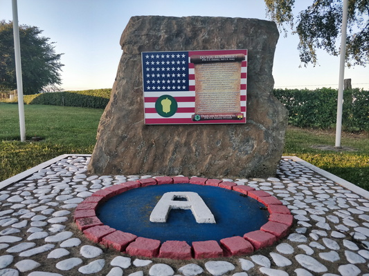
Sankt Vith city limits
-
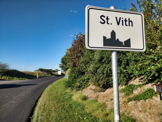
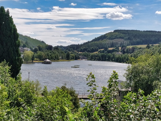
Lac des Doyards
-
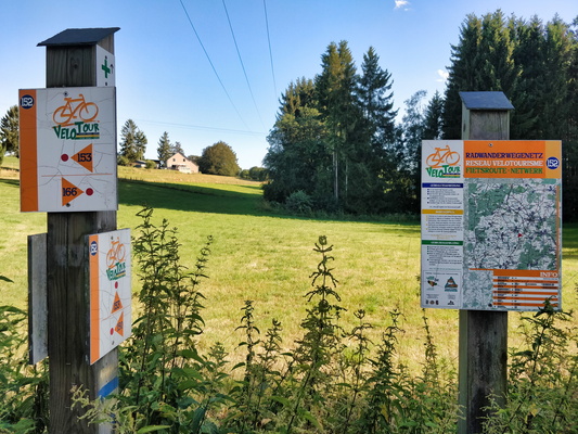
Cycling node network in Liège province
-
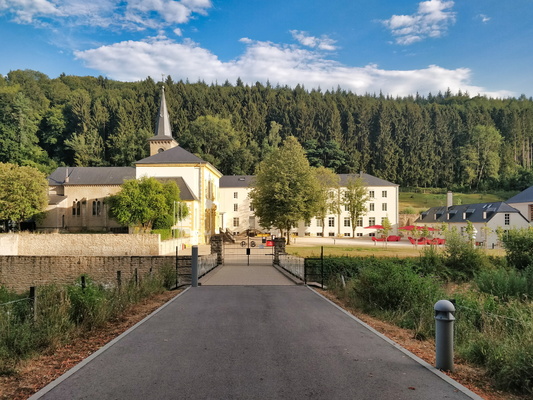
Marienthal
-
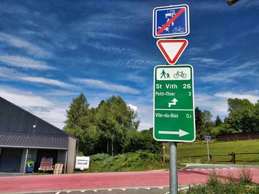
RAVeL cycleway near Ville-du-Bois
-
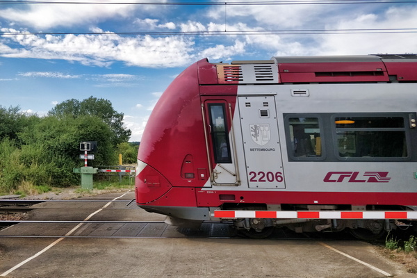
Railroad crossing on PC 10
-
Rider in motion
-
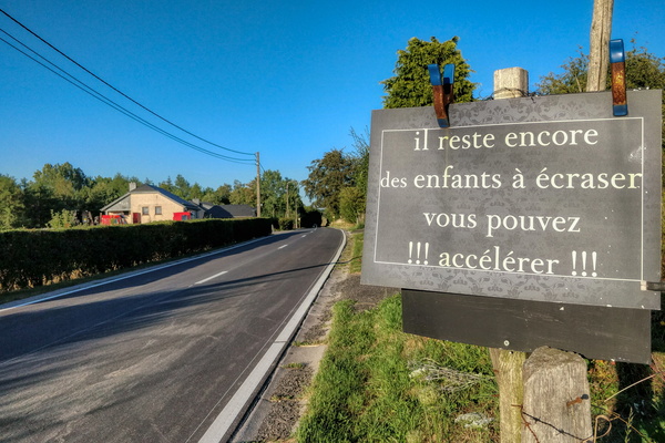
There are still children to smash, you can accelerate!
-
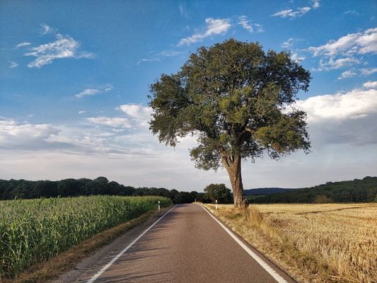
Country road
-
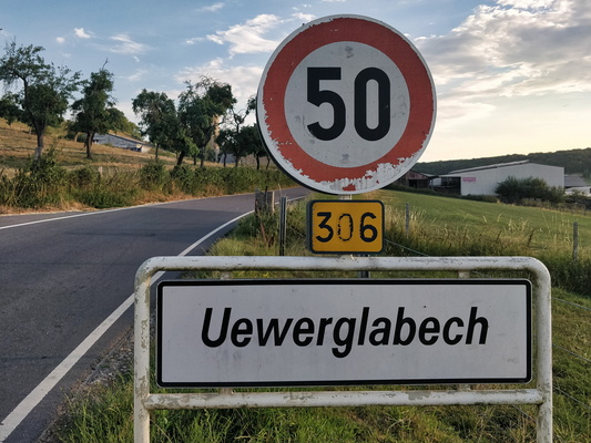
Locality sign
-
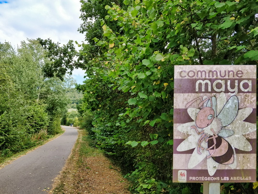
Commune Maya: let's protect the honeybees
-
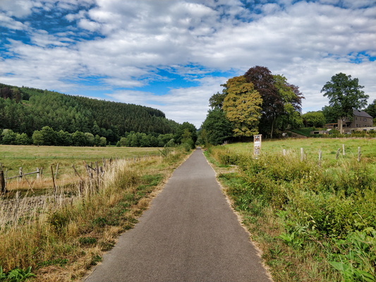
Scenic RAVeL L45
-
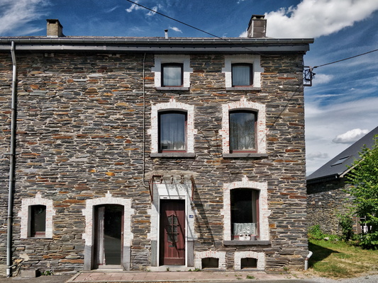
Typical Ardennes house
-
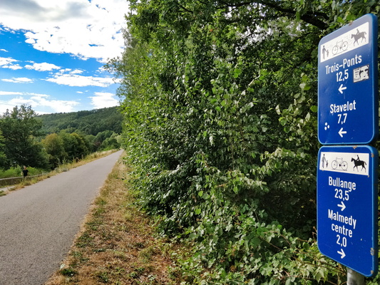
Cycling distances on RAVeL L45
-
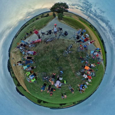
Meetup panorama
-
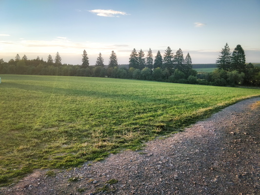
Kneiff : the highest elevation point in Luxembourg
-
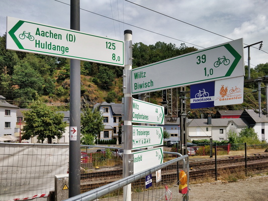
Several cycling directions form Troisvierges
-
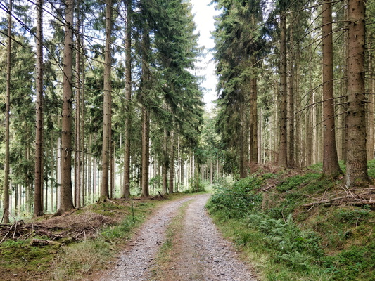
Forest track near Trois-Pont
-
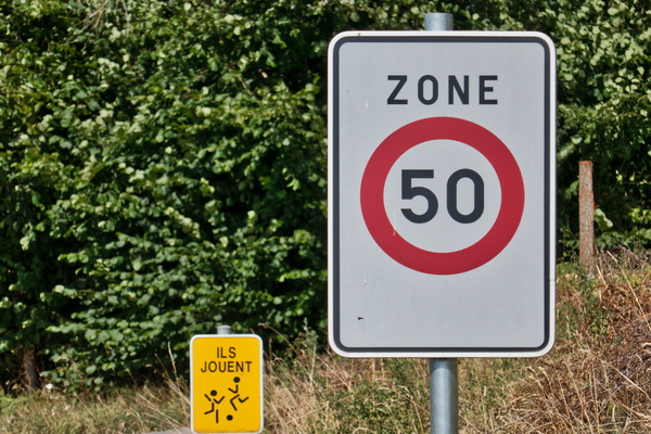
Zone 50 with children playing on the street?!
-
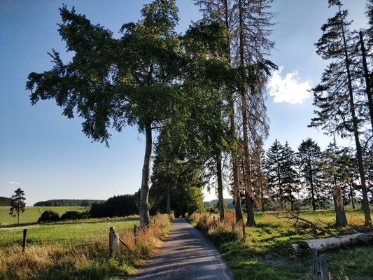
Quiet country road near Beho
-
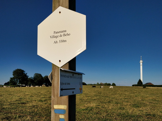
Beho panorama
-
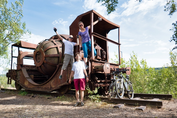
Group picture in Gewerkschaft Jünkerath n°11
-
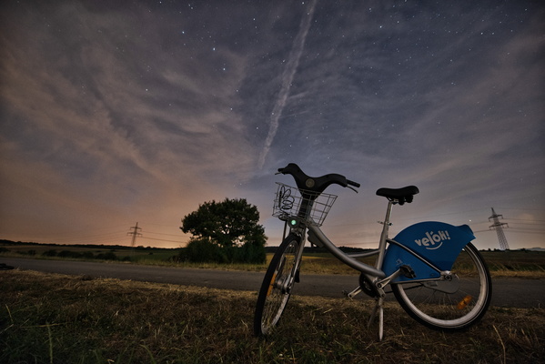
Vel'Oh at night
-
Haxogreen 2018

-
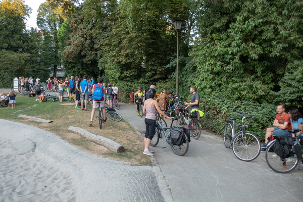
Cycling meetup
-
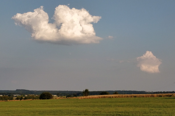
Dragon cloud
-
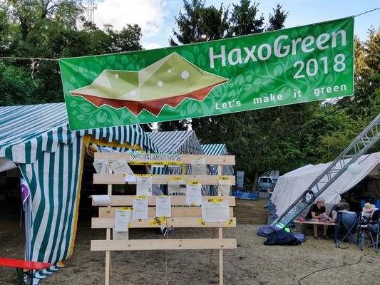
Haxogreen 2018
-
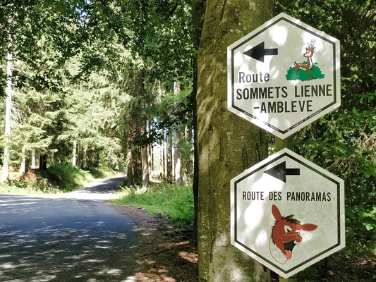
Two routes on the same road
-
Gewerkschaft Jünkerath n°11
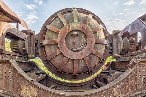
-
Haxogreen 2018: destroyed data
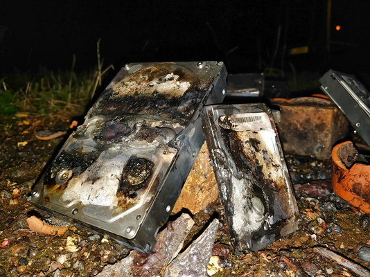
-
Collapsed tree
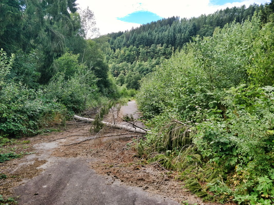
-
Haxogreen 2018: data destruction
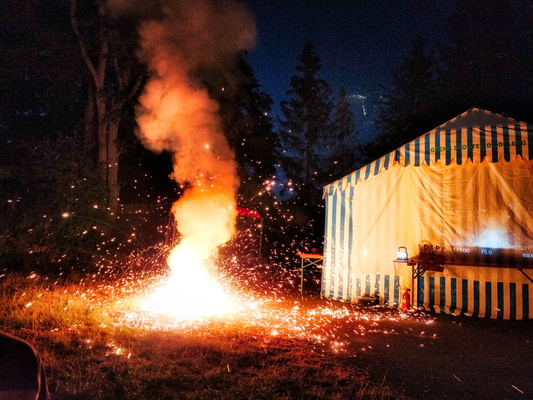
-
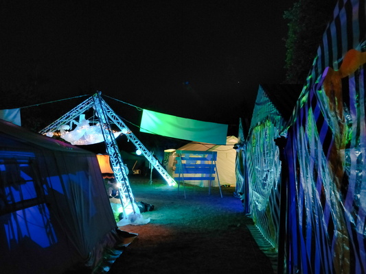
Haxogreen 2018
-
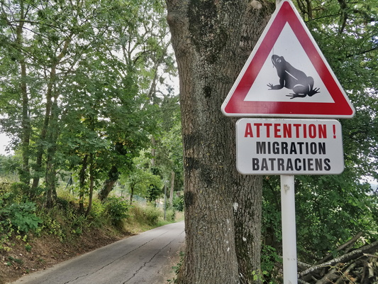
Frog sign
-
Haxogreen 2018

-
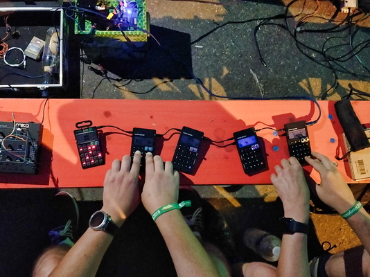
Haxogreen 2018: playing live music
-
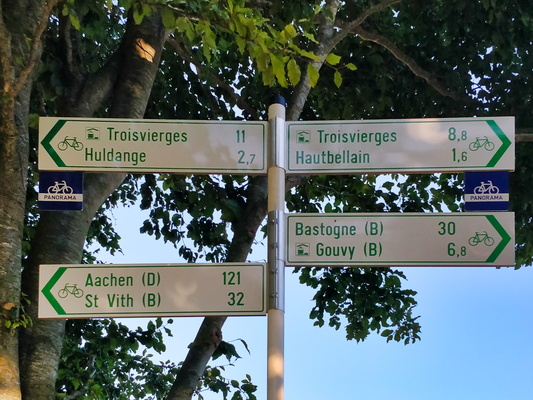
Cycling directions between Hautbellain and Huldange
-
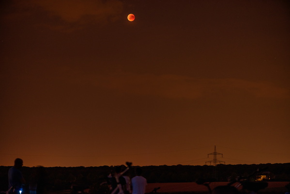
Red moon
-
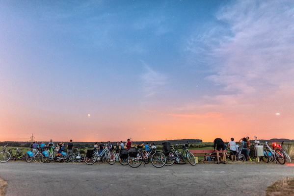
Lunar eclipse group ride
-
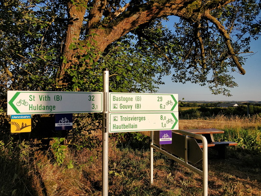
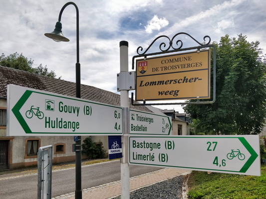
Cycling directions near Hautbellain
-
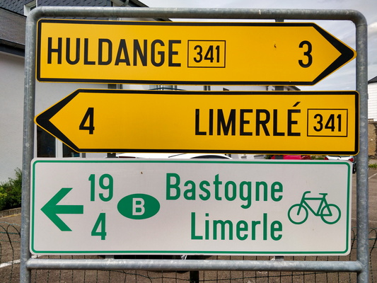
Bastogne: 19 km
-
Bastogne: 27 km
-
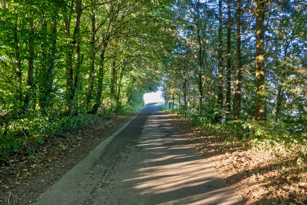
Tunnel of trees near Hautbellain
-
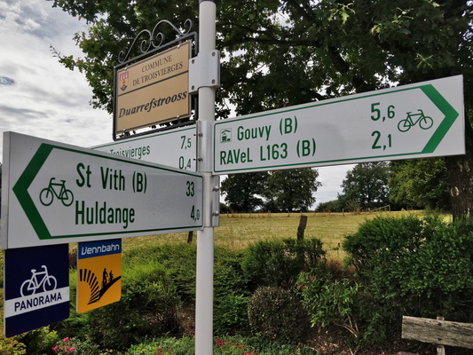
Cycling directions in Hautbellain
-
Burrigplatz