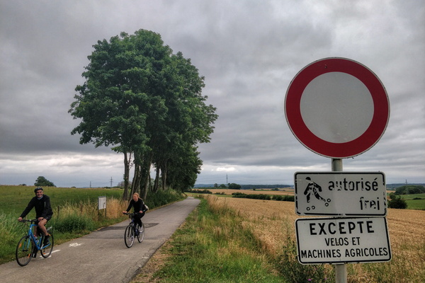
-
Fields and forest near Hunsdorf

-
Mersch park

-
Road between Beringerberg and Angelsberg

-
Forest track above Rollingen

-
Grünewald
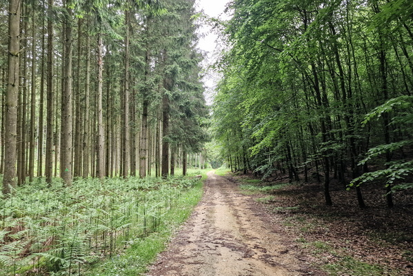
-
Threatening sky

-
Objects on the window
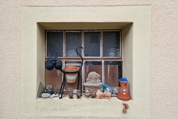
-
Flower
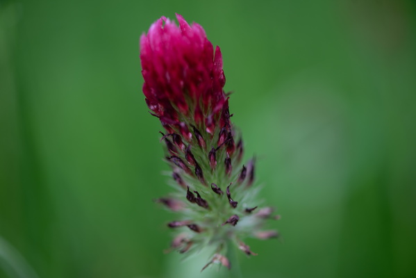
-
Wild flowers

-
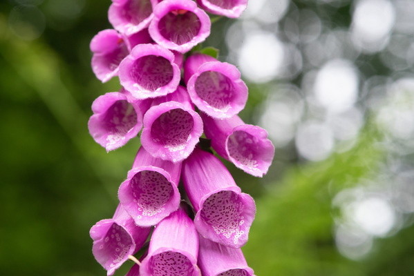
Digitalis flower
-
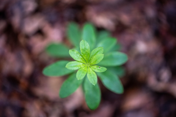
Forest plant
-
Fern

-
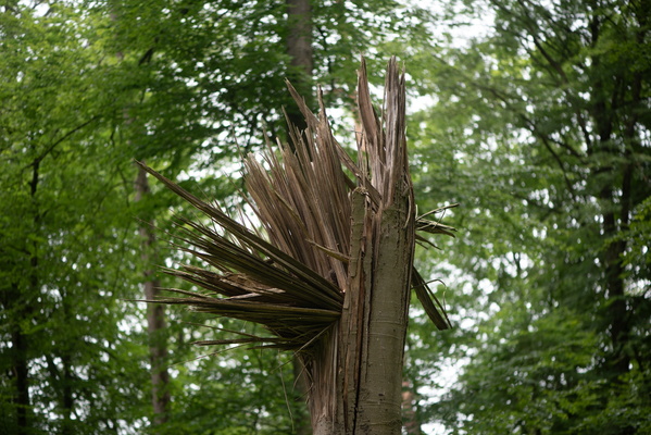
Broken tree trunk
-
Cute fern

-
Schéiferei hiking route

-
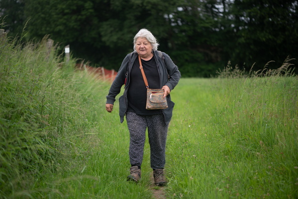
Walking on Schéiferei hiking route
-
Asparagus next to Schéiferei hiking route

-
Wild fruit

-
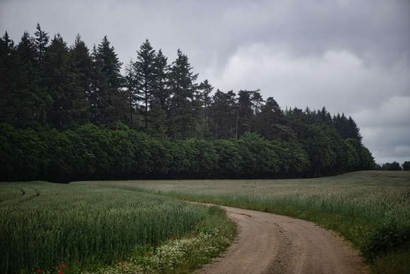
Schéiferei hiking route
-
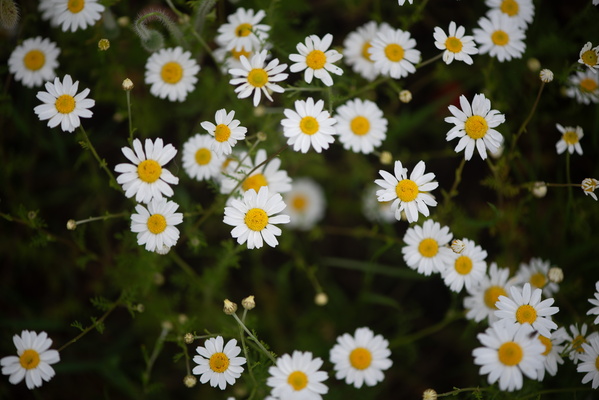
flowers
-
Flower

-
Flower

-
Schéiferei hiking route

-
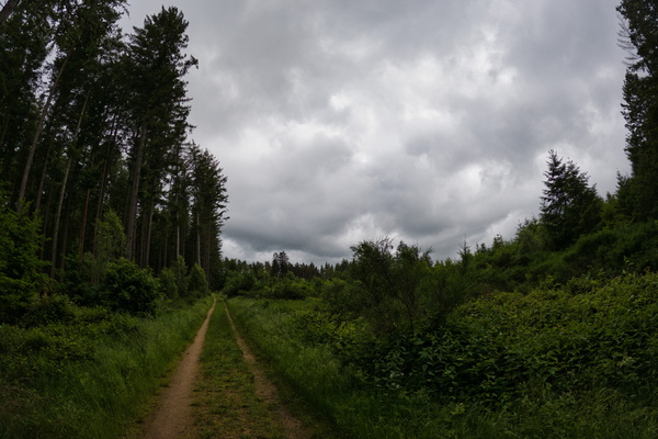
Schéiferei hiking route
-
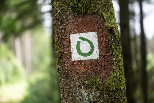
Trunk
-
Schéiferei hiking route

-
Trunk

-
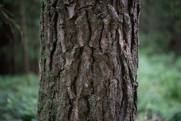
Trunk
-
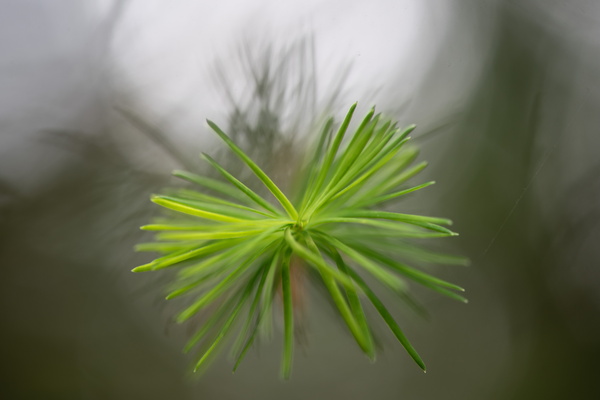
Fresh spruce
-
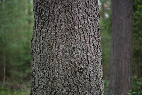
Trunk
-
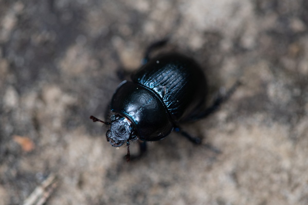
Beetle
-
Pine kernel

-
Time for a break

-
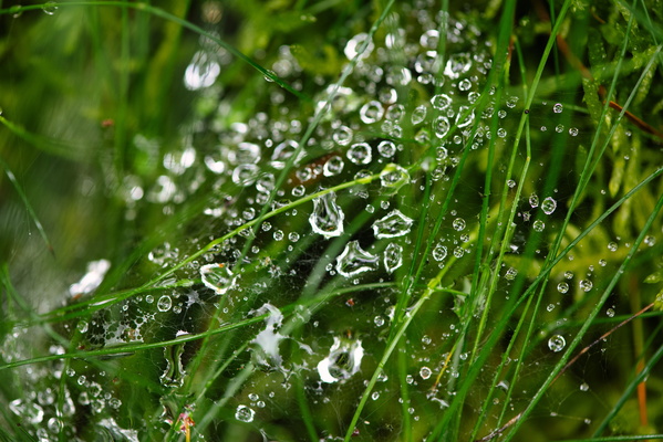
Web and water drops
-
Growing tree

-
Schéiferei hiking route

-
Flower

-
Tree with an interesting shape

-
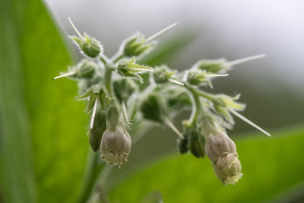
Wild flowers
-
Green

-
Pink grasses

-
Green shoes

-
Top of Guttland.Trail information board

-
Lightning activity alert

-
Close storm, but I'm next to a shelter

-
Storm ahead

-
Goats

-
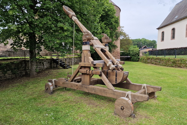
Catapult
-
Sheep

-
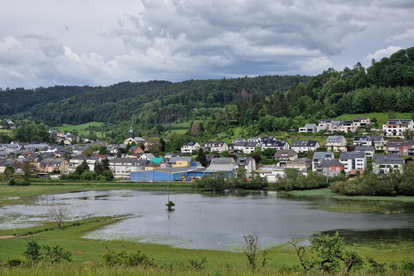
Flooded field near Lintgen
-
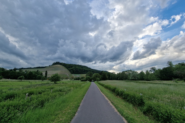
Ruwer-Hochwald-Radweg
-
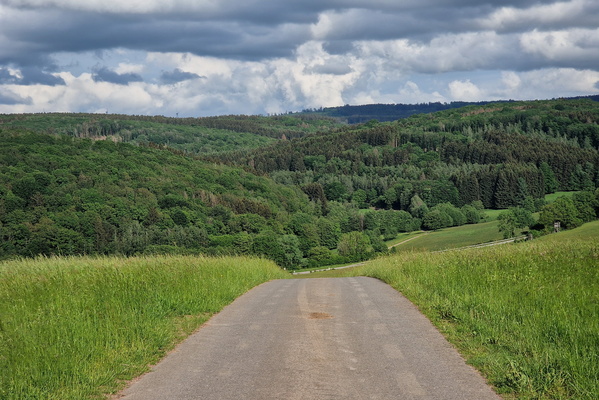
Hunsrück Hills
-
Saarburg

-
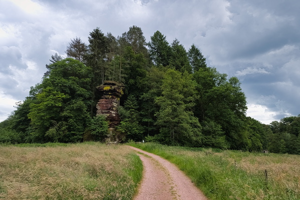
Kollesleuker Schweiz
-
Kollesleuker Schweiz

-
Horse carriage

-
View to Luxembourg from Saarland

-
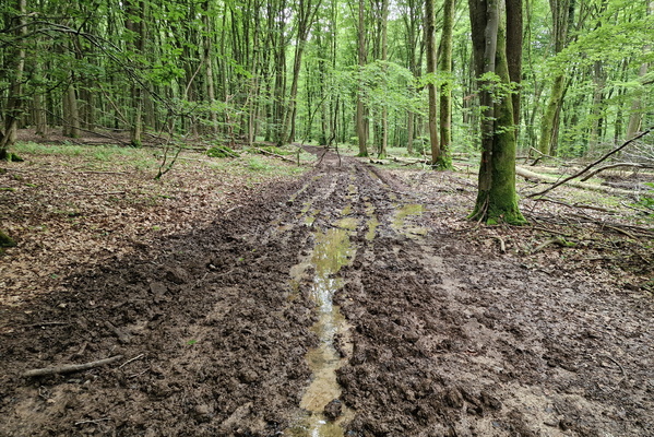
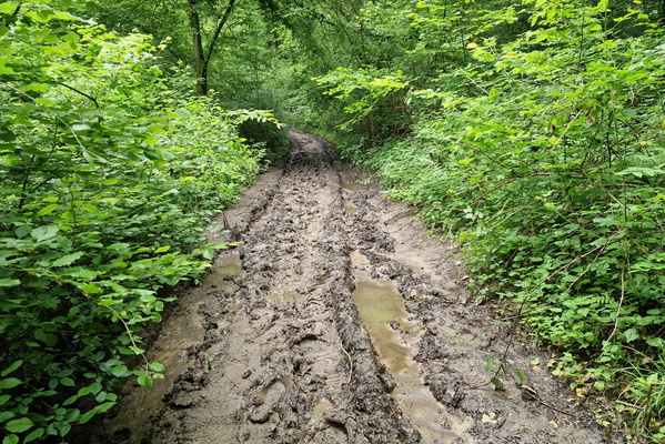
Muddy Perl Bike
-
Muddy Perl Bike
-
Sheep

-
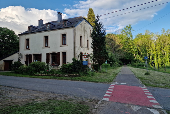
Old tramway line in Chatillon
-
One of the craziest bike route segment

-
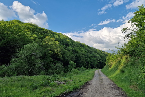
Track near Saint-Léger
-
Bike route between Étalle and Saint-Léger

-
Étang de Gantaufet

-
Chaussée Romaine

-
Réserve de la Carrière de Tattert

-
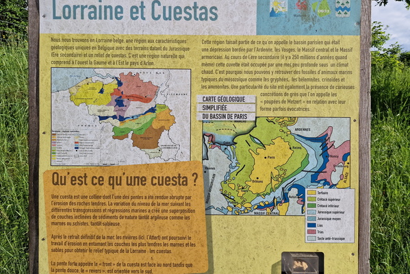
Geology information board in Tattert
-
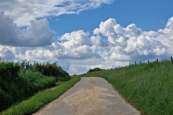
Clouds near Autelbas
-
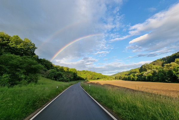
Rainbow
-
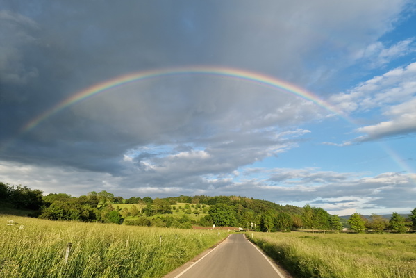
Rainbow
-
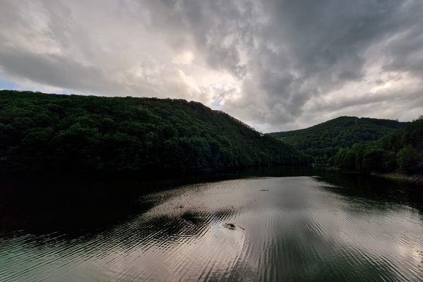
Our river
-
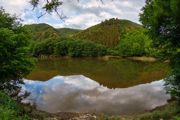
Our river
-
Our river

-
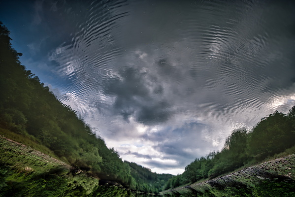
Upside down Our river
-
Our river

-
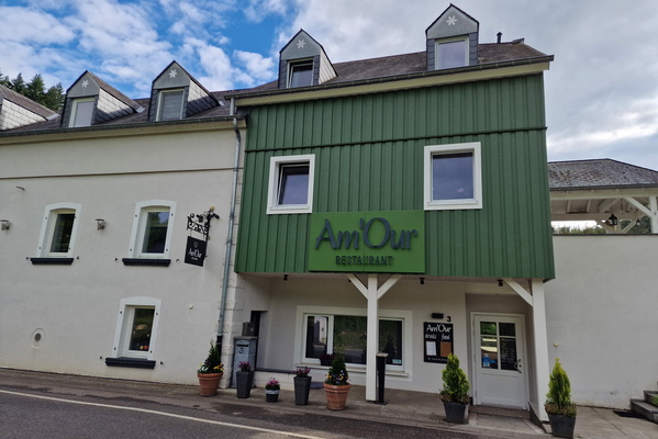
Am'Our: what a cute name
-
Ourdall

-
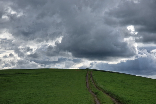
Track near Rodershausen
-
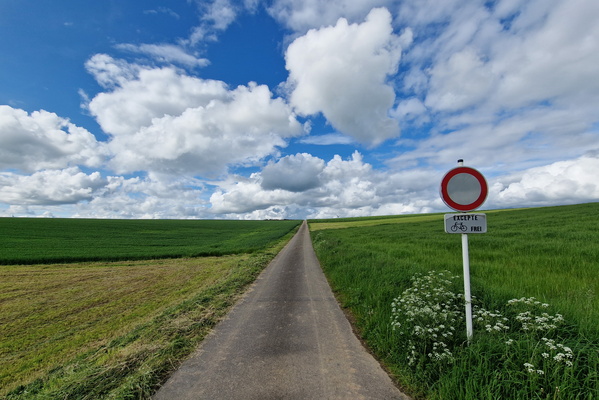
Paved track near Grindhausen
-
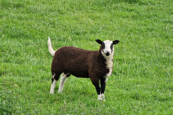
Sheep
-
Autopédestre Binsfeld

-
PC 21 works progress

-
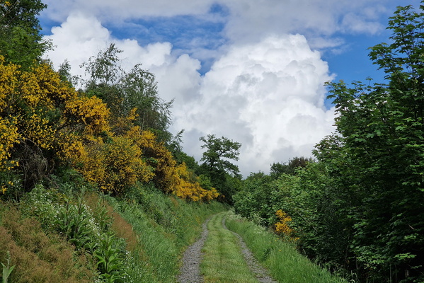
Track near Maulesmillen
-
Cinqfontaines

-
Autopédestre Troisvierges 1 near Sassel

-
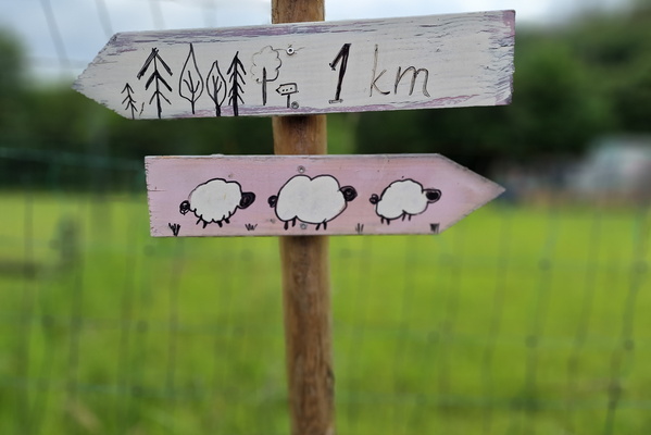
Sheep or forest?
-
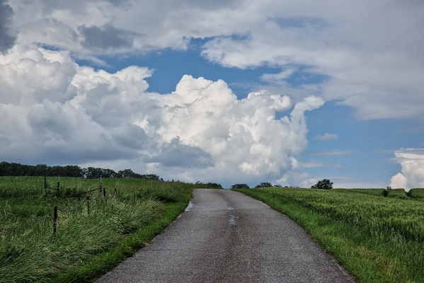
Threatening sky near Mompach
-
New and already damaged path

-
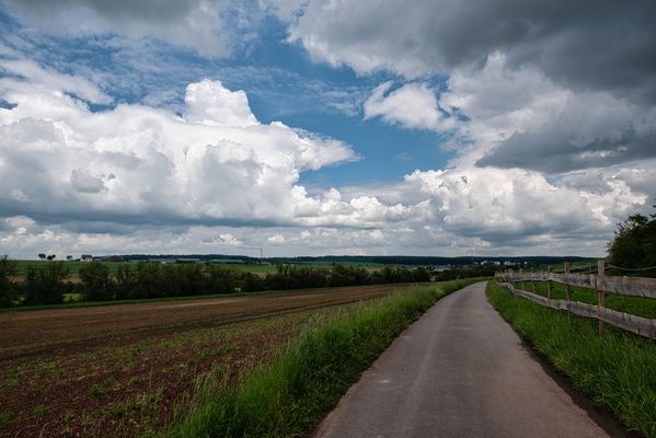
Threatening sky near Olingen
-
Swimming buffalo

-
New bike route in Cents

-
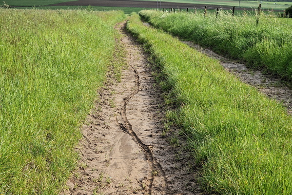
Slippery track
-
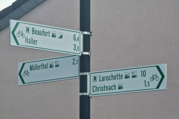
New bike route in Waldbillig
-
Beaufort castle

-
Walkboard near Beaufort
-
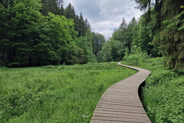
Walkboard near Beaufort

-
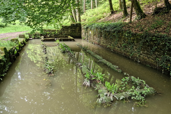
Flooded old lavoir near Beaufort
-
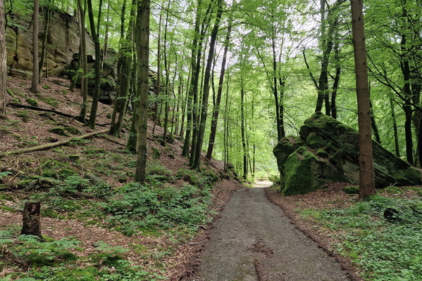
Mullerthal Trail Extra Tour B
-
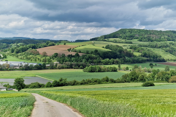
Sauerdall above Diekirch
-
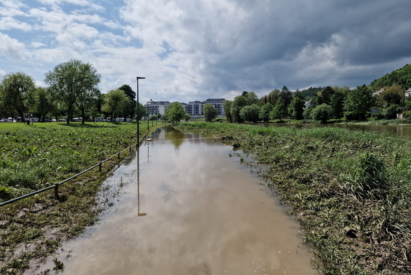
Flooded PC 16
-
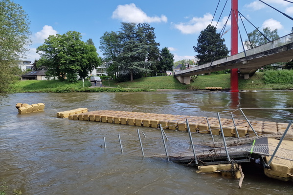
Damaged floating bridge
-
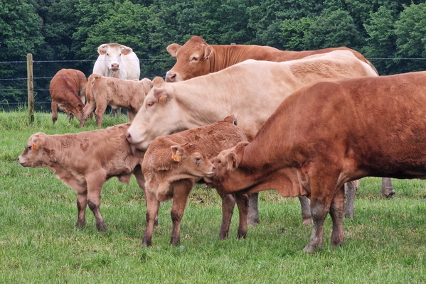
Cows
-
Low clouds

-
Wide enough!

-
Dirty track

-
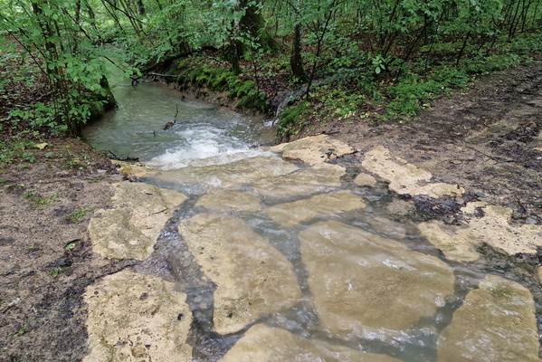
Ford
-
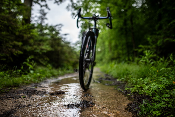
Wet path
-
Wheell's water reflection

-
Broken tin, no problem!

-
Fallen tree

-
Vennbahn at the BeLux border

-
Our river near Winterspelt

-
Old bridge in Ourdall near Burg-Reuland

-
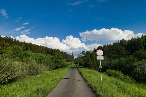
Eifel-Ardennes cycle route
-
Map of bike routes on old railways

-
Train for display in Pronsfeld

-
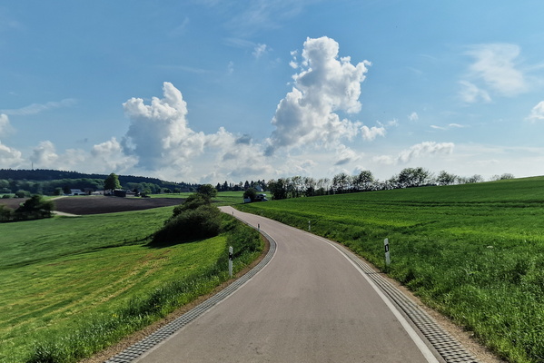
Country road in the Eifel
-
Nim(m)s Rad! car free day

-
Nim(m)s Rad! car free day

-
Nim(m)s Rad! car free day

-
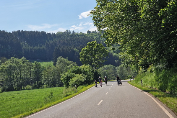
Nim(m)s Rad! car free day
-
Nim(m)s Rad! car free day

-
Nim(m)s Rad! car free day

-
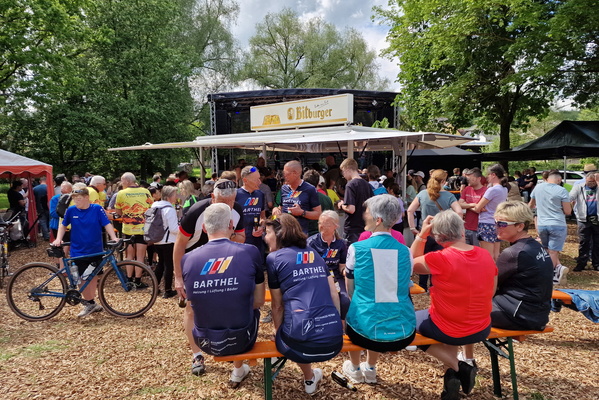
Nim(m)s Rad! car free day
-
Wild Prüm River

-
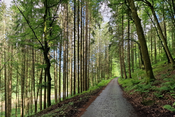
Prümtal-Radweg near Hermesdorf
-
Oberweis

-
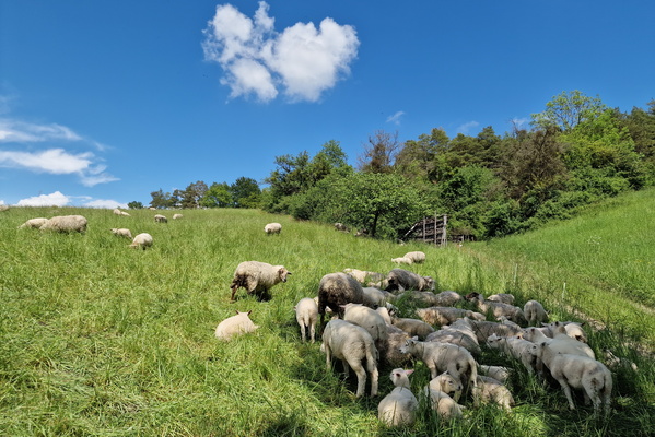
Sheep
-
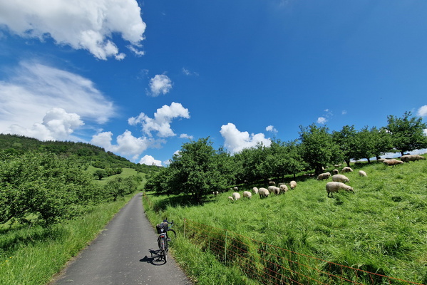
Sheep
-
Prüm Valley

-
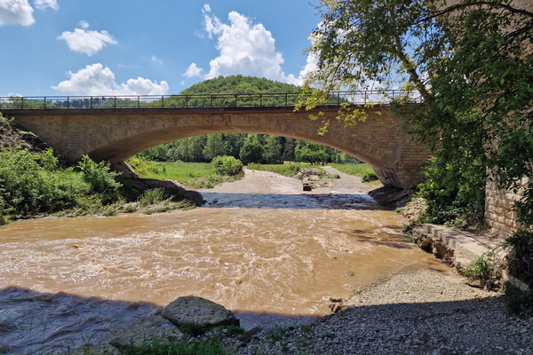
Flooded path
-
Sauer river in Echternach

-
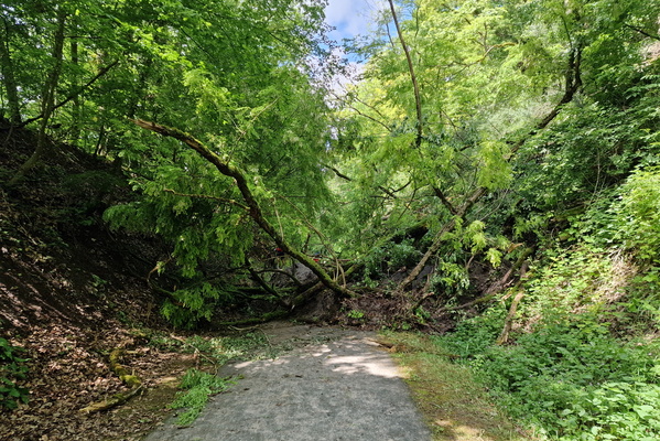
Landslide on PC 2
-
Golden hour in the mist

-
Sun rays

-
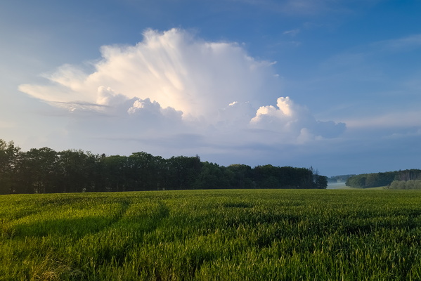
Thunderstorm above Feulen seen near Kehlen
-
Sun rays

-
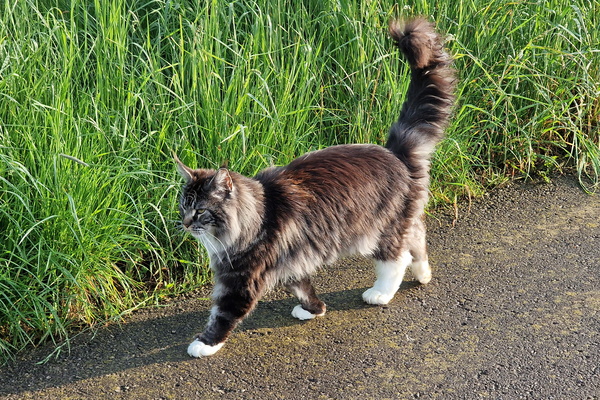
Maine Coon cat encounter
-
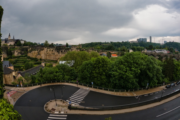
Thunderstorm in the city
-
Skyline

-
Thunderstorm in Kirchberg

-
Thunderstorm in Kirchberg

-
Thunderstorm in Kirchberg

-
Thunderstorm in Kirchberg
-
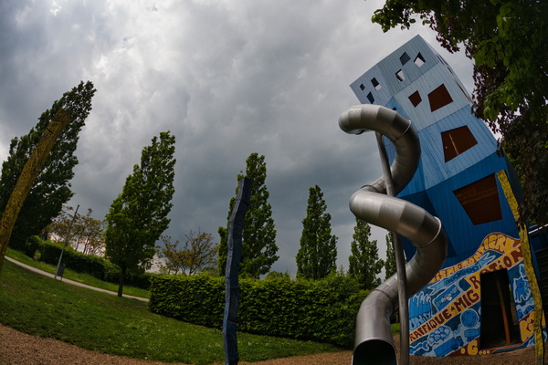
Rain shelter in a playground

-
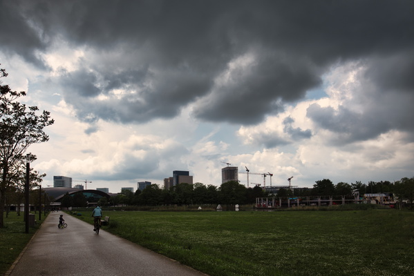
Thunderstorm in Kirchberg
-
Thunderstorm in Kirchberg

-
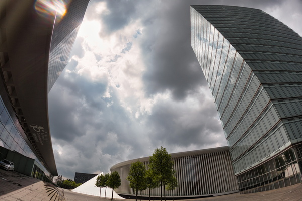
Thunderstorm in Kirchberg
-
Thunderstorm in Kirchberg

-
Thunderstorm in the city

-
Thunderstorm in the city

-
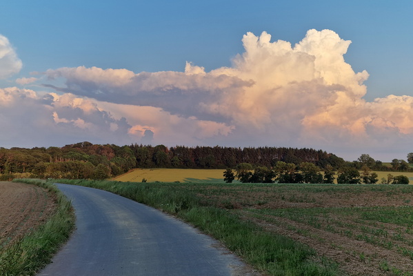
Distant thunderstorm during golden hour
-
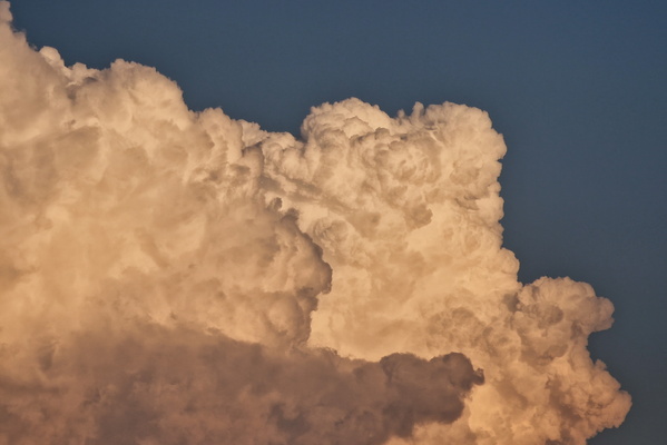
Distant thunderstorm during golden hour
-
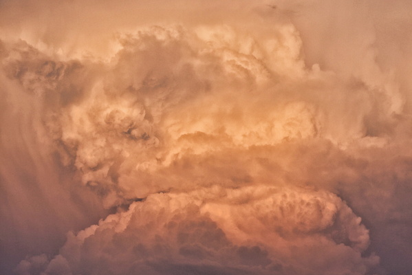
Distant thunderstorm during golden hour
-
Closed road with open sidewalk

-
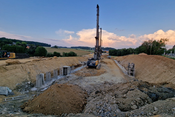
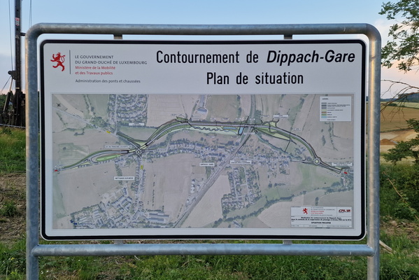
Dippach-Gare bypass construction
-
Dippach-Gare bypass construciton map
-
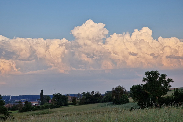
Distant thunderstorm
-
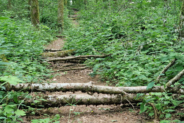
Trees on the trail
-
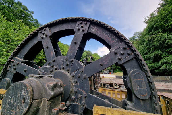
Fond de Gras
-
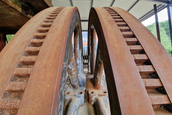
Fond de Gras
-
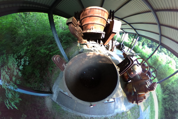
Fond de Gras
-
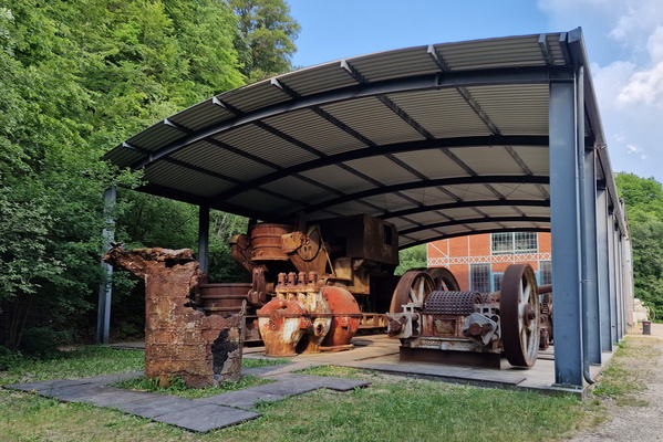
Fond de Gras
-
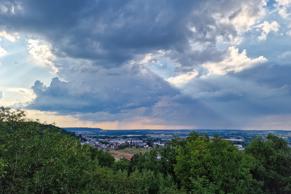
Thunderstorm between Longwy and Virton
-
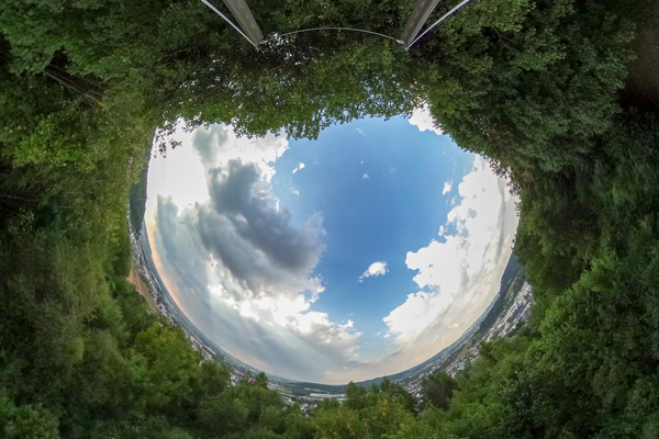
Storm or no storm?
-
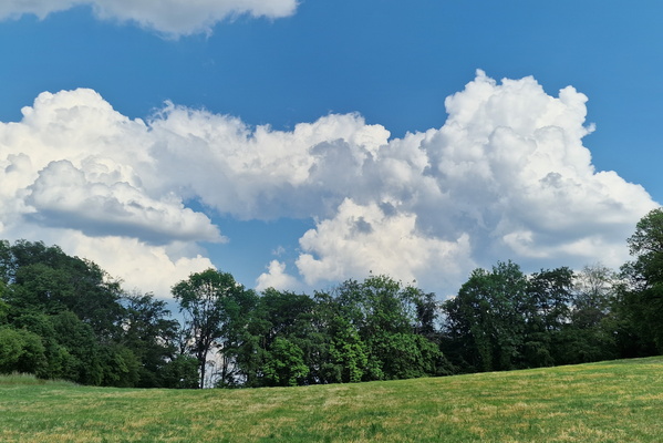
Clouds to monitor
-
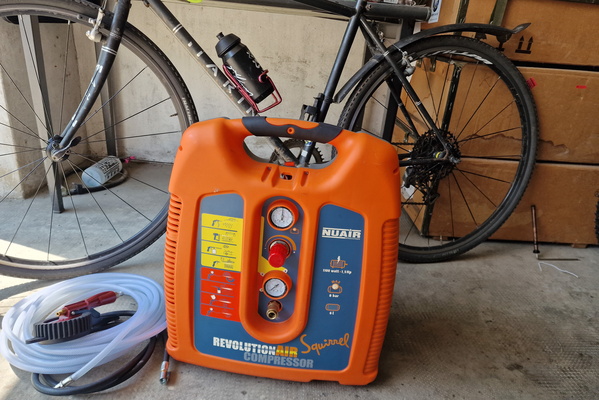
Air compressor
-
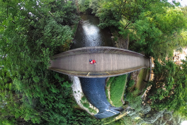
Alzette river in Gantenbeinsmillen
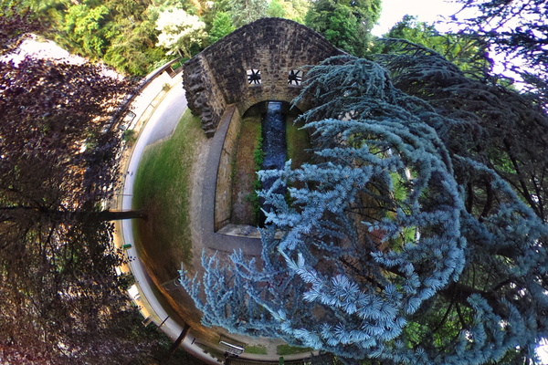
-
Gantenbeinsmillen
-
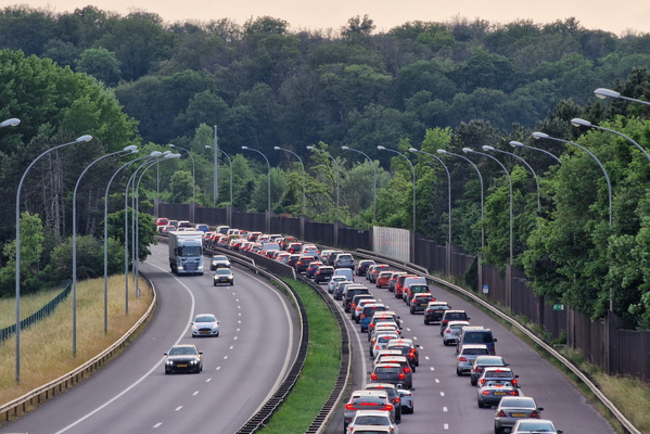
Traffic jam
-
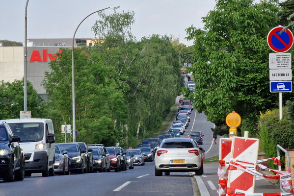
Traffic jam
-
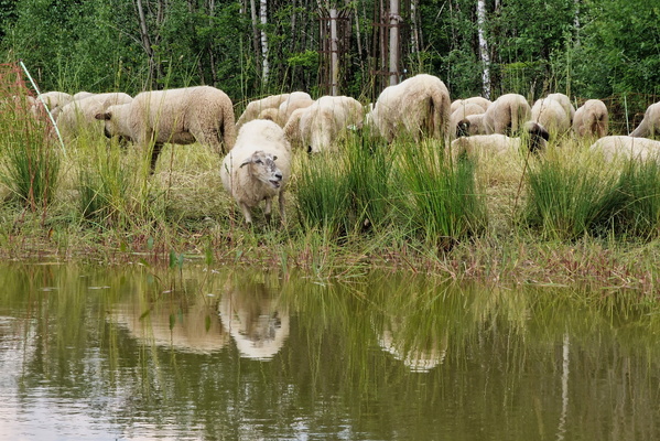
Sheep
-
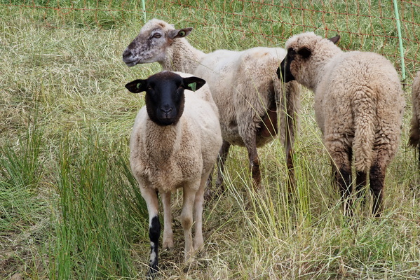
Sheep
-
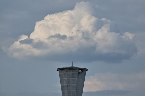
Water tower refill?
-
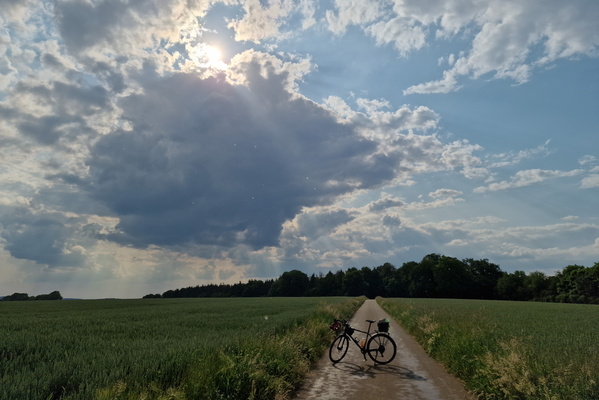
Finally, a bit of rain
-
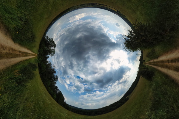
Will it rain?
-
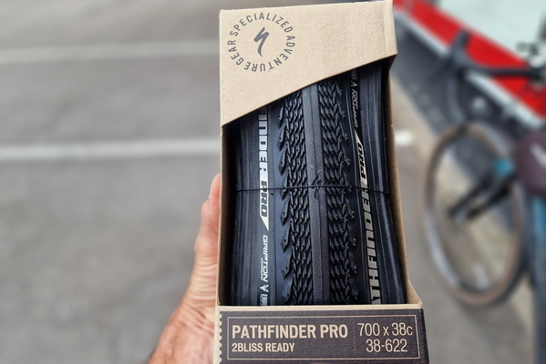
New tyre for Sequoia
-
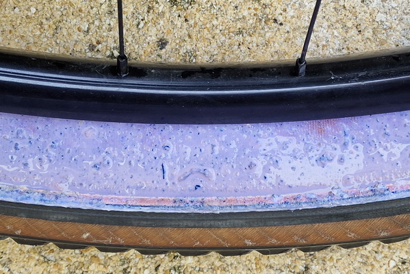
Tubeless sacrifice
-
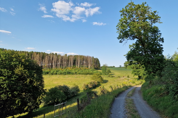
Track between Pont-Misère and Bilsdorf
-
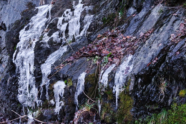
Ice on rocks
-
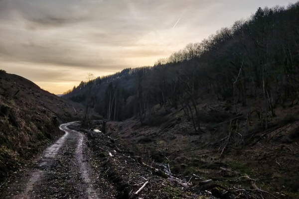
Mordor forest track
-
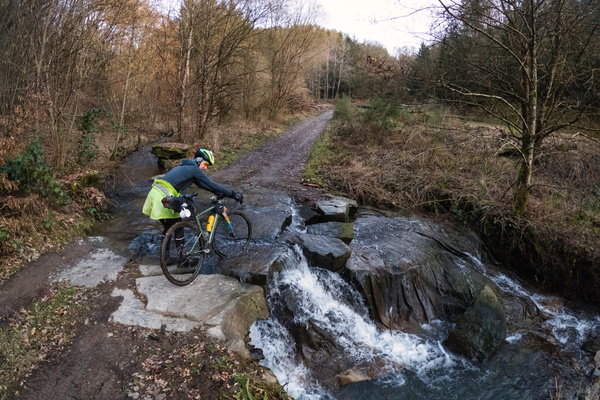
Fording
-
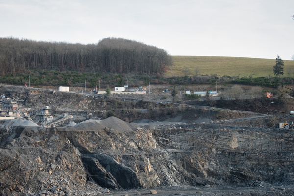
Quarry
-
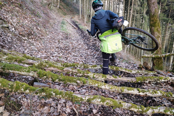
Trunks on the track
-
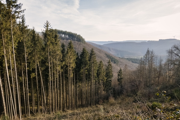
Forest view near Lellingen
-
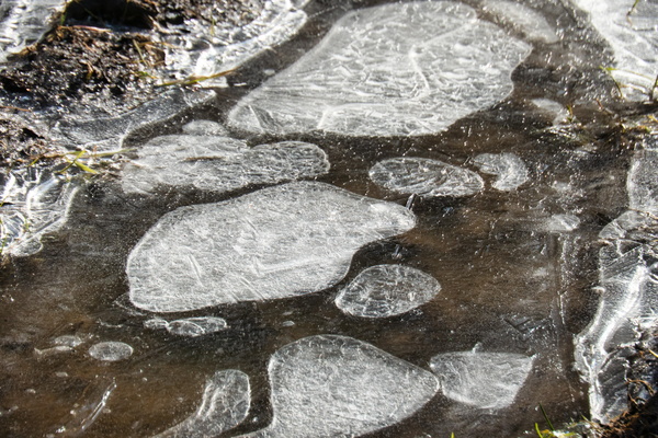
Frozen puddle
-
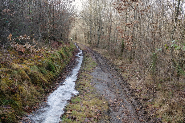
Partly frozen track
-
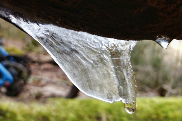
Ice
-
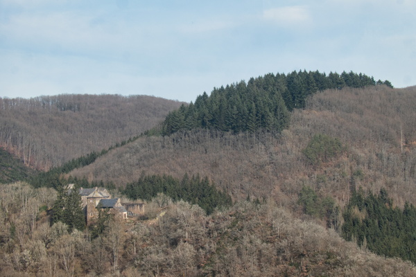
Schuttbourg Castle
-
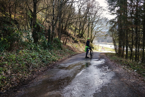
Icy bit
-
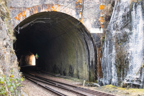
Tunnel de Hocksay
-
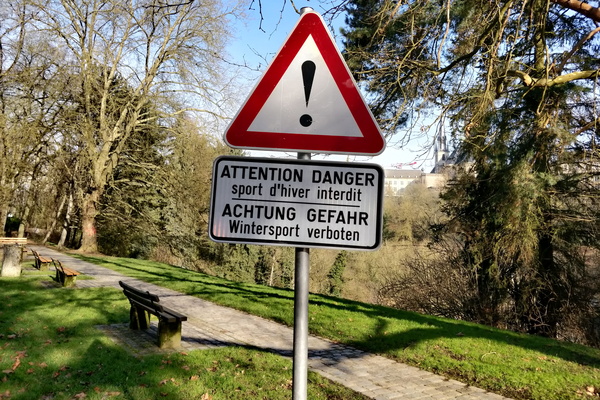
No winter sports! Danger!
-
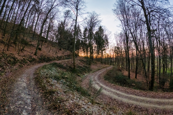
Autopédestre Saeul
-
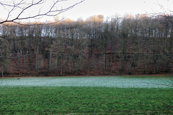
Frozen grass near Saeul
-
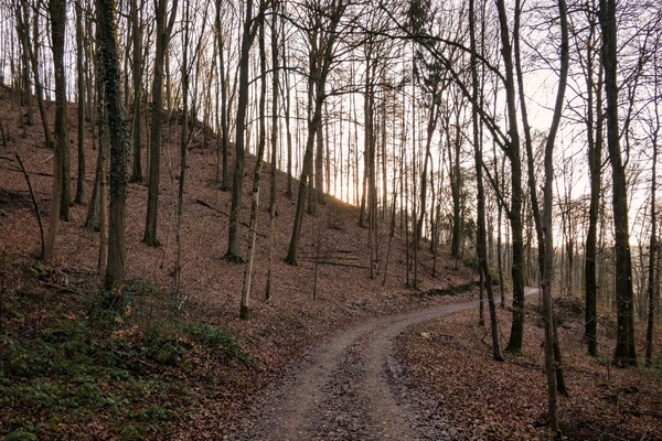
Forest track near Saeul
-
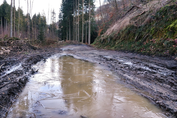
Frozen water near Hollenfels
-
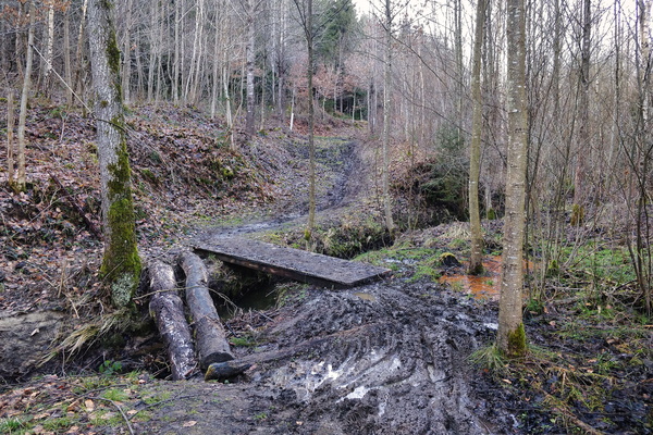
Reckenerwald
-
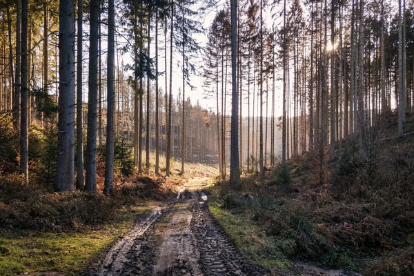
Reckenerwald
-
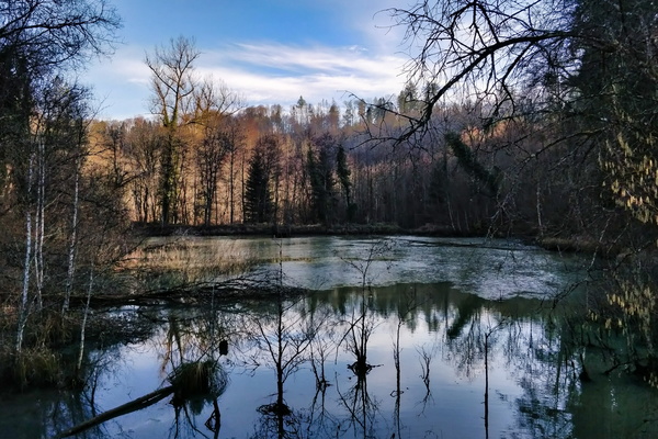
Mandelbaach
-
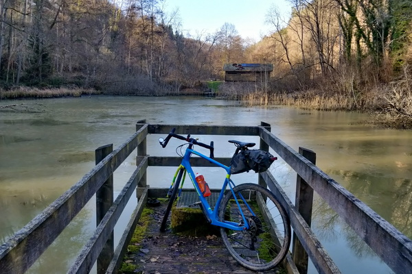
Mandelbaach
-
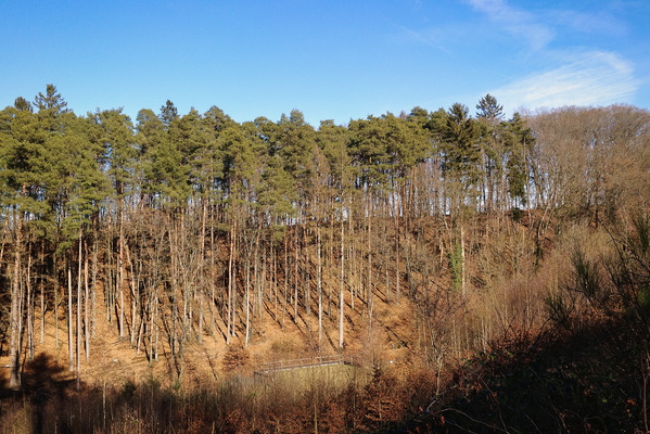
Bridel
-
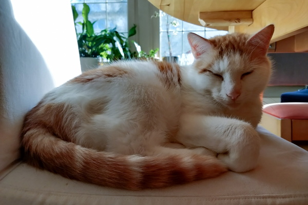
Timmy
-
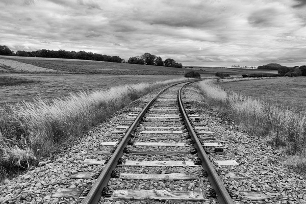
Railway track
-
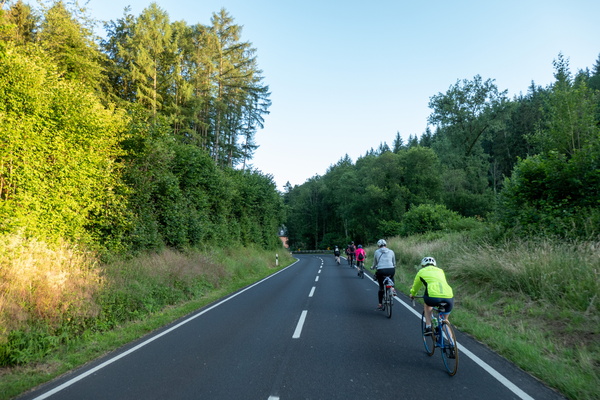
Bicycles queuing in Mamerdal
-
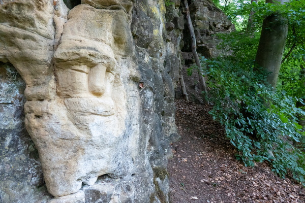
Sculpture
-
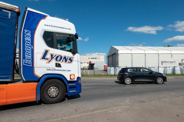
Cycling infrastructure in Koerich
-
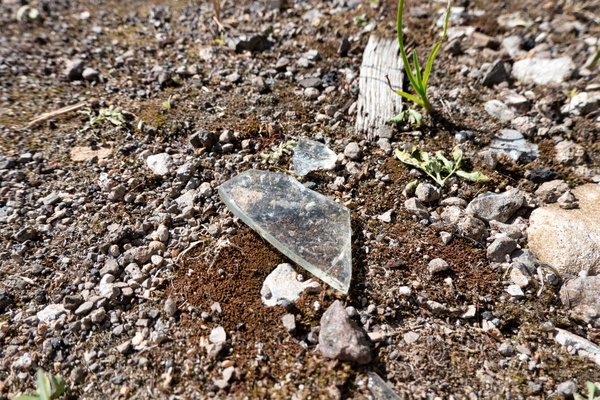
Cycling infrastructure in Koerich
-
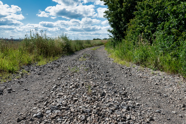
Cycling infrastructure in Koerich
-
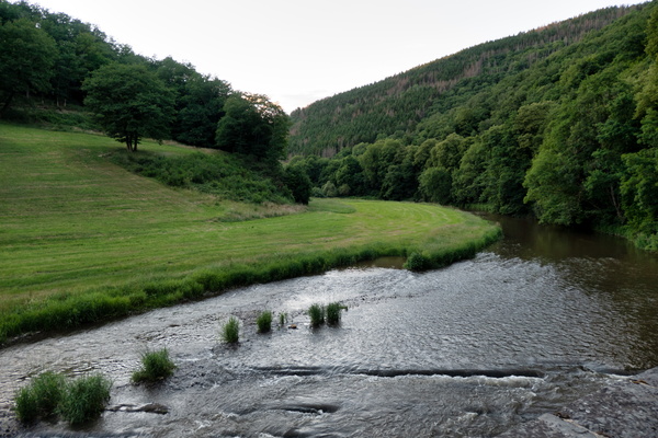
Sauertal
-
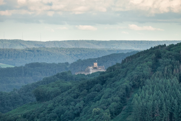
Bourscheid castle
-
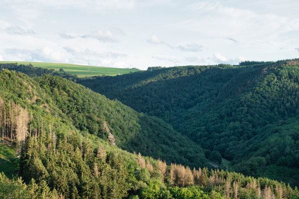
Above the Wiltz valley
-
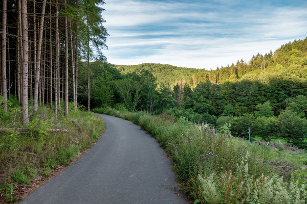
Piste cyclable de la Wiltz
-
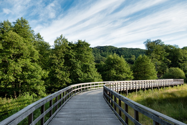
Piste cyclable de la Wiltz
-
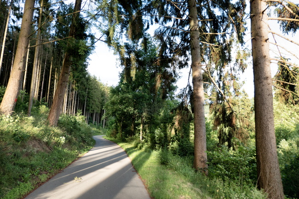
Piste cyclable de la Wiltz
-
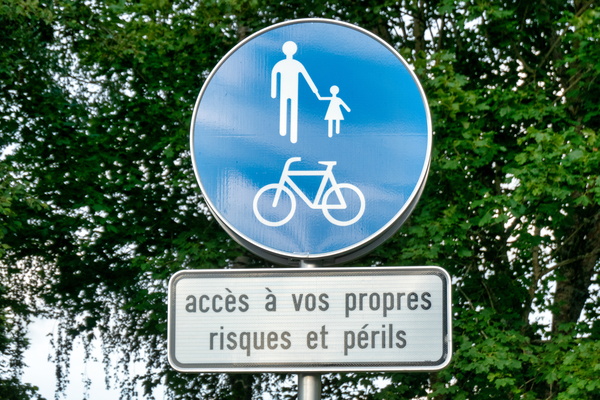
The dangerous piste cyclable de la Wiltz
-
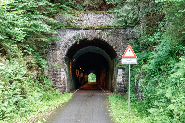
Piste cyclable de la Wiltz
-
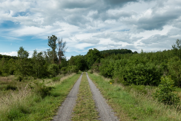
Gravel way between Martelange and Bastogne
-
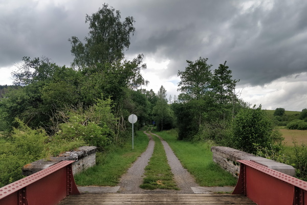
Gravel way between Martelange and Bastogne
-
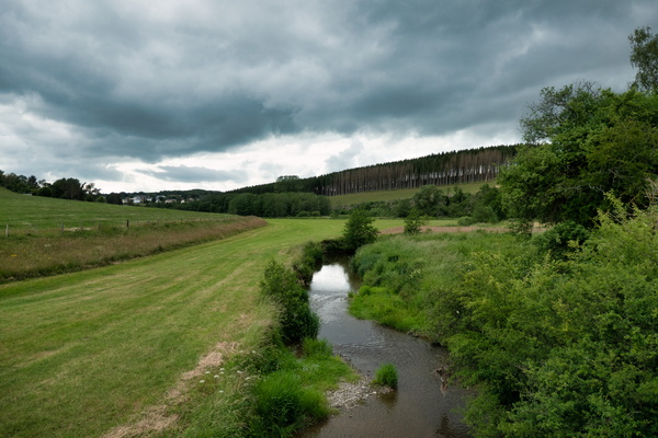
The Sauer river from EuroVelo 5
-
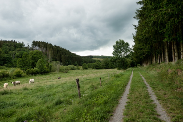
Gravel way between Martelange and Bastogne
-
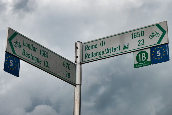
All roads lead to Rome
-
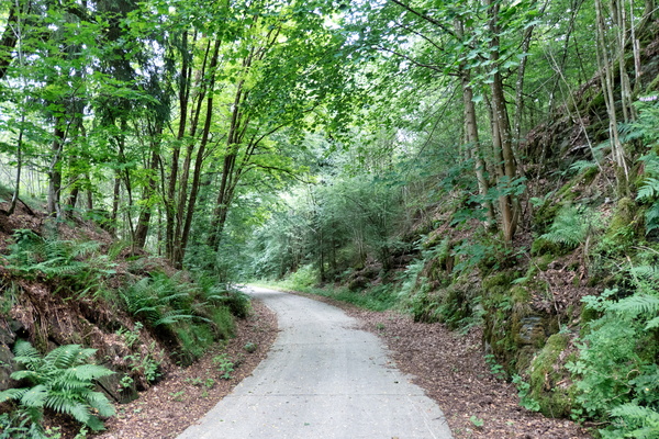
Piste cyclable des Ardoisières near Martelange
-
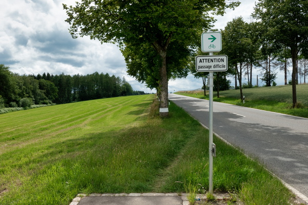
Passage difficile
-
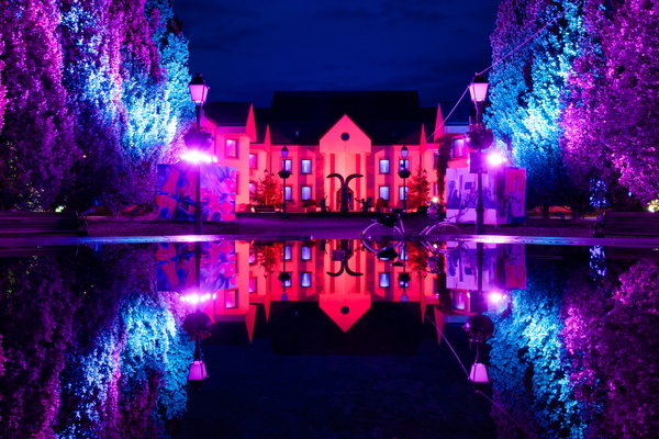
Hesper Park at night
-
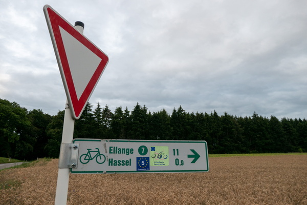
New features on the EuroVelo 5 cycling route
-
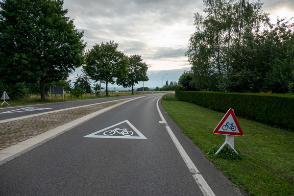
New features on the EuroVelo 5 cycling route
-
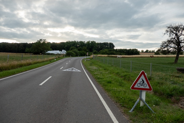
New features on the EuroVelo 5 cycling route
-
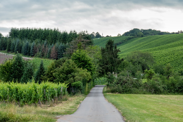
Cycling in the vineyards on PC 7 near Remich
-
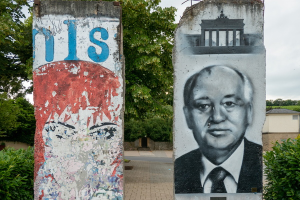
Berlin Wall in Schengen
-
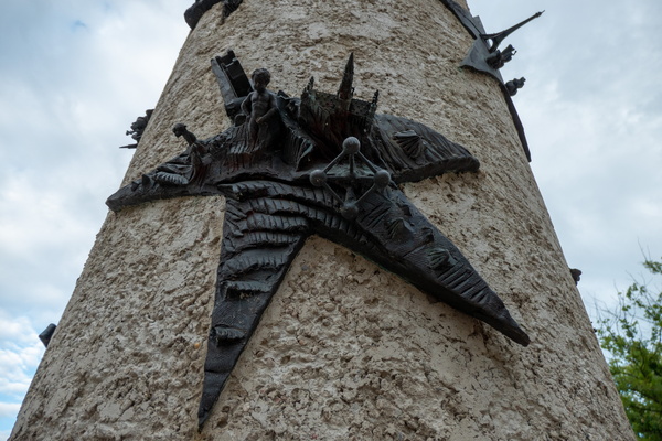
Brussels in Schengen, and Paris in the background
-
The clouds
-
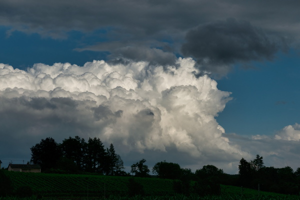
Threatening sky
-
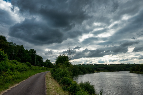
Mosel-Radweg near Rohlingen
-
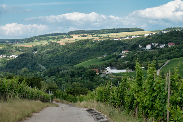
Diving into the Moselle Valley
-
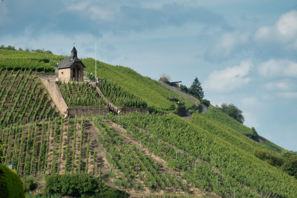
Vineyards near Wormeldange
-
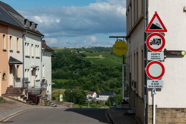
Slope down to the Moselle valley
-
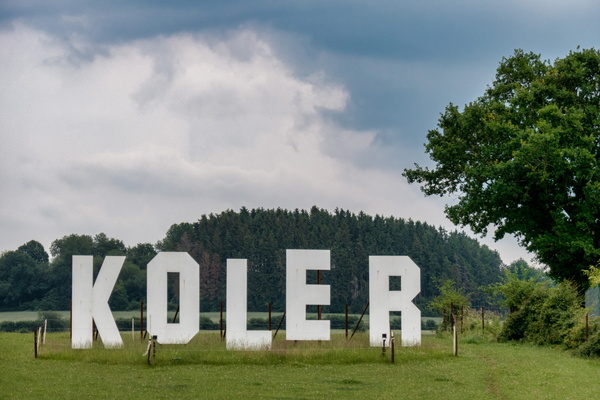
Koler
-
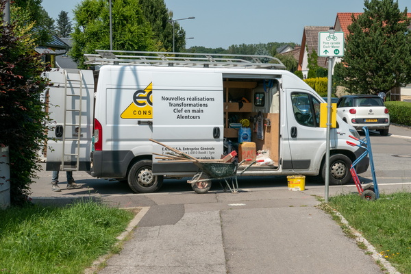
No comment
-
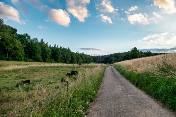
Asphalt track near Junglinster
-
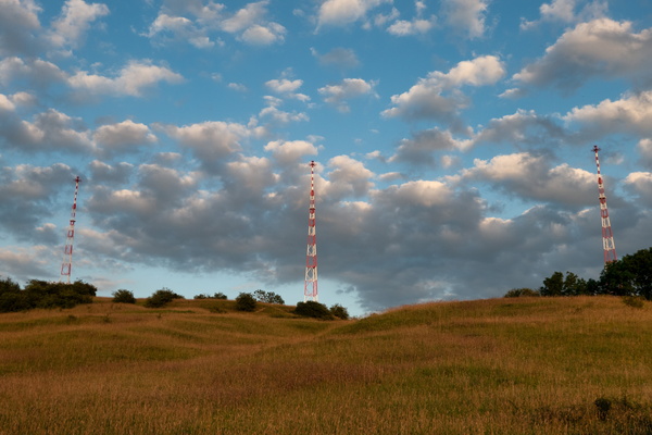
Three Eiffel towers?
-
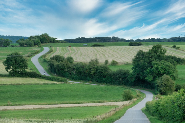
Asphalt trac near Heffingen
-
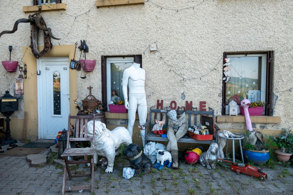
Strange home
-
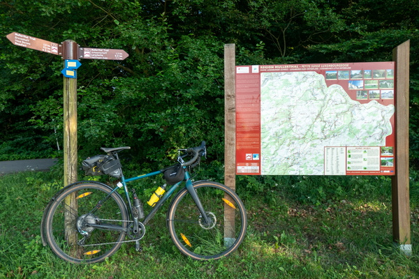
Mullerthal Trail
-
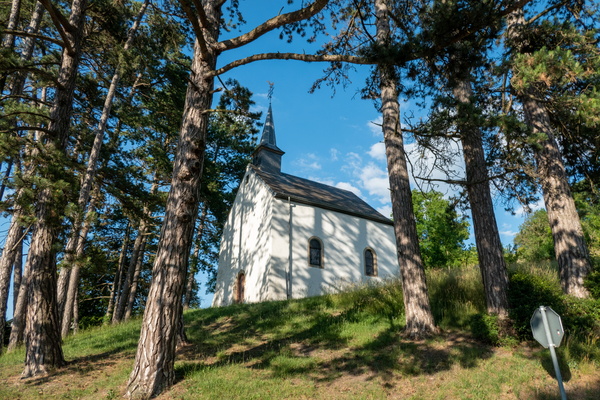
Niederglabach's chapel
-
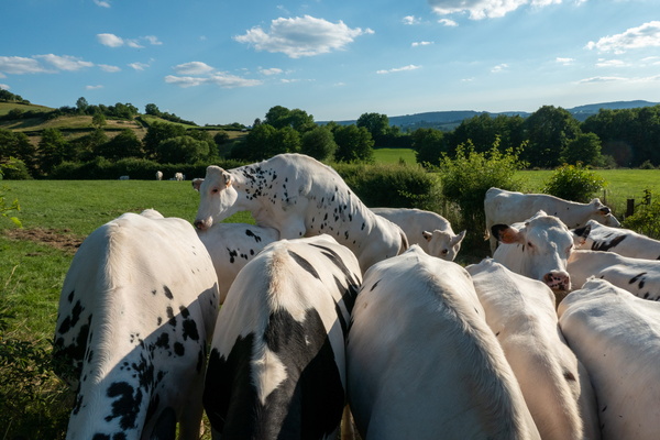
Porn scene
-
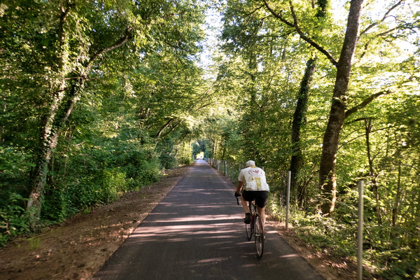
Retired person on his daily ride
-
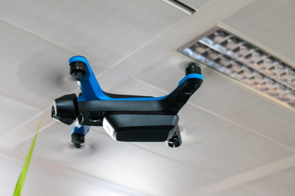
A drone in the office
-
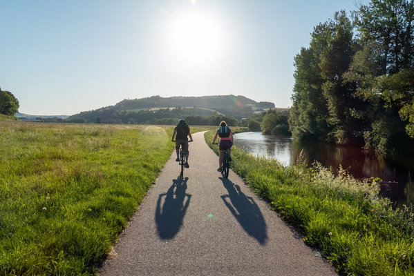
Couple of cyclists near Diekirch
-
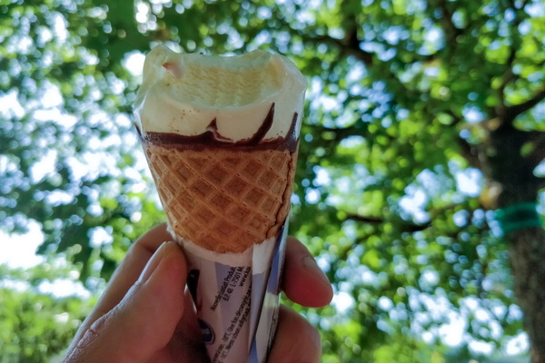
I scream for an ice cream
-
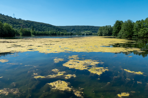
Echternach lake
-
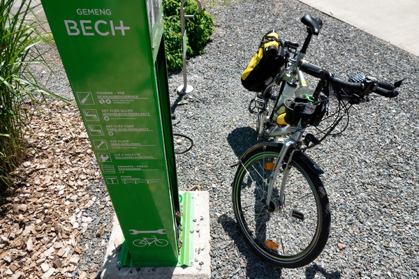
Bike station at Becher Gare
-
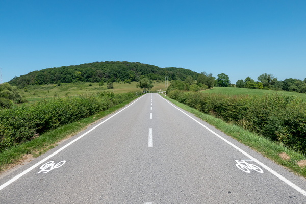
New cycling infrastructure near Junglinster
-
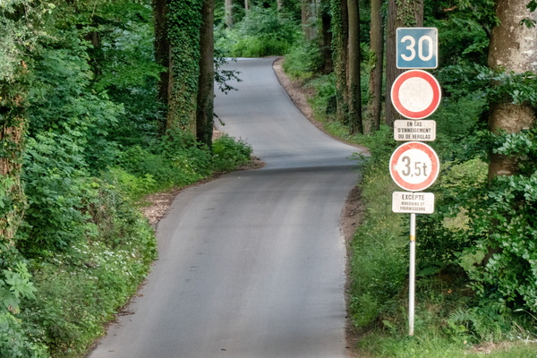
Totem
-
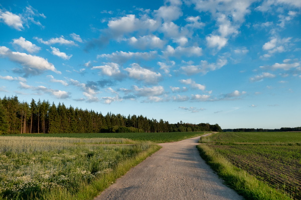
Gravel track North of Bridel
-
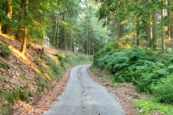
Gousselerbierg climb
-
Opened hard disk

-
Capitalism in the office

-
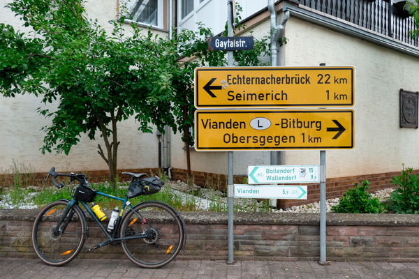
Unexpected cycling route
-
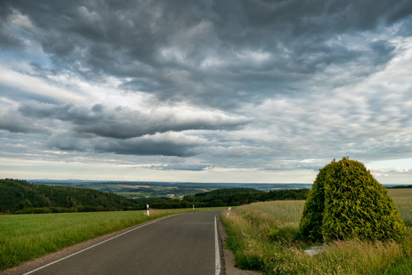
The Eifel near Kandlerhof
-
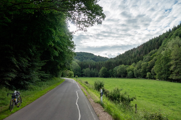
The Irsen valley
-
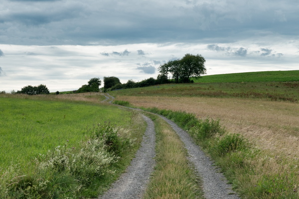
Climbing up in the Eifel
-
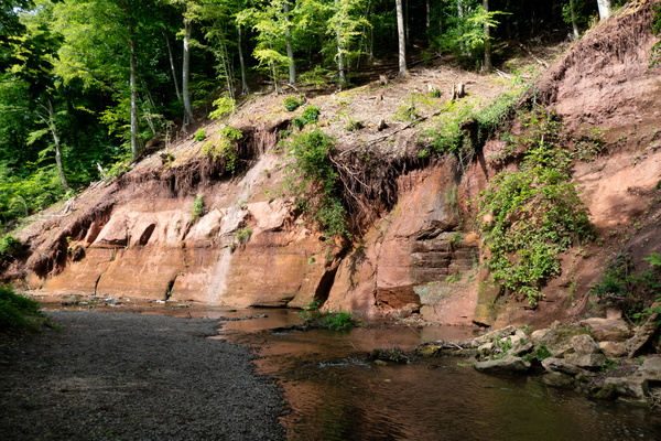
Roter Puhl
-
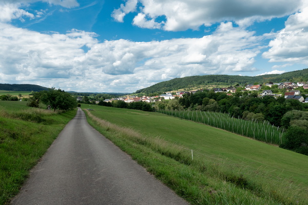
Prümtal Radweg
-
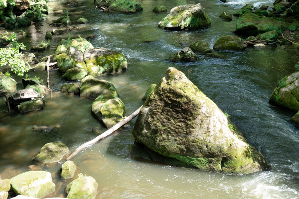
Irrel waterfall
-
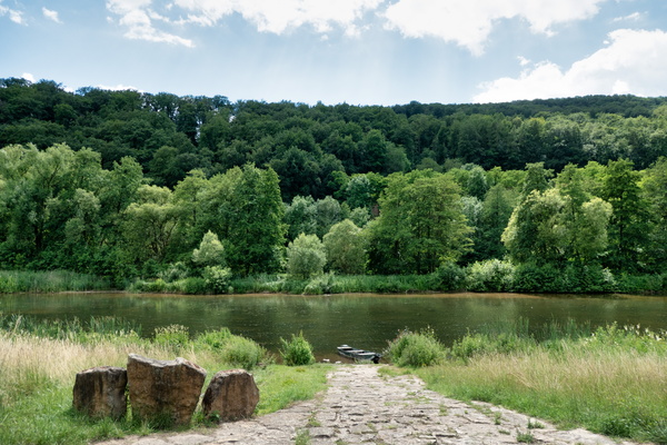
Sauer river
-
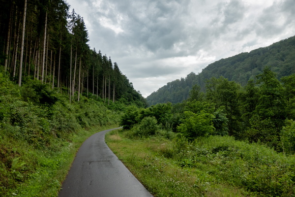
Kylltag-Radweg near Auw an der Kyll
-
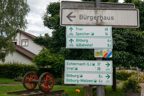
Cycling directions in Erdorf
-
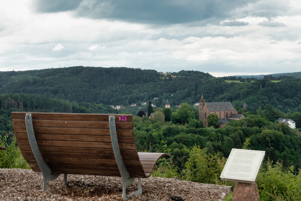
View on Kyllburg
-
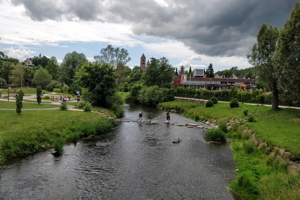
The Kyll river in Gerolstein
-
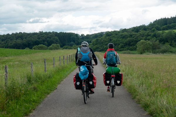
Cycling holidays
-
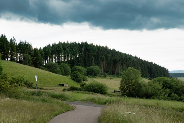
Eifel-Ardennen Radweg near Waldkönigen
-
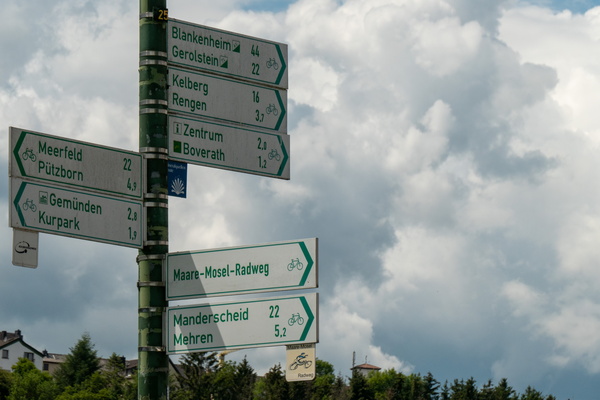
Cycling directions near Daun
-
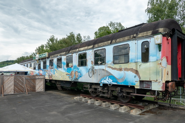
Train café in Daun
-
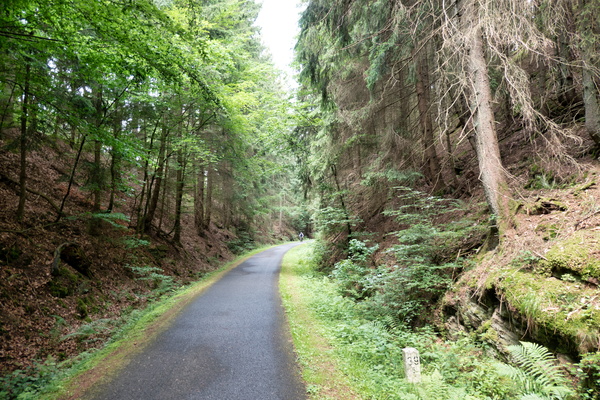
Maare-Mosel-Radweg near Daun
-
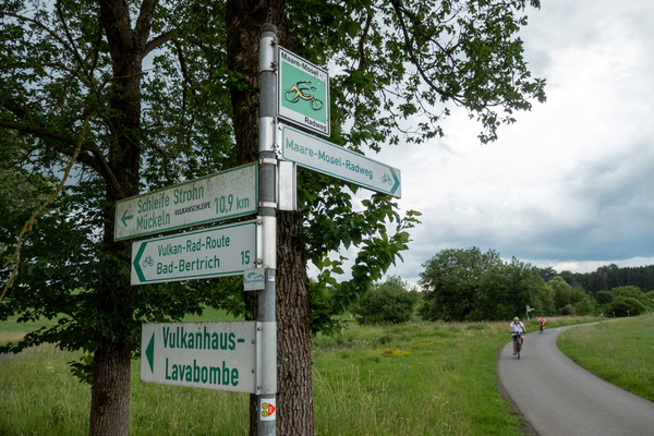
Cycling directions near Gillenfeld
-
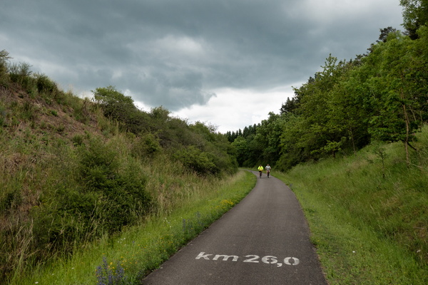
Kilometre 26 of the Maare-Mosel-Radweg
-
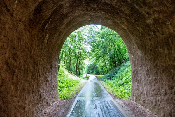
Cycling tunnel near Wittlich
-
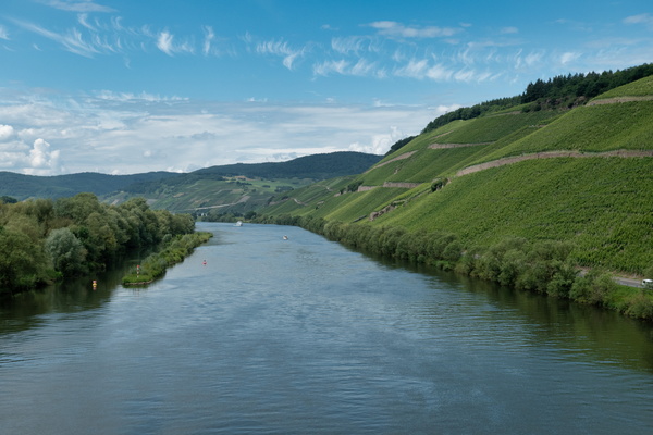
The Moselle near Bernkastel-Kues
-
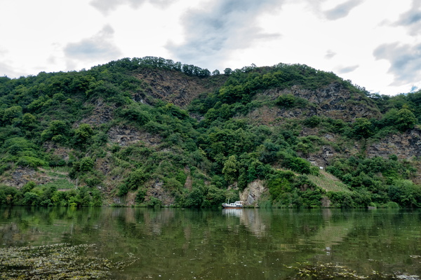
The Moselle near Bernkastel-Kues
-
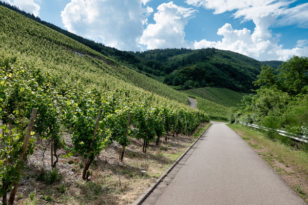
Moselle vineyards
-
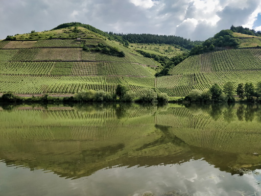
The Moselle river near Kirsch
-
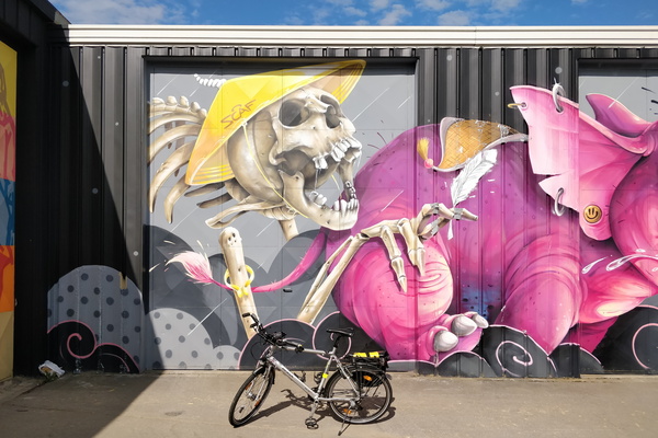
Mural in Leudelange
-
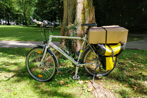
Quaxing
-
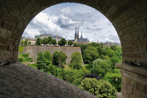
Under Pont Adolphe
-
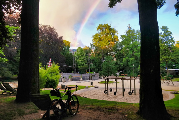
Rainbow in the park
-
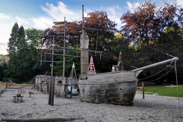
The pirate ship playground
-
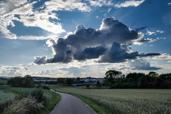
Some clouds near Bertrange
-
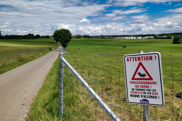
Warning sign
-
Office outfit of the day

-
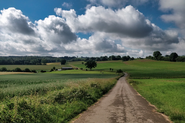
Hide and seek game between sun and clouds
-
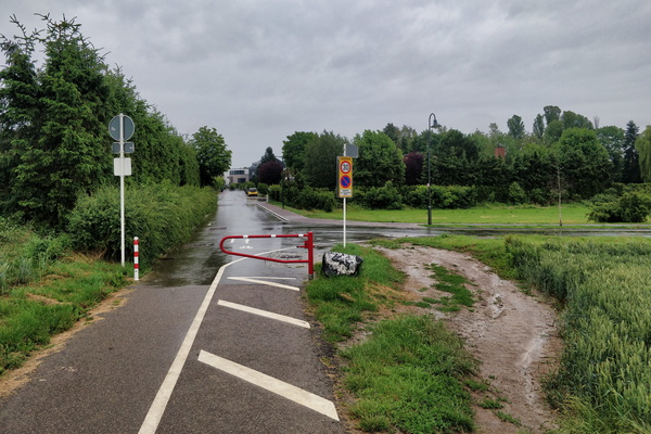
Barrier bypass
-
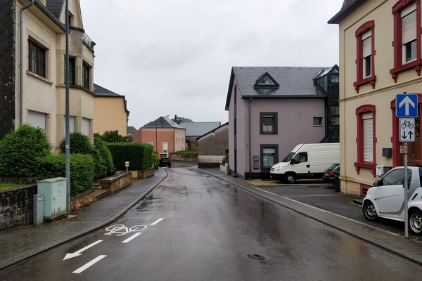
Rue de la Gare, Mamer
-
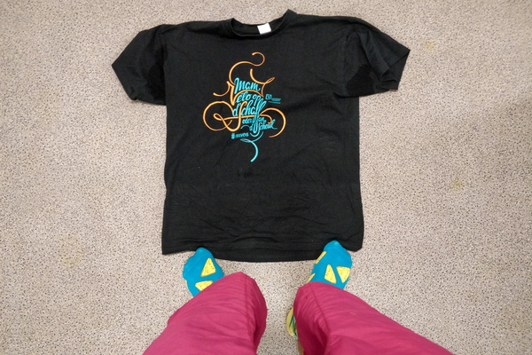
Office outfit of the day
-
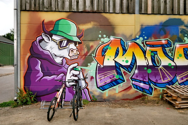
Mural at Bouferterhaff
-
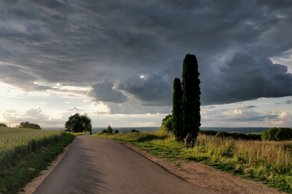
Clouds at the outlook
-
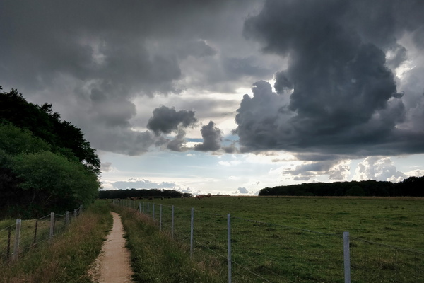
Falling sky?
-
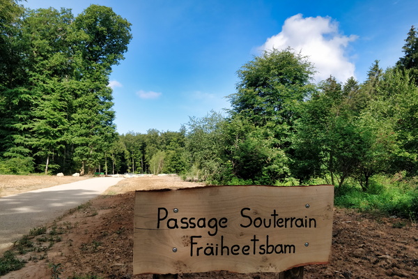
Fräheetsbam underpass sign
-
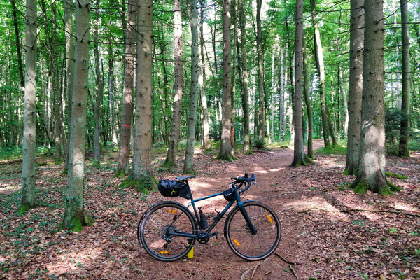
Morning commute in Bambësch
-
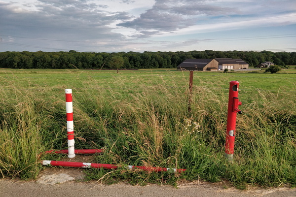
Swing gate won't swing anymore
-
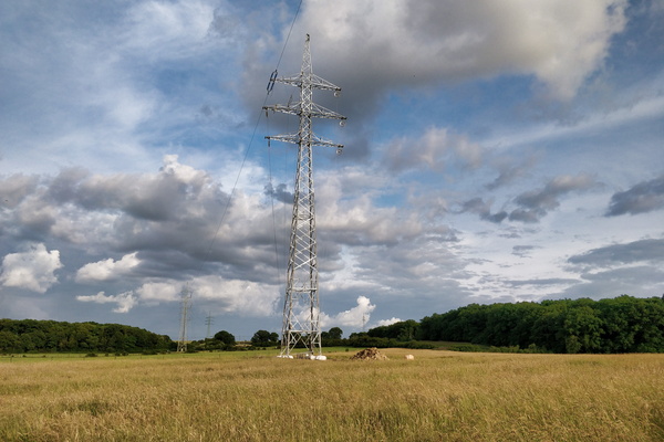
Pylon replaced following last year's tornado
-
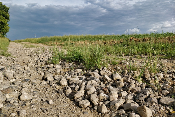
Cycling infrastructure in Koerich
-
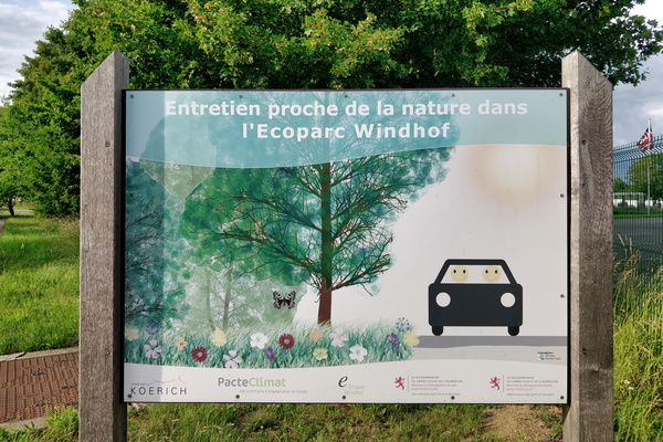
Ecoparc = happy in a car?
-
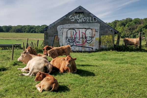
They don't care about our sick world
-
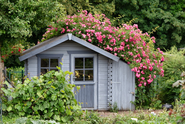
Garden shelter
-
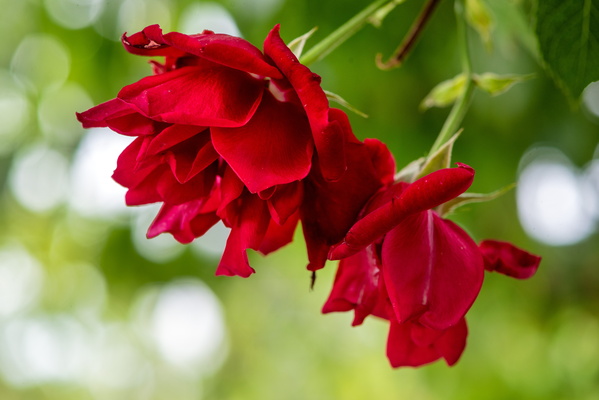
Rose
-
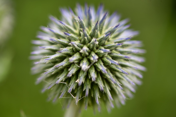
Blooming plant
-
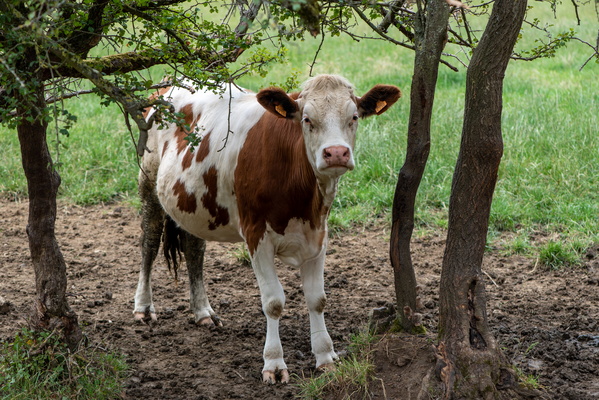
Cow trying to hide
-
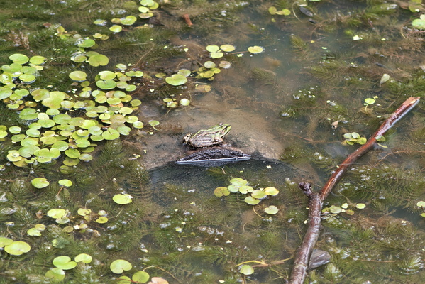
Swimming toad
-
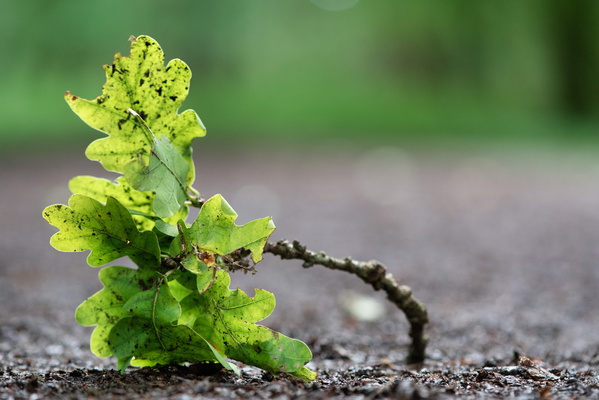
Oak leaves
-
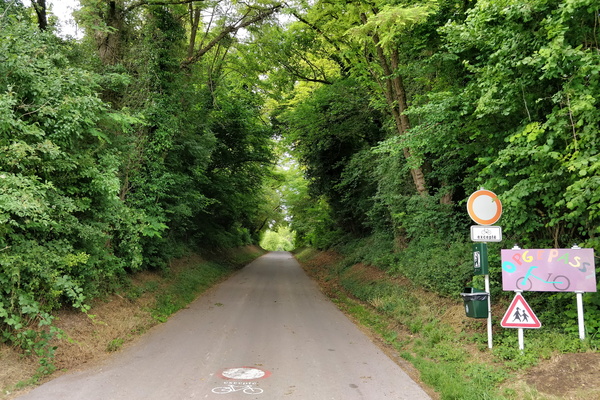
Opgepasst Vëlo
-
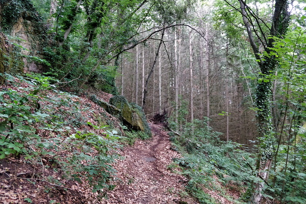
MTB trail Dalheim
-
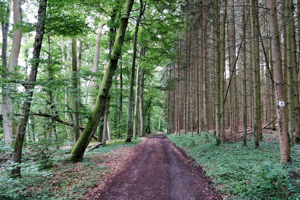
MTB trail Dalheim
-
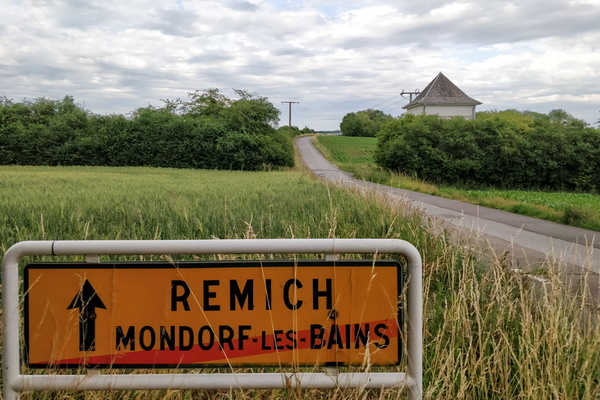
Getting out of Mondorf-les-Bains
-
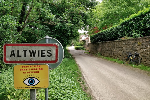
Altwies, in France...
-
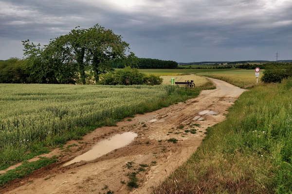
France/Luxembourg border
-
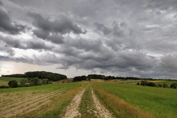
A few minutes before the thunderstorm
-
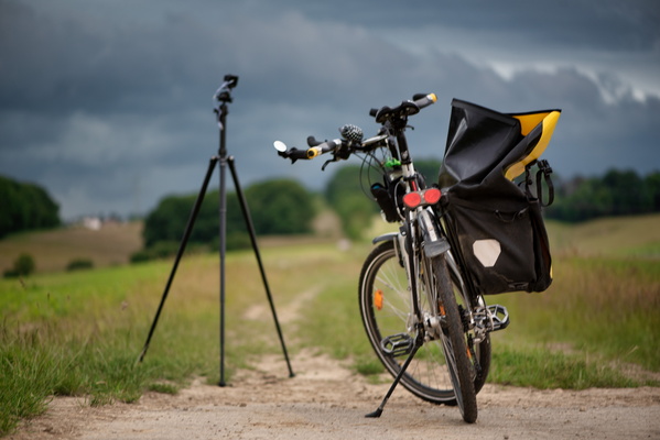
Time lapse shooting of the coming thunderstorm
-
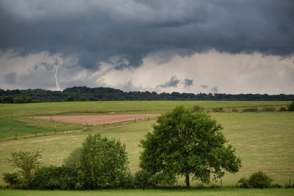
Thunderstorm!
-
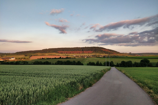
Golden hour near Betzdorf
-
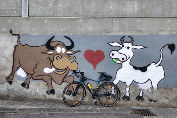
Mural in a farm in Flaxweiler
-
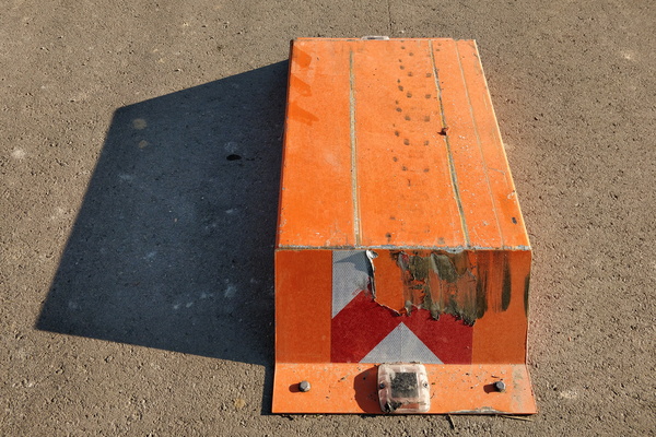
Car barrier near Moutfort
-
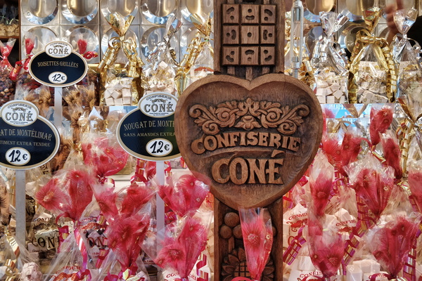
Sweet delights in Bertrange
-
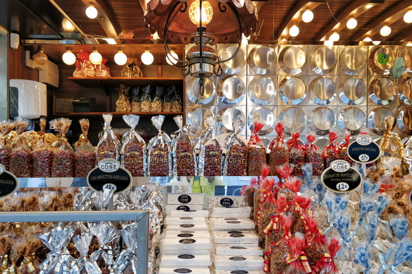
Sweet delights in Bertrange
-
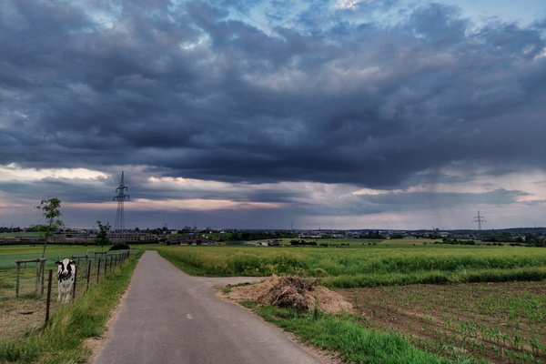
Showers in the area of Euro-School II
-
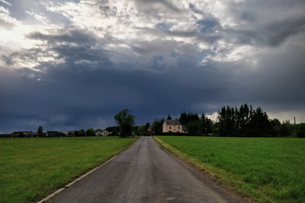
Wil the sky fall?
-
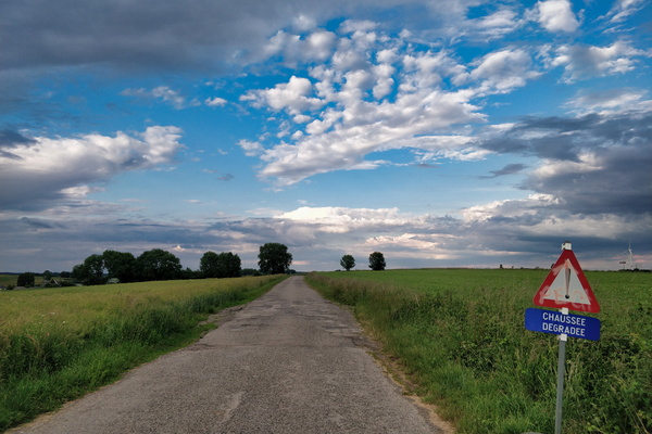
A road in Belgium
-
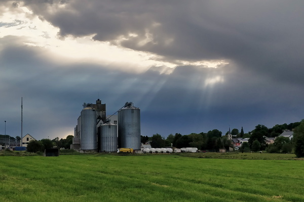
Moulin de Kleinbettingen
-
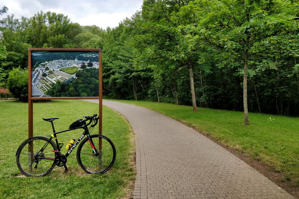
Colmar Berg park
-
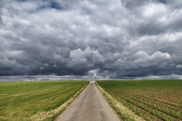
Threatening sky
-
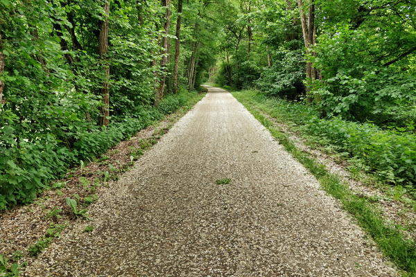
Snow? Petals!
-
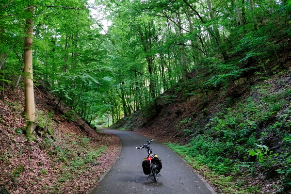
Piste cyclable d'Echternach
-
Crazy light in Junglinster
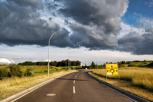
-
Back from bike shopping via PC 5
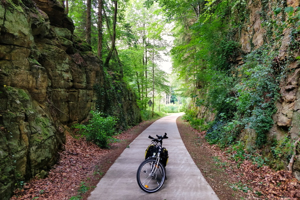
-
Arriving in Larochette
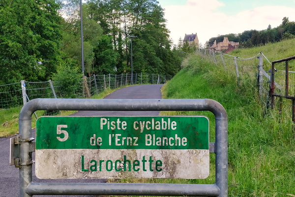
-
Just above Bettendorf
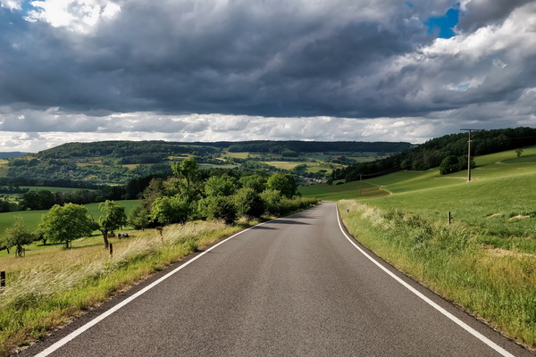
-
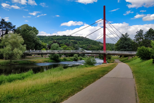
Bridge over PC 16 in Diekirch
-
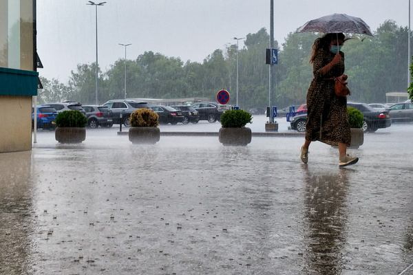
Seeking refuge
-
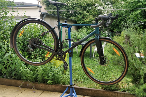
Bike cleaning and minor revision
-
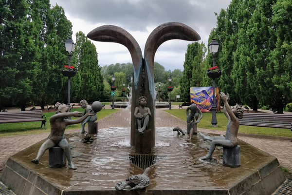
Fountain in Hesper Park
-
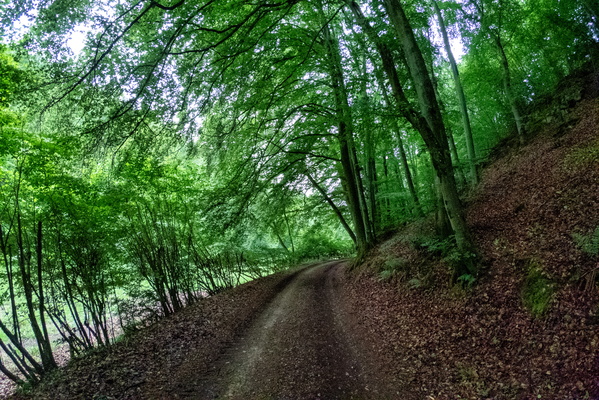
Syrdall VeloRoute near Syren
-
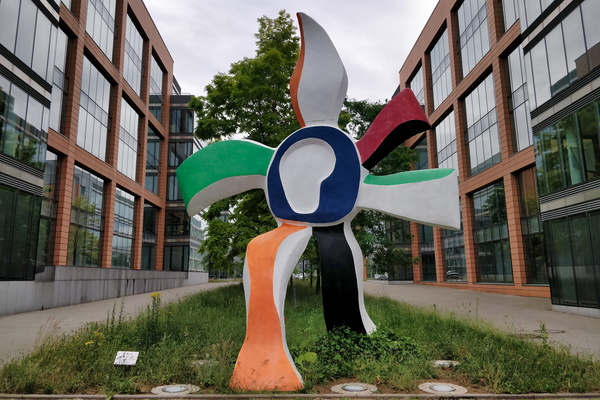
La Grande Fleur qui Marche
-
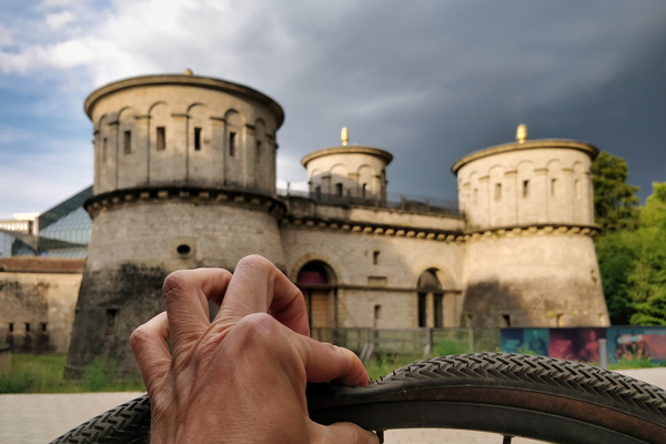
What a great place to fix a tyre puncture
-
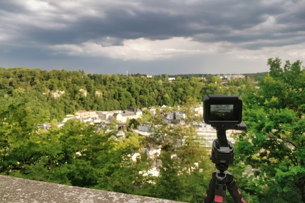
Making a time lapse movie of the coming thunderstorm
-
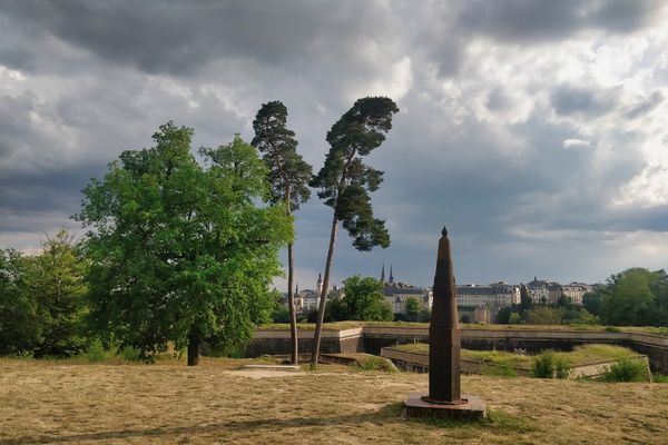
Waiting for the thunderstorm
-
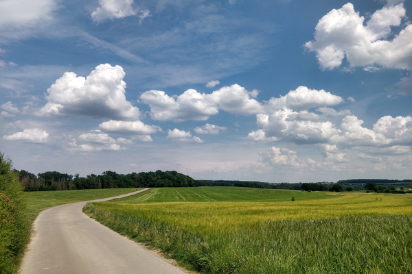
Several hours before the storm
-
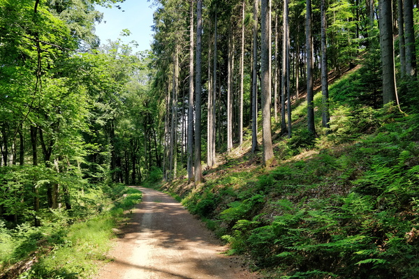
Mamerdal track
-
Mamerdal canyon

-
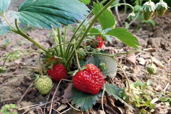
Journey to the garden
-
Journey to the garden
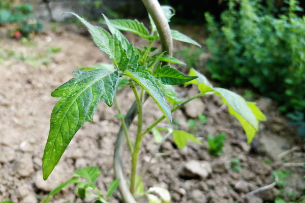
-
Journey to the garden
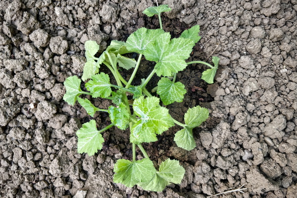
-
Paved track near Barnich, Arlon, Belgium
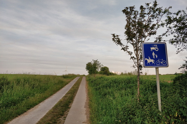
-
This is a bridge
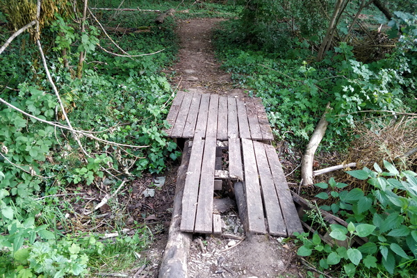
-
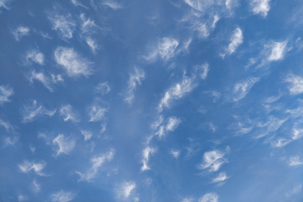
Interesting clouds
-
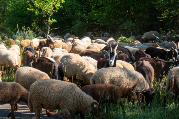
Goats and sheep
-
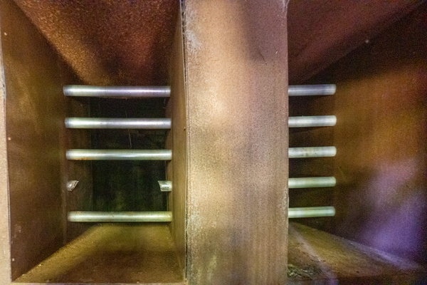
An intrusion into the mine
-
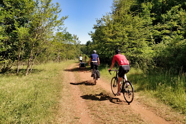
Cycling in Ellergronn
-
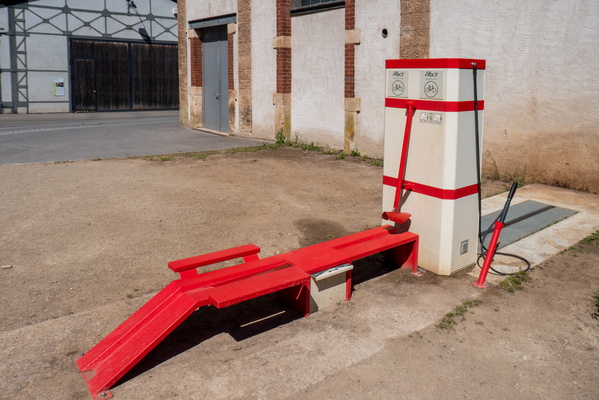
Bike wash station in Ellergronn
-
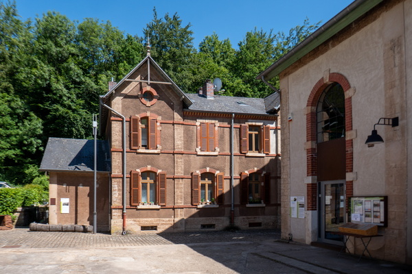
Ellergronn
-
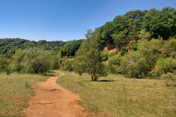
Land of the Red Rocks
-
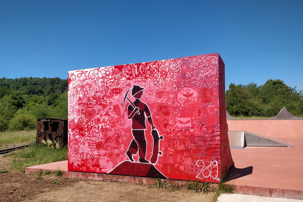
Painted skatepark in the Land of the Red Rocks
-
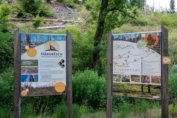
Härebësch information board
-
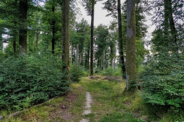
Path in Härebësch
-
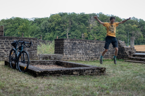
A stop at Villa Romaine in Goeblange
-
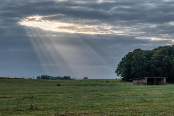
Sun rays through the clouds
-
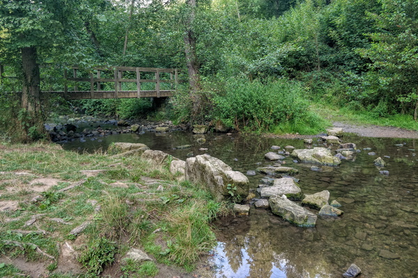
Drëps
-
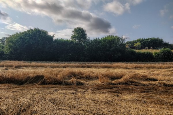
Wheat
-
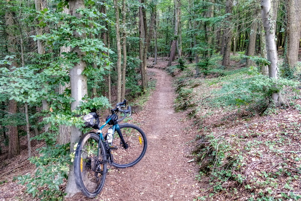
Morning commute to work via Bambësch
-
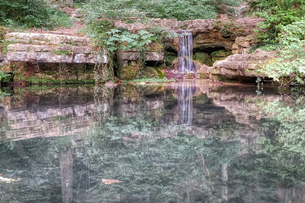
Hunnebur waterfall
-
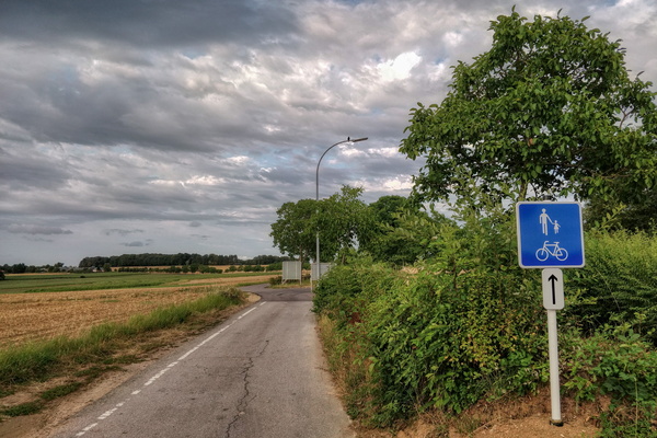
A non-mandatory cycleway/walkway
-
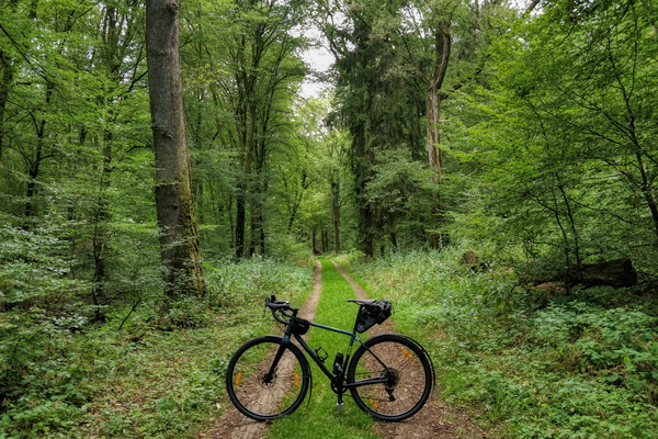
Lunch break in the forest
-
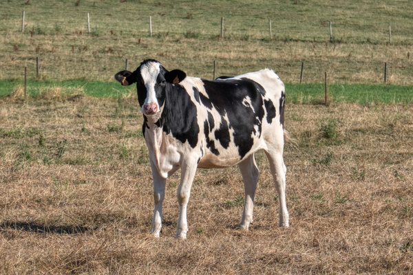
Cow looking at me
-
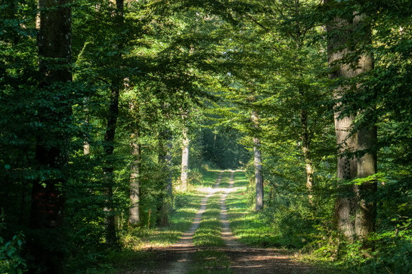
Track in the woods
-
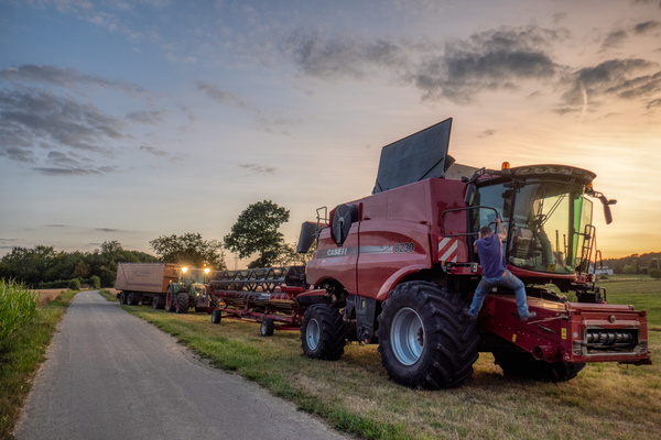
I feel tiny compared to this!
-
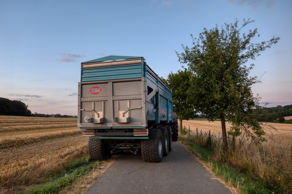
Traffic congestion
-
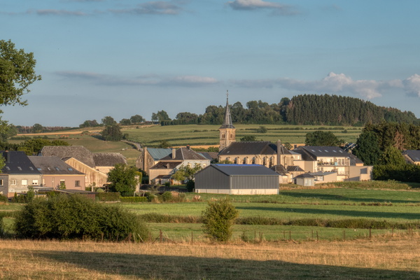
Kahler
-
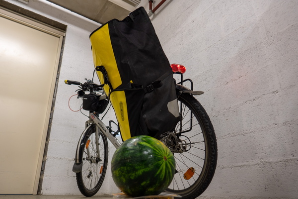
Who's stupid enough to carry watermelons on a bike? I AM and hav
-
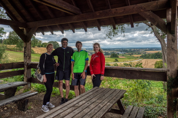
Group at viewpoint
-
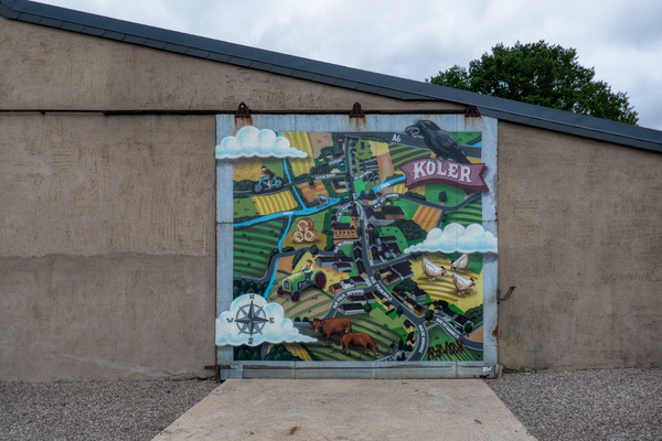
Make Koler Kooler: map
-
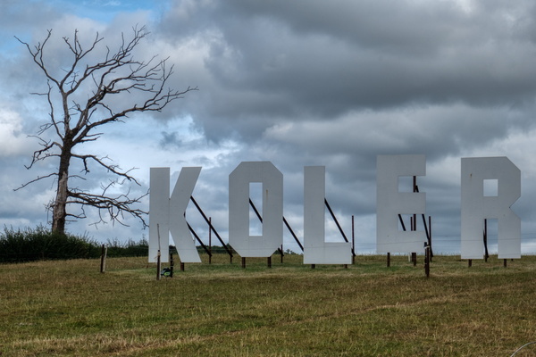
Make Koler Kooler
-
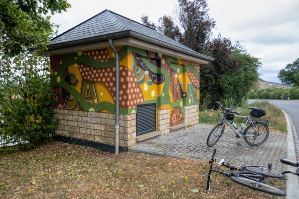
Make Koler Kooler
-
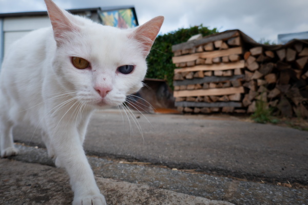
Odd-eyed cat
-
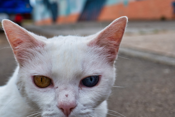
Odd-eyed cat
-
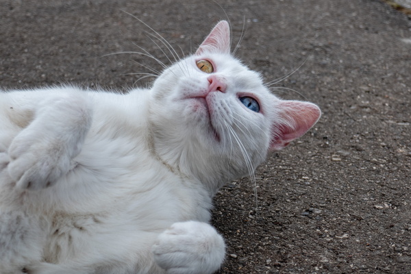
Odd-eyed cat
-
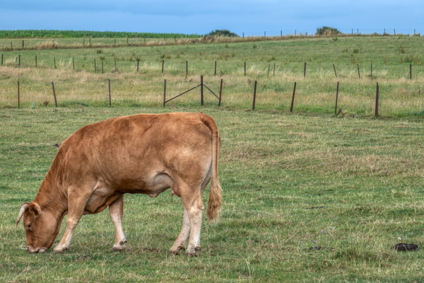
Cow
-
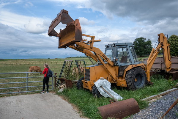
Just a vehicle
-
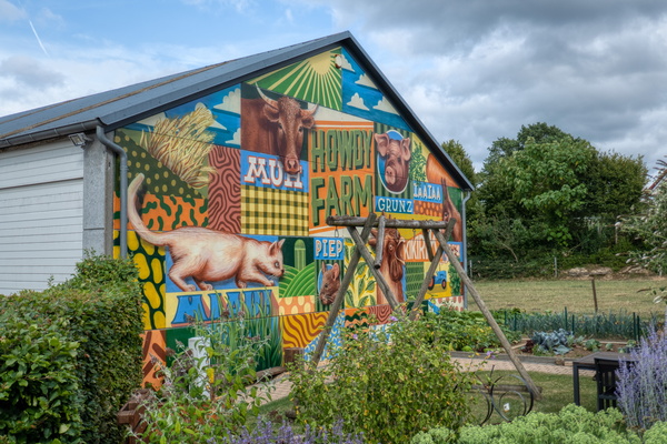
Make Koler Kooler
-
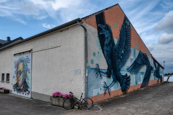
Make Koler Kooler
-
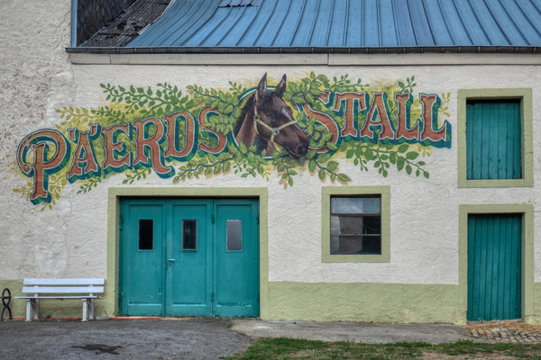
Make Koler Kooler
-
Kinoler

-
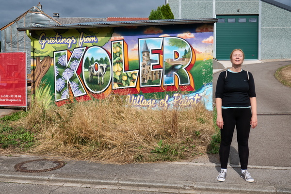
Make Koler Kooler
-
Make Koler Kooler

-
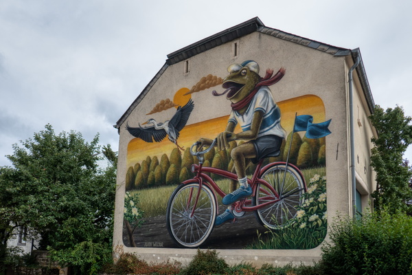
Make Koler Kooler
-
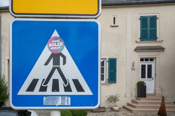
Make Koler Kooler sticker
-
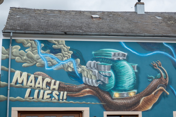
Make Koler Kooler
-
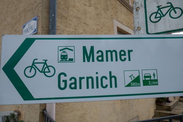
Cycling sign
-
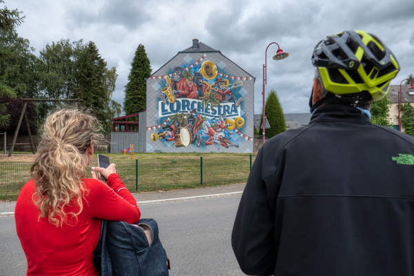
Make Koler Kooler
-
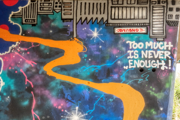
Make Koler Kooler
-
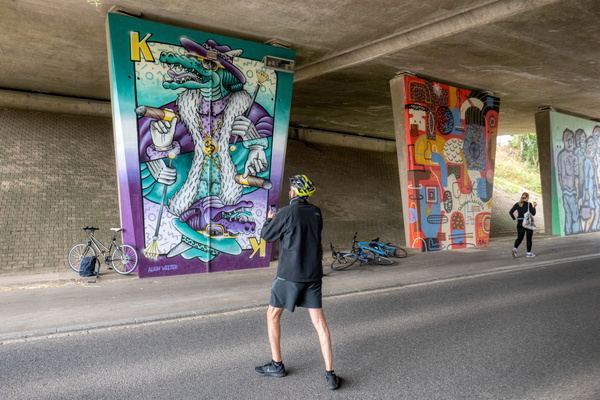
Make Koler Kooler
-
PC 13 near Garnich
