-
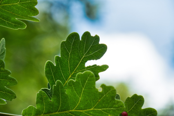
Oak leaves
-
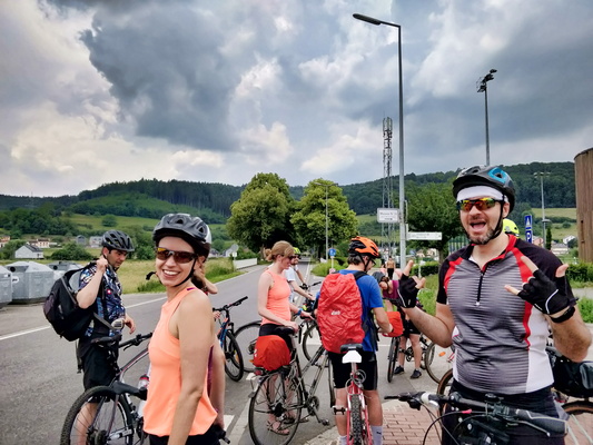
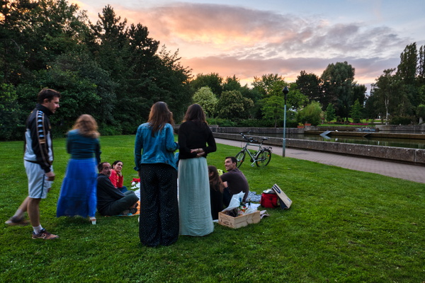
B:loft picnic ride to Maison Néolithique
-
B:loft picnic ride to Maison Néolithique
-
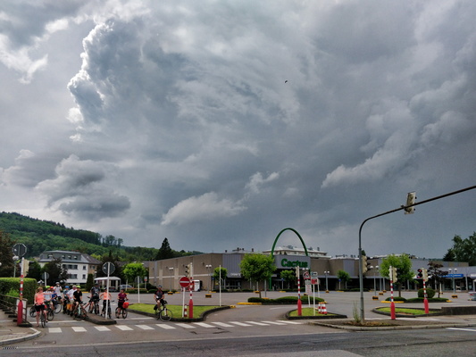
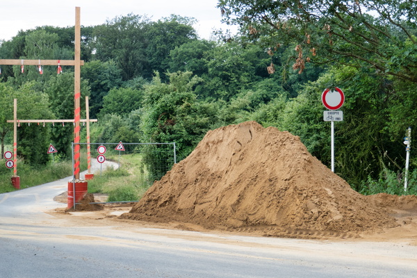
PC 10 closure
-
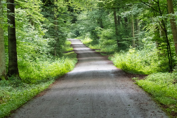
PC 9 in the forest
-
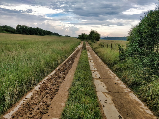
Dirty track
-
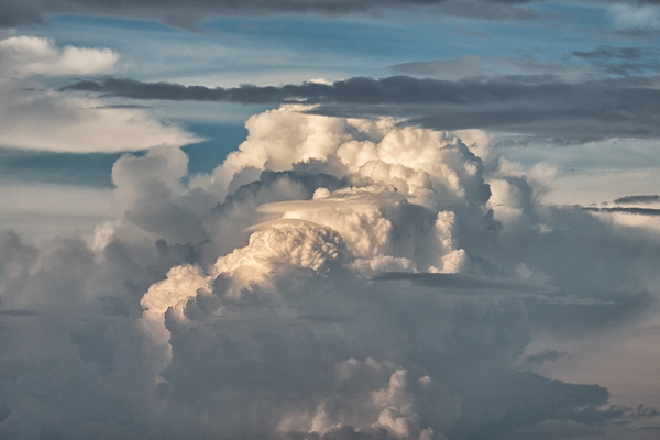
Thunderstorm cloud
-
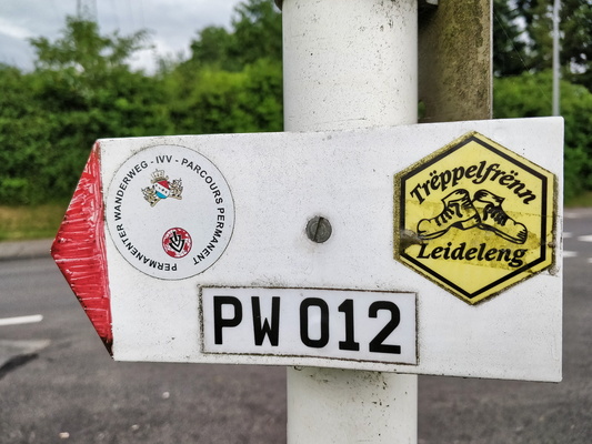
PW 012
-
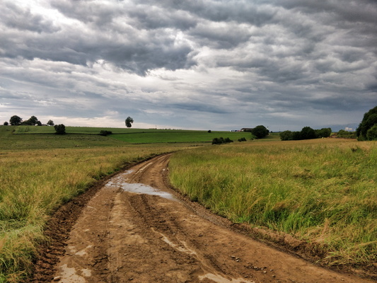
This is a paved road
-
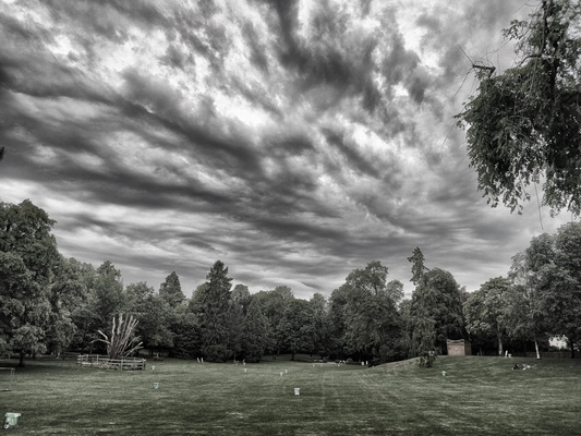
Threatening sky in the city park
-
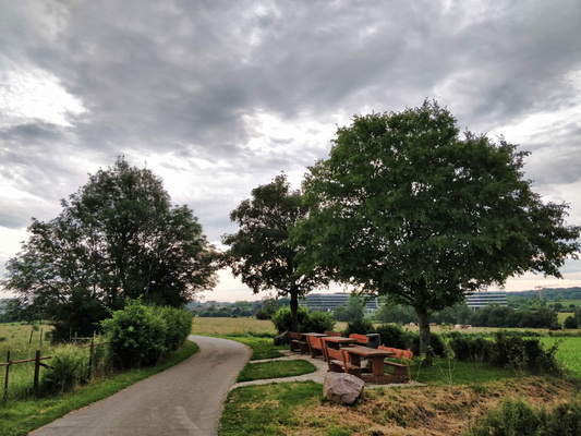
Picnic site in Cessange
-
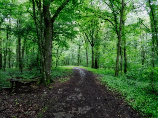
After work: back to the forest
-
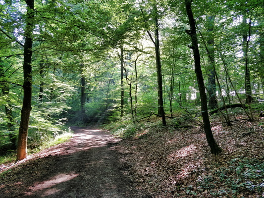
Morning ride to work in Bertrange's forest
-
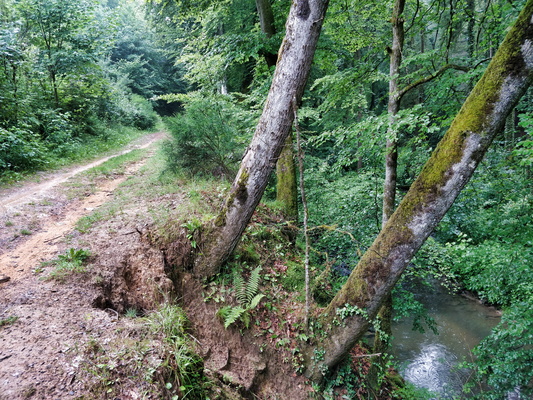
Trees at an angle
-
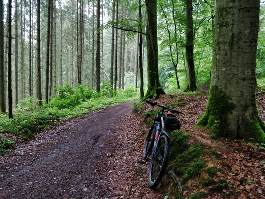
Cycling in the forest
-
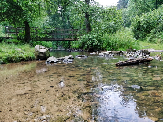
Drëps picnic place
-
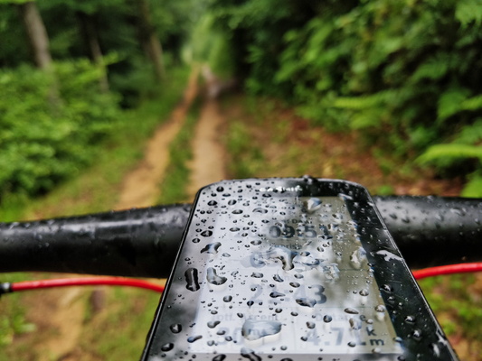
It's a rainy day
-
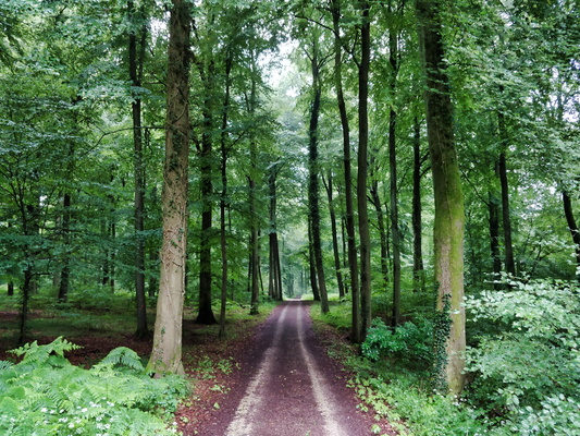
Forest track between Strassen and Bridel
-
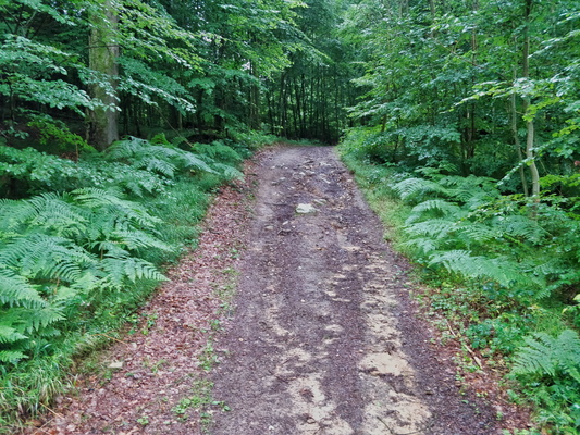
Steep but short climb
-
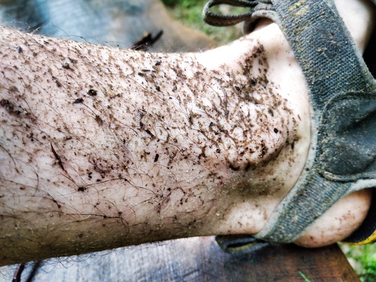
Dirty feet
-
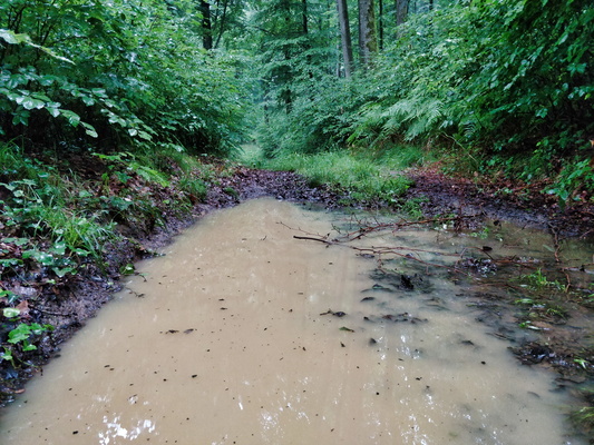
Puddle
-
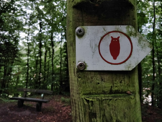
Owl hiking trail
-
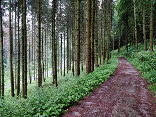
Bambësch near Rollingergrund
-
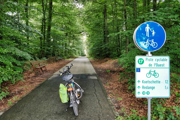
PC 17 between Niederpallen and Redange
-
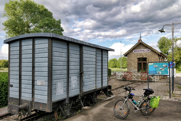
Former train station in Niederpallen
-
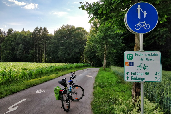
PC 17 between Rambrouch and Redange
-
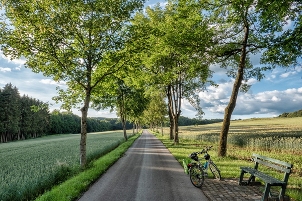
PC 17 between Redange and Rambrouch
-
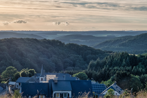
View over the Upper-Sûre valley
-
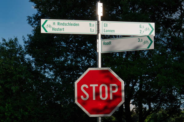
Where PC 17 meets several local cycling routes
-
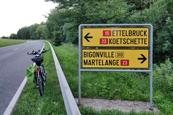
Road directions near Bilsdorf
-
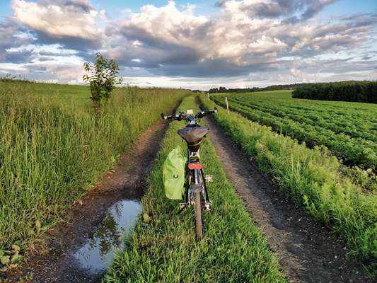
Track from Bilsdorf to return to the road
-
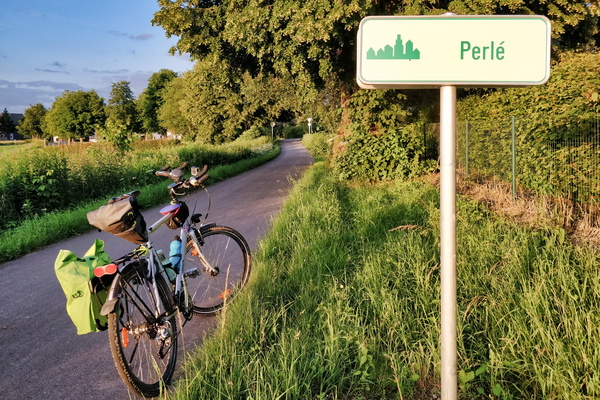
Welcome to Perlé
-
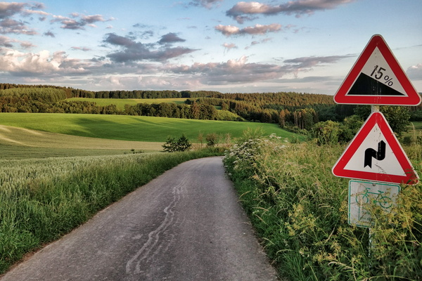
PC 18 near Flatzbour
-
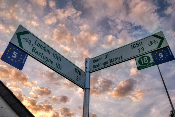
All ways lead to Rome
-
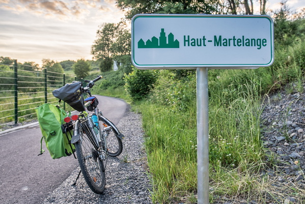
Welcome to Haut-Martelange
-
Where PC 18 goes on the main road
-
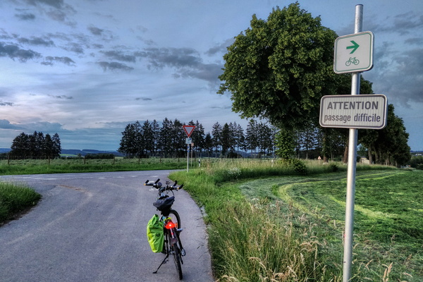
In the woods between Martelange and Perlé
-
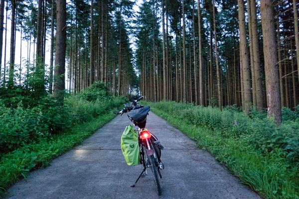
Local cycleway between Preizerdaul and Eschette
-
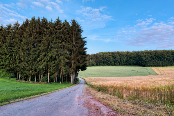
Moon
-
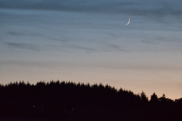
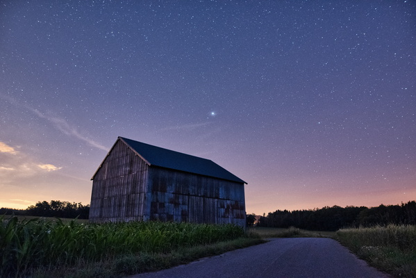
Barn on PC 12 between Bissen and Boevange/Attert
-
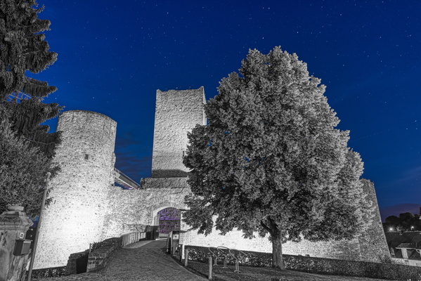
Useldange Castle
-
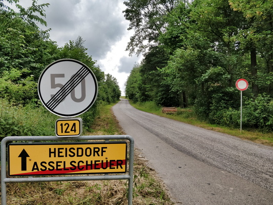
Restricted secondary road out of Asselschuer
-
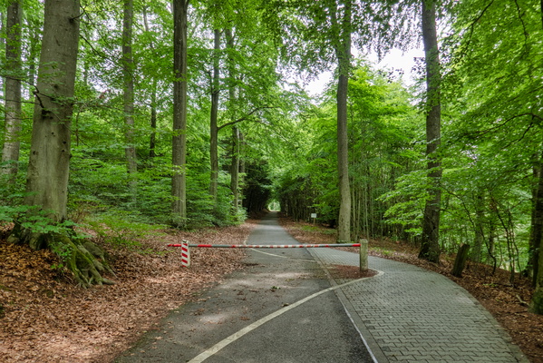
Access gate on PC 2 near Senningerberg
-
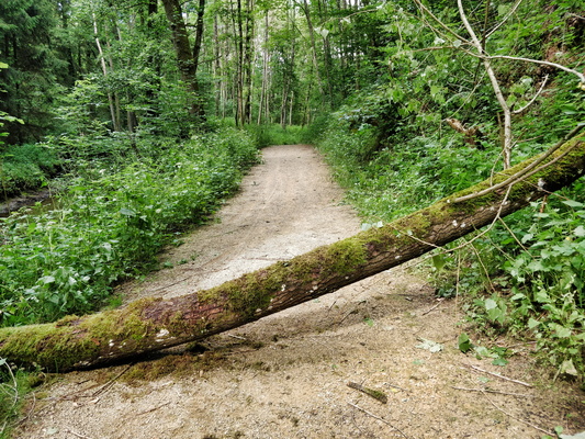
Get out of my way!
-
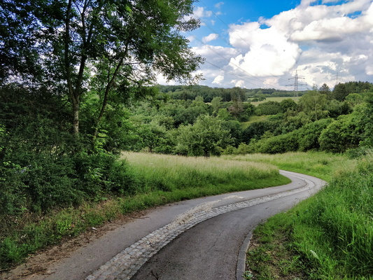
Behind Belle Étoile
-
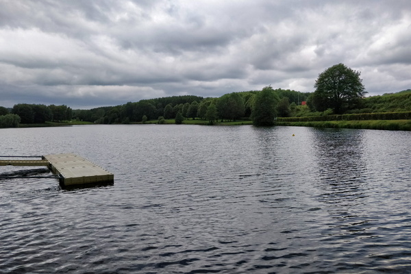
Weiswampach lake
-
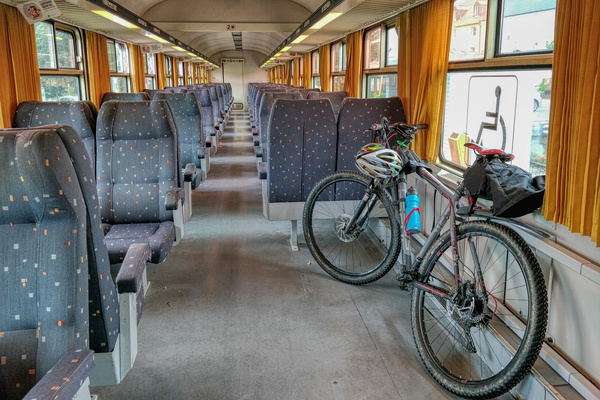
Catching the train to ride in the North
-
One of the privileges of riding a bike: challenge accepted
-
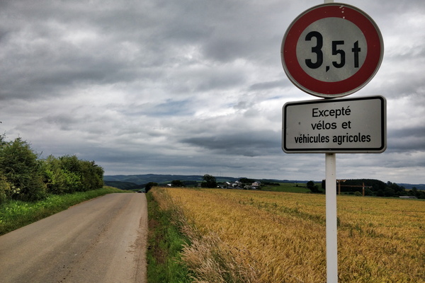
Welcome to the German speaking part of Belgium
-
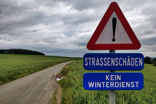
(H)Ouren
-
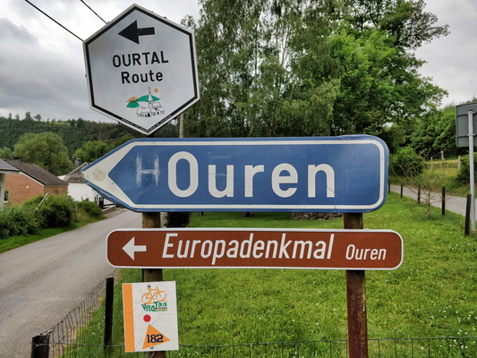
Ourtal from above
-
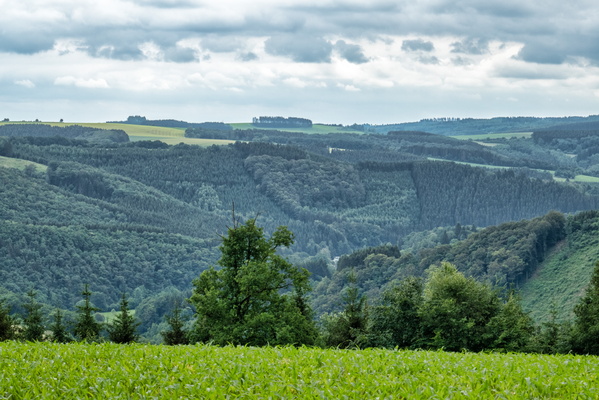
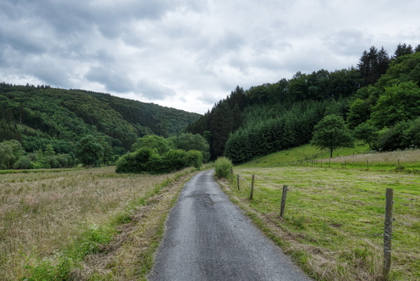
Ourtal near Trois-Frontières
-
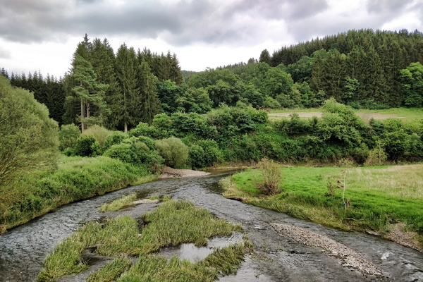
Our river in Ouren
-
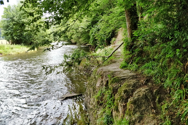
Tough path
-
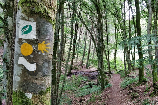
Hiking trail in Ourtal near Moulin de Kalborn
-
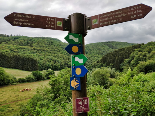
Hiking directions near Tintesmillen
-
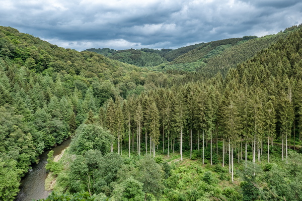
Kasselslay Viewpoint
-
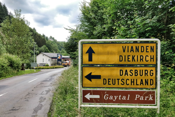
Petrol station next to the German border
-
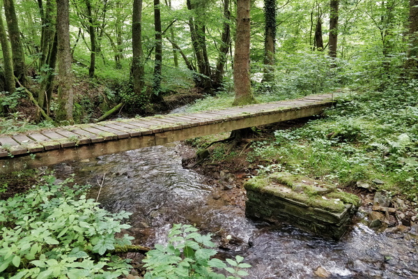
Wooden bridge near nowhere
-
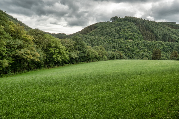
Grasslands in Ourtal near Parc Hosingen
-
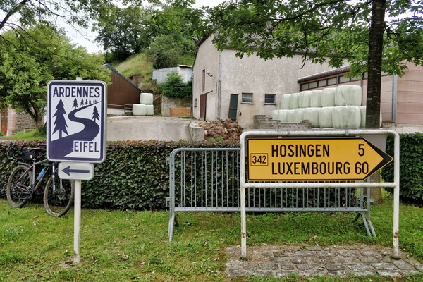
Ardennes-Eifel route
-
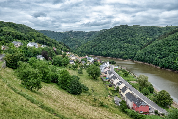
View over Bivels
-
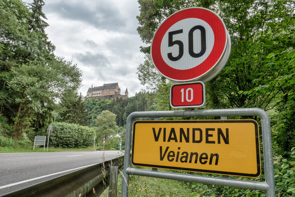
Vianden and its castle
-
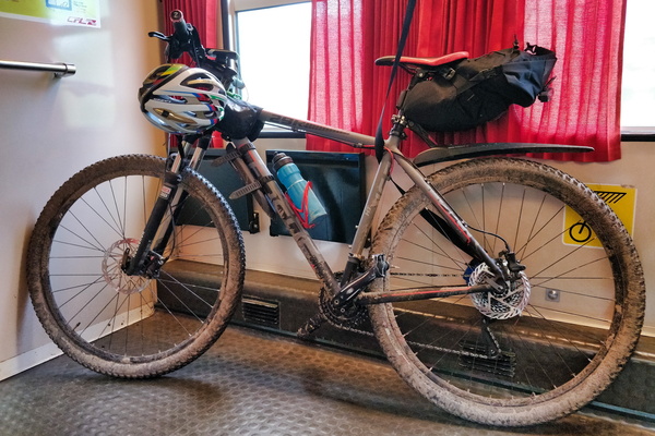
Dirty bike after the ride along Ourtal from North to South
-
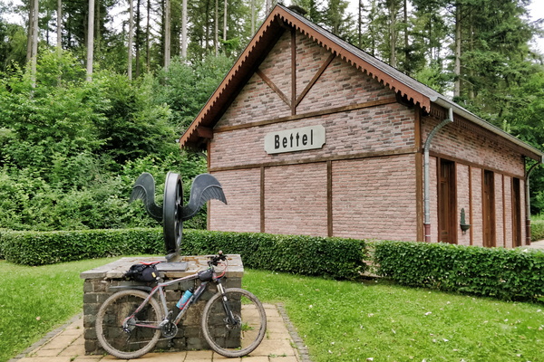
Bettel former train station
-
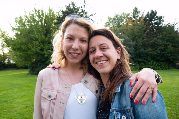
Ruth farewell
-
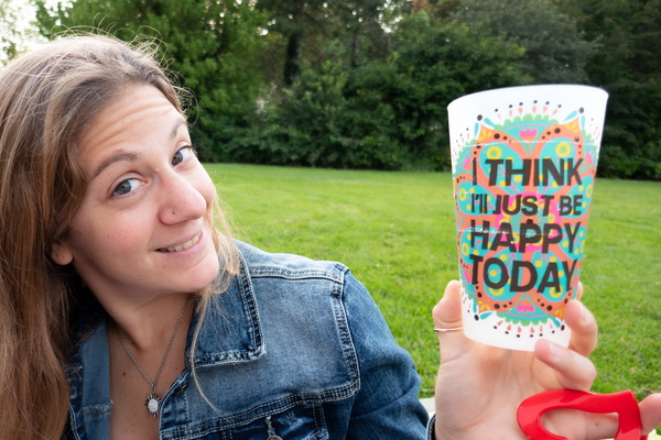
Ruth farewell
-
Ruth farewell
-
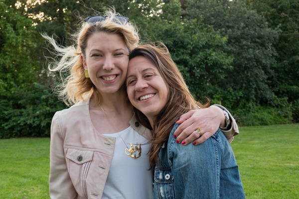
Ruth farewell
-
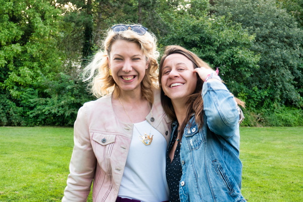
Ruth farewell
-
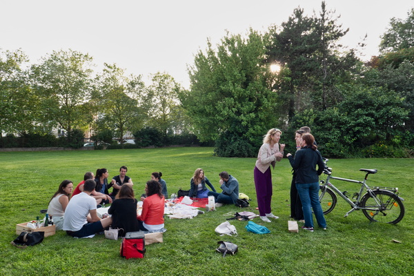
Ruth farewell
-
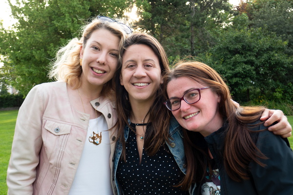
Ruth farewell
-
Ruth farewell
-
Ruth farewell
-
Ruth farewell
-
Ruth farewell
-
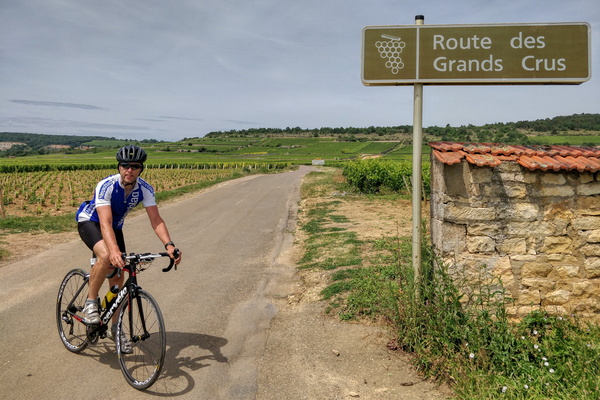
Cycling in Burgundy
-
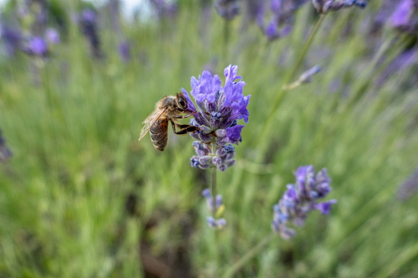
Honey bee on lavender
-
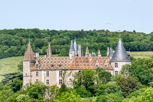
Domaine du château de La Rochepot
-
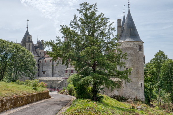
Domaine du château de La Rochepot
-
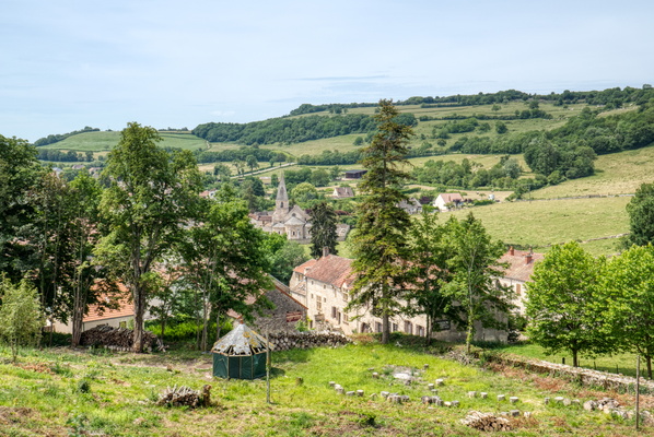
Cycling in Burgundy
-
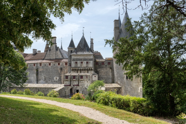
Domaine du château de La Rochepot
-
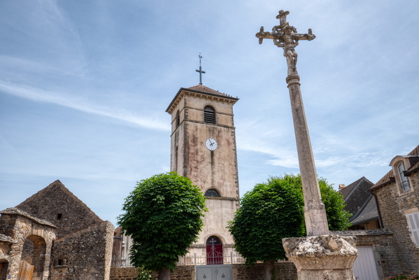
Cycling in Burgundy
-
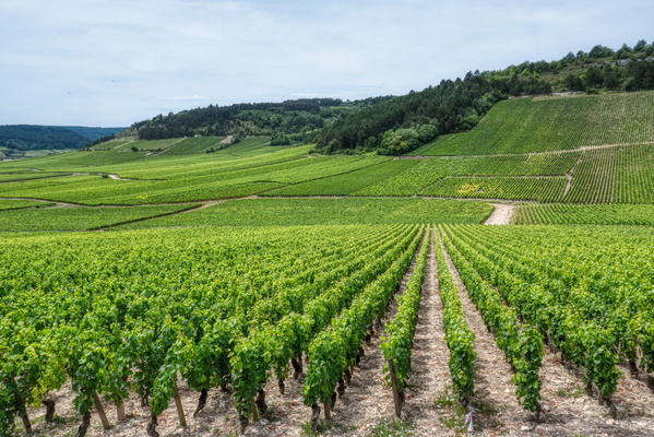
Cycling in Burgundy
-
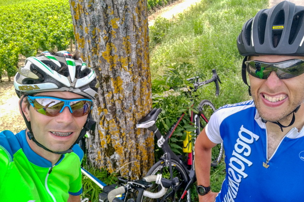
Cycling in Burgundy
-
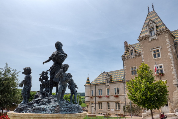
Cycling in Burgundy
-
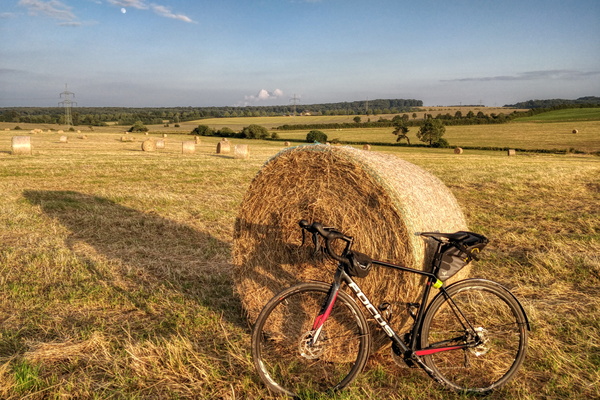
Haystack near Bertrange at golden hour
-
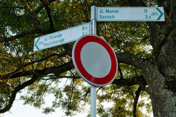
Cycling directions in Hivange
-
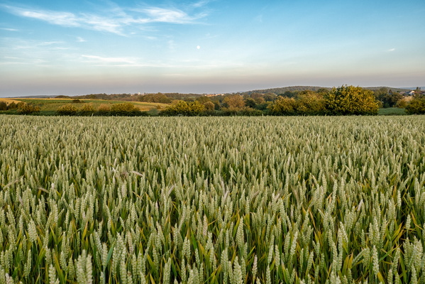
Field near Hivange
-
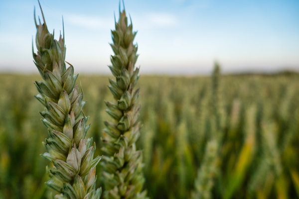
Wheat
-
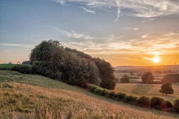
Sunset near Hivange
-
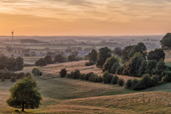
Viewpoint near Hivange
-
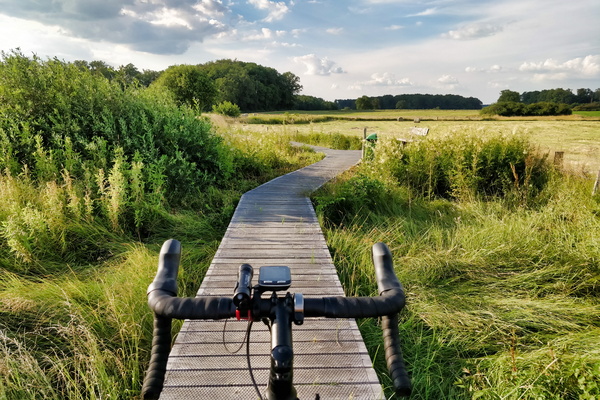
Cycling on wood near Windhof
-
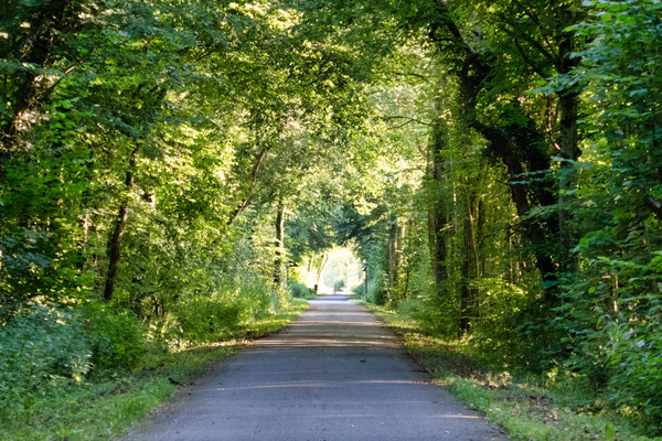
Tunnel of trees near Clemency
-
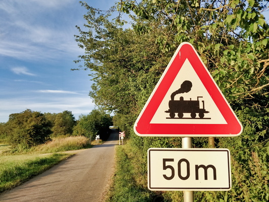
Steam train sign
-
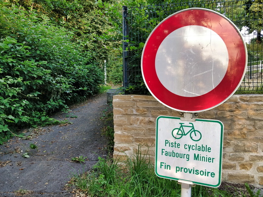
Temporary end
-
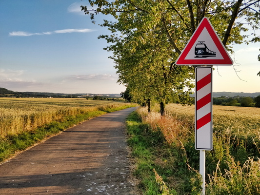
Electric train sign
-
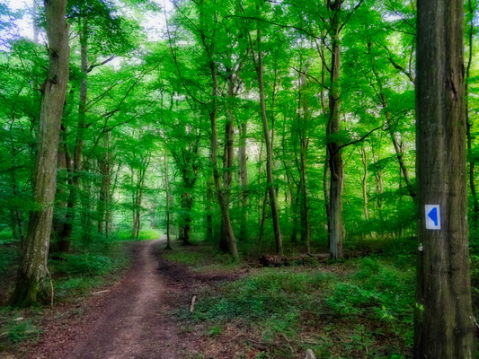
Autopédestre Roedgen hiking path
-
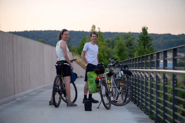
On the way to see the moonrise
-
The opposite direction of the sunset
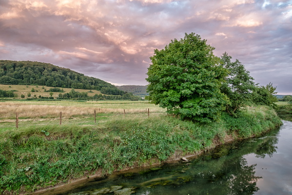
-
Before full Moon rise catching attempt
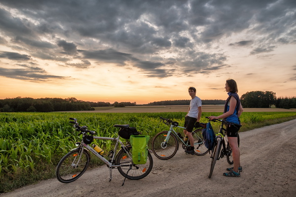
-
Track North of Bridel
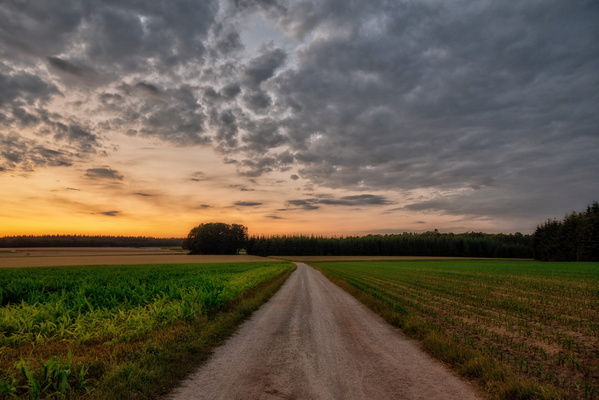
-
Moonrise occured behind the clouds
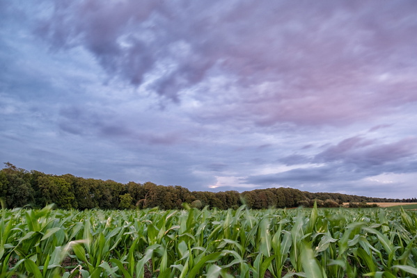
-
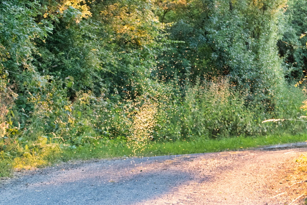
Flying ants
-
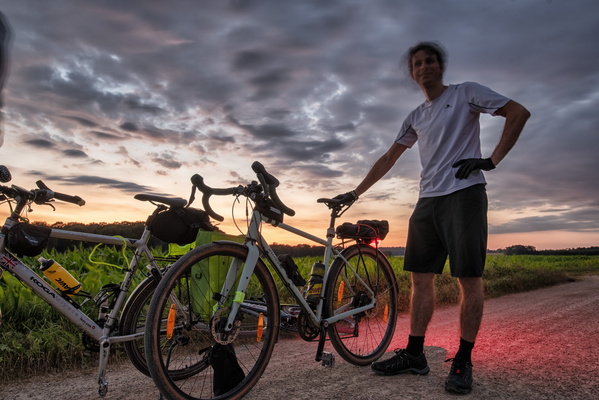
After failed full Moon rise catching attempt
-
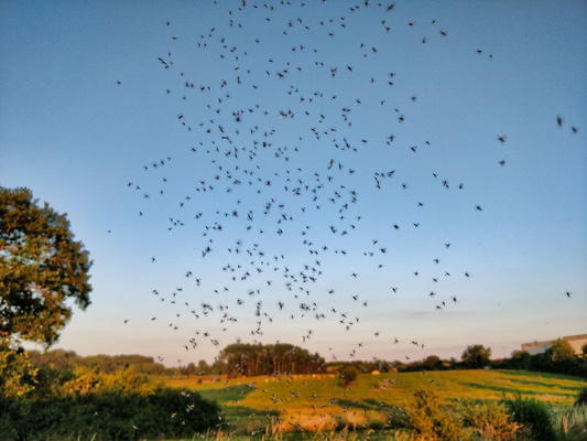
Flying ants
-
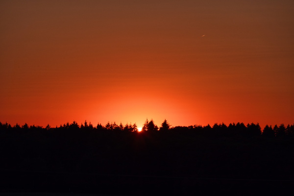
Sunset
-
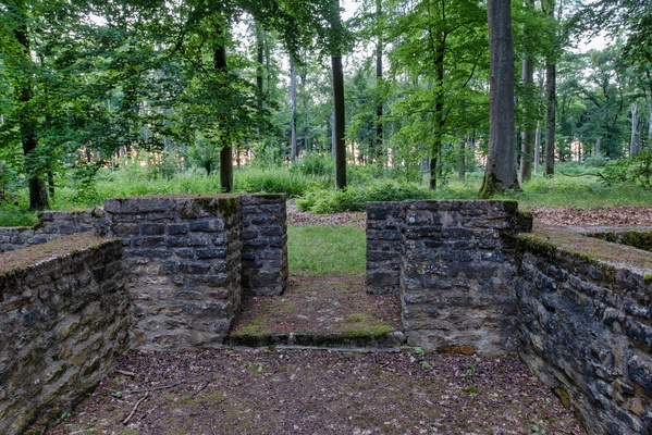
Villa Romaine Goeblange
-
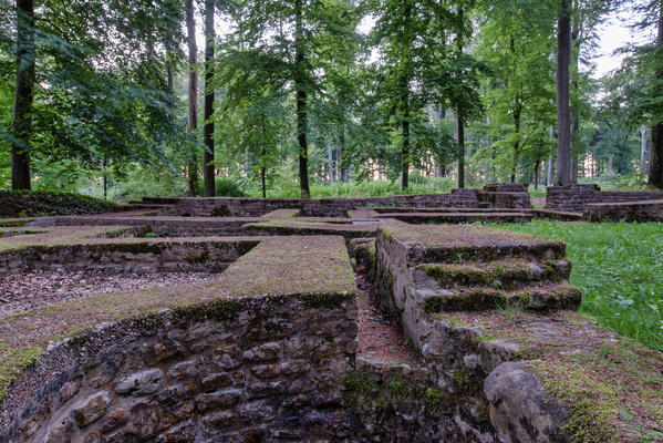
Villa Romaine Goeblange
-
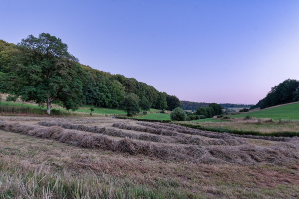
Grass harvesting
-
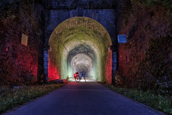
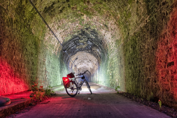
PC 12 Tunnel at night
-
PC 12 Tunnel at night
-
Thumb up
-
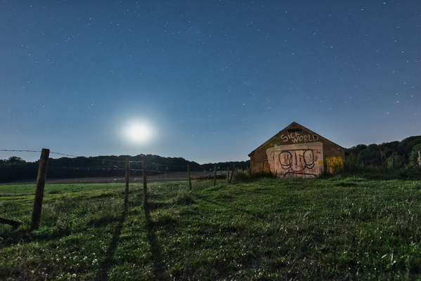
Sick World
-
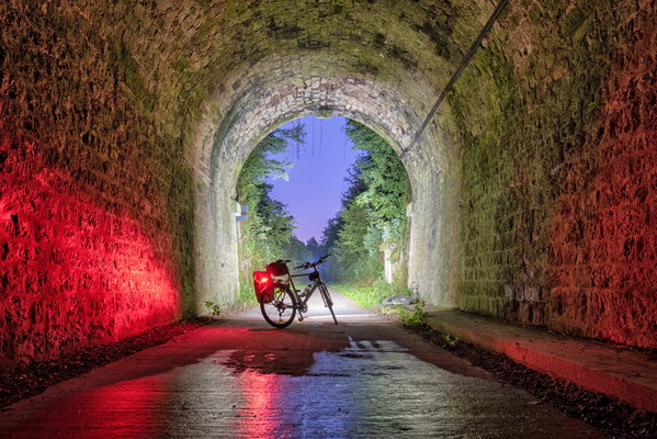
Twilight at the end of the tunnel
-
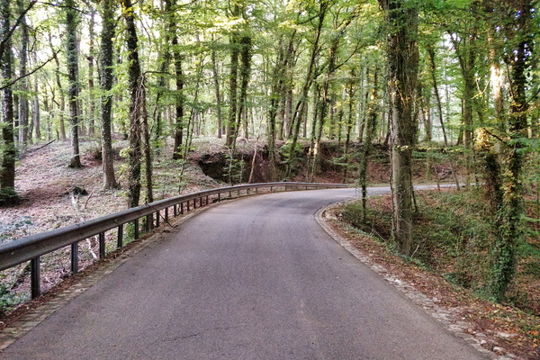
Forest road down to Schweich
-
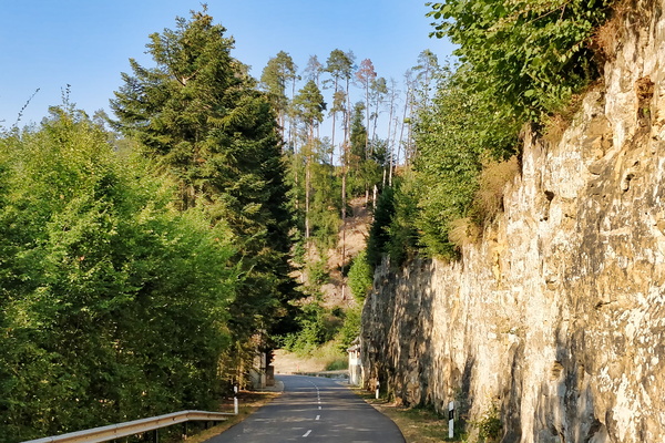
Valley of the Seven Castles near Koerich
-
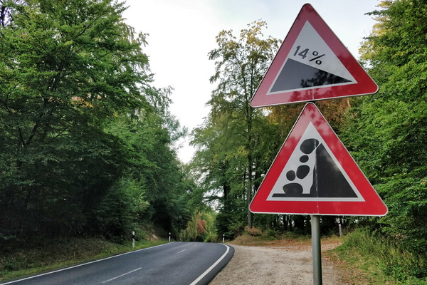
Rock'n'Roll
-
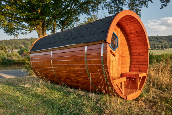
Barrel house
-
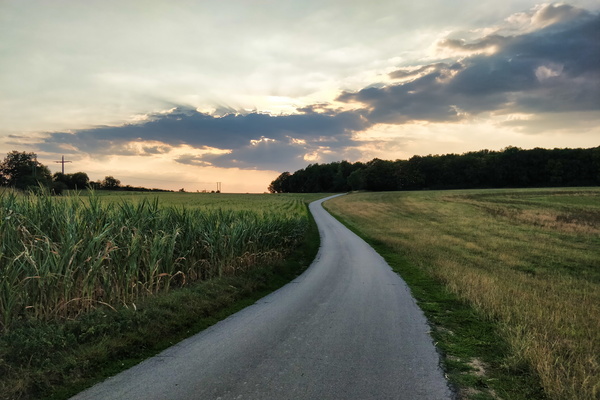
Dällchen West Tour near Useldange
-
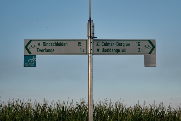
Dällchen West Tour fork from PC 12
-
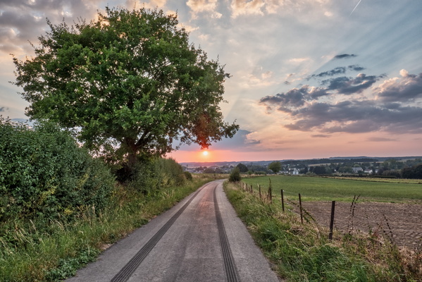
Sunset over Redange
-
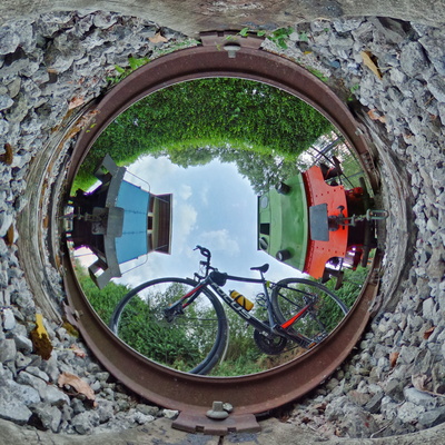
Niederpallen station panorama
-
Ready to go
-
Escaping from the heat
-
Alles op de Vëlo 2018
-
Alles op de Vëlo 2018
-
Alles op de Vëlo 2018
-
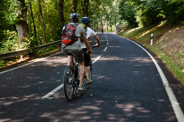
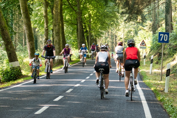
B:loft ride to Make Koler Kooler
-
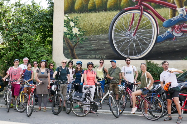
Alles op de Vëlo 2018
-
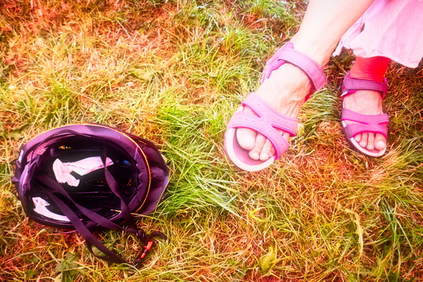
Feet, shoes and helmet
-
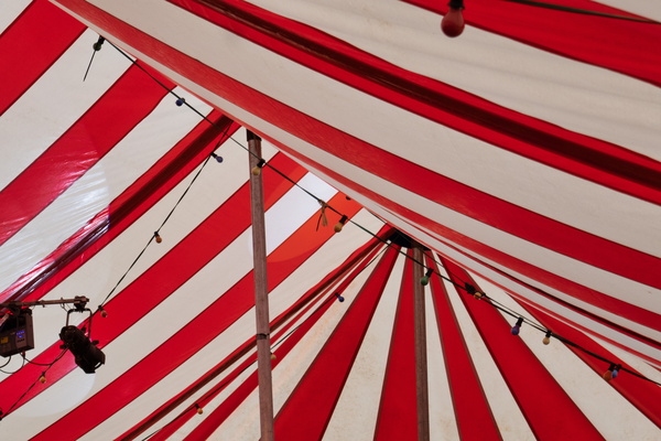
Tent roof
-
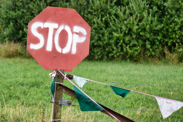
Stop what?
-
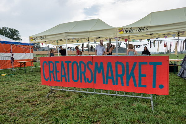
Creators market
-
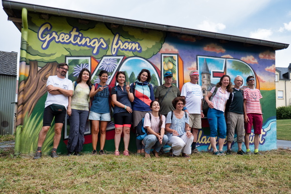
Greetings from Koler
-
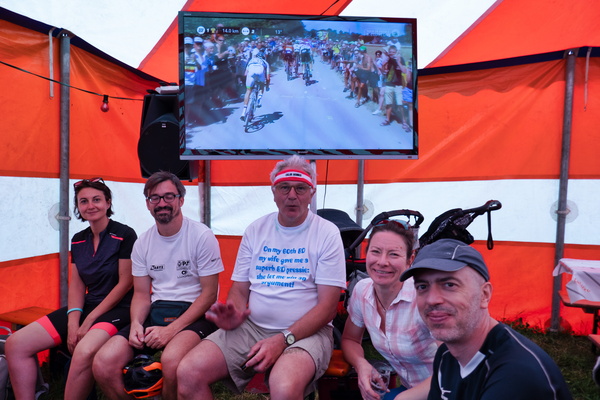
During the thunderstorm
-
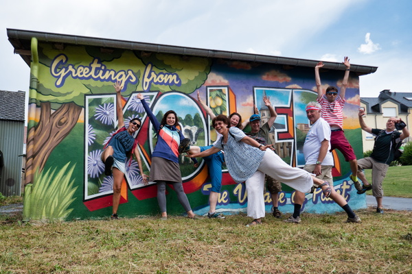
Greetings from Koler remix
-
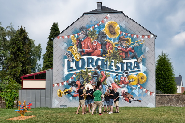
L'Orchestra
-
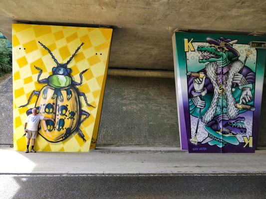
Under the motorway
-
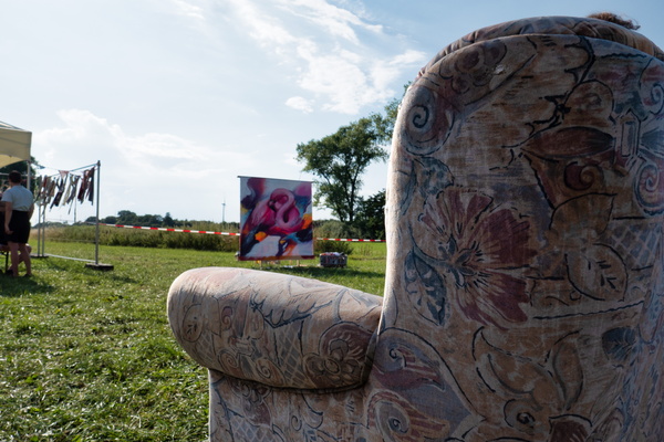
Armchair
-
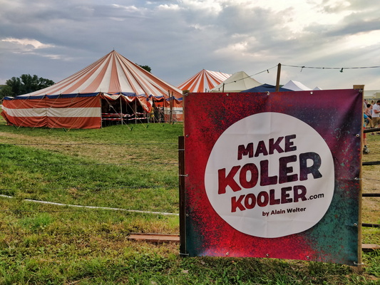
Make Koler Kooler
-
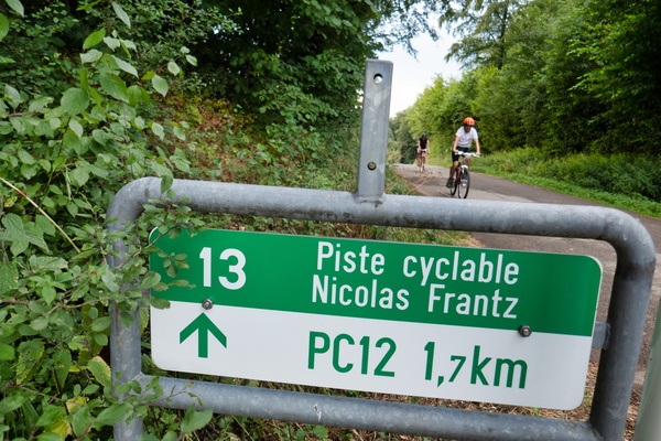
The end of the climb
-
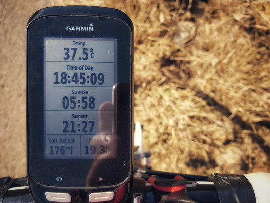
Cycling on a hot day
-
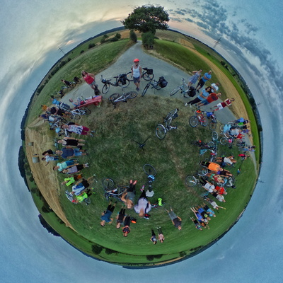
Meetup panorama
-
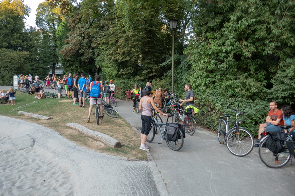
Cycling meetup
-
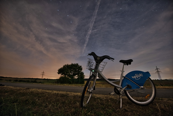
Vel'Oh at night
-
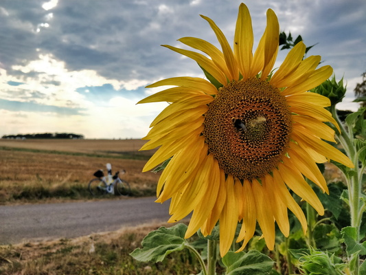
Sunflower
-
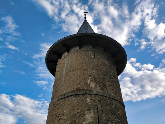
Tower of New Castle of Ansembourg
-
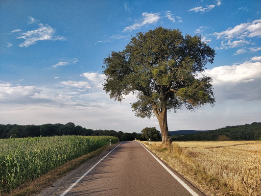
Country road
-
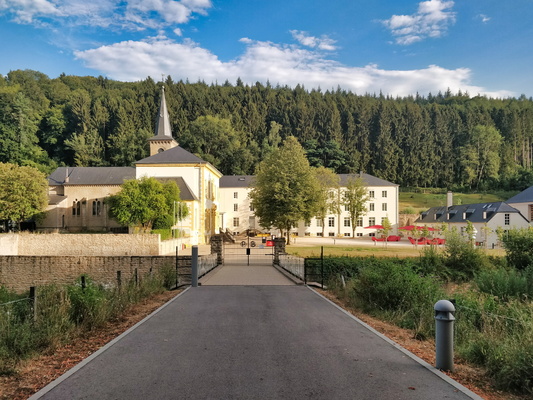
Marienthal
-
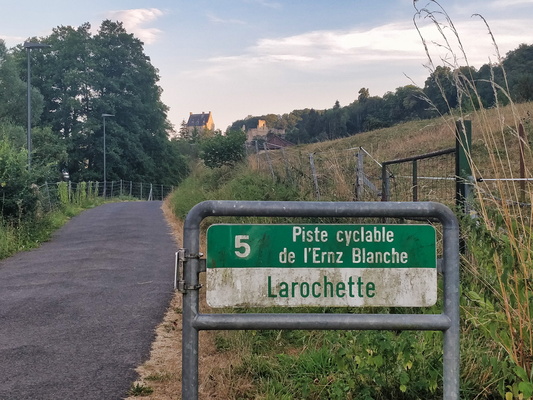
Entering Larochette
-
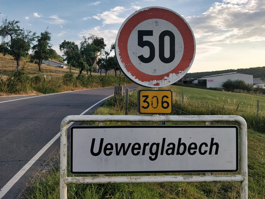
Locality sign
-
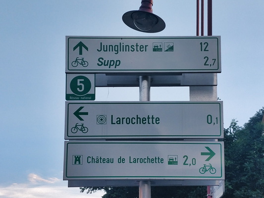
On PC 5 in Larochette
-
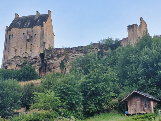
Château de Larochette
-
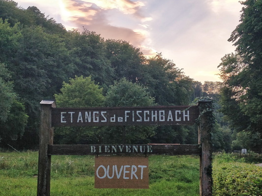
Étangs de Fischbach
-
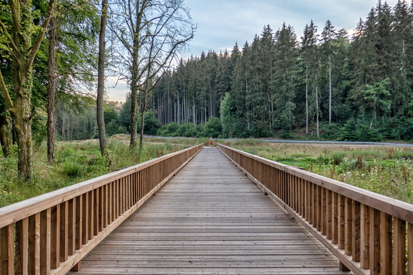
New section of PC 5
-
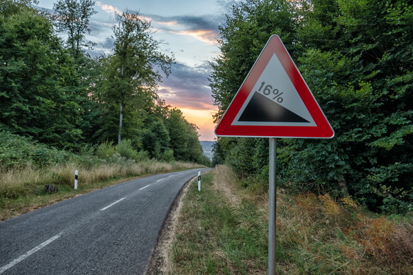
Let's roll!
-
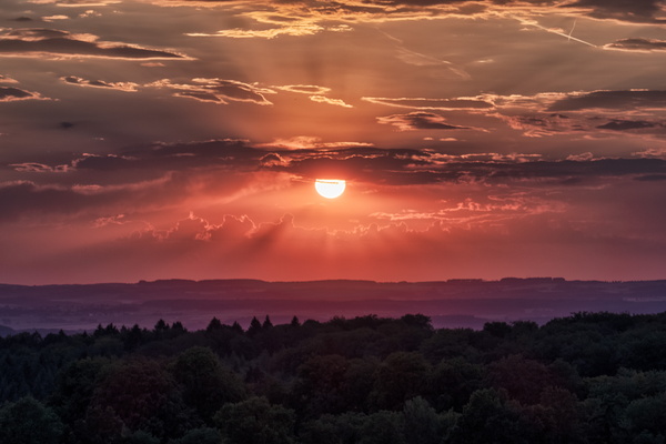
Sunset
-
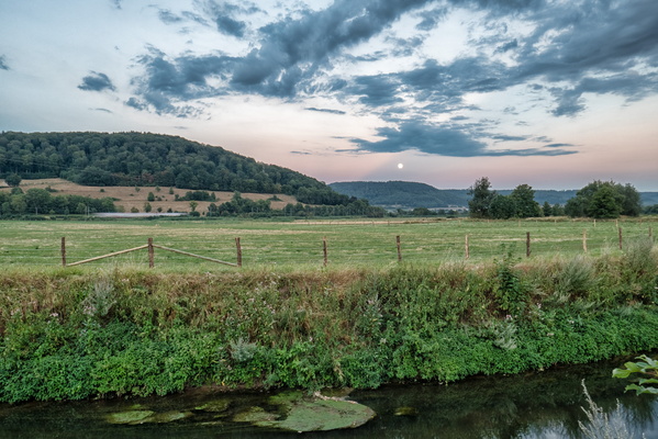
Moonrise
-
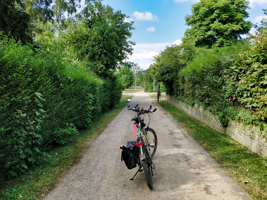
Parc Lentz in Bertrange
-
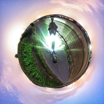
Little planet
-
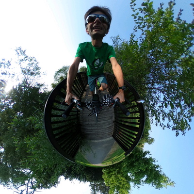
Wheely Grateful for Braces!
-
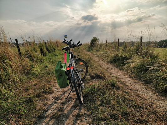
Sun rays
-
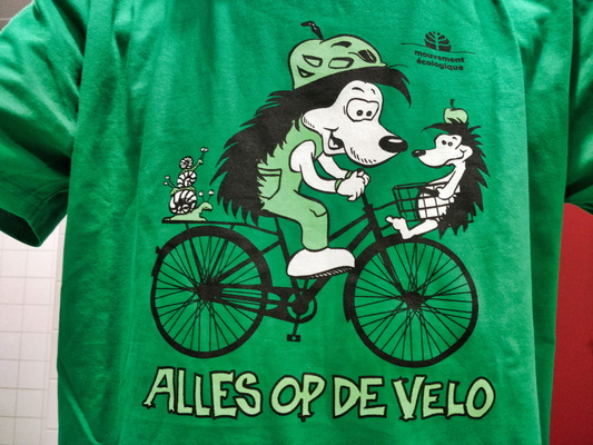
Alles op de vëlo
-
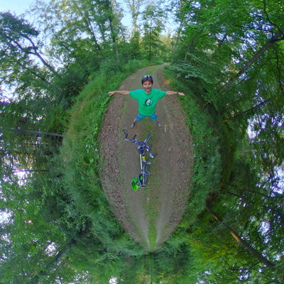
Bike selfie panorama in the forest
-
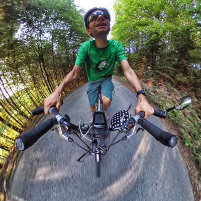
Self shot
-
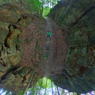
Sitting in the canyon
-
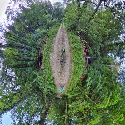
Bike selfie over the Mamer river
-
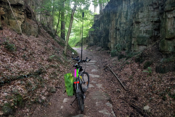
How the panorama is shot
-
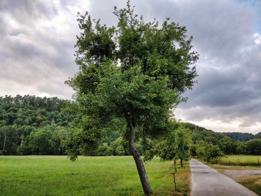
Valley of the Seven Castles
-
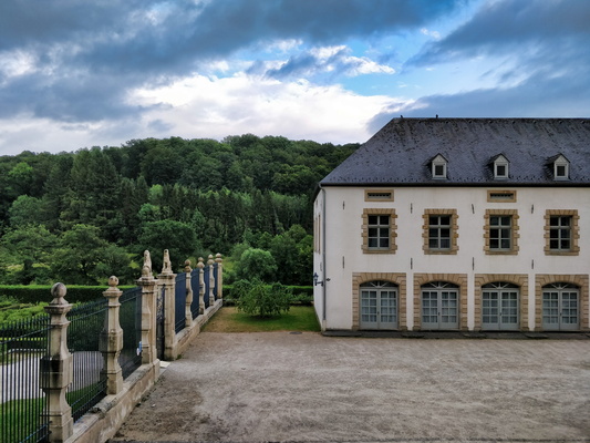
Nouveau château d'Ansembourg
-
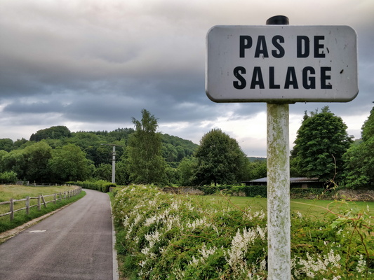
Pas de salage
-
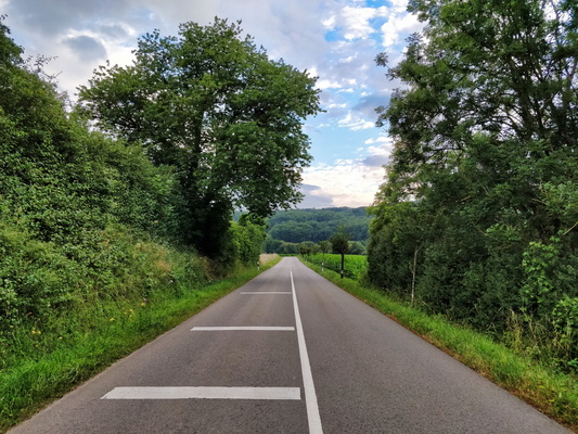
Three marks
-
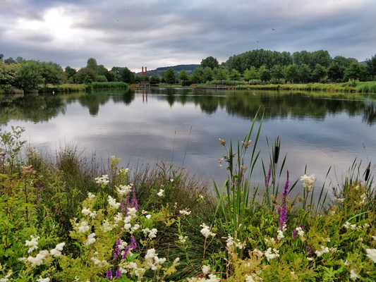
Mersch park
-
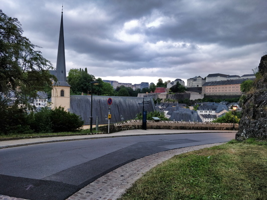
PC 1 in old Quarters & Fortifications, Luxembourg City
-
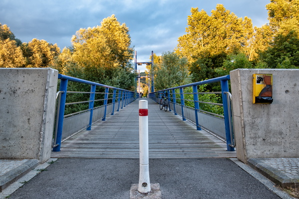
Golden hour on PC15
-
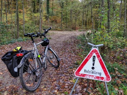
Forestry works
-
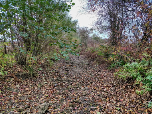
Empty Pétrusse river
-
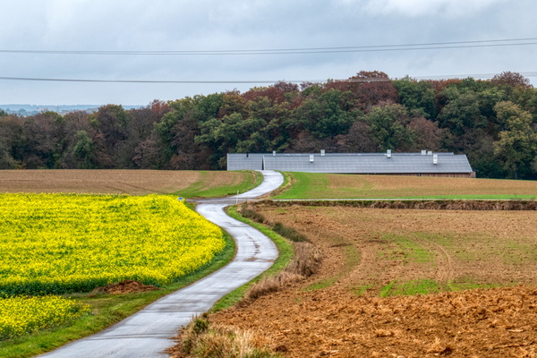
Link to PC 13 from Holzem
-
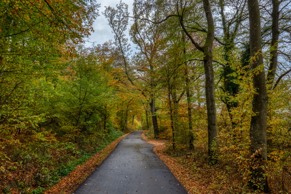
Autumn in the woods
-
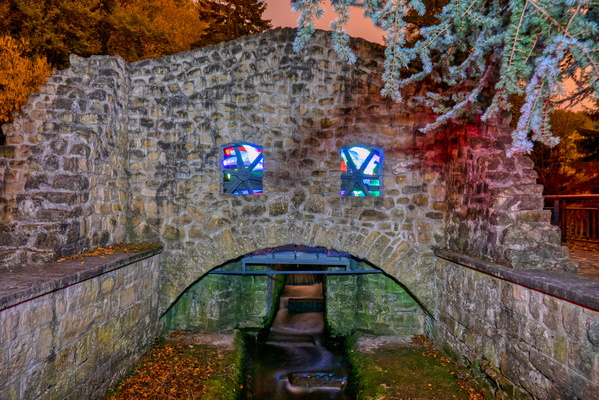
Gantenbeinsmillen
-
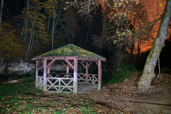
Drëps at night
-
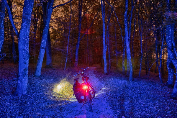
Blue light district
-
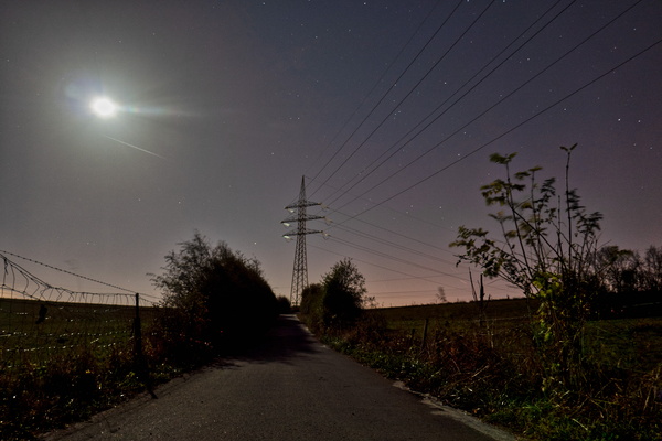
PC 6 near Sanem
-
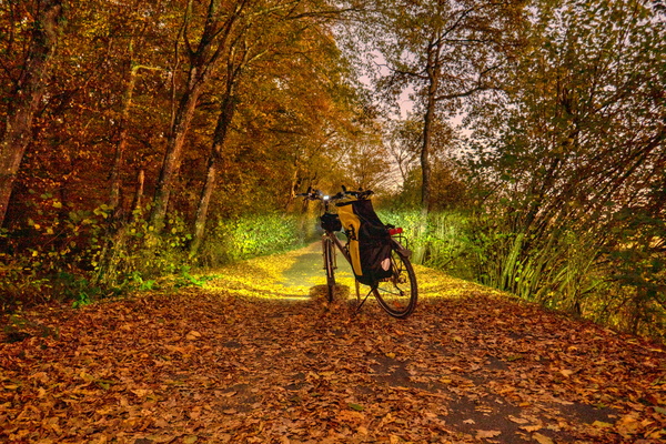
Autumn evening on PC 12 near Clemency
-
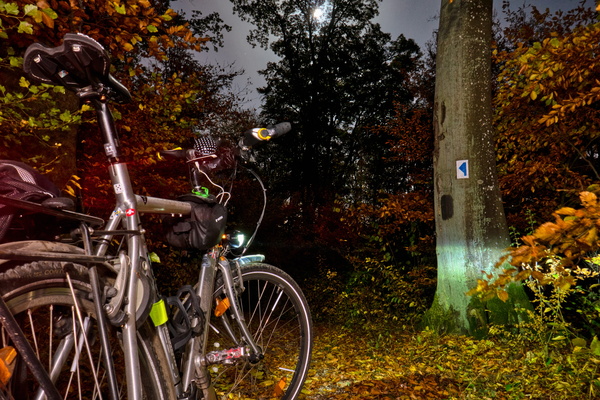
A night commute in the woods
-
Summer is still in the air
-
OMG some rain!
-
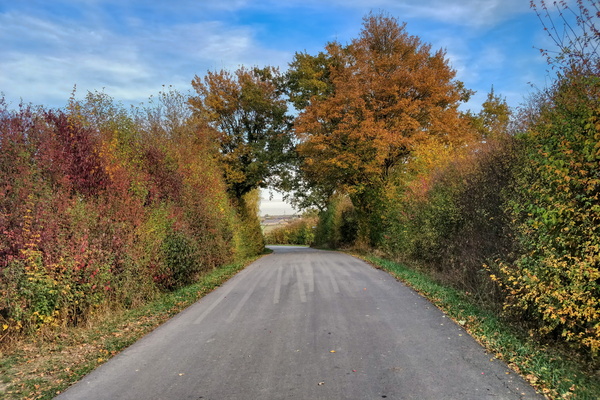
Autumn is coming to Bertrange
-
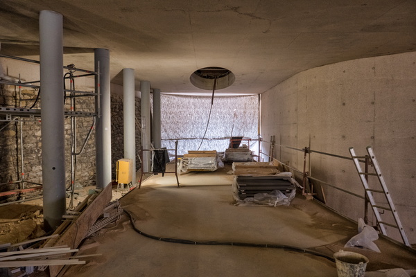
Construction site under Pont Adolphe
-
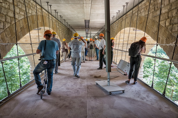
Open-door under Pont Adolphe construction site
-
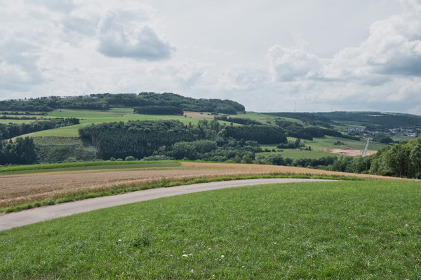
Asphalt track near Bettendorf
-
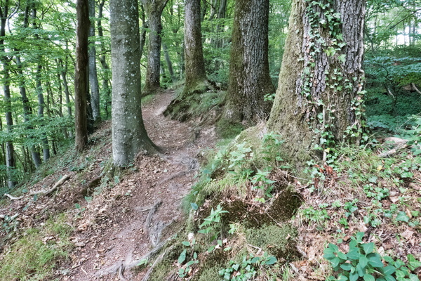
Sentier Ardennes-Eifel near Bettendorf
-
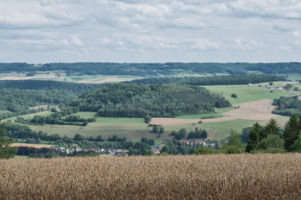
View over Bettendorf
-
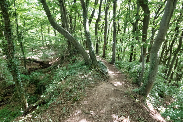
Sentier Ardennes-Eifel near Bettendorf
-
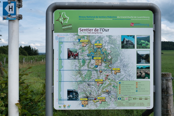
Sentier de l'Our information map
-
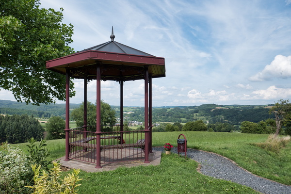
Hiking trail near Tandel
-
Parc Naturel de l'Our sign
-
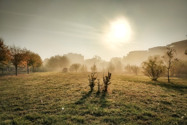
Dissipating fog in Parc Lentz, Bertrange
-
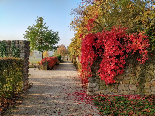
Parc Lentz, Bertrange
-
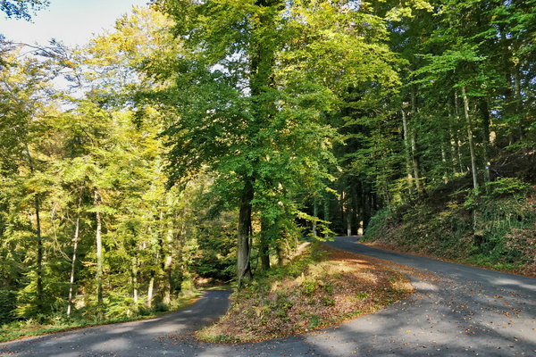
Climb between Mamerdal and Bridel
-
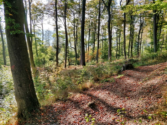
Just after a tough climb East of Lorentzweiler
-
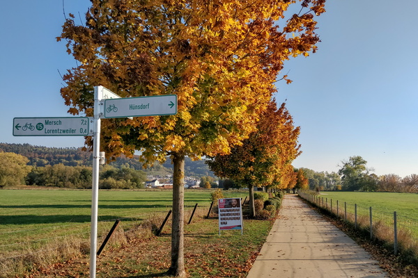
Orange trees on PC 15 near Lorentzweiler
-
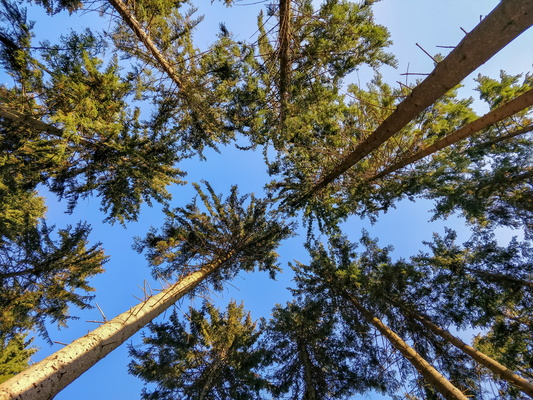
Surrounded by trees
-
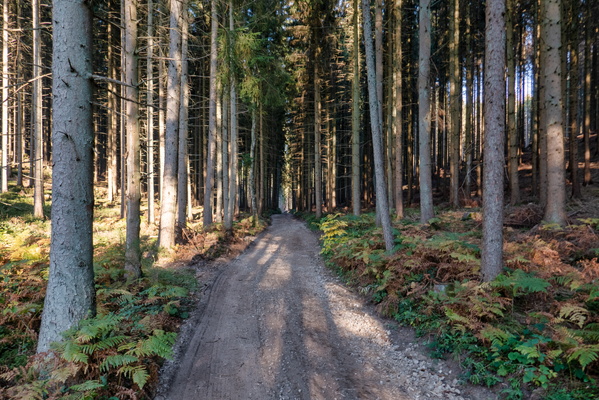
Forest track between Lorentzweiler and Fischbach
-
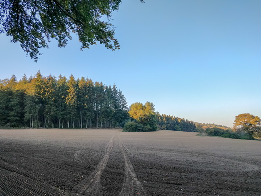
A very soft track
-
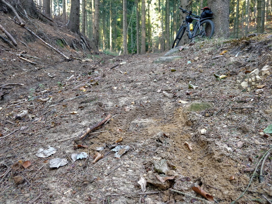
Skiddy track
-
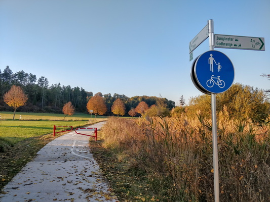
The end of PC 5
-
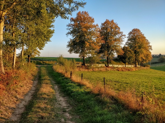
Track near Heffingen
-
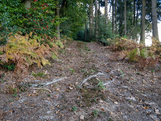
Track near Junglinster
-
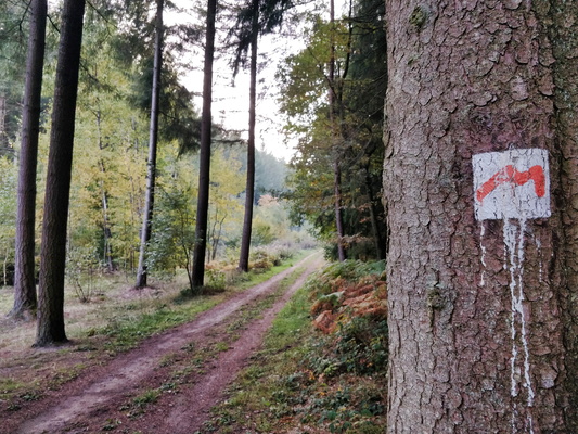
Mullerthal trail near Heffingen
-
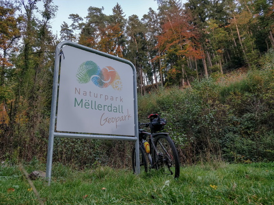
Naturpark Mëllerdall Geopark sign
-
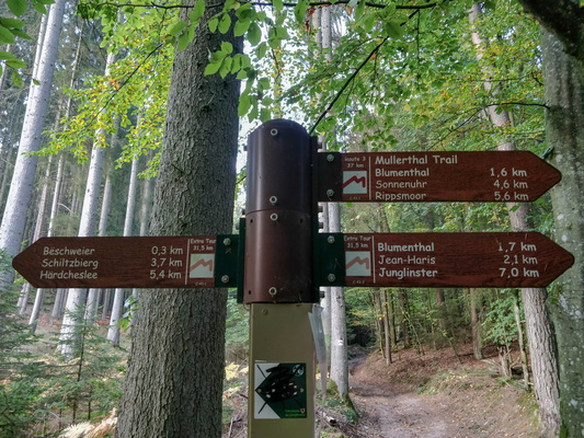
Hiking directions on Mullerthal Trail
-
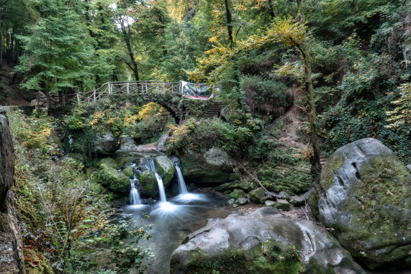
Schiessentümpel waterfall
-
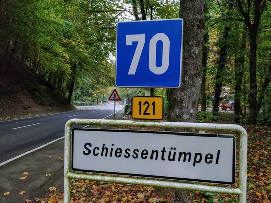
About to see one of the highlights of Luxembourg
-
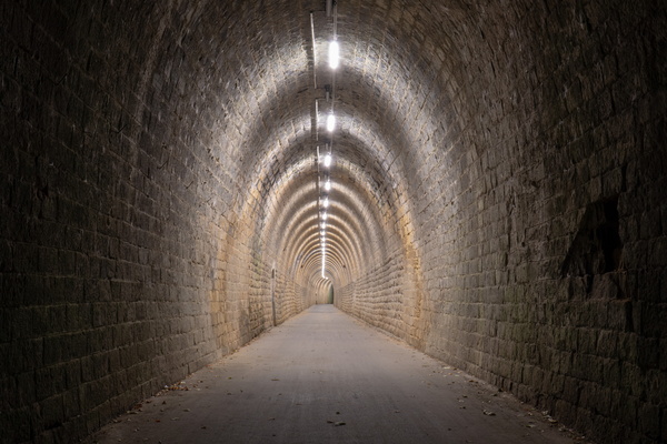
Bech tunnel
-
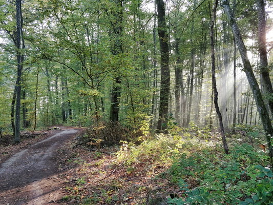
Sun rays in Bertrange forest
-
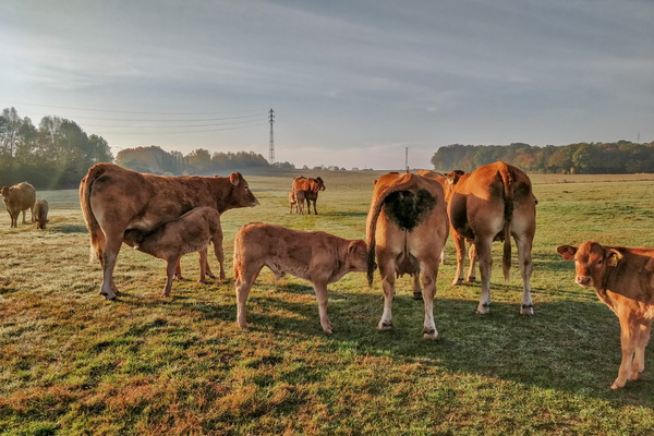
Feeding time
-
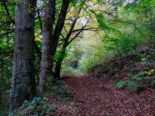
Path near CR 102 between Mamer and Kehlen
-
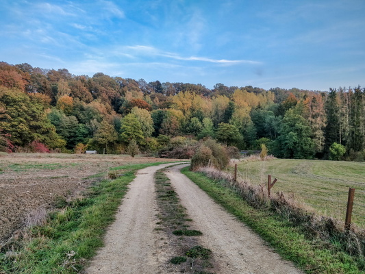
Track between Mamer and Kehlen
-
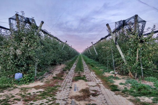
Kehlen orchard
-
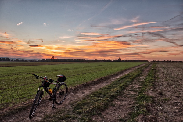
Sunset in the fields between Mamer and Kehlen
-
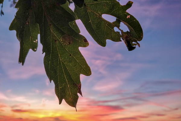
Oak leaves at dusk
-
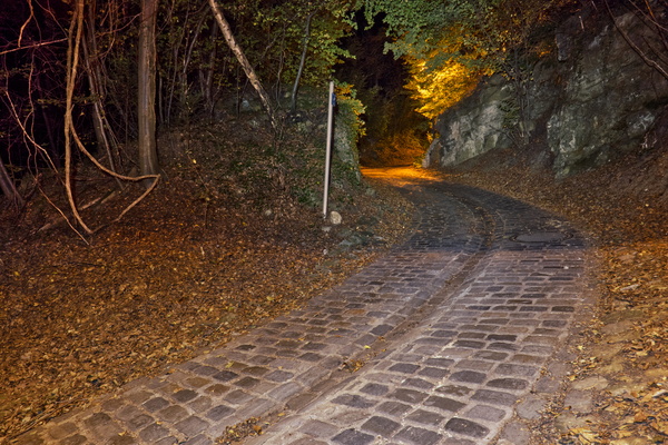
Millegässel climb in Luxembourg Eich
-
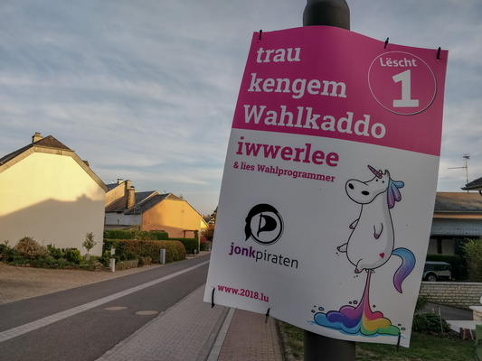
Elections are around the corner
-
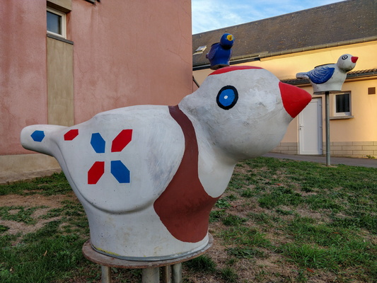
Nospelt Peckvillercher
-
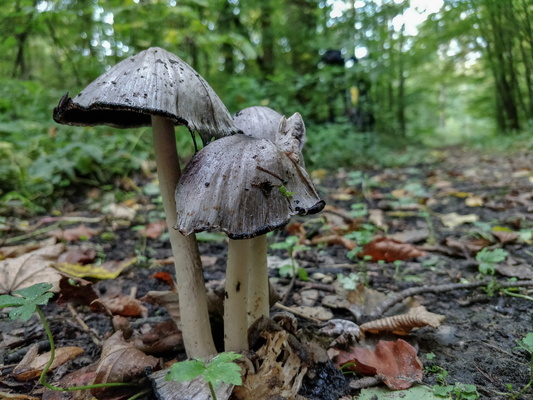
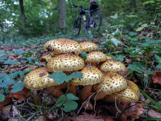
Mushrooms on Sentier des Sept Châteaux
-
Mushrooms on Sentier des Sept Châteaux
-
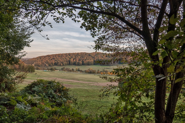
Äischdall
-
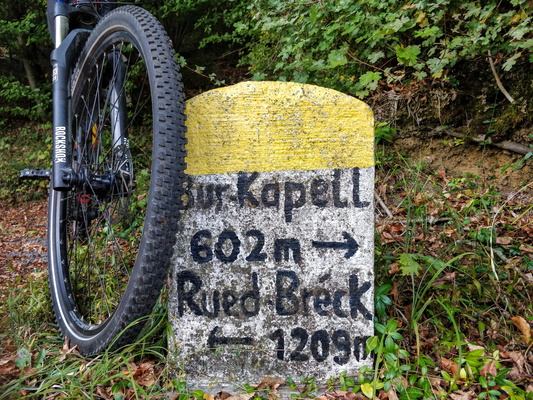
Distance accuracy
-
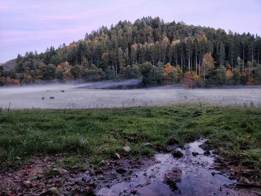
Fog
-
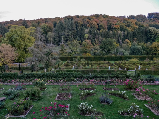
French garden at New Castle of Ansembourg
-
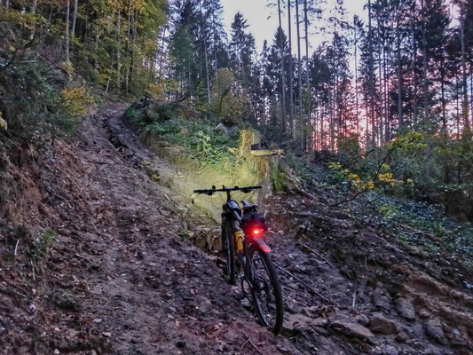
Sentier des Sept Châteaux
-
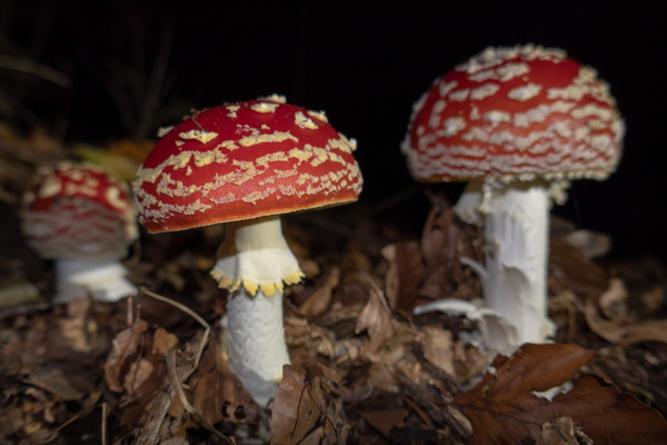
Mushrooms
-
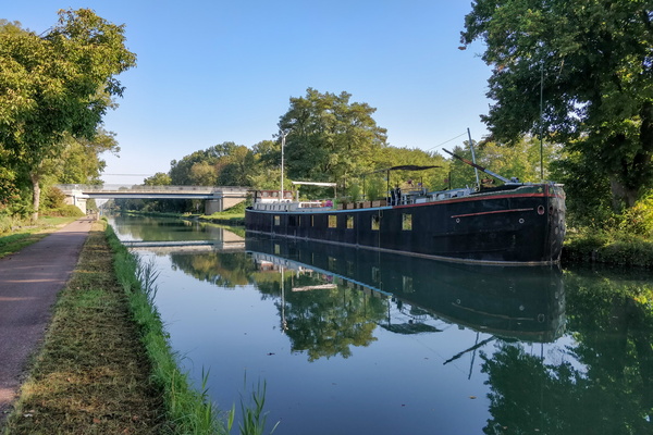
Boat in Obenheim
-
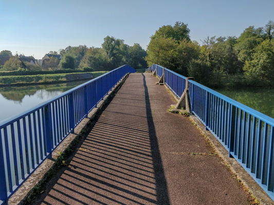
Bridge in Erstein
-
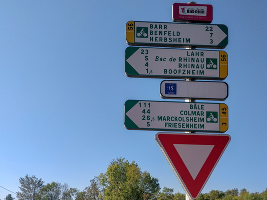
Cycling distance and directions in Boofzheim
-
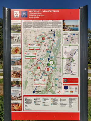
Véloroute Rhin infoboard in Boofzheim
-
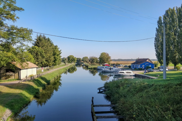
Boofzheim marina
-
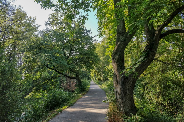
Following the canal near Schwobsheim
-
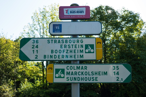
Halfway between Strasbourg and Colmar
-
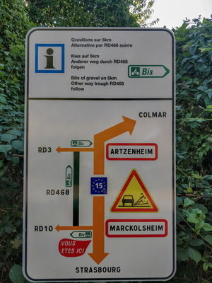
Alternative to gravel
-
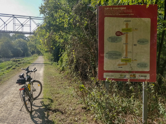
Information board on gravel part of the cycling route near Marck
-
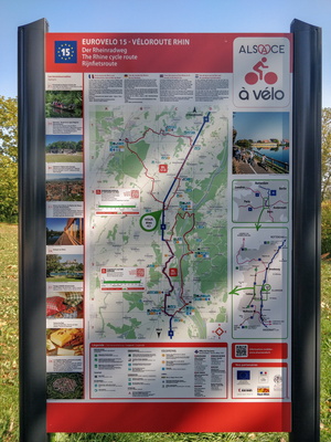
Véloroute Rhin infoboard in Marckolsheim
-
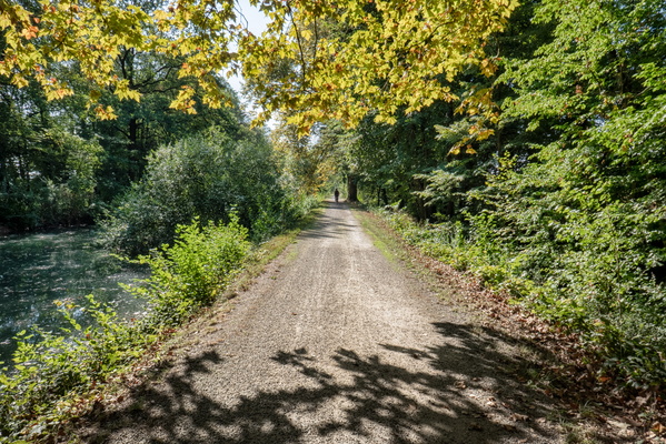
Gravel along the canal near Marckolsheim
-
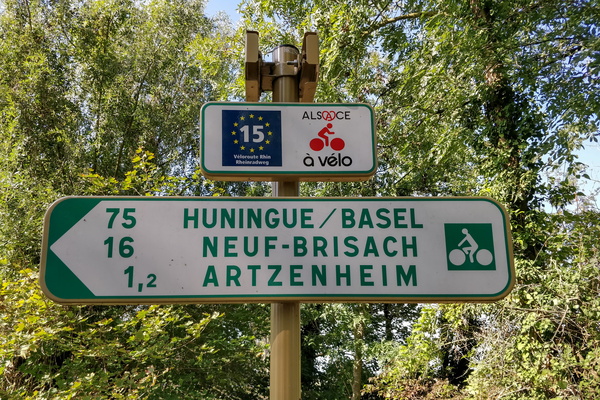
Cycling distance from Artzenheim
-
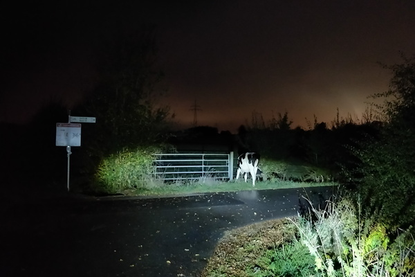
Who let the cows out?
-
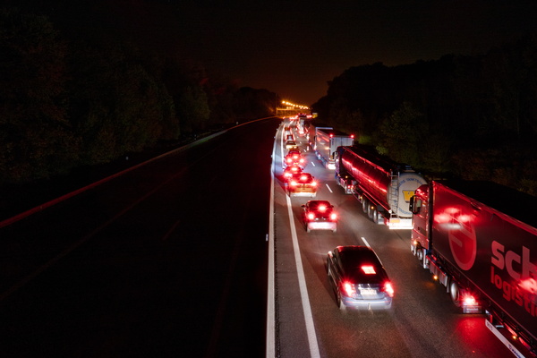
Traffic
-
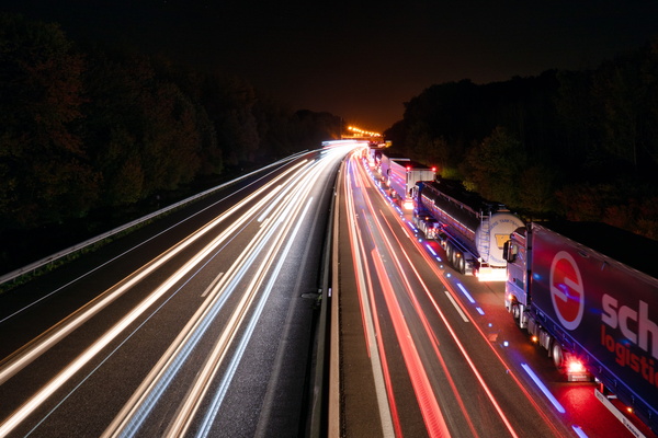
Motorised traffic
-
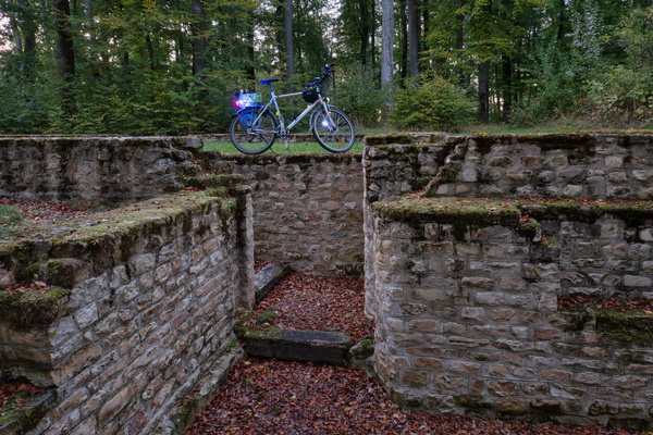
Villa Romaine Goeblange
-
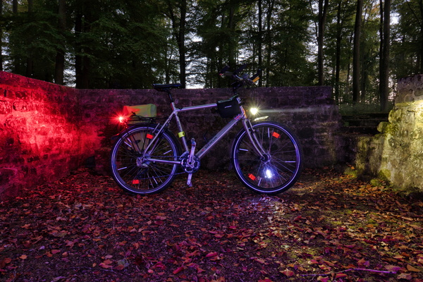
Villa Romaine Goeblange
-
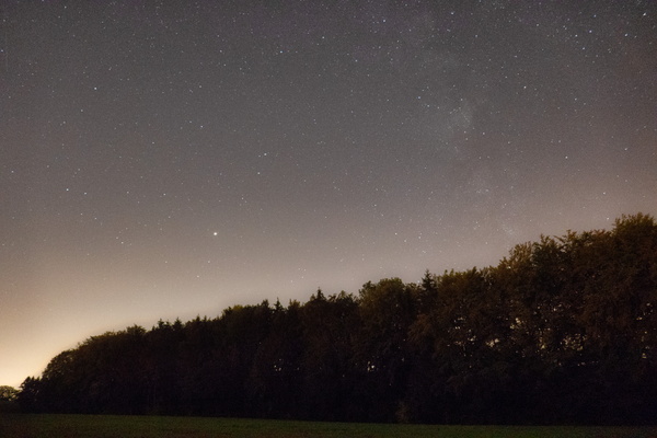
Clear sky near Garnich
-
Koerich Castle

-
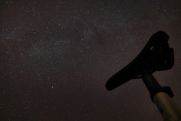
Saddle to the sky
-
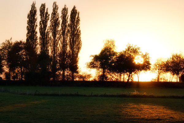
Sunset behind the tree
-
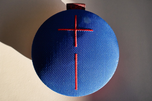
Speaker
-
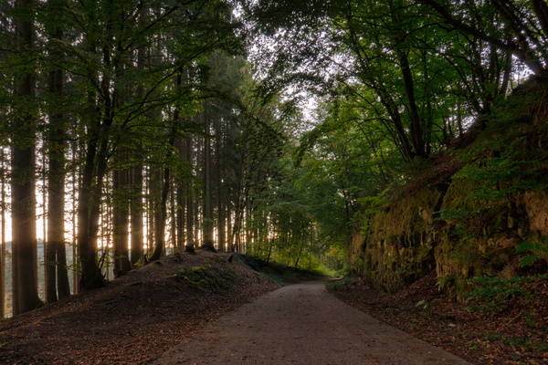
Piste cyclable de l'Attert near Eischen
-
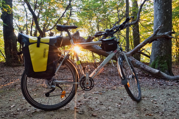
Sunny bike
-
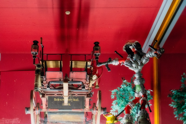
Old Schweicherthal fire department vehicle
-
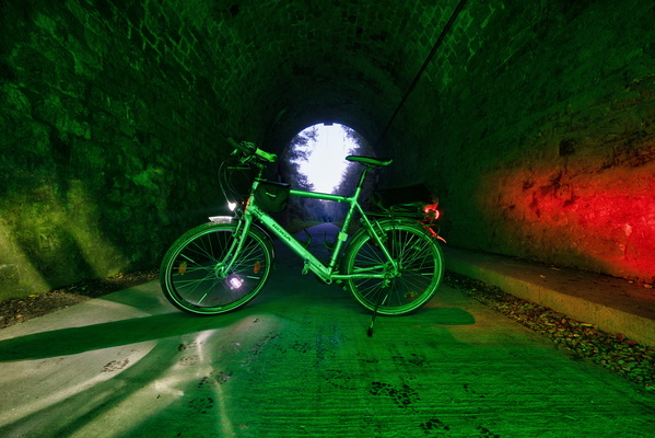
Cycling tunnel between Eischen and Hovelange
-
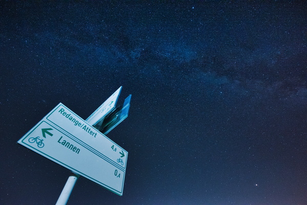
Cycling on a clear night
-
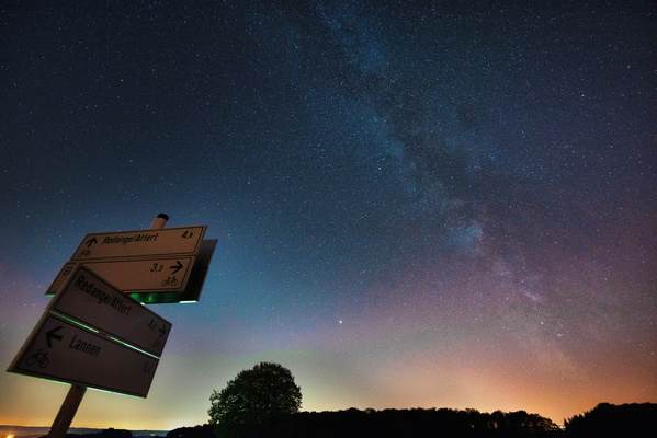
Cycling on a clear night
-
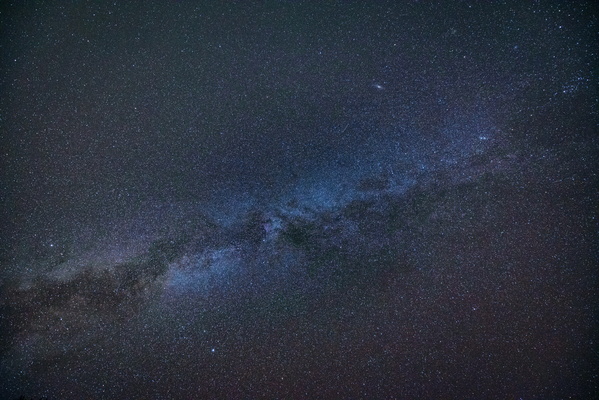
Looking up
-
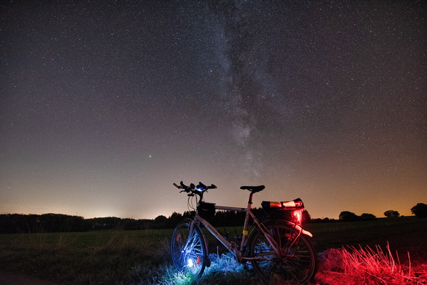
Starry night on PC 17 near Rambrouch
-
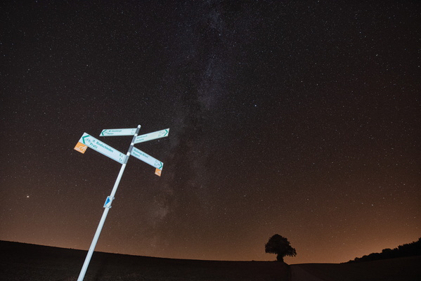
At night on the bike before the end of the Milky Way season
-
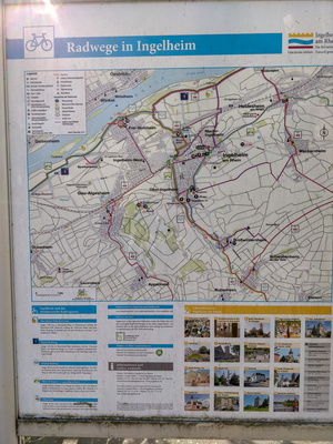
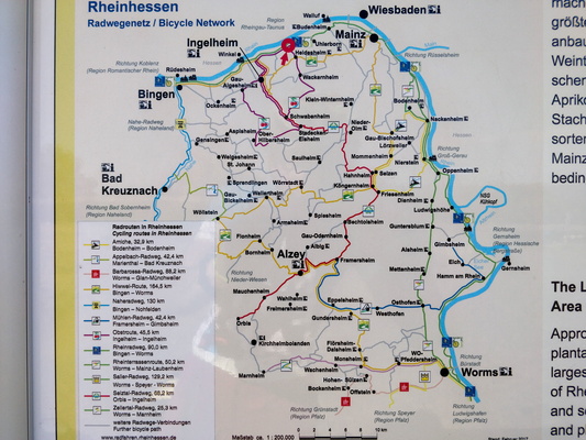
Cycling map near Ingelheim am Rhein
-
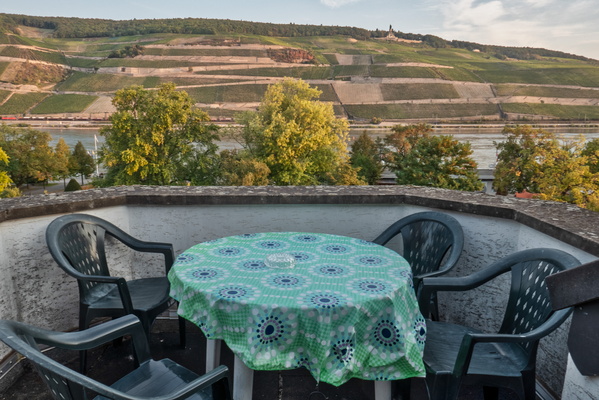
View from the balcony of the Hotel room in Bingen
-
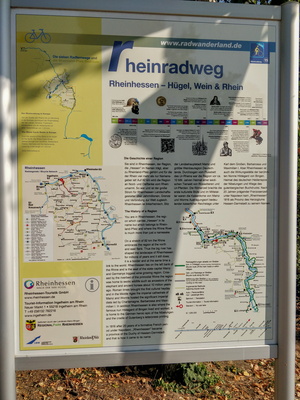
Rheinradweg information board
-
Rheinradweg information board
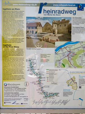
-
Rheinradweg information board
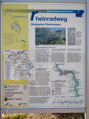
-
Cycling directions in Ingelheim/Rhein
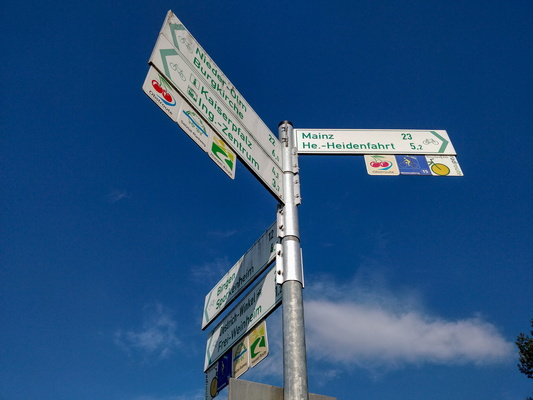
-
Rheinradweg information board
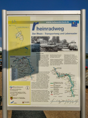
-
Rheinradweg information board
-
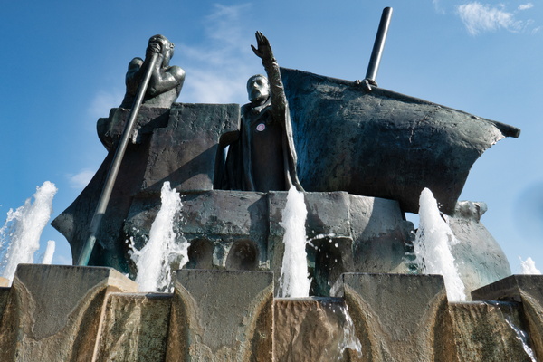
Frauenlob-Barke fountain
-
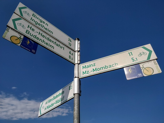
Cycling directions in Budenheim
-
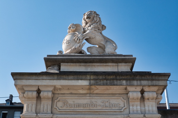
Raimundi-Thor
-
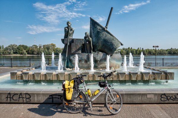
Frauenlob-Barke, Mainz
-
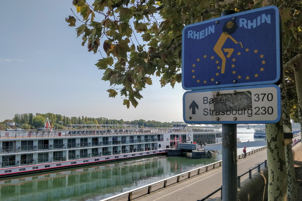
Distance along the Rhine
-
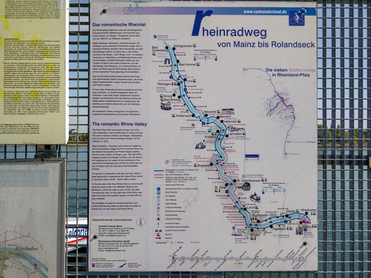
Rheinradweg information board
-
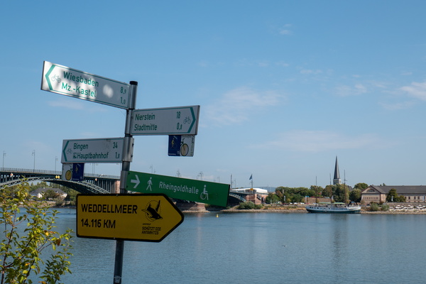
The Rhine in Mainz
-
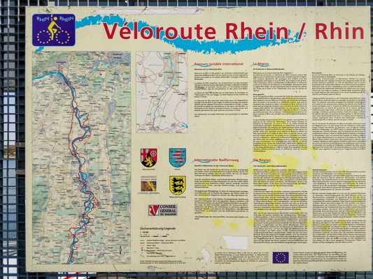
Rhine Veloroute information board
-
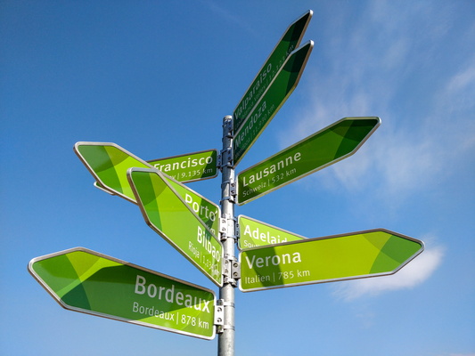
Triangulation sign
-
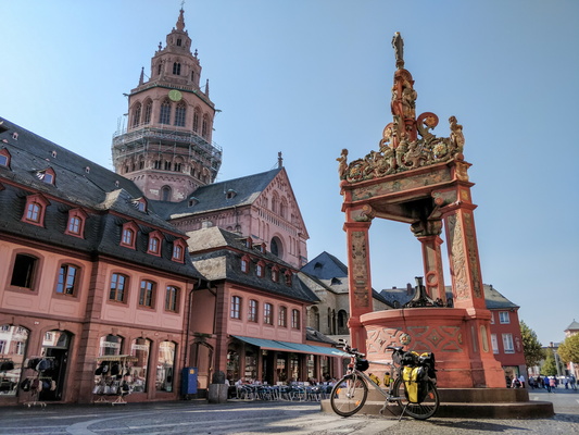
Mainz Markt
-
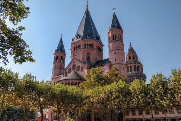
St. Martin's Cathedral, Mainz
-
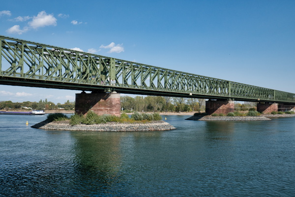
Rail bridge over the Rhine river in Mainz
-
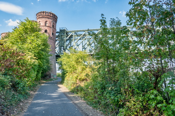
Rail bridge over the Rhine river in Mainz
-
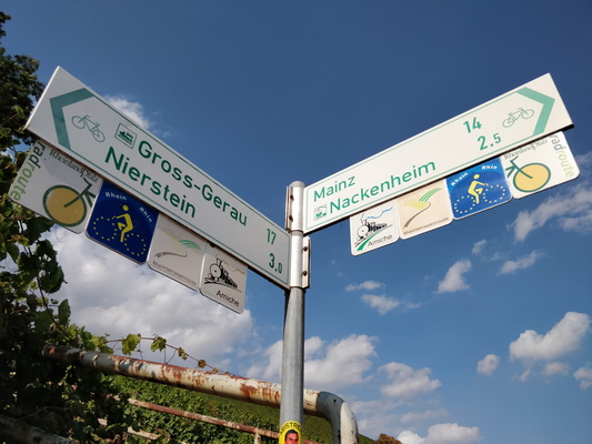
Cycling directions in Nierstein
-
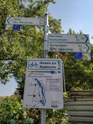
Cycleway notice sign
-
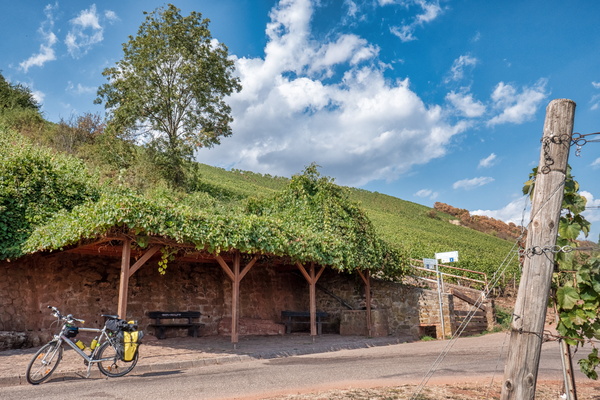
A place to stop in Nierstein
-
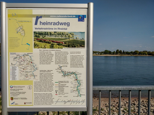
Rheinradweg information board
-
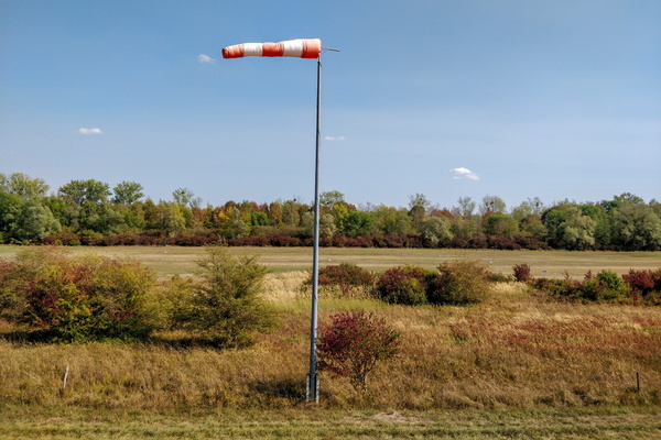
Wind
-
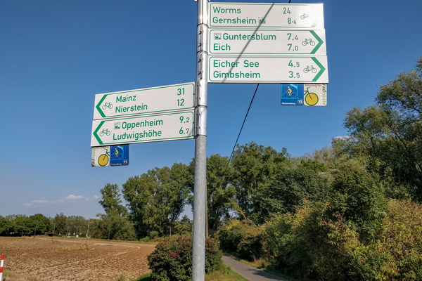
Cycling directions near Gimbsheim
-
Windy day
-
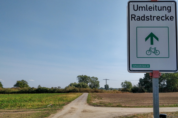
Cycleway diversion sign
-
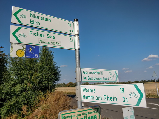
Cycling directions near Hamm am Rhein
-
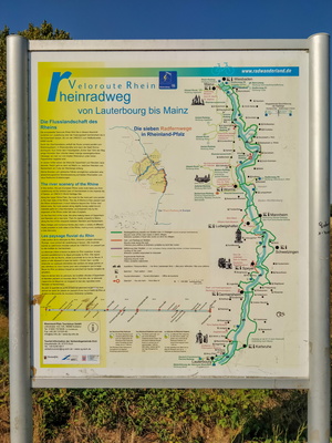
Rheinradweg information board
-
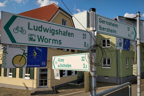
Cycling directions in Rheindürkheim
-
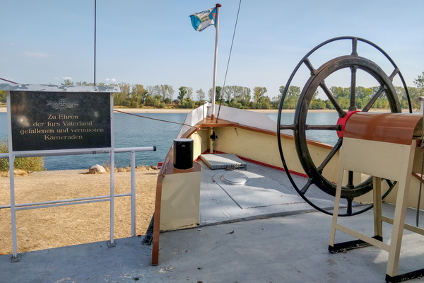
Boat memorial in Rheindürkheim
-
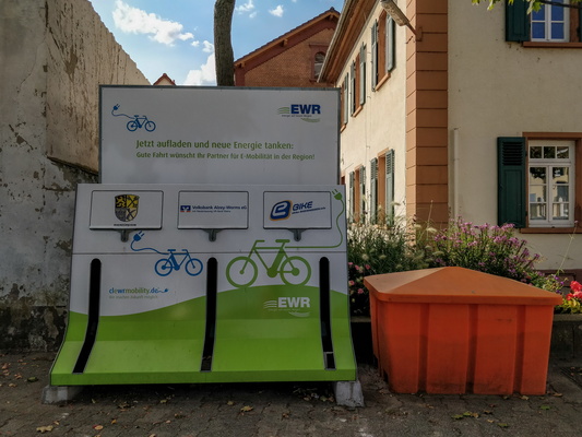
E-bike charging station in Rheindürkheim
-
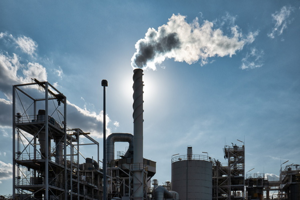
Grace GmbH & Co.KG, Worms
-
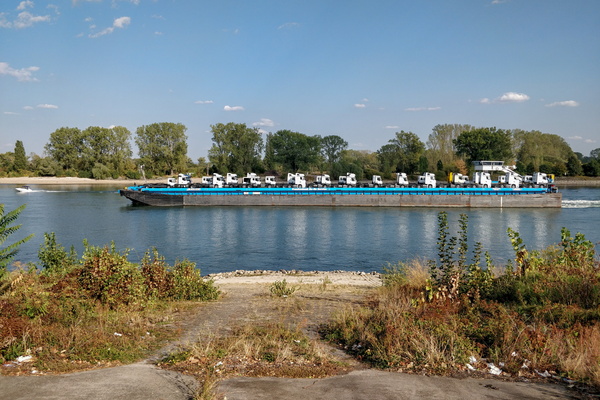
If trucks look big on the road, look at this...
-
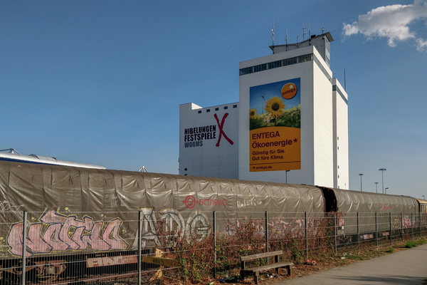
Industrial area in Worms
-
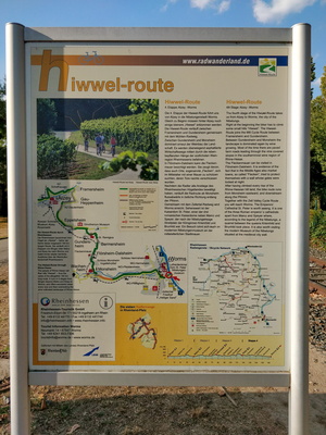
Hiwwel-route information board
-
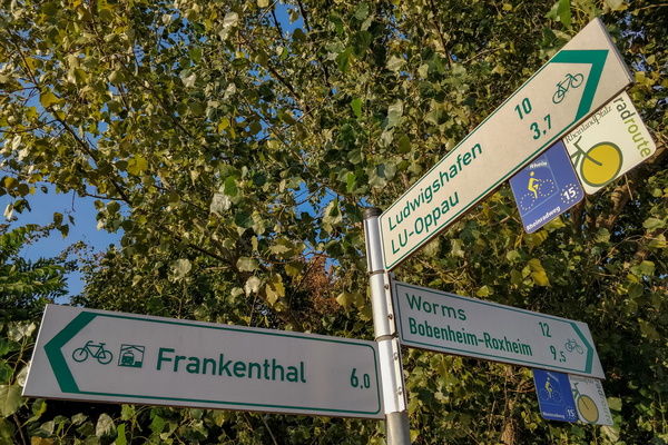
Cycling directions near Ludwigshagen
-
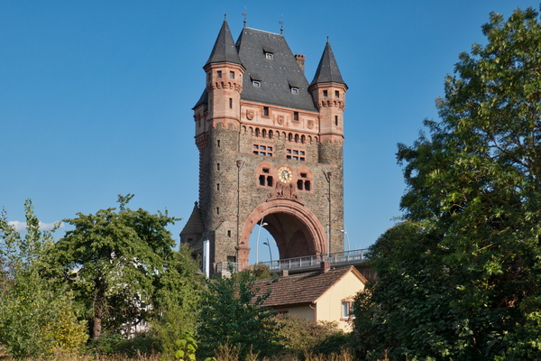
Bridge over the Rhine river in Worms
-
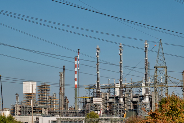
BASF SE - Stammwerk Ludwigshafen
-
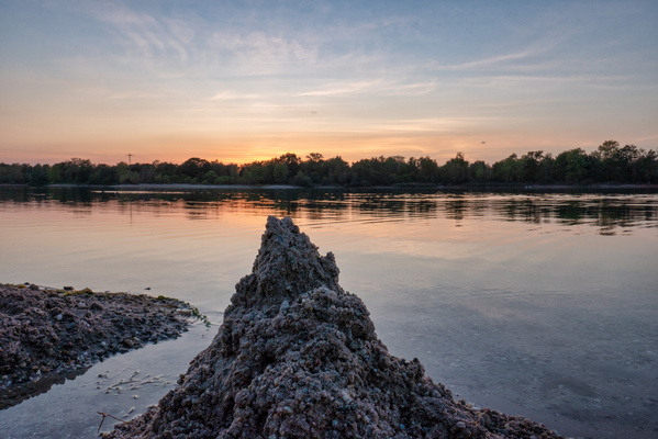
Marx'scher Weiher, near Waldsee
-
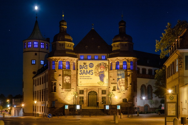
Historisches Museum der Pfalz, Speyer
-
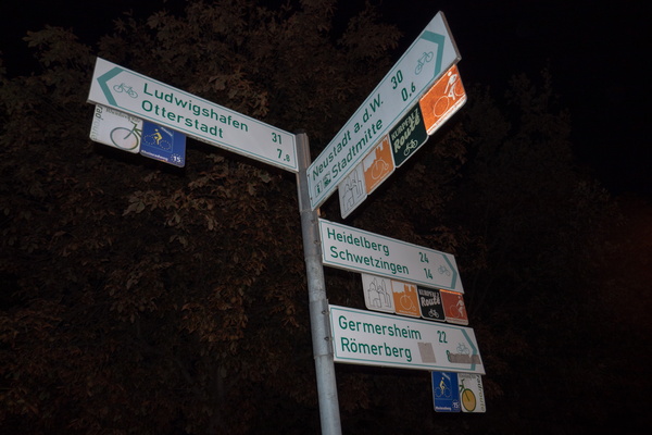
Cycling directions in Speyer
-
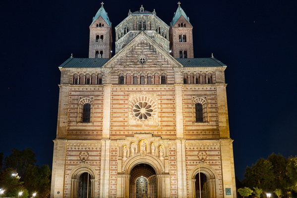
Dom zu Speyer
-
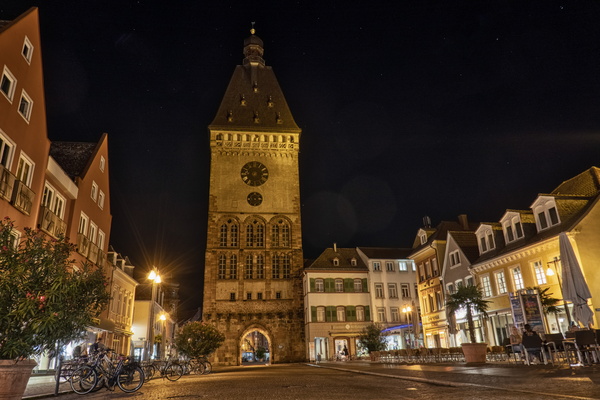
Altpörtel Speyer city gate
-
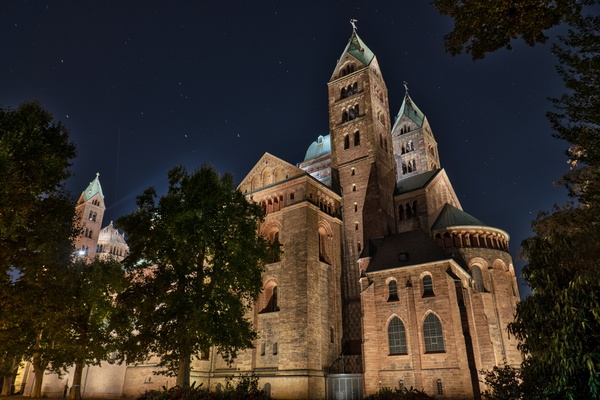
Dom zu Speyer
-
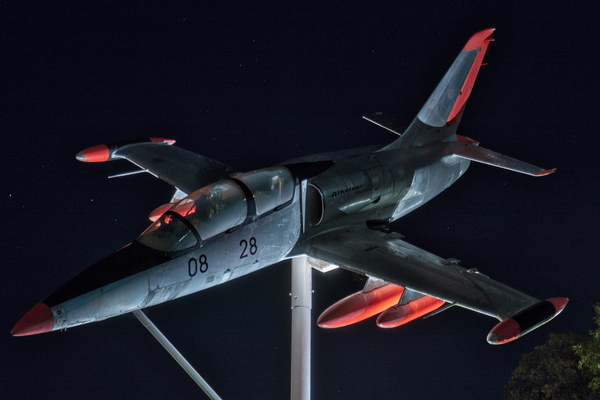
L39 Albatros plane at Technik Museum, Speyer
-
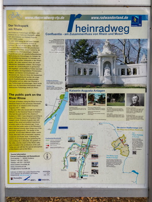
Rheinradweg information board
-
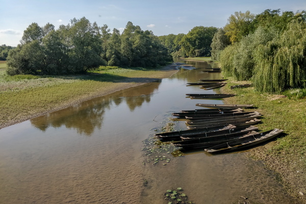
Sauer river delta
-
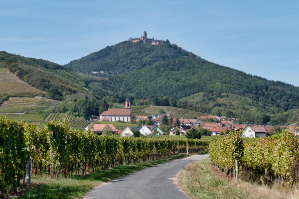
The village of Orschwiller and the Haut-Kœnigsbourg Castle
-
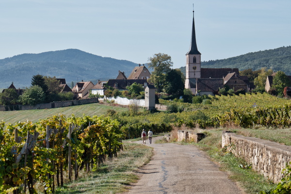
The village of Mittelbergheim
-
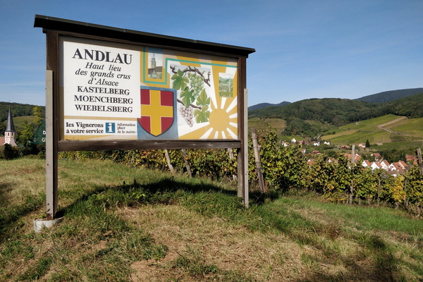
Board near Andlau
-
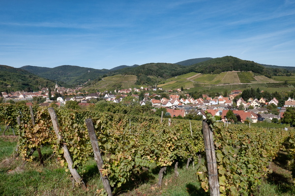
The village of Andlau
-
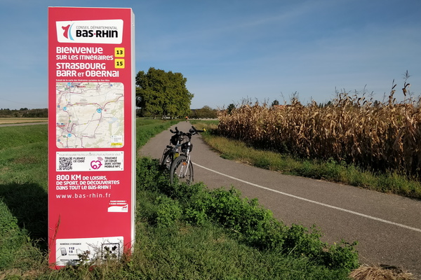
Cycling information board near Krautergersheim
-
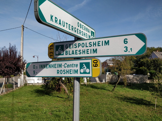
Cycling directions in Innenheim
-
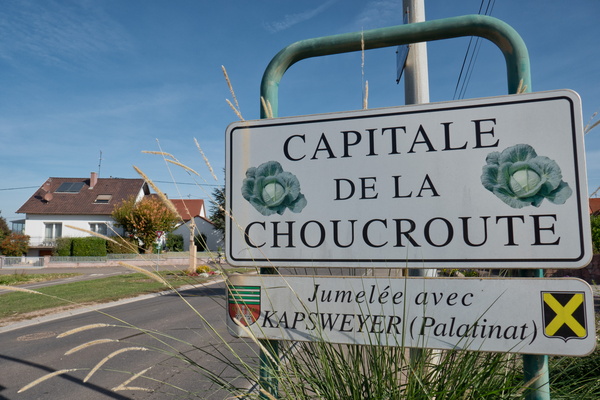
Krautergersheim
-
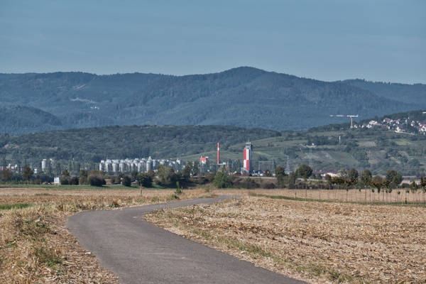
Beer factory
-
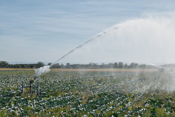
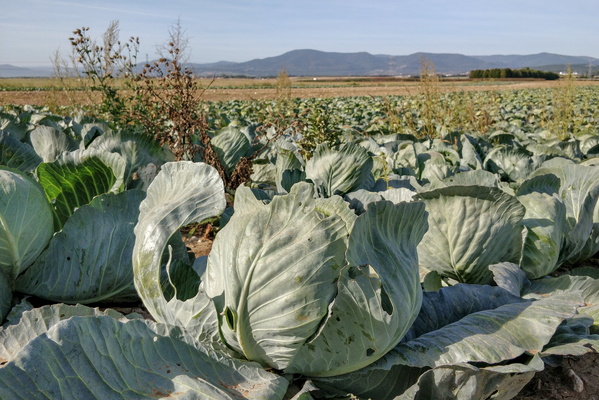
Cabbage fied
-
Cabbage
-
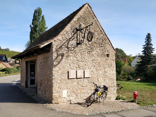
Ziegelscheuer in Mittelbergheim
-
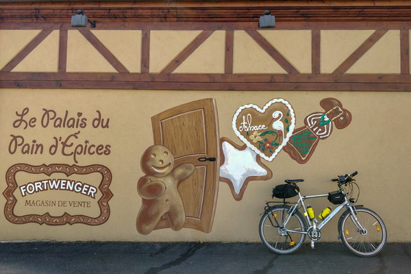
Gingerbread at Fortwenger, Gertwiller
-
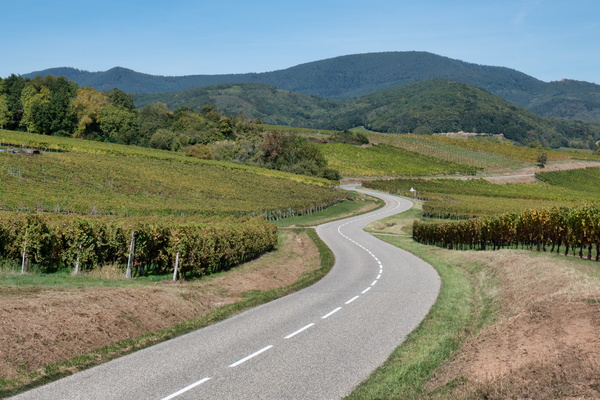
The way between Itterswiller and Andlau
-
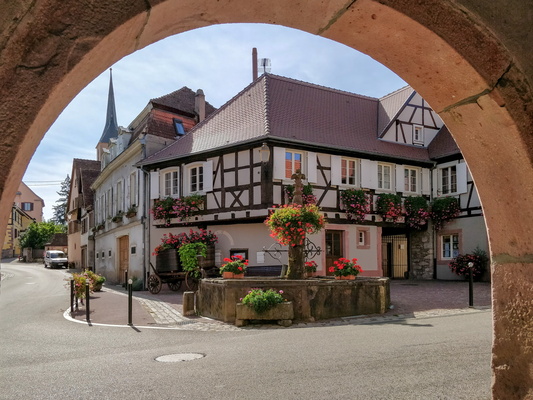
Arch in the village of Blienschwiller
-
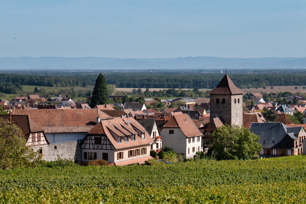
The village of Dambach-la-Ville
-
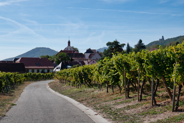
The village of Dieffenthal
-
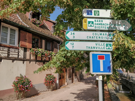
Cycling directions in Scherwiller
-
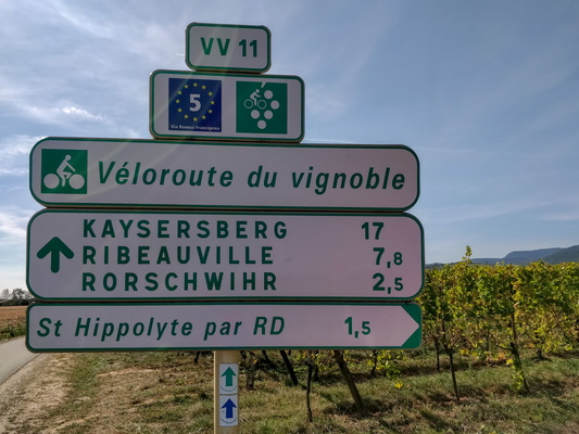
Cycling directions near Saint-Hippolyte
-
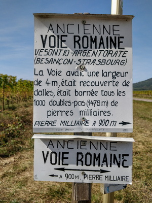
Old Roman road sign near Saint-Hippolyte
-
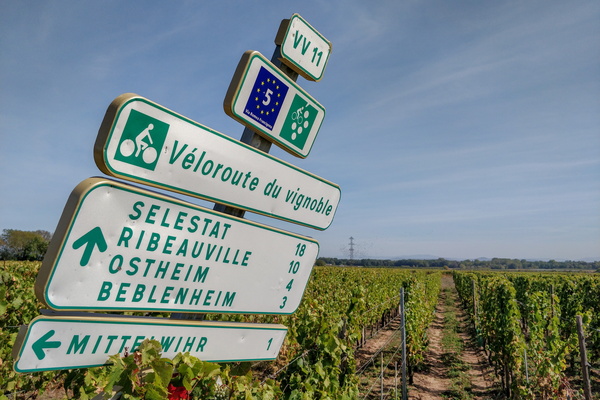
Cycling directions near Bennwihr
-
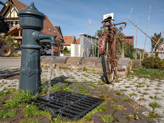
Drinking water in Bennwihr
-
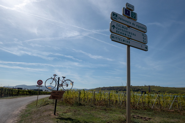
Cycling directions near Bennwihr
-
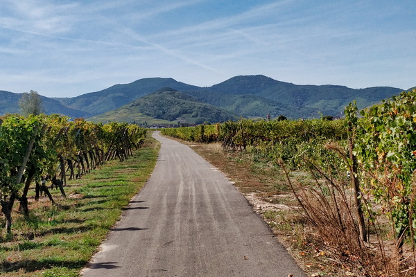
Véloroute du Vignoble d'Alsace near Sigolsheim
-
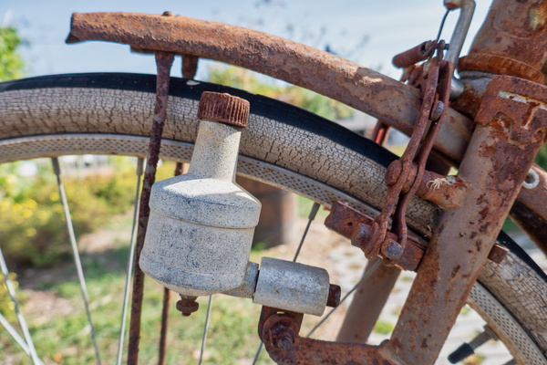
Rusted old bike
-
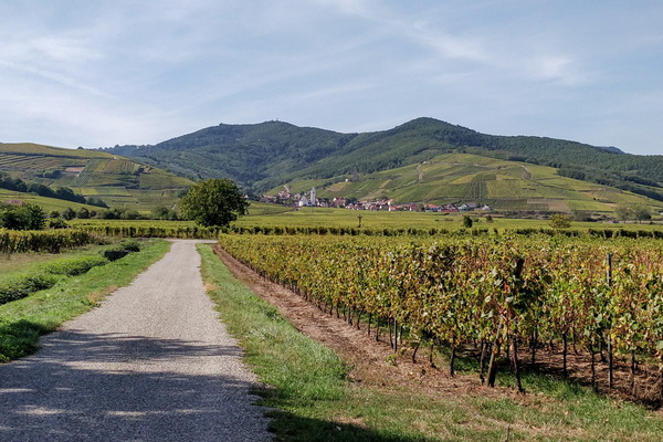
The village of Katzenthall, I think
-
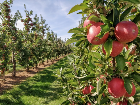
Orchard near Ammerschwihr
-
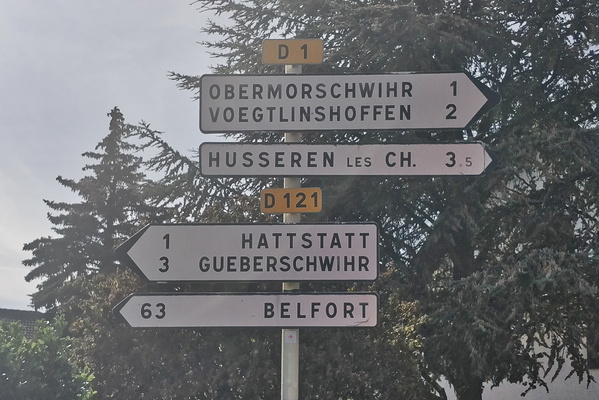
You notice when you are in Alsace
-
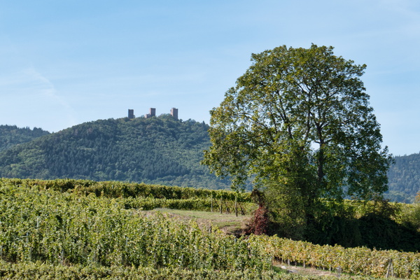
Castle near Herrlisheim-près-Colmar
-
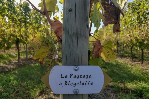
Tiny sign in the vineyards near Rouffach
-
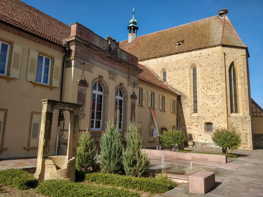
Inside Rouffach
-
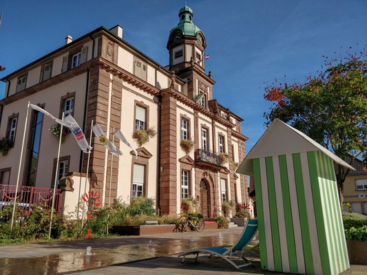
Soultzmatt townhall square
-
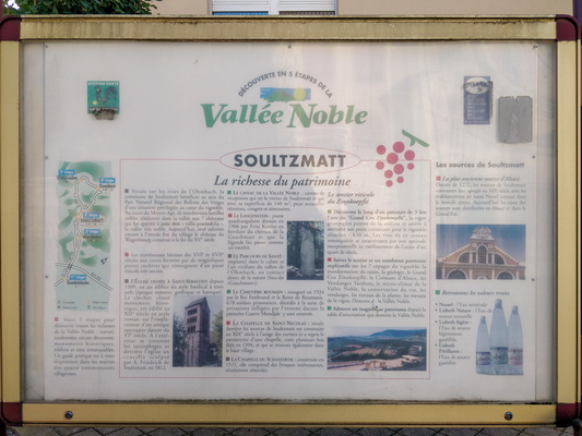
Information board in Soultzmatt
-
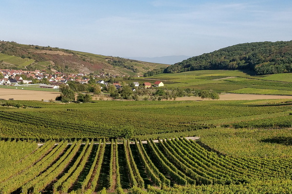
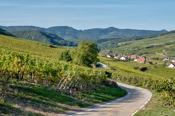
Vineyards near Soultzmatt
-
Véloroute du Vignoble d'Alsace near Soultzmatt
-
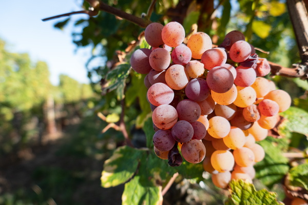
Grapes
-
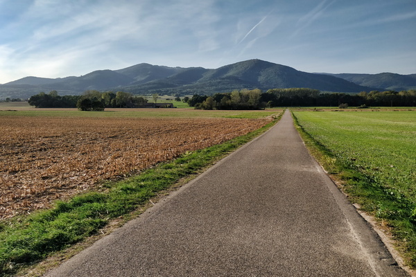
Vosges mountains view near Berrwiller
-
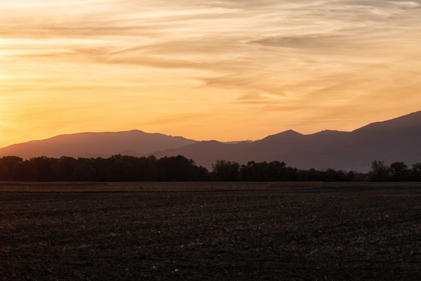
Golden sunset near Baldersheim
-
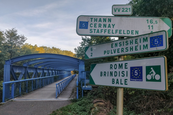
All roads lead to Rome
-
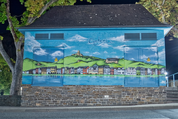
Mural on power substation in Cochem
-
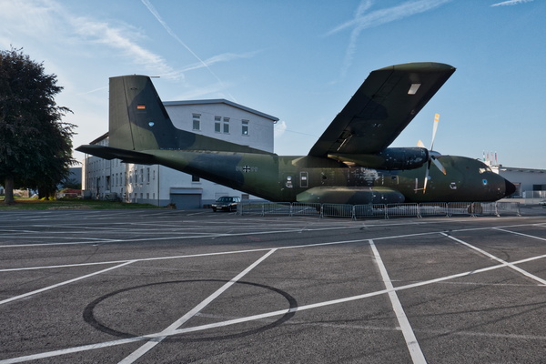
Transcall C 160 plane at Technik Museum, Speyer
-
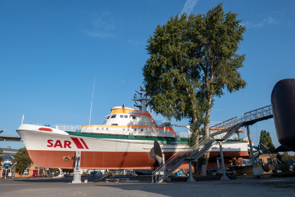
SAR boat Technik Museum, Speyer
-
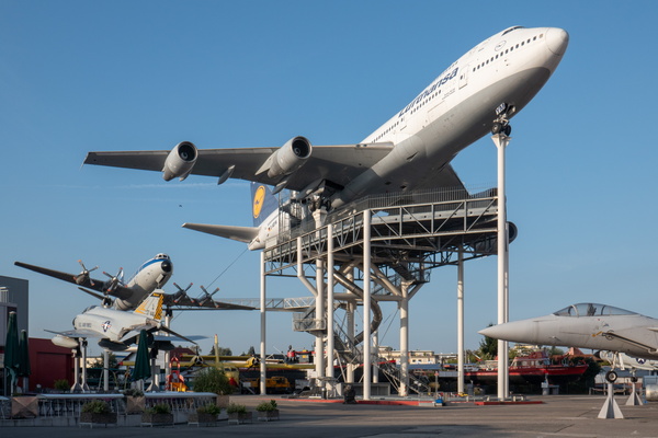
Planes at Technik Museum, Speyer
-
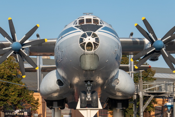
Antonov 22 plane at Technik Museum, Speyer
-
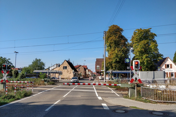
Railroad crossing
-
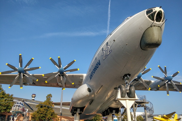
Antonov 22 plane at Technik Museum, Speyer
-
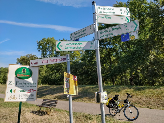
Cycling directions near Leimersheim
-
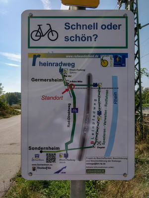
Fast or nice?
-
Cycling directions near Wörth

-
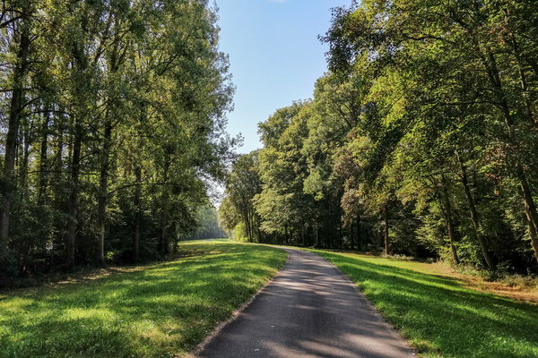
Rheinradweg near Wörth
-
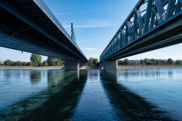
A pair of bridges near Wörth
-
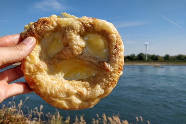
Cheese pretzel
-
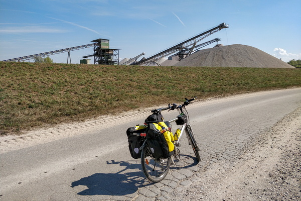
Gravel pit near Hagenbach
-
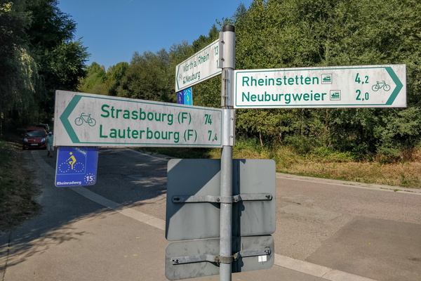
Cycling directions near Neuburg
-
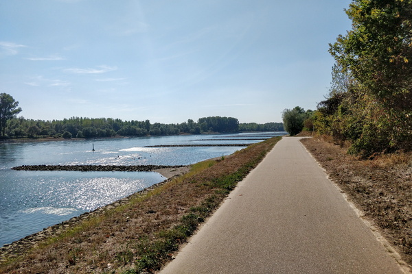
The Rhine near Neuburg
-
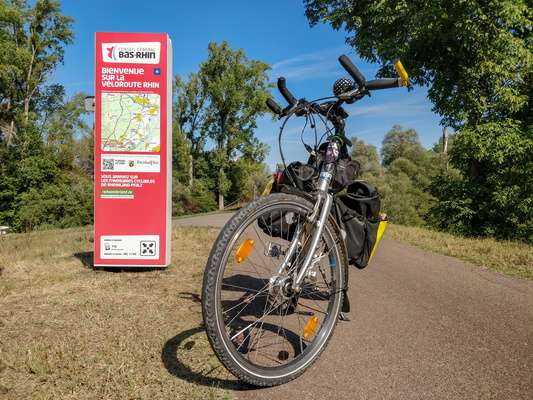
You are arriving to the cycling routes of Rheinland-Pfalz
-
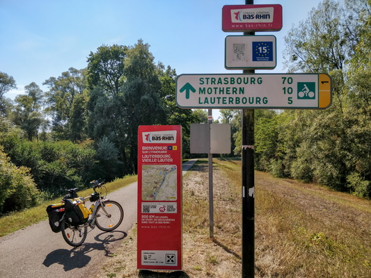
The northeasternmost border of continental France
-
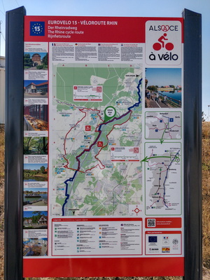
Véloroute Rhin infoboard near Lauterbourg
-
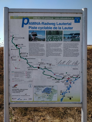
Panima-Radweg Lautertal information board
-
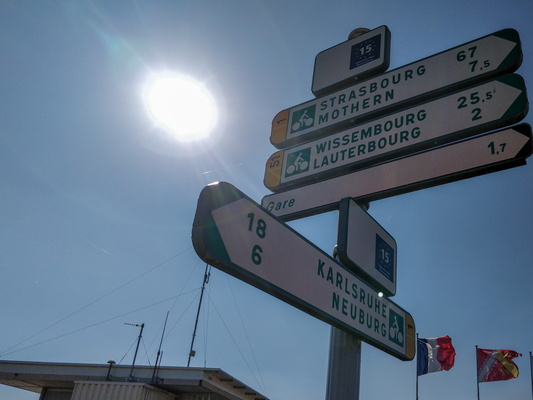
Cycling directions near Lauterbourg
-
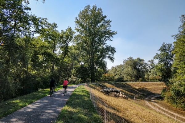
Véloroute du Rhin near Lauterbourg
-
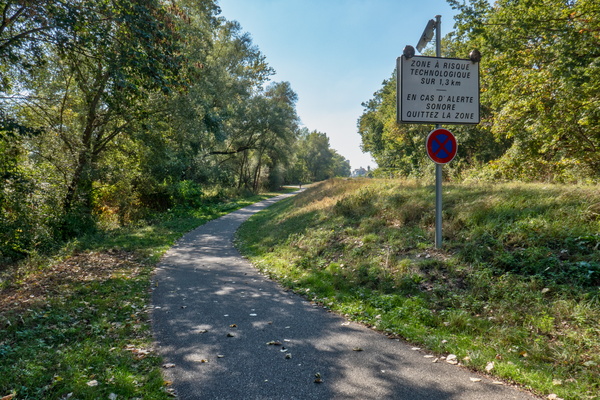
Technological risk area near Lauterbourg
-
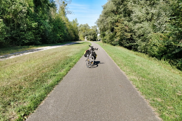
Véloroute du Rhin near Lauterbourg
-
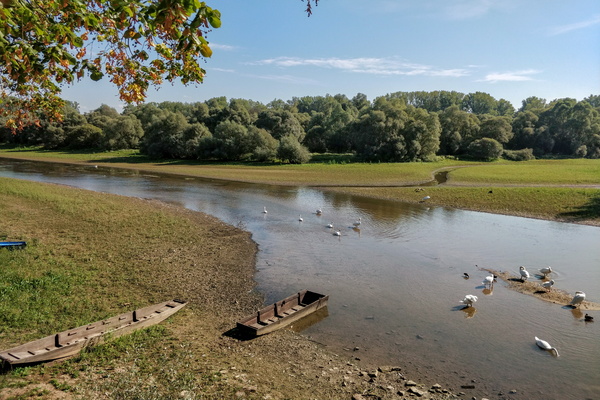
Sauer river delta
-
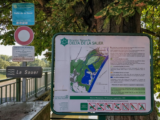
Sauer river delta information board
-
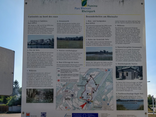
Panima Rhine park infoboard
-
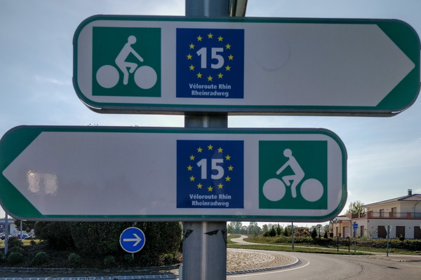
So, which way is it?
-
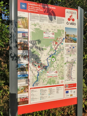
Véloroute Rhin infoboard in Drusenheim
-
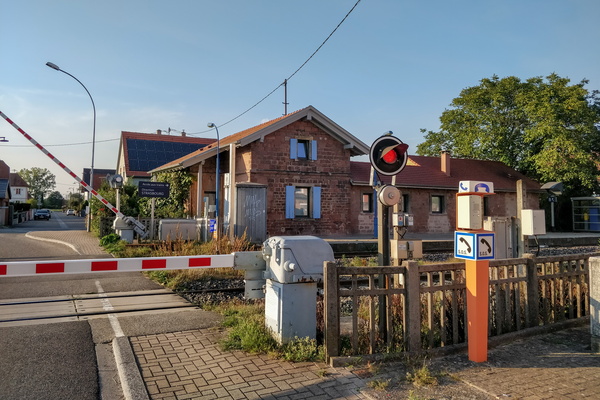
Railroad crossing
-
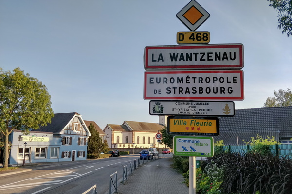
Entering Greater Strasbourg area
-
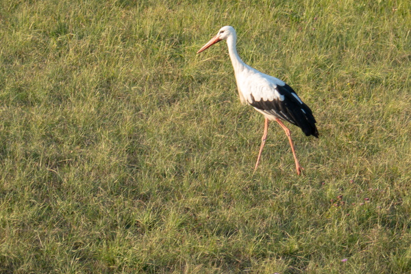
Stork
-
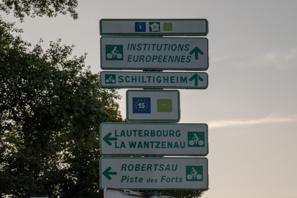
Eurovelo 5 and Eurovelo 15 merge/split point
-
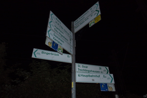
Cycling directions in Bingen
-
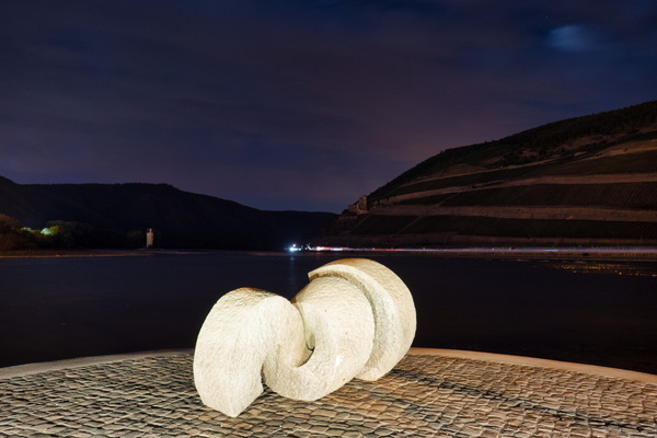
Rhein-Nahe-Eck, Bingen
-
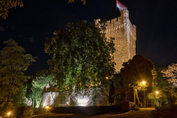
Burg Klopp, Bingen
-
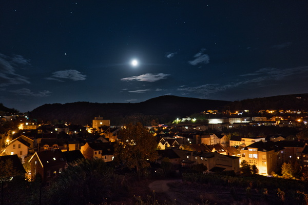
Night view at Riedelruhe viewpoint, Bingen
-
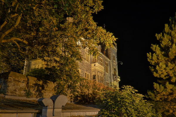
Burg Klopp
-
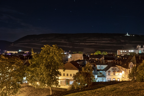
View from Bingen's Burg Klopp toward the Rhine river
-
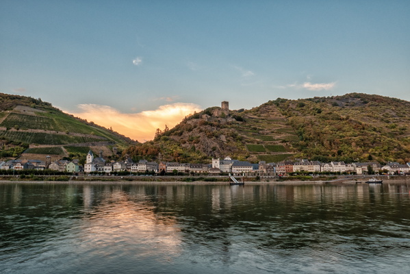
The village of Kaub
-
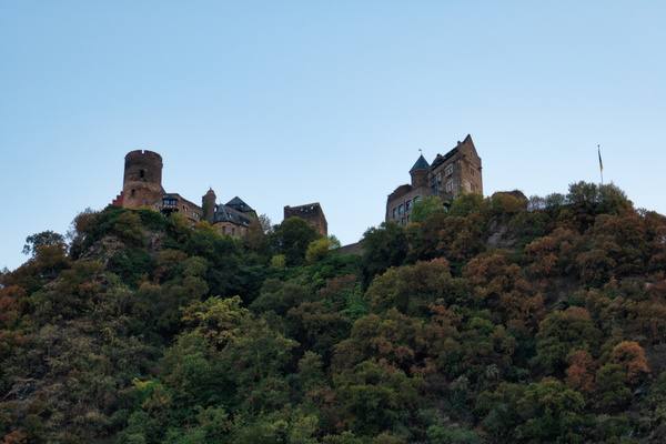
Burghotel Schönburg
-
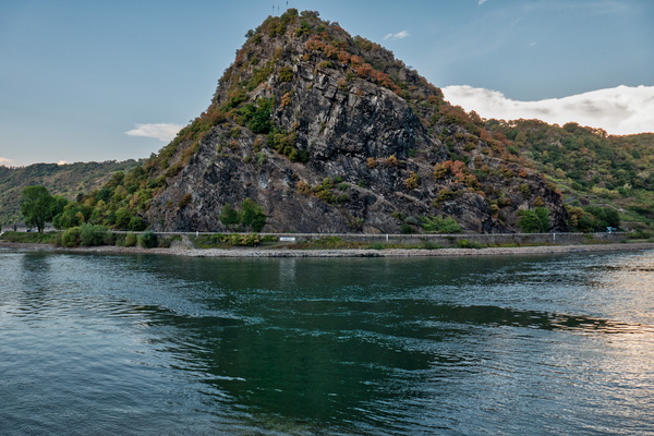
Lorelei peak
-
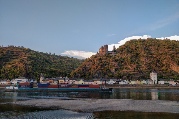
Containers
-
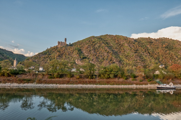
The village of Wellmich
-
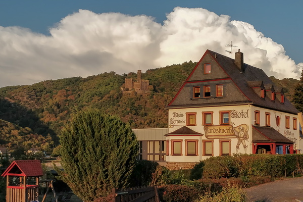
Hotel near Sankt Goar
-
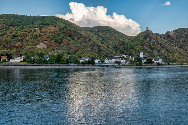
The village of Kamp-Bornhofen
-
A Rhine loop near Boppard
