-
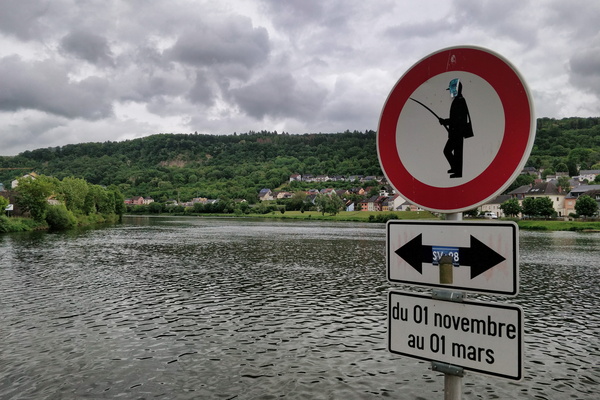
No fishing
-
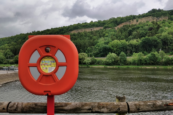
Moselle in Mertert
-
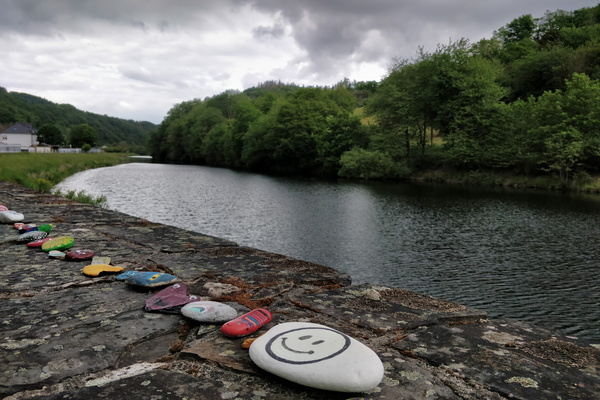
Stones in Stolzembourg
-
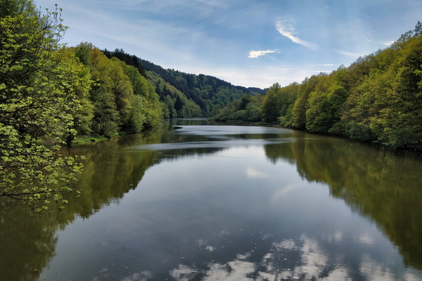
Lac de la Haute-Sûre at Misärsbréck
-
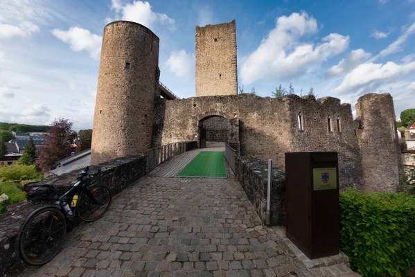
Useldange castle
-
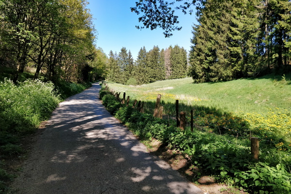
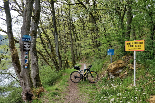
Trail at Misärsbréck
-
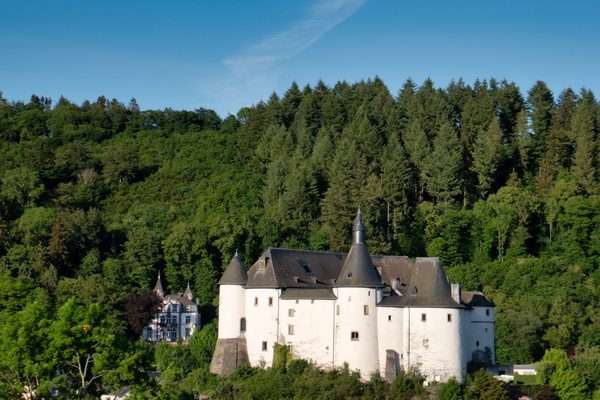
Clervaux castle
-
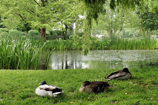
Sleeping ducks in Hesper Park
-
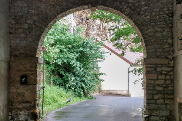
Heron bird
-
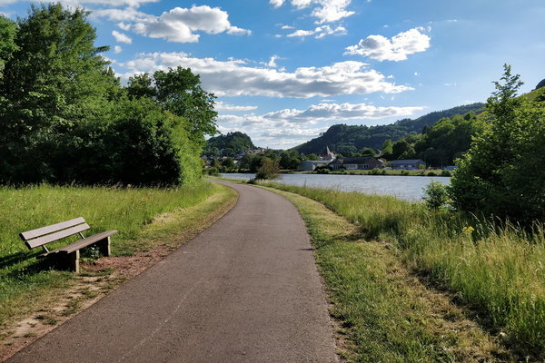
The Saar-Radweg
-
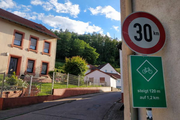
Climbing information sign
-
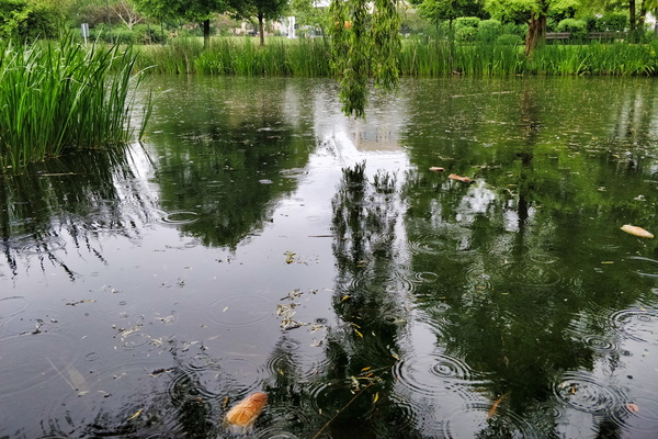
Rain in Hesper Park
-
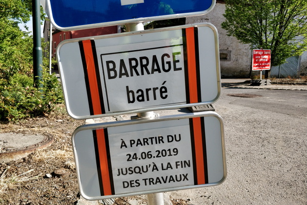
Barrage barré?
-
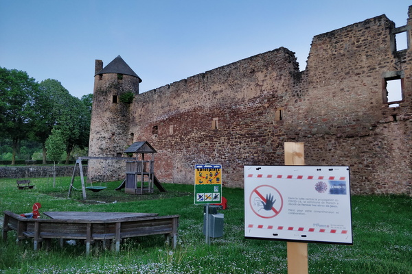
A castle and a closed playground
-
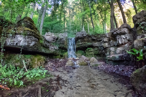
Hunnebur waterfall
-
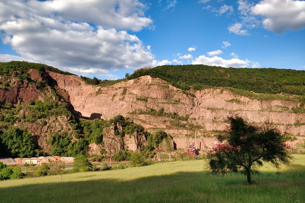
Quarry
-
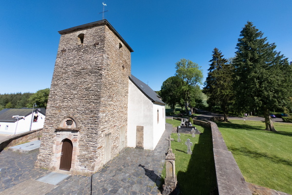
Rindschleiden church
-
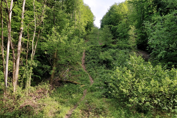
Hell of a path!
-
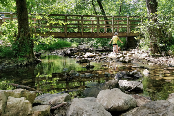
A stop at drëps picnic place
-
Rindschleiden church
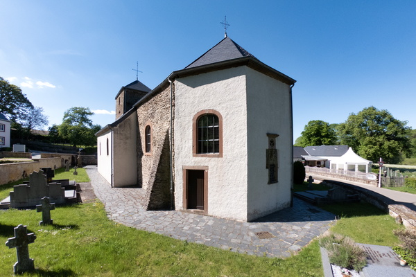
-
Moselle valley
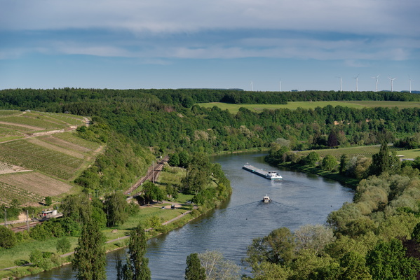
-
The town of Saarburg
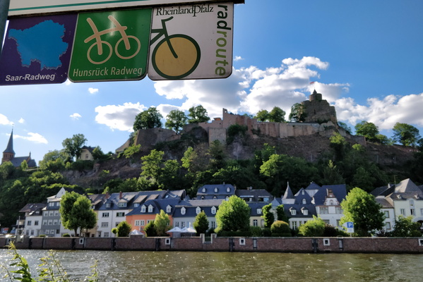
-
Cycling to the office in Mamerdal
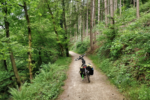
-
I'm looking like a tripod
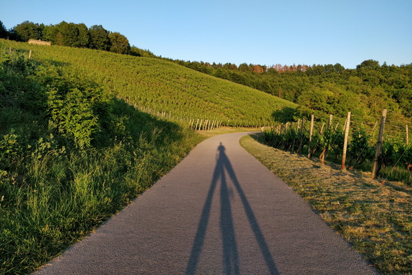
-
A steep slope ahead in Wormeldange
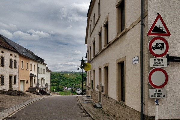
-
Forbidden but go at your own risk
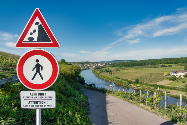
-
Cycling directions near Serrig
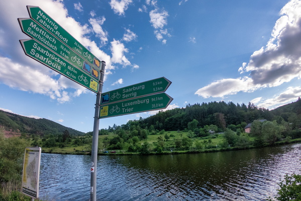
-
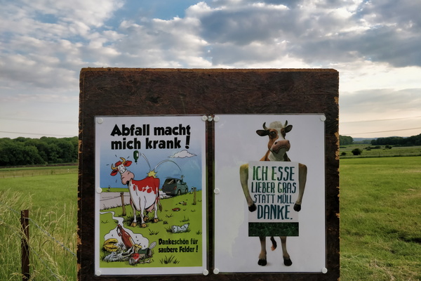
Anti-littering campain
-
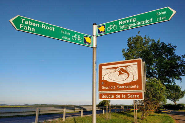
Cycling directions between the Saar and Moselle valleys
-
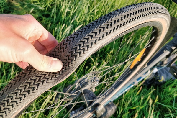
First puncture in a long time
-
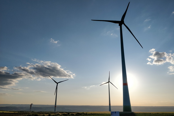
Windmills
-
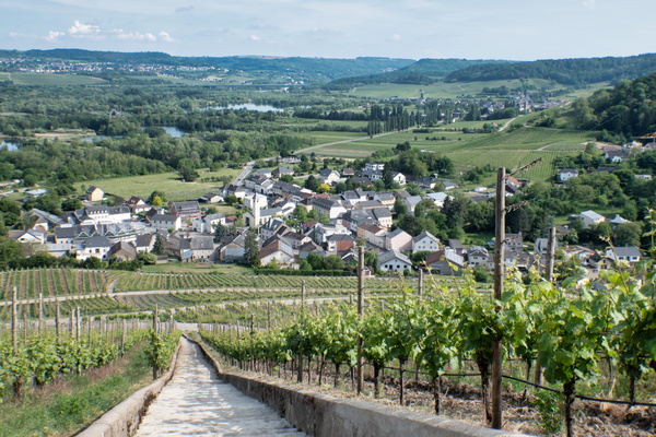
Vineyards near the Moselle
-
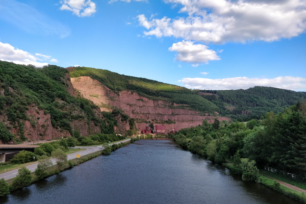
On a bridge over the Saar river
-
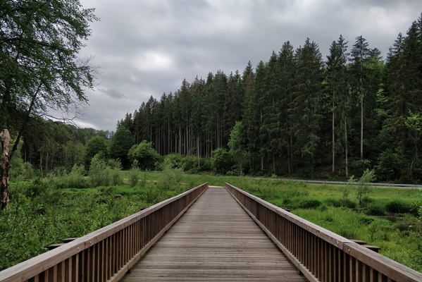
Bridge over the White Ernz river on PC 5
-
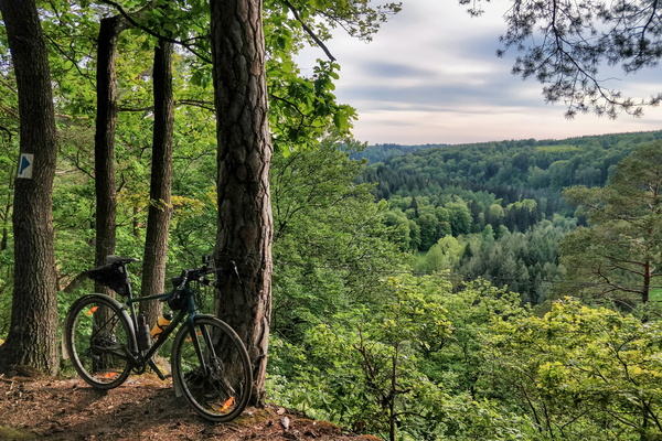
Priedigstull viewpoint
-
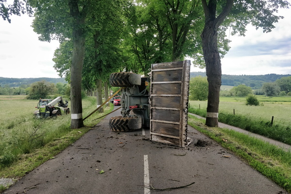
Oops!
-
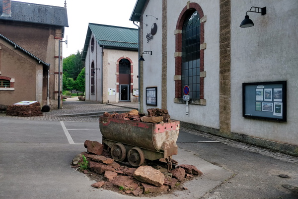
Ellergronn
-
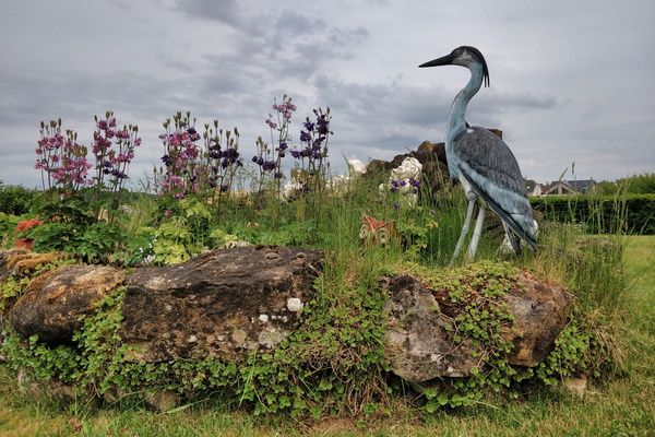
A garden in Steinfort
-
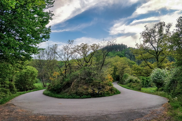
PC 16 near Niederfeulen
-
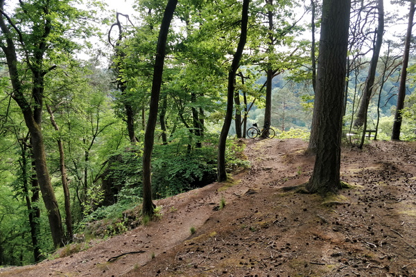
Near Priedigstull viewpoint
-
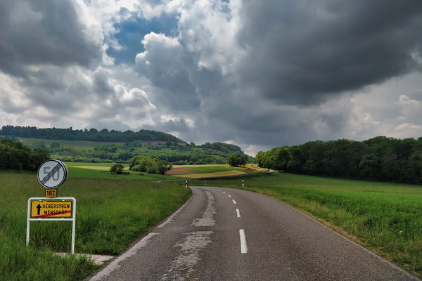
Chasing Cumulonimbus
-
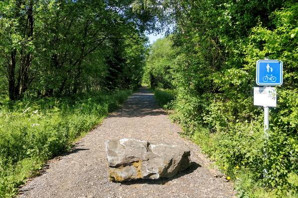
pré-RAVeL L163 cycleway between Libramont and Bastogne
-
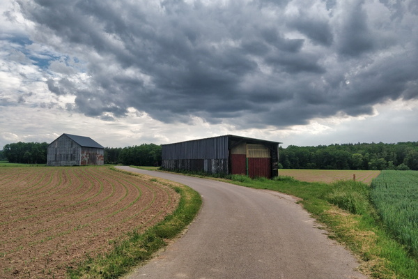
Before the rain
-
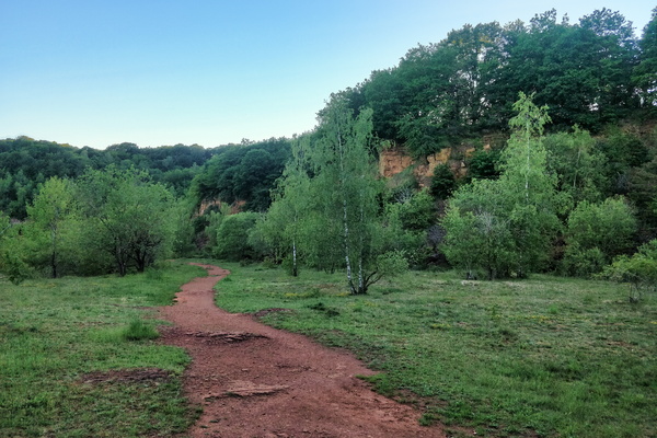
The Red Rocks
-
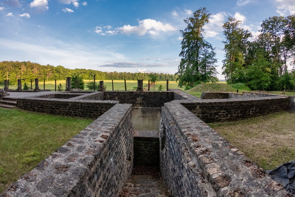
Villa Romaine Goeblange
-
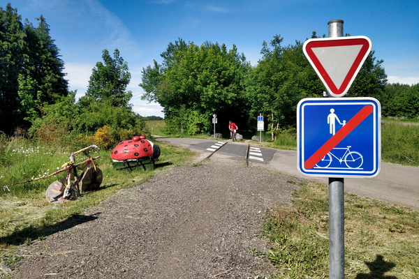
pré-RAVeL L163 cycleway between Libramont and Bastogne
-
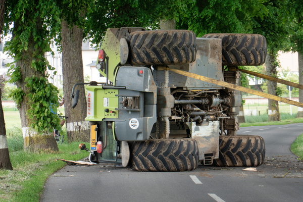
Oops!
-
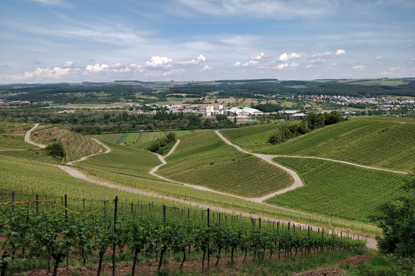
Vineyards near the Moselle
-
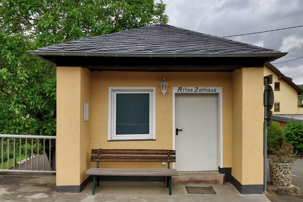
Old German customs
-
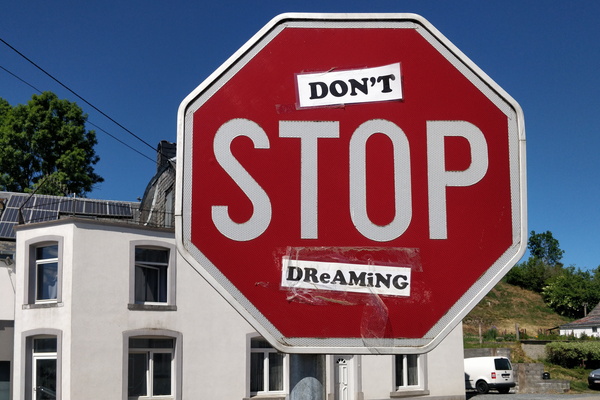
Don't stop dreaming
-
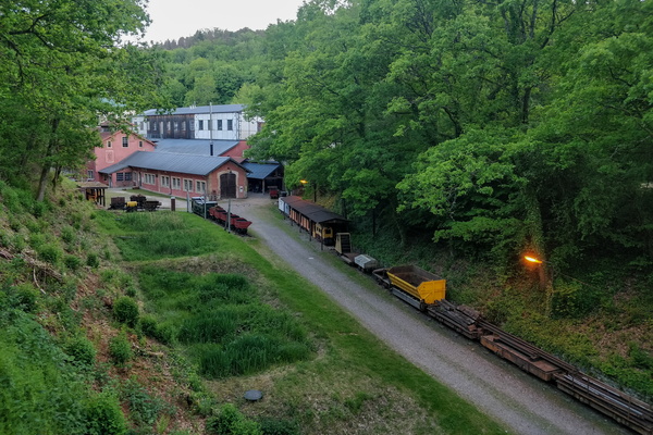
Ellergronn
-
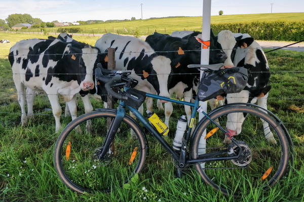
Showtime in Niederpallen
-
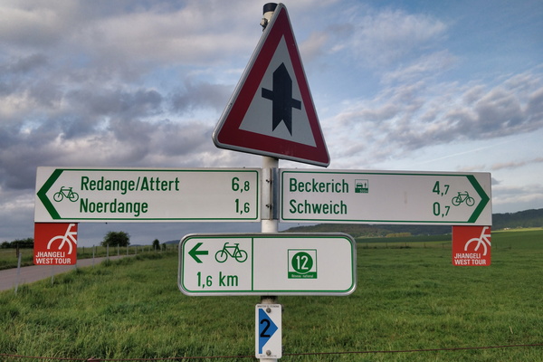
Cycling directions in Schweich
-
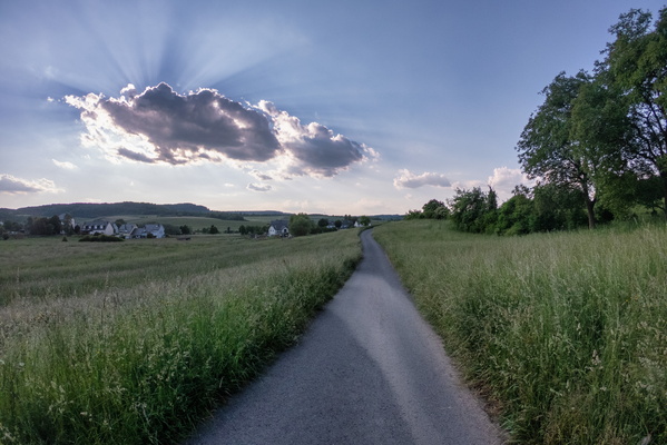
Sun is hiding
-
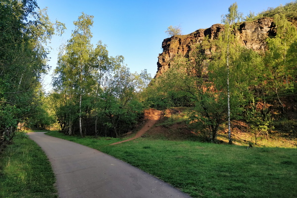
The Red Rocks
-
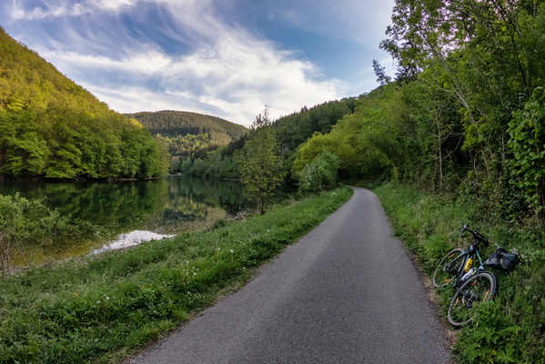
Sauertal between Esch-sur-Sûre and Heiderscheidgrund
-
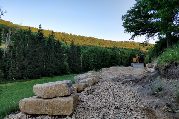
PC 14 extention construction works
-
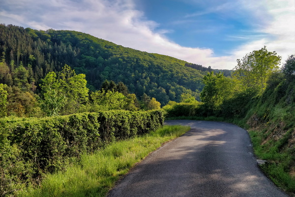
About to dive down to Esch-sur-Sûre
-
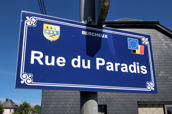
Rue du Paradis
-
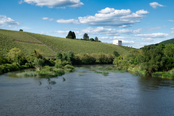
The Saar river near Ayl
-
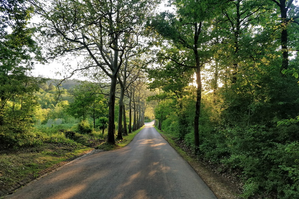
Down to Esch
-
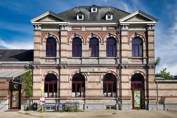
Bastogne-Sud station
-
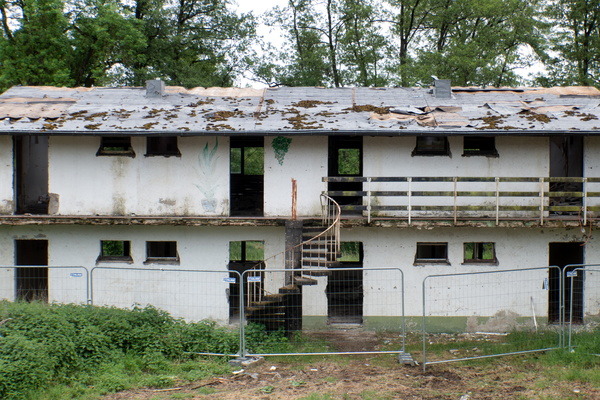
Cité Syrdall in Wecker
-
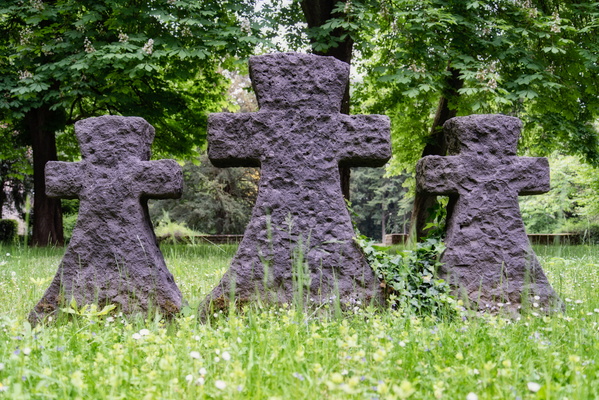
Clausen German war cemetery
-
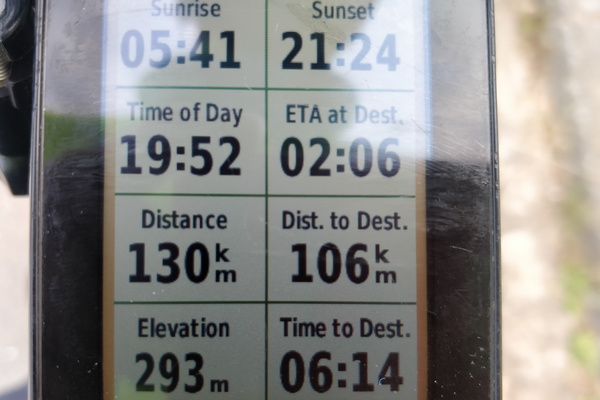
When Garmin didn't realise that I took a shortcut
-
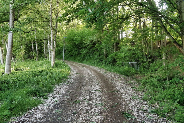
Petal covered way
-
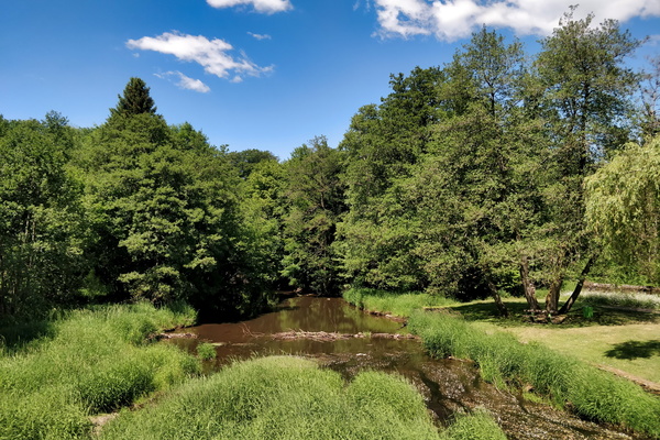
La Rulles river in Habay
-
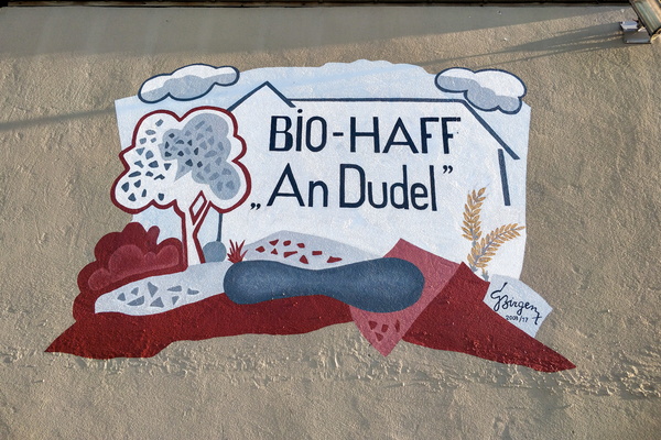
An Dudel organic farm mural
-
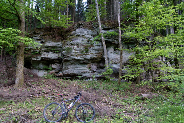
Rocks near Fréinland (Grünewald)
-
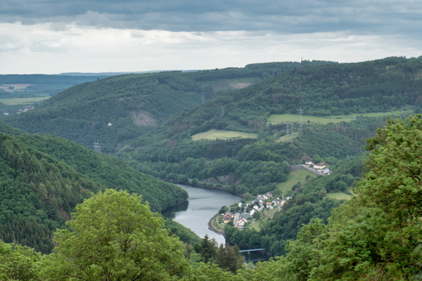
The Our river valley
-
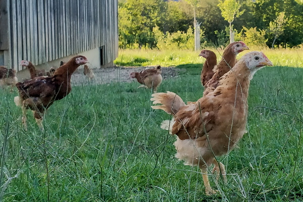
Henses
-
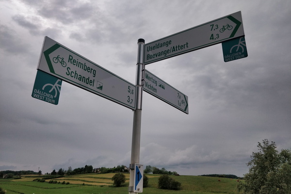
Cycling directions in Vichten
-
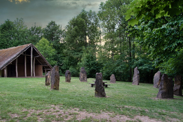
Maison Néolithique, Blaschette
-
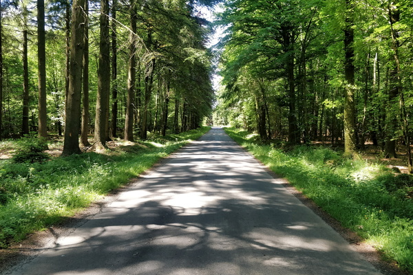
Quiet road between Habay and Neufchâteau
-
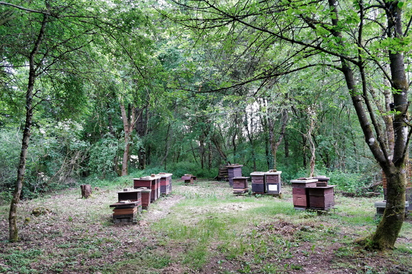
Beehives
-
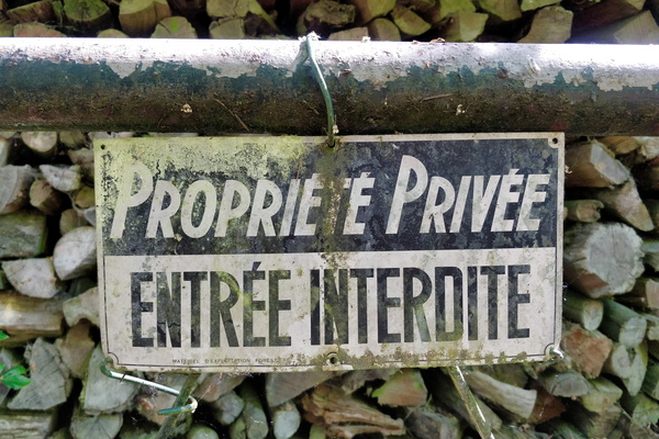
Access restricted to the Sauer river source
-
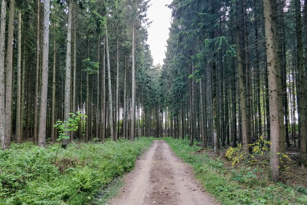
Grünewald forest track
-
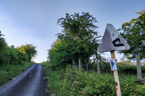
Old sign
-
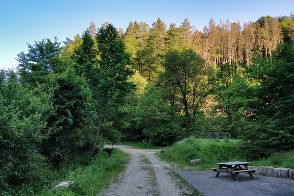
Track and picnic place between Hollenfens and Marienthal
-
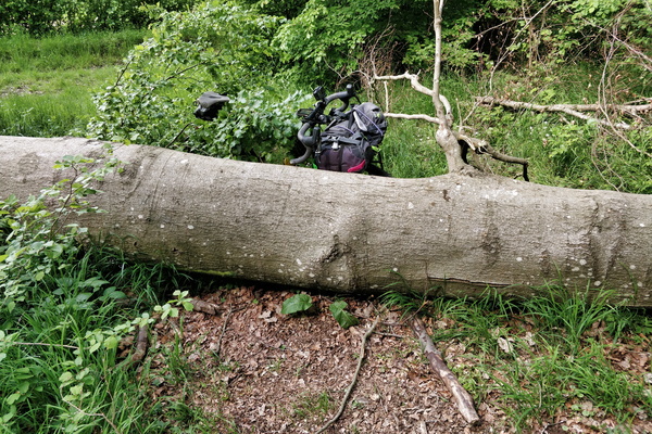
Tree on the ground!
-
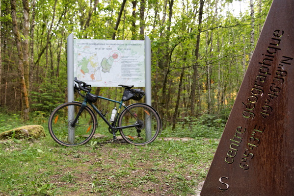
Geographical center of Luxembourg
-
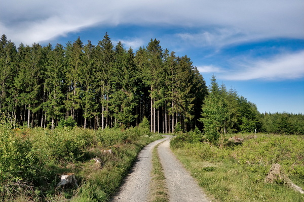
Track on the way between Bastogne and Clervaux
-
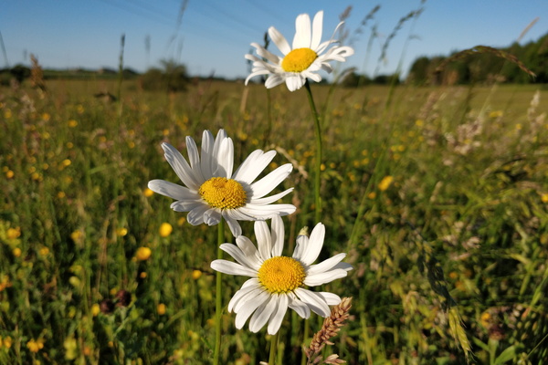
Flowers
-
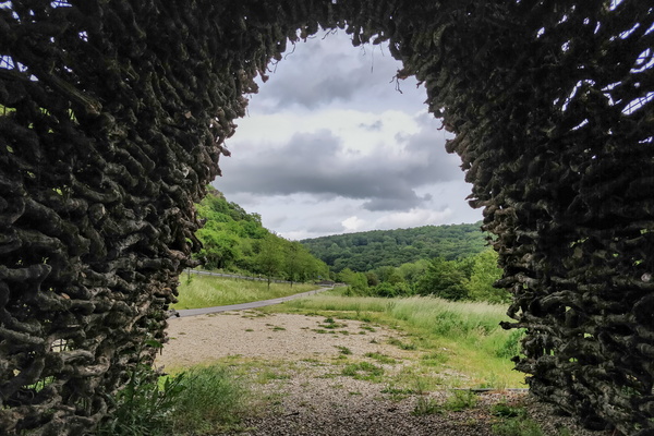
Das Weintor
-
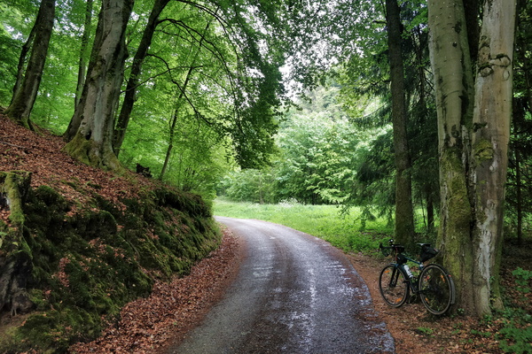
Waiting for the rain to stop
-
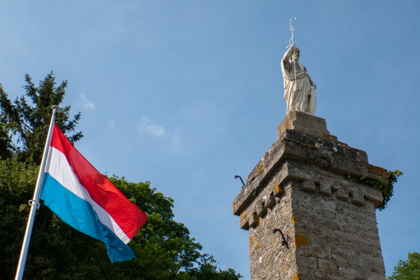
Saint-Donatius monument
-
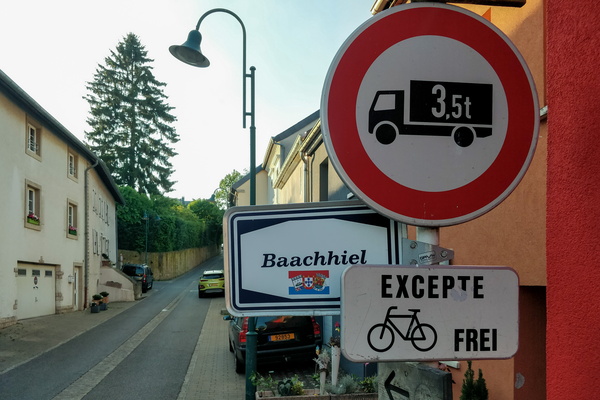
Cycling challenge
-
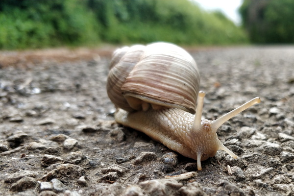
This snail is on a road that is unlikely to be visited
-
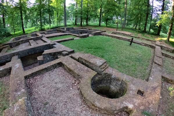
Villa Romaine Goeblange
-
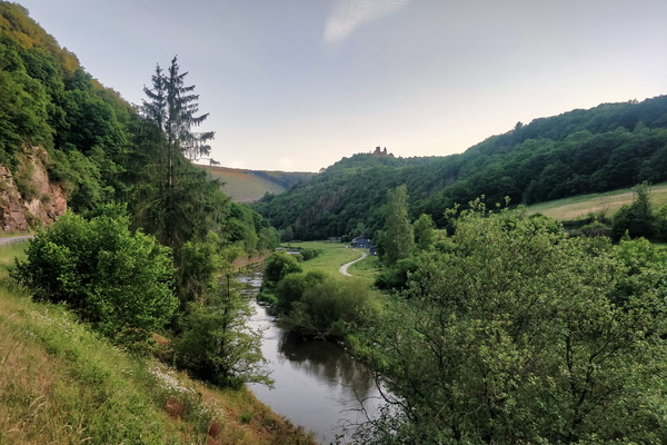
Sauertal near Bourscheid-Moulin
-
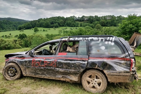
What a car!
-
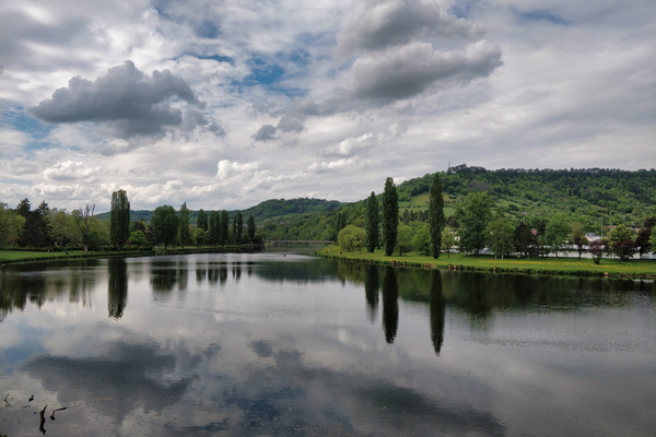
Sauer river in Rosport
-
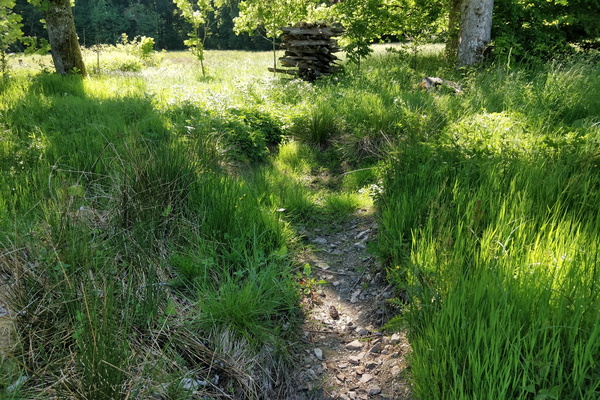
Source of the Sûre river
-
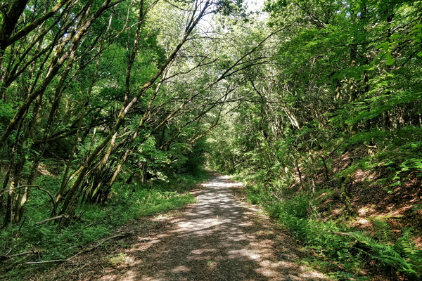
RAVeL rhymes with gravel
-
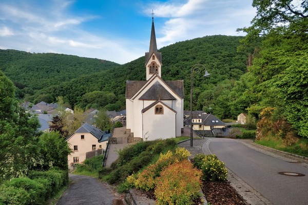
The village of Welscheid
-
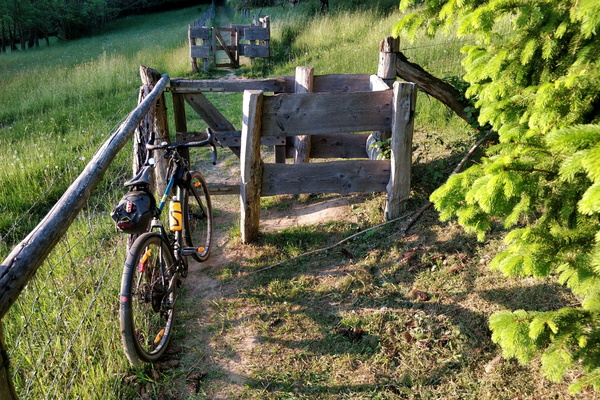
A cycling barrier
-
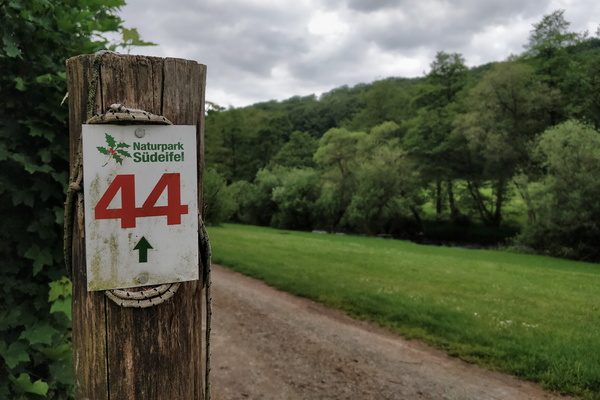
Naturpark Südeifel hiking route
-
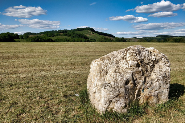
View from Saar-Radweg near Kanzem
-
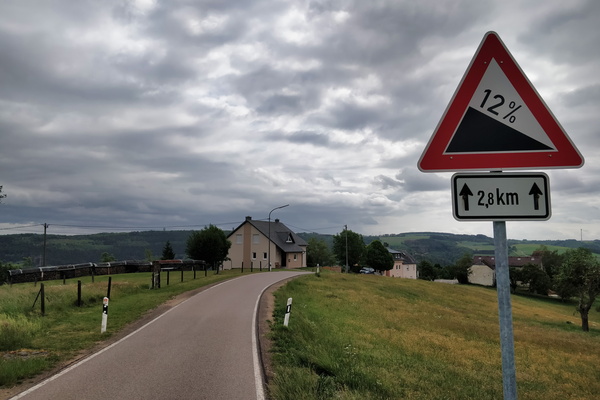
Get ready to roll down
-
About to reach PC 12 from Hobscheid
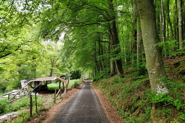
-
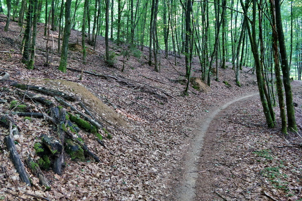
Forest path near Hobscheid
-
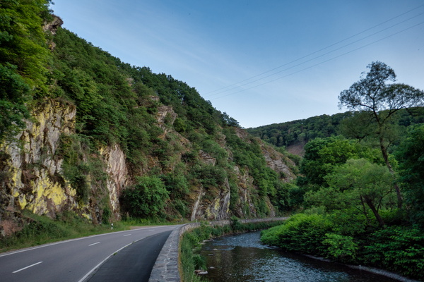
Sauertal near Erpeldange-sur-Sûre
-
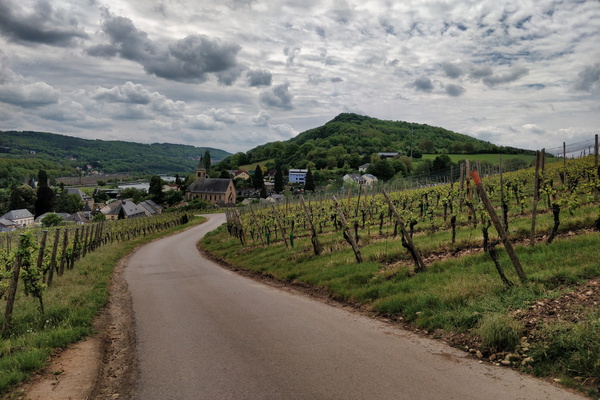
Vineyards near Schengen
-
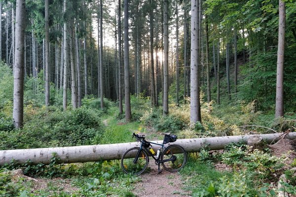
Another cycling challenge
-
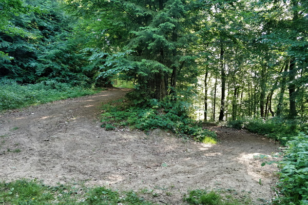
Track going to the Valley of the Seven Castles
-
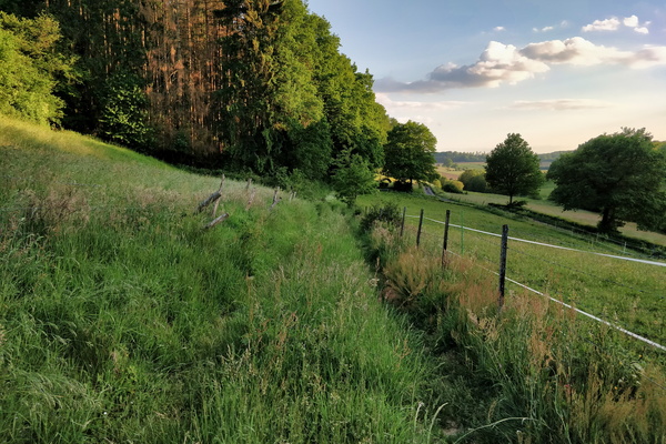
OpenStreetMap track survey
-
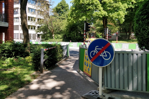
Social distancing
-
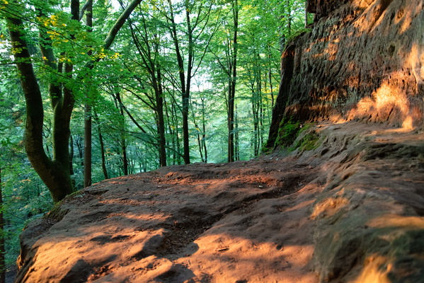
Gourmangslay cave
-
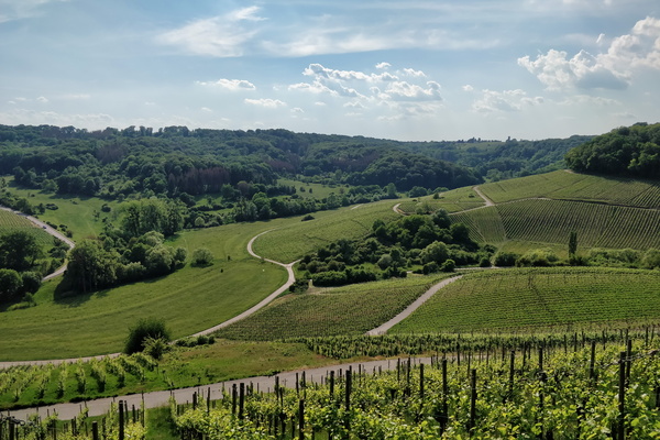
Vineyards near the Moselle
-
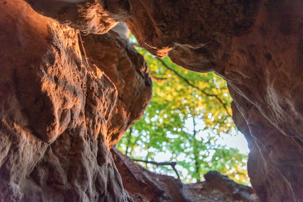
Gourmangslay cave
-
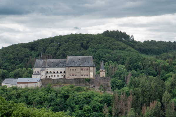
Vianden castle
-
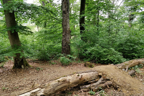
Another tree on the ground
-
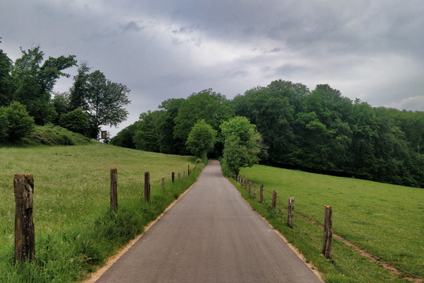
New cycleway between Boevange and Vichten
-
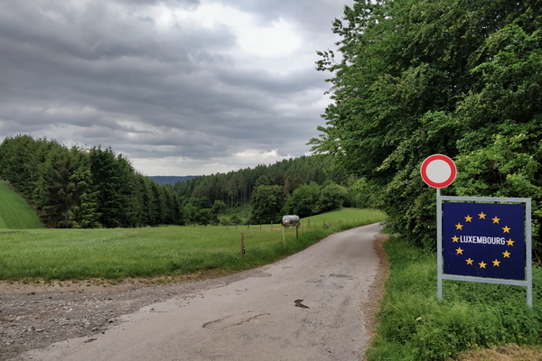
Land border between Germany and Luxembourg
-
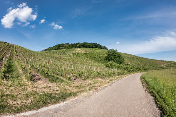
Vineyards near the Moselle
-
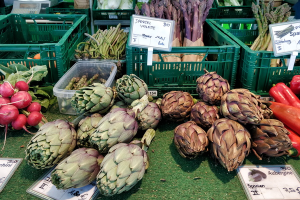
Market
-
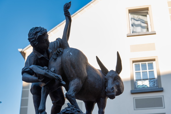
l'âne à ducats
-
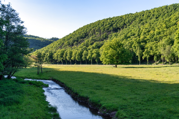
Wark valley near Warken
-
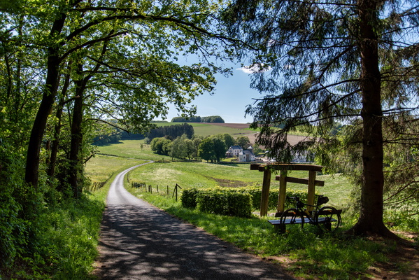
Getting to Rindschleiden
-
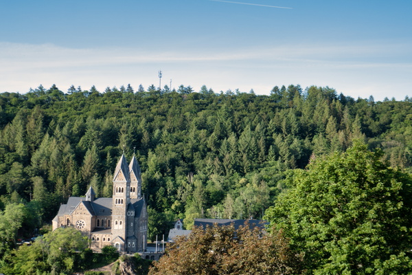
Clervaux church
-
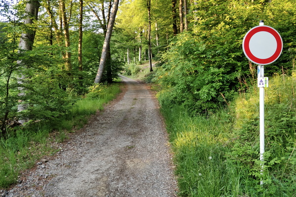
MTB trail near Mensdorf
-
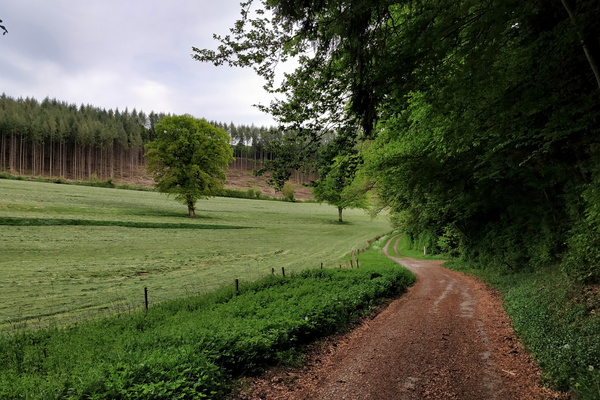
Track next to PC 12 in Hovelange
-
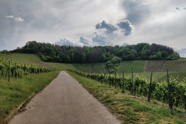
Vineyards near the Moselle
-
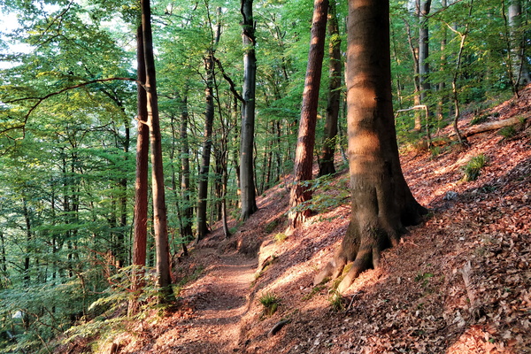
Forest near Gourmangslay, Lorentzweiler.
-
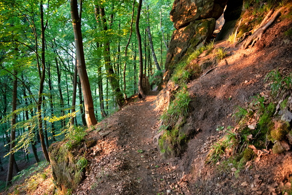
Forest near Gourmangslay, Lorentzweiler.
-
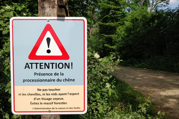
Oak processionary caterpillars warning sign
-
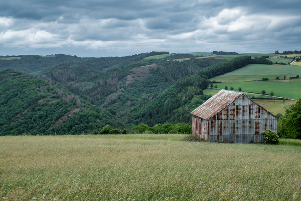
View on Ourtal near Groësteen
-
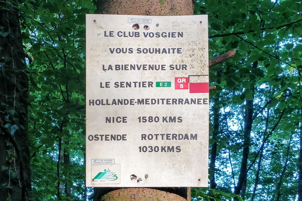
Welcome to the GR 5 hiking trail
-
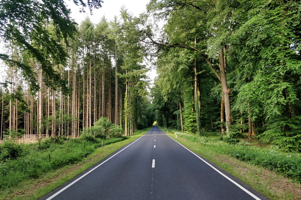
N 8 road near Hobscheid
-
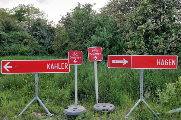
Choose your diversion
-
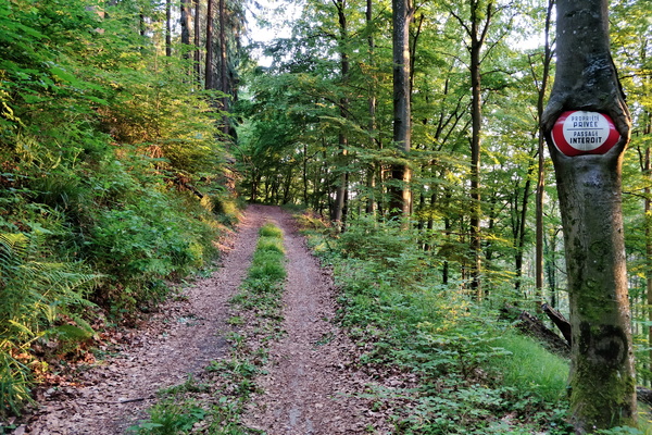
Private property
-
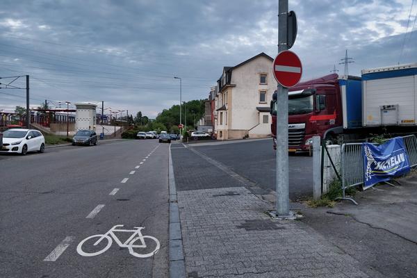
Cycling and NO cycling in Lamadelaine
-
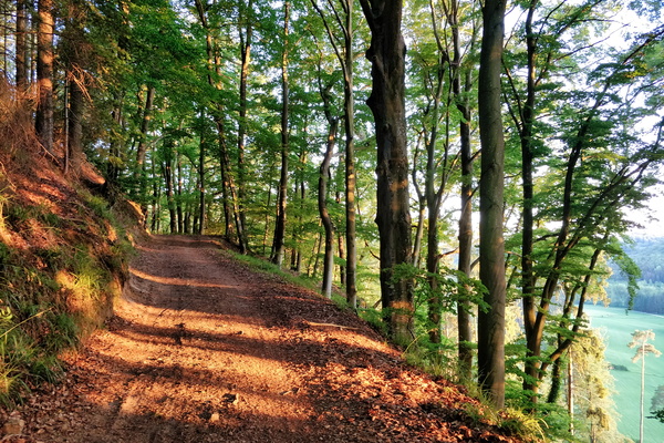
Climbing above Mamerdal
-
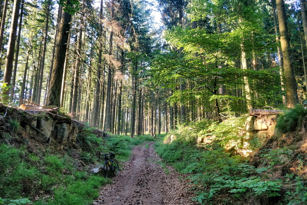
In the forest between Gosseldange and Schoenfels
-
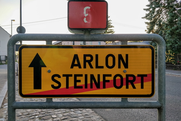
What can happen if I go forward?
-
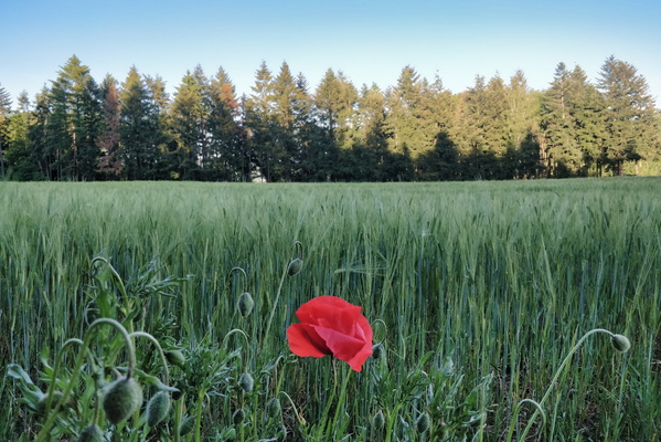
Poppy flower
-
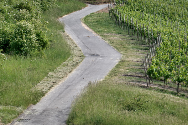
Vineyards near the Moselle
-
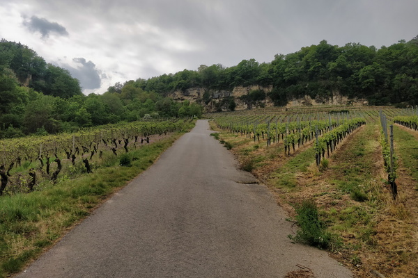
Hell of a climb near Grevenmacher
-
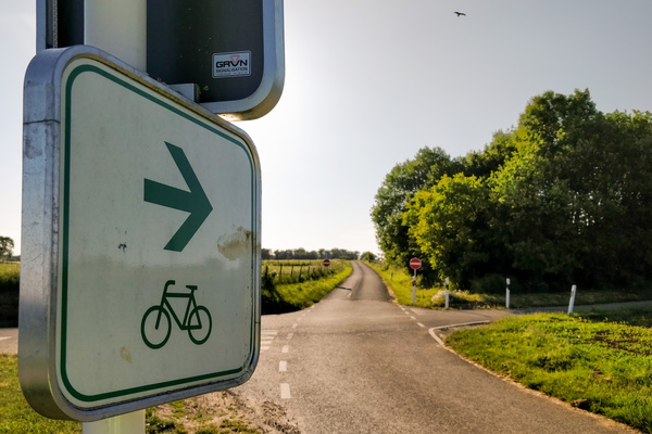
Please go cycle to this one-way road
-
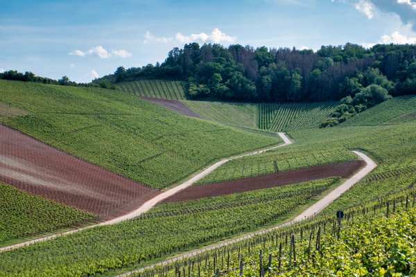
Vineyards near the Moselle
-
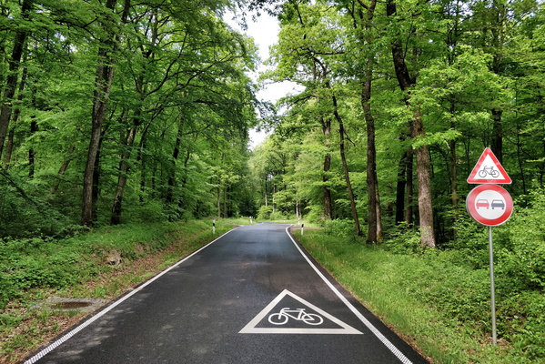
Intersection between CR 301 and PC 17
-
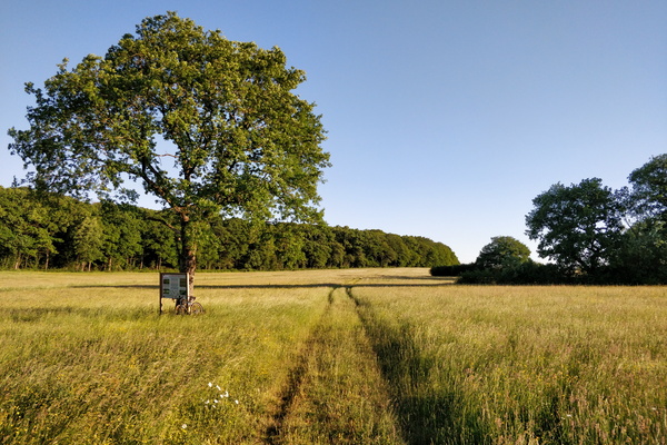
Nature reserve between Schouweiler and Bascharage
-
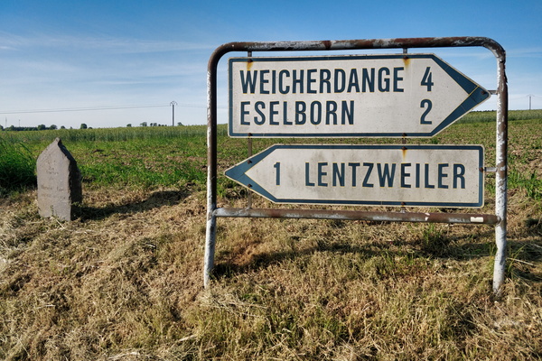
Good-old sign
-
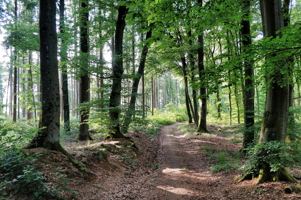
Forest track near Septfontaines
-
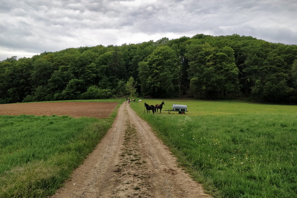
Track near Bettendorf
-
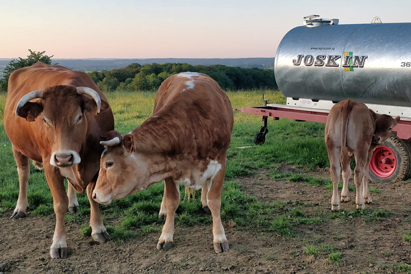
Cows
-
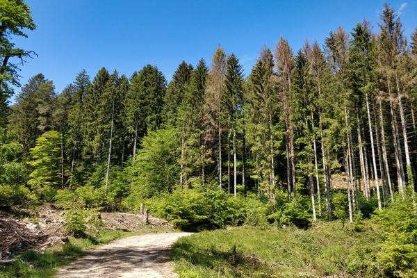
Forest near Beckerich
-
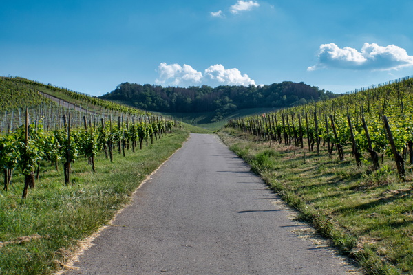
Vineyards near the Moselle
-
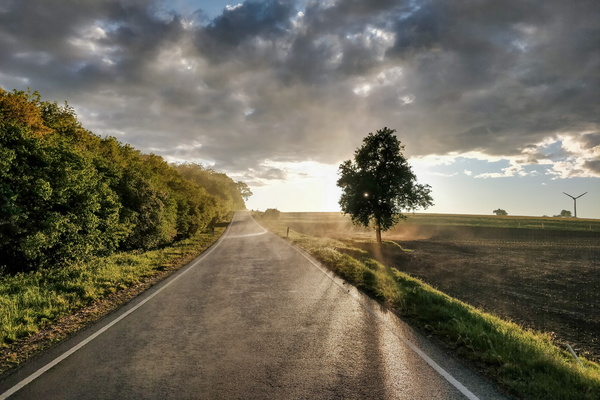
Evaporation on the road after the thunderstorm
-
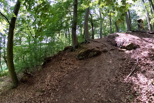
Steep slope
-
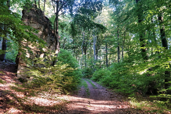
In the forest between Gosseldange and Schoenfels
-
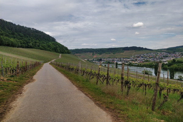
Vineyards near Wormeldange
-
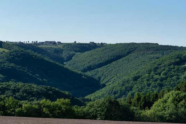
Warkdall from above
-
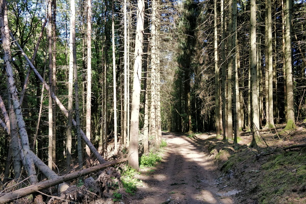
Forest track to Kuborn from Heispelt
-
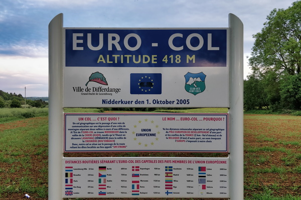
Euro-col
-
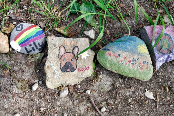
Stones
-
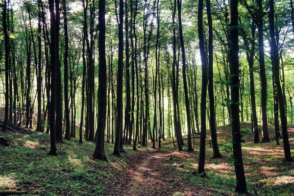
Forest near Bridel
-
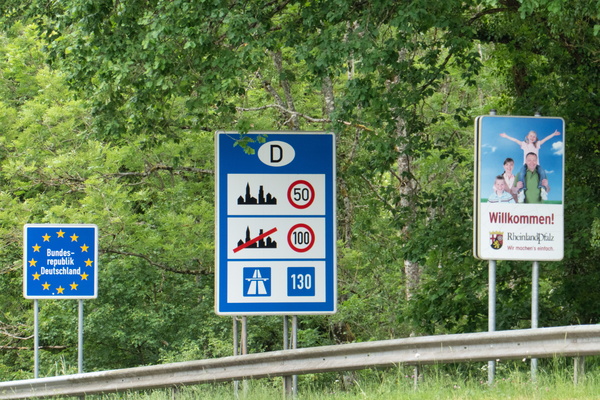
Welcome sign
-
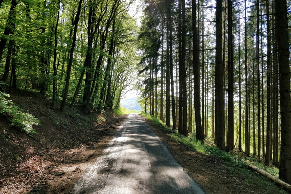
Road CR 316; looks like a cycleway to me
-
Cycling lane going to the thunderstorm

-
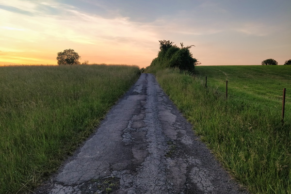
Track near Bettembourg
-
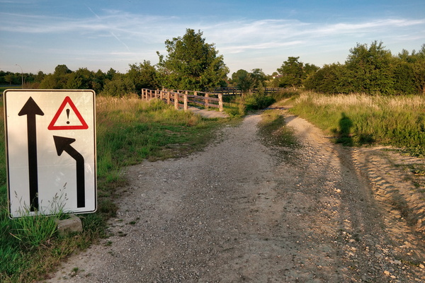
Trying to get the sense of this sign
-
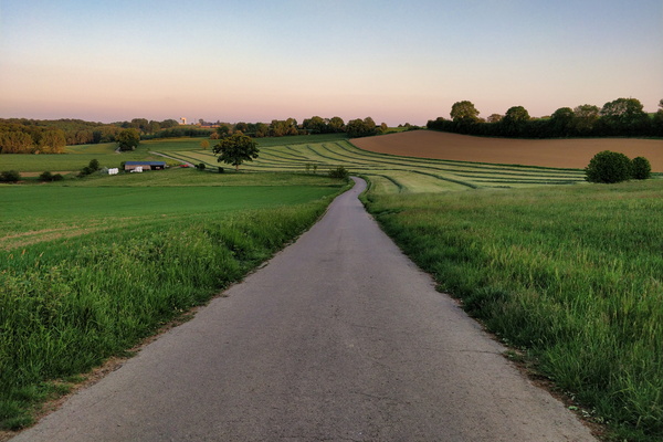
Cycling route between Garnich and Dahlem
-
Climb out of Kuborn to Hierheck
