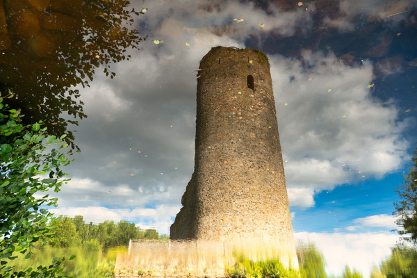
-
Maginot line
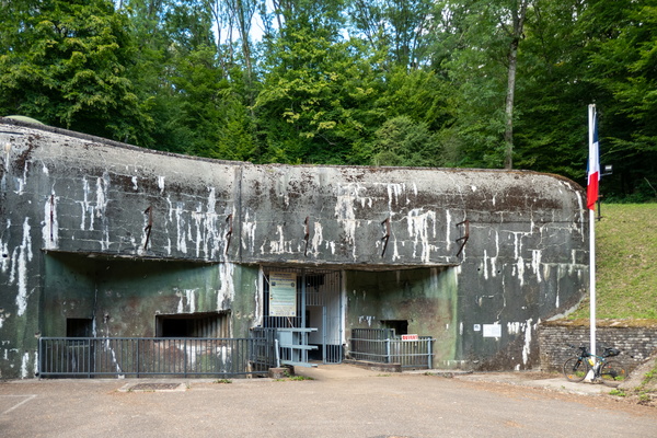
-
The cloud factory
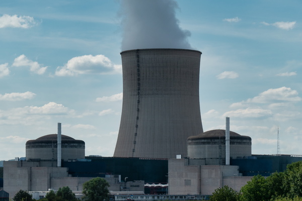
-
Cycling infrastructure near Cattenom
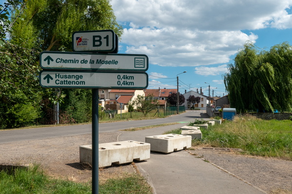
-
Passing distance information sign

-
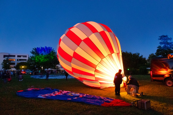
Hot air balloon
-
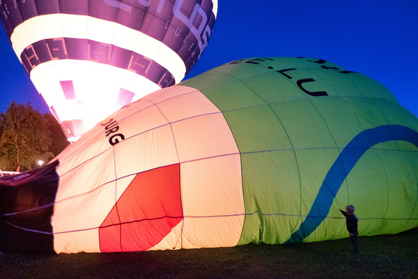
Hot air balloon
-
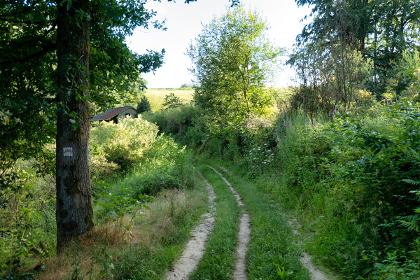
Cycling on Mullerthal Trail
-
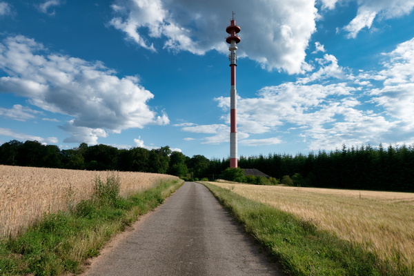
Communications tower
-
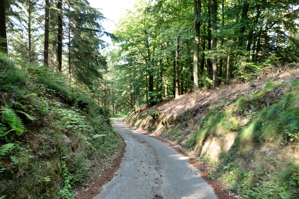
Gousselerbierg climb
-
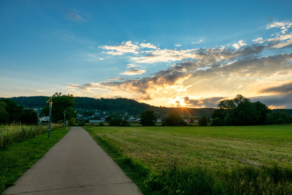
Sunset near Heisdorf
-
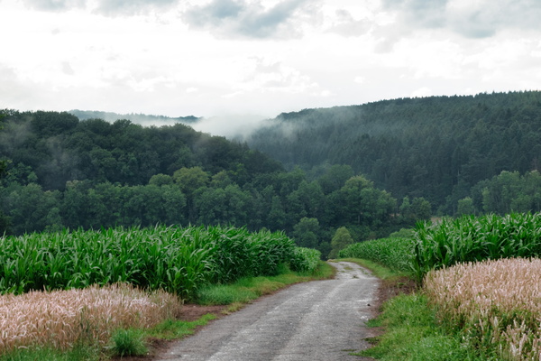
Clouds after the rain
-
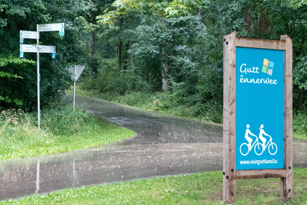
Let it rain
-
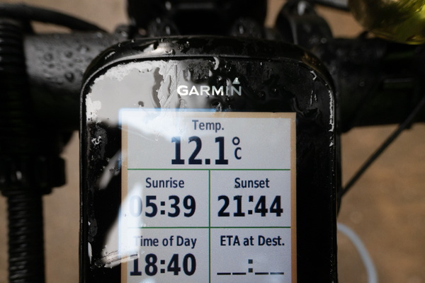
Temperature drop after a cold shower
-
Let it rain
-
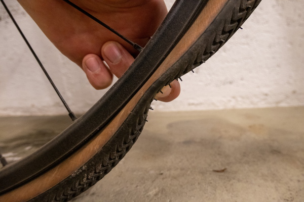
Tyre puncture
-
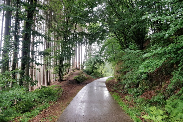
Rain in the forest
-
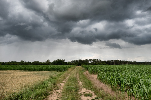
Before the shower
-
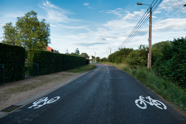
New cycling infrastructure in Barnich
-
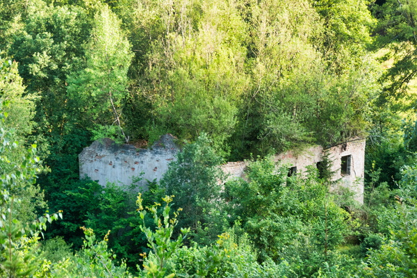
Green house
-
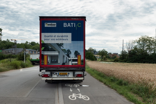
Sustainable parking
-
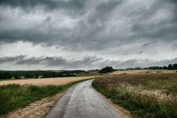
Threatening sky near Kehlen
-
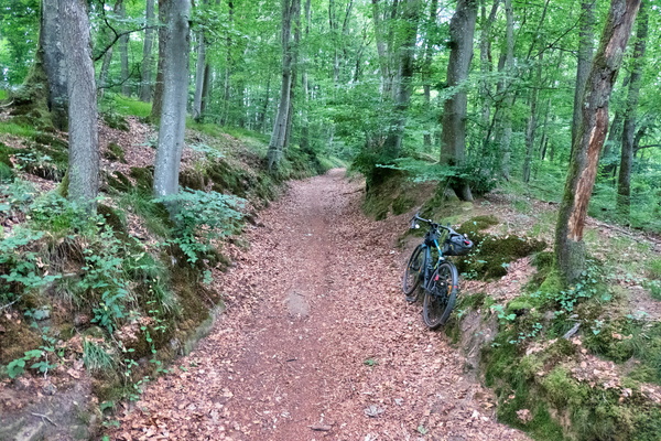
Forest track between Mamer and Kehlen
-
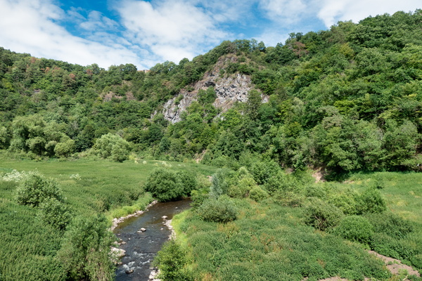
Nahe-Radweg near Enzweiler
-
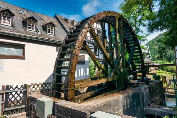
Water mill in Kurpavillon, Bad Münster
-
Nahe-Radweg near Bärenbach
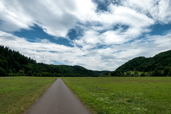
-
Ruwer-Hochwald-Radweg near Mertesdorf
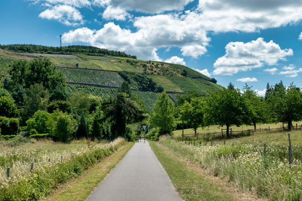
-
Ruwer-Hochwald-Radweg near Waldweiler
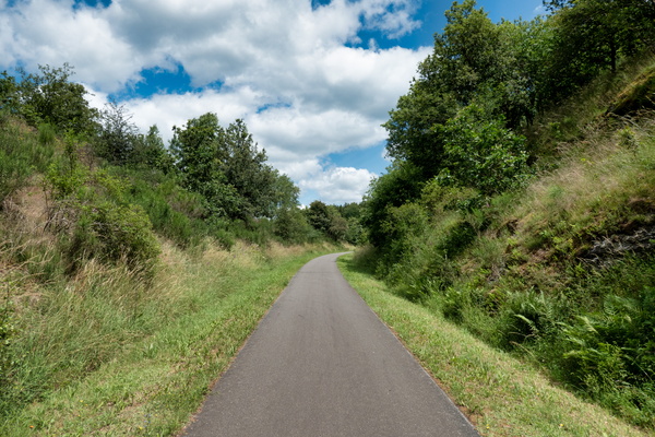
-
Hunsrück-Radweg & Ruwer-Hochwald-Radweg
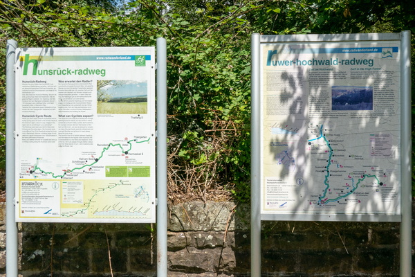
-
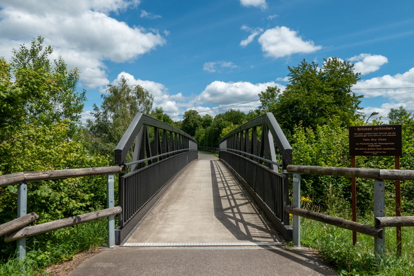
Cycling directions in Kell am See
-
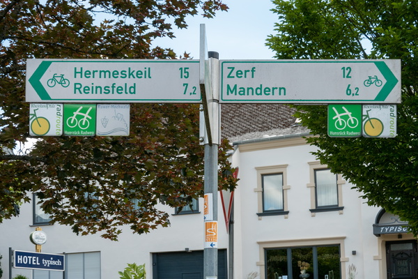
Cycling directions in Kell am See
-
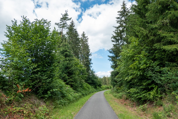
Cycling near Kell am See
-
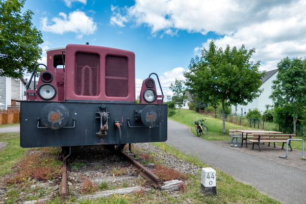
Train in Reinsfeld
-
Cycling near Reinsfeld
-
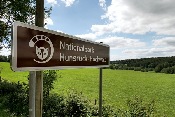
Nationalpark Hunsrück-Hochwald
-
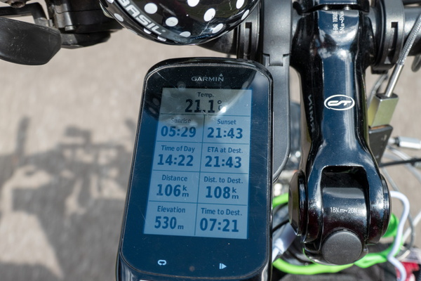
I should arrive at the Rhine just for sunset
-
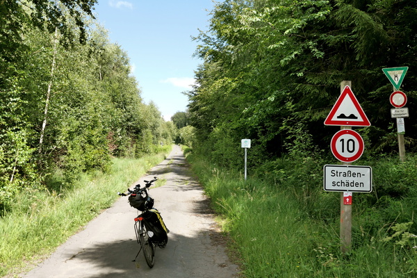
Hunsrück-Radweg in Nationalpark Hunsrück-Hochwald
-
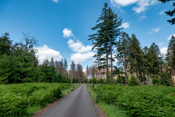
Hunsrück-Radweg near Erbeskopf
-
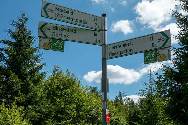
Cycling directions near Ruppelstein
-
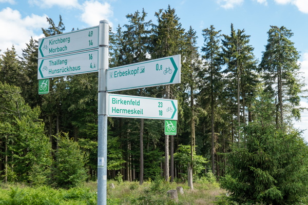
Cycling directions near Erbeskopf
-
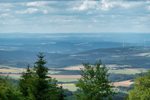
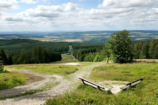
View from Erbeskopf
-
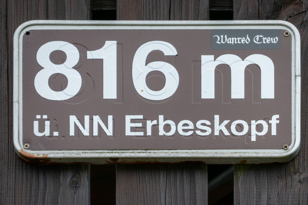
Erbeskopf: the highest elevation of the trip
-
Erbeskopf
-
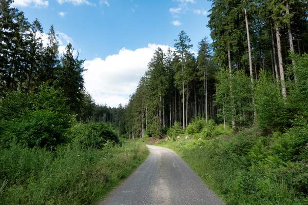
Hunsrück-Radweg near Morbach
-
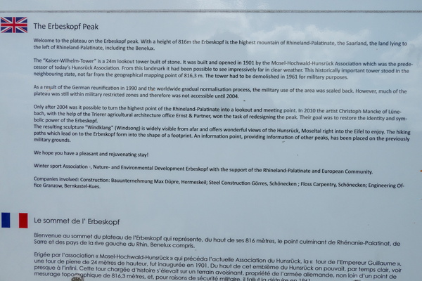
The Erbeskopf Peak information board
-
Castle Ruin Baldenau reflection