-
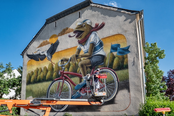
Work in progress
-
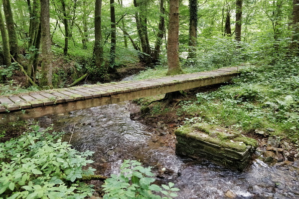
Wooden bridge near nowhere
-
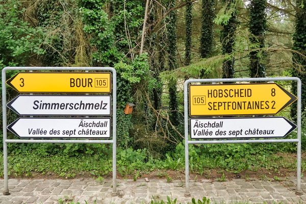
Which way to Äischdall?
-
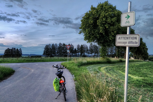
Where PC 18 goes on the main road
-
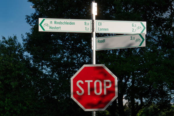
Where PC 17 meets several local cycling routes
-
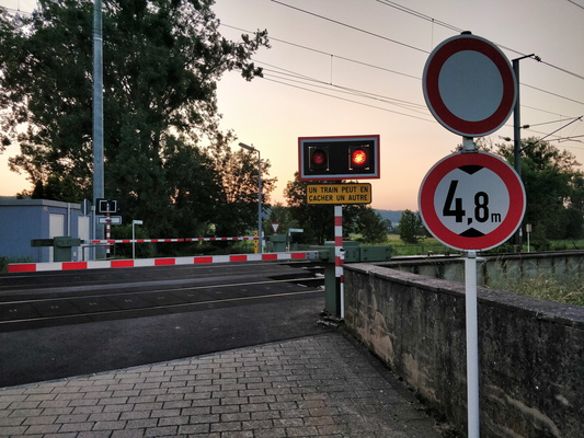
When this happens, it can take a while...
-
Wheat
-
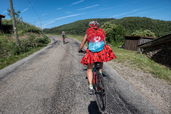
Well-dressed cyclist
-
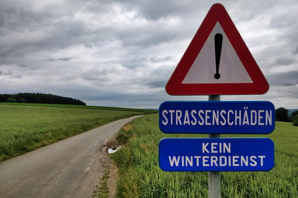
Welcome to the German speaking part of Belgium
-
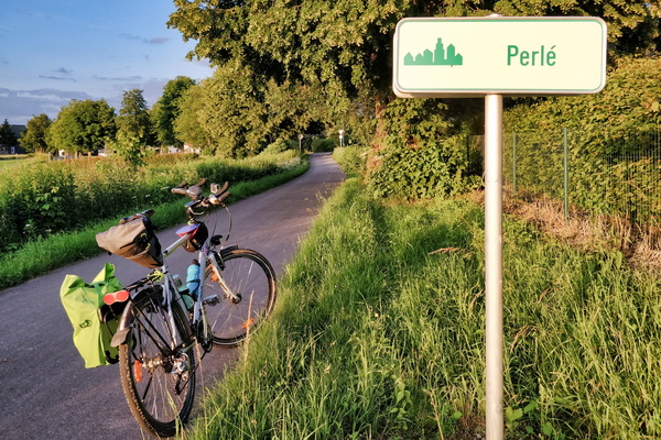
Welcome to Perlé
-
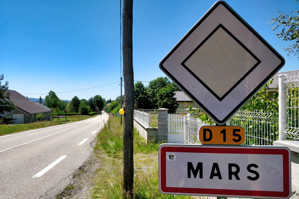
Welcome to Mars
-
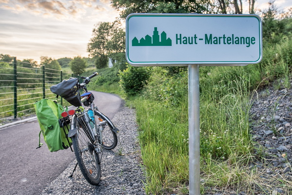
Welcome to Haut-Martelange
-
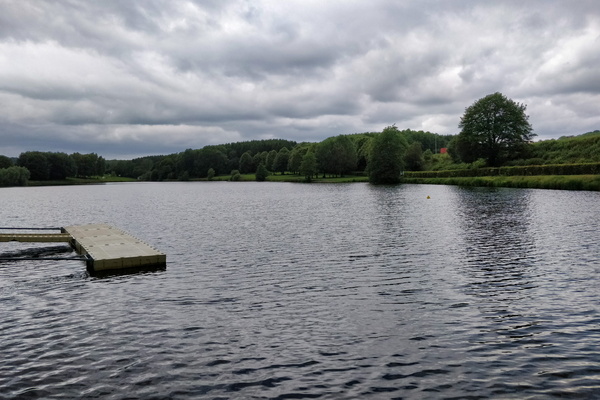
Weiswampach lake
-
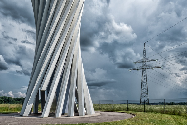
Water, air and wires
-
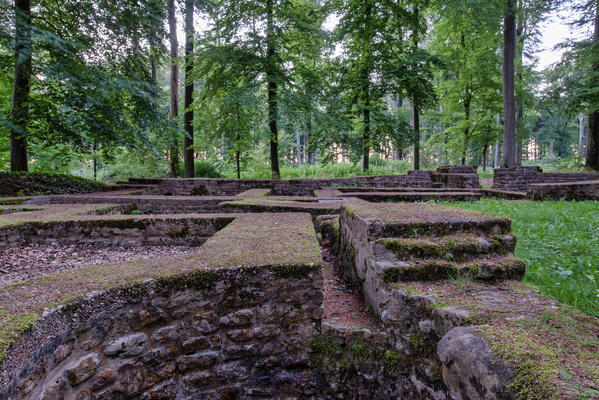
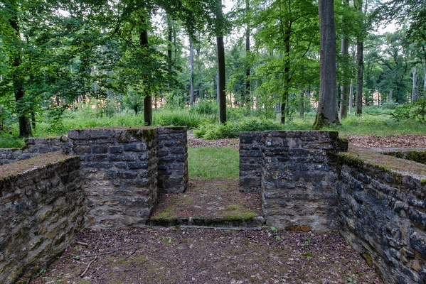
Villa Romaine Goeblange
-
Villa Romaine Goeblange
-
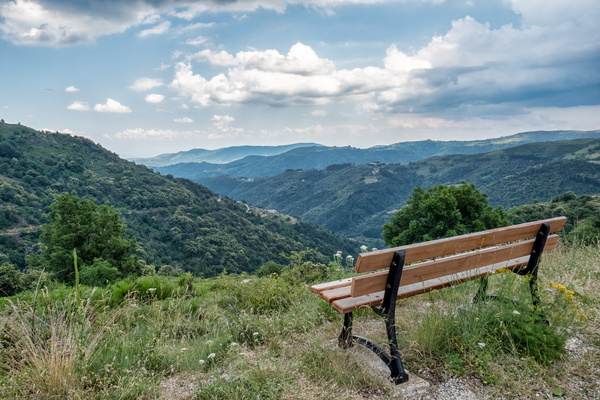
Viewpoint near Saint-Pierreville
-
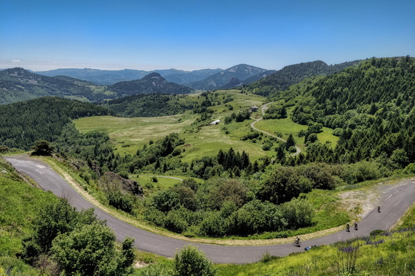
Viewpoint near La Rochette
-
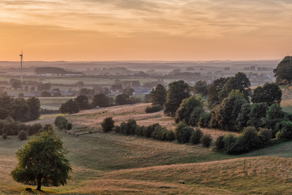
Viewpoint near Hivange
-
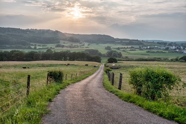
View towards Äischdall near Mersch
-
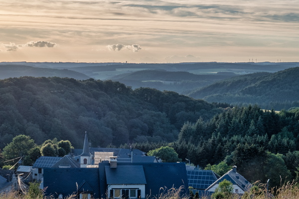
View over the Upper-Sûre valley
-
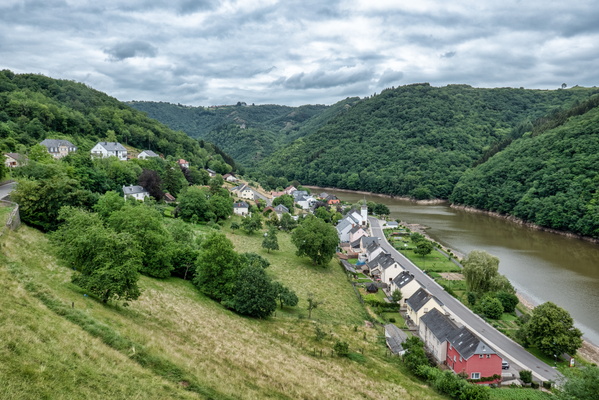
View over Bivels
-
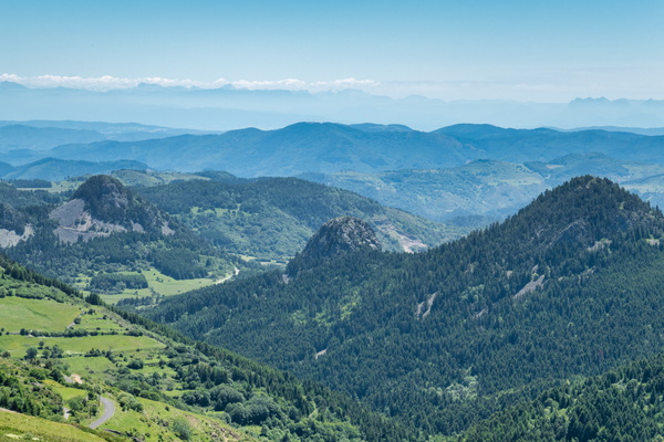
View near Croix de Boutières, Borée
-
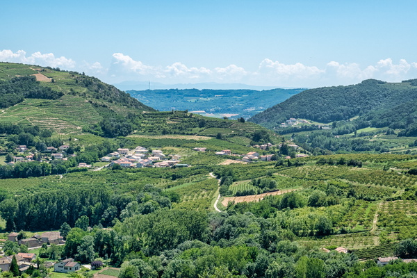
View from Saint-Désirat
-
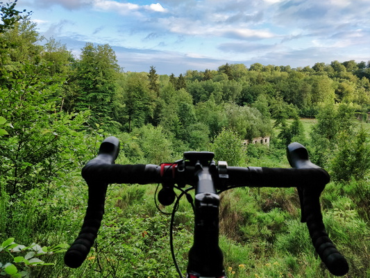
View from PC 12 near Steinfort
-
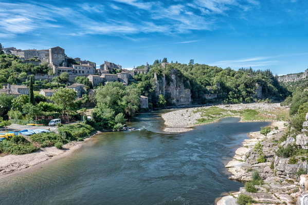
View from Balazuc bridge
-
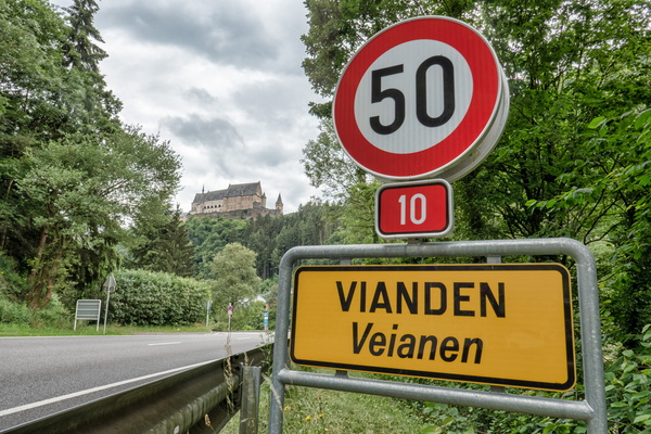
Vianden and its castle
-
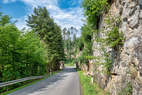
Valley of the Seven Castles
-
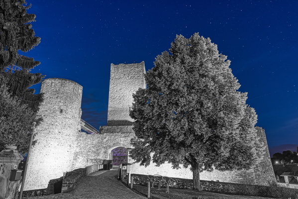
Useldange Castle
-
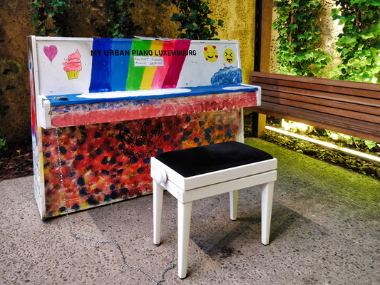
Urban Piano Luxembourg
-
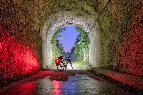
Twilight at the end of the tunnel
-
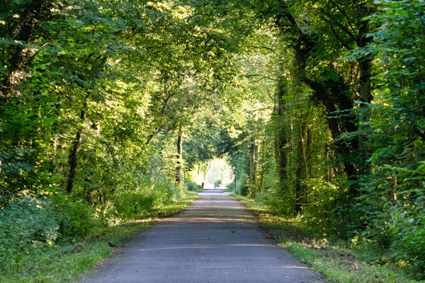
Tunnel of trees near Clemency
-
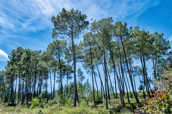
Trees near Lablachère
-
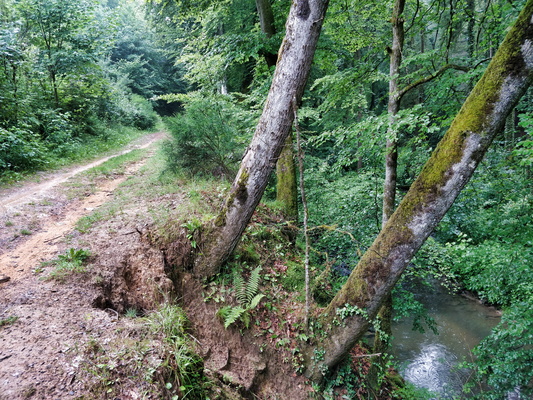
Trees at an angle
-
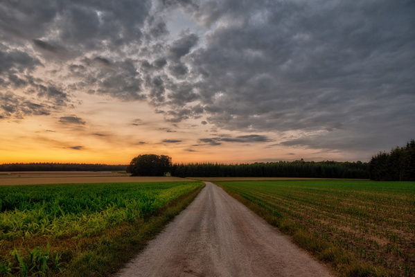
Track North of Bridel
-
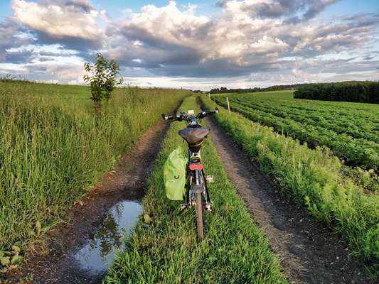
Track from Bilsdorf to return to the road
-
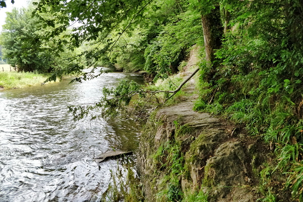
Tough path
-
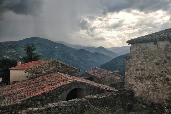
Thunderstorm near Saint-Étienne-de-Serre
-
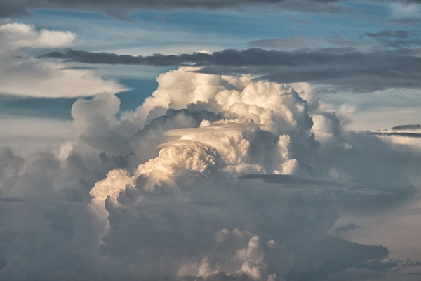
Thunderstorm cloud
-
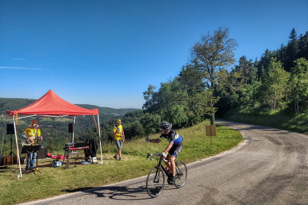
Thumb up to the music band
-
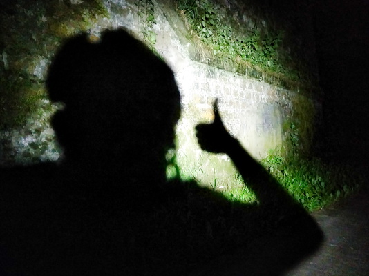
Thumb up
-
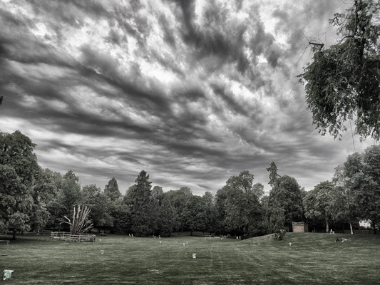
Threatening sky in the city park
-
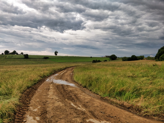
This is a paved road
-
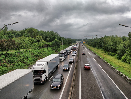
Their freedom
-
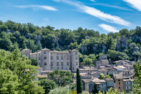
The village of Vogüé
-
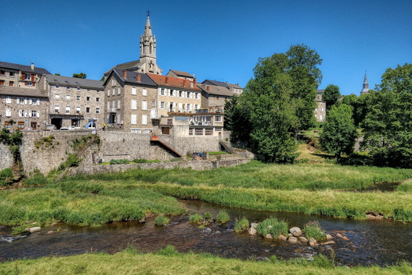
The village of Tence
-
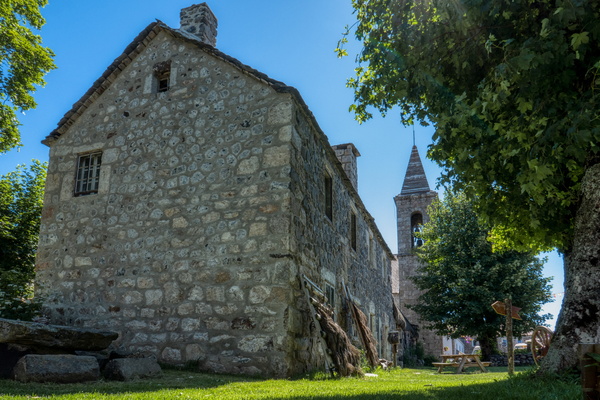
The village of Sainte-Eulalie
-
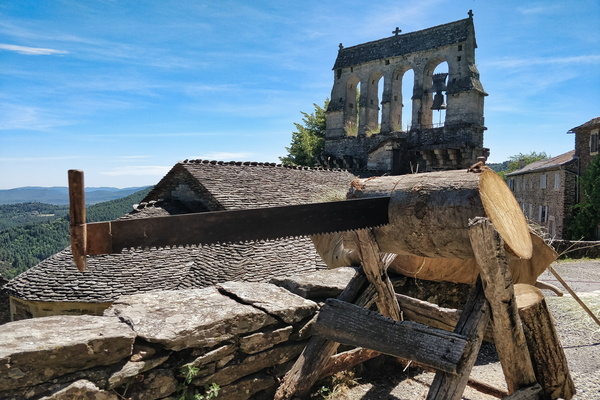
The village of Saint-Pierre-Saint-Jean
-
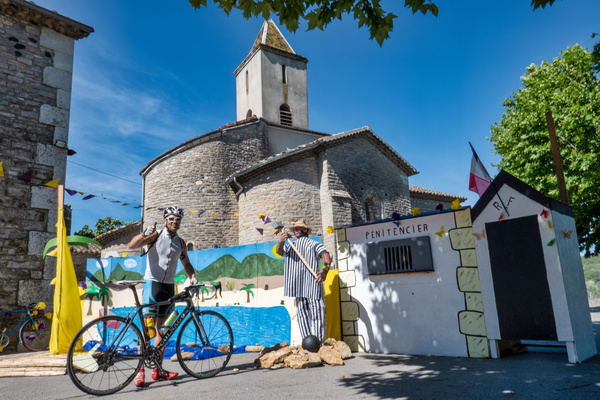
The village of Saint-Maurice-d'Ardèche
-
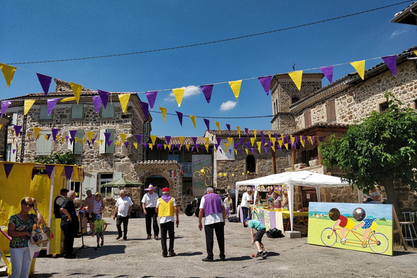
The village of Saint-Clair
-
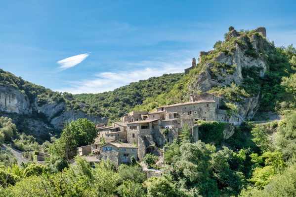
The village of Rochecolombe
-
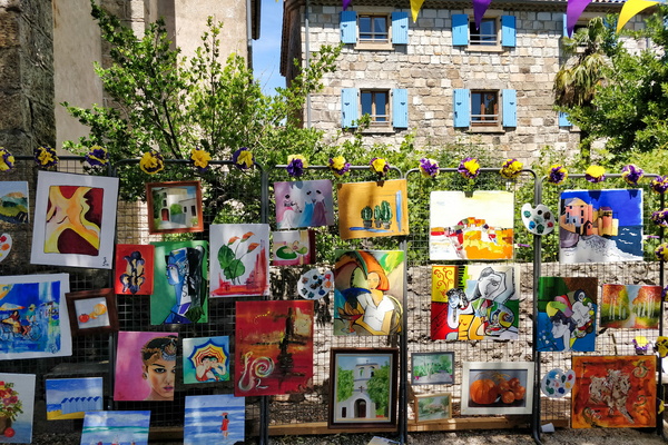
The village of Planzolles
-
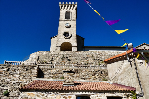
The village of Loubaresse
-
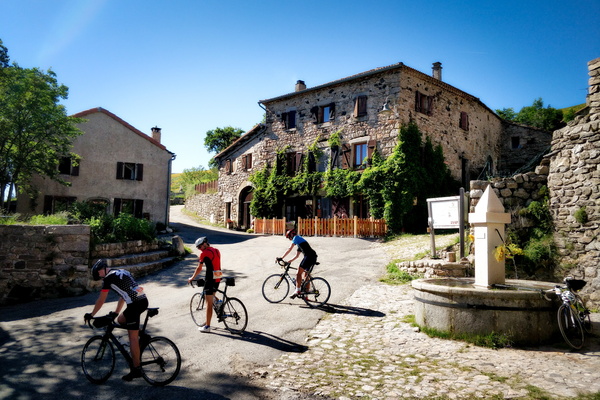
The village of Loubaresse
-
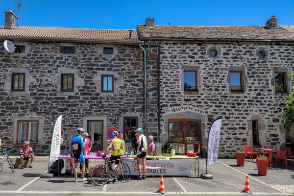
The village of Les Estables
-
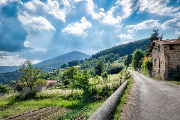
The village of Le Monestier
-
The village of Laurac-en-Vivarais
-
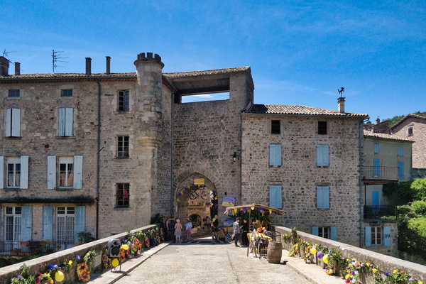
The village of Largentière
-
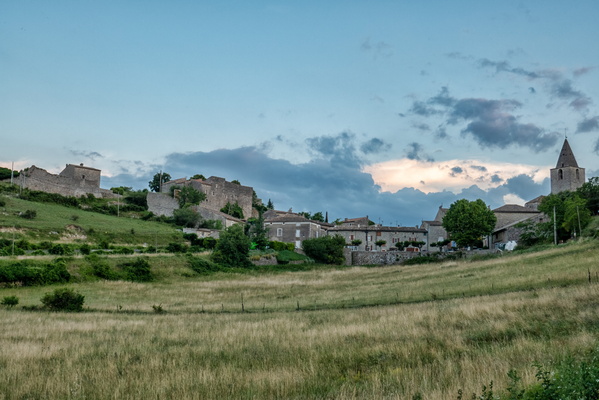
The village of Gras
-
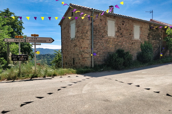
The village of Faugères
-
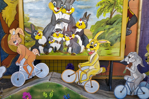
The village of Chassiers
-
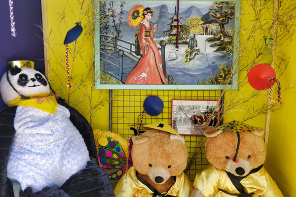
The village of Chassiers
-
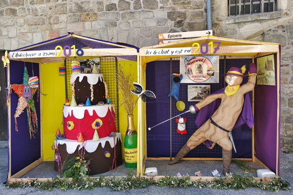
The village of Chassiers
-
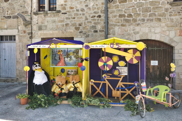
The village of Chassiers
-
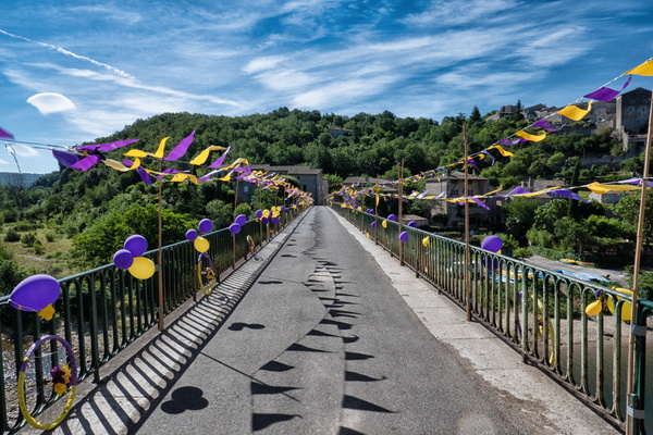
The village of Balazuc
-
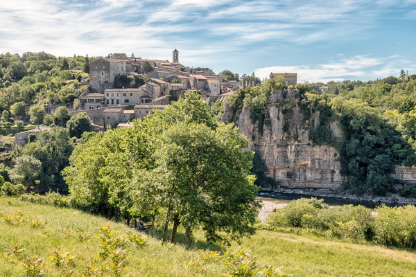
The village of Balazuc
-
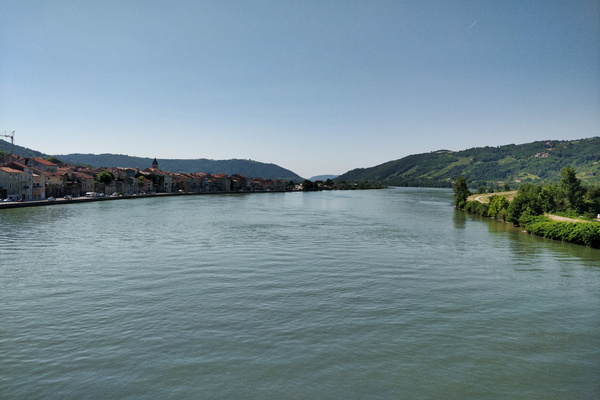
The Rhone river
-
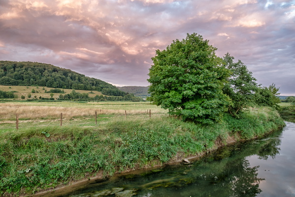
The opposite direction of the sunset
-
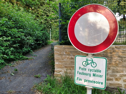
Temporary end
-
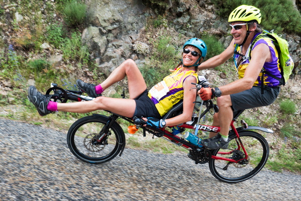
Tandem cyclists in Saint-Barthélemy-le-Meil
-
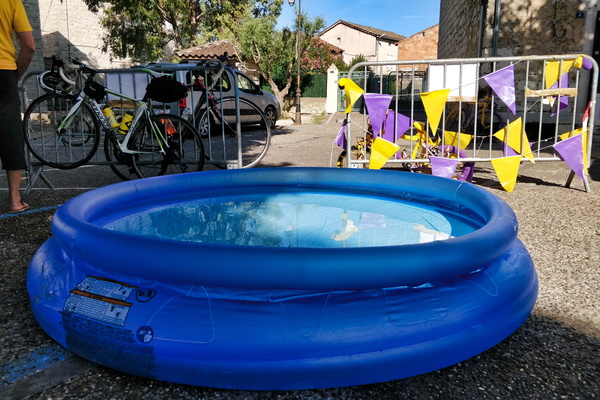
Swimming pool in Ruoms
-
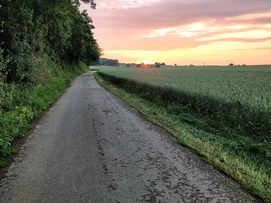
Sunset near Holzem
-
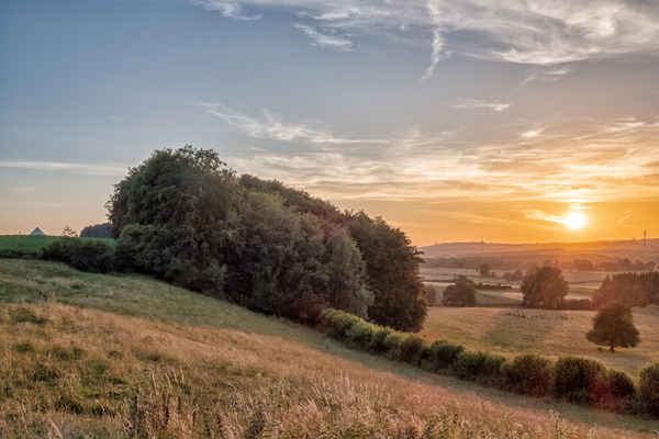
Sunset near Hivange
-
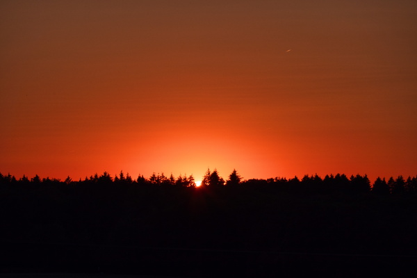
Sunset
-
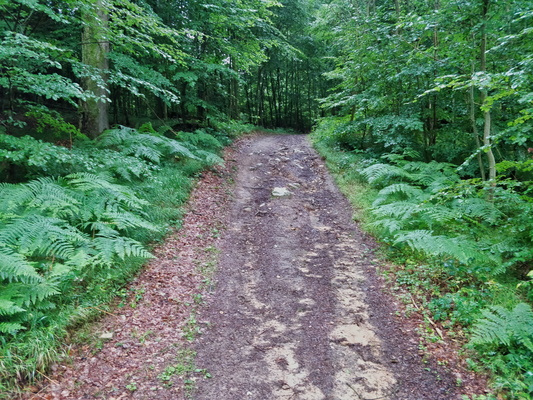
Steep but short climb
-
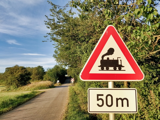
Steam train sign
-
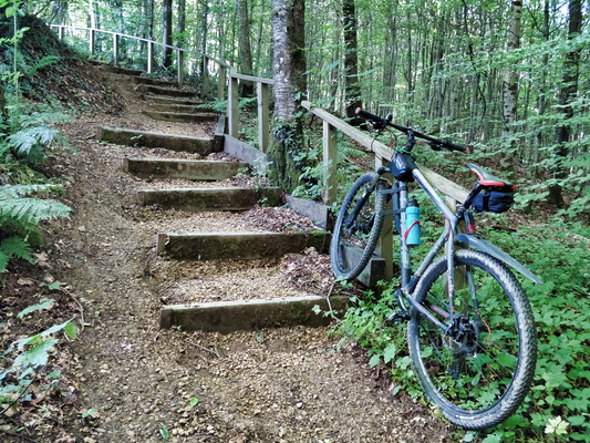
Stairs
-
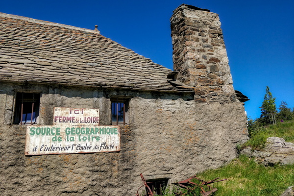
Source géographique de la Loire
-
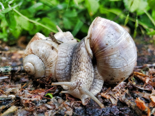
Snails mating
-
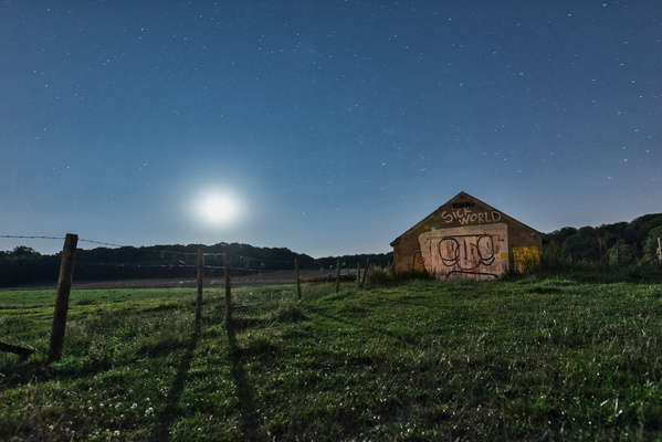
Sick World
-
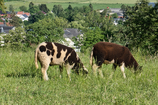
Sheep in Garnich
-
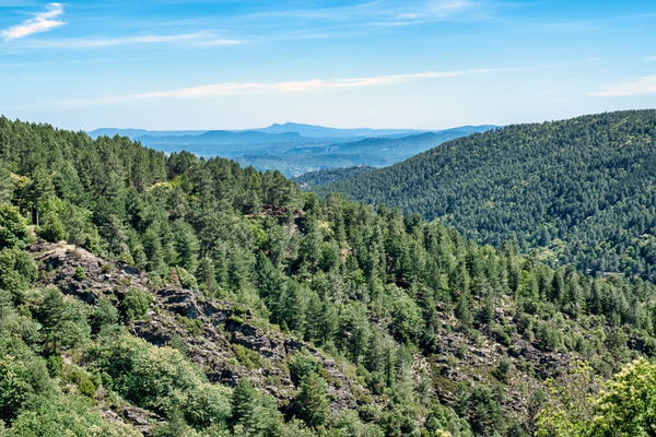
Scenery near Saint-Pierre-Saint-Jean
-
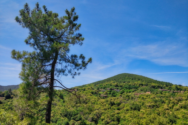
Scenery near Saint-Pierre-Saint-Jean
-
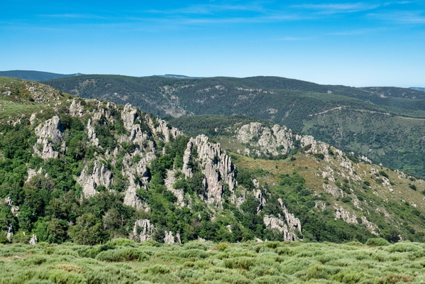
Scenery near Montselgues
-
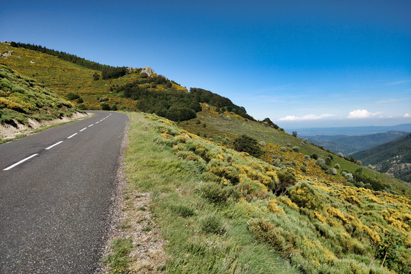
Scenery near Loubaresse
-
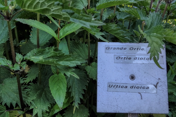
Sainte-Eulalie botanic gardens
-
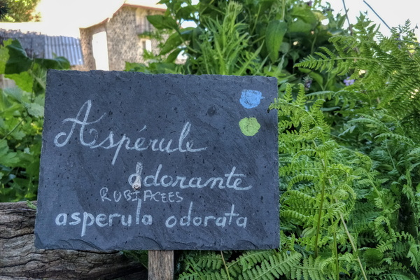
Sainte-Eulalie botanic gardens
-
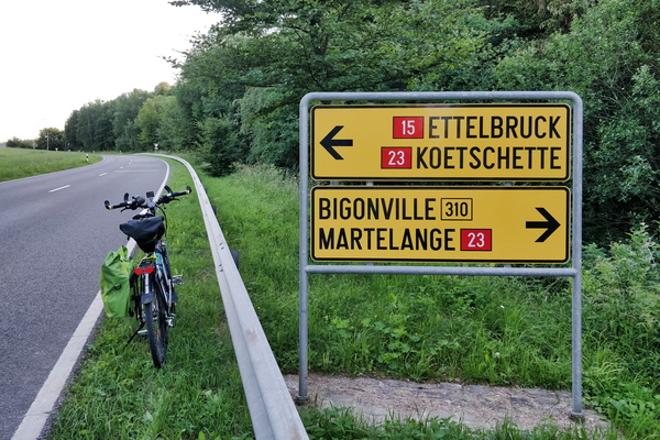
Road directions near Bilsdorf
-
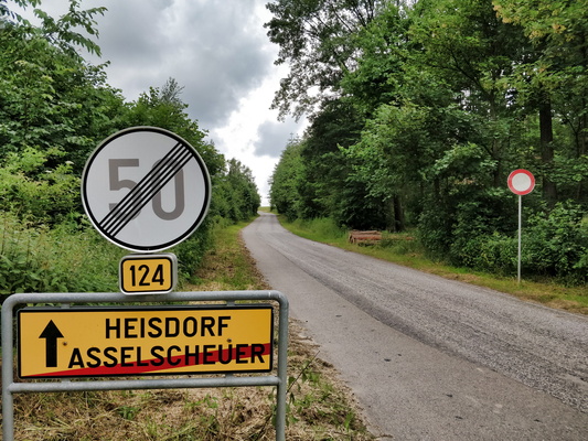
Restricted secondary road out of Asselschuer
-
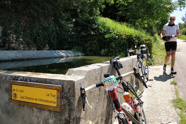
Refreshment at a fountain in Albon
-
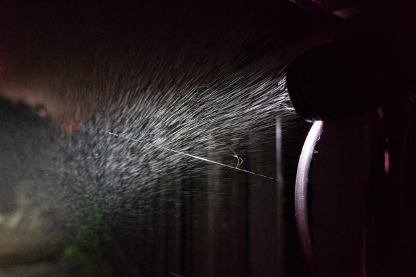
Rainy night
-
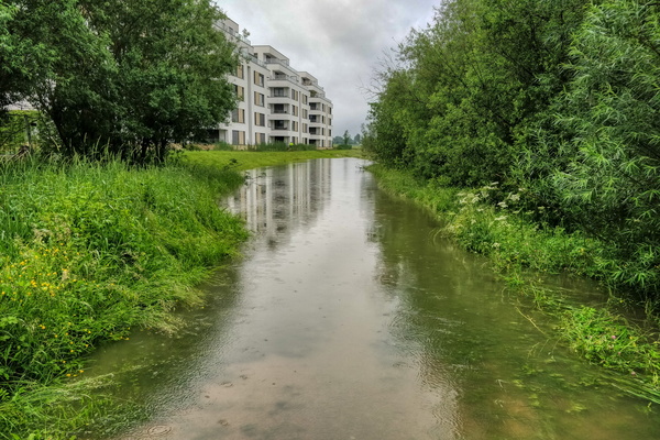
Rainy morning to work after a huge thunderstorm
-
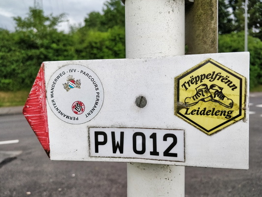
PW 012
-
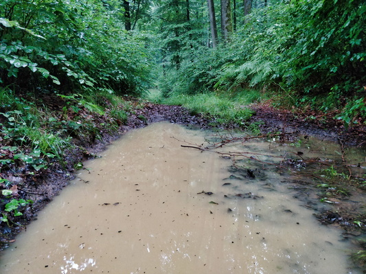
Puddle
-
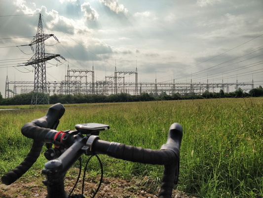
Power substation in Bertrange
-
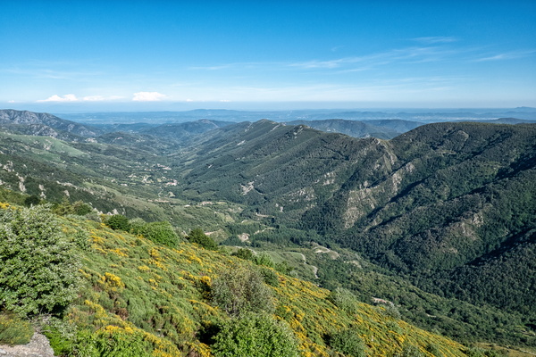
Point de vue du Col de Meyrand
-
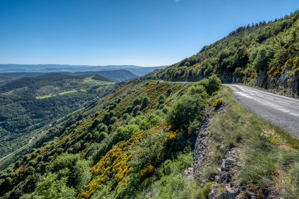
Point de vue du Col de Meyrand
-
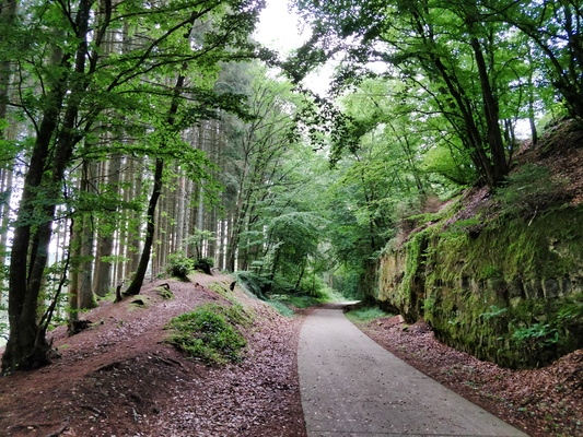
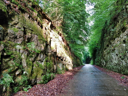
Piste cyclable de l'Attert between Steinfort and Eischen
-
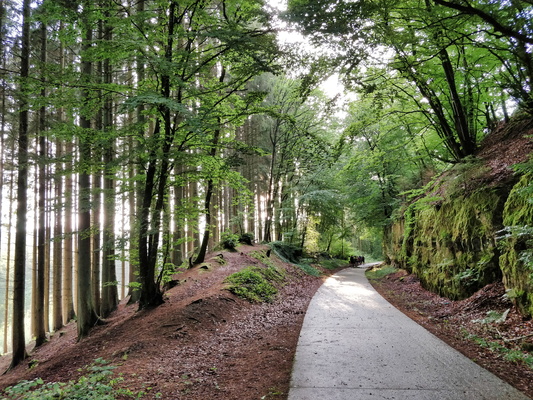
Piste cyclable de l'Attert between Steinfort and Eischen
-
Piste cyclable de l'Attert between Steinfort and Eischen
-
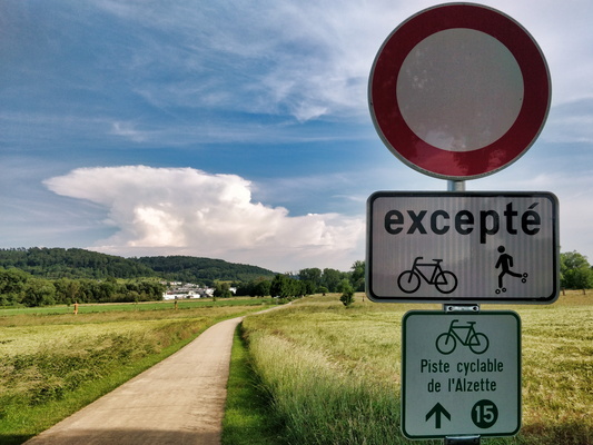
Piste cyclable de l'Alzette
-
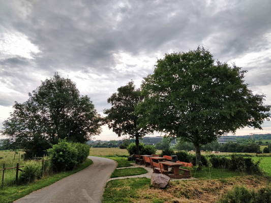
Picnic site in Cessange
-
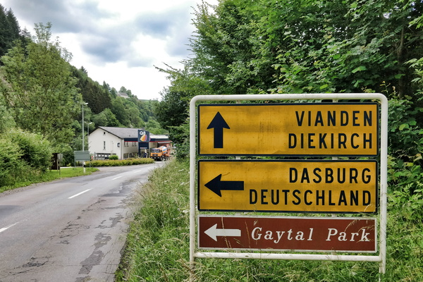
Petrol station next to the German border
-
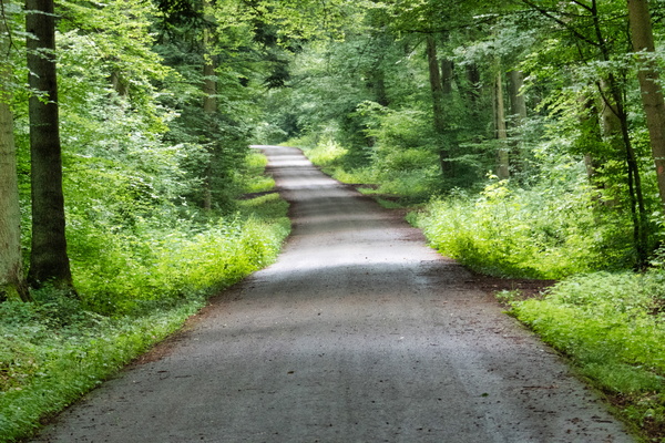
PC 9 in the forest
-
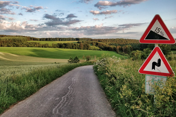
PC 18 near Flatzbour
-
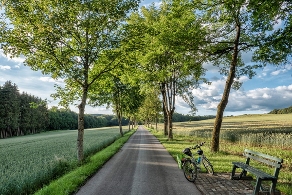
PC 17 between Redange and Rambrouch
-
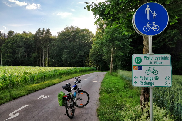
PC 17 between Rambrouch and Redange
-
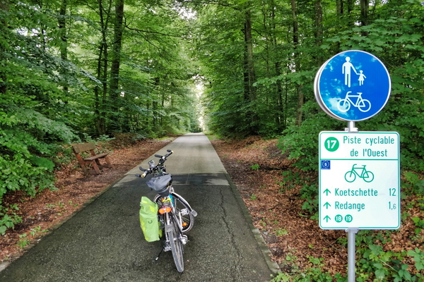
PC 17 between Niederpallen and Redange
-
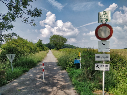
PC 14 between Olm and Olm; no kidding.
-
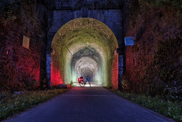
PC 12 Tunnel at night
-
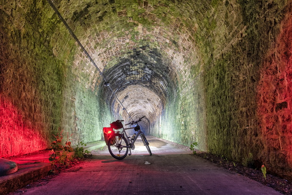
PC 12 Tunnel at night
-
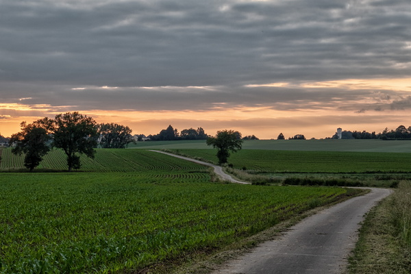
PC 12 near Kahler before sunset
-
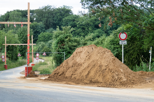
PC 10 closure
-
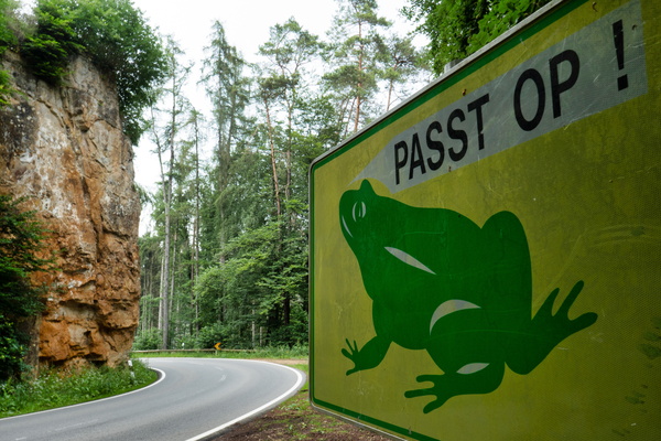
Passt op!
-
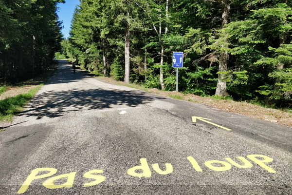
Pas du loup
-
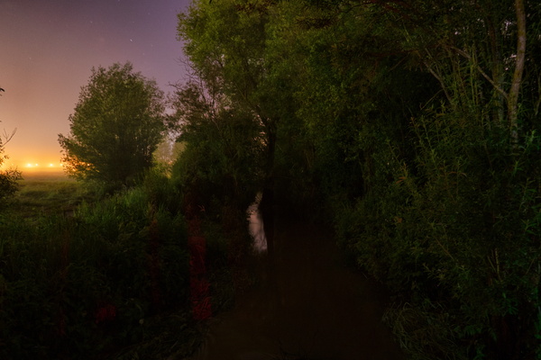
Parc Lentz on a rainy night
-
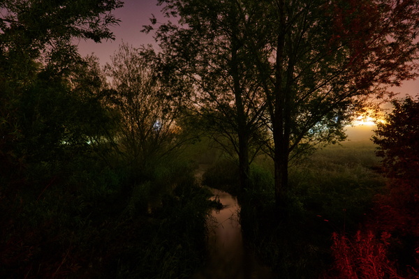
Parc Lentz on a rainy night
-
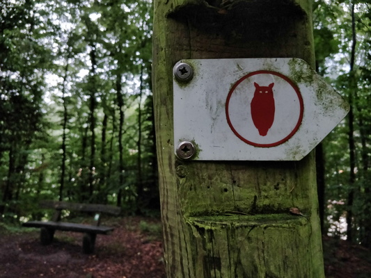
Owl hiking trail
-
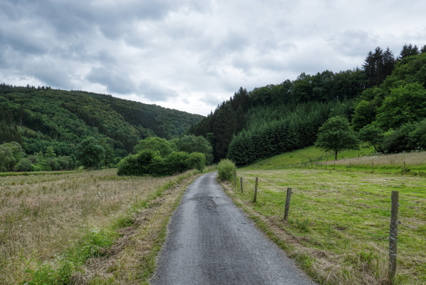
Ourtal near Trois-Frontières
-
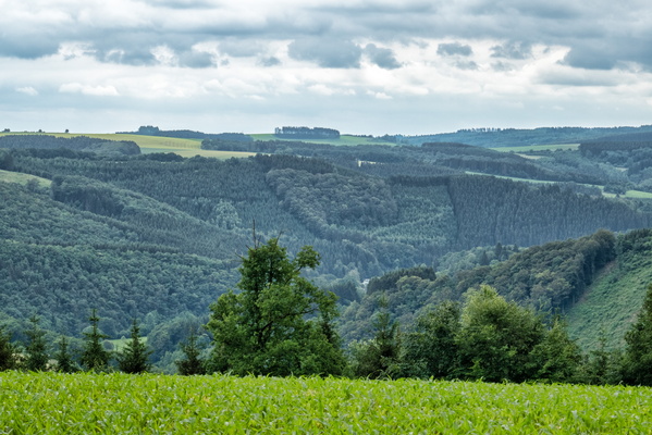
Ourtal from above
-
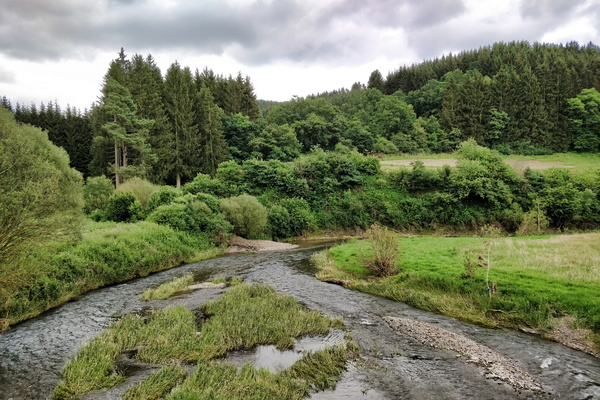
Our river in Ouren
-
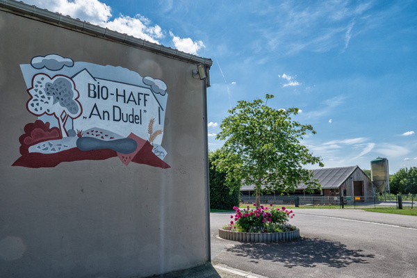
Organic farm in Schouweiler
-
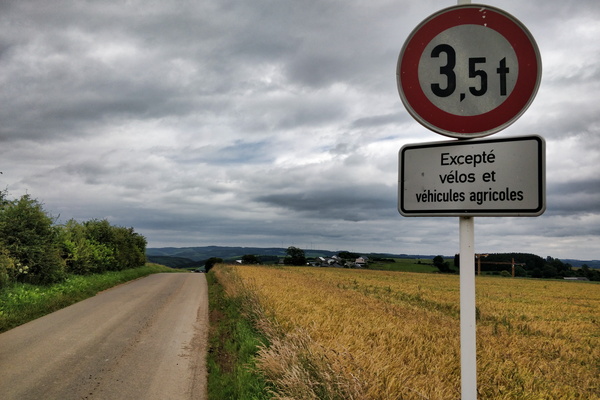
One of the privileges of riding a bike: challenge accepted
-
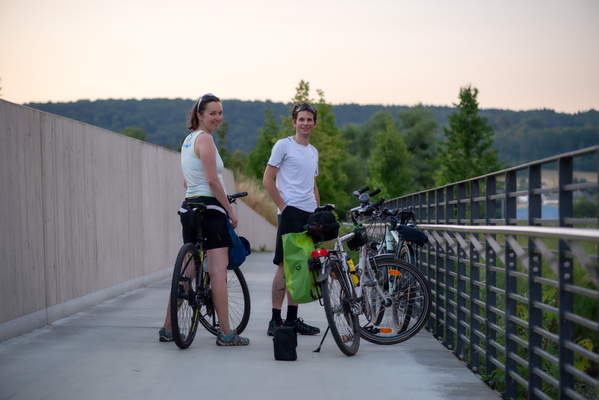
On the way to see the moonrise
-
Oak leaves
-
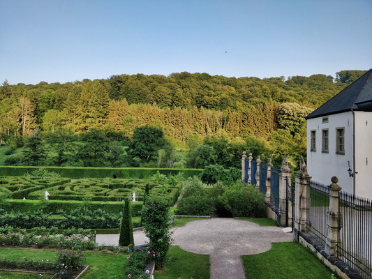
Nouveau château d'Ansembourg and its garden
-
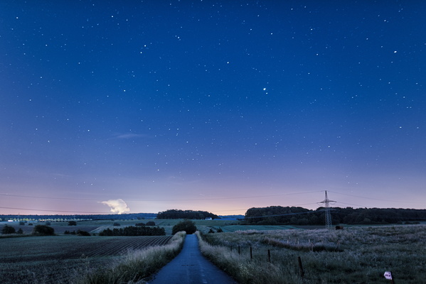
Night sky in Bertrange
-
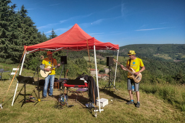
Music band near Lalouvesc
-
Music band in the village of Saint-Sernin

-
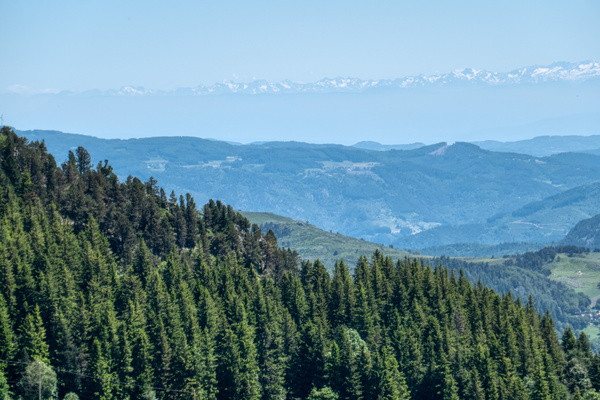
Mountain view near Borée
-
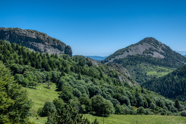
Mountain view near Borée
-
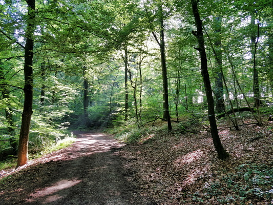
Morning ride to work in Bertrange's forest
-
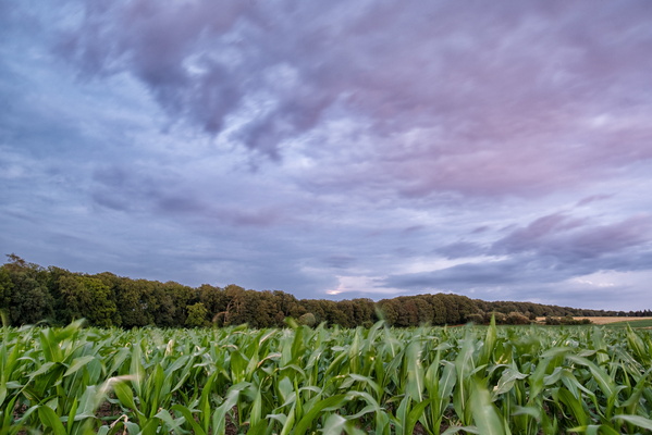
Moonrise occured behind the clouds
-
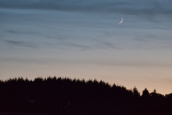
Moon
-
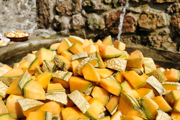
Melon cubes
-
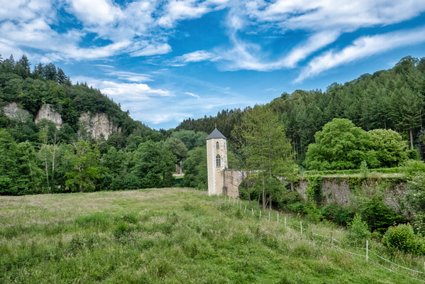
Marienthal
-
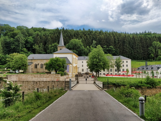
Marienthal
-
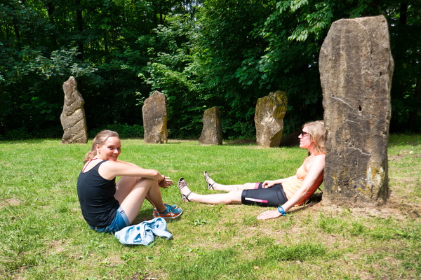
Maison Néolithique
-
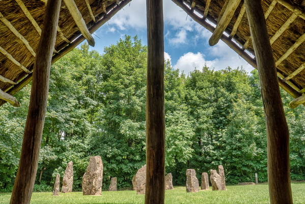
Maison Néolithique
-
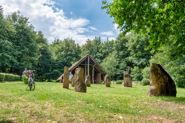
Maison Néolithique
-
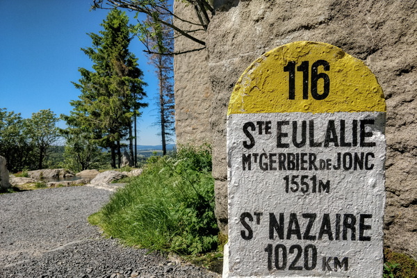
Loire river stone
-
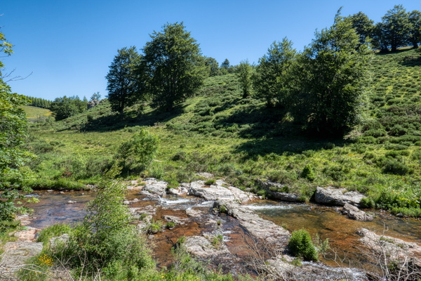
Loire river near Sainte-Eulalie
-
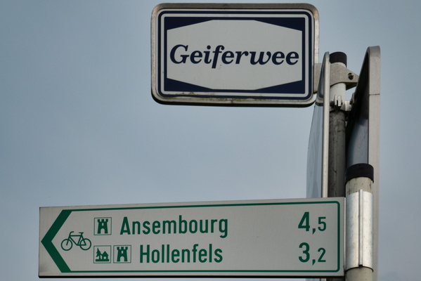
Local cycling route between Ansembourg, Hollenfels, Tuntange an
-
Local cycleway between Preizerdaul and Eschette
-
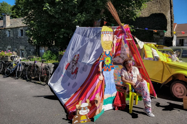
Light my fire, Sainte-Eulalie
-
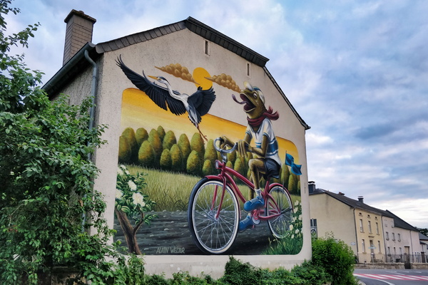
Let’s Make Koler Kooler
-
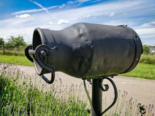
Letter box
-
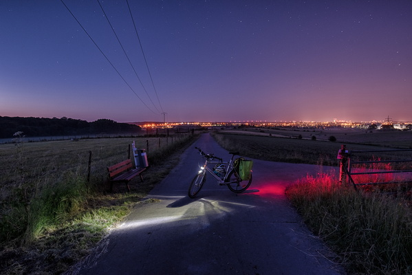
Leaving the city behind
-
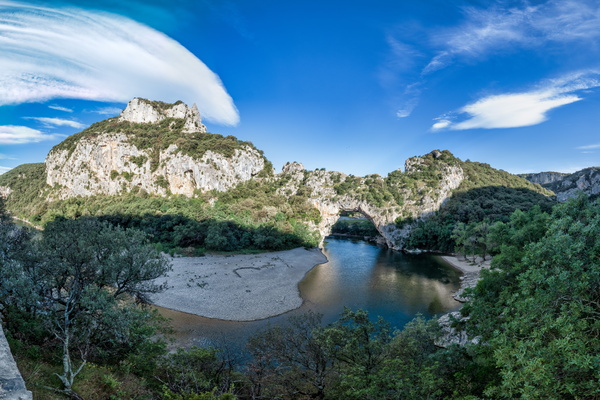
Le Pont d'Arc
-
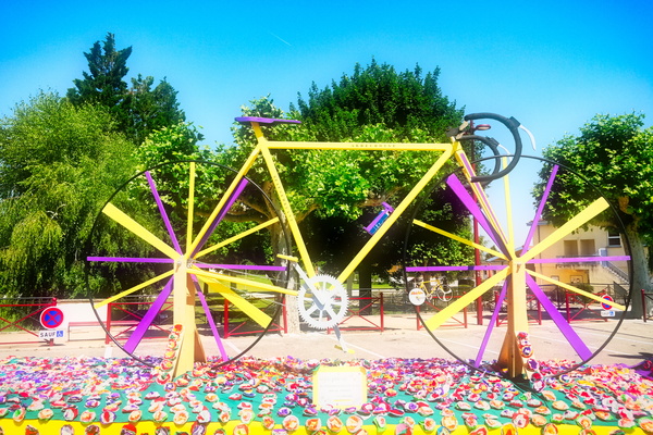
Le plus grand vélo de l'Ardéchoise entièrement en bois
-
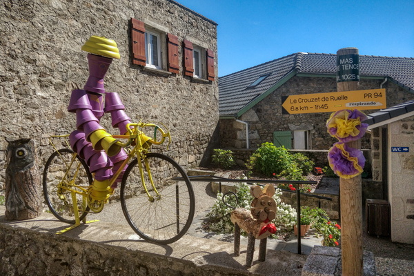
Le Mas-de-Tence
-
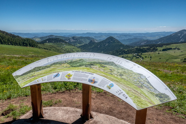
Le cirque des Boutières
-
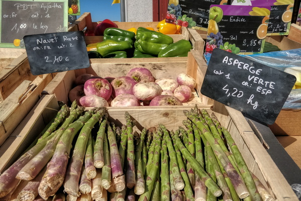
Le Béage's market
-
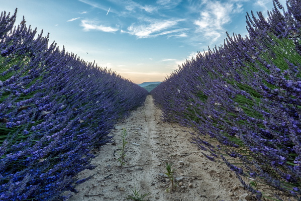
Lavender field near Valvignères
-
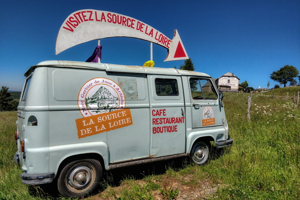
La source de la Loire
-
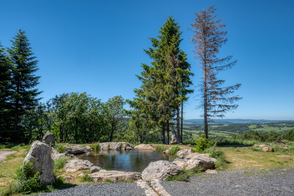
La Loire source
-
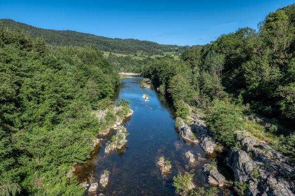
La Loire river near Le Lac-d'Issarlès
-
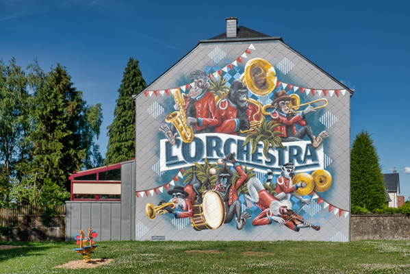
L'Orchestra by Make Koler Kooler
-
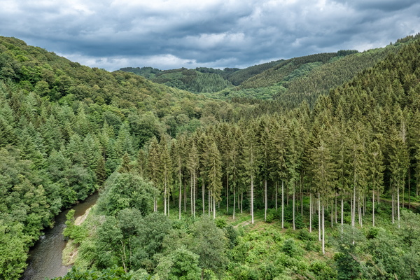
Kasselslay Viewpoint
-
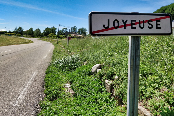
Joyeuse exit
-
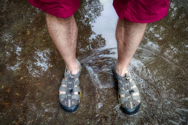
It's easier to play in the water when already wet
-
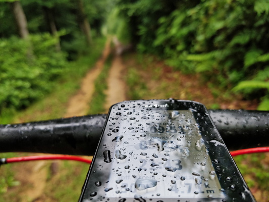
It's a rainy day
-
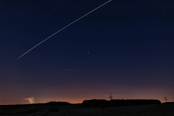
ISS passover
-
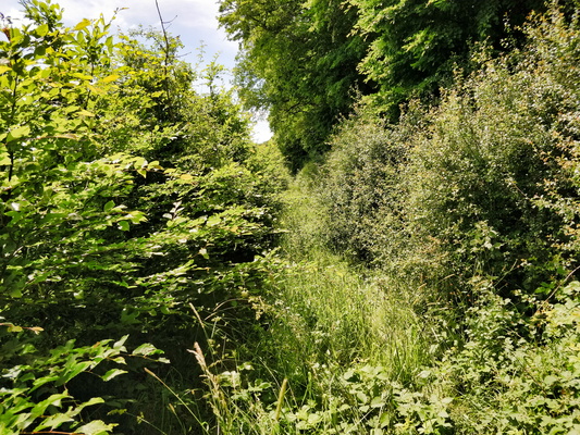
Invisible track
-
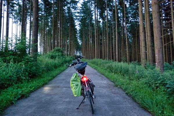
In the woods between Martelange and Perlé
-
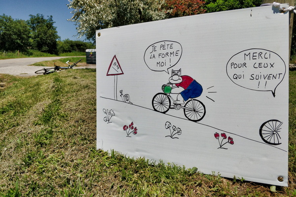
Humour...
-
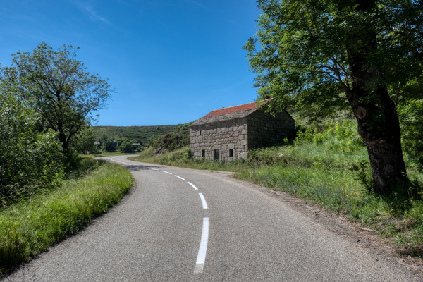
House near Montselgues
-
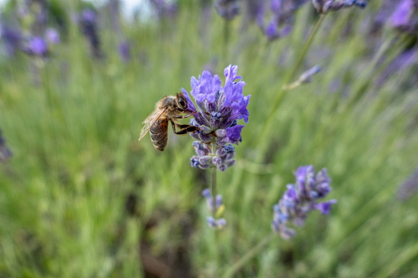
Honey bee on lavender
-
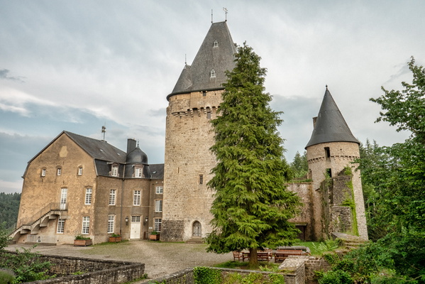
Holenfels castle
-
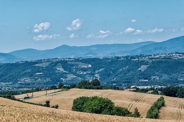
Hills and mountains, Ardéchoise 2018 in Albon
-
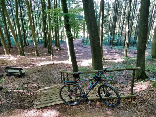
Hiking trail near Clemency
-
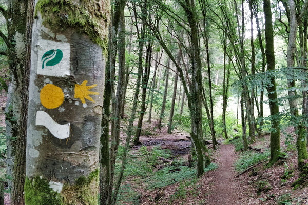
Hiking trail in Ourtal near Moulin de Kalborn
-
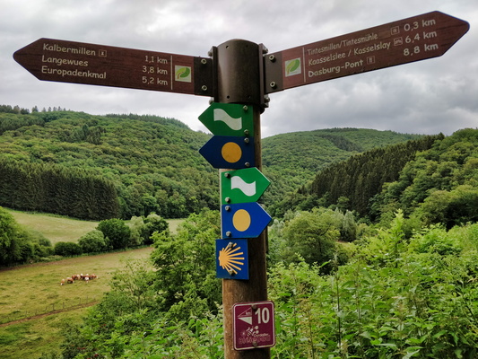
Hiking directions near Tintesmillen
-
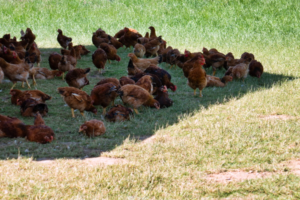
Henses in the shade
-
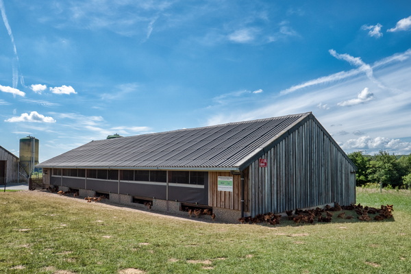
Hens house
-
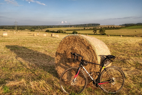
Haystack near Bertrange at golden hour
-
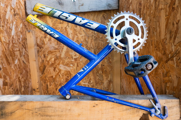
Half-a-bike in Saint-Maurice-d'Ardèche
-
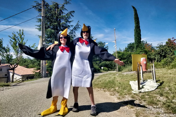
Greetings in Rochecolombe
-
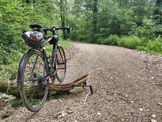
Graveling to work
-
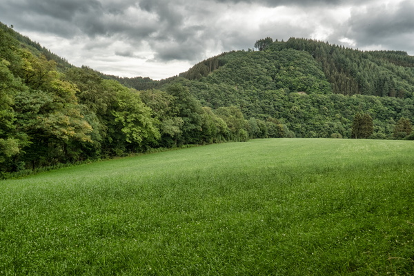
Grasslands in Ourtal near Parc Hosingen
-
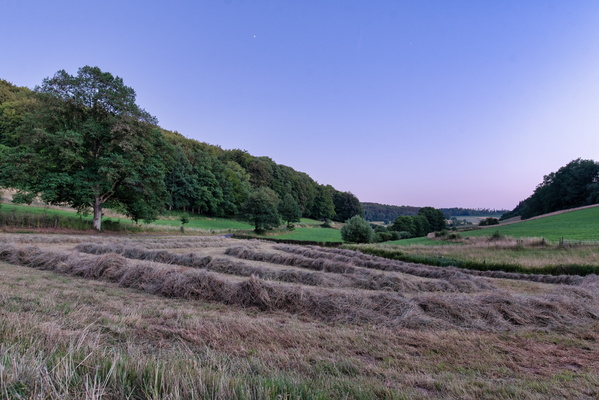
Grass harvesting
-
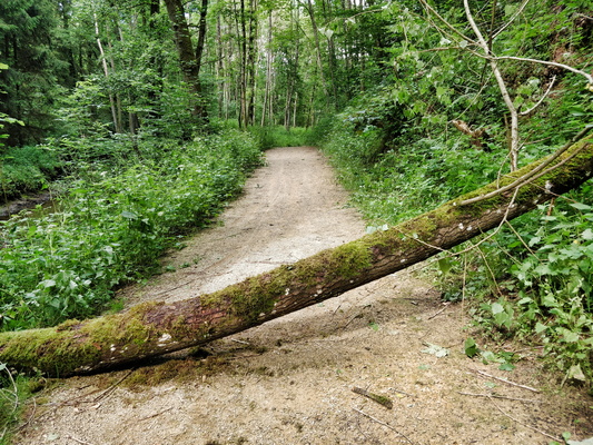
Get out of my way!
-
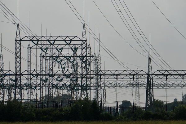
Geometry of (power) lines
-
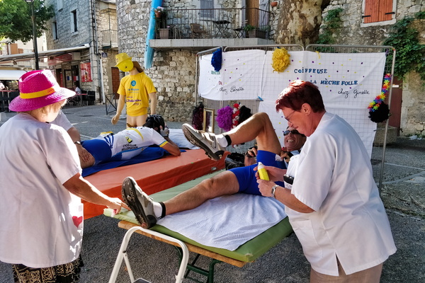
Free massage in Ruoms
-
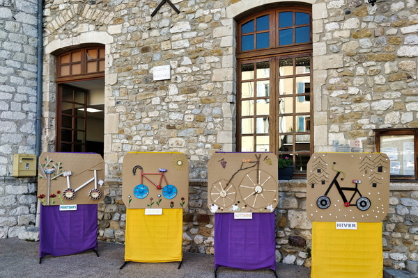
Four-seasons cycling in Vallon-Pont-d'Arc
-
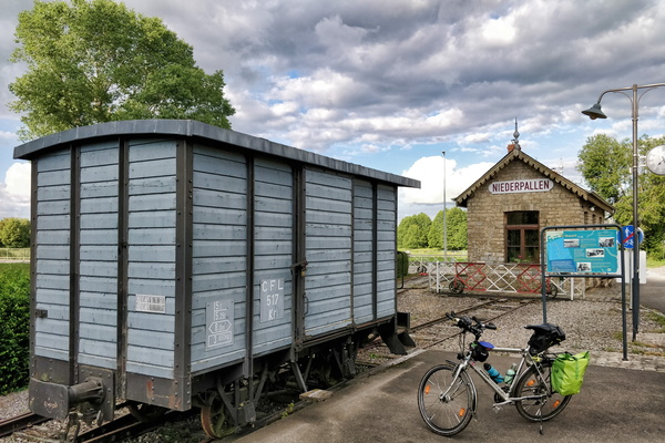
Former train station in Niederpallen
-
Forest track between Strassen and Bridel
-
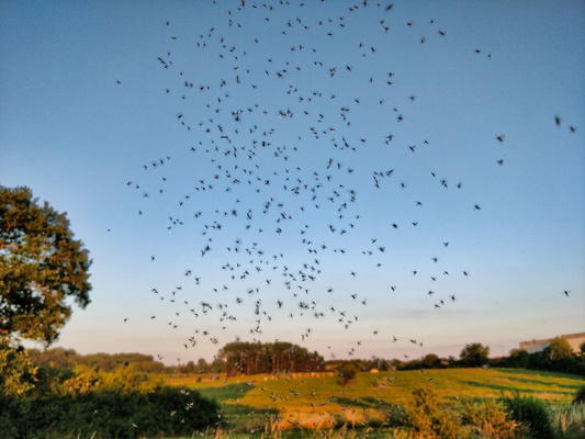
Flying ants
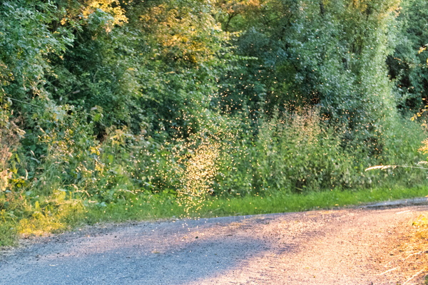
-
Flying ants
-
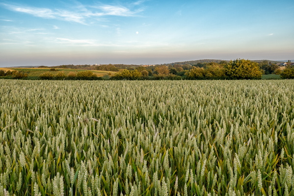
Field near Hivange
-
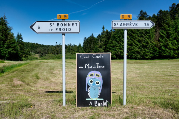
Farewell, Mas de Tence
-
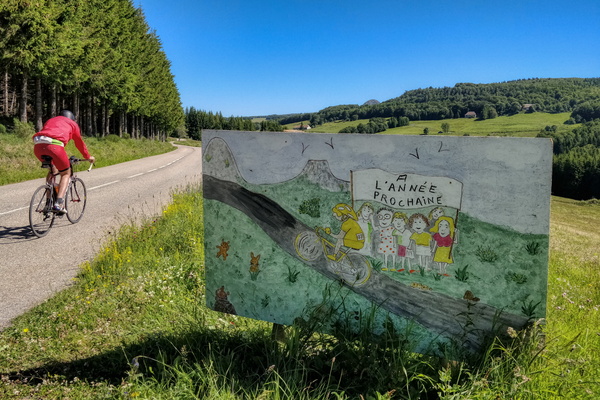
Exiting Sainte-Eulalie
-
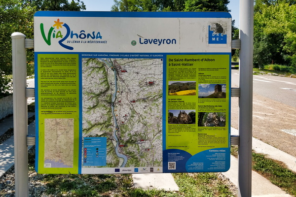
EuroVelo 17 information board
-
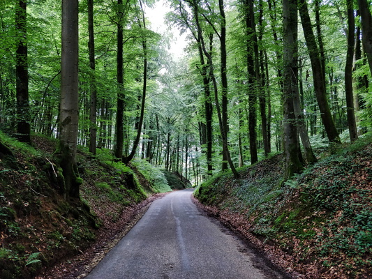
Enchanted forest between Septfontaines and Schweich
-
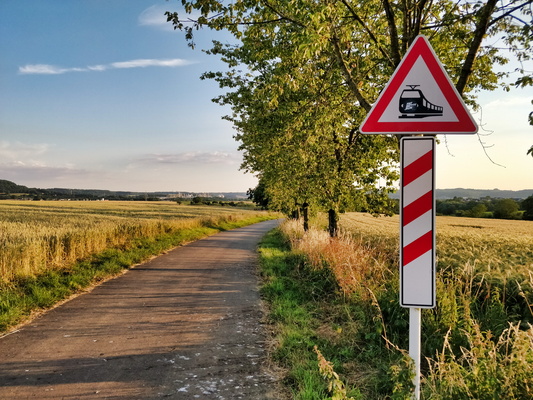
Electric train sign
-
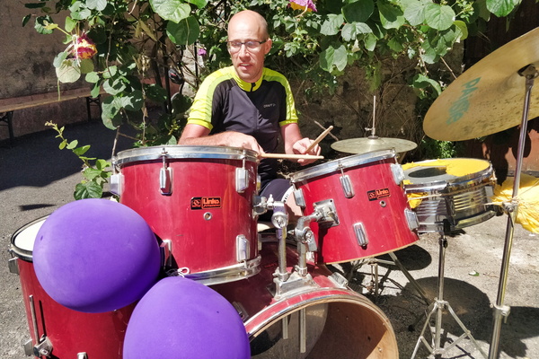
Drummer (and cyclist) in Saint-Sernin
-
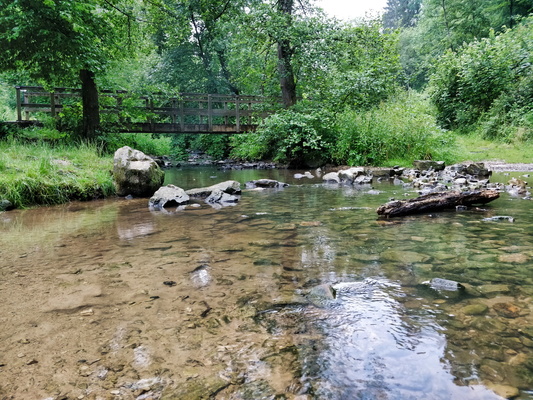
Drëps picnic place
-
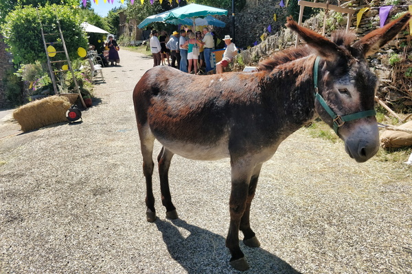
Donkey in Saint-Pierre-Saint-Jean
-
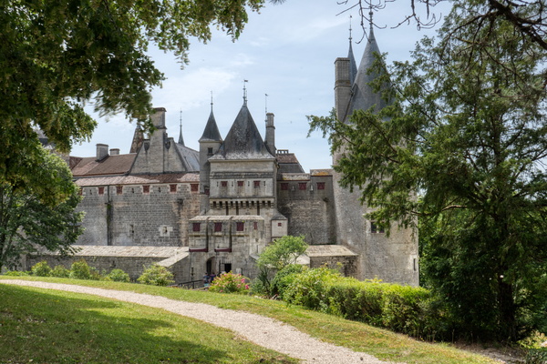
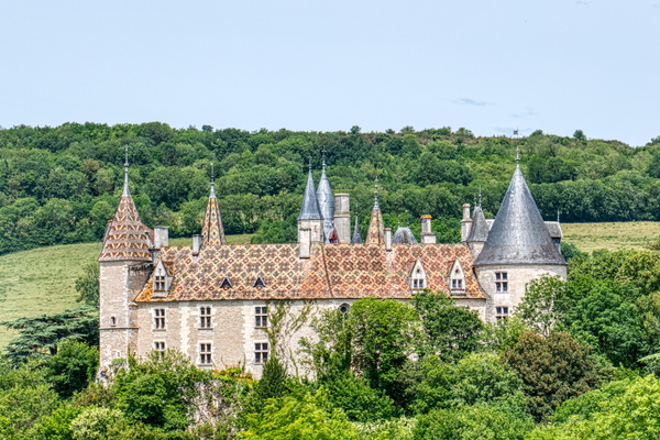
Domaine du château de La Rochepot
-
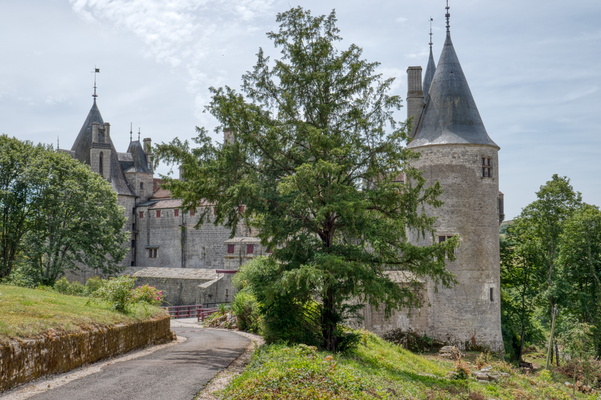
Domaine du château de La Rochepot
-
Domaine du château de La Rochepot
-
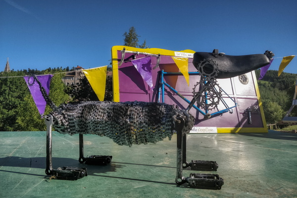
Dog statue made with bicycle parts in Lalouvesc
-
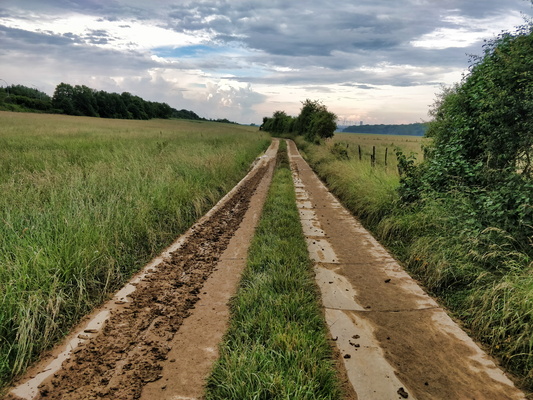
Dirty track
-
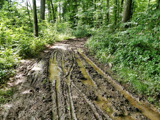
Dirty track
-
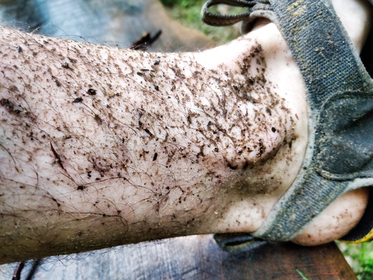
Dirty feet
-
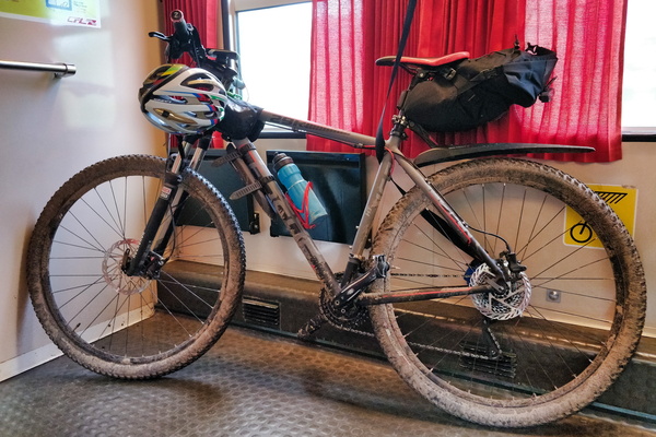
Dirty bike after the ride along Ourtal from North to South
-
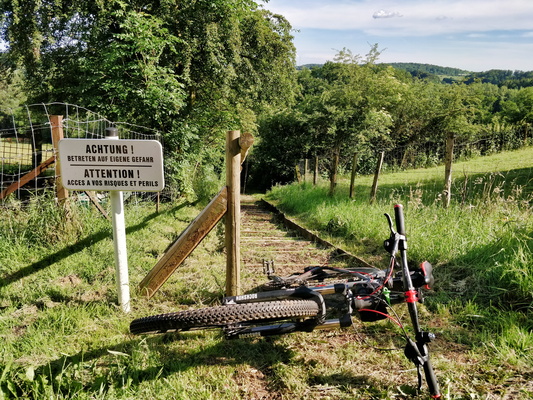
Danger
-
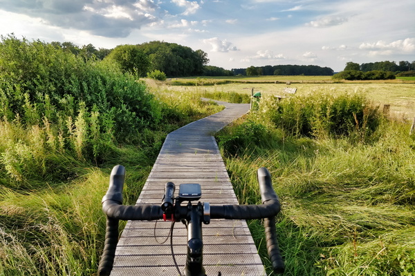
Cycling on wood near Windhof
-
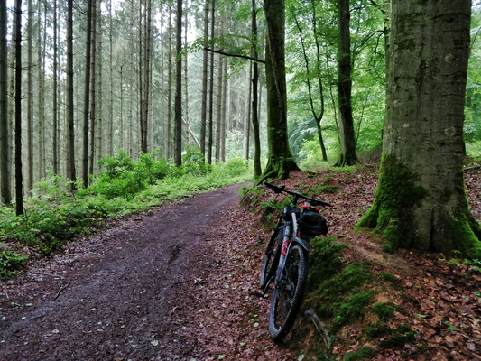
Cycling in the forest
-
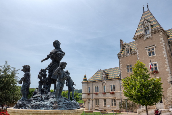
Cycling in Burgundy
-
Cycling in Burgundy
-
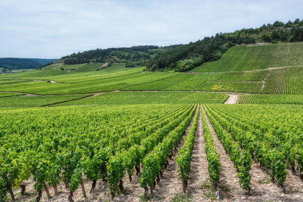
Cycling in Burgundy
-
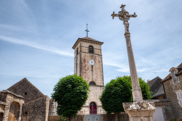
Cycling in Burgundy
-
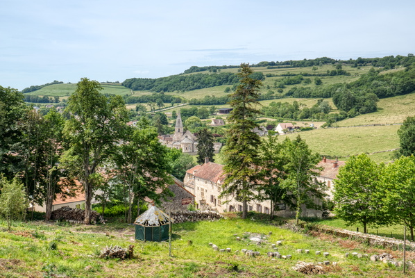
Cycling in Burgundy
-
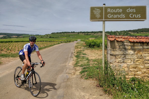
Cycling in Burgundy
-
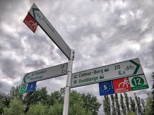
Cycling directions near Beckerich
-
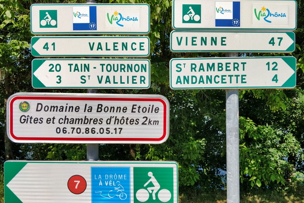
Cycling directions in Laveyron
-
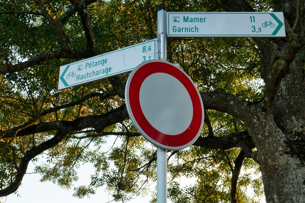
Cycling directions in Hivange
-
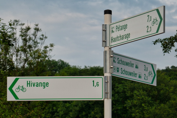
Cycling directions
-
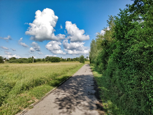
Cycleway between Betrange and Merl
-
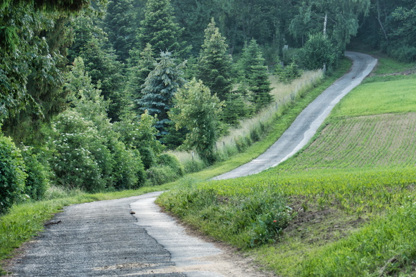
Cycles of effort and comfort
-
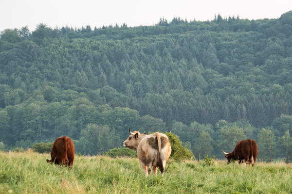
Cows
-
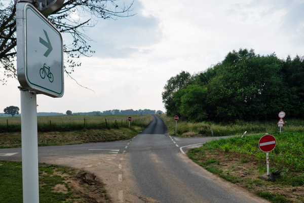
Contradiction: go or no go?
-
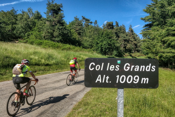
Col les Grands
-
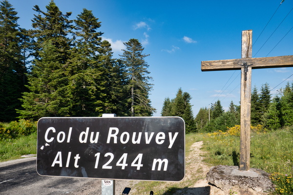
Col du Rouvey
-
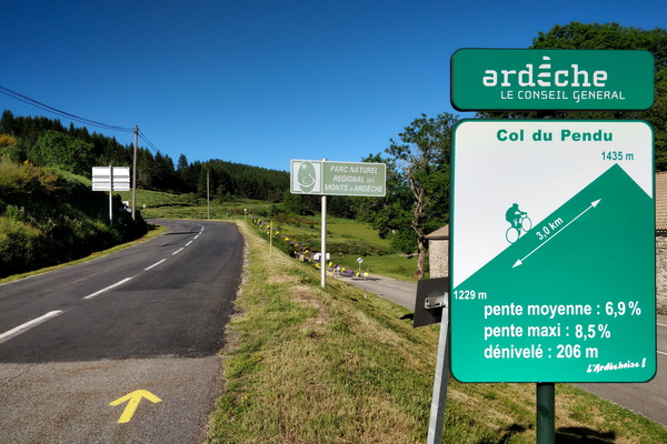
Col du Pendu climb
-
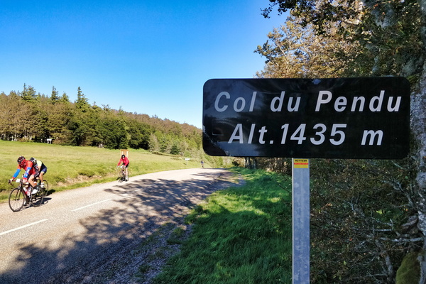
Col du Pendu
-
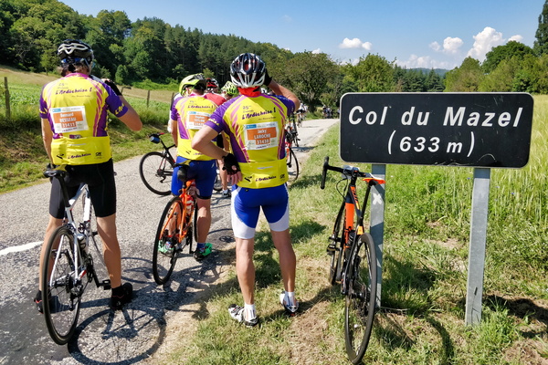
Col du Mazel
-
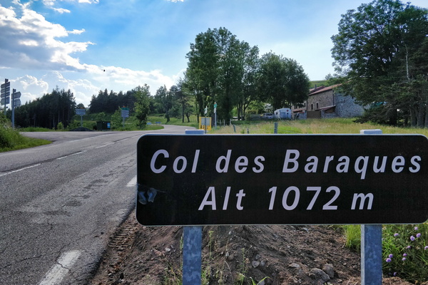
Col des Baraques
-
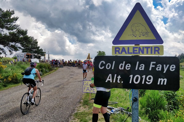
Col de la Faye
-
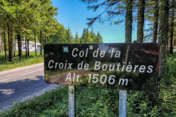
Col de la Croix de Boutières
-
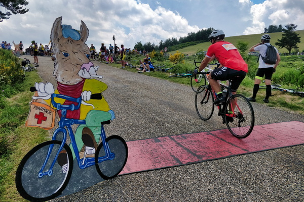
Checkpoint near Saint-Genest-Lachamp
-
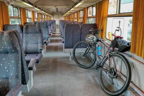
Catching the train to ride in the North
-
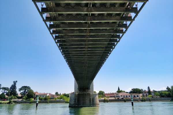
Bridge on the Rhone river in Andance
-
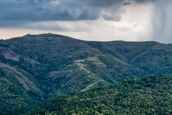
Bon courage was about the thunderstorm :-)
-
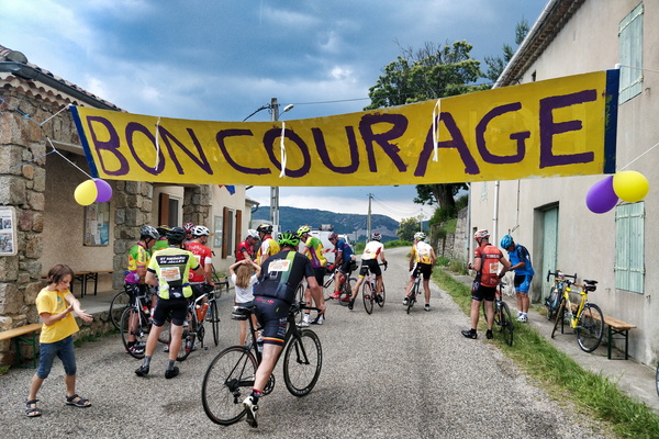
Bon courage near Saint-Étienne-de-Serre
-
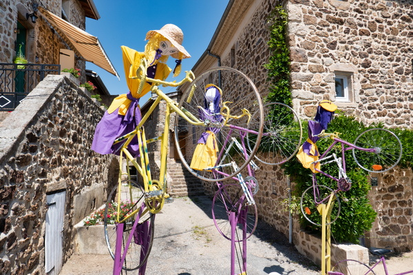
Bikes in Saint-Clair
-
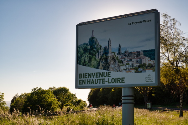
Bienvenue en Haute-Loire
-
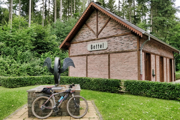
Bettel former train station
-
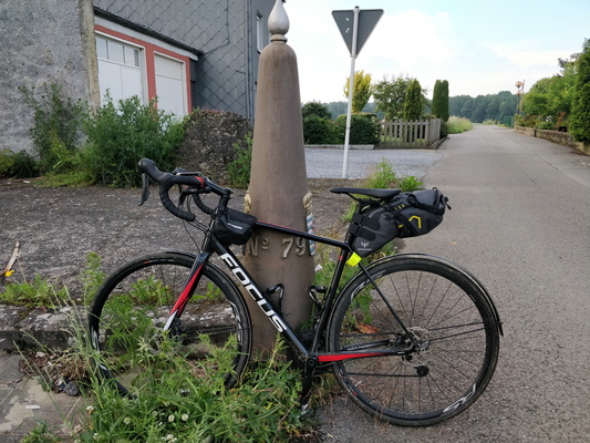
Belgium/Luxembourg border
-
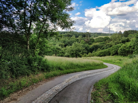
Behind Belle Étoile
-
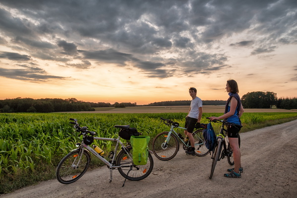
Before full Moon rise catching attempt
-
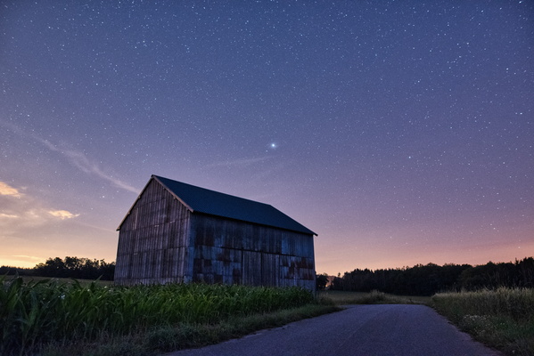
Barn on PC 12 between Bissen and Boevange/Attert
-
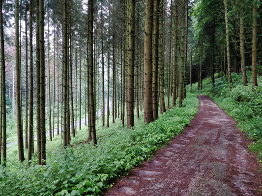
Bambësch near Rollingergrund
-
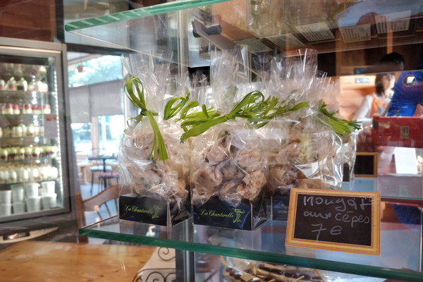
Bakery
-
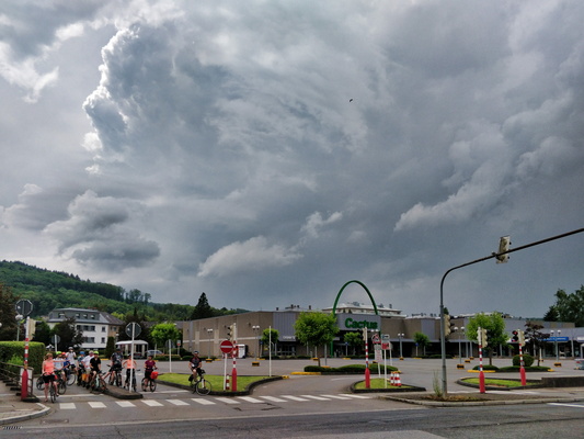
B:loft picnic ride to Maison Néolithique
-
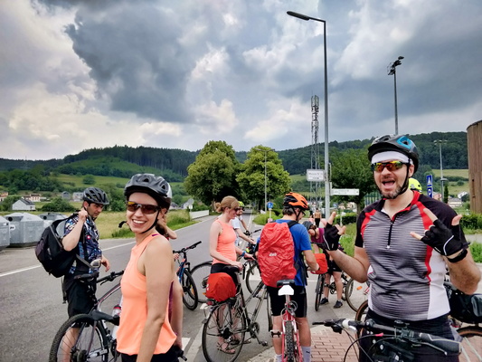
B:loft picnic ride to Maison Néolithique
-
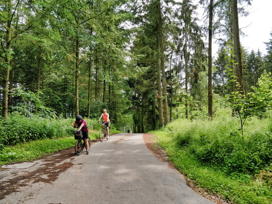
B:loft picnic ride to Maison Néolithique
-
B:loft picnic ride to Maison Néolithique
-
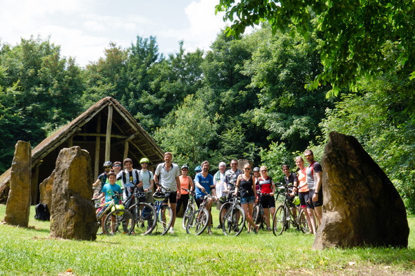
B:loft picnic ride to Maison Néolithique
-
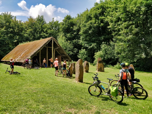
B:loft picnic ride to Maison Néolithique
-
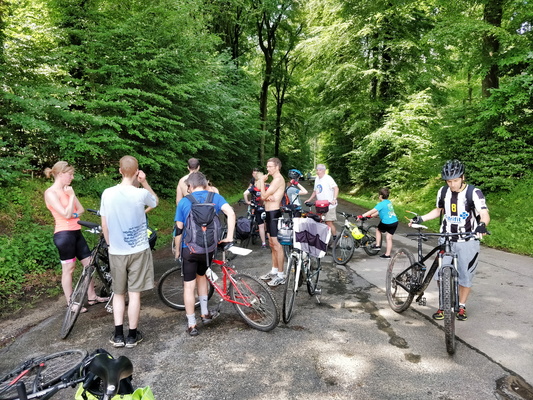
B:loft picnic ride to Maison Néolithique
-
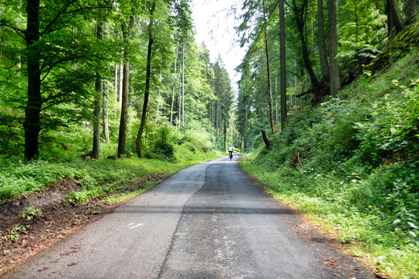
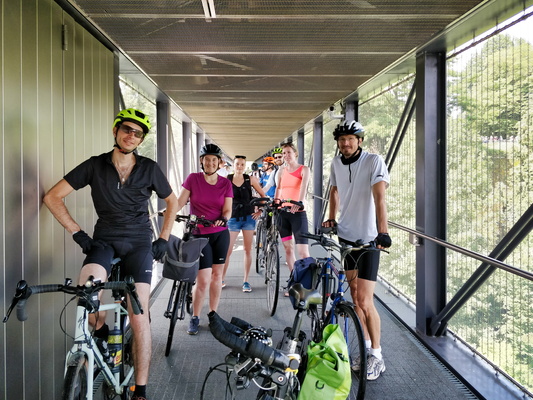
B:loft picnic ride to Maison Néolithique
-
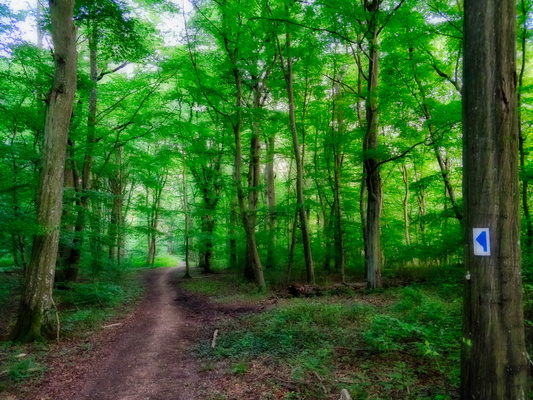
Autopédestre Roedgen hiking path
-
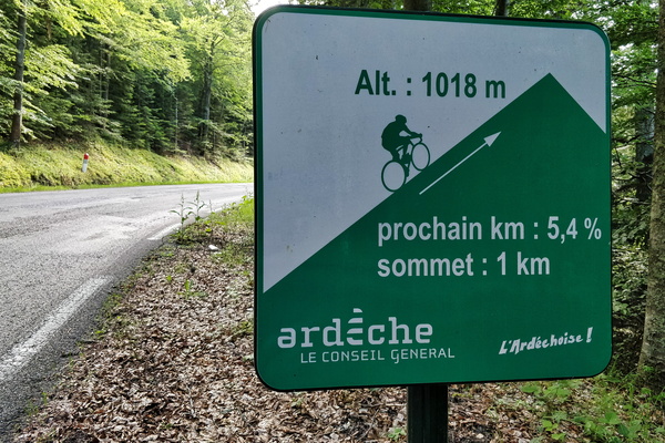
Ascending
-
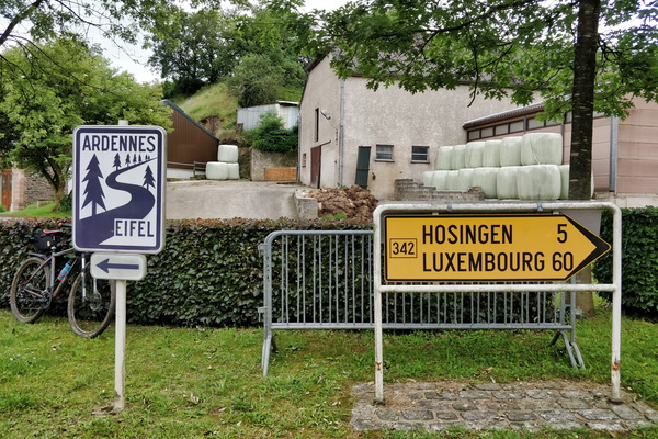
Ardennes-Eifel route
-
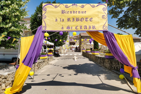
Ardéchoise welcome banner in Saint-Clair
-
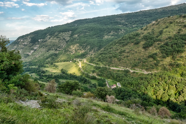
Ardéchoise 2018 near Saint-Priest
-
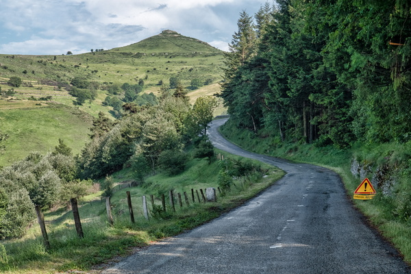
Ardéchoise 2018 near Saint-Julien-du-Gua
-
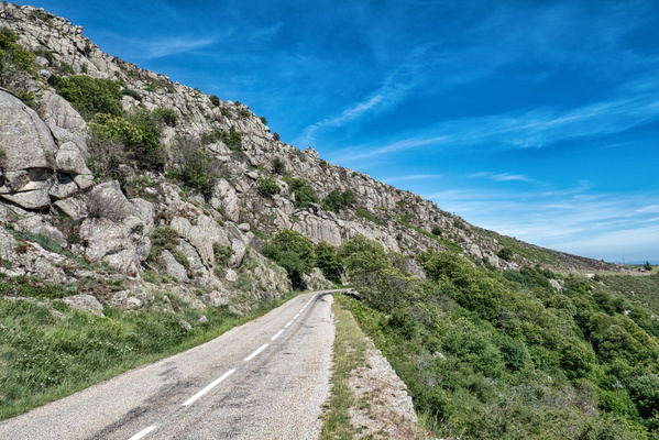
Ardéchoise 2018 near Montselgues
-
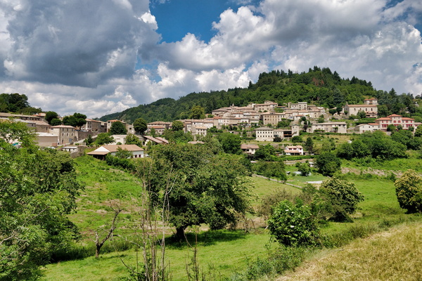
Ardéchoise 2018 near Chalencon
-
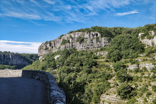
Ardéchoise 2018 near Balazuc
-
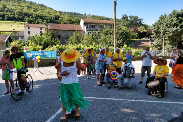
Ardéchoise 2018 in Satillieu
-
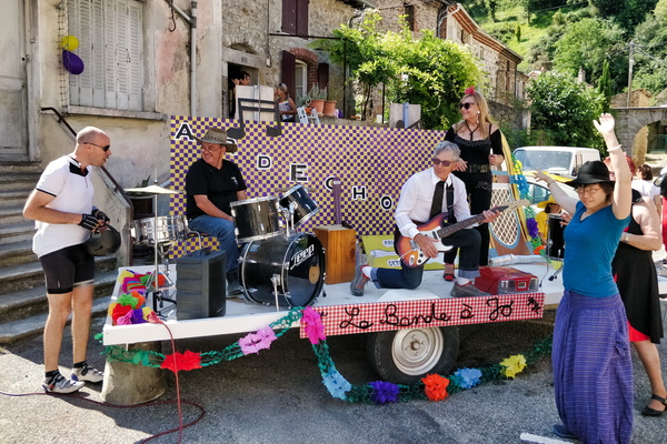
Ardéchoise 2018 in Sarras
-
Ardéchoise 2018 in Chalencon
-
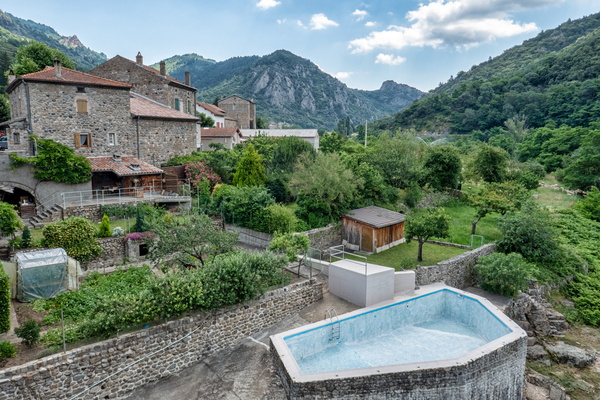
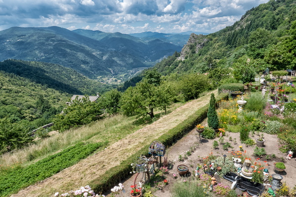
Ardéchoise 2018 in Chalencon
-
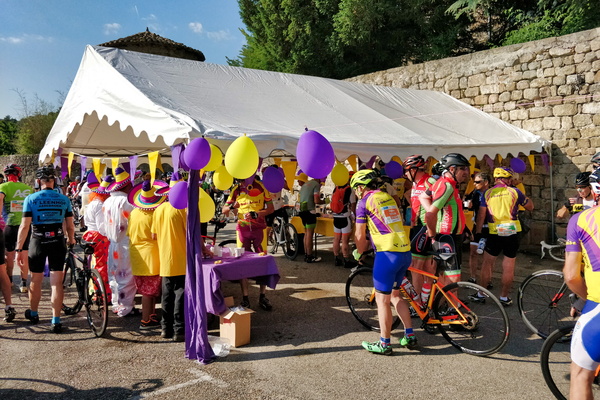
Ardéchoise 2018 in Bozas
-
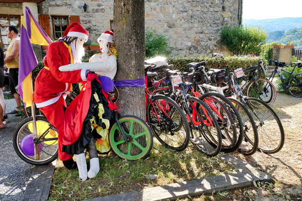
Ardéchoise 2018 in Boucieu-le-Roi
-
Ardéchoise 2018 in Anneyron
-
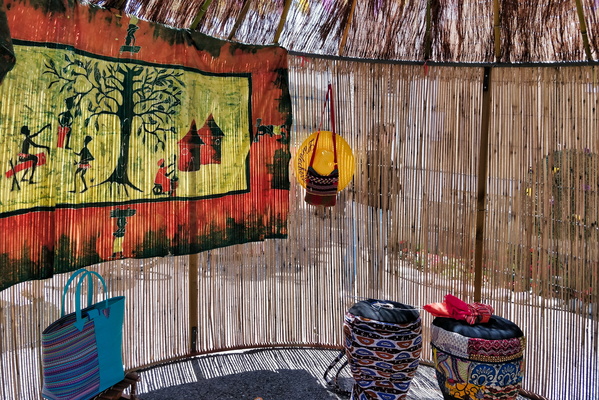
Ardéchoise 2018 departure pointt
-
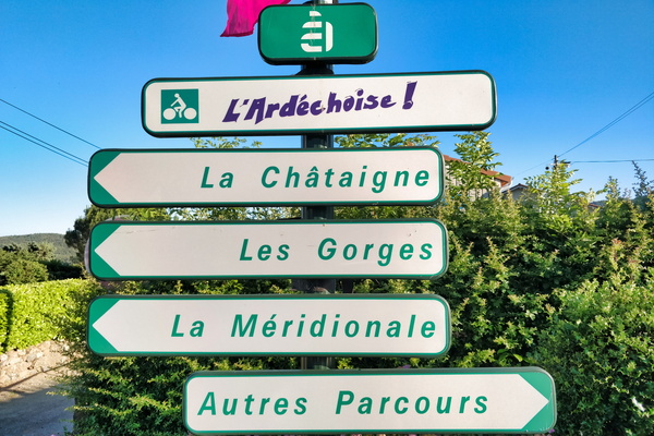
Ardéchoise 2018
-
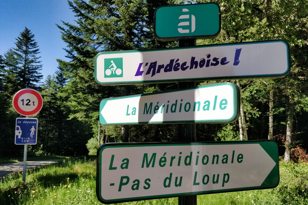
Ardéchoise 2018
-
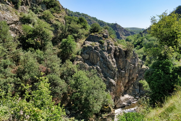
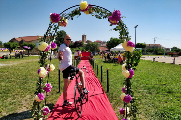
Ardéchoise 2018
-
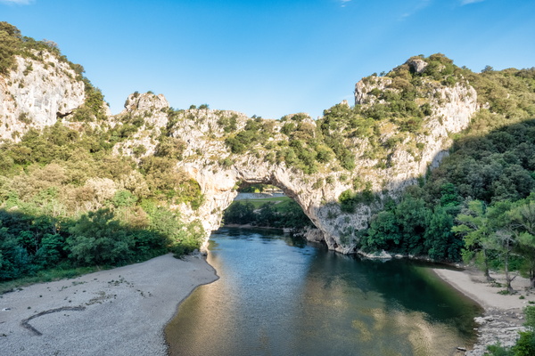
Ardèche river near Vallon-Pont-d'Arc
-
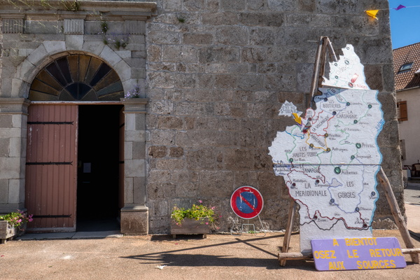
Ardèche map in Sainte-Eulalie
-
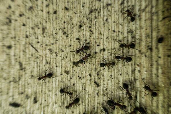
Ants
-
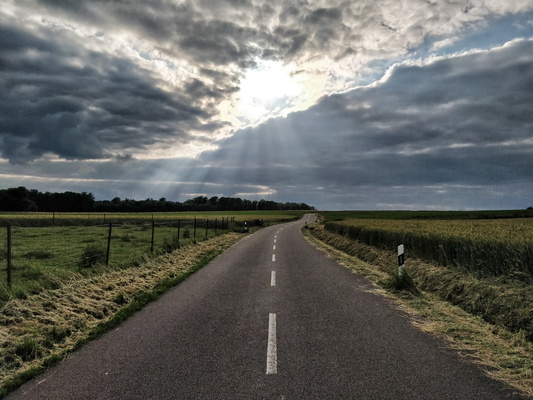
An empty road
-
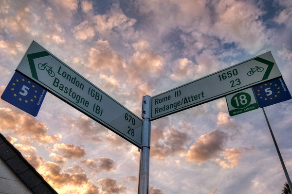
All ways lead to Rome
-
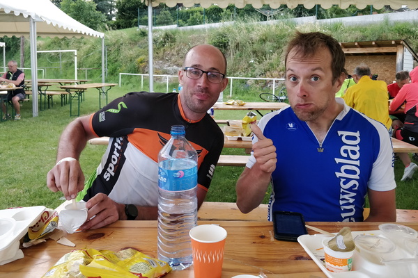
After-ride meal
-
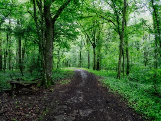
After work: back to the forest
-
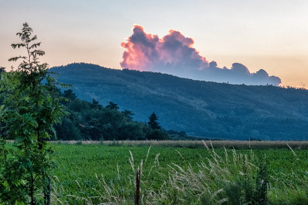
After sunset in Saint Victor
-
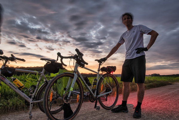
After failed full Moon rise catching attempt
-
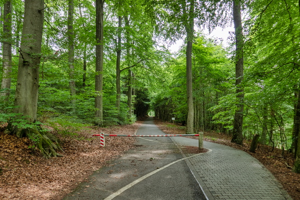
Access gate on PC 2 near Senningerberg
-
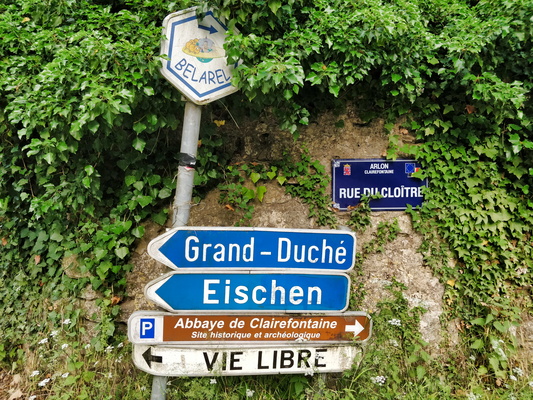
A hook in Belgium between Eischen and Grass
-
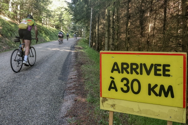
30 km left to finish this 700 km tour
-
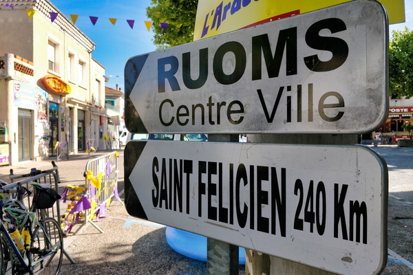
240 km to Saint-Félicien!
-
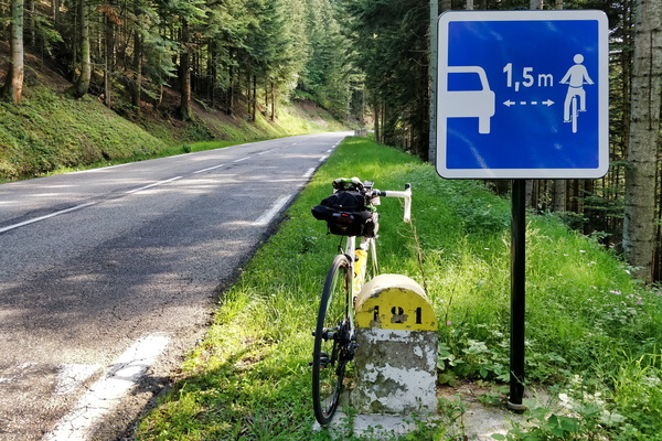
1.5 metre
-
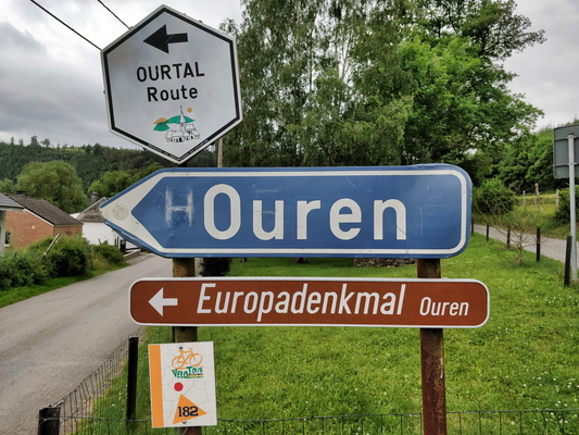
(H)Ouren
