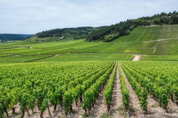
-
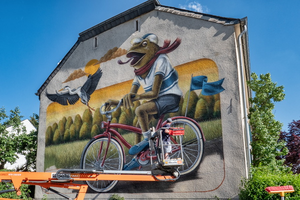
Work in progress
-
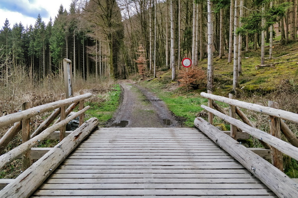
Wooden bridge on PC 5
-
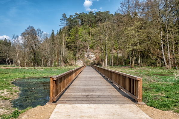
Wooden bridge near nowhere
-
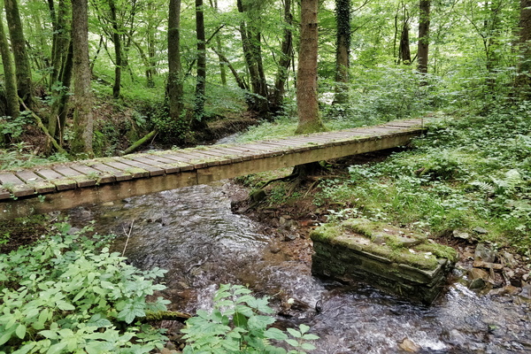
Wodden bridge in Ourtal
-
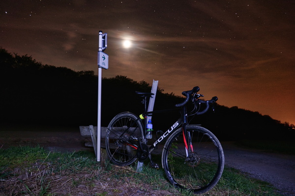
Wisen West Tour at night
-
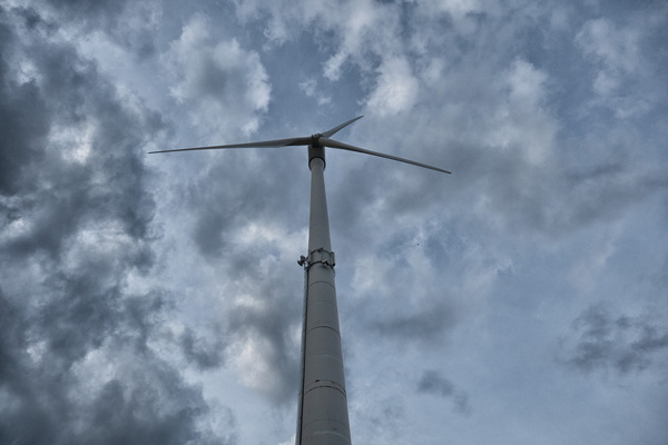
Windmill
-
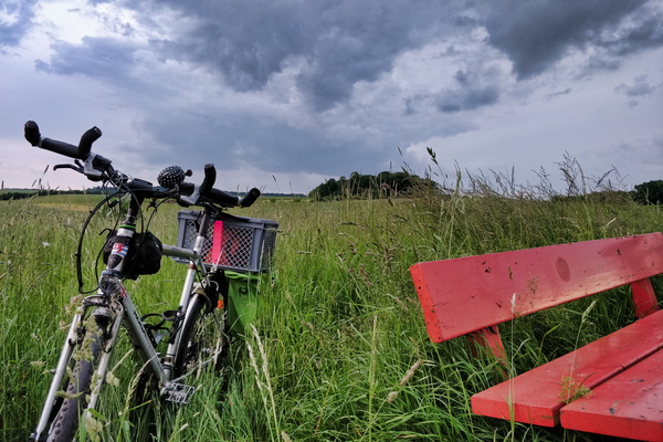
Will it rain? Yes!
-
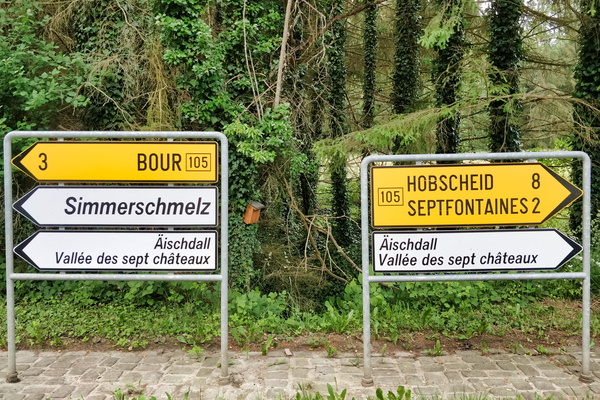
Which way to Äischdall?
-
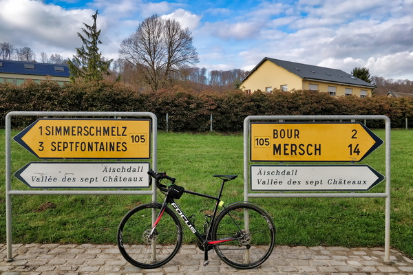
Which way to Äischdall?
-
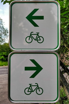
Where should I go?
-
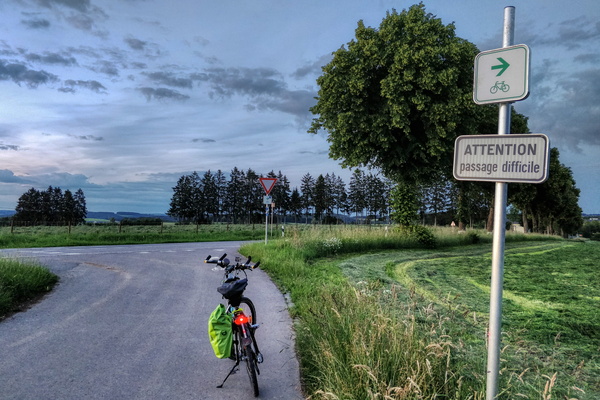
Where PC 18 goes on the main road
-
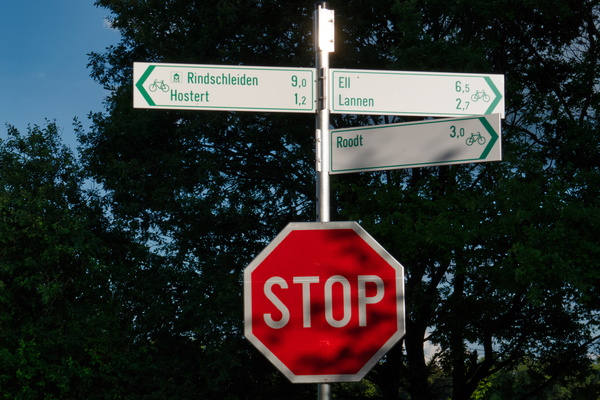
Where PC 17 meets several local cycling routes
-
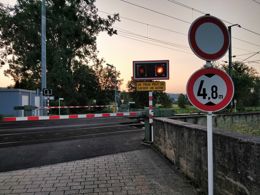
When this happens, it can take a while...
-
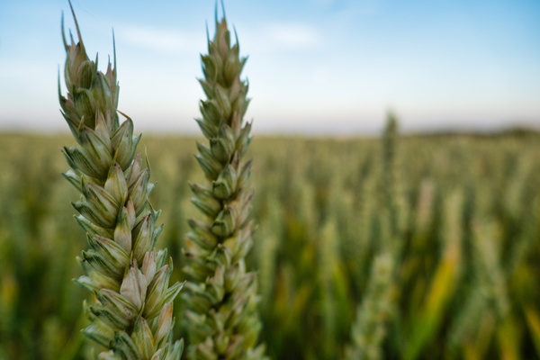
Wheat
-
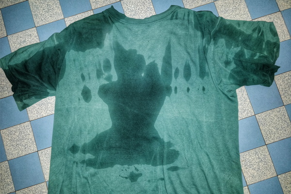
Wet tee after the rain
-
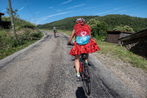
Well-dressed cyclist
-
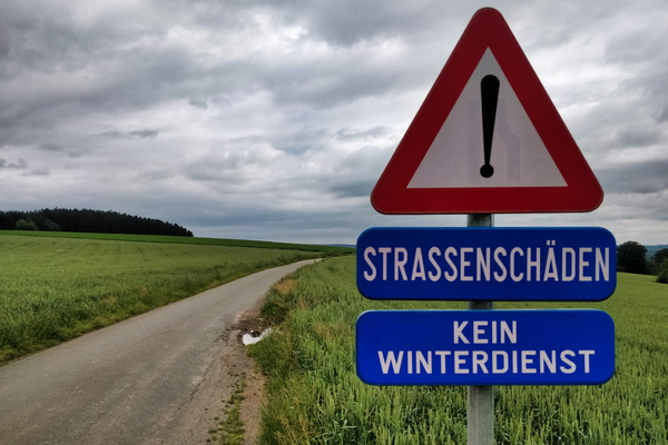
Welcome to the German speaking part of Belgium
-
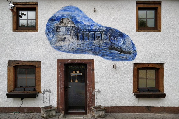
Welcome to the decorated house
-
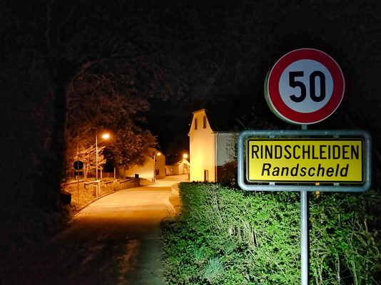
Welcome to Rindschleiden
-
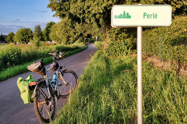
Welcome to Perlé
-
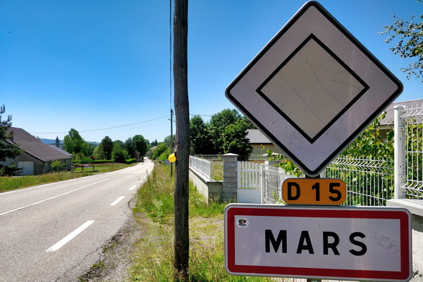
Welcome to Mars
-
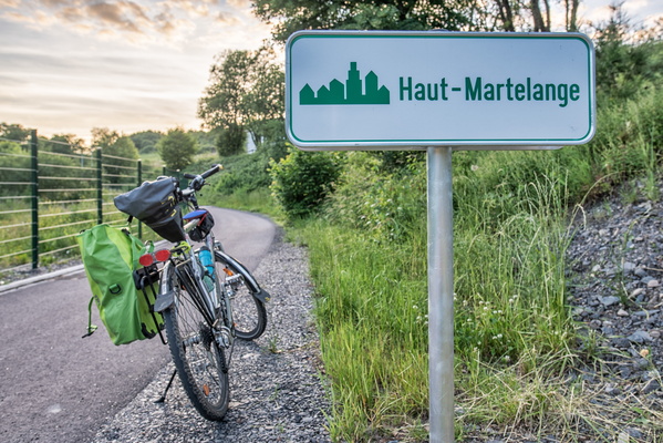
Welcome to Haut-Martelange
-
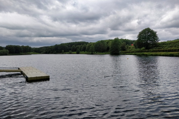
Weiswampach lake
-
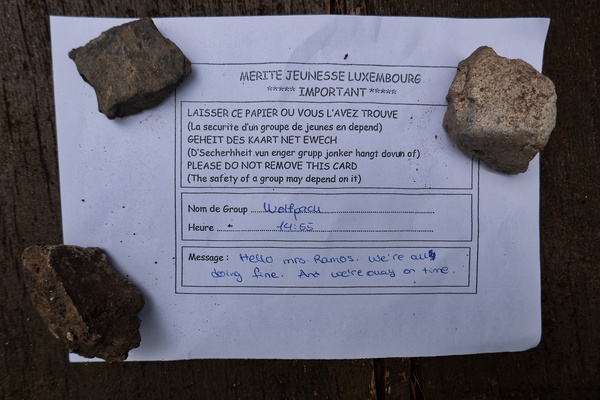
We're all doing fine!
-
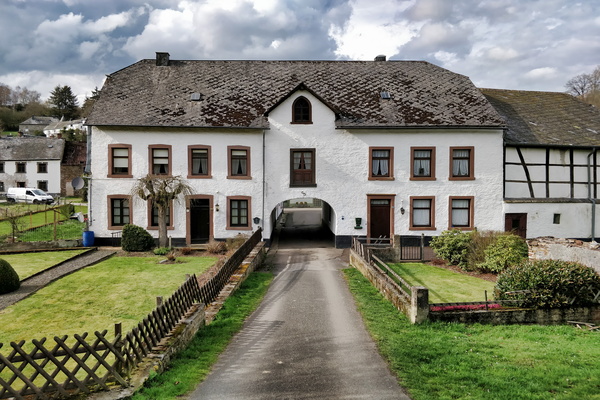
Way going through a house
-
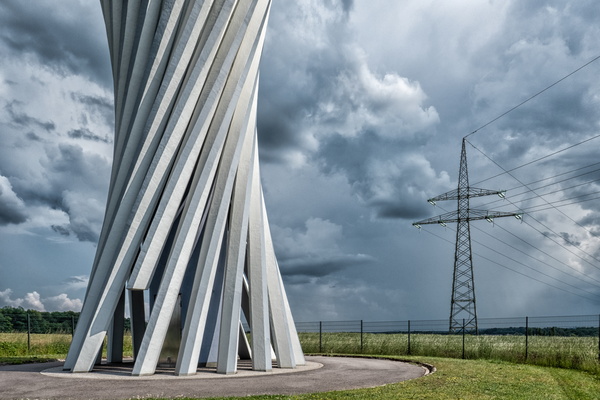
Water, air and wires
-
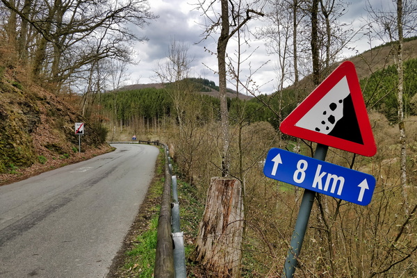
Watch your head for 8 km
-
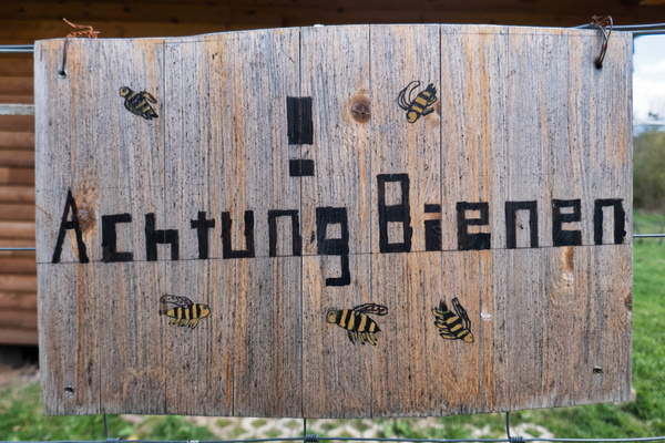
Watch for bees
-
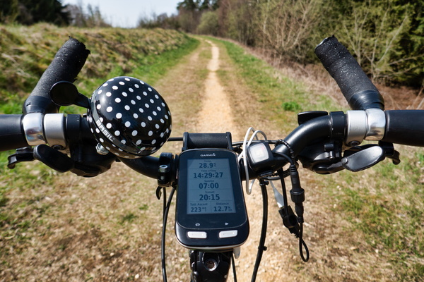
Warm weather for early April
-
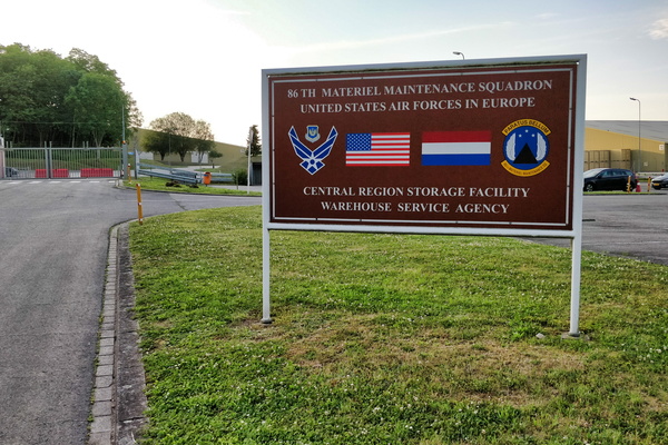
Warehouse Service Agency
-
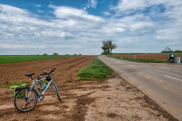
Waiting for Elsy Jacobs race
-
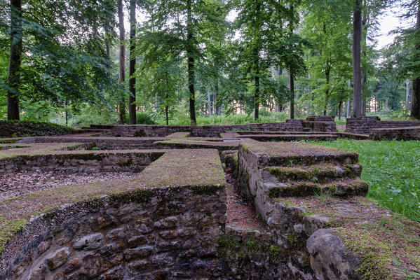
Villa Romaine Goeblange
-
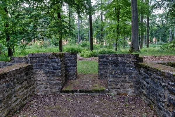
Villa Romaine Goeblange
-
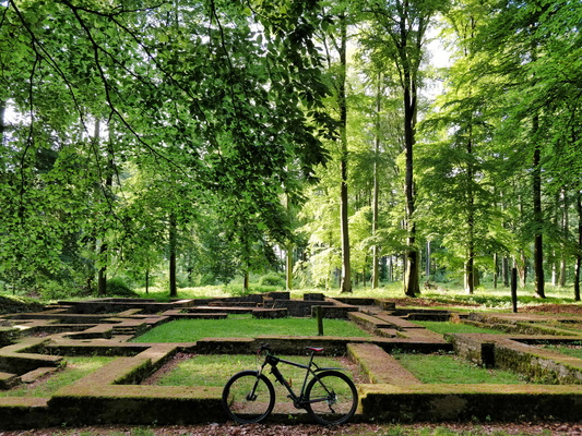
Villa Romaine Goeblange
-
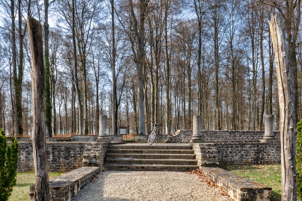
Villa Romaine Goeblange
-
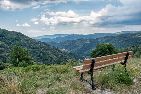
Viewpoint near Saint-Pierreville
-
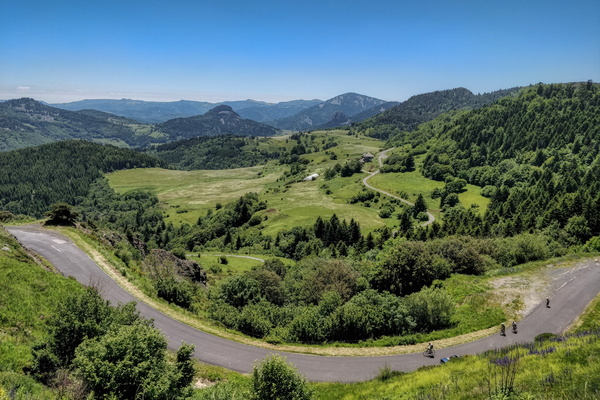
Viewpoint near La Rochette
-
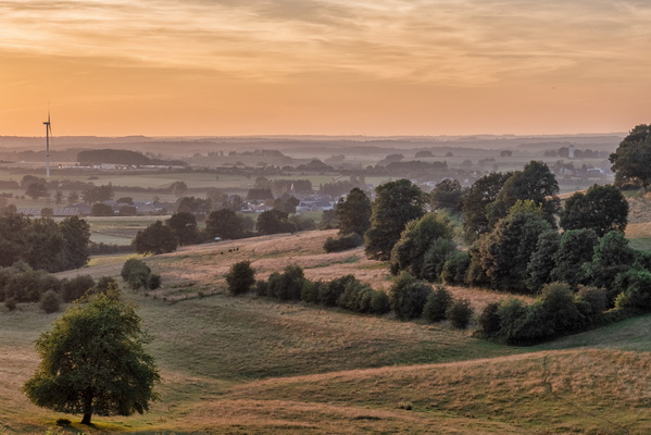
Viewpoint near Hivange
-
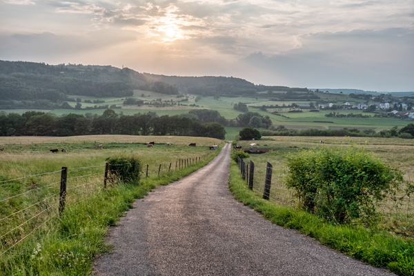
View towards Äischdall near Mersch
-
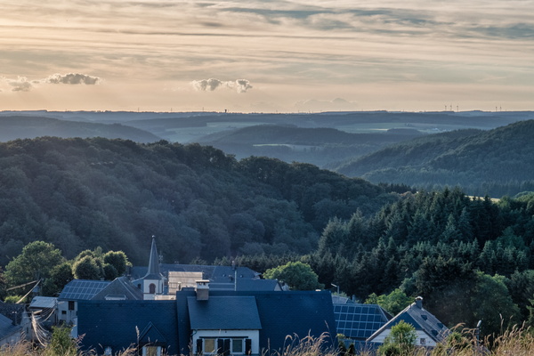
View over the Upper-Sûre valley
-
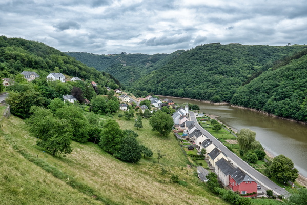
View over Bivels
-
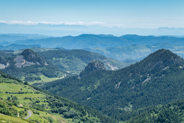
View near Croix de Boutières, Borée
-
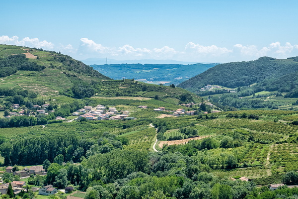
View from Saint-Désirat
-
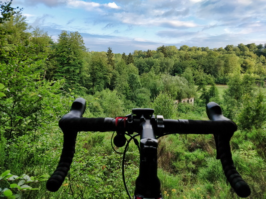
View from PC 12 near Steinfort
-
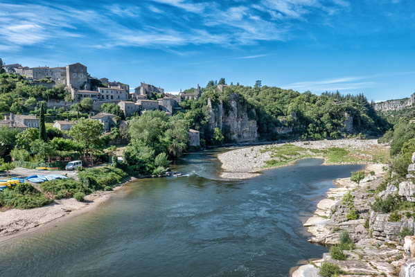
View from Balazuc bridge
-
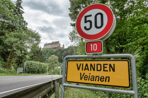
Vianden and its castle
-
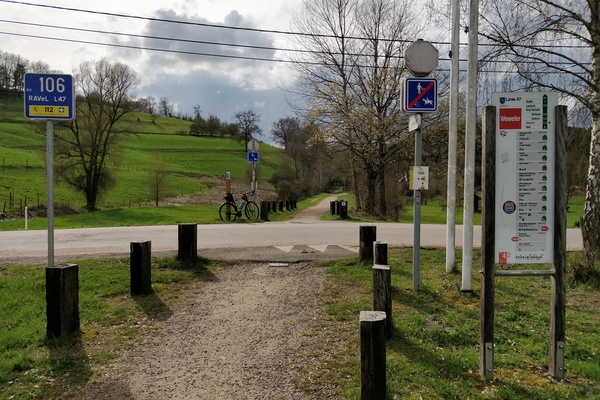
Vennbahn in Weweler
-
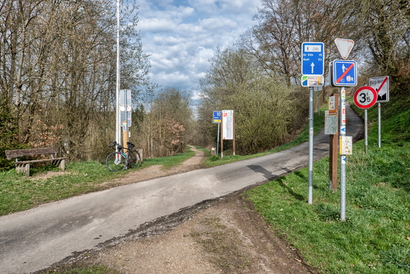
Vennbahn in Burg-Reuland
-
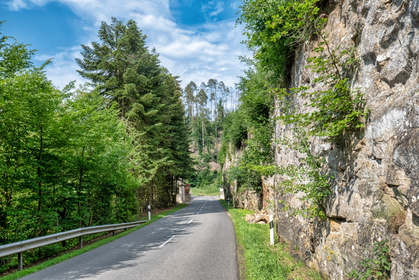
Valley of the Seven Castles
-
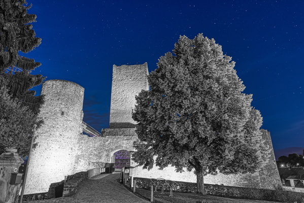
Useldange Castle
-
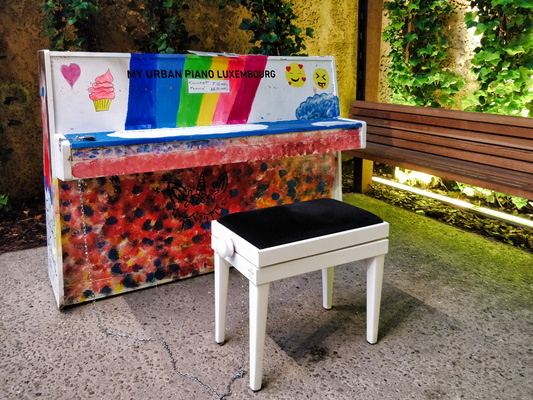
Urban Piano Luxembourg
-
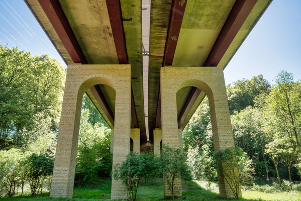
Under the motorway
-
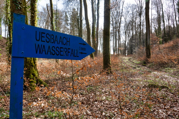
Uesbaach Waasserfall sign near Nospelt
-
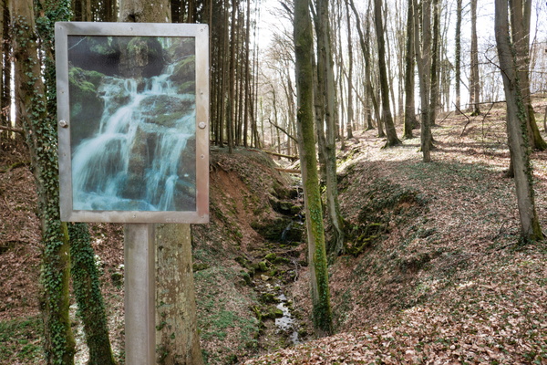
Uesbaach Waasserfall
-
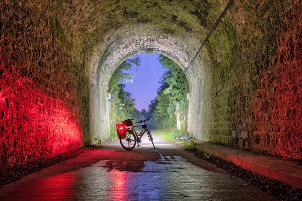
Twilight at the end of the tunnel
-
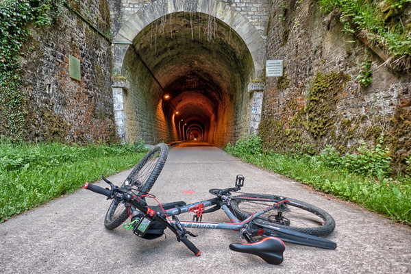
Tunnel on PC 12
-
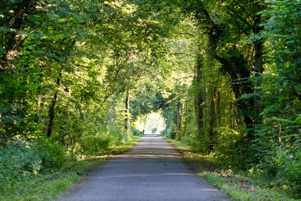
Tunnel of trees near Clemency
-
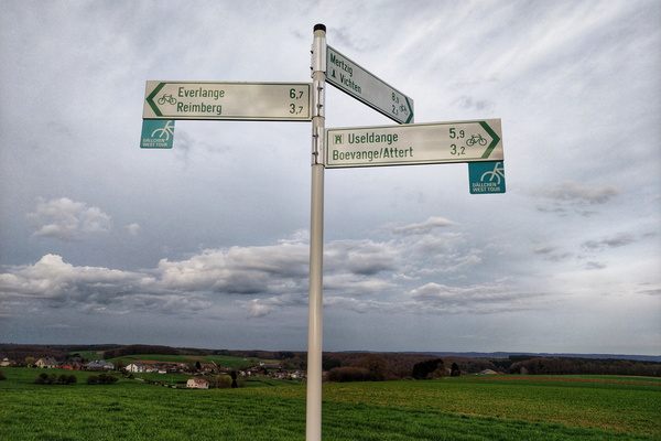
Try to find the location
-
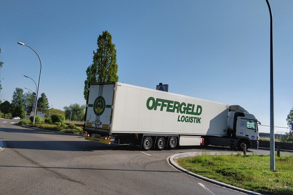
Truck trying its way out from the no-through road
-
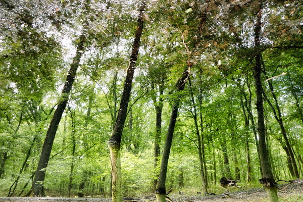
Trees reflected in water
-
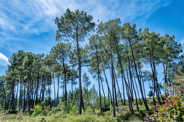
Trees near Lablachère
-
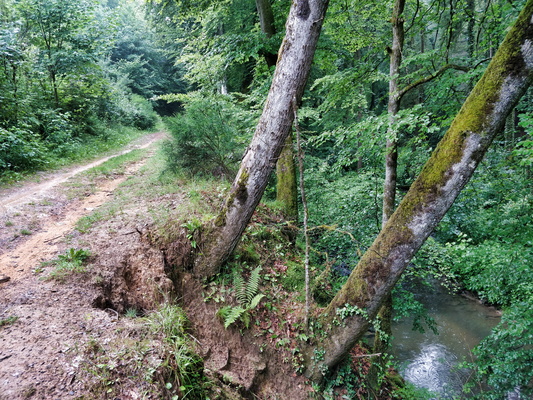
Trees at an angle
-
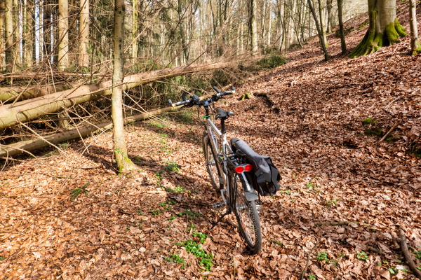
Tree on the way
-
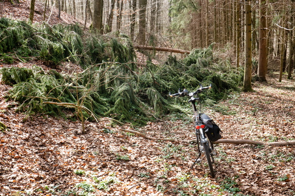
Tree on the way
-
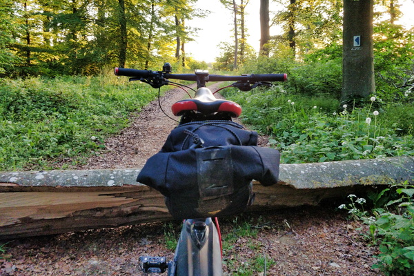
Tree across the track
-
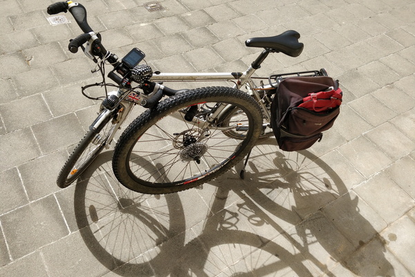
Transporting a wheel on a bike
-
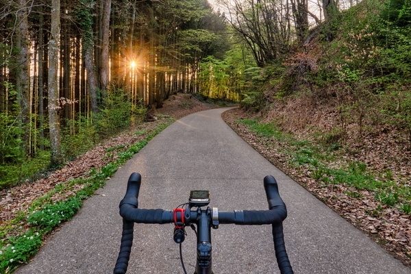
Traditional photo stop near Eischen
-
Tracks near Hivange
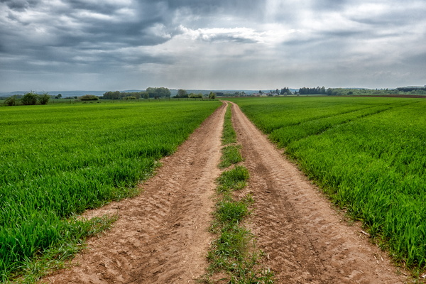
-
Track North of Bridel
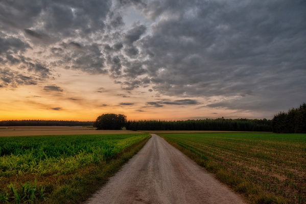
-
Track in Belgium going to Luxembourg
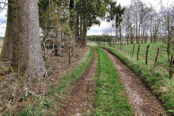
-
Track from Bilsdorf to return to the road
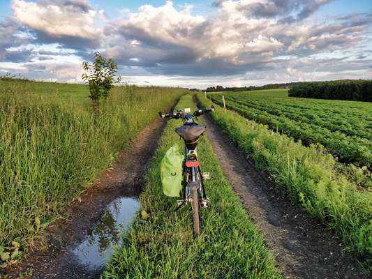
-
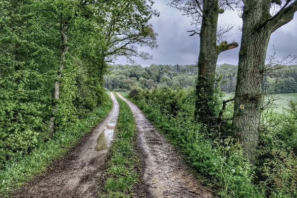
Track between two storms
-
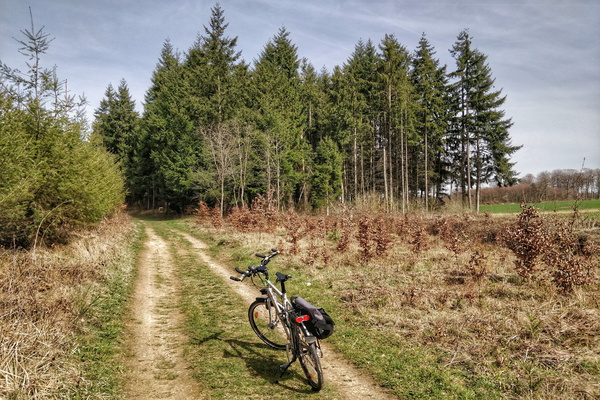
Track between Brameschaff and Kehlen
-
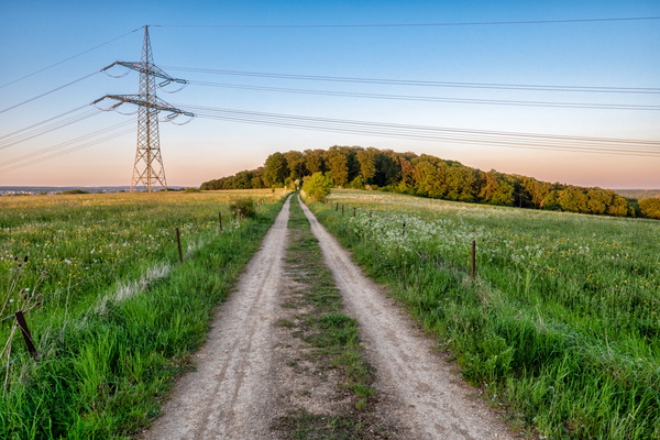
Track between Bertrange and Dippach-Gare
-
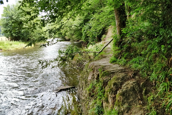
Tough path
-
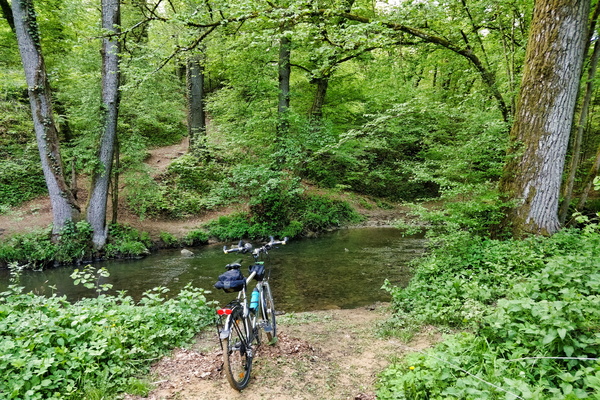
To ford or not to ford?
-
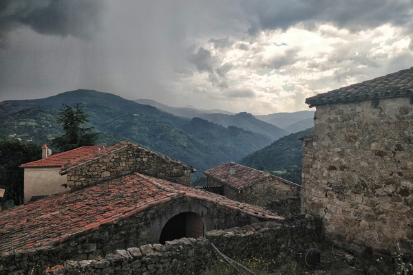
Thunderstorm near Saint-Étienne-de-Serre
-
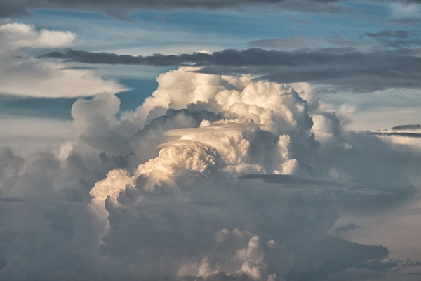
Thunderstorm cloud
-
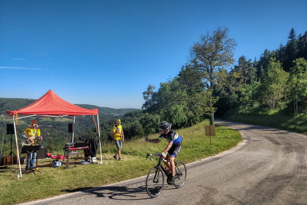
Thumb up to the music band
-
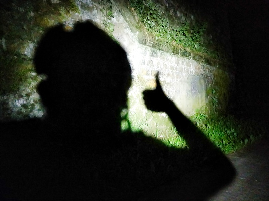
Thumb up
-
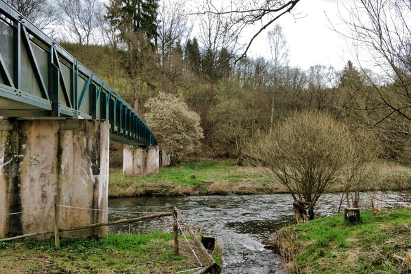
Three boundary stones
-
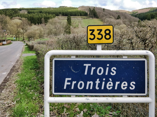
Three borders
-
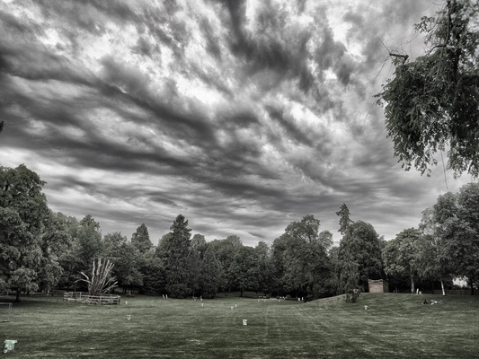
Threatening sky in the city park
-
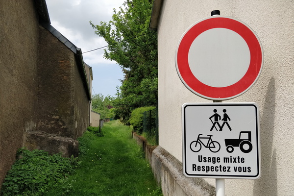
This way sems a bit narrow for a tractor...
-
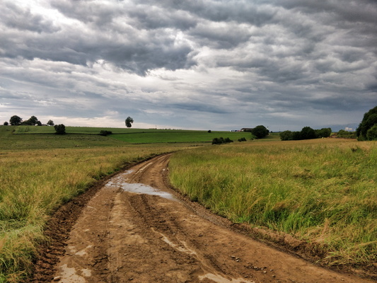
This is a paved road
-
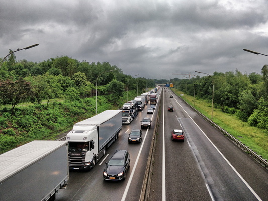
Their freedom
-
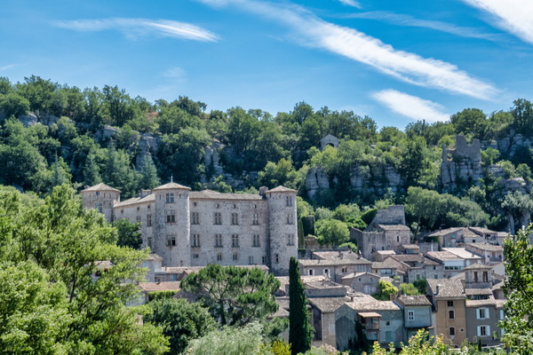
The village of Vogüé
-
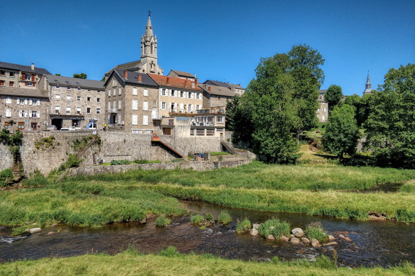
The village of Tence
-
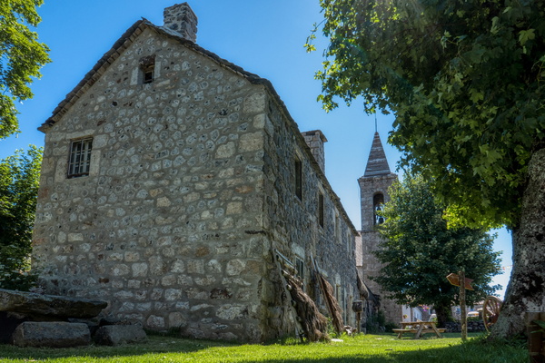
The village of Sainte-Eulalie
-
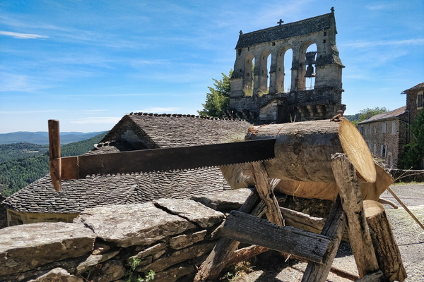
The village of Saint-Pierre-Saint-Jean
-
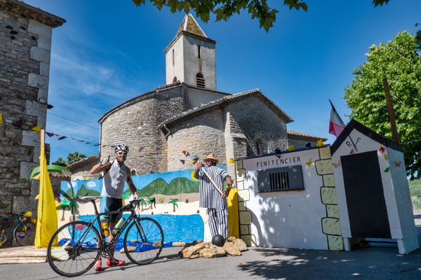
The village of Saint-Maurice-d'Ardèche
-
The village of Saint-Clair
-
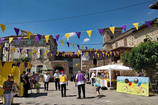
The village of Rochecolombe
-
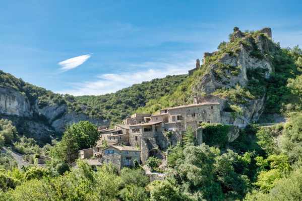
The village of Planzolles
-
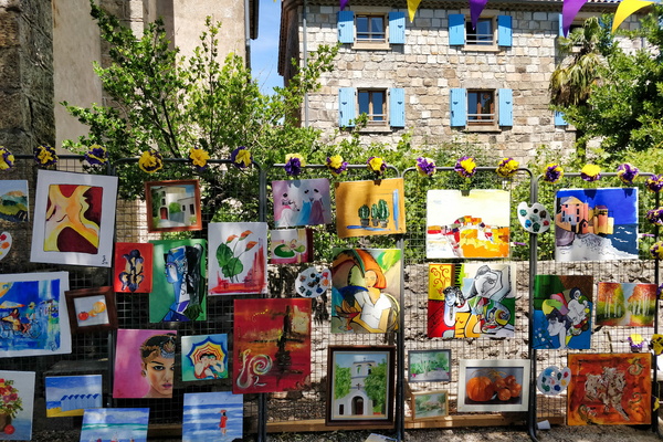
The village of Loubaresse
-
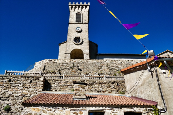
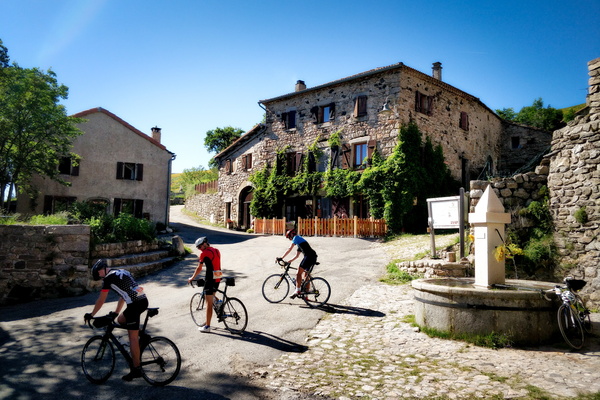
The village of Loubaresse
-
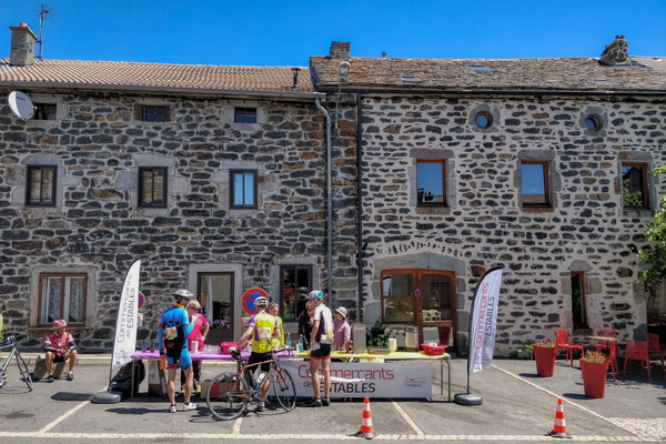
The village of Les Estables
-
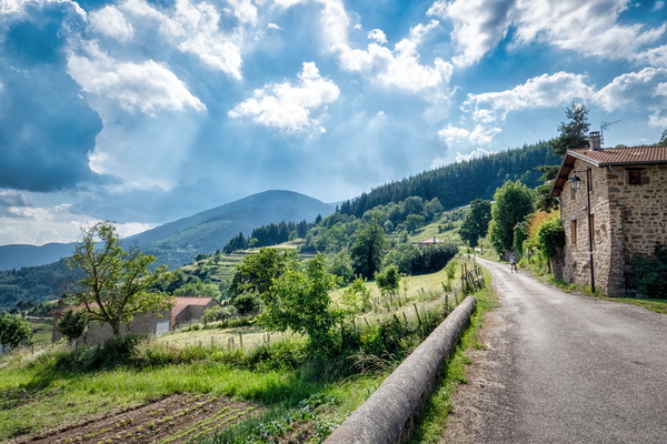
The village of Le Monestier
-
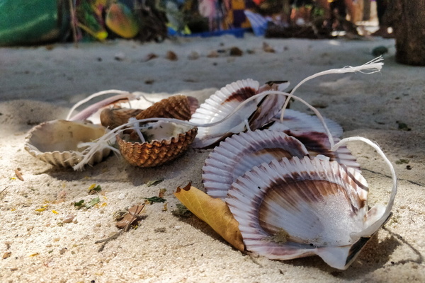
The village of Laurac-en-Vivarais
-
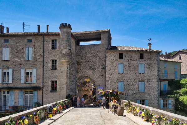
The village of Largentière
-
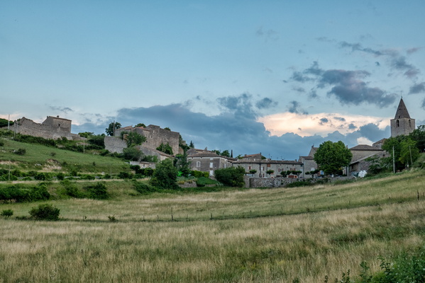
The village of Gras
-
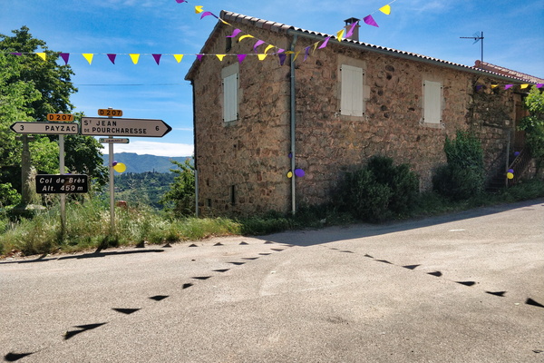
The village of Faugères
-
The village of Chassiers
-
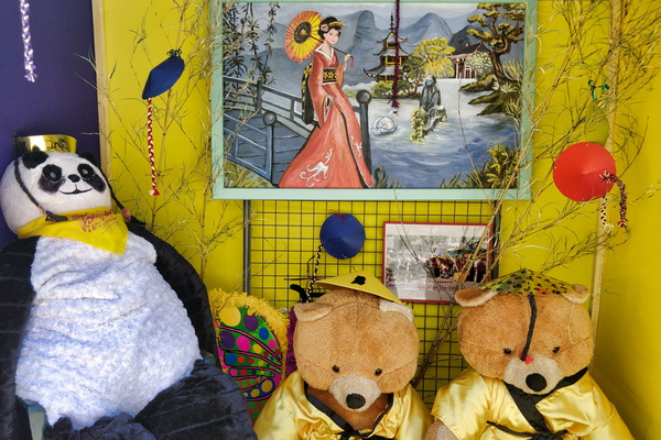
The village of Chassiers
-
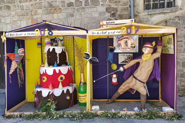
The village of Chassiers
-
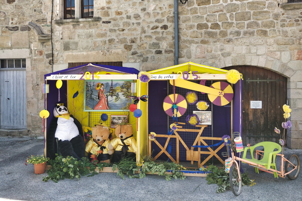
The village of Chassiers
-
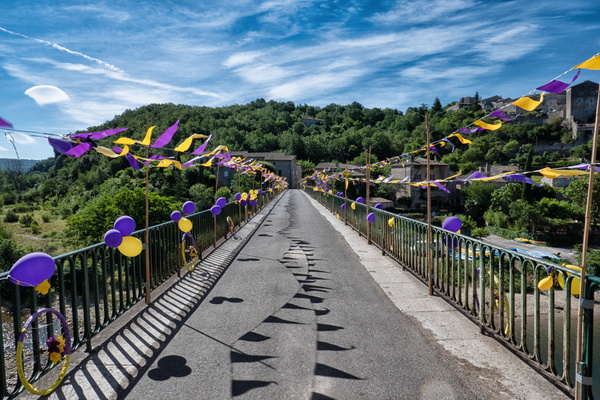
The village of Balazuc
-
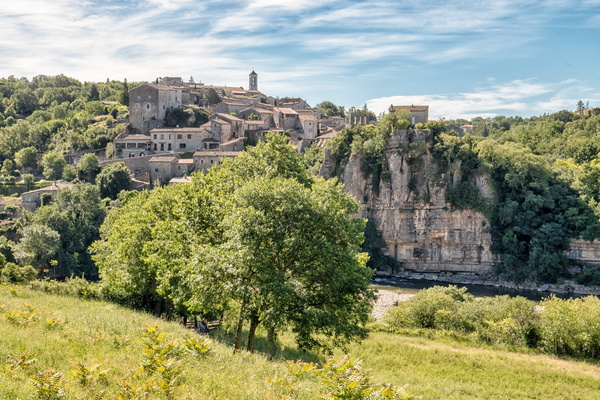
The village of Balazuc
-
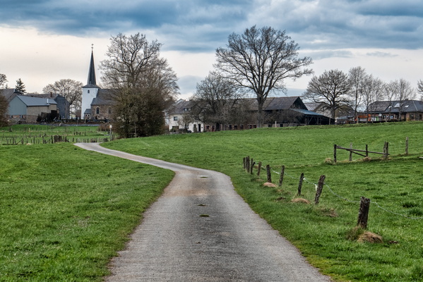
The village of Aldringen
-
The usually closed railroad crossing in Capellen

-
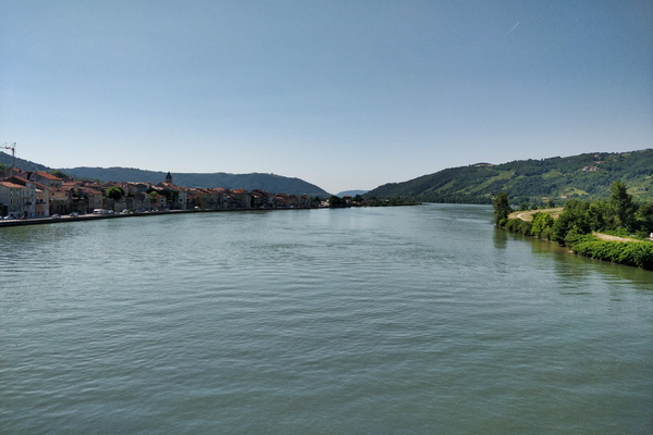
The Rhone river
-
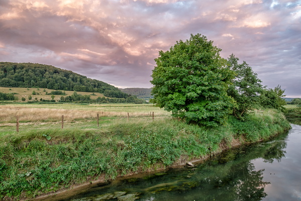
The opposite direction of the sunset
-
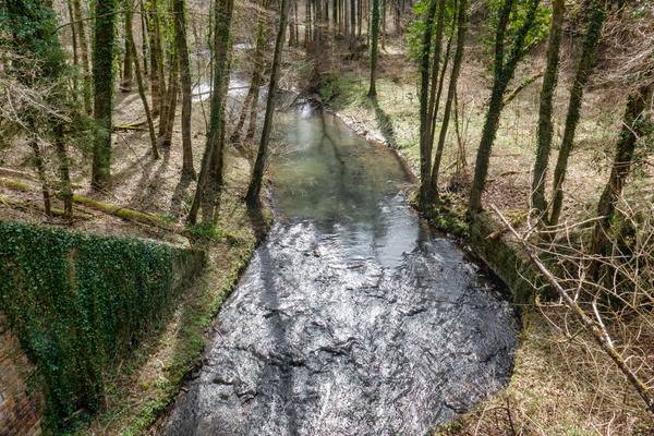
The Mamer river
-
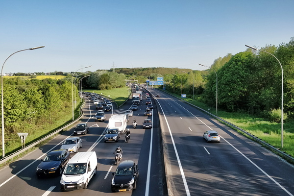
The freedom of driving a car...
-
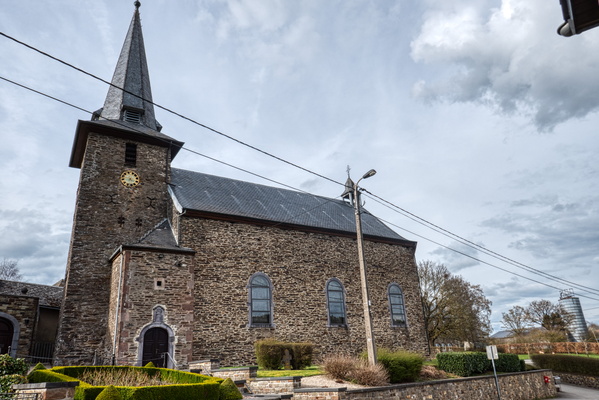
The church of Espeler
-
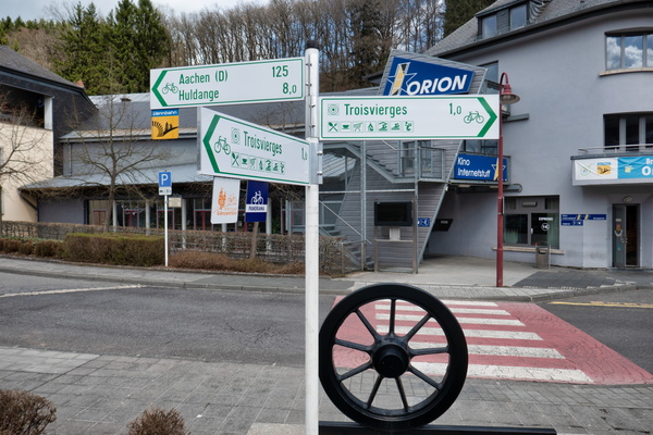
The beginning (or the end) of Vennbahn
-
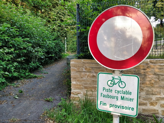
Temporary end
-
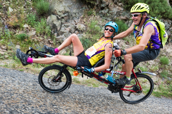
Tandem cyclists in Saint-Barthélemy-le-Meil
-
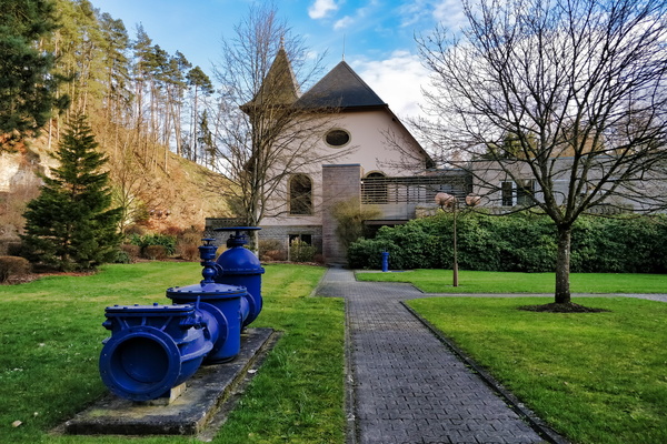
Syndicat des Eaux du Sud
-
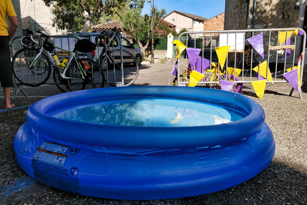
Swimming pool in Ruoms
-
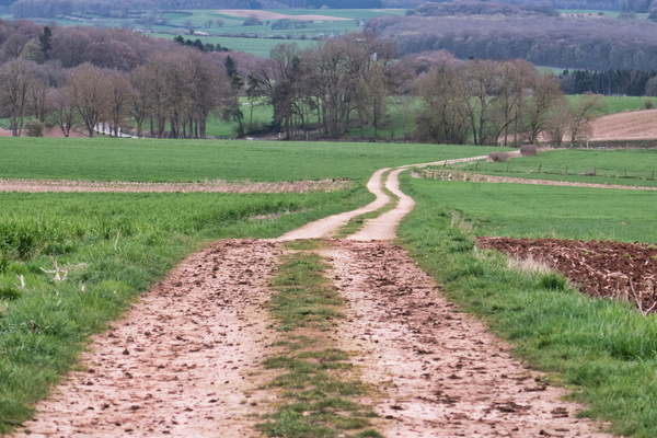
Surface change near Vichten
-
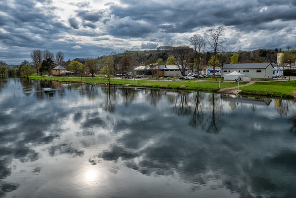
Sûre river
-
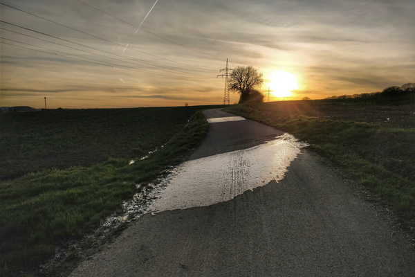
Sunset on PC 13 between Mamer and Garnich
-
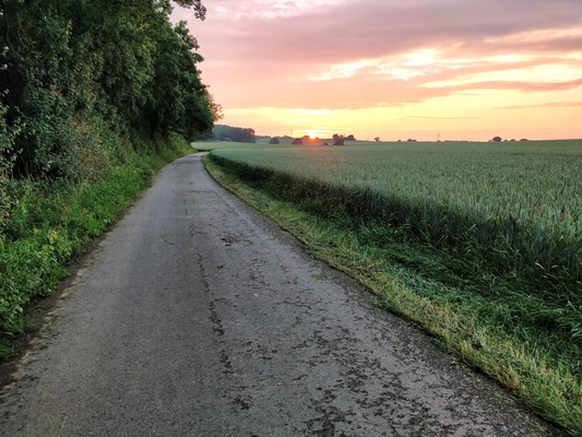
Sunset near Holzem
-
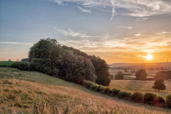
Sunset near Hivange
-
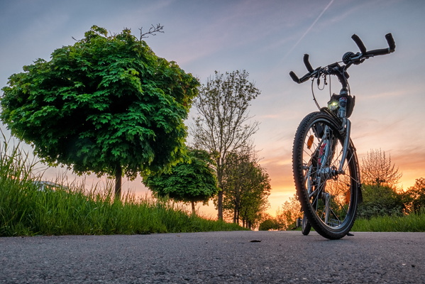
Sunset in Helfent Park
-
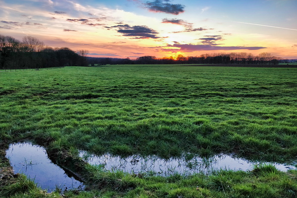
Sunset between Schouweiler and Hivange
-
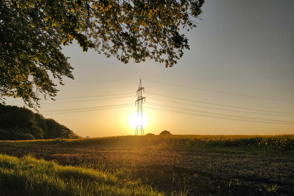
Sunset between Reckange and Leudelange
-
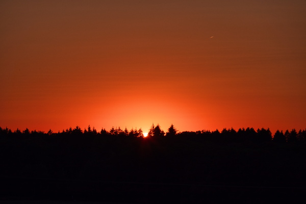
Sunset
-
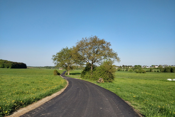
Sunny morning to work
-
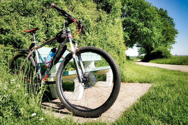
Stop at the bench to study
-
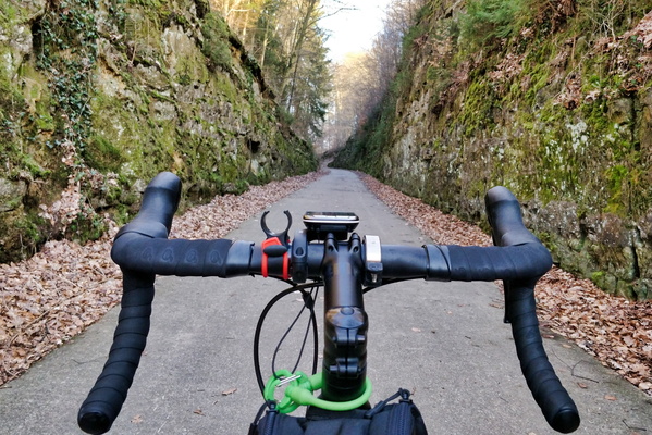
Steinfort canyon
-
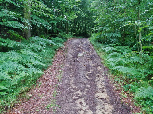
Steep but short climb
-
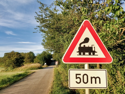
Steam train sign
-
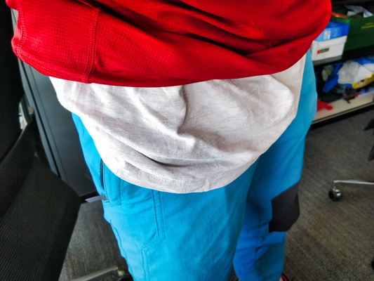
Starting MVOS 2018 wearing Luxembourg flag
-
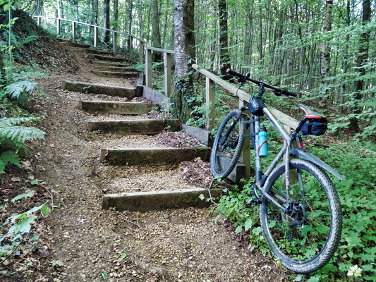
Stairs
-
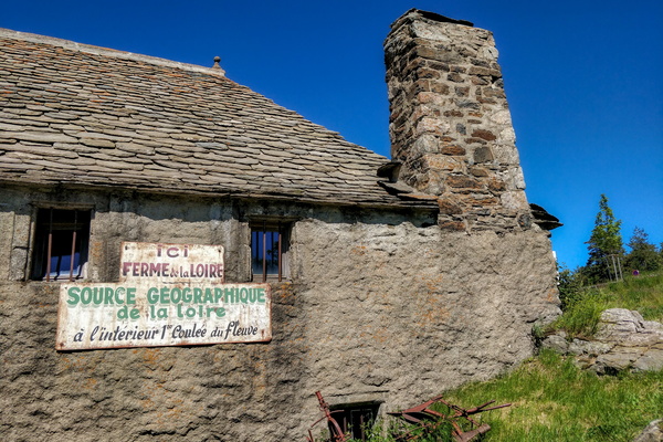
Source géographique de la Loire
-
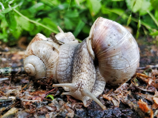
Snails mating
-
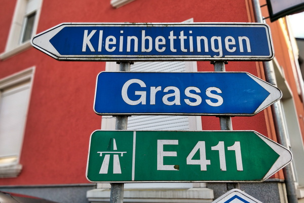
Signs in Sterpernich
-
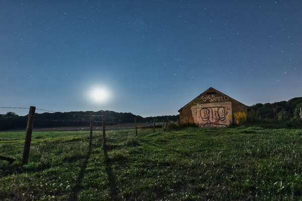
Sick World
-
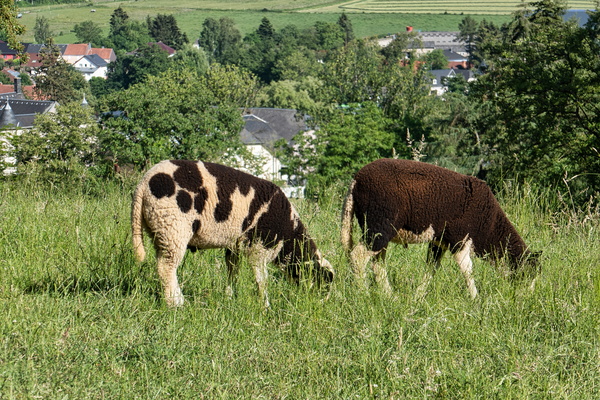
Sheep in Garnich
-
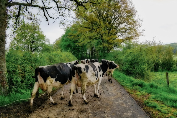
Sharing the road
-
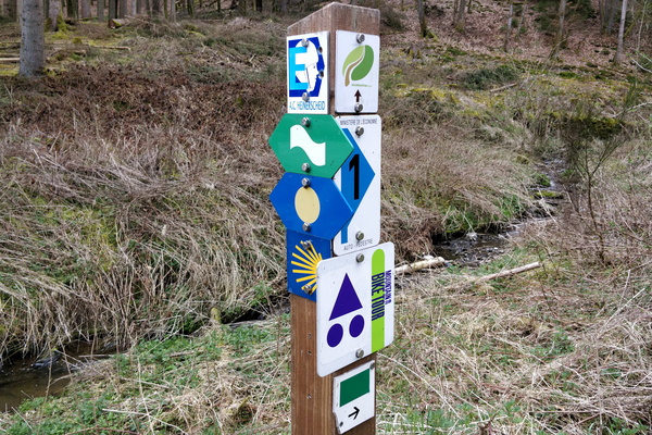
Several trails
-
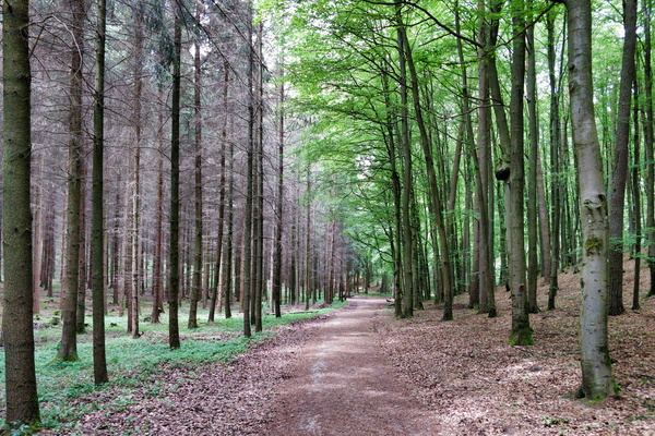
Separator
-
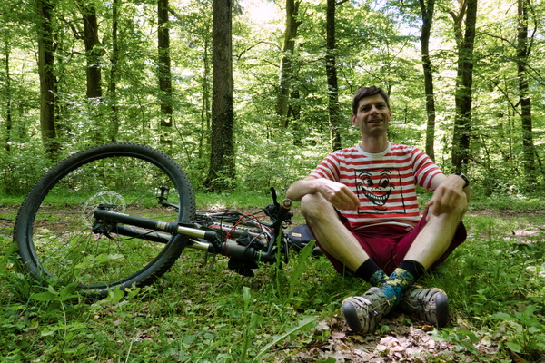
Selfie during a picnic lunch
-
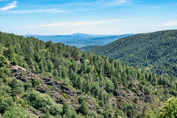
Scenery near Saint-Pierre-Saint-Jean
-
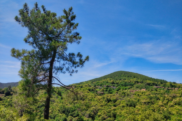
Scenery near Saint-Pierre-Saint-Jean
-
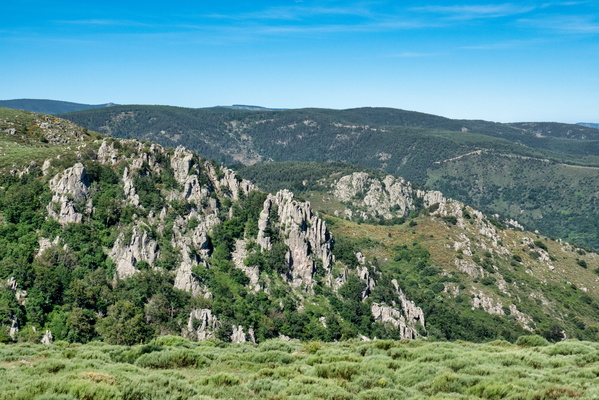
Scenery near Montselgues
-
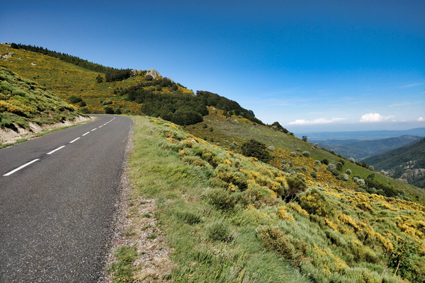
Scenery near Loubaresse
-
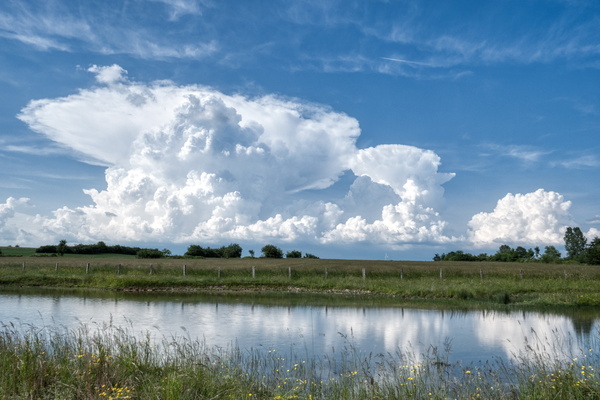
Scary clouds
-
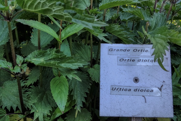
Sainte-Eulalie botanic gardens
-
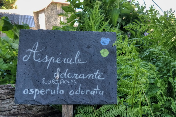
Sainte-Eulalie botanic gardens
-
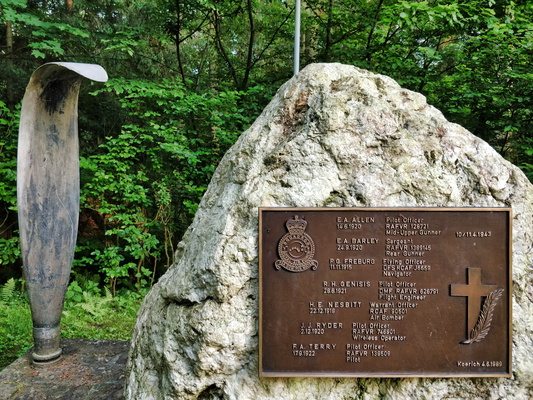
Royal Airforce Fliegerdenkmal
-
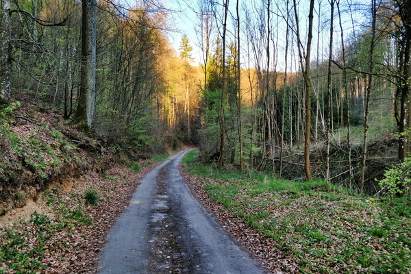
Road from Keispelt/Meispelt down to Direndall
-
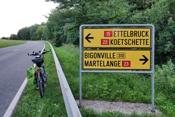
Road directions near Bilsdorf
-
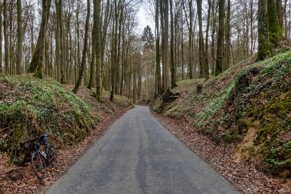
Road between Septfontaines and Schweich
-
Road between Septfontaines and Schweich
-
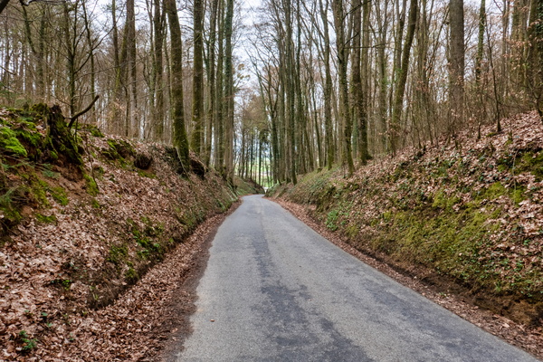
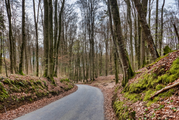
Road between Septfontaines and Schweich
-
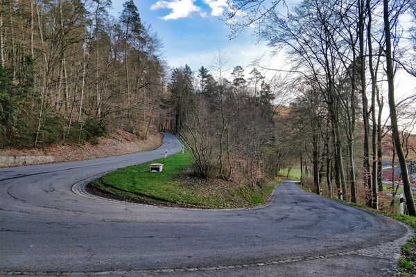
Road between Septfontaines and Goeblange
-
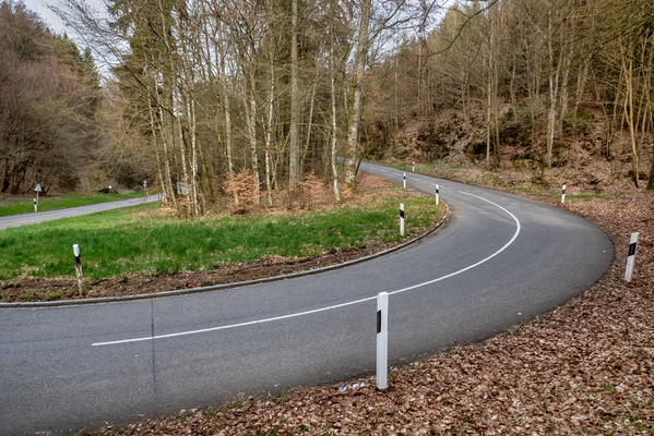
Road between Nospelt and Root/Eisch
-
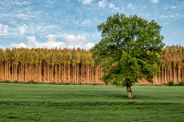
Right time, right place.
-
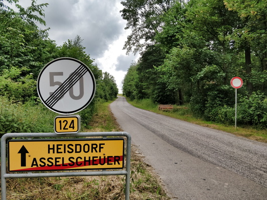
Restricted secondary road out of Asselschuer
-
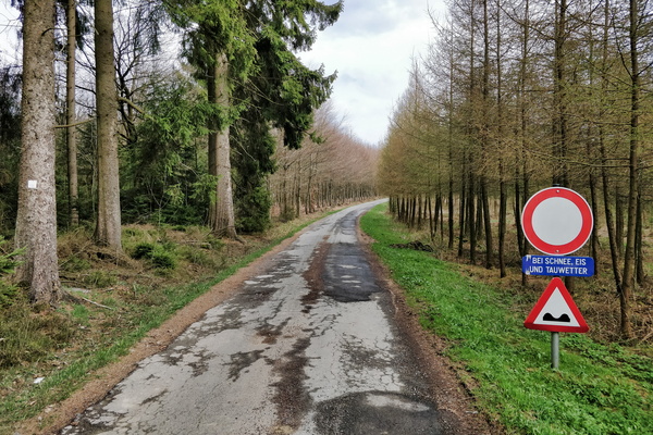
Restricted access during winter conditions
-
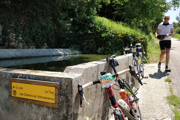
Refreshment at a fountain in Albon
-
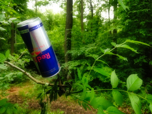
Redbull grows on trees
-
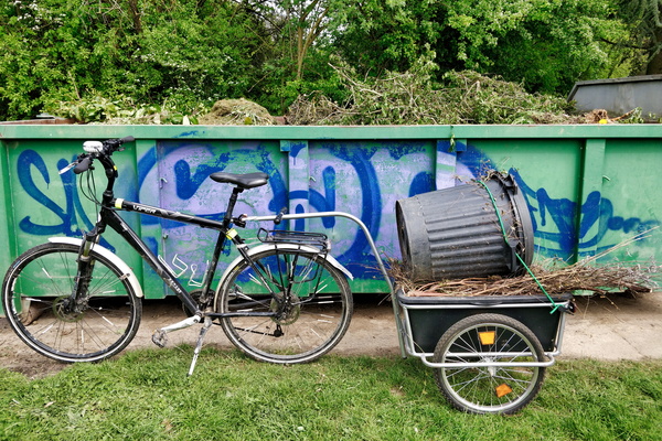
Re-cycling
-
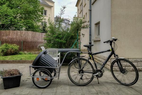
Re-cycling
-
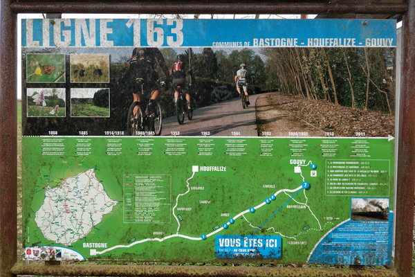
RAVeL line 163 map
-
RAVeL line 163

-
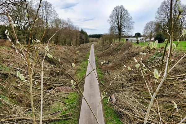
RAVeL line 163
-
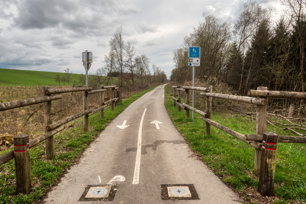
RAVeL line 163
-
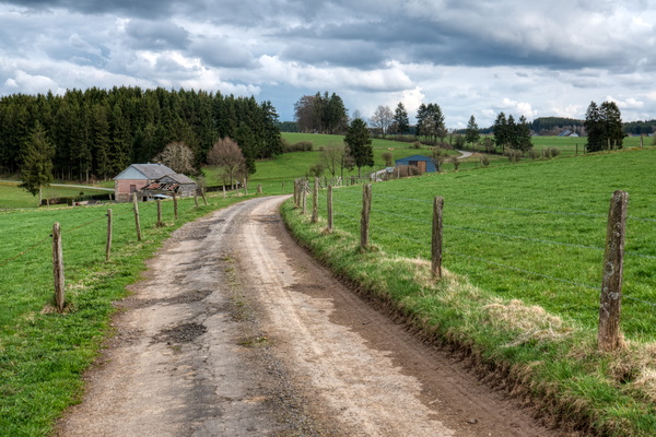
Rambling on a bike near Espeler
-
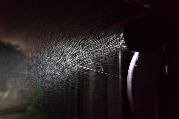
Rainy night
-
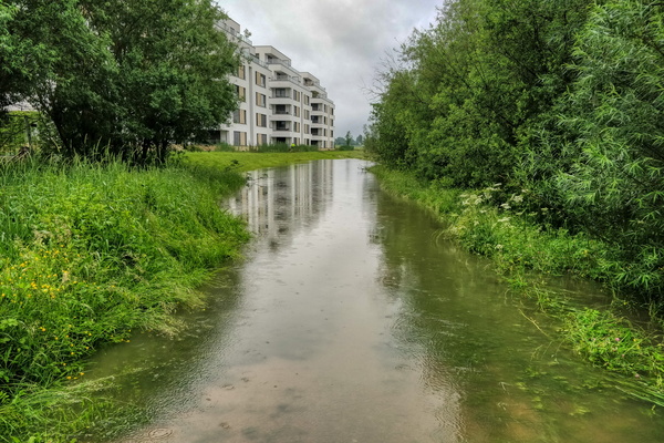
Rainy morning to work after a huge thunderstorm
-
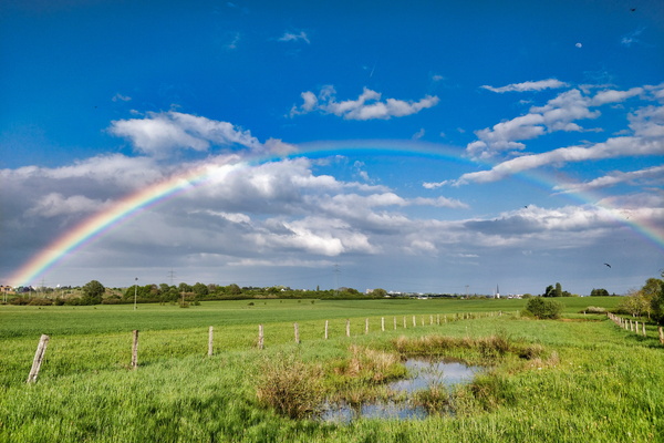
Rainbow over the Grafelt nature reserve
-
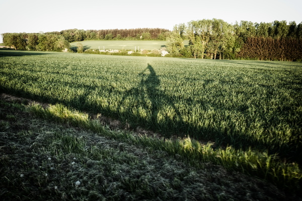
Racing against my shadow
-
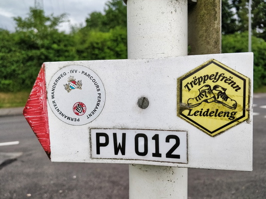
PW 012
-
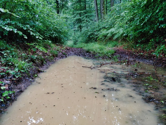
Puddle
-
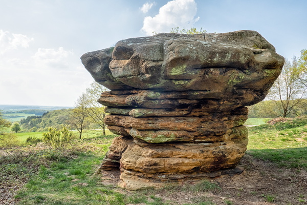
Prehistorical site "Lock - Champignon"
-
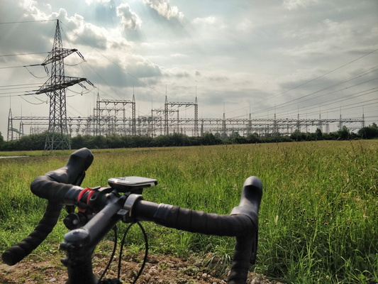
Power substation in Bertrange
-
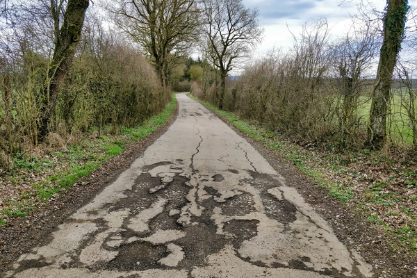
Potholes
-
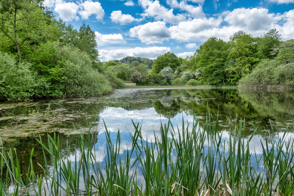
Pond between Béreldange and Bridel
-
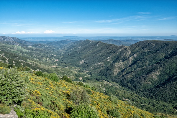
Point de vue du Col de Meyrand
-
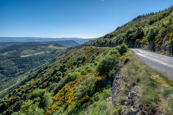
Point de vue du Col de Meyrand
-
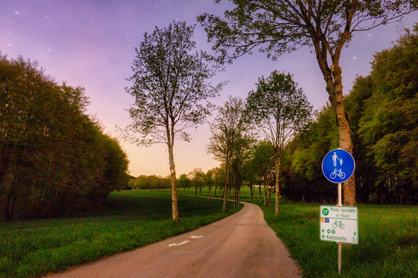
Piste cyclable de l'Ouest, North of Redange
-
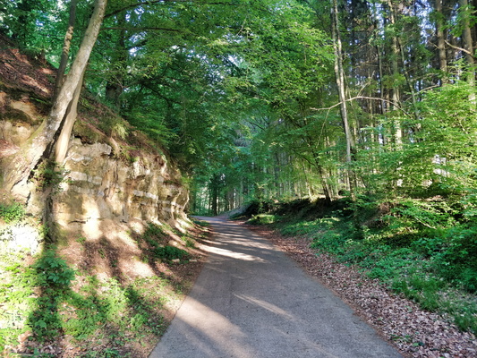
Piste cyclable de l'Attert near Eischen
-
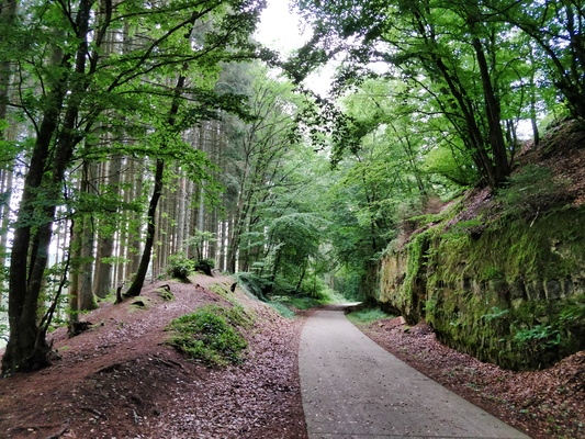
Piste cyclable de l'Attert between Steinfort and Eischen
-
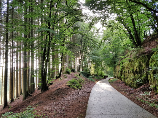
Piste cyclable de l'Attert between Steinfort and Eischen
-
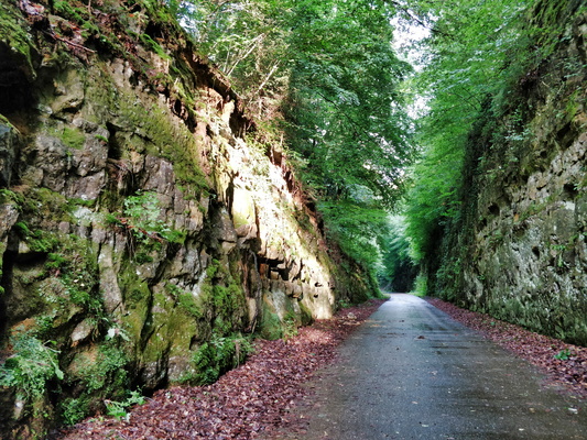
Piste cyclable de l'Attert between Steinfort and Eischen
-
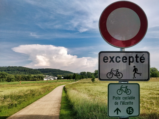
Piste cyclable de l'Alzette
-
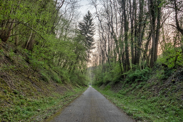
Piste cyclable d'Echternach near Echternach
-
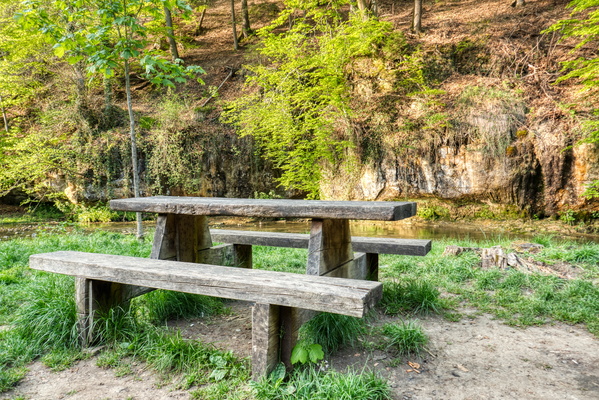
Picnic table in Drëps
-
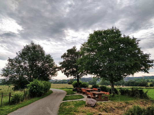
Picnic site in Cessange
-
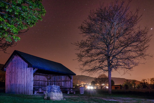
Picnic shelter and water tap near Lorentzweiler
-
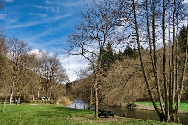
Picnic place in Ourtal
-
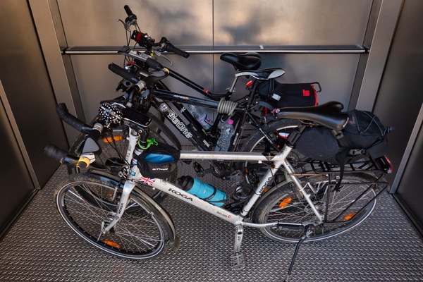
Pfaffenthal lift
-
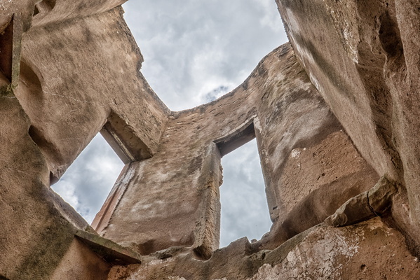
Pettingen castle
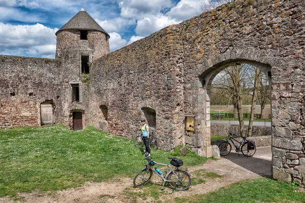
-
Pettingen castle
-
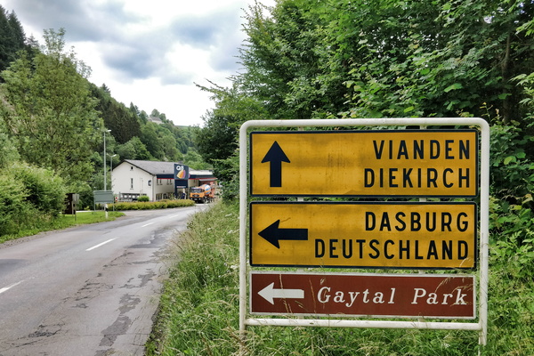
Petrol station next to the German border
-
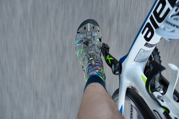
Pedalling
-
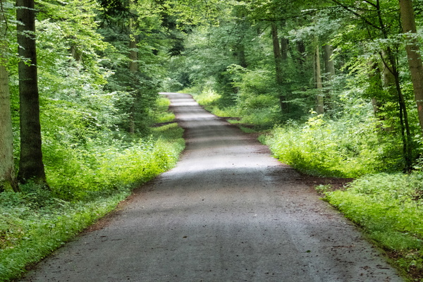
PC 9 in the forest
-
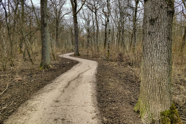
PC 6 between Esch and Ehlerange
-
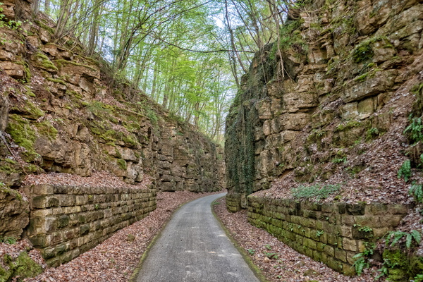
PC 2's canyon
-
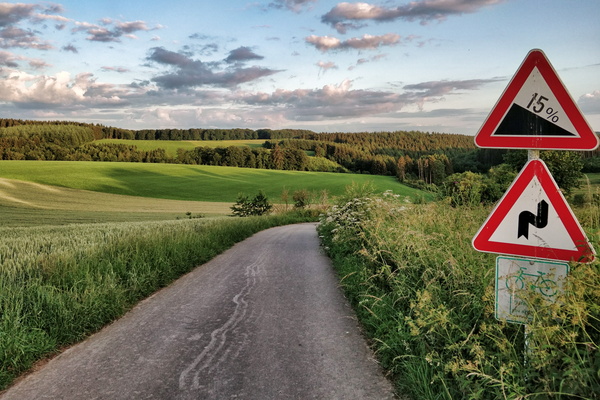
PC 18 near Flatzbour
-
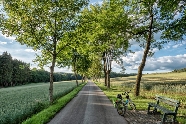
PC 17 between Redange and Rambrouch
-
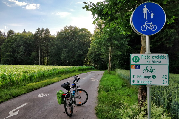
PC 17 between Rambrouch and Redange
-
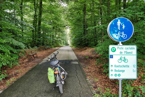
PC 17 between Niederpallen and Redange
-
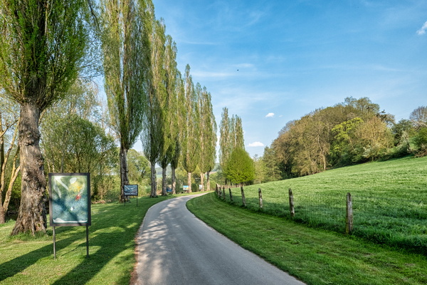
PC 16 near Ettelbruck
-
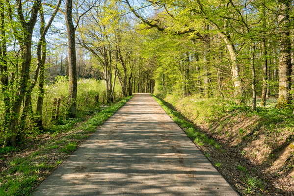
PC 14 near Olm
-
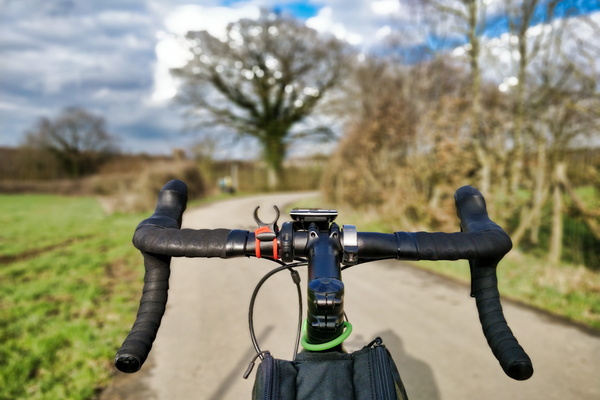
PC 14 near Kehlen
-
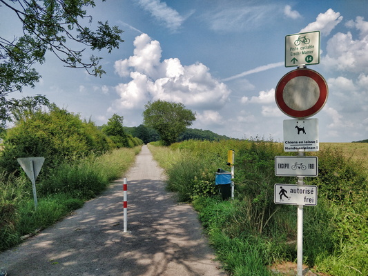
PC 14 between Olm and Olm; no kidding.
-
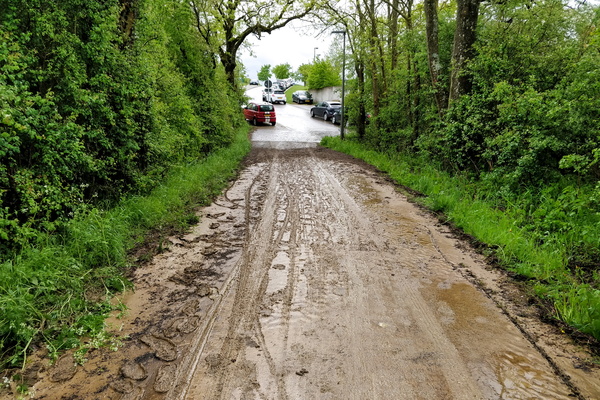
PC 13 after the storm
-
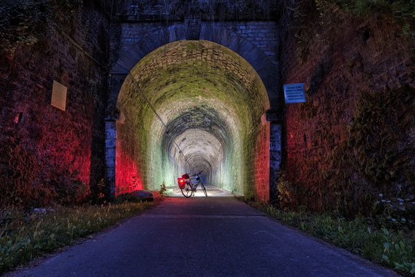
PC 12 Tunnel at night
-
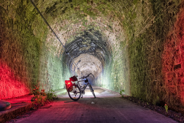
PC 12 Tunnel at night
-
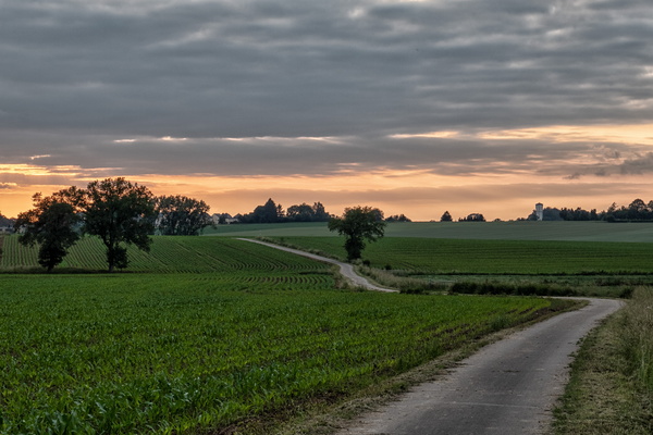
PC 12 near Kahler before sunset
-
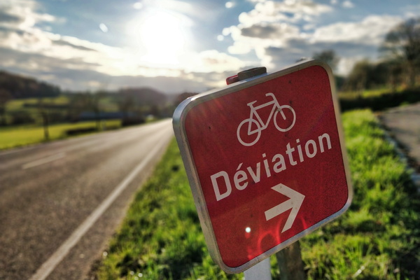
PC 12 diversion
-
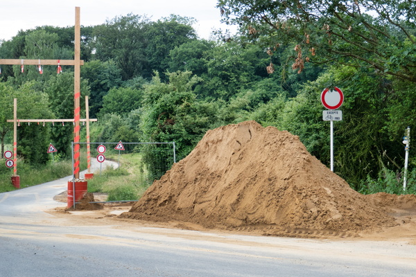
PC 10 closure
-
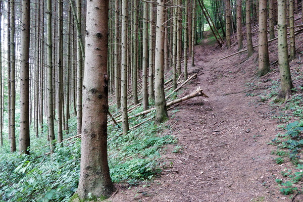
Path in the forest between Dommeldange and Kirchberg
-
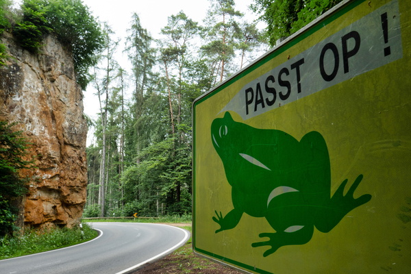
Passt op!
-
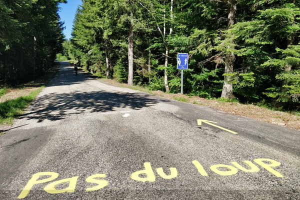
Pas du loup
-
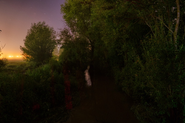
Parc Lentz on a rainy night
-
Parc Lentz on a rainy night
-
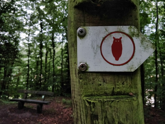
Owl hiking trail
-
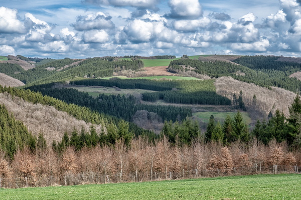
Outlook to Ourtal
-
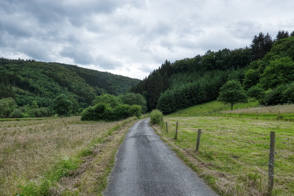
Ourtal near Trois-Frontières
-
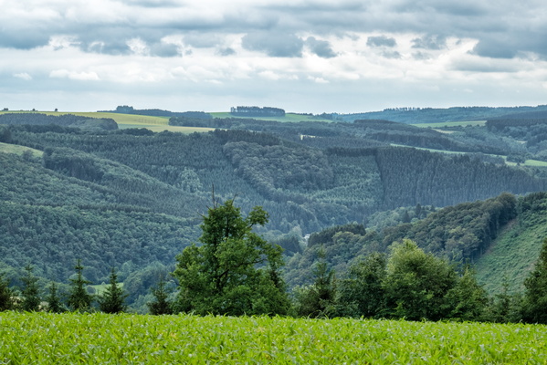
Ourtal from above
-
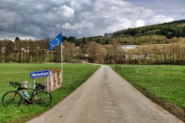
Ourtal between Oberhausen and Welchenhausen
-
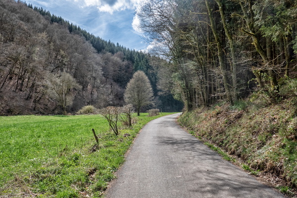
Ourtal
-
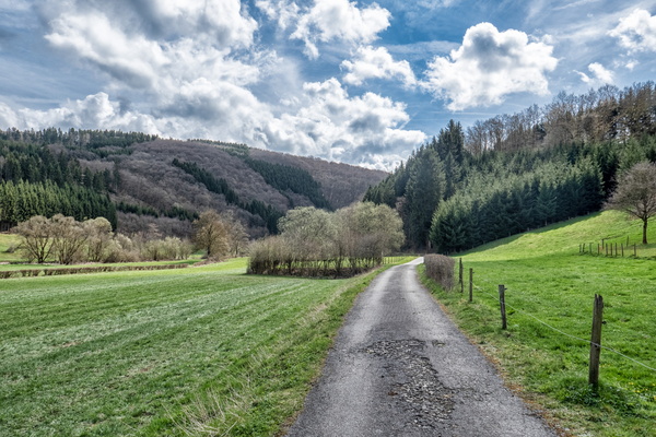
Ourtal
-
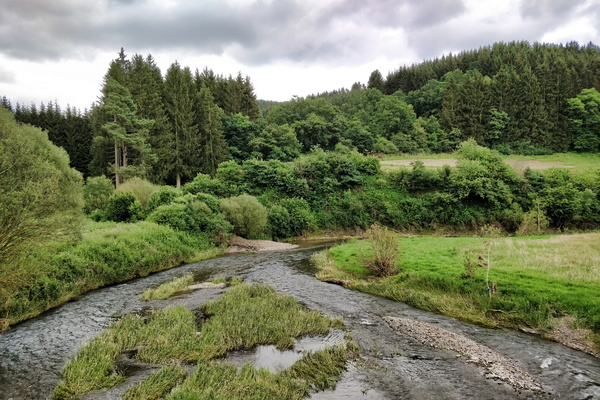
Our river in Ouren
-
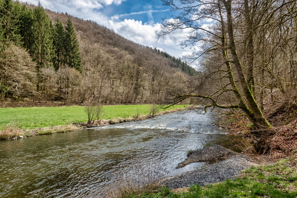
Our river
-
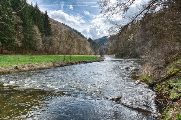
Our river
-
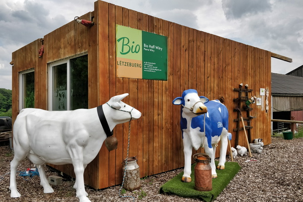
Organic farm Pierre Witry
-
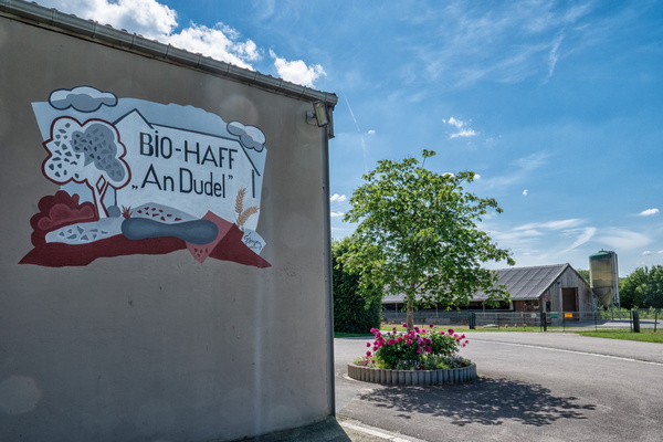
Organic farm in Schouweiler
-
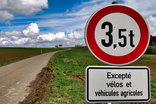
One of the privileges of riding a bike: thanks but no thanks!
-
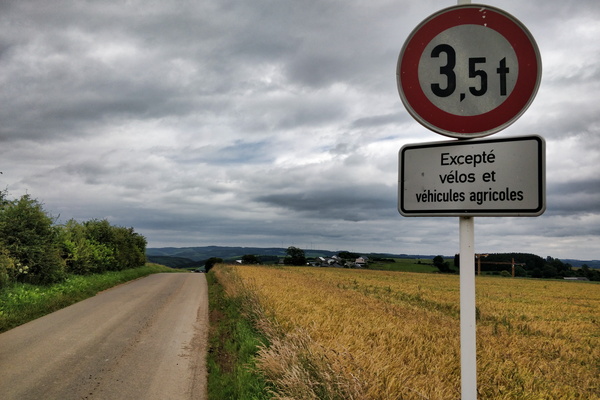
One of the privileges of riding a bike: challenge accepted
-
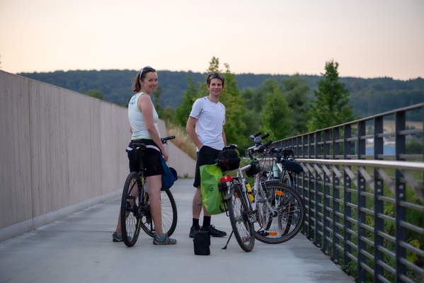
On the way to see the moonrise
-
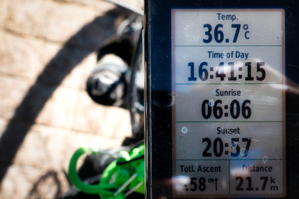
On a hot day
-
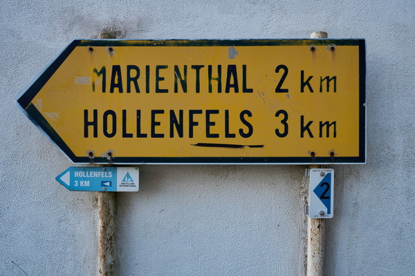
Old sign
-
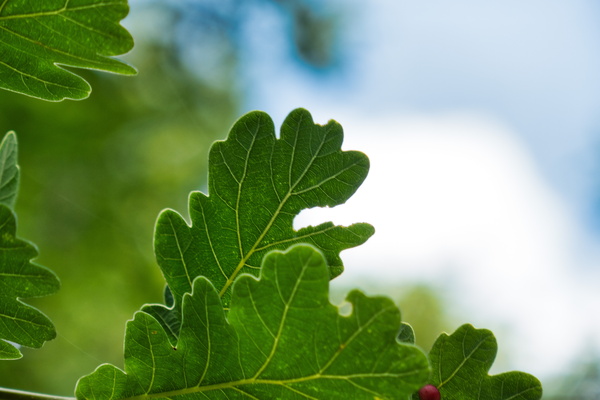
Oak leaves
-
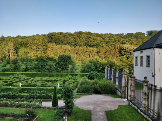
Nouveau château d'Ansembourg and its garden
-
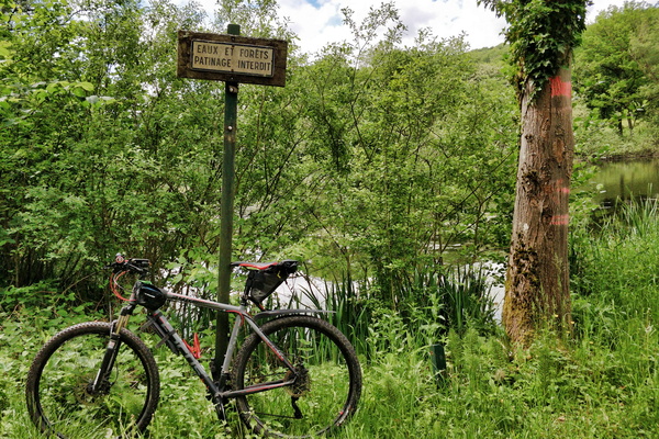
No ice skating
-
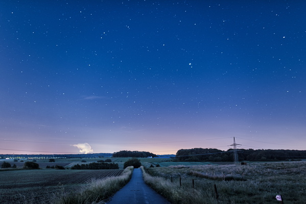
Night sky in Bertrange
-
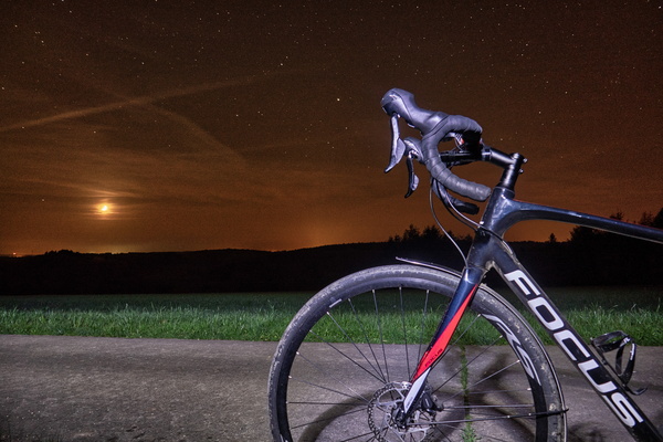
Night ride
-
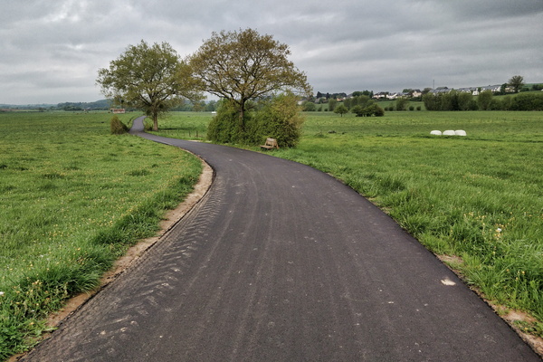
New cyccleway surface is as smooth as a pool board
-
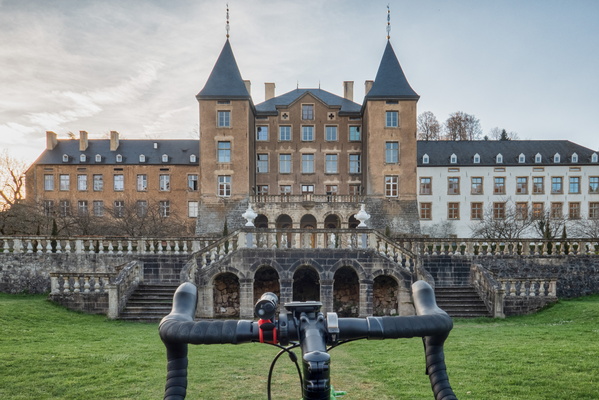
New Castle of Ansembourg
-
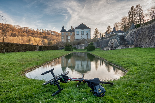
New Castle of Ansembourg
-
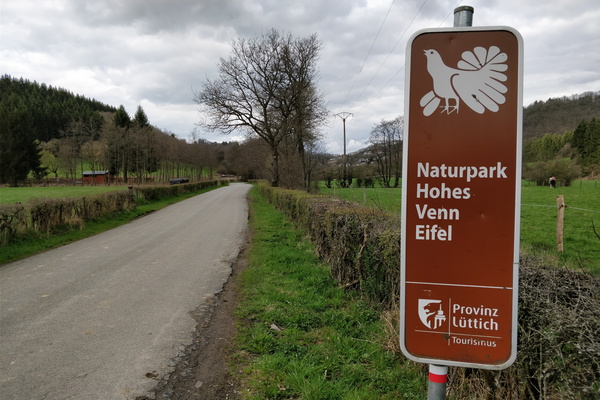
Naturpark Hohes Venn Eifel sign
-
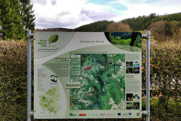
Nat'Our Route 1 trail map and information board
-
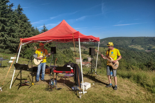
Music band near Lalouvesc
-
Music band in the village of Saint-Sernin

-
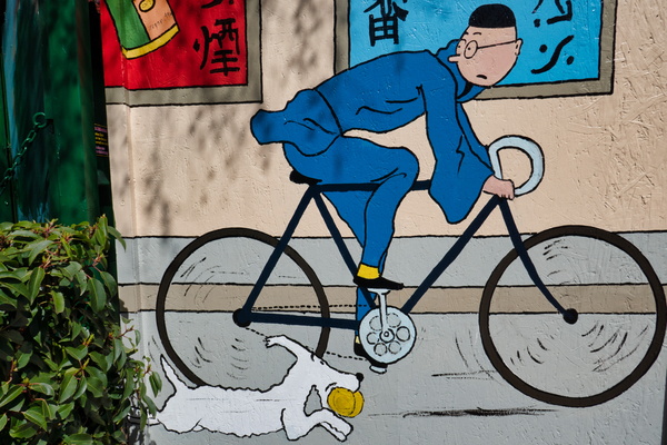
Mural on house in Walferdange, close to PC 15
-
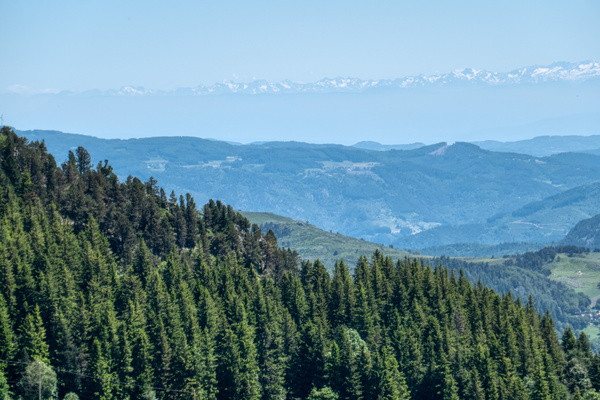
Mountain view near Borée
-
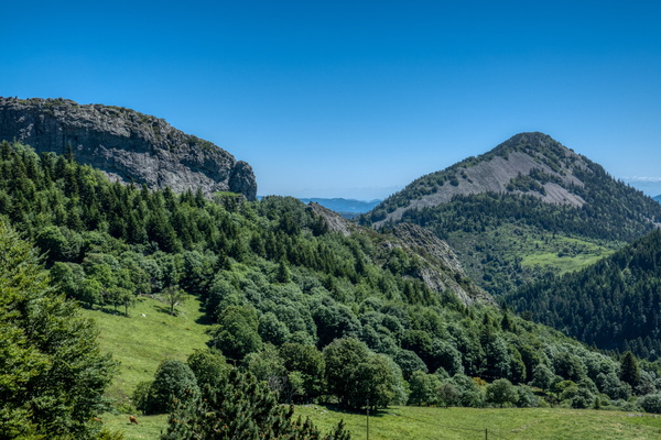
Mountain view near Borée
-
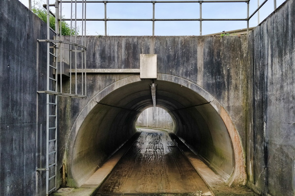
Motorway underpass near Schifflange
-
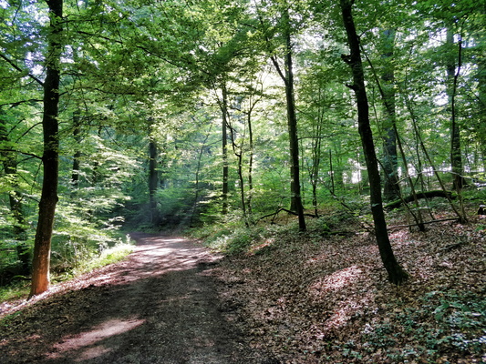
Morning ride to work in Bertrange's forest
-
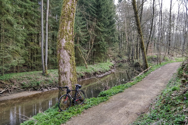
Morning commute to work in Mamerdal
-
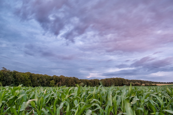
Moonrise occured behind the clouds
-
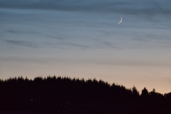
Moon
-
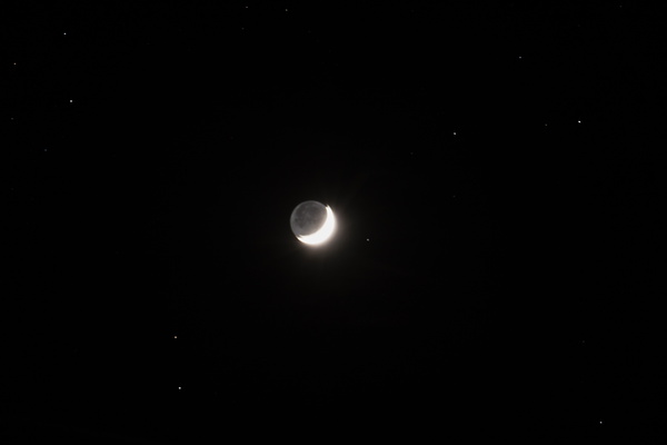
Moon
-
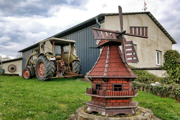
Mini mill at the farm
-
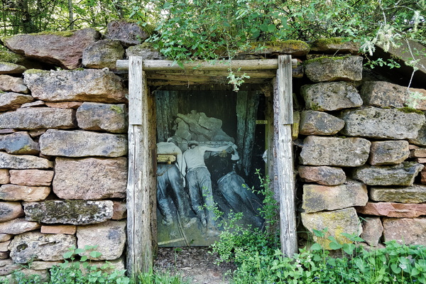
Minette
-
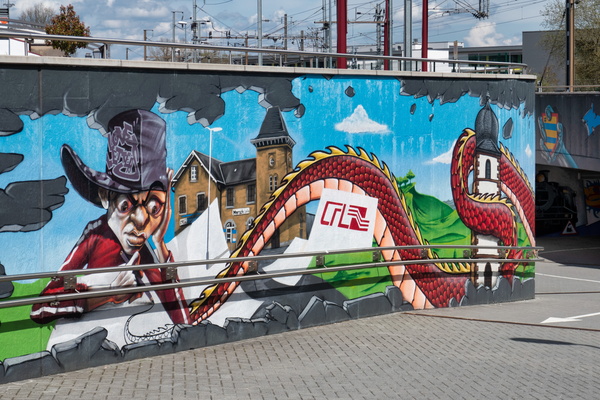
Mersch underpass on PC 15
-
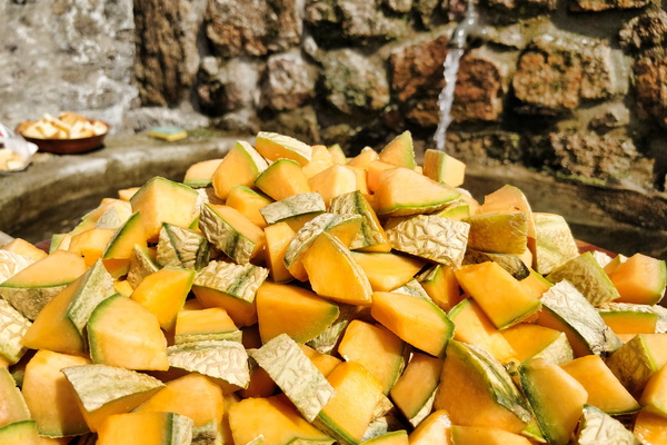
Melon cubes
-
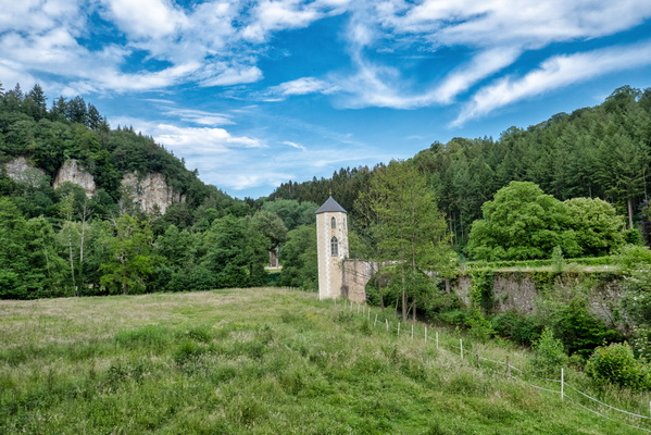
Marienthal
-
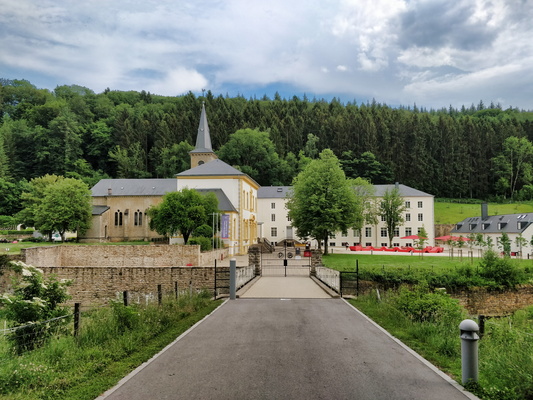
Marienthal
-
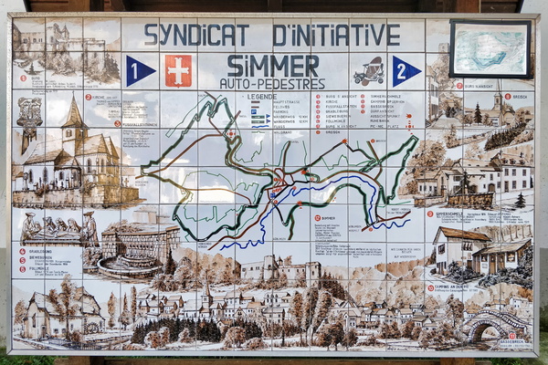
Map tiles (literally)
-
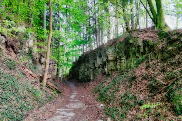
Mamerdal canyon
-
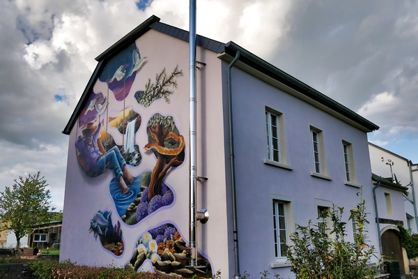
Make Koler Kooler
-
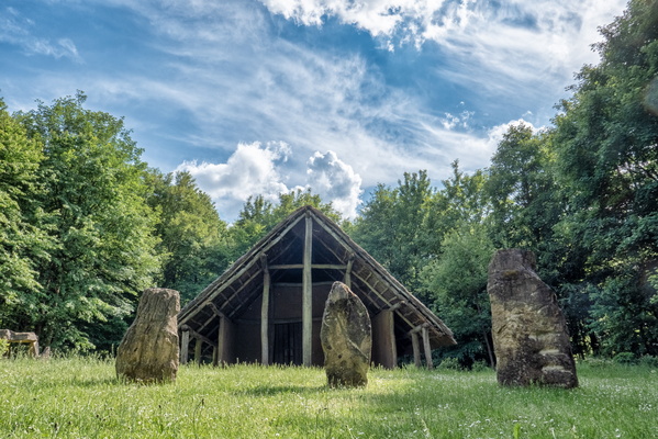
Maison Néolithique Blaschette
-
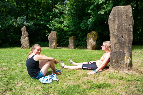
Maison Néolithique
-
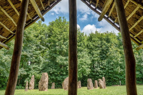
Maison Néolithique
-
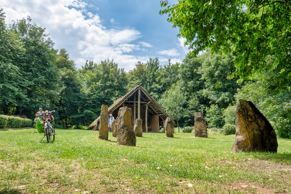
Maison Néolithique
-
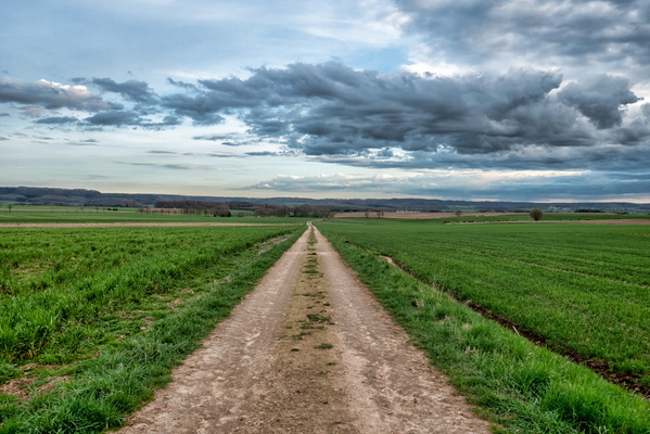
Lost on the track of Dällchen West Tour
-
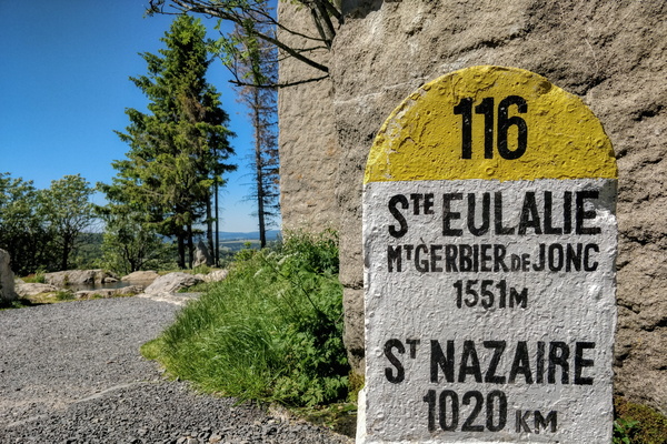
Loire river stone
-
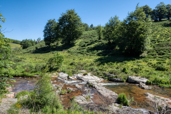
Loire river near Sainte-Eulalie
-
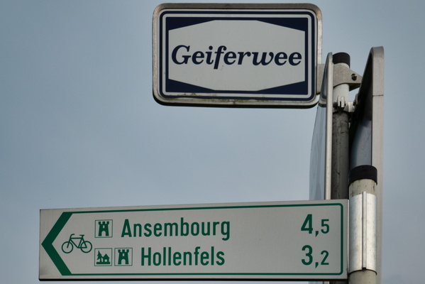
Local cycling route between Ansembourg, Hollenfels, Tuntange an
-
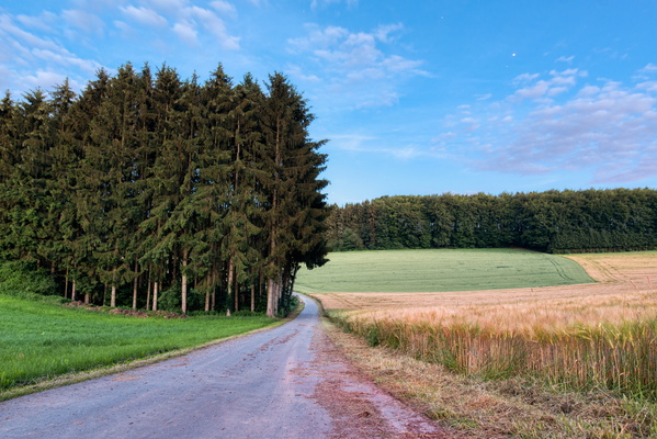
Local cycleway between Preizerdaul and Eschette
-
Light my fire, Sainte-Eulalie
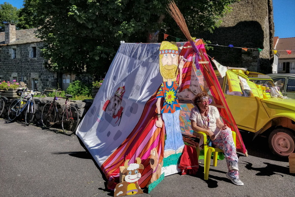
-
Let’s Make Koler Kooler
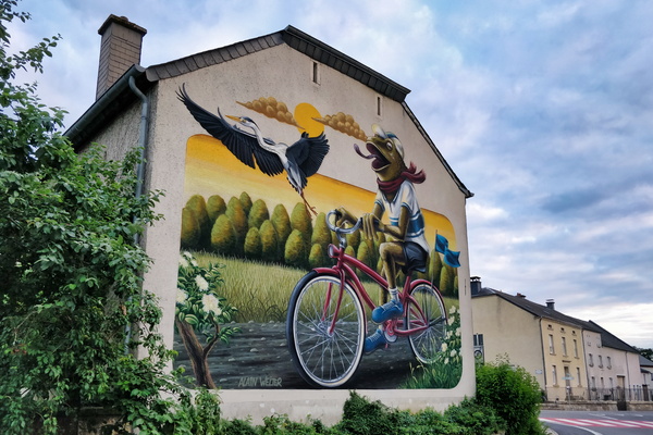
-
Letter box
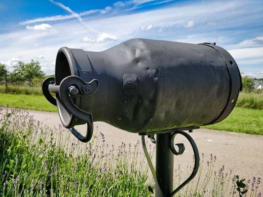
-
Let's roll!
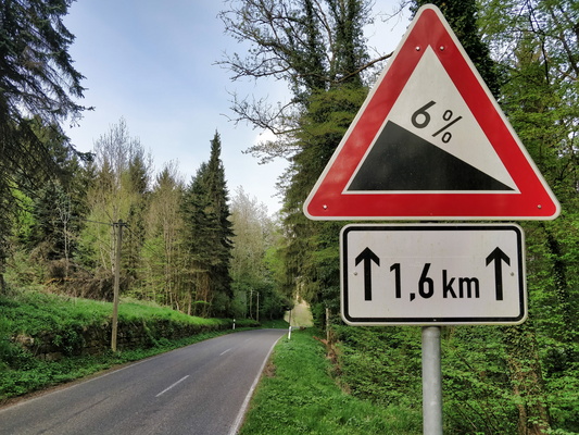
-
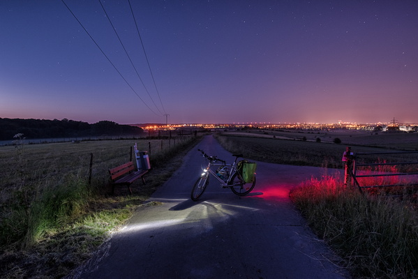
Leaving the city behind
-
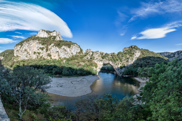
Le Pont d'Arc
-
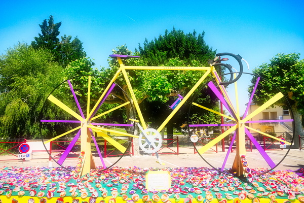
Le plus grand vélo de l'Ardéchoise entièrement en bois
-
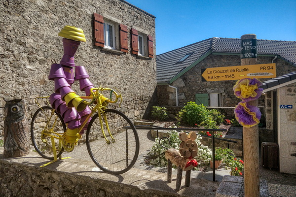
Le Mas-de-Tence
-
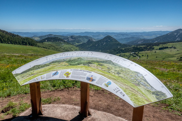
Le cirque des Boutières
-
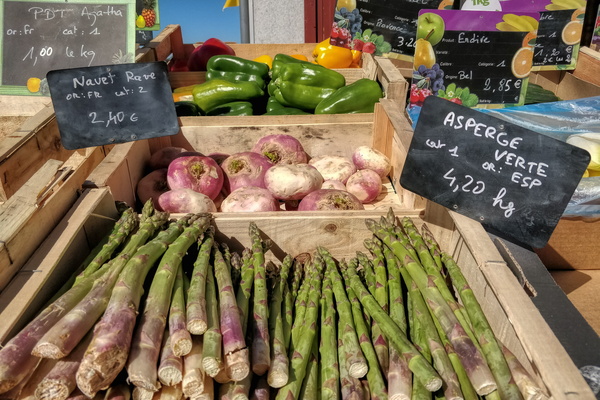
Le Béage's market
-
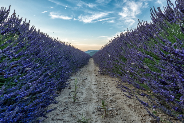
Lavender field near Valvignères
-
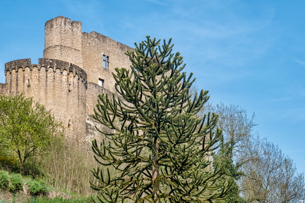
Larochette castle
-
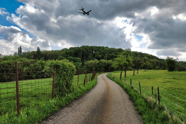
Landing time
-
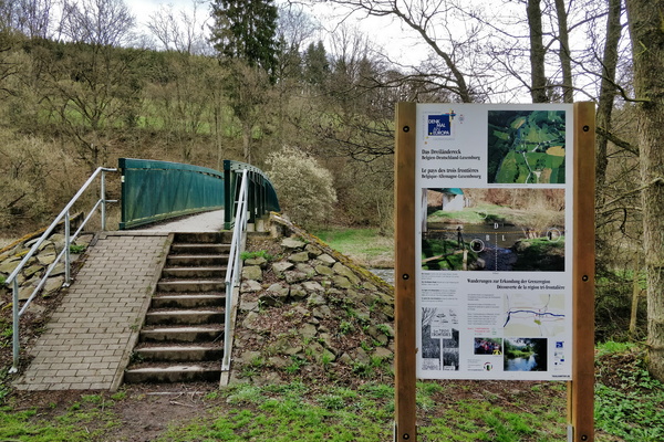
Land of the three borders
-
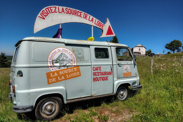
La source de la Loire
-
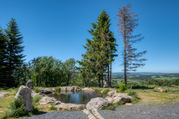
La Loire source
-
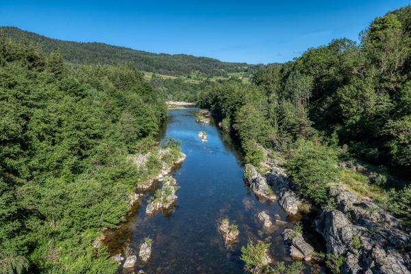
La Loire river near Le Lac-d'Issarlès
-
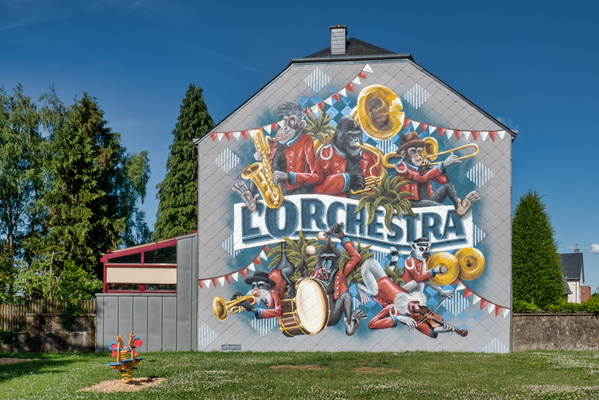
L'Orchestra by Make Koler Kooler
-
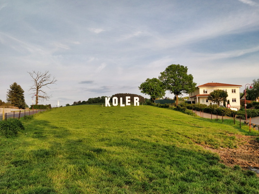
Koler
-
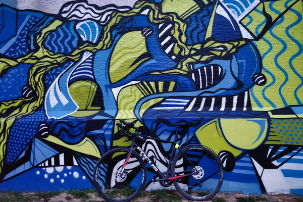
Kleinbettingen water tower mural
-
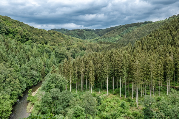
Kasselslay Viewpoint
-
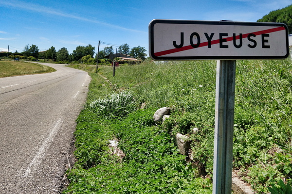
Joyeuse exit
-
Jardins à suivre cycling route logo
-
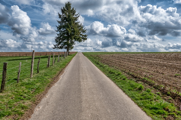
Jardins à suivre cycling between Troisvierges and Binsfeld
-
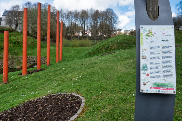
Jardin à suivre
-
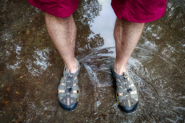
It's easier to play in the water when already wet
-
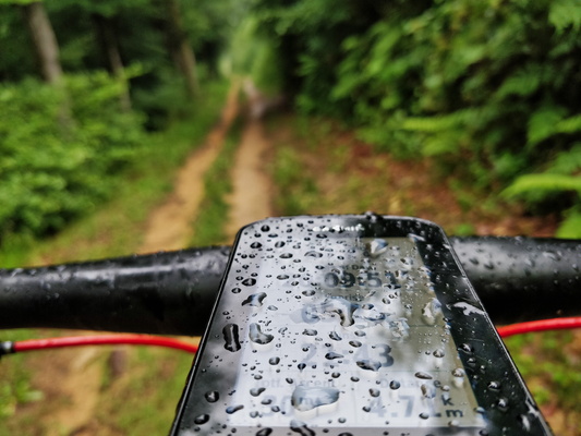
It's a rainy day
-
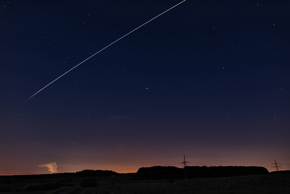
ISS passover
-
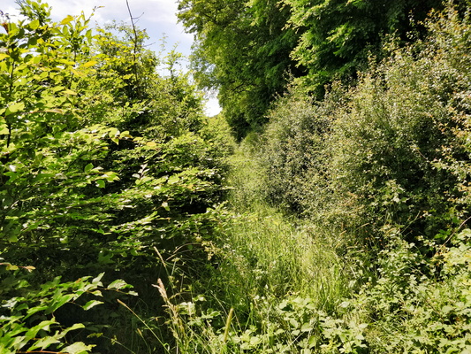
Invisible track
-
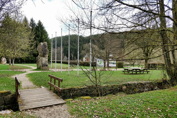
International border in Europa Monument
-
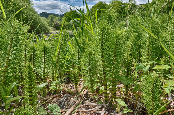
Interesting plant near the pond
-
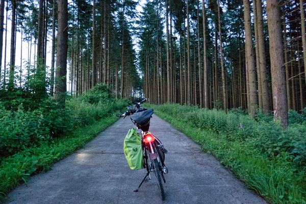
In the woods between Martelange and Perlé
-
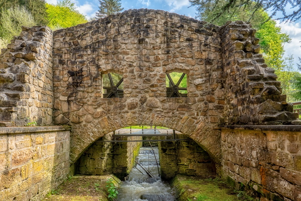
I see faces
-
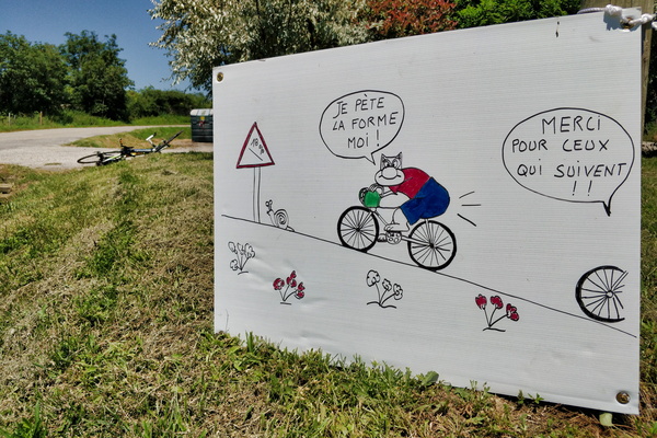
Humour...
-
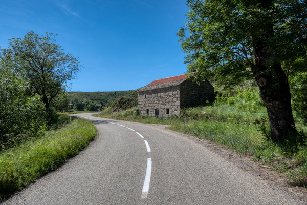
House near Montselgues
-
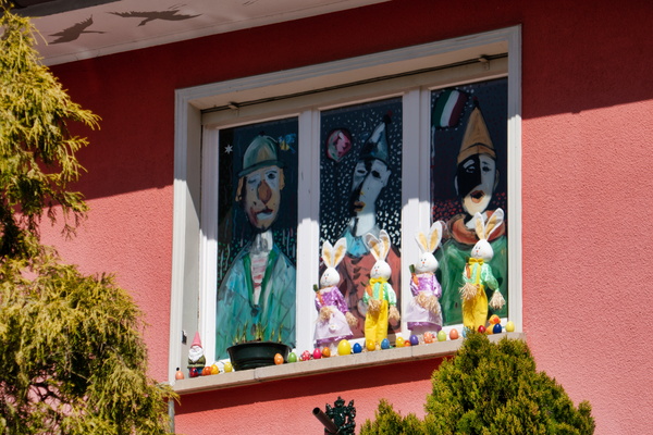
House in Walferdange
-
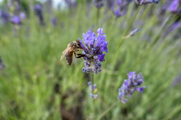
Honey bee on lavender
-
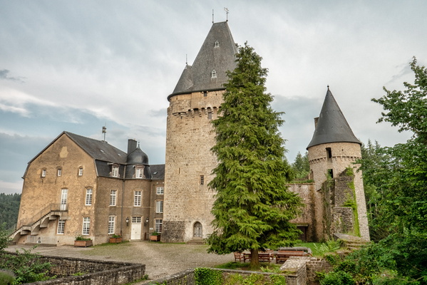
Holenfels castle
-
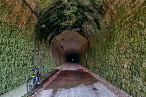
Hobscheid tunnel
-
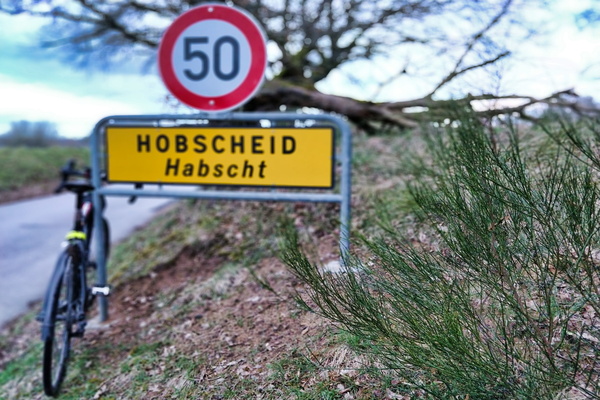
Hobscheid sign
-
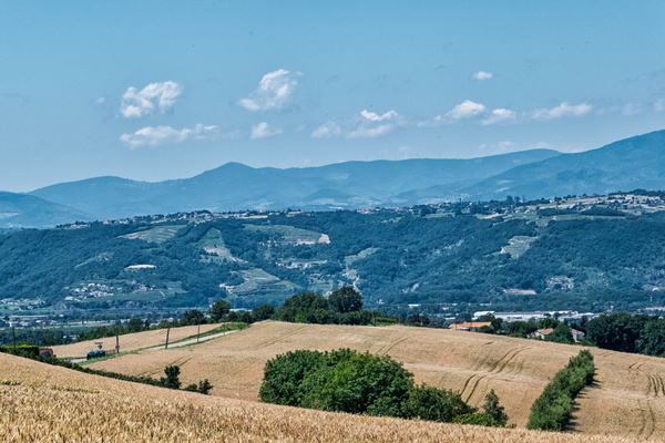
Hills and mountains, Ardéchoise 2018 in Albon
-
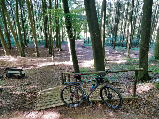
Hiking trail near Clemency
-
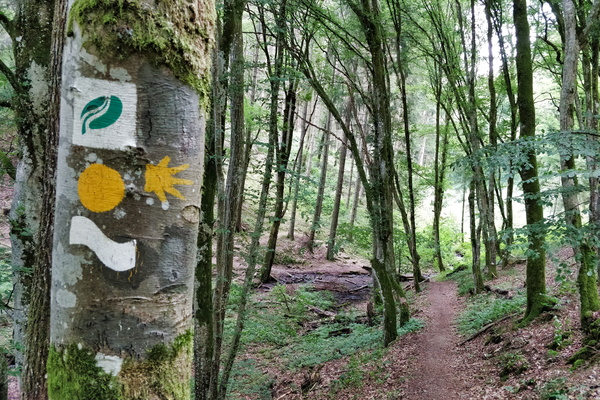
Hiking trail in Ourtal near Moulin de Kalborn
-
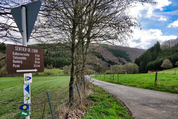
Hiking or MTB in Ourtal
-
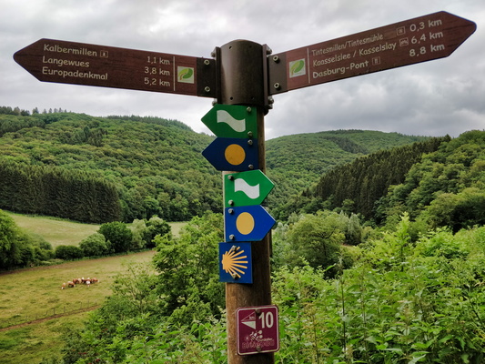
Hiking directions near Tintesmillen
-
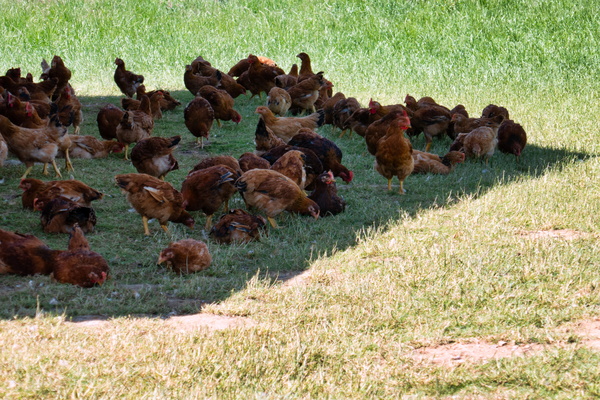
Henses in the shade
-
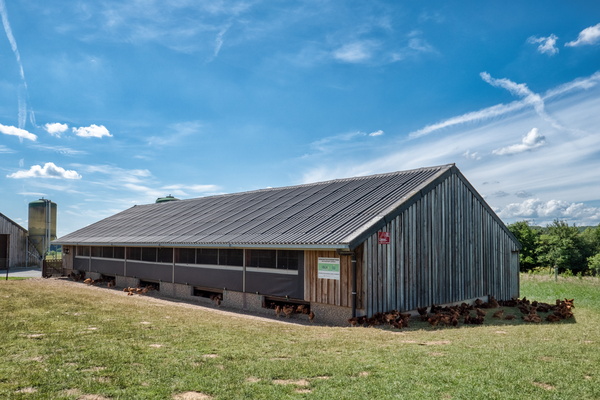
Hens house
-
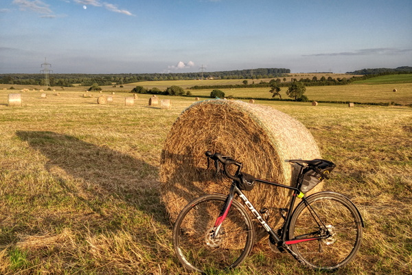
Haystack near Bertrange at golden hour
-
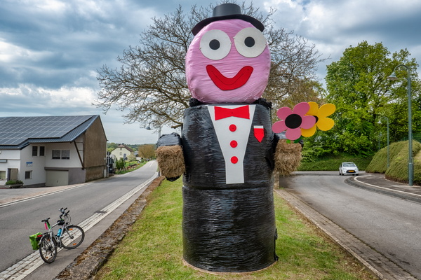
Haystack man
-
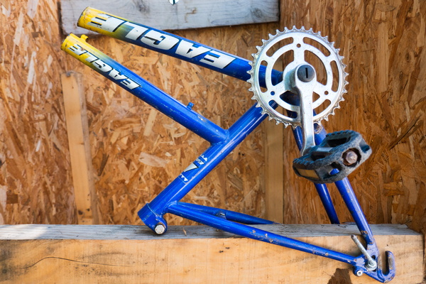
Half-a-bike in Saint-Maurice-d'Ardèche
-
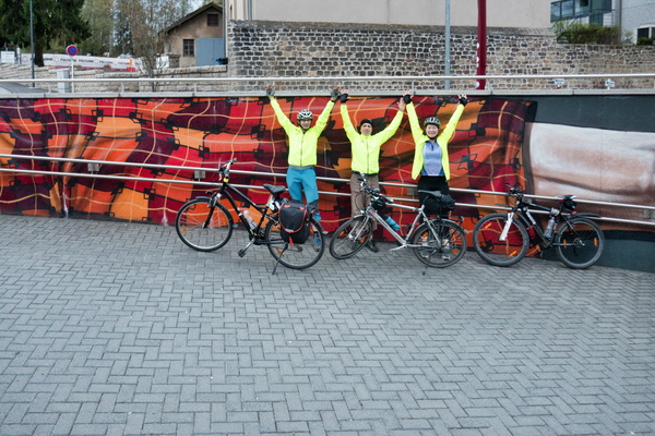
Group picture
-
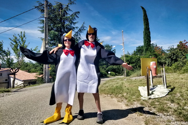
Greetings in Rochecolombe
-
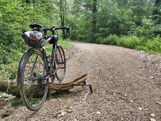
Graveling to work
-
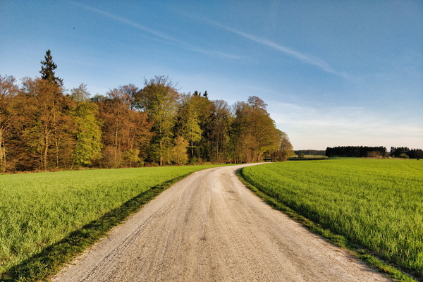
Gravel track on the plateau near Bridel
-
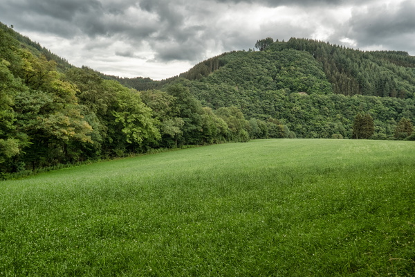
Grasslands in Ourtal near Parc Hosingen
-
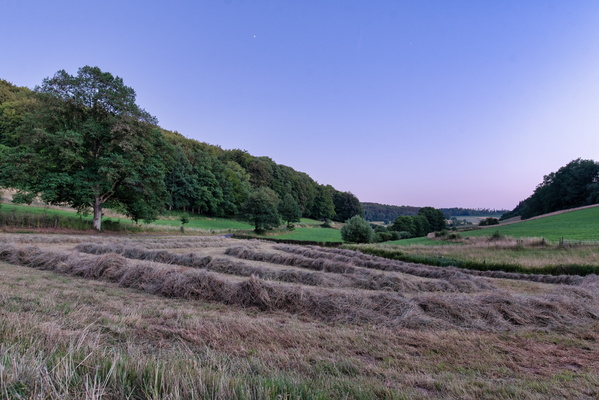
Grass harvesting
-
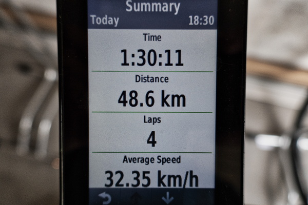
GPS statistics after a fast ride back from work
-
GPS reward after a fast ride back from work

-
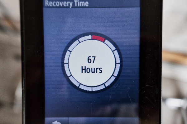
GPS recovery advisor after a fast ride back from work
-
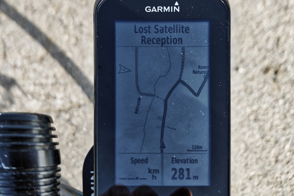
GPS lost signal in the middle of the way
-
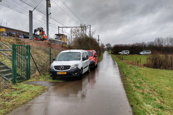
Good parking!
-
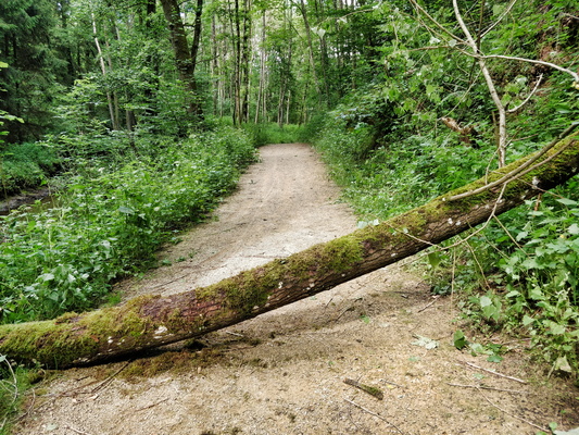
Get out of my way!
-
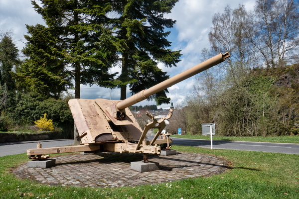
German canon wreck Troisvierges
-
Geometry of (power) lines
-
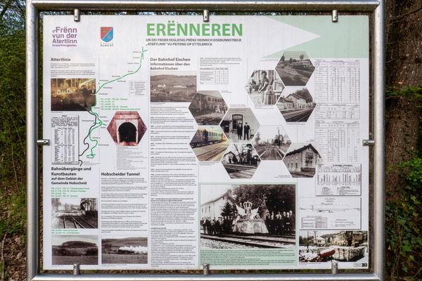
Friends of Attert line information board
-
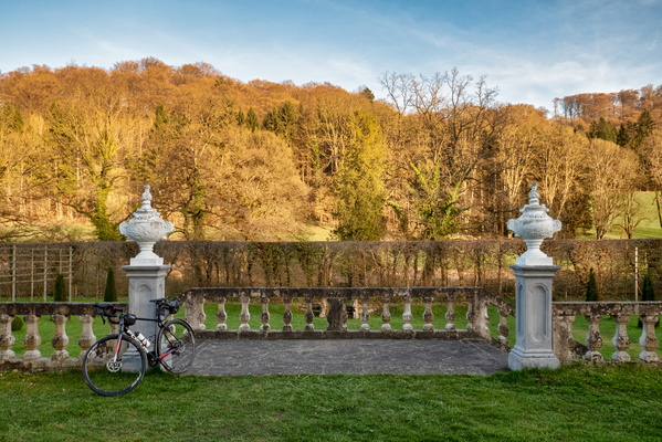
French gardens at New Castle of Ansembourg
-
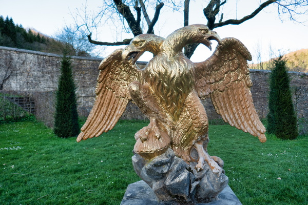
French gardens at New Castle of Ansembourg
-
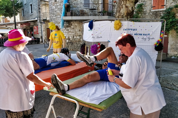
Free massage in Ruoms
-
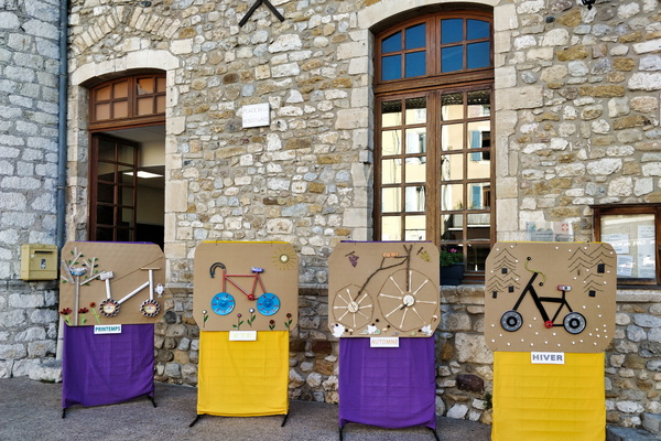
Four-seasons cycling in Vallon-Pont-d'Arc
-
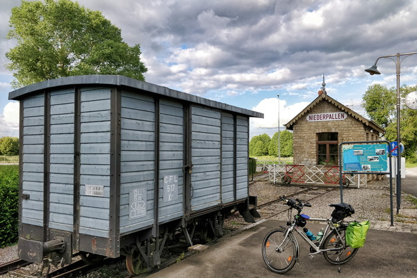
Former train station in Niederpallen
-
Forgotten item
-
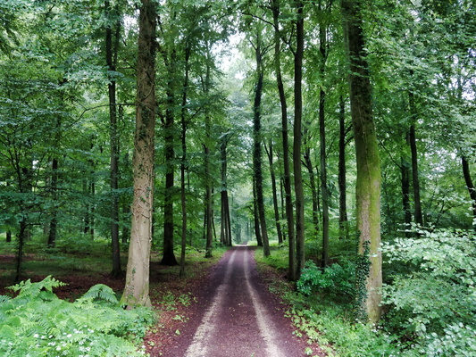
Forest track between Strassen and Bridel
-
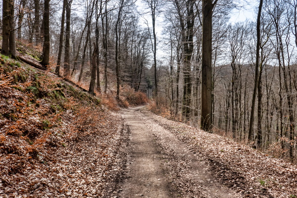
Forest track between Bridel and Mamerdal
-
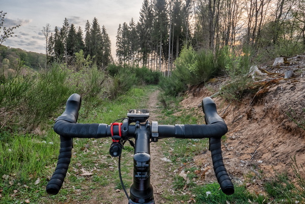
Forest near Eischen
-
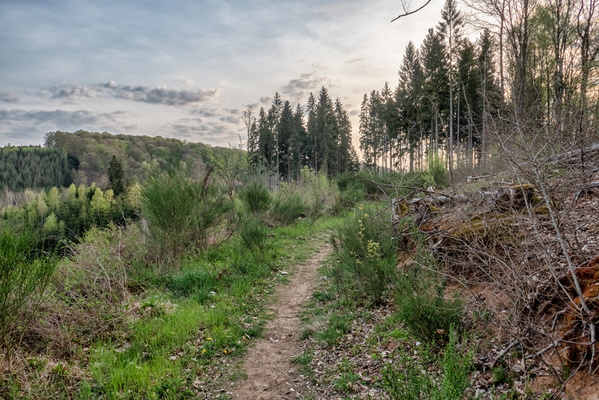
Forest near Eischen
-
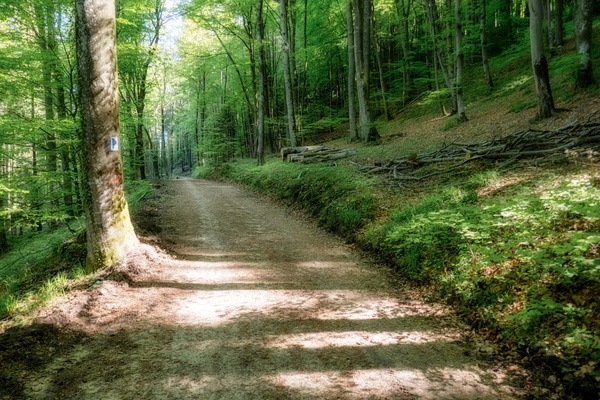
Forest in Mamerdal
-
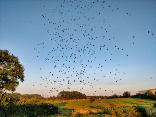
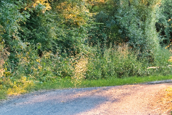
Flying ants
-
Flying ants
-
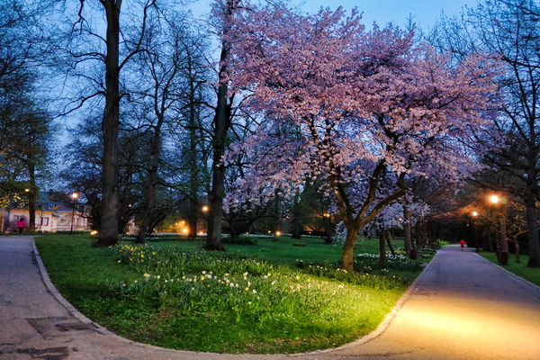
Flowers and tree in flowers in city park
-
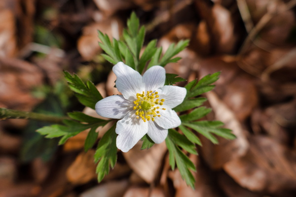
flower
-
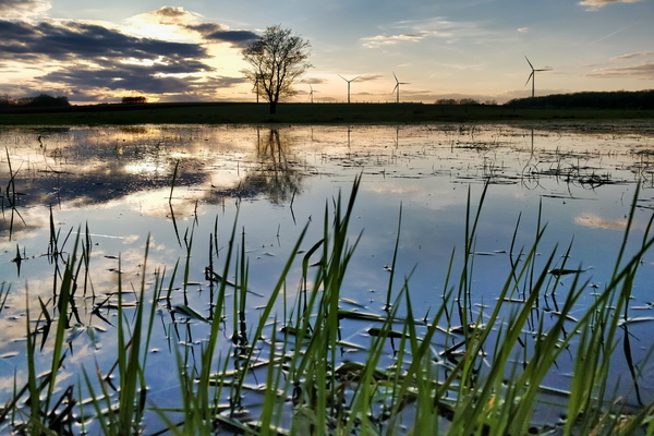
Flooded fields next PC 12 between Grass and Clemency
-
First morning of MVOS 2018
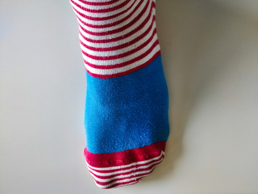
-
First morning of MVOS 2018
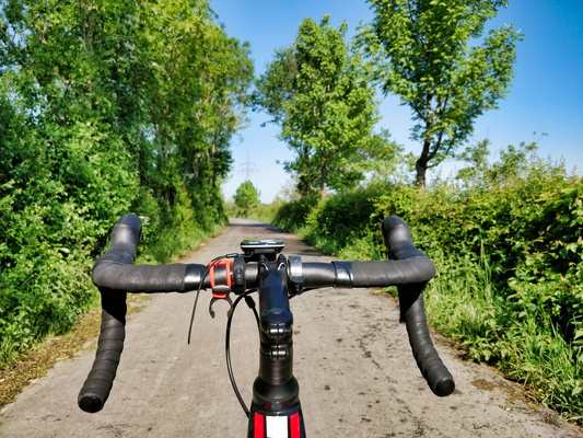
-
First collapsed tree during MVOS 2018
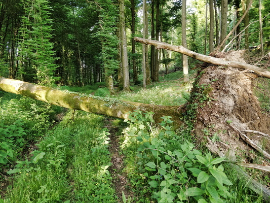
-
Field near Hivange
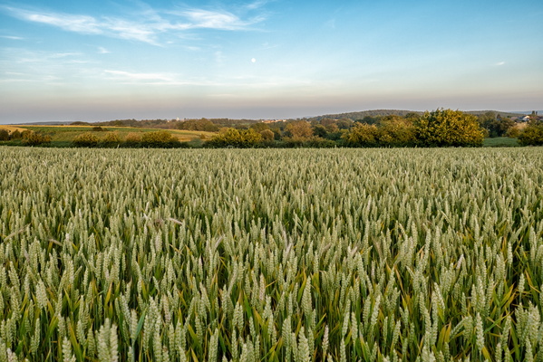
-
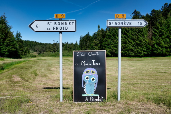
Farewell, Mas de Tence
-
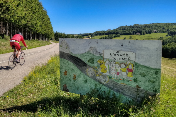
Exiting Sainte-Eulalie
-
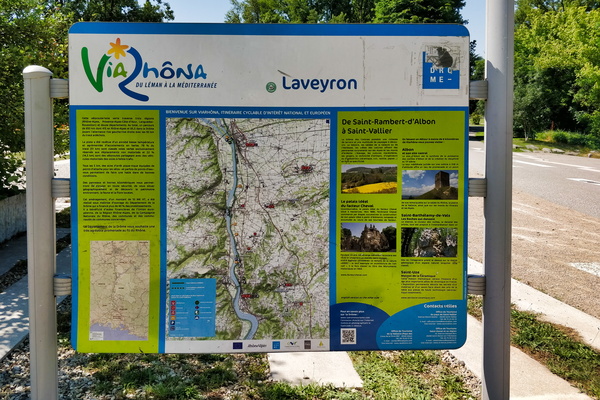
EuroVelo 17 information board
-
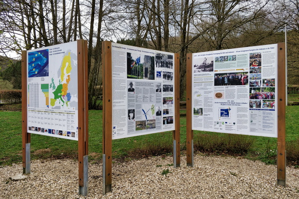
Europa Monument information board
-
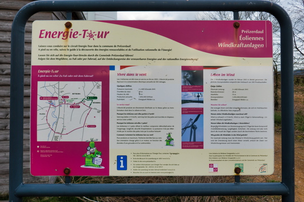
Energie Tour Préizerdaul
-
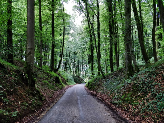
Enchanted forest between Septfontaines and Schweich
-
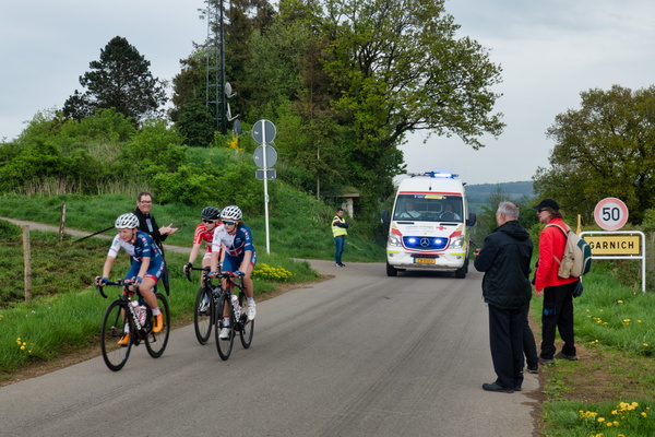
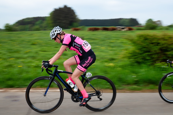
Elsy Jacobs race
-
Elsy Jacobs race
-
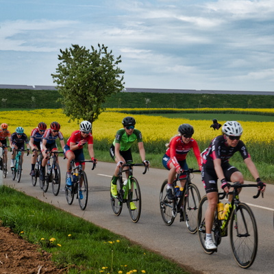
Elsy Jacobs race
-
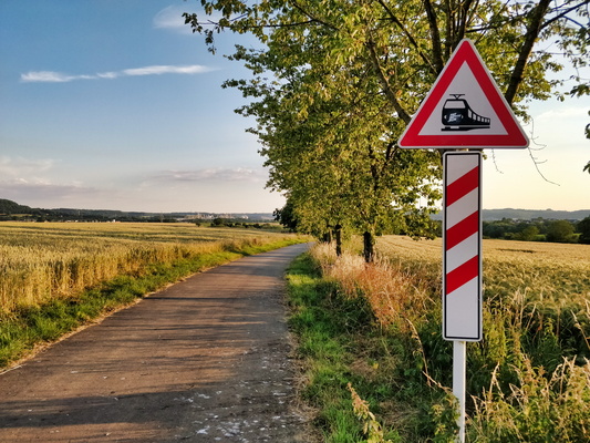
Electric train sign
-
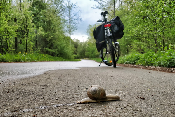
Easy going to work
-
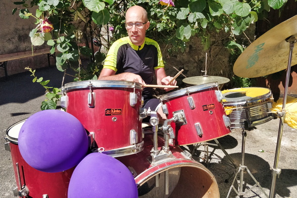
Drummer (and cyclist) in Saint-Sernin
-
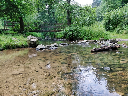
Drëps picnic place
-
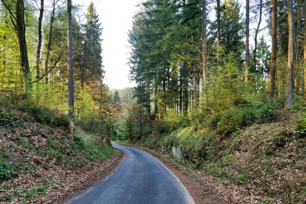
Down to Hünsdorf
-
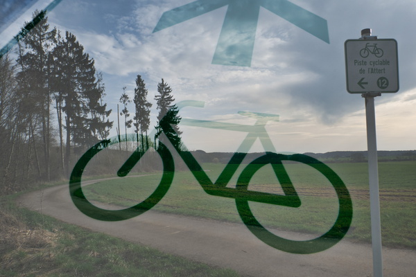
Double exposure on cycleway
-
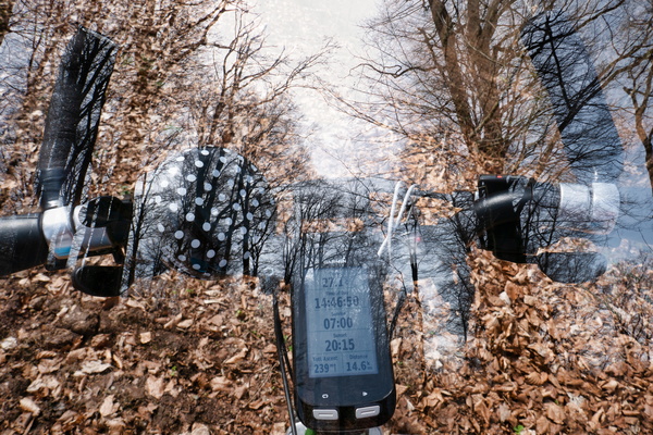
Double exposure in the forest
-
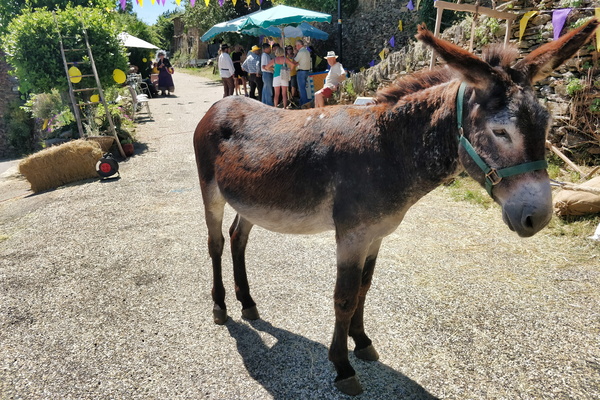
Donkey in Saint-Pierre-Saint-Jean
-
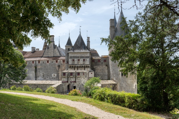
Domaine du château de La Rochepot
-
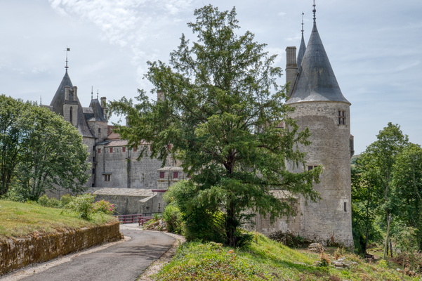
Domaine du château de La Rochepot
-
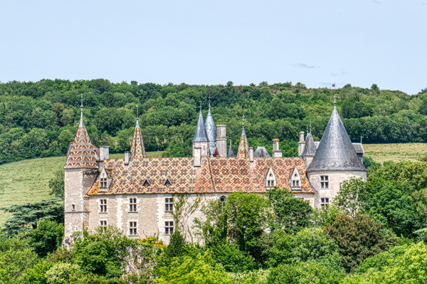
Domaine du château de La Rochepot
-
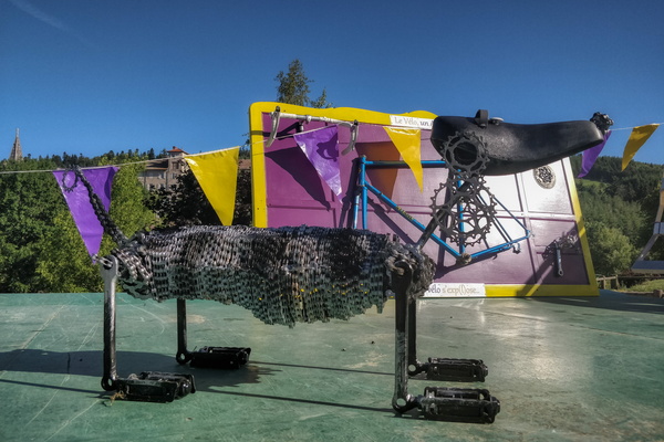
Dog statue made with bicycle parts in Lalouvesc
-
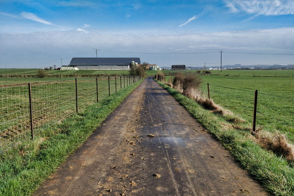
Dirty way
-
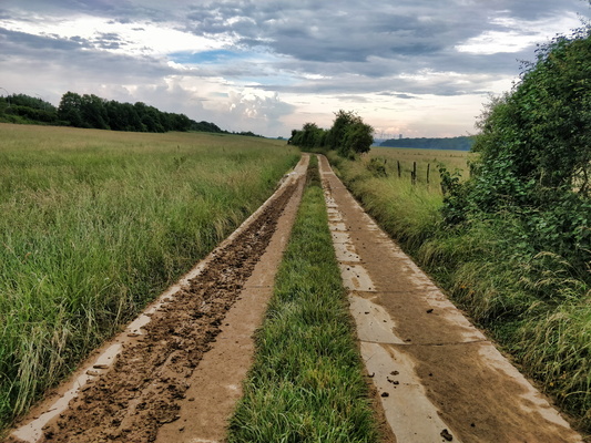
Dirty track
-
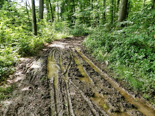
Dirty track
-
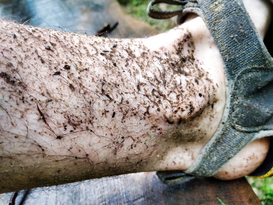
Dirty feet
-
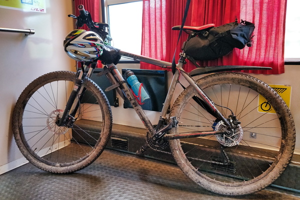
Dirty bike after the ride along Ourtal from North to South
-
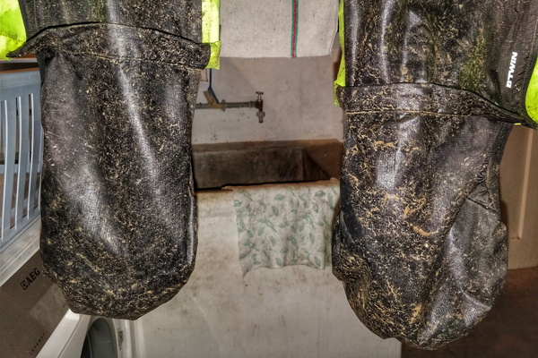
Dirt after the rain
-
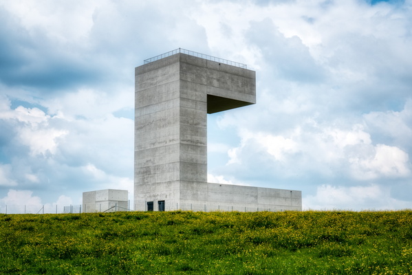
Dippach water tower
-
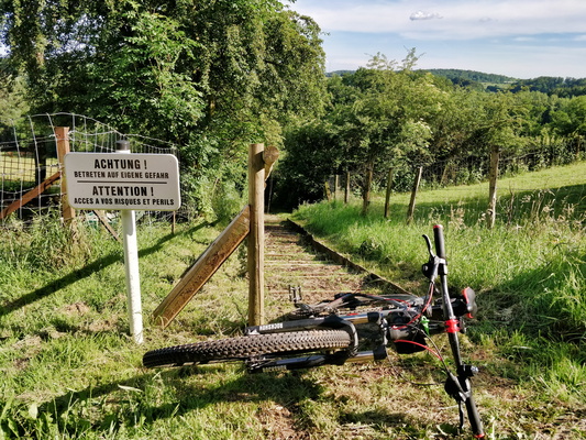
Danger
-
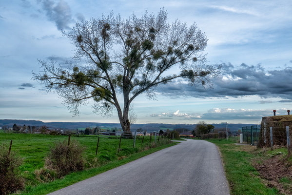
Dällchen West Tour near Schandel
-
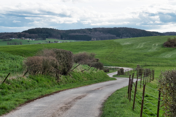
Cycling track between Dällchen West Tour and Jhangeli West Tour
-
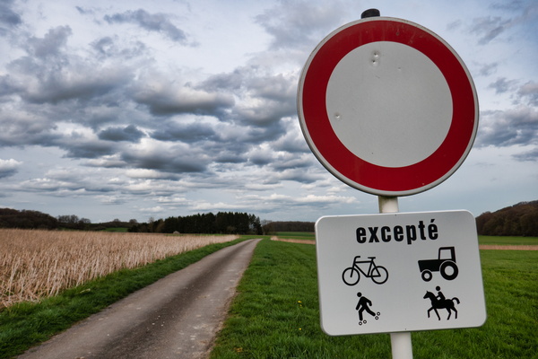
Cycling track between Dällchen West Tour and Jhangeli West Tour
-
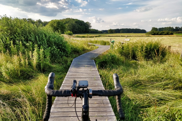
Cycling on wood near Windhof
-
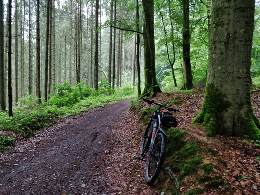
Cycling in the forest
-
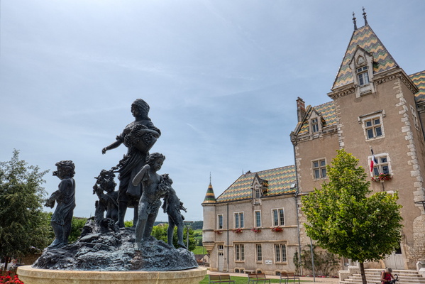
Cycling in Burgundy
-
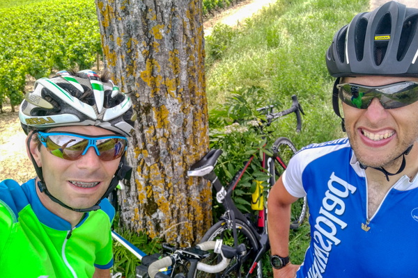
Cycling in Burgundy
-
Cycling in Burgundy
