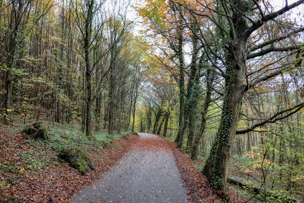
-
Sunset on the Moselle river
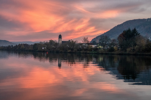
-
The Moselle river at sunset
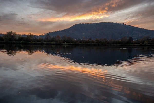
-
Golden hill
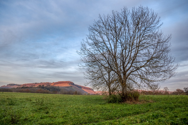
-
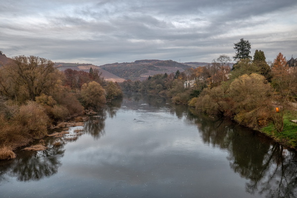
The Saar river near Kanzem
-
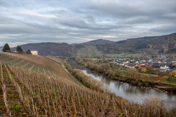
Vineyards near Ayl
-
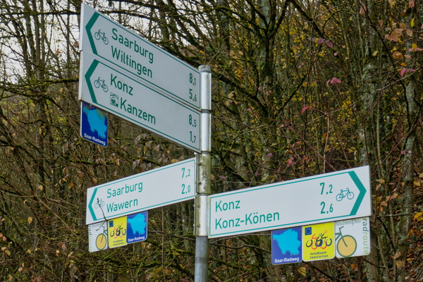
Konz or Saarburg?
-
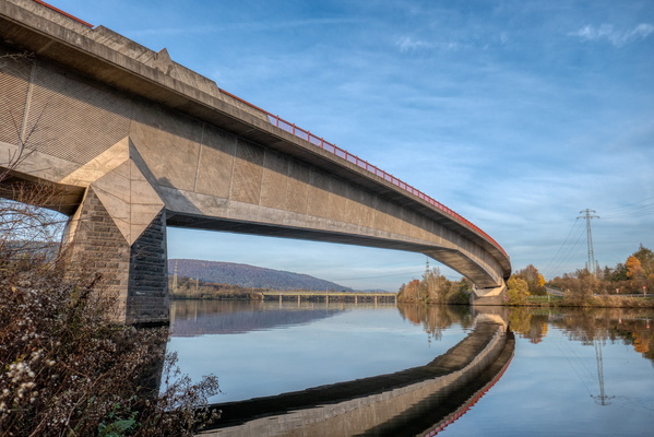
Bridges over the Saar/Moselle confluence
-
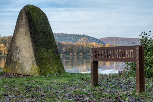
Saarmündung
-
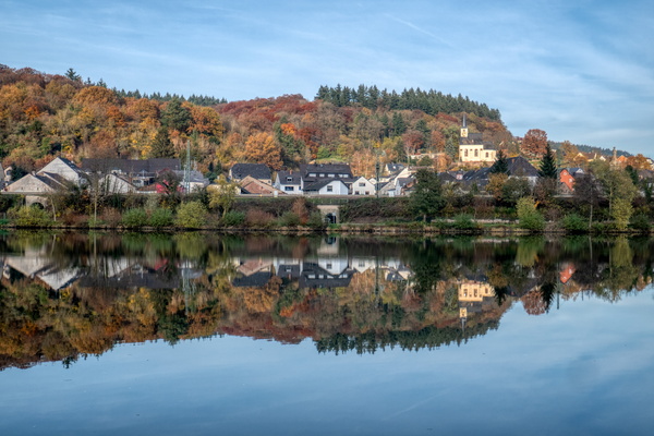
The village of Igel
-
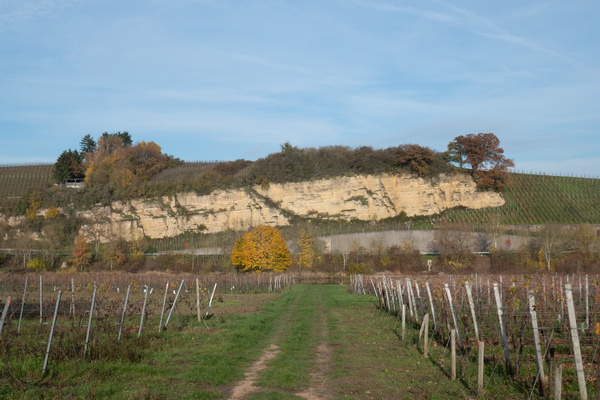
Vineyards
-
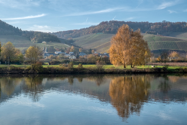
Reflections on the Moselle river
-
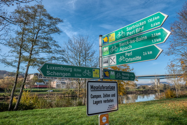
Cycling directions in Perl
-
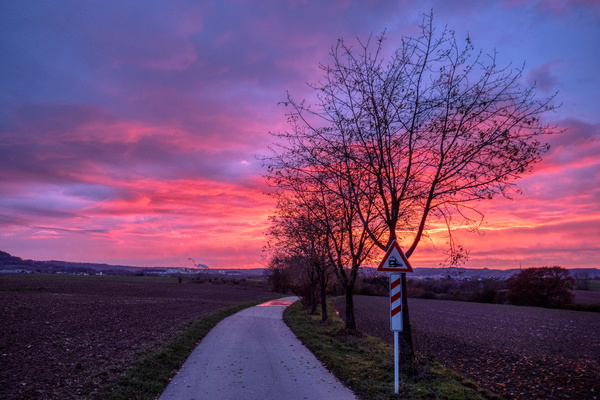
Just after sunset near Sanem
-
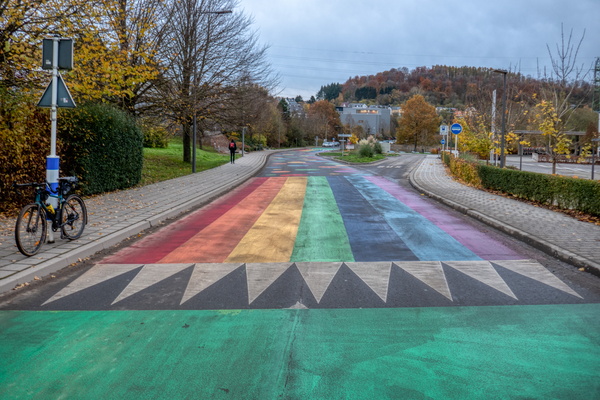
Coloured street near school in Soleuvre
-
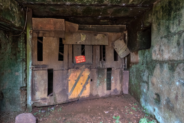
Mine Prince Henri
-
Mine Prince Henri
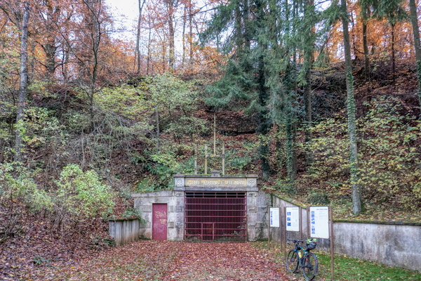
-
Ellergronn
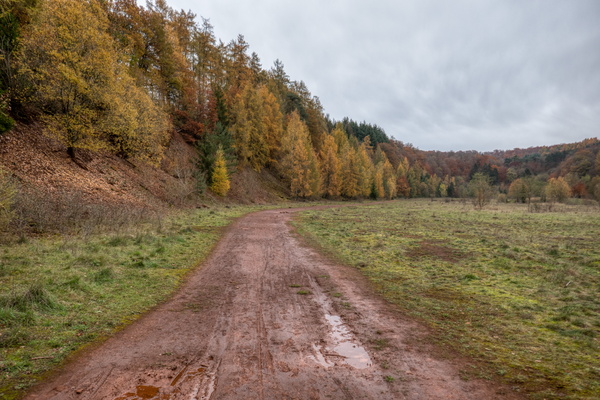
-
PC 8 near Esch/Alzette
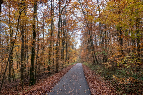
-
Esch
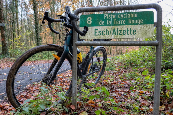
-
Land of the Red Rocks
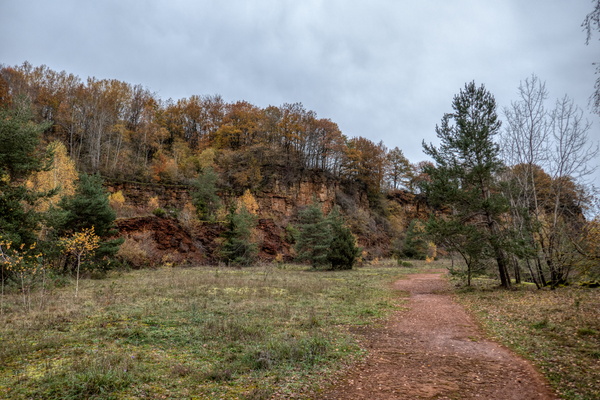
-
Land of the Red Rocks
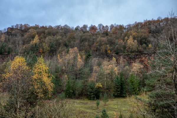
-
Land of the Red Rocks
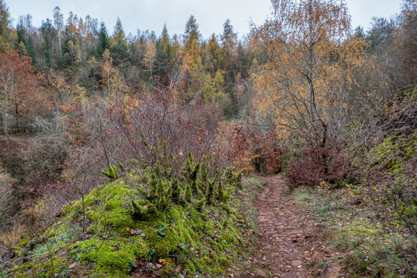
-
Protected nature area
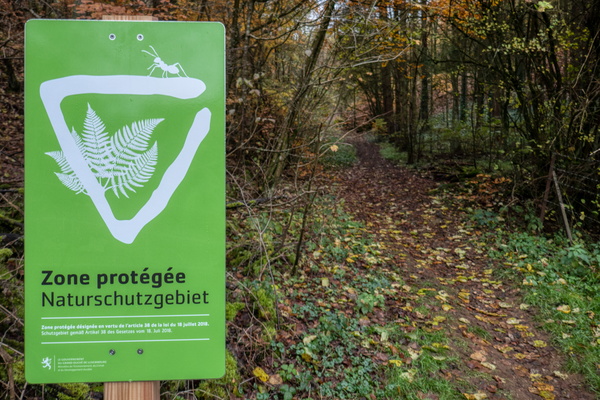
-
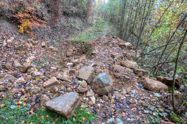
Damaged track
-
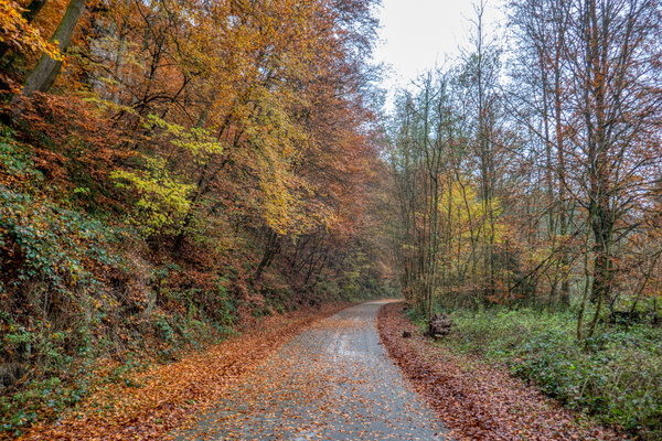
Alzette valley to Hesperange
-
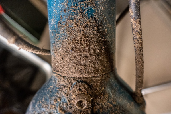
Bike needs another cleaning
-
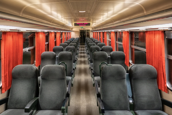
An empty carriage
-
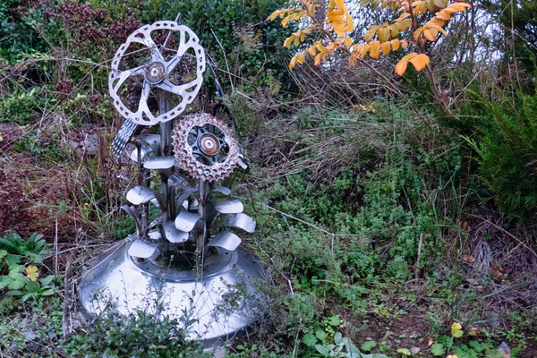
Bike flower
-
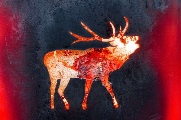
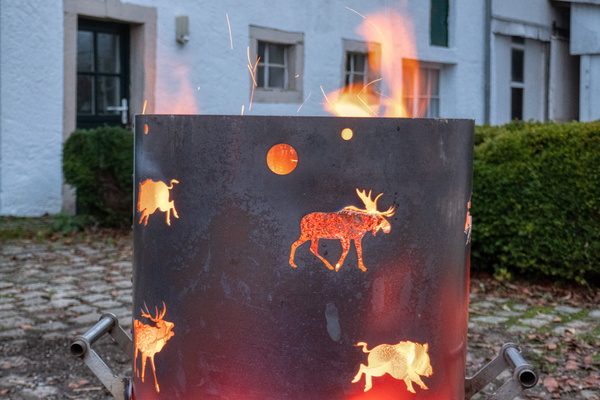
Warm welcome in the village of Brattert
-
Warm welcome in the village of Brattert
-
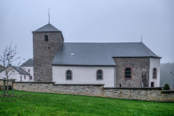
Rindschleiden church
-
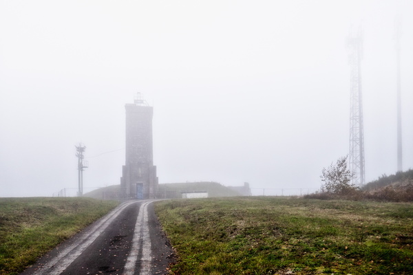
Utilities infrastructure in the fog
-
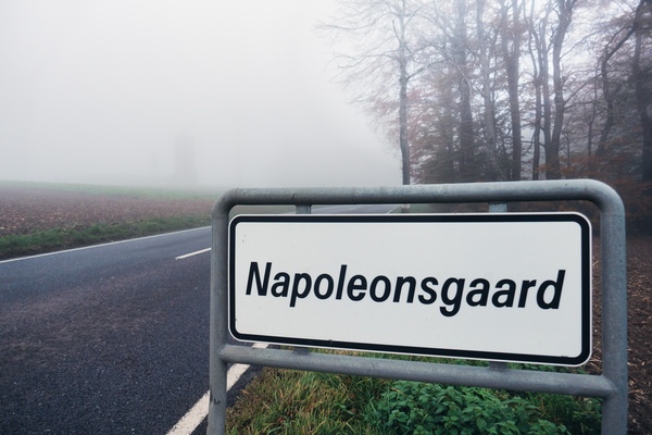
No Napoleon's garden visible
-
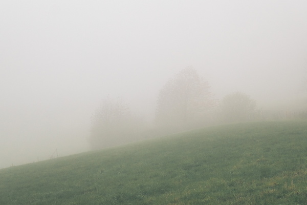
Dense fog north of Rambrouch
-
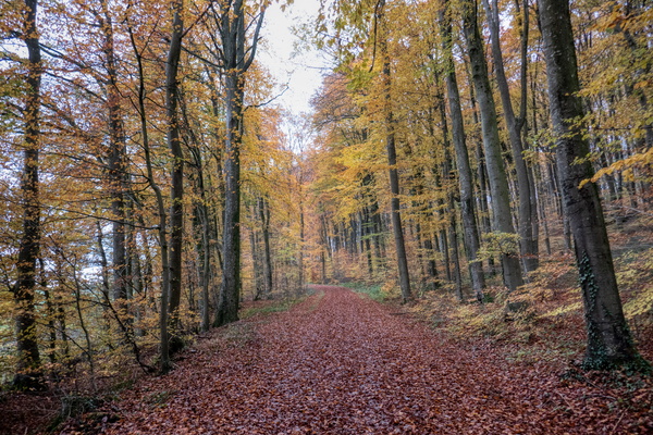
Piste cyclable de l'Ouest north of Redange/Attert
-
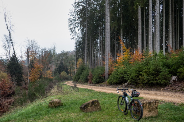
Forest between Hobscheid and Beckerich
-
Collapsed tree on the way

-
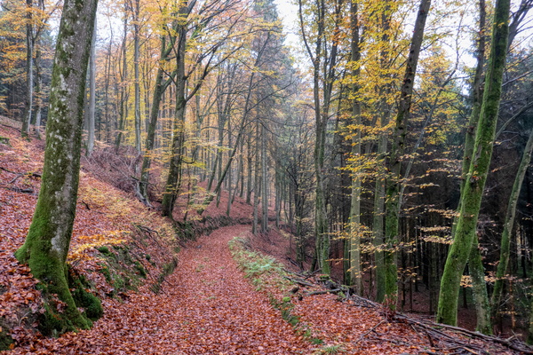
Forest track near Hobscheid
-
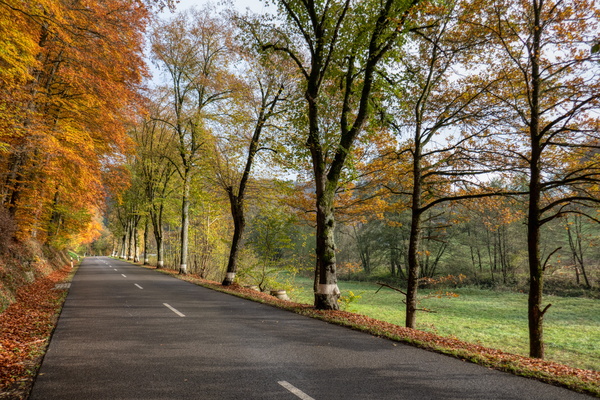
CR 105 road near Septfontaines
-
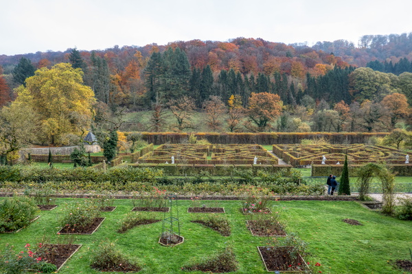
New Castle of Ansembourg's gardens
-
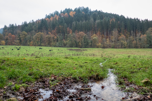
Valley of the Seven Castles
-
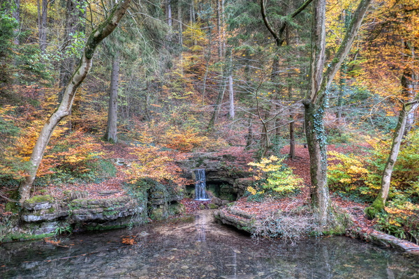
Hunnebur waterfall
-
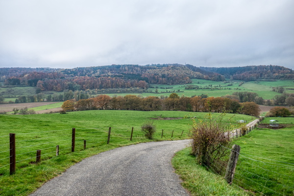
Slope down to Äischdall
-
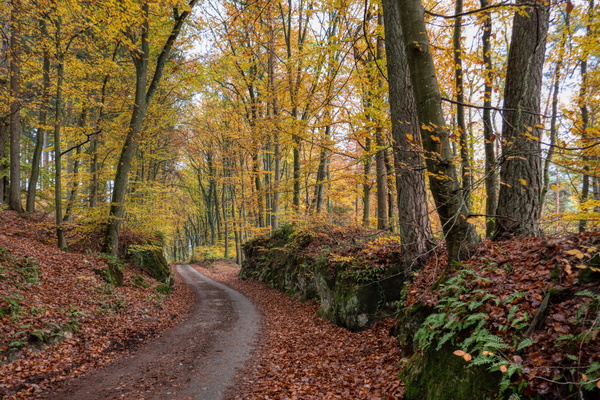
Slope down to Gosseldange
-
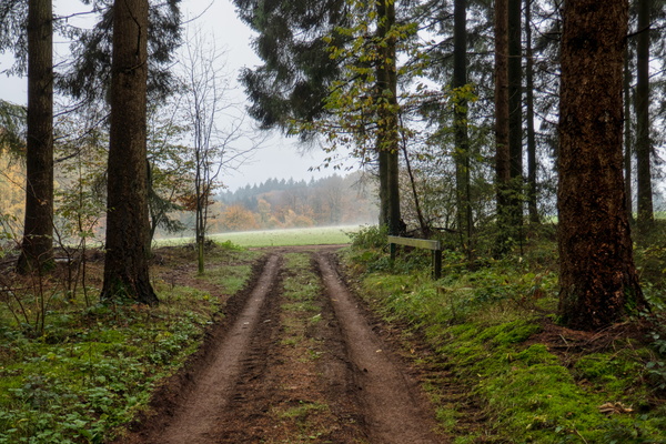
Track between Schoenfels dans Prettingen
-
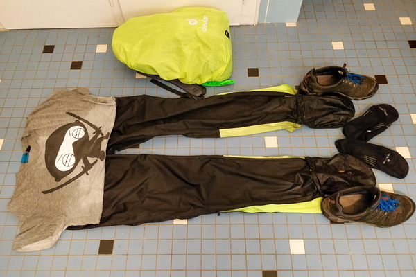
After the 100-mile ride in the rain
-
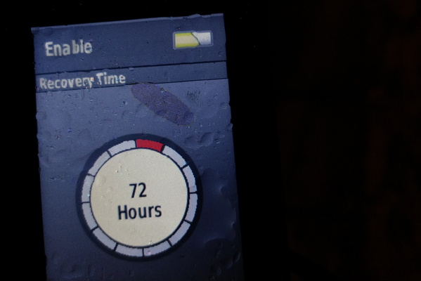
When the GPS heart zones are not properly set
-
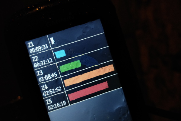
When the GPS heart zones are not properly set
-
How to smell like a wet dog
-
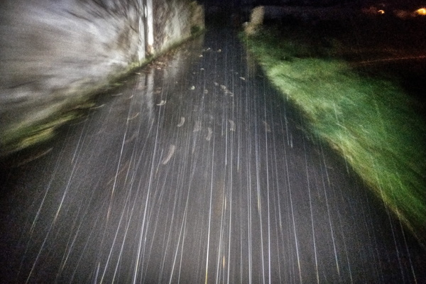
K5 road near Roth an der Our

-
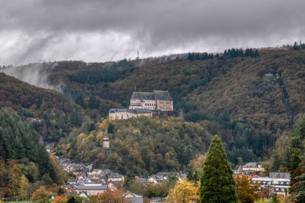
The town of Vianden
-
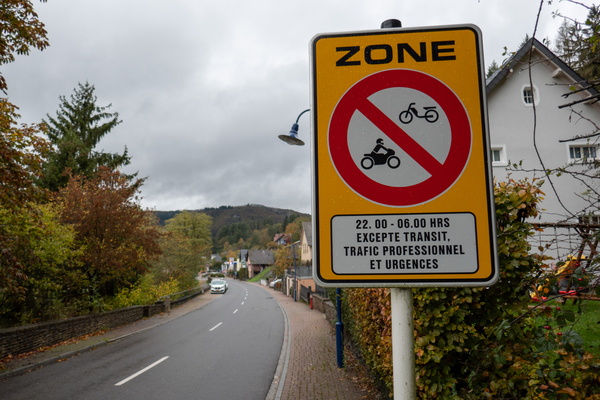
Motorbike and moped restrictions in Vianden
-
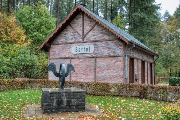
Bettel
-
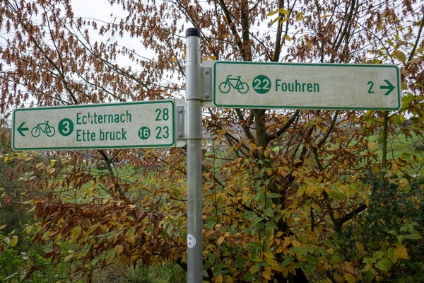
Cycling directions in Bettel
-
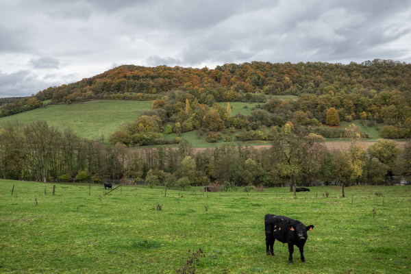
Cow in Ourdall
-
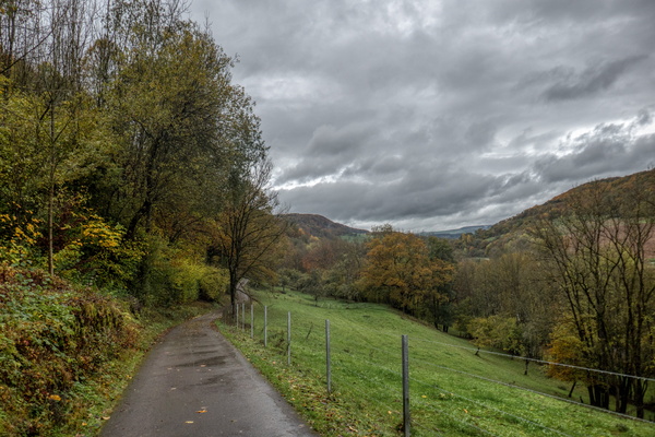
PC 3 towards Vianden near Reisdorf
-
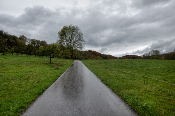
PC 3 towards Vianden near Reisdorf
-
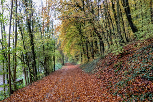
PC 16 near Reisdorf
-
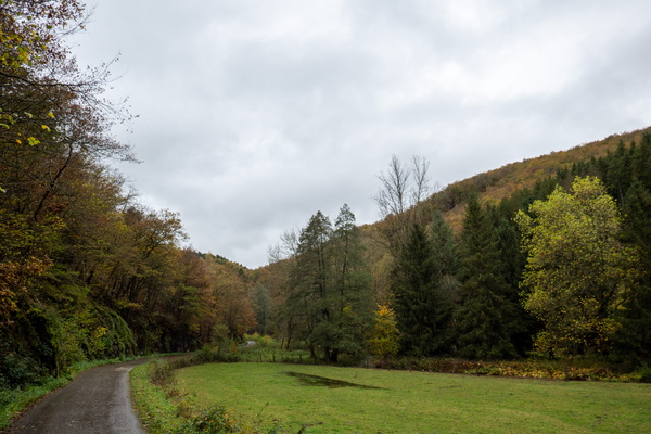
PC 16 in Warkdall
-
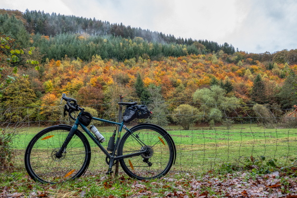
Bike in Warkdall
-
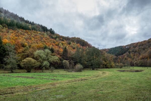
Warkdall
-
Warkdall
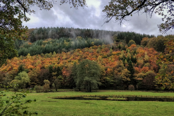
-
PC 16 in Warkdall
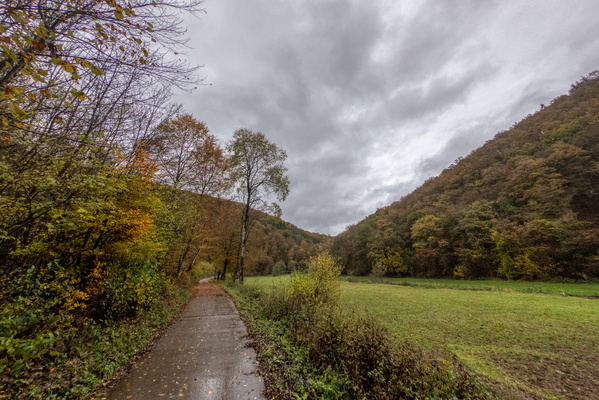
-
PC 16 in Warkdall
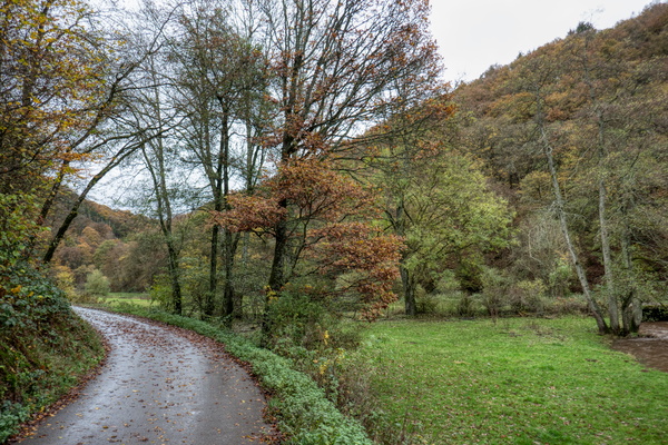
-
Wark river in Warkdall
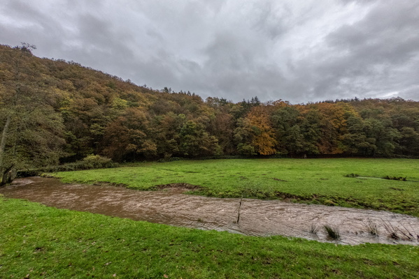
-
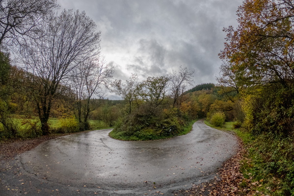
Sharp turn on PC 16 in Warkdall
-
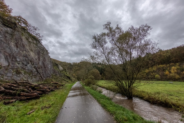
Wark river in Warkdall
-
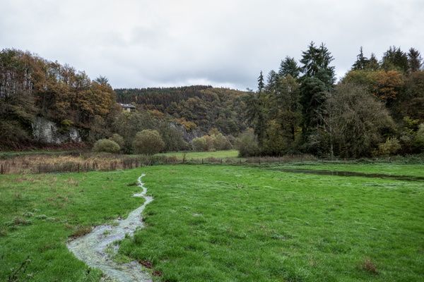
Warkdall
-
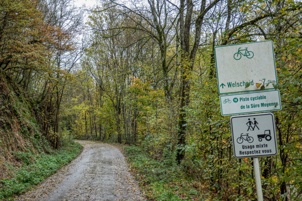
PC 16 in Warkdall
-
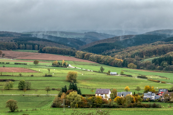
View towards the Ardennes from above Oberfeulen
-
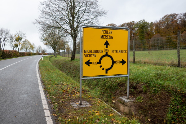
Near the summit of the climb from Colmar-Berg
-
Piste cyclable de l'Alzette near between Cruchten and Colmar-Ber
