-
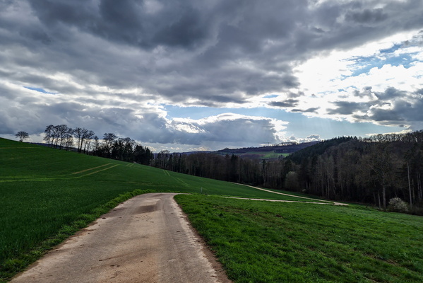
Paved track near Longsdorf
-
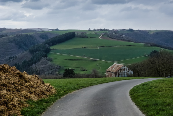
Paved track above Stolzembourg
-
Sheep

-
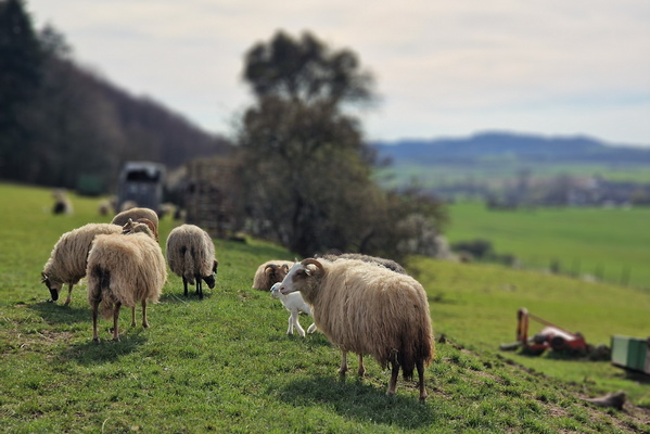
Sheep
-
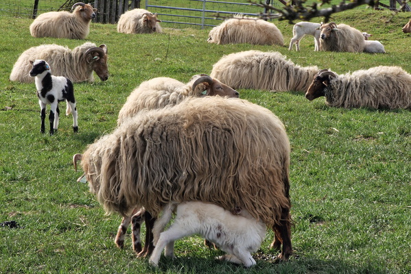
Sheep
-
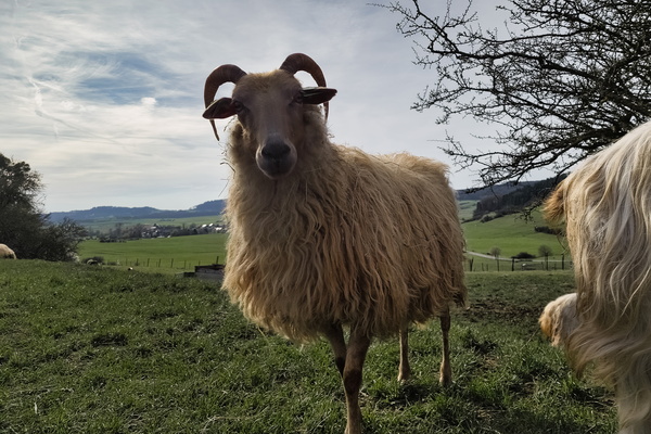
Sheep
-
Moonrise near Gilsdorf

-
Ourdall view

-
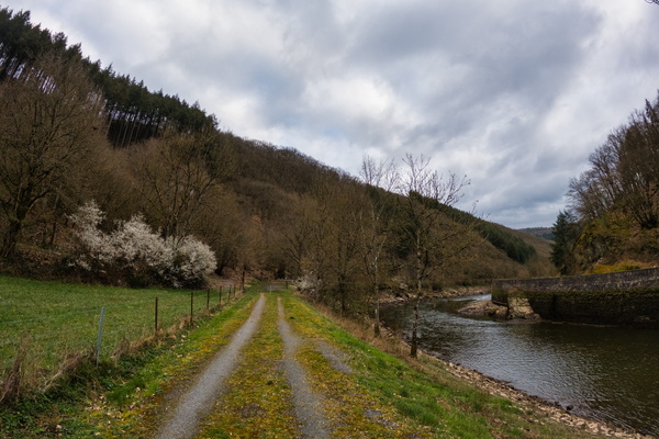
Track along the Ourdall
-
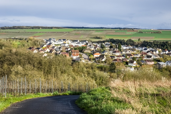
The village of Ehnen
-
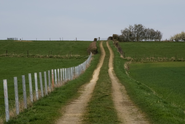
Track near Heffingen
-
Sunpillar

-
Sheep

-
Pedestrians and bikes are dangerous

-
Path in Koerich

-
Oesling valley in Lellingen
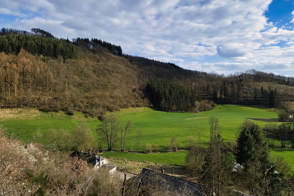
-
Lokalverain

-
Clouds near Waldbredimus
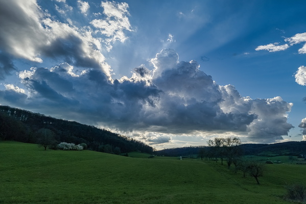
-
Ourdall
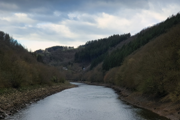
-
Hiking trail Jhangeli information board
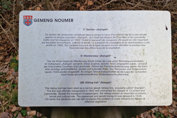
-
Daffodils

-
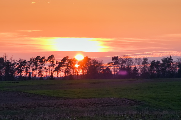
Sunset near Hobscheid
-
Path near Koerich

-
Tree on the way near Reckange

-
Radweg Konz-Wincheringen

-
Sunpillar

-
Gallop

-
Baafelt sign

-
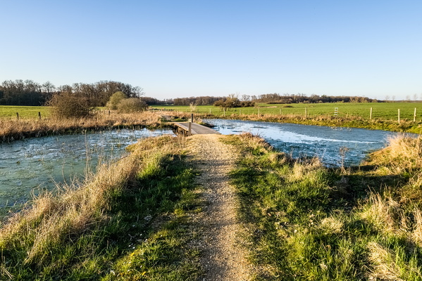
Path and pond in WIndhof
-
Blue hour windmill

-
Vineyards near Erpeldange

-
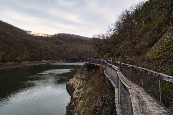
Ourdall
-
Mural in Kehlen

-
Mersch park

-
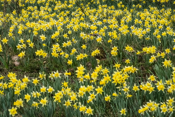
Daffodils
-
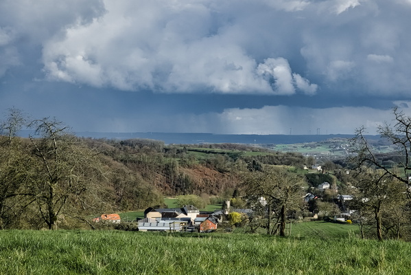
Stormy weather seen from Mutferter Haff
-
Ourdall

-
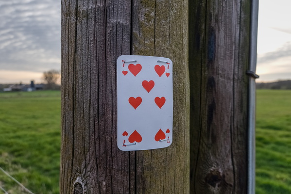
Card on pole
-
Via Botanica

-
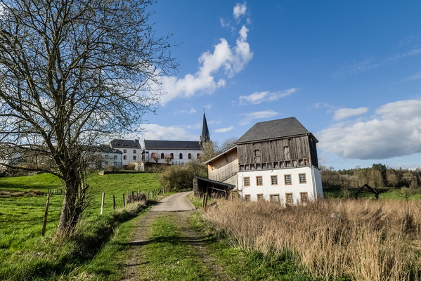
The village of Pintsch
-
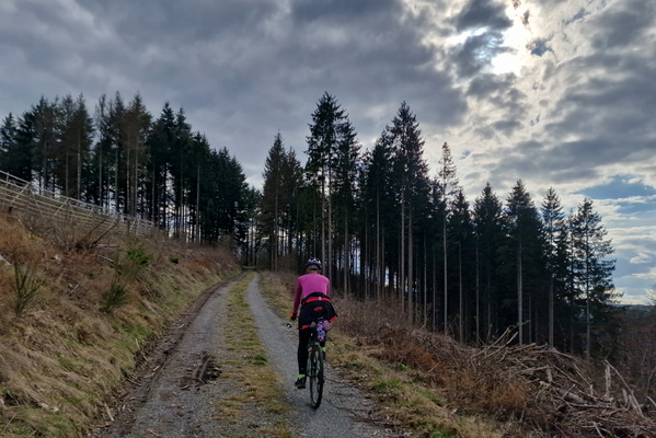
Track between Lellingen and Consthum
-
Interesting cloud cover

-
Muddy Mullerthal Trail

-
Daffoldil

-
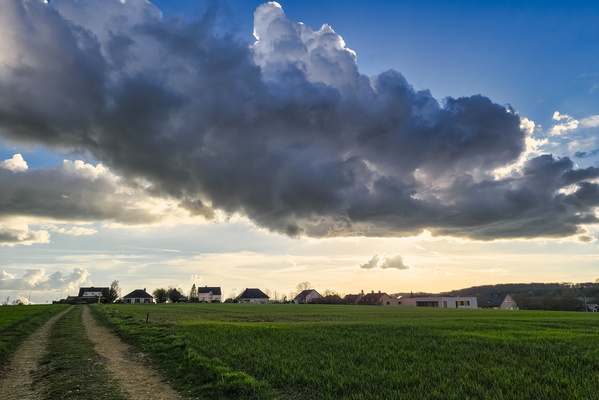
Clouds near Ellange
-
Moonrise near Fisch

-
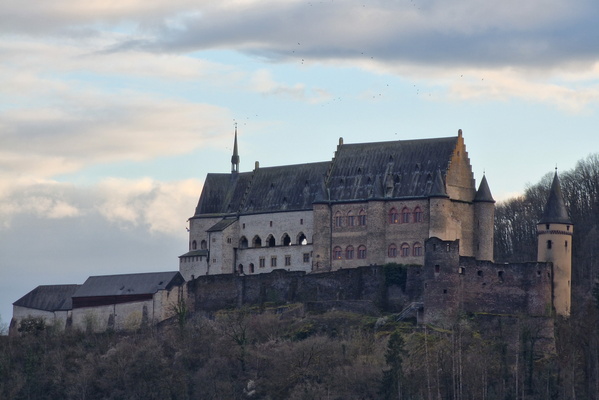
Vinaden castle
-
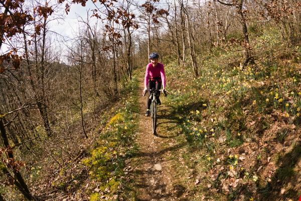
Via Botanica
-
View from Itzig

-
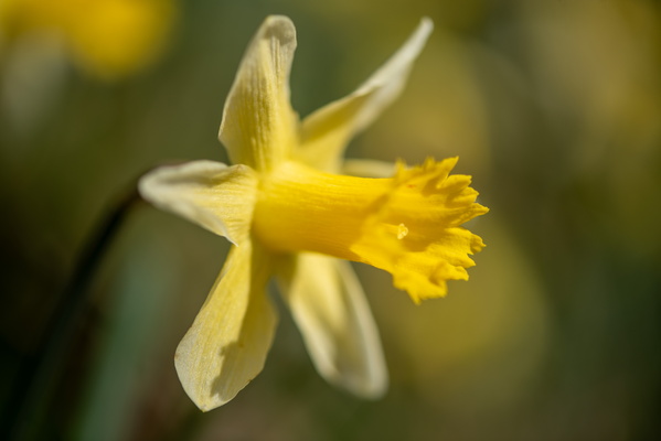
Daffoldil
-
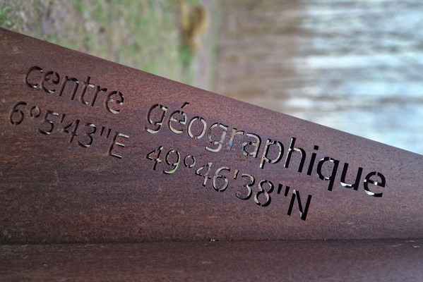
Geographical centre of Luxembourg
-
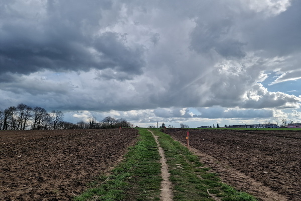
Future cycleway between Itzig and PC1?
-
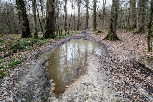
Big puddle
-
Waterfall

-
Oesling hills near Lellingen

-
Interesting cloud cover

-
Smile near the daffodils

-
Moselle valley in Wincheringen

-
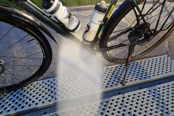
Bike wash in Bertrange
-
Steps or roots

-
Dirty track near Lellingen

-
Daffodils panorama

-
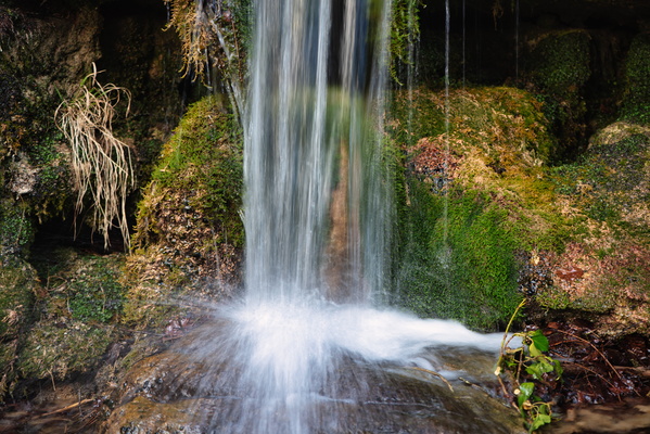
Hunnebur
-
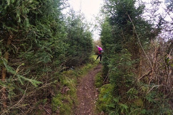
Forest path near Lellingen
-
Hunnebur

-
Our river near Bivels

-
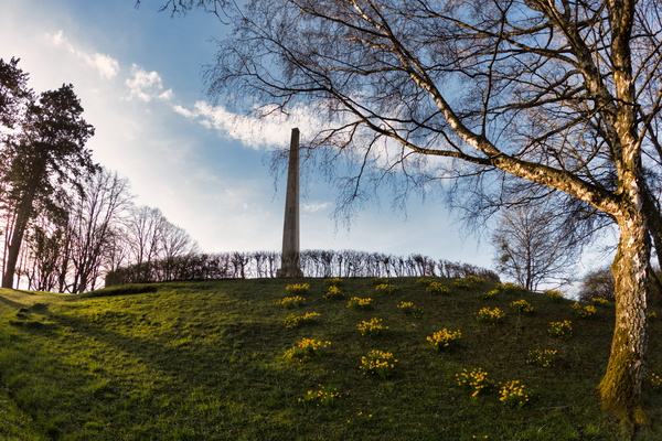
Monument National de l'Indépendance
-
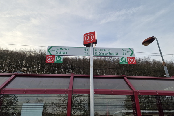
New cycling node in Cruchten
-
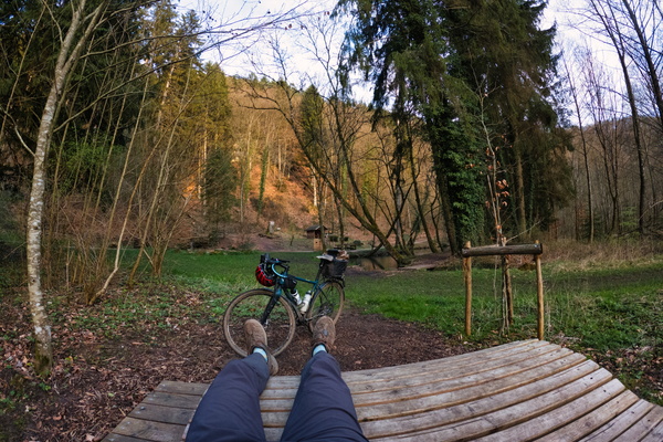
Chilling out in Hunnebur
-
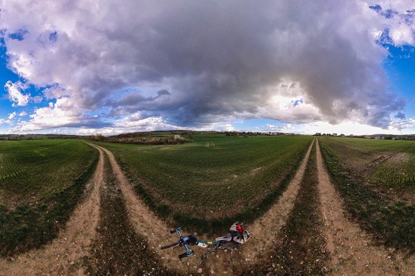
Clouds panorama
-
Moselle river

-
Our river in Vianden

-
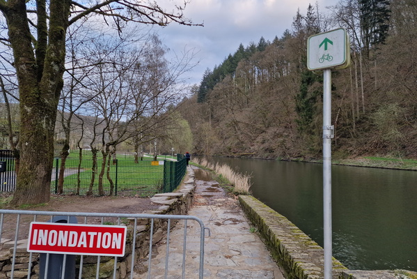
Flood
-
Hunnebur

-
Hunnebur
