-
Path to the Storm, or Through It?

-
A Deep Dive into the Cloud Formations

-
My Sense of Direction, Pictured

-
Where the Sun Kissed the Frost

-
Piste cyclable des Ardoisières

-
Horses near Rommelerhaff

-
Bus works

-
Valley near Rommelerhaff

-
Entering Luxembourg

-
Sauer bridge

-
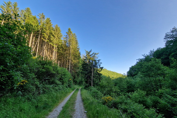
Forest track near Rambrouch
-
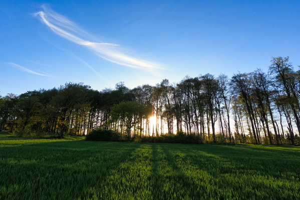
Fantastic light
-
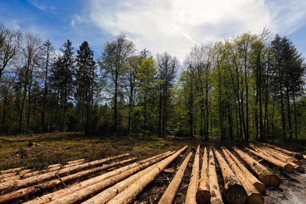
Forestry works
-
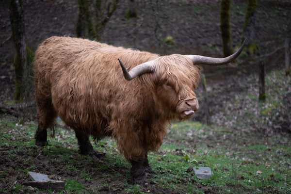
Moo cow
-
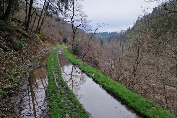
Puddles on Rambrouch MTB Trail
-
Last climb of the day?

-
Rambrouch MTB Trail

-
Track near Rambrouch

-
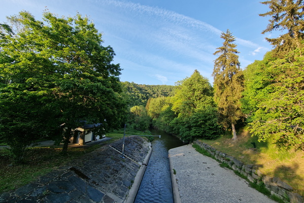
Sauer river near Bigonville
-
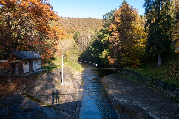
Our shadows at Moulin de Bigonville
-
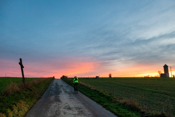
Dusk near Holtz
-
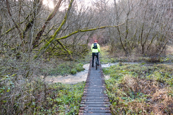
Sauerdall cycling
-
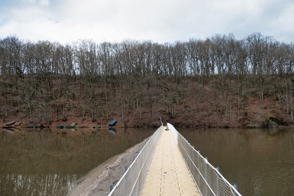
Floating bridge next to closed Pont Misère
-
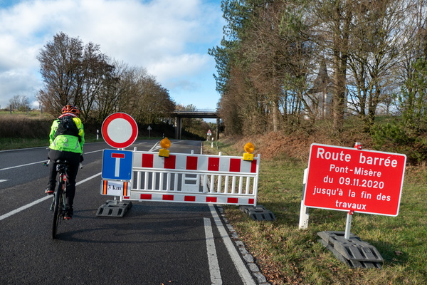
The bridge is closed, but...
-
Sauer river in Martelange

-
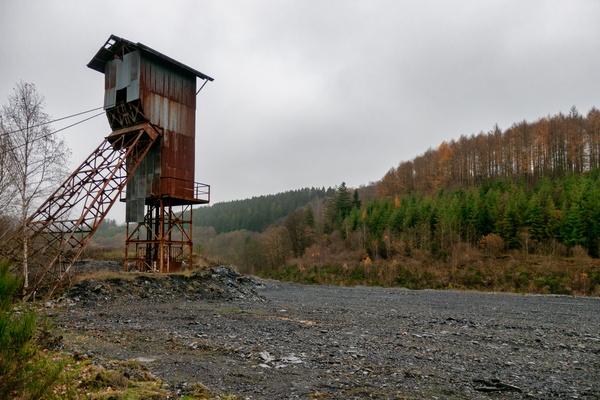
Sandstone quarry
-
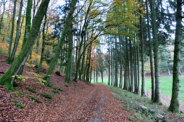
Sentier du Préizerdall near Arsdorf
-
Rainbow and clouds

-
Let it rain

-
Forest track near Rambrouch

-
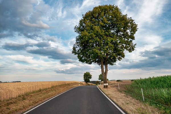
Road near Holtz
-
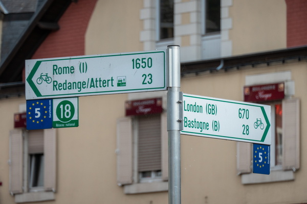
All roads lead to Rome
-
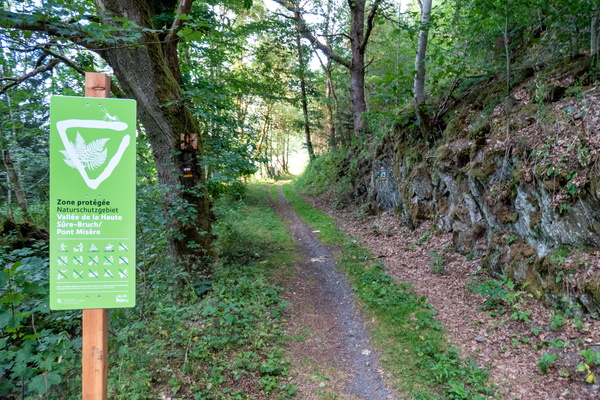
Nature reserve Haute-Sûre-Bruch/Pont Misère
-
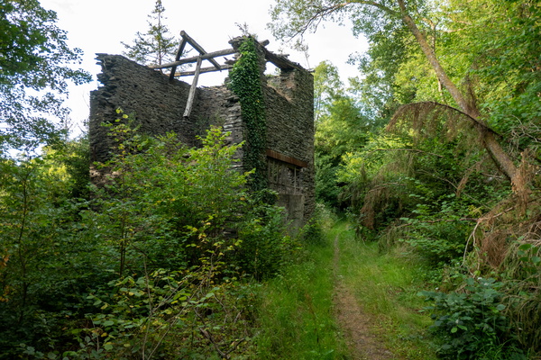
Ruin near Ardoisières, Martelange
-
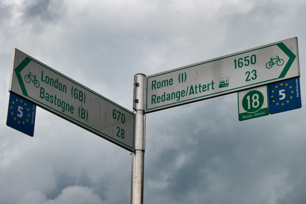
All roads lead to Rome
-
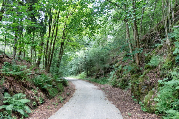
Piste cyclable des Ardoisières near Martelange
-
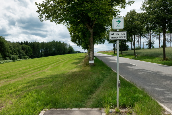
Passage difficile
-
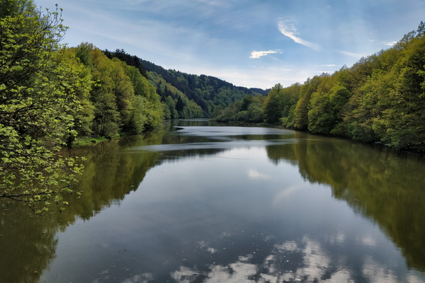
Lac de la Haute-Sûre at Misärsbréck
-
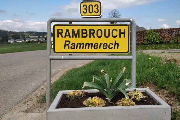
Welcome to Rambrouch
-
Ardennes-Eifel route

-
View to the Sauer valley

-
Upper-Sauer Nature Park sign

-
Ardennes Eifel route

-
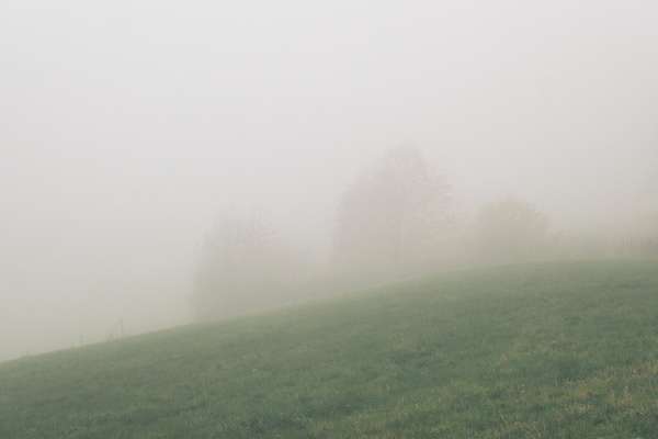
Dense fog north of Rambrouch
-
Eschette sign
