-
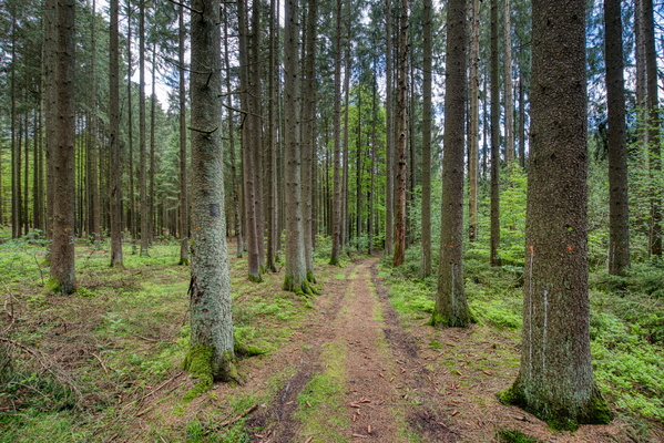
Path in Reckenthal

-
Urban gravel
-
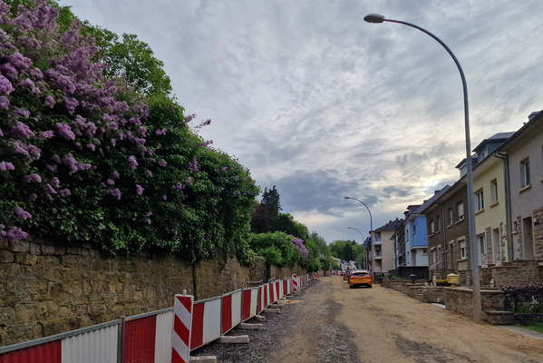
Waarkdall

-
They can cut off all the flowers. They will not stop spring.

-
Yumm Festival

-
Passerelle des Arts

-
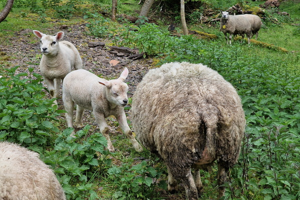
Sheep
-
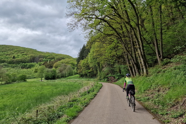
Waarkdall
-
House for sale in Ettelbruck

-
New floating bridge in Diekirch

-
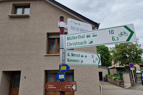
New bike route in Medernach
-
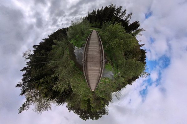
White Ernz bridge panorama
-
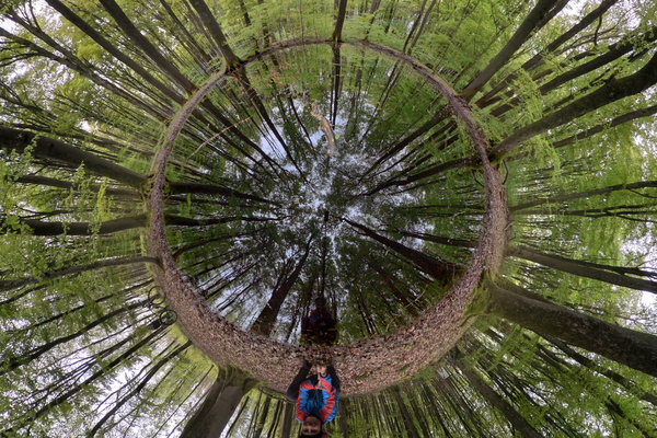
Reflection in the Mardelle
-
Sheep

-
Goats

-
Shelter

-
Dudelage radio tower

-
Forest path near Dudelange

-
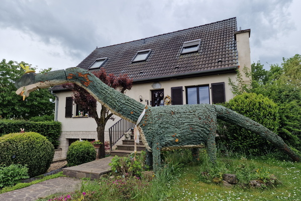
House decoration
-
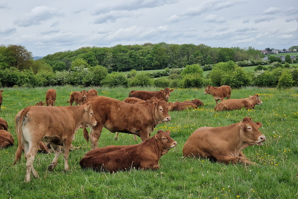
Cows
-
Tadpoles

-
Bois de Colmar Berg

-
Bois de Colmar Berg

-
Baby fox

-
Trees near Hovelange

-
Amphibian

-
Outdoor seating

-
Foggy day

-
Busy cycleway

-
Kylltag-Radweg near Kordel

-
Cycling/train tunnelon Kylltal-Radweg

-
Kylltal Radweg

-
Eifel-Mosel-Route sign

-
Bike route near Speicher

-
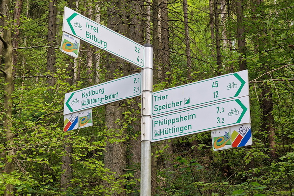
Cycling directions near Bitburg
-
Dinosaur in Irrel

-
Sheep

-
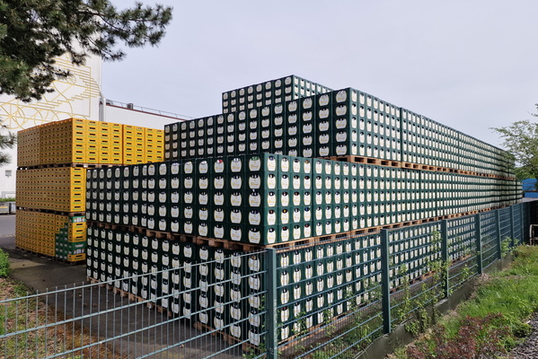
Bitburger pile
-
No outdoor activity allowed during winter conditions

-
Serene forest cycleway

-
Timmy

-
Timmy

-
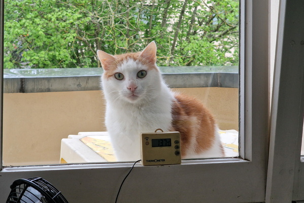
Timmy outside
-
Sleeping Timmy

-
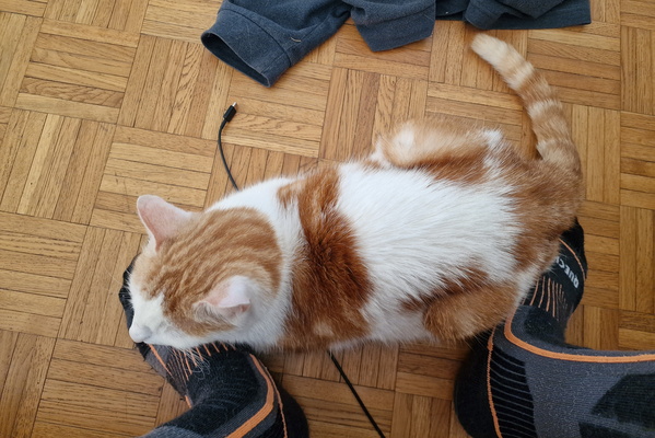
Timmy on my feet
-
Timmy in a box

-
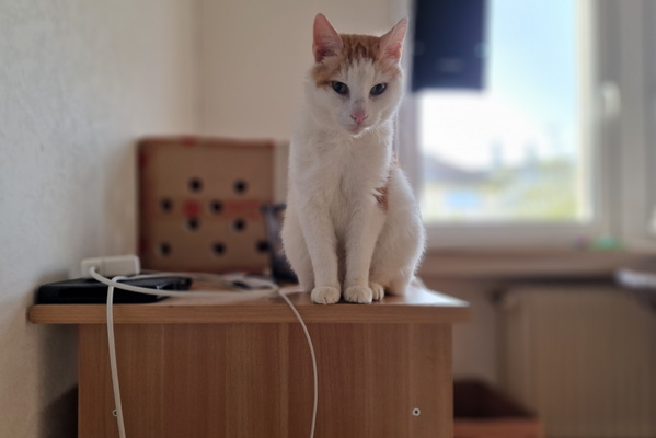
Timmy
-
Timmy

-
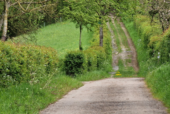
Autopédestre Ettelbruck 2
-
Thank you, tubeless!

-
Wood decay

-
Logs

-
Dirty path

-
Track near Reisdorf

-
PC 3 near Bettel

-
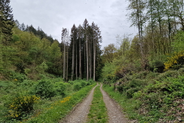
Track near Vianden
-
Track near Vianden

-
Track near Vianden

-
Vianden castle playing hide and seek

-
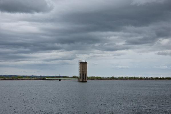
Mont Saint-Nicolas
-
Track near Landscheid

-
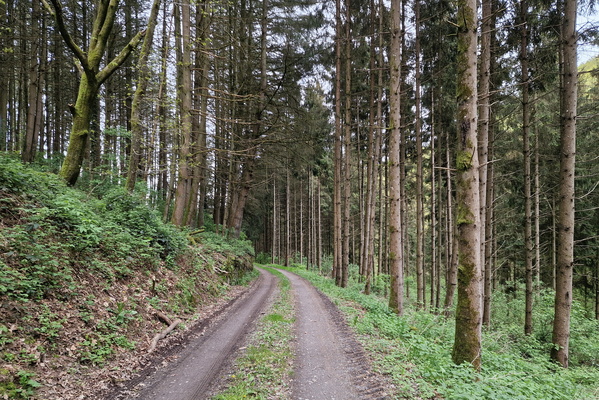
Forest track near Landscheid
-
Brandebourg castle

-
Sheep

-
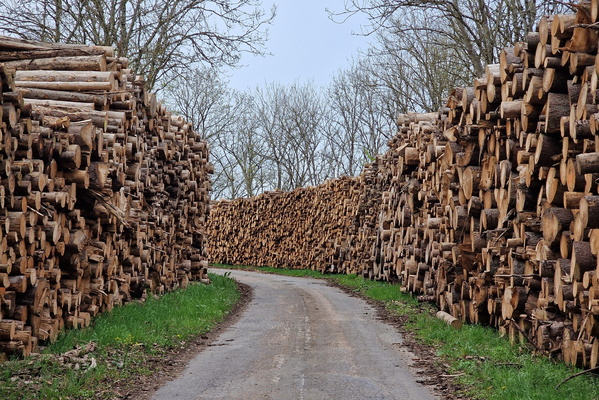
Logging
-
Forest track near Burden

-
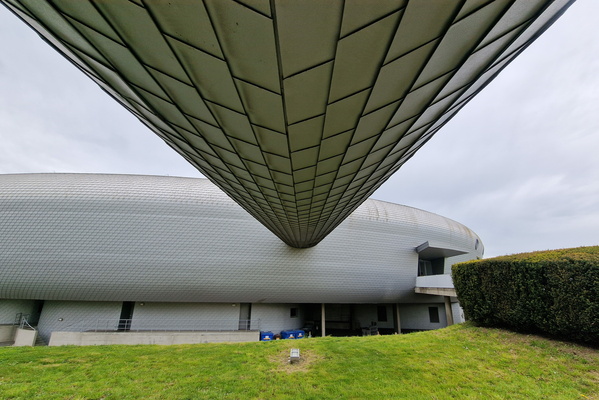
Les Thermes, Strassen
-
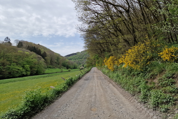
Track near Toodlermillen
-
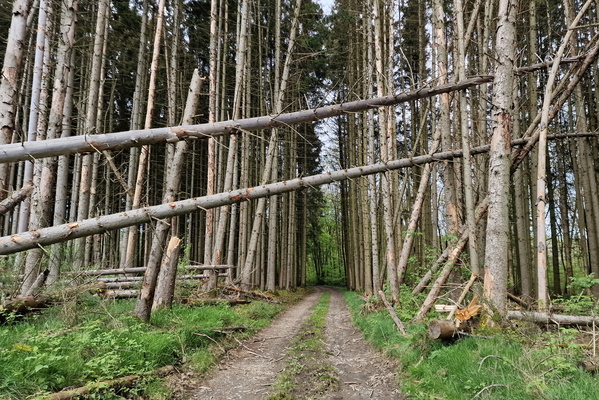
Trees...
-
Sauerdall

-
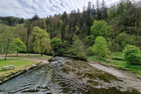
Sauer river in Heiderscheidergrund
-
Track near Eschdorf

-
Above the Stauséi

-
New bike route in Esch-sur-Sûre

-
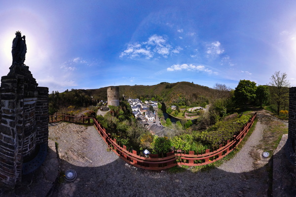
Esch-sur-Sûre panorama
-
Esch-sur-Sûre

-
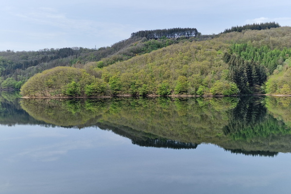
Reflections in the water
-
Sculpture near the lake

-
Reflections on the lake

-
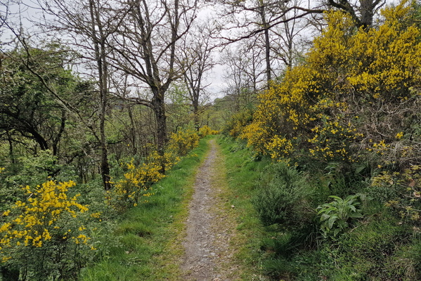
Path near Liefrange
-
Path near Liefrange

-
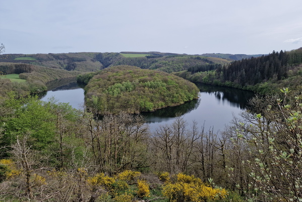
Stauséi viewpoint
-
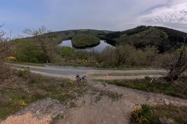
Stauséi viewpoint
-
Track near Baschleiden

-
Hiking diversion

-
Path near Liefrange

-
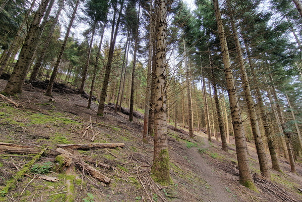
Steep path
-
Bridge near Arsdorf

-
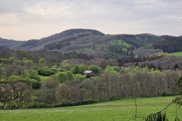
View near Misärshaff
-
Huge water drop
-
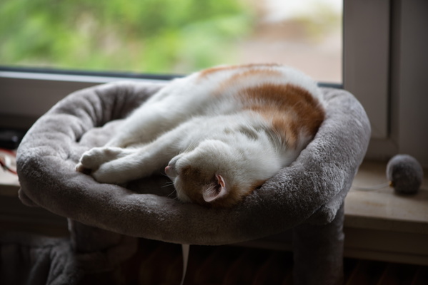
Chilling out Timmy
-
Timmy waking up
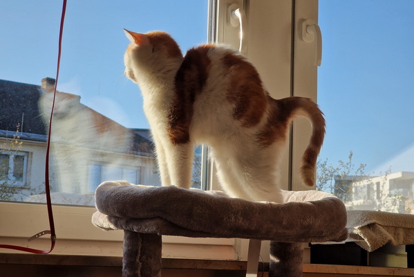
-
Relaxing Timmy
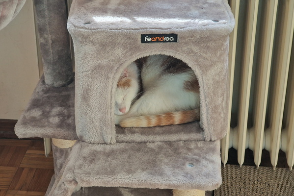
-
Track in Grünewald
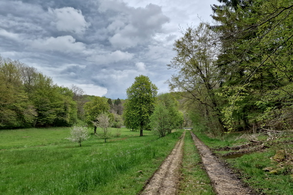
-
Logging
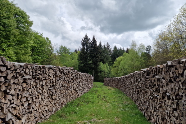
-
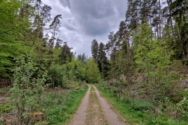
Grünewald near Gonderange
-
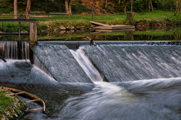
Alzette river at Gantenbeinsmillen
-
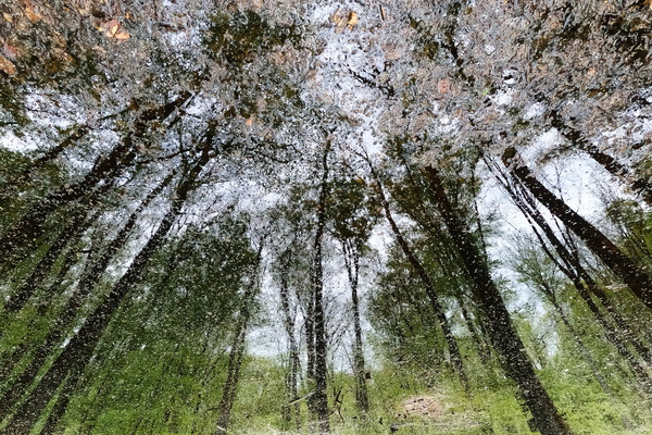
Mardelle
-
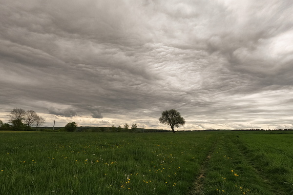
Storm coming?
-
Mullerthal Trail near Medernach
-
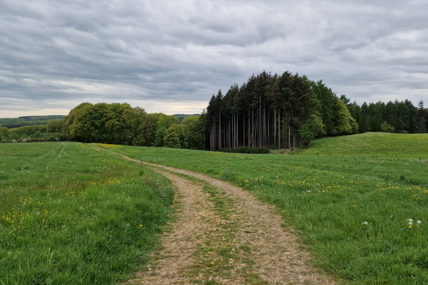
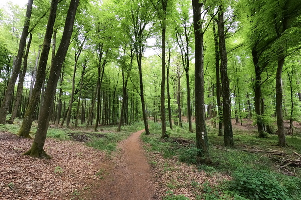
Mullerthal Trail near Medernach
-
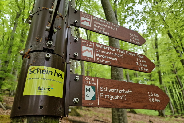
Humour on a sign
-
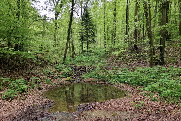
Water pond
-
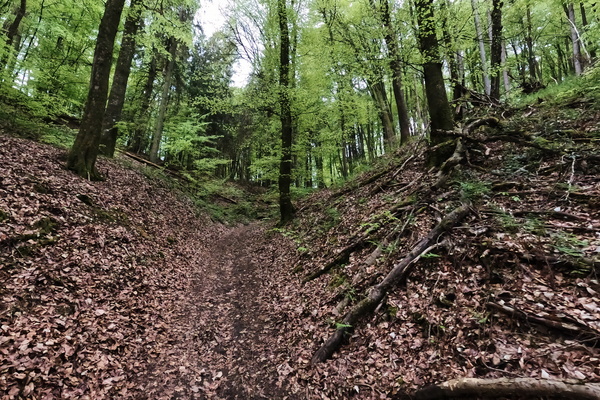
Path near Blumenthal
-
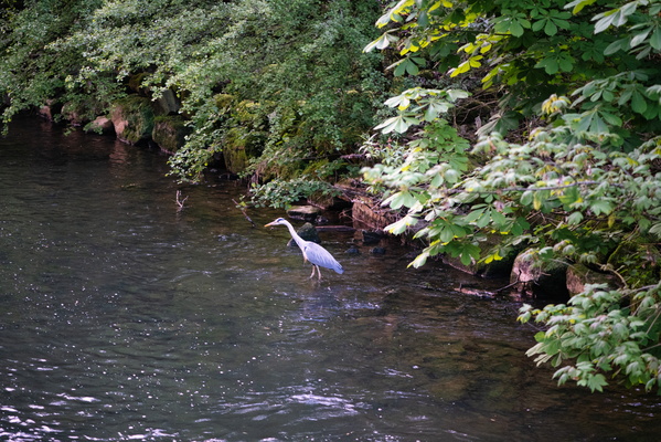
Heron
-
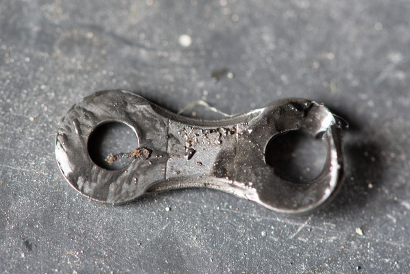
A chain is as strong...
-
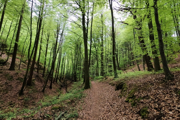
Mullerthal Trail near Medernach
-
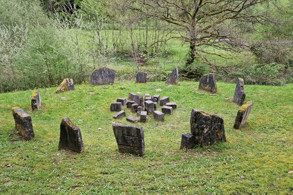
Is this art?
-
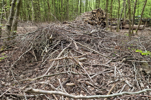
Wood-covered forest track
-
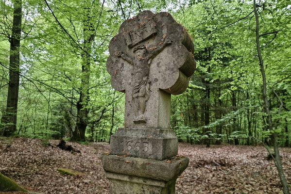
1665 wayside cross
-
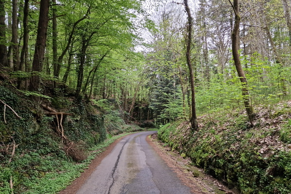
Road near Meysembourg
-
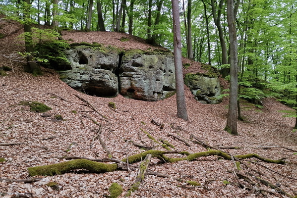
Rock near Binzrath
-
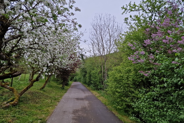
Blooming trees in Schoenfels
-
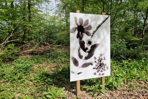
Art in the forest, Leudelange
-
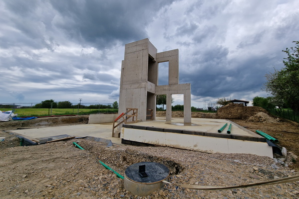
House construction in Hautcharage
-
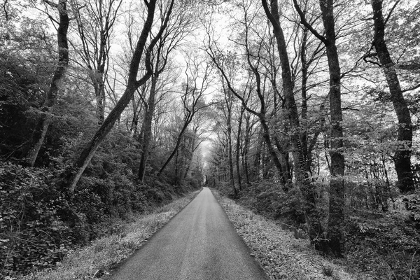
Historic railroad near Hautcharage
-
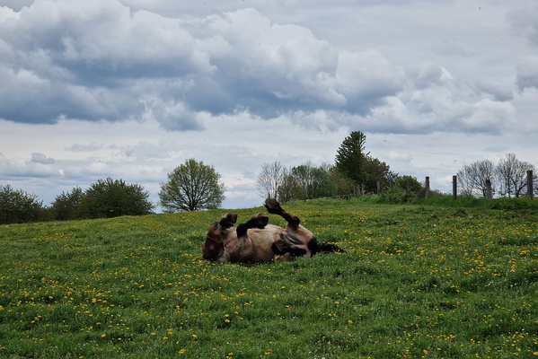
Horse on the back
-
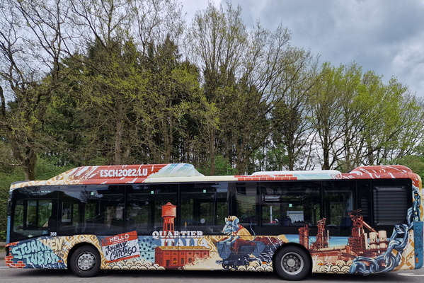
MOPE's bus mural
-
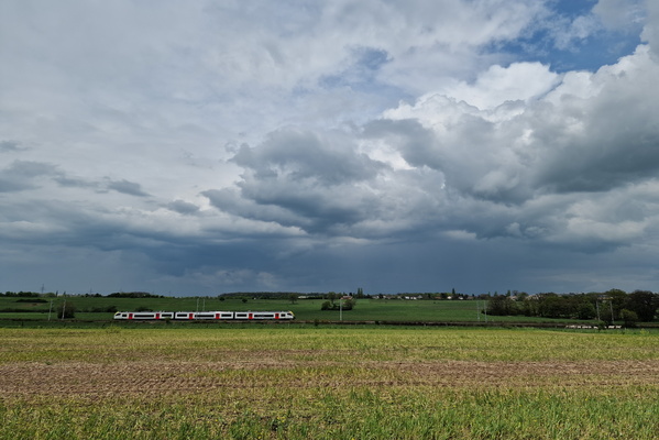
Travel to the clouds
-
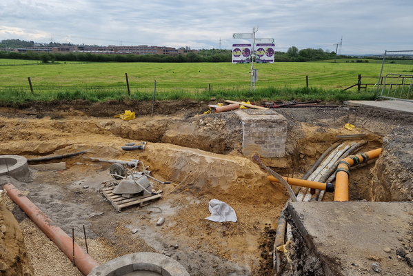
Pipe works
-
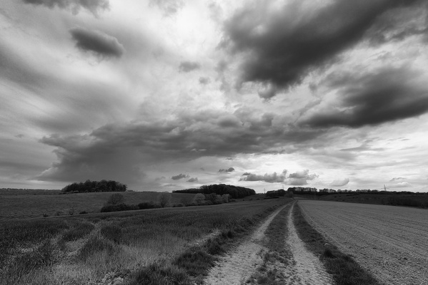
Is a storm coming?
-
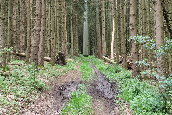
Look for the intruder
-
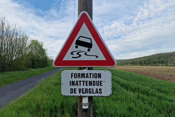
Unexpected formation of ice
-
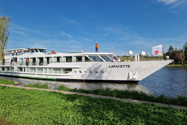
Boat on the Moselle river
-
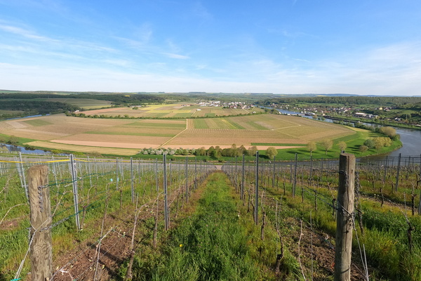
Moselle loop
-
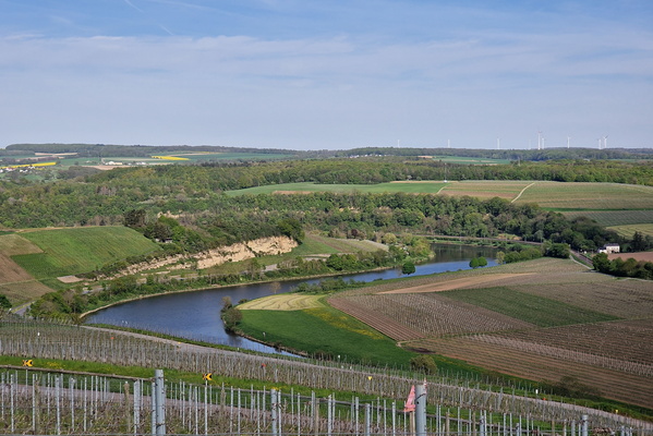
Moselle valley near Greiveldange
-
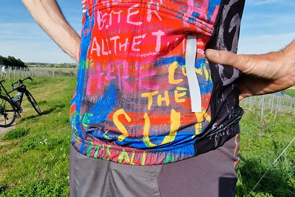
My cycling jersey
-
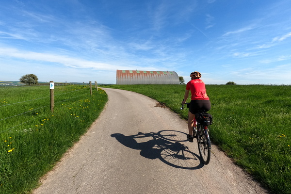
Cycling near Gostingen
-
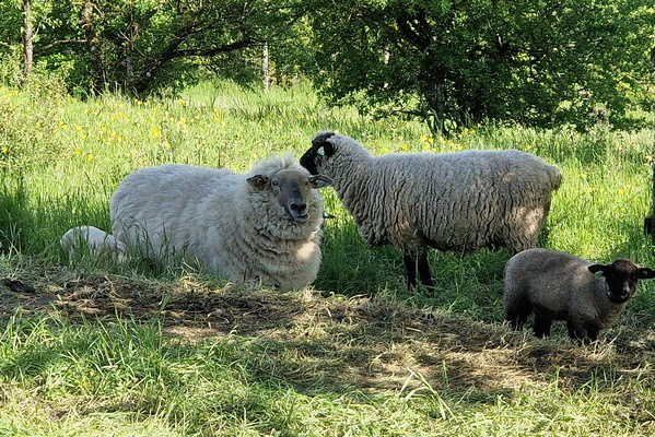
Sheep and lamb
-
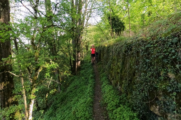
Path near Gostingen
-
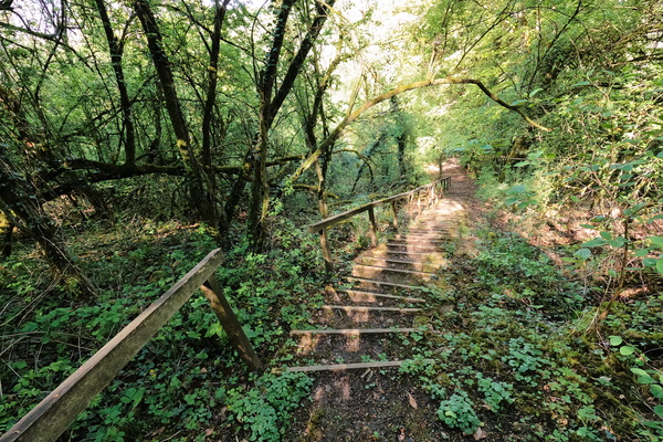
Steps near Gostingen
-
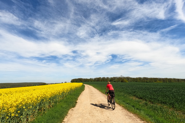
Track near Beyren
-
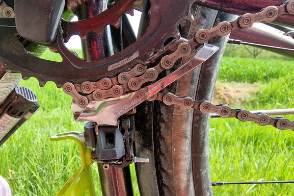
Oops!
-
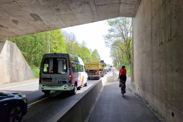
Beating the motorised traffic
-
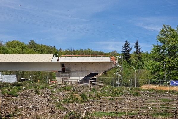
Half-a bridge
-
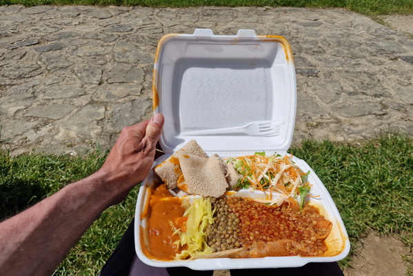
Ethiopian lunch in the park
-
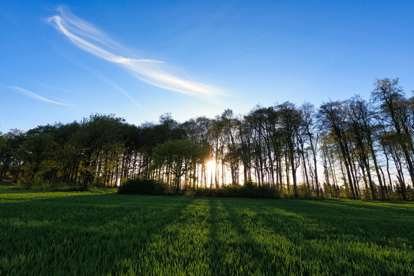
Fantastic light
-
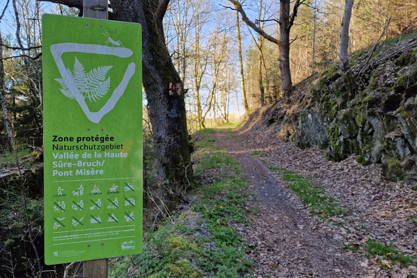
Sentier des Fraudeurs
-
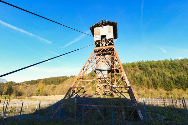
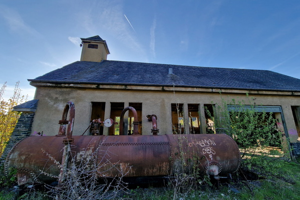
Old industry
-
Old industry
-
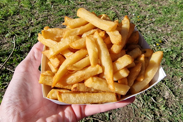
Belgian fries in Martelange
-
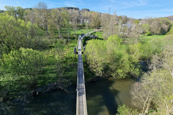
Sauer in Martelange
-
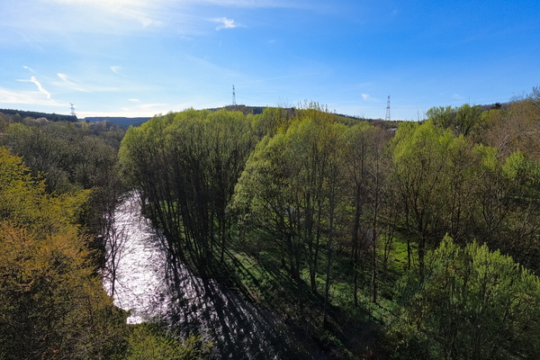
Sauer in Martelange
-
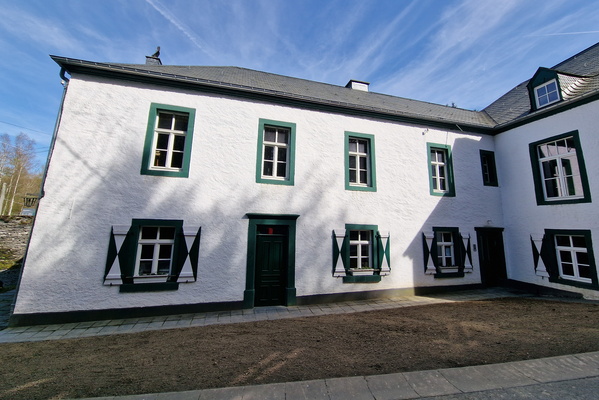
Ardoisière in Haut-Martelange
-
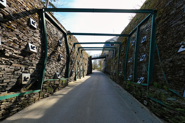
Ardoisière in Haut-Martelange
-
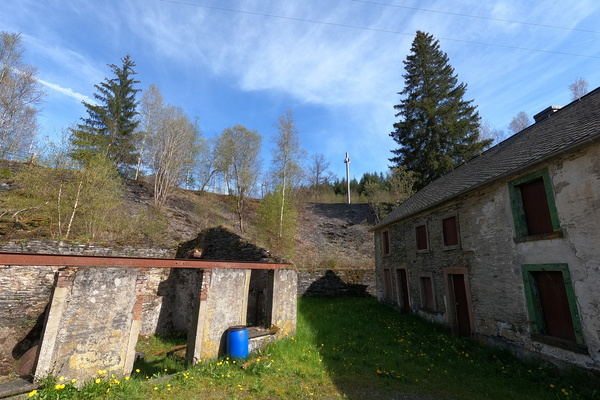
Ardoisière in Haut-Martelange
-
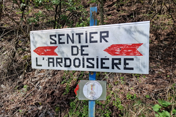
Sentier de l'ardoisière
-
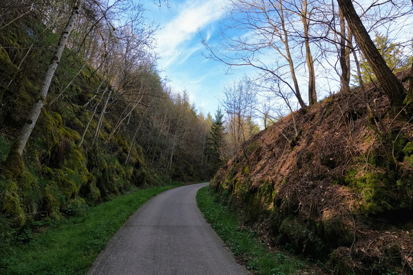
Former railroad
-
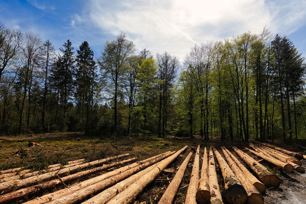
Forestry works
-
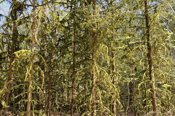
Spooky trees
-
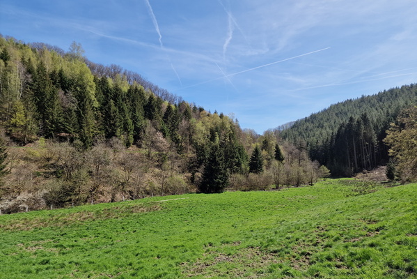
Koulbich valley
-
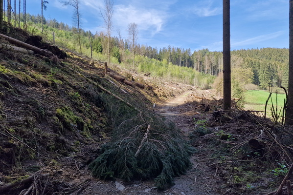
Koulbich valley
-
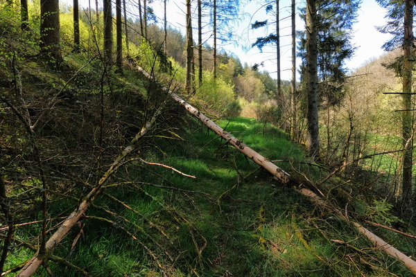
Koulbich valley
-
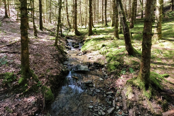
Koulbich valley
-
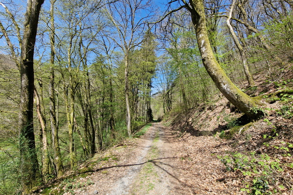
Koulbich valley
-
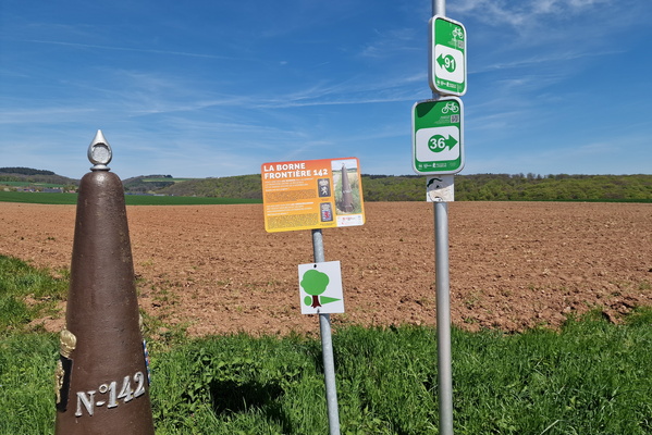
Belgium-Luxembourg border point 142
-
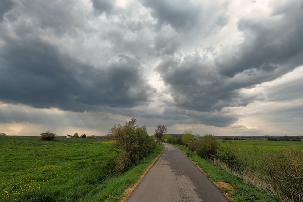
Nearby storm
-
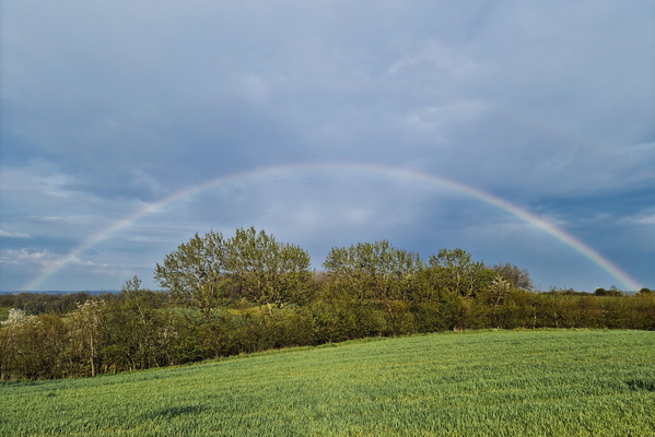
A rainbow over a green field
-
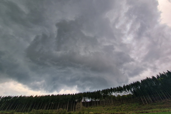
Threatening sky
-
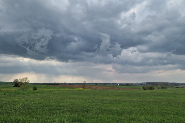
Nearby storm
-
Closed!

-
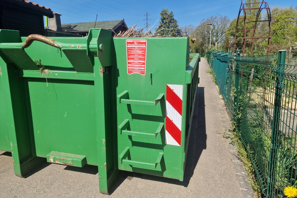
Bigger gap
-
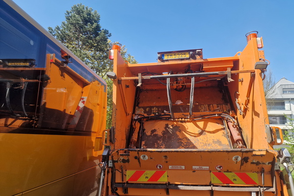
Very little gap
-
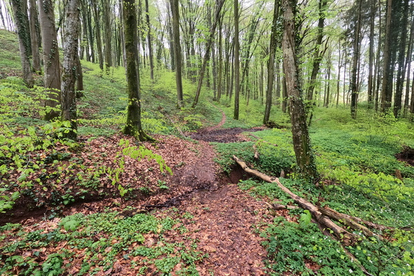
Sentier de l'Attert
-
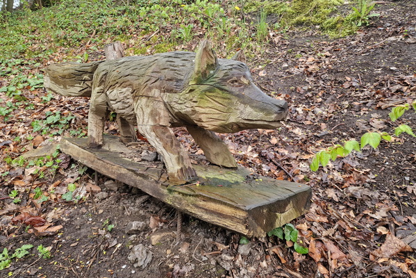
Fox sculpture in Steinfort
-
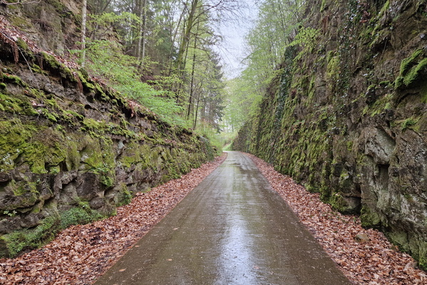
Got there after the storm
-
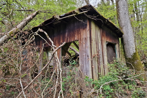
Abandoned forest building
-
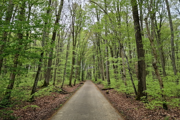
Dällchen West Tour near Useldange
-
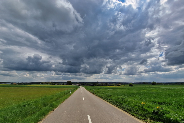
The sky doesn't look too good!
-
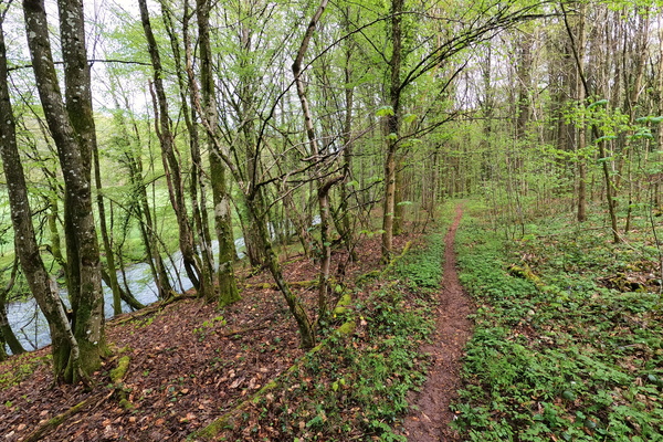
Sentier de l'Attert
-
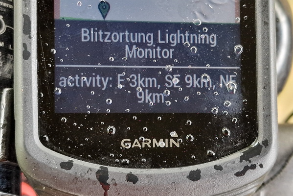
Thunderstorm around!
-
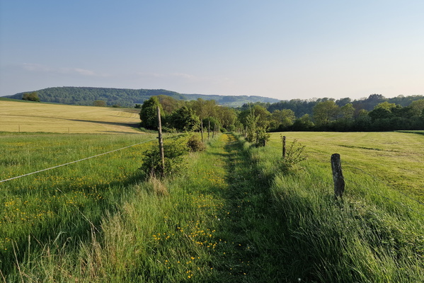
Path between Biesdorf and Wallendorf
-
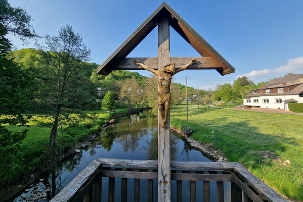
Alte Brücke in Bettingen
-
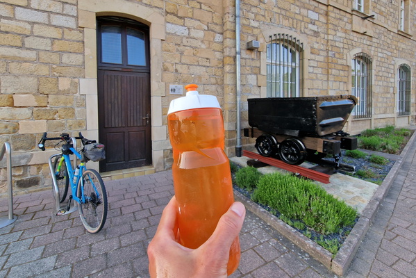
Water refill in Reisdorf
-
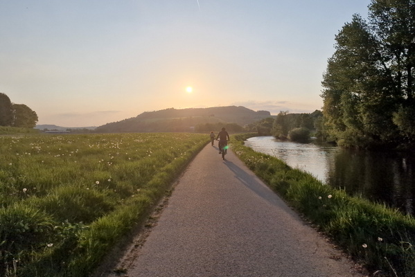
PC 16 near Gilsdorf
-
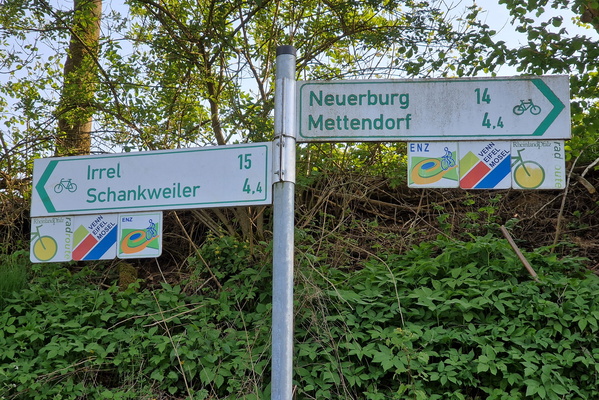
Cycling directions in Enzen
-
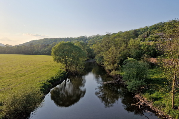
Our river near Wallendorf
-
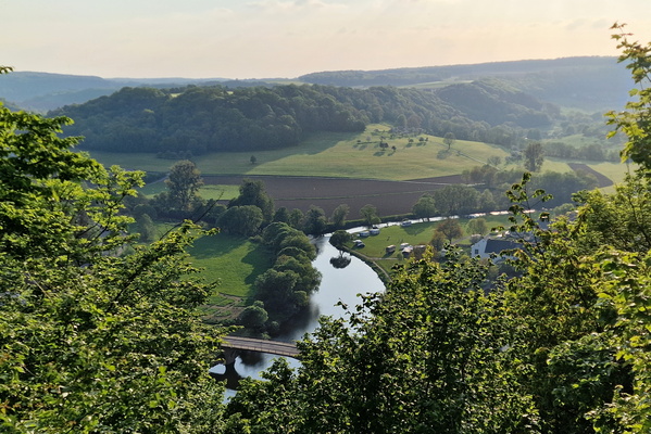
Sauer and Our confluence point from above
-
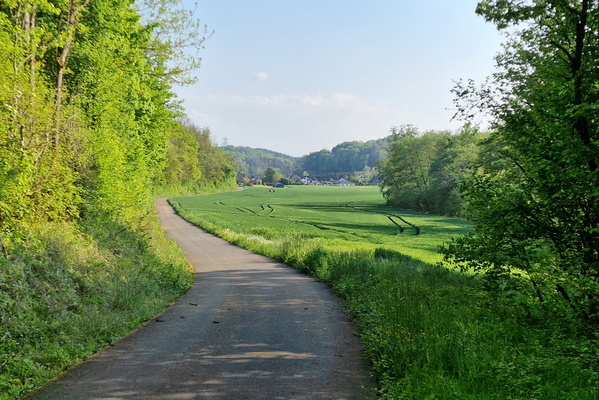
Prümtal Radweg near Oberweis
-
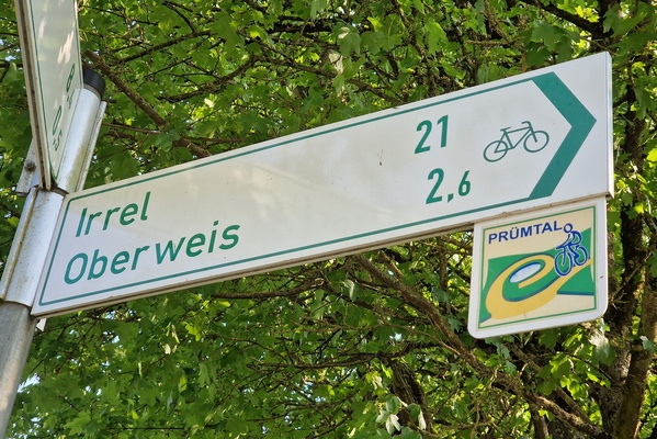
Sign on Prümtal Radweg
-
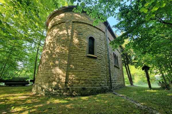
Bildchen Kapelle
-
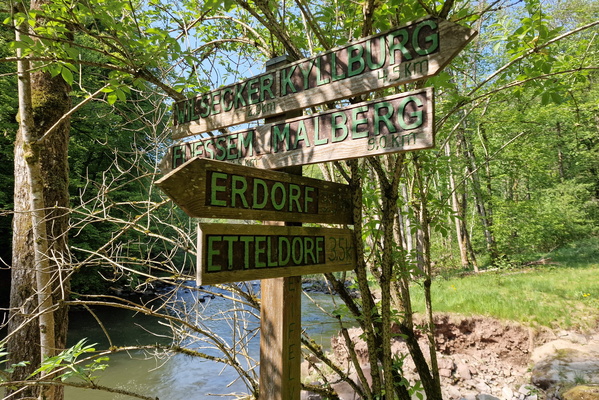
Hiking directions on the Kyll river
-
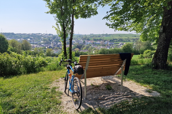
Viewpoint near Rittersdorf
-
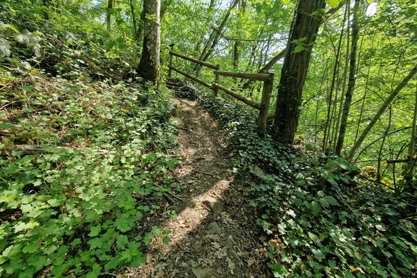
Path near thr Kyll river
-
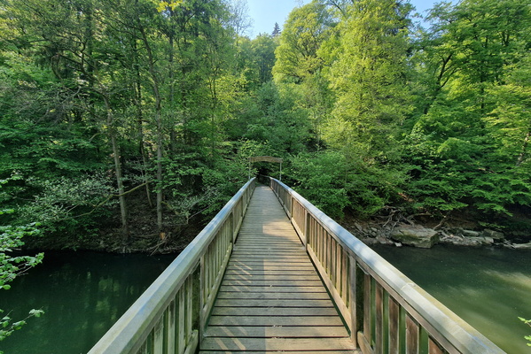
Bridge on the Kyll river
-
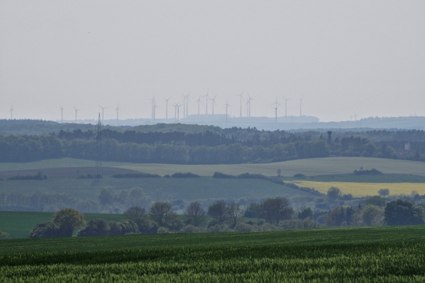
Windmills near Bitburg
-
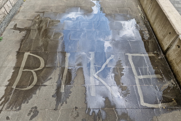
Tiles cleaning
-
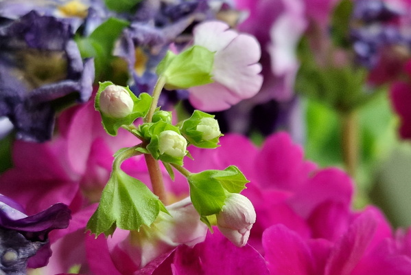
Kitchen flowers
-
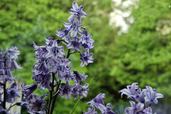
Garden flowers
-
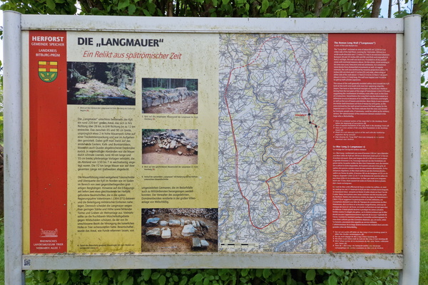
The "Langmauer" information board
-
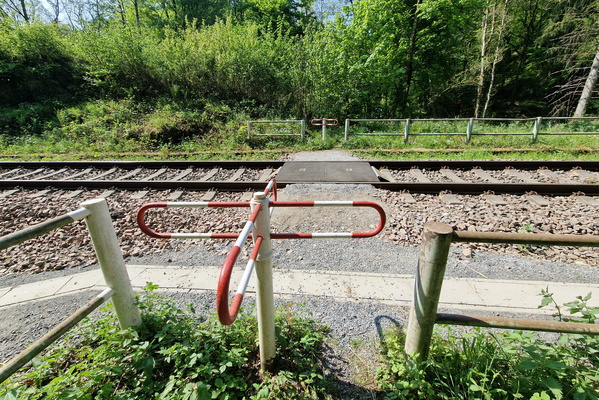
Railroad crossing
-
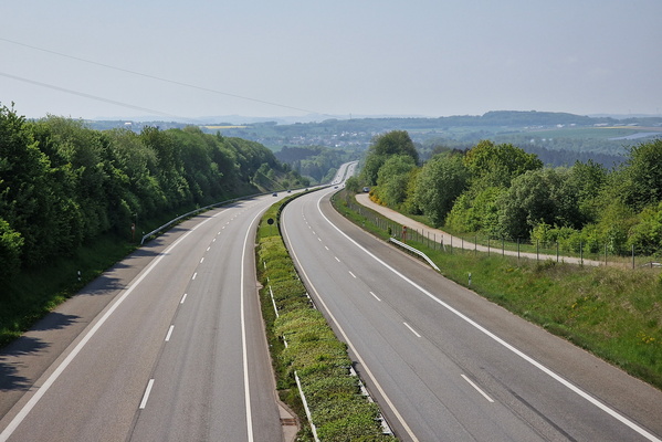
Empty motorway
-
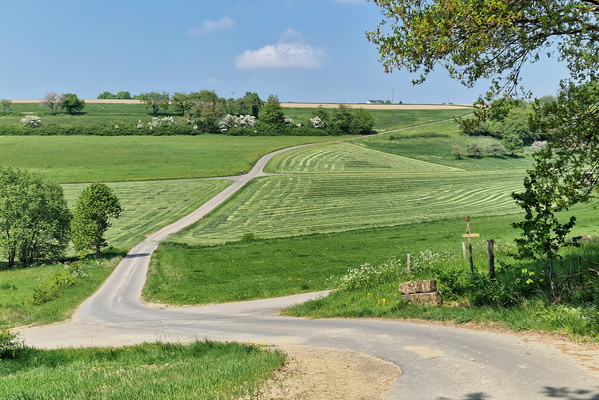
Countryside near Wilsecker
-
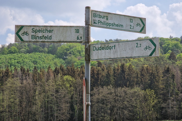
Sign on Radweg Philippsheim - Binsfeld
-
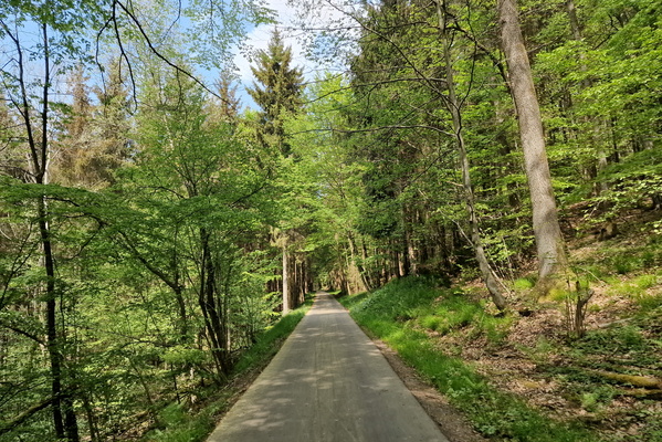
Radweg Philippsheim - Binsfeld
-
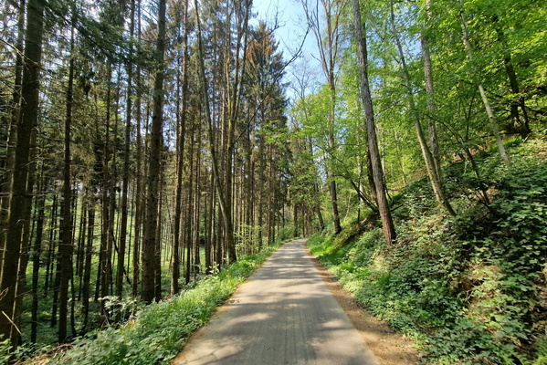
Radweg Philippsheim - Binsfeld
-
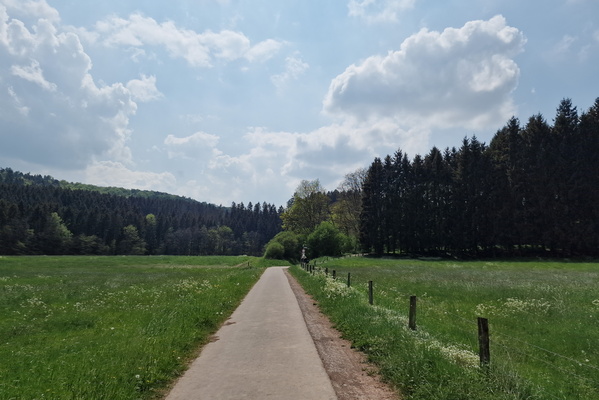
Radweg Philippsheim - Binsfeld
-
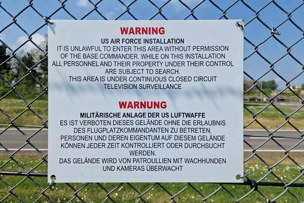
US Air Force base
-
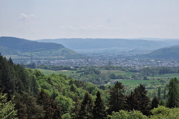
Viewpoint near Schweich
-
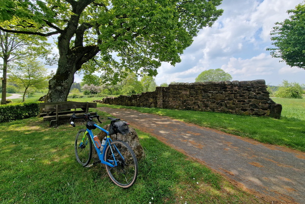
Spätrömische Langmauer, Herforst
-
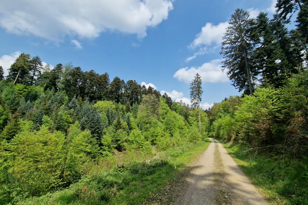
Forest track near Zemmer
-
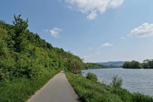
Moselle river
-
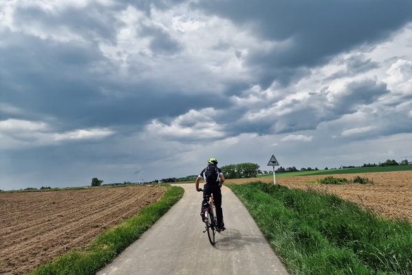
PC 12 near Kahler
-
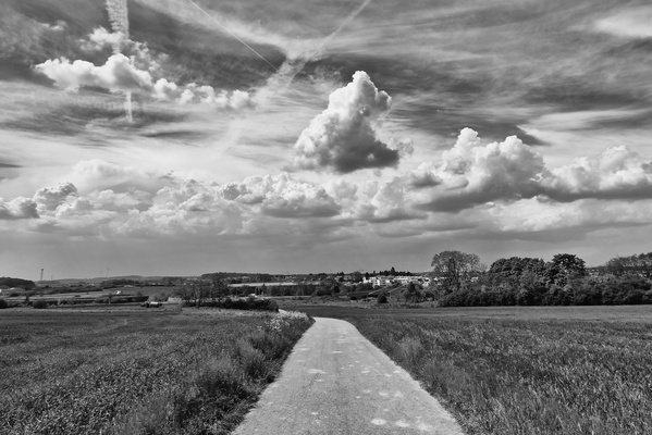
Sky near EE2 Bertrange
-
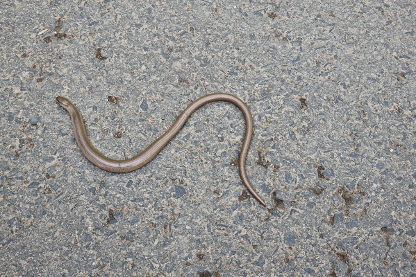
Wildlife
-
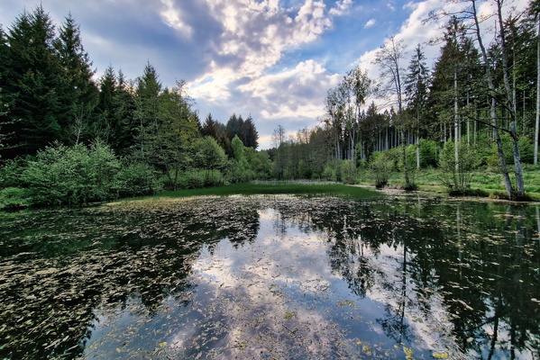
Bois de Colmar-Berg
-
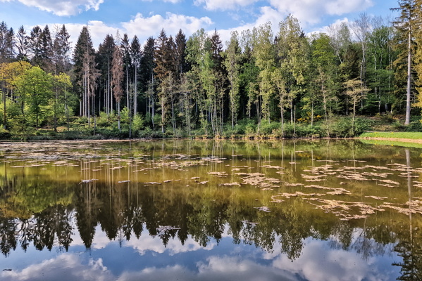
Bois de Colmar-Berg
-
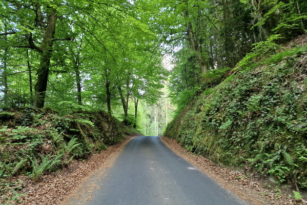
Hill near Hunsdorf
-
Bois de Colmar-Berg
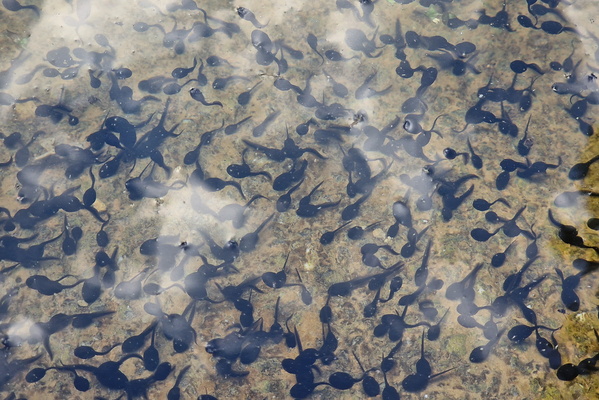
-
Bois de Colmar-Berg
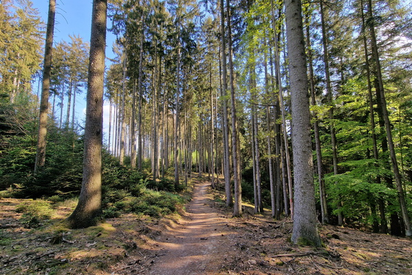
-
Bois de Colmar-Berg
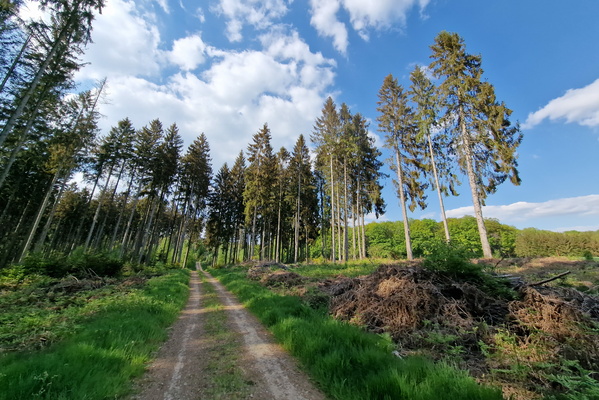
-
Bois de Colmar-Berg
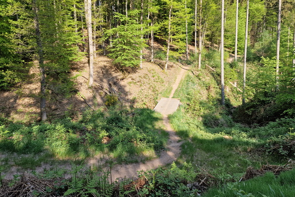
-
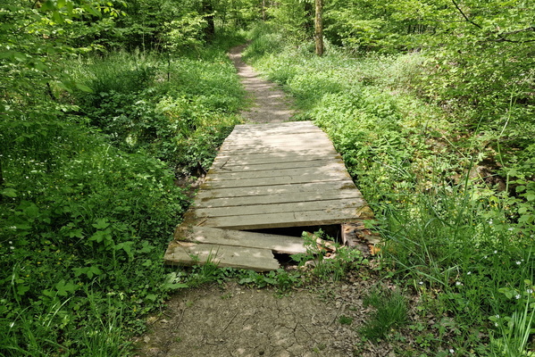
Broken bridge
-
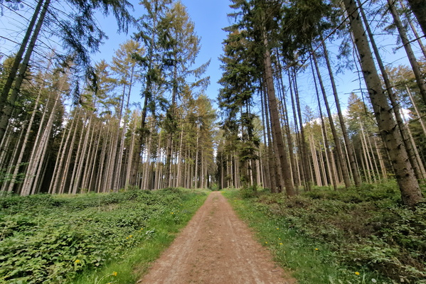
Bois de Colmar-Berg
-
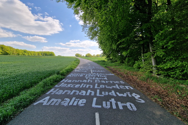
After the race
-
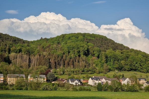
Clouds behind the hill
-
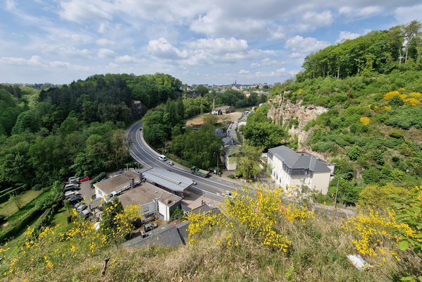
Hammer Dällchen
-
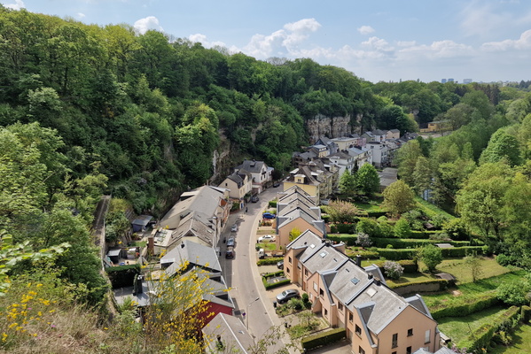
Hammer Dällchen
-
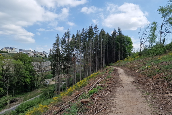
Just above Val de Hamm
-
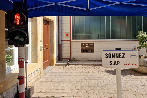
Ring here
-
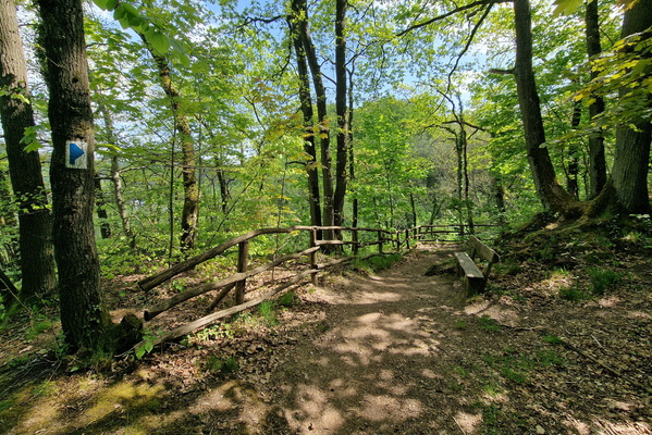
Autopédestre Bonnevoie
-
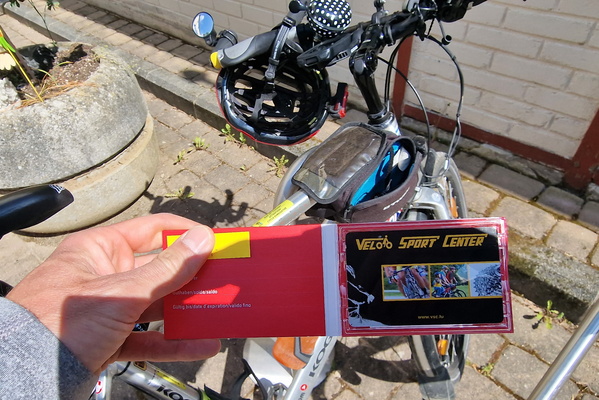
Tour du Doerf price!
-
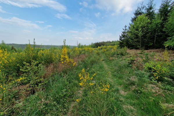
Cut forest in Reckenerwald
-
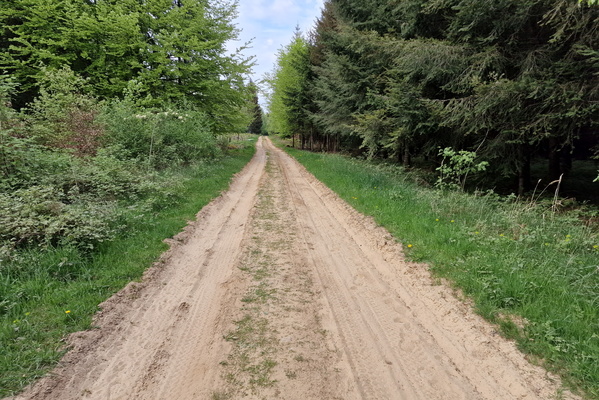
Sand track in Reckenerwald
-
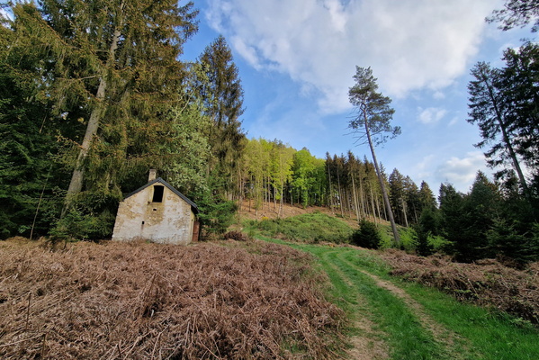
Abandoned house near Brouch
-
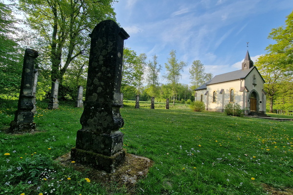
Chapelle Saint-Willibrord, Helperknapp
-
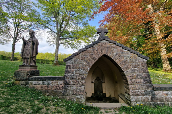
Helperbur
-
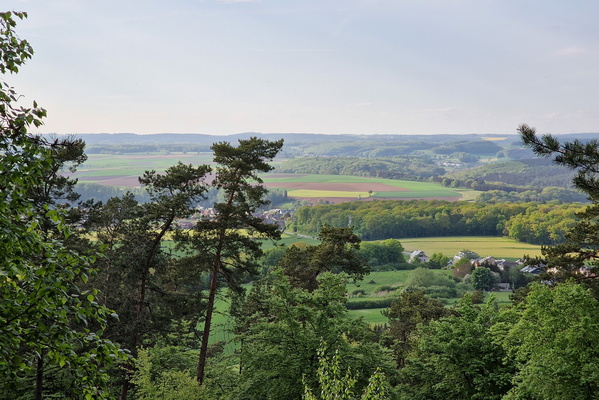
Viewpoint near Grevenknapp
-
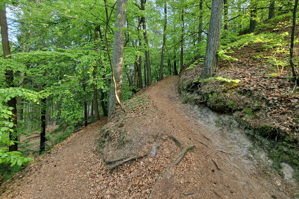
Autopédestre Buschdorf
-
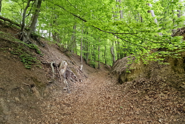
Autopédestre Buschdorf
-
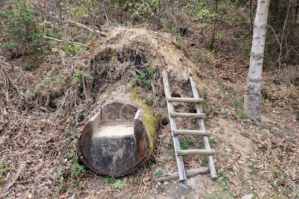
Seat in the forest
-
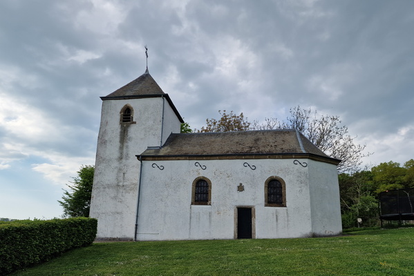
Chapelle Sainte-Anne, Kapweiler
-
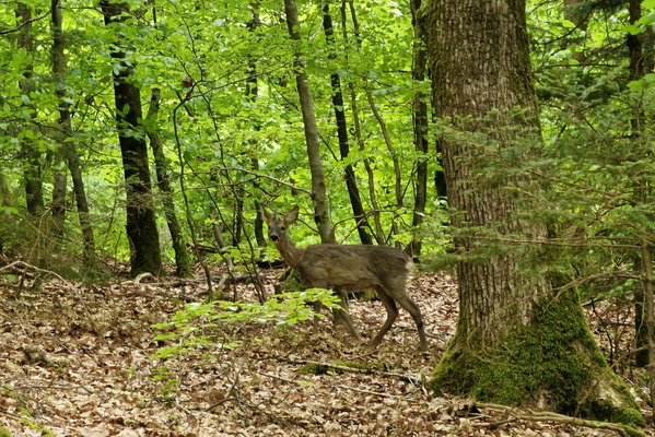
Oh deer!
-
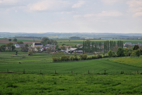
The village of Elvange
-
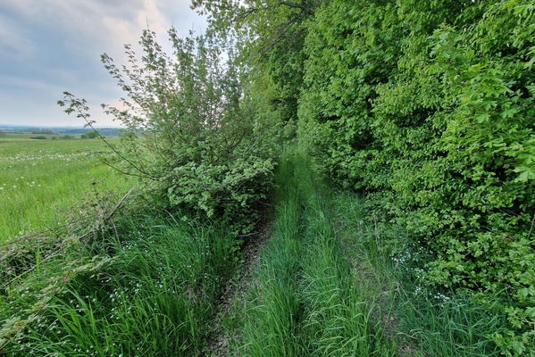
Track near Dalheim
-
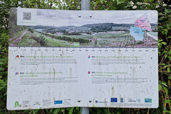
Division of the Fronconian territory information board
-
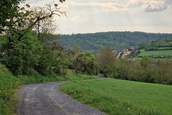
Track near Montenach
-
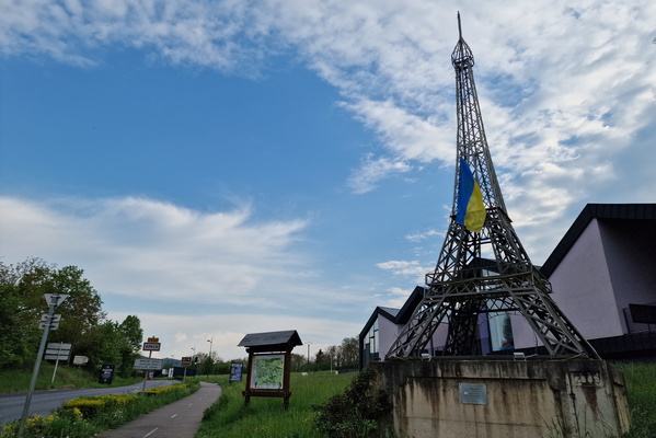
Eiffel tower in Apach
-
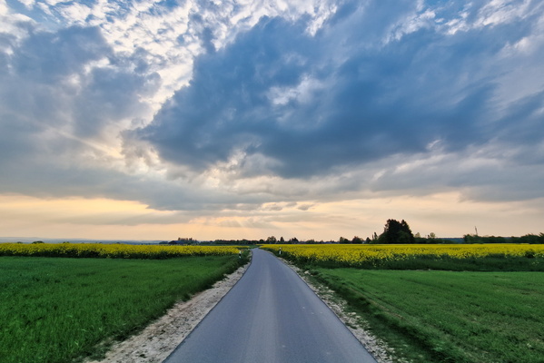
Bike route near Welfrange
-
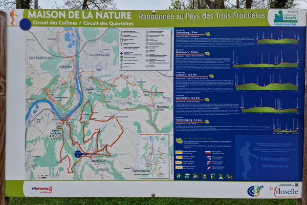
Hiking map near Montenach
-
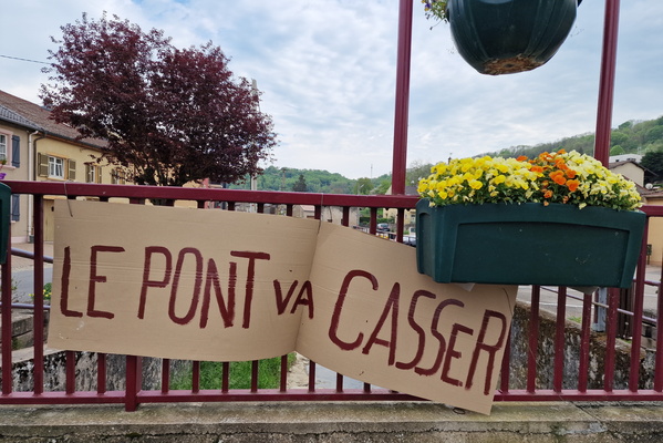
Le pont va casser!
-
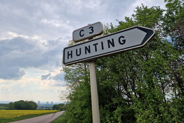
Hunting sign
-
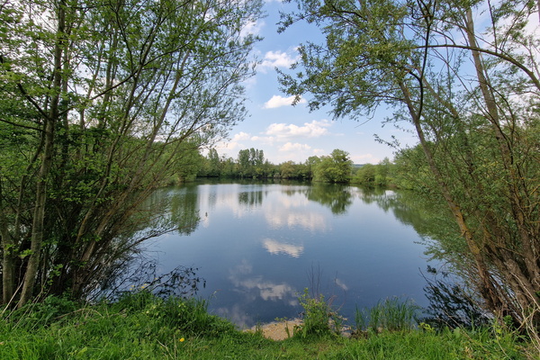
Lake next to Moselle near Rettel
-
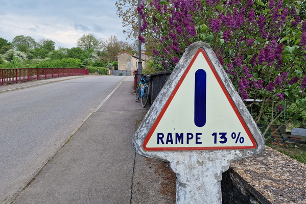
Ramp! warning
-
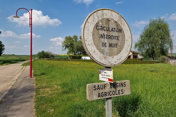
No driving at night!
-
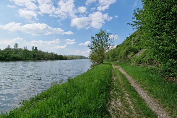
Track along the Moselle river near Berg-sur-Moselle
-
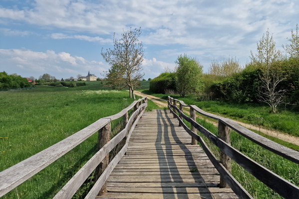
Wooden bridge near Frisange
-
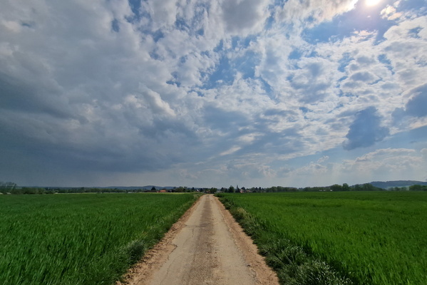
Asphalt track near Gavisse
-
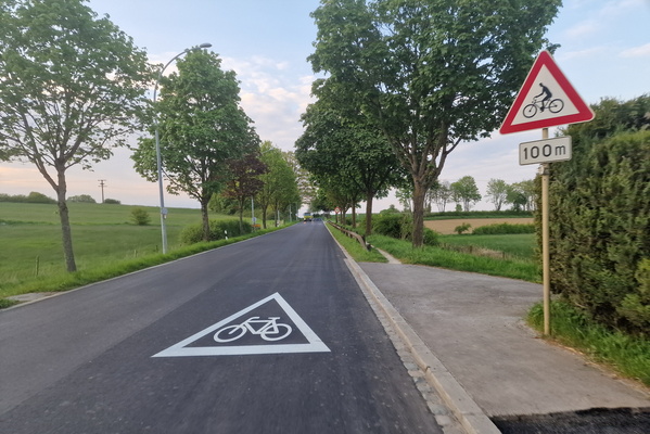
New cycling infra on PC 13...
-
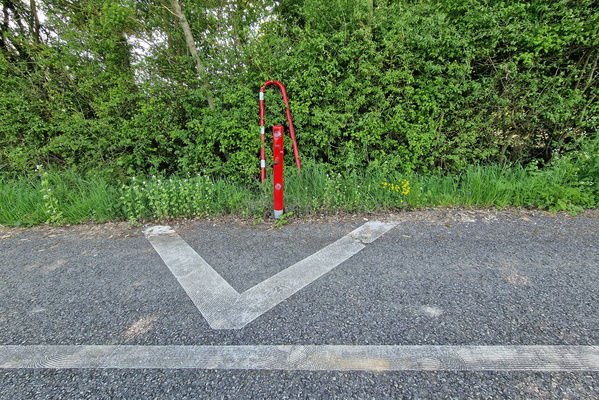
Vandalised swing gate on PC 6 near Hellange
-
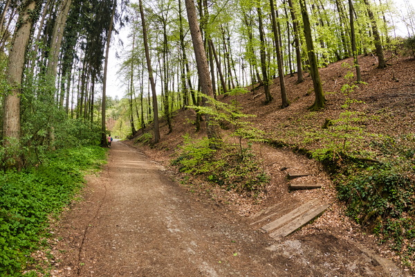
Bambësch
-
Bambësch
-
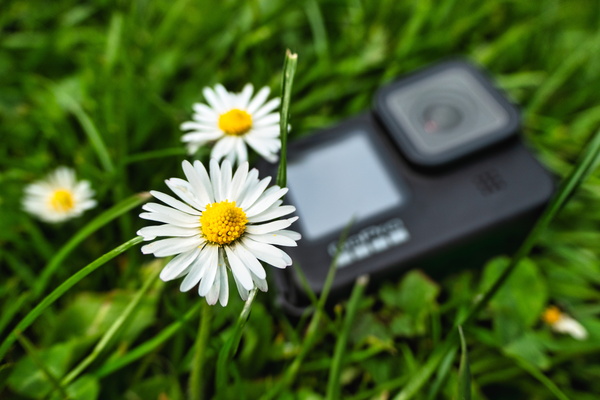
Bambësch
-
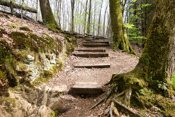
Bambësch
-
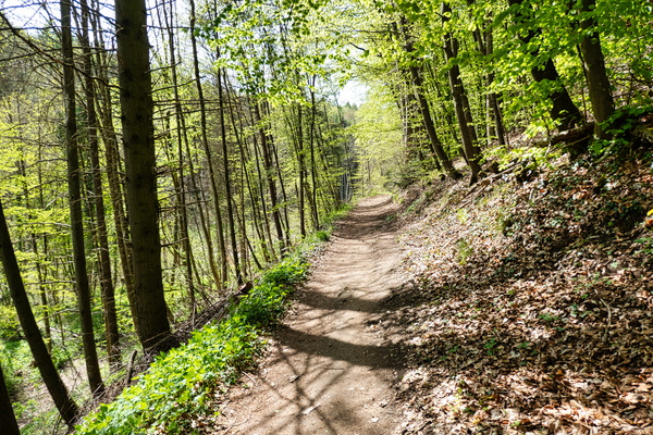
Bambësch
-
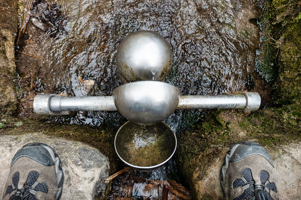
Bambësch
-
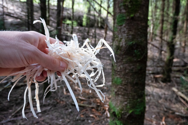
Bambësch
-
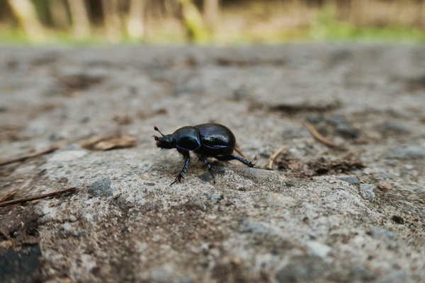
Beetle
-
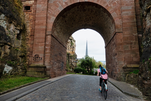
PC 1 with J
-
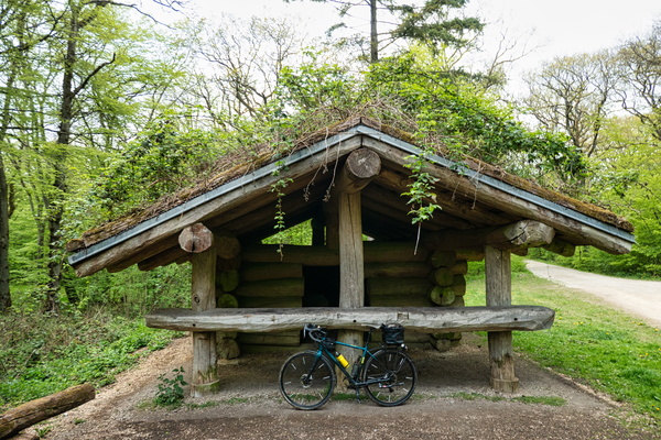
Shelter
-
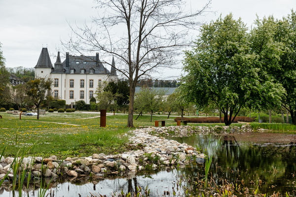
Château de Münsbach
-
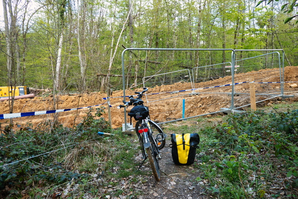
Path closed...
-
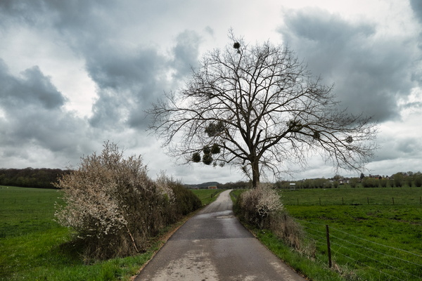
Still wainting for spring...
-
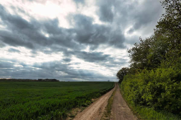
Track near Mondorff
-
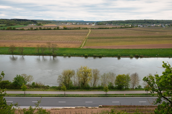
Moselle river
-
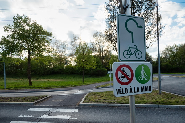
Cycling prohibited on cycleway...
-
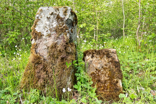
Stones
-
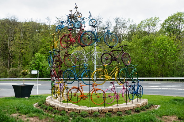
Bikes totem in Mondorf
-
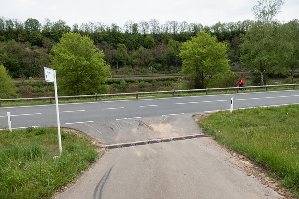
(too) protected cycleway...
-
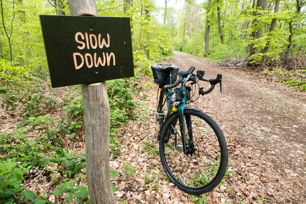
Slow Down
-
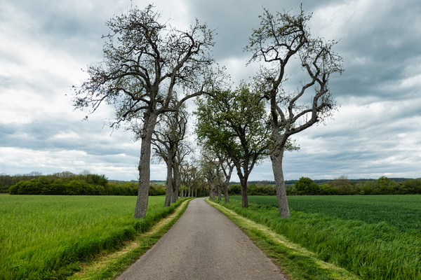
Tree rows near Mondorf-les-Bains
-
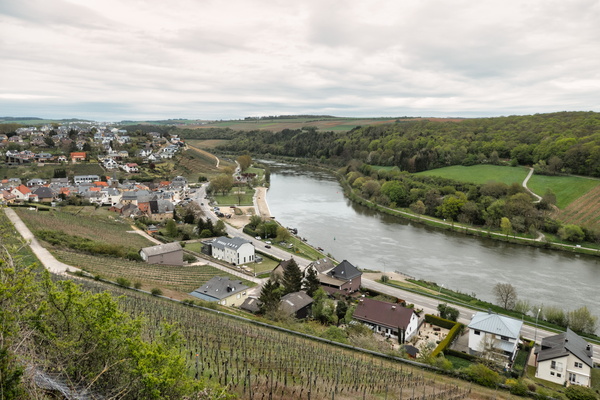
View to the Moselle river in Ehnen
-
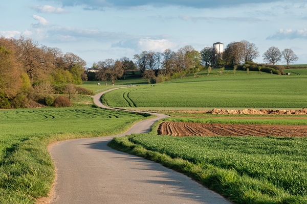
Way to Kleinbettingen water tower
-
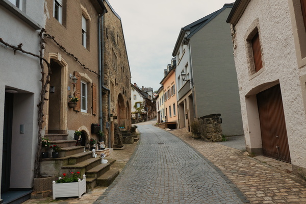
The village of Ehnen
-
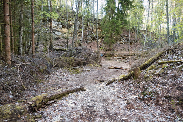
Where forest will meet art
-
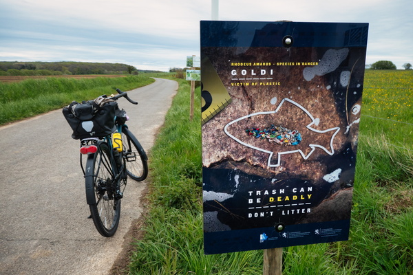
Trash can be deadly
-
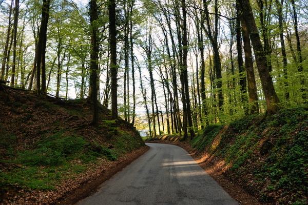
Road to Calmus from Septfontaines
-
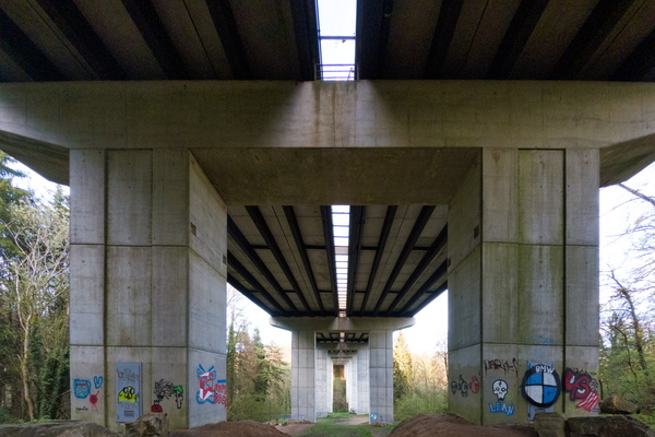
E25 bridge over Mamerdall
-
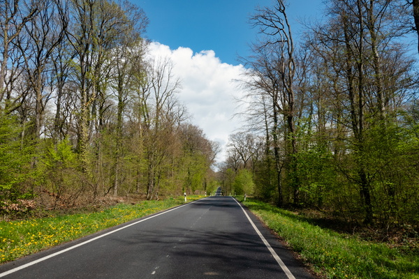
Closed road between Dippach and Mamer
-
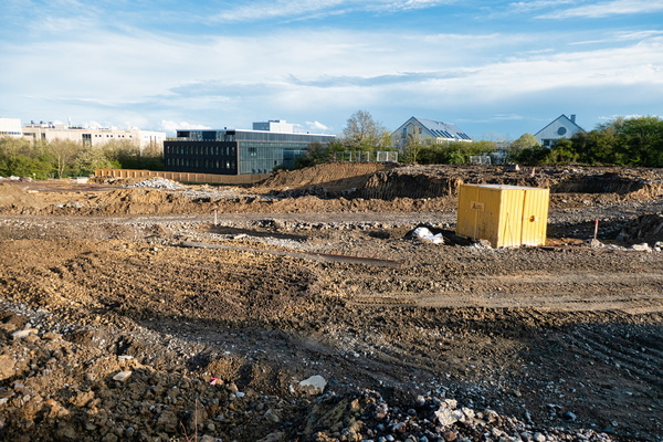
What's left of Tavola/CookUp
-
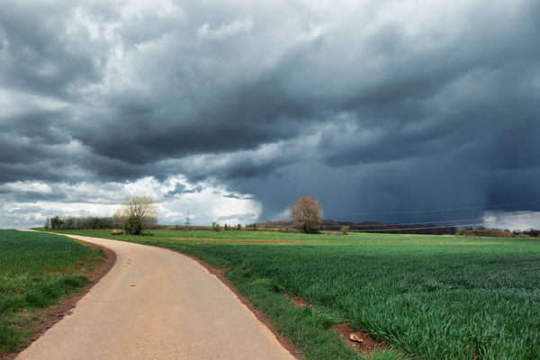
Before the sky fell
-
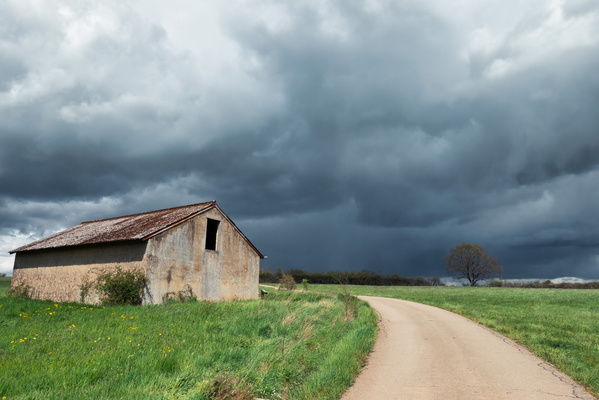
Sky before the rain
-
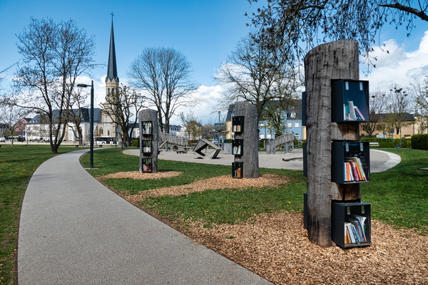
Public bookshelf in Bertrange
-
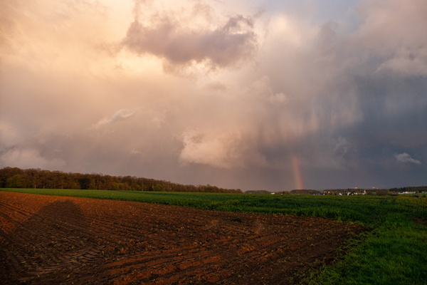
Rainbow
-
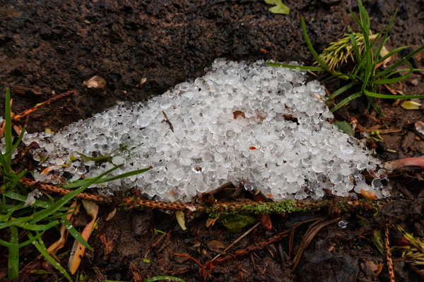
After a hail shower
-
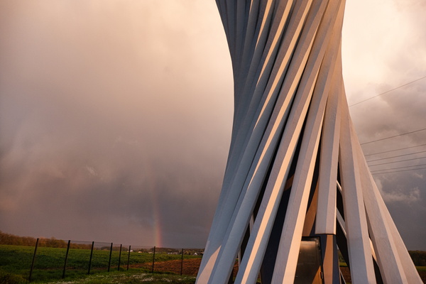
Rainbow near Goeblange
-
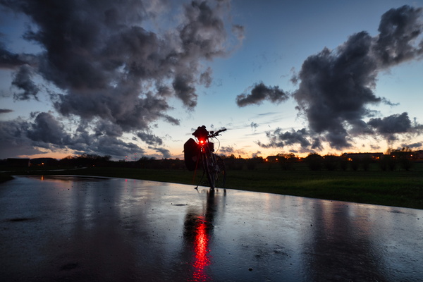
At dusk after the rain
-
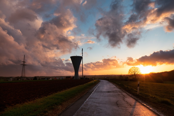
Sunset near Goeblange
-
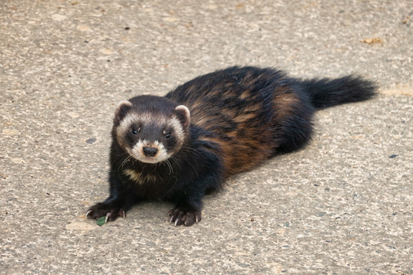
Polecat
-
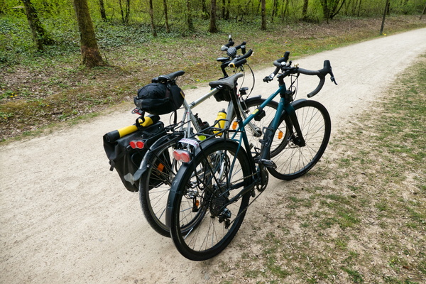
One ride with two bikes
-
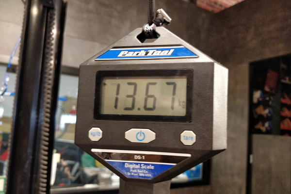
Weight of Sequoia
-
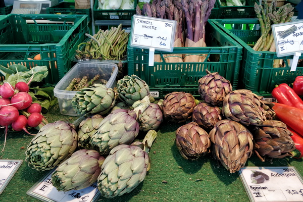
Market
-
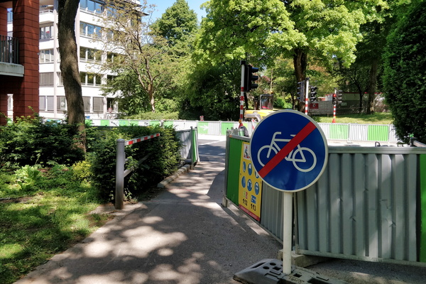
Social distancing
-
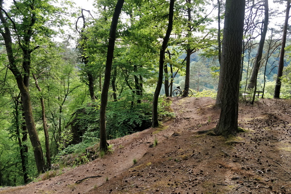
Near Priedigstull viewpoint
-
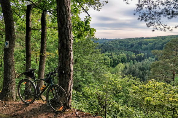
Priedigstull viewpoint
-
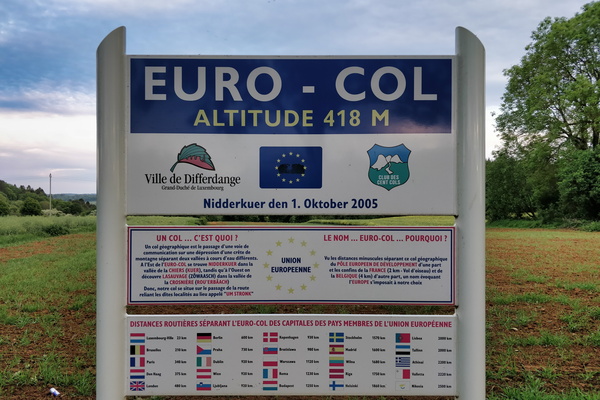
Euro-col
-
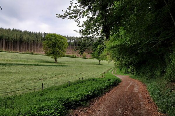
Track next to PC 12 in Hovelange
-
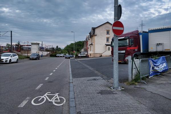
Cycling and NO cycling in Lamadelaine
-
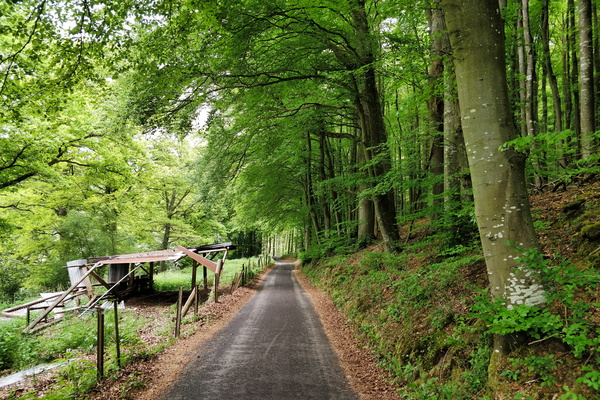
About to reach PC 12 from Hobscheid
-
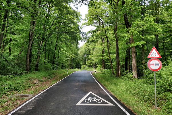
Intersection between CR 301 and PC 17
-
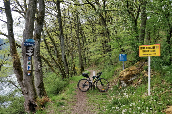
Trail at Misärsbréck
-
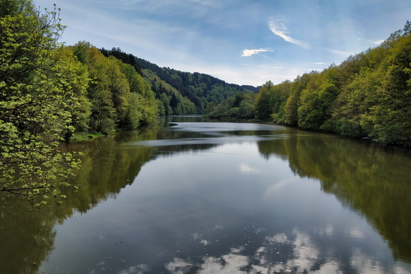
Lac de la Haute-Sûre at Misärsbréck
-
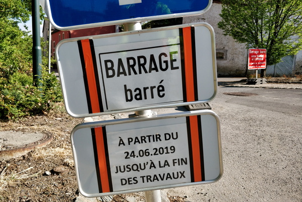
Barrage barré?
-
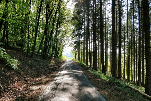
Road CR 316; looks like a cycleway to me
-
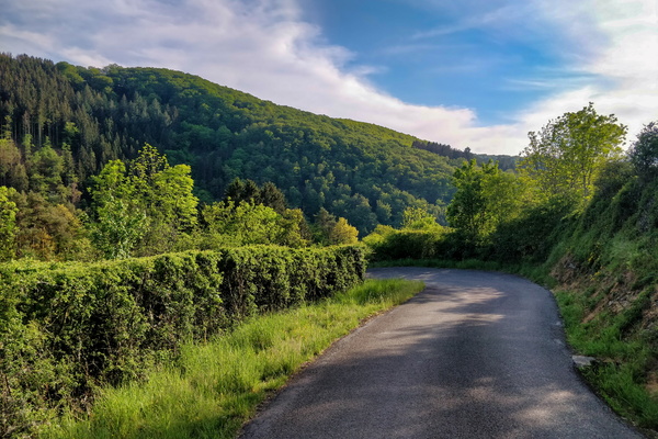
About to dive down to Esch-sur-Sûre
-
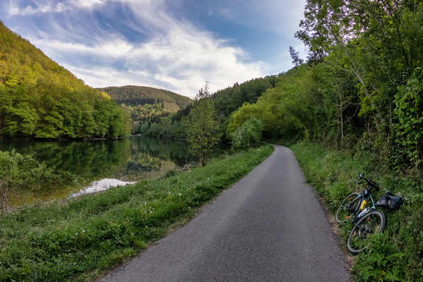
Sauertal between Esch-sur-Sûre and Heiderscheidgrund
-
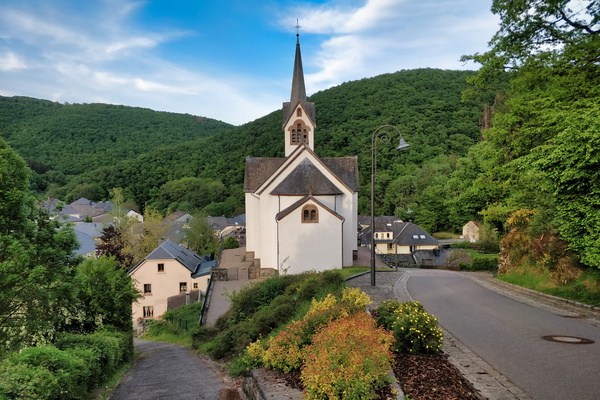
The village of Welscheid
-
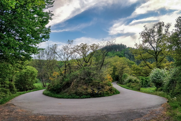
PC 16 near Niederfeulen
-
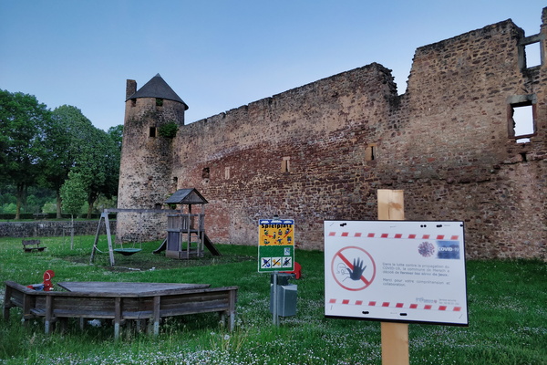
A castle and a closed playground
-
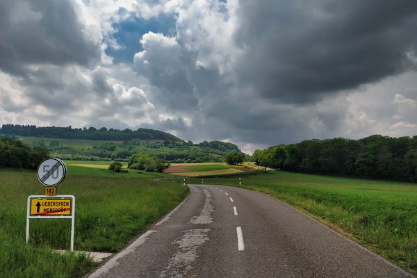
Chasing Cumulonimbus
-
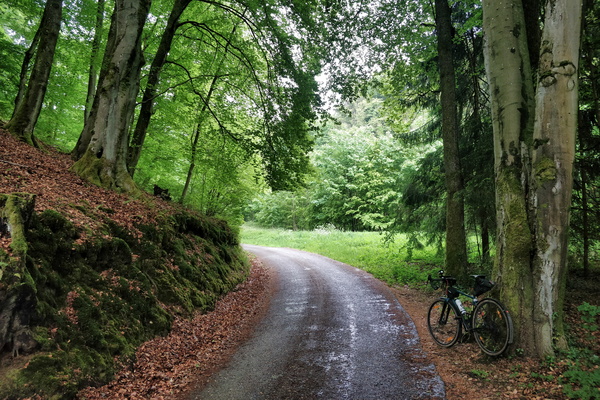
Waiting for the rain to stop
-
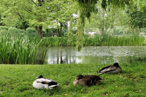
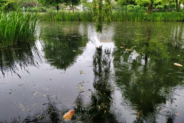
Sleeping ducks in Hesper Park
-
Rain in Hesper Park
-
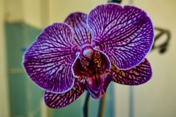
Orchid flower
-
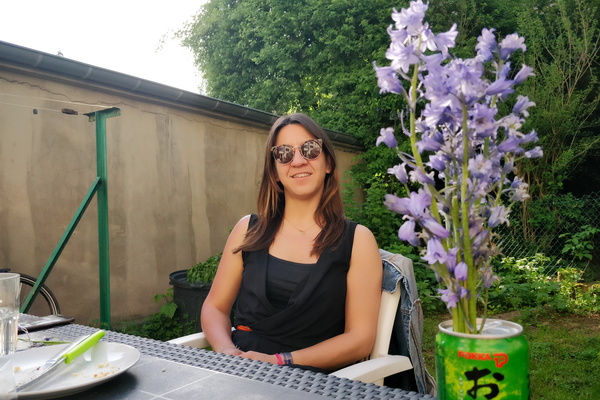
BBQ session
-
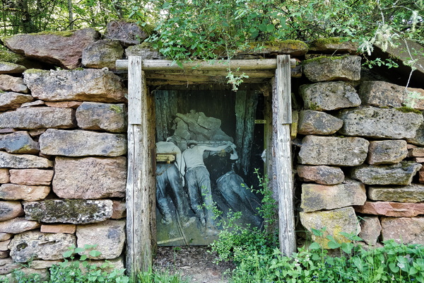
Minette
-
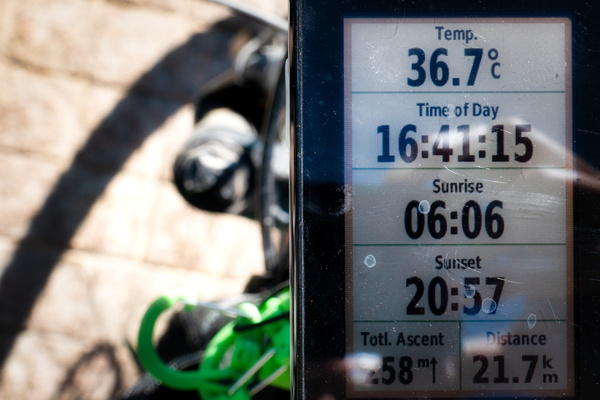
On a hot day
-
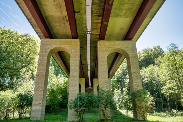
Under the motorway
-
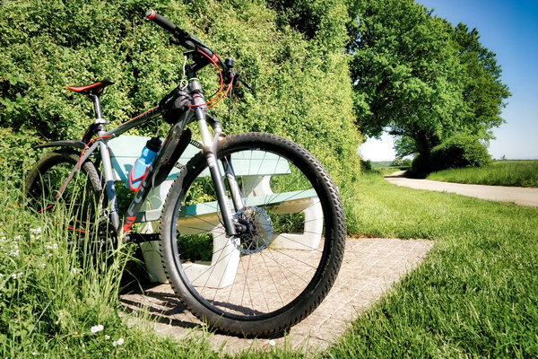
Stop at the bench to study
-
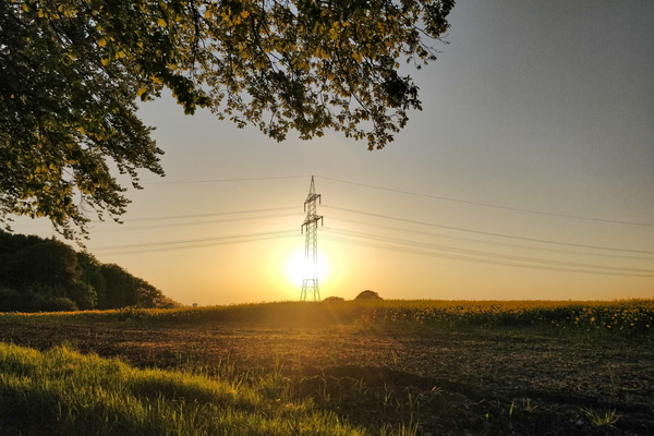
Sunset between Reckange and Leudelange
-
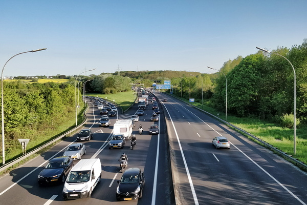
The freedom of driving a car...
-
The usually closed railroad crossing in Capellen

-
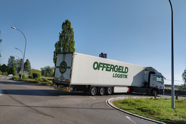
Truck trying its way out from the no-through road
-
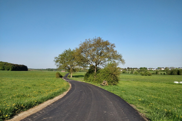
Sunny morning to work
-
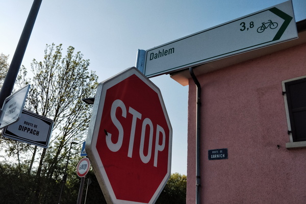
Cycling direction to Dahlem in Holzem
-
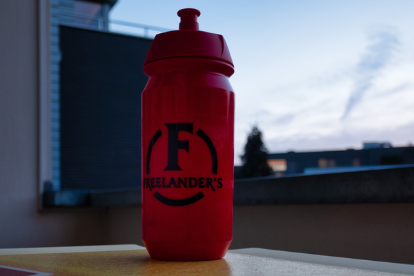
Forgotten item
-
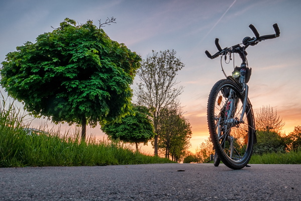
Sunset in Helfent Park
-
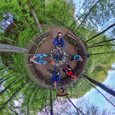
B:loft evening ride
-
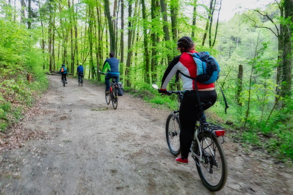
Cycling group in Mamerdal
-
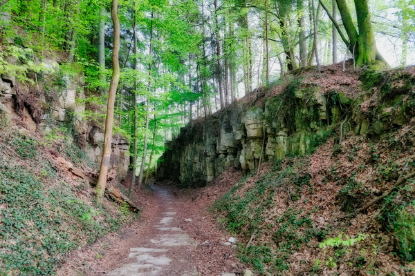
Mamerdal canyon
-
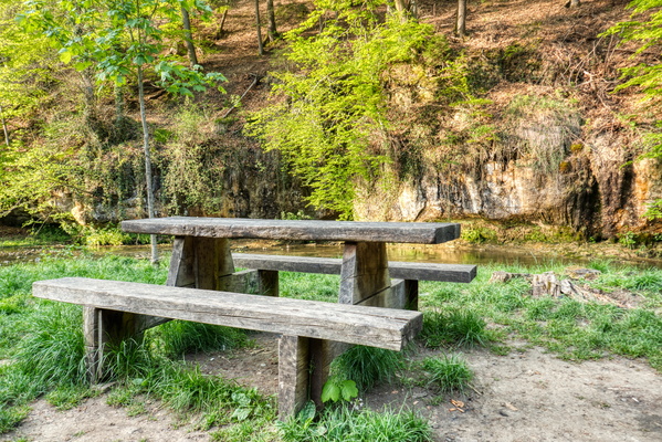
Picnic table in Drëps
-
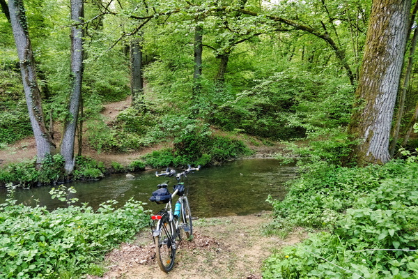
To ford or not to ford?
-
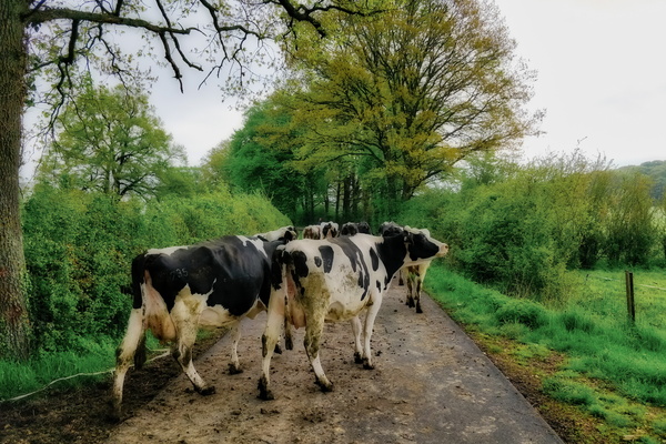
Sharing the road
-
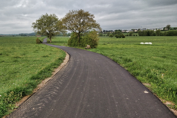
New cyccleway surface is as smooth as a pool board
-
GPS reward after a fast ride back from work

-
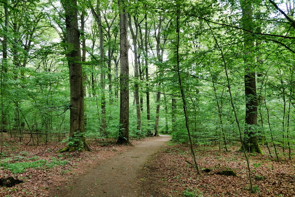
Bike to work in the woods
-
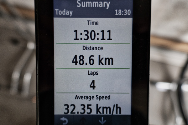
GPS statistics after a fast ride back from work
-
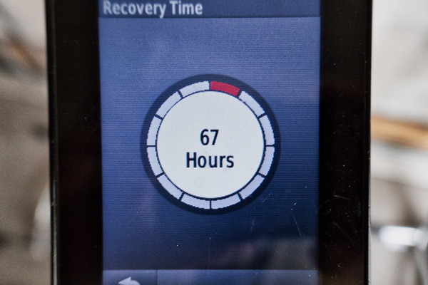
GPS recovery advisor after a fast ride back from work
-
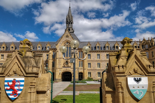
Fondation Pescatore
-
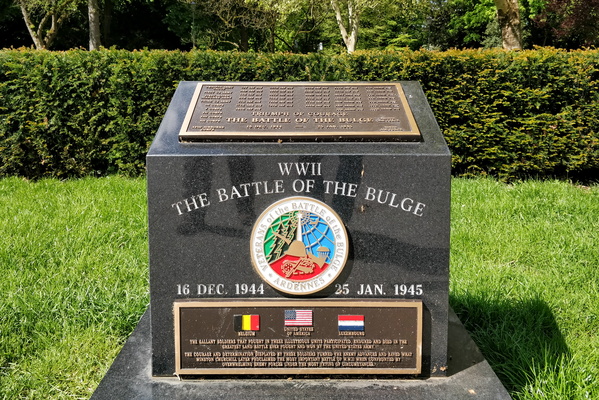
The Battle of the Budge memorial
-
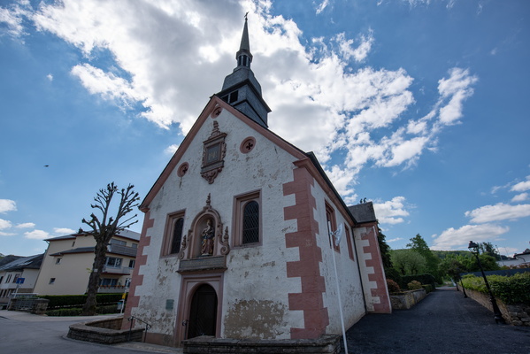
Chapelle Notre Dame, Echternach
-
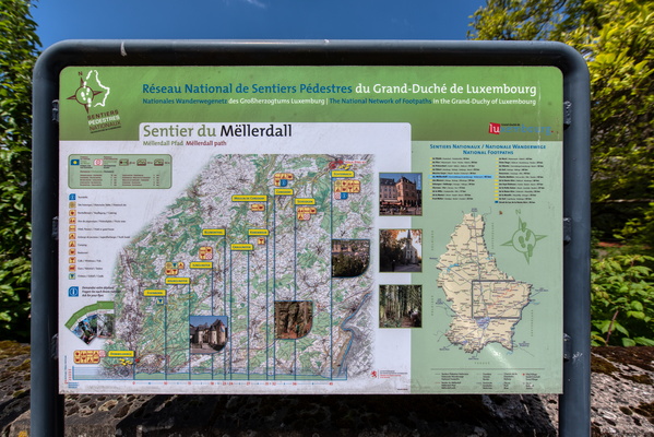
Sentier du Mëllerdall map
-
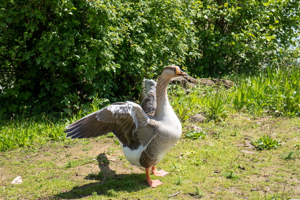
Spreading wings
-
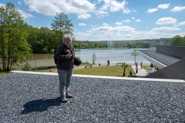
Lac d'Echternach
-
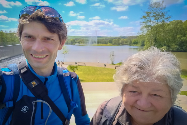
Selfie
-
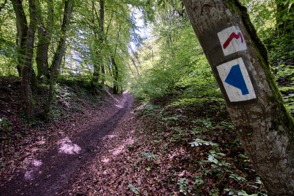
Sentier Autopédestre Echternach in the woods
-
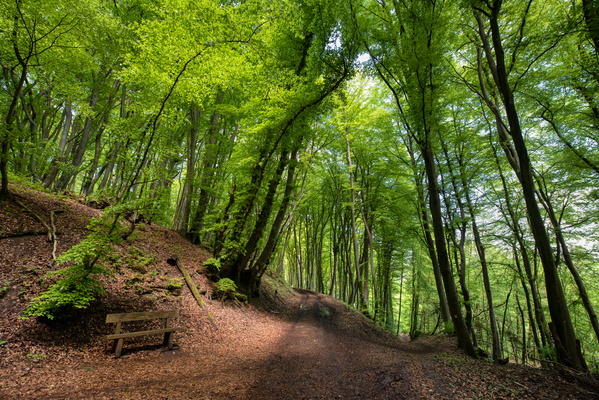
Enlightened forest
-
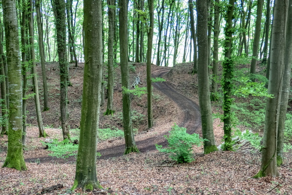
Forest track
-
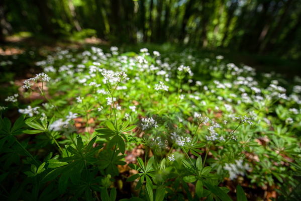
Waldmeister
-
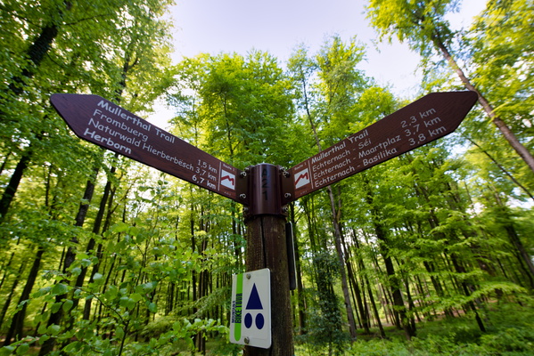
Sentier Autopédestre Echternach in the woods
-
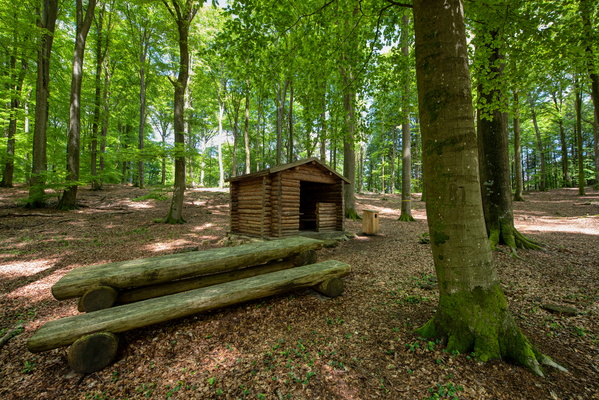
Picnic shelter
-
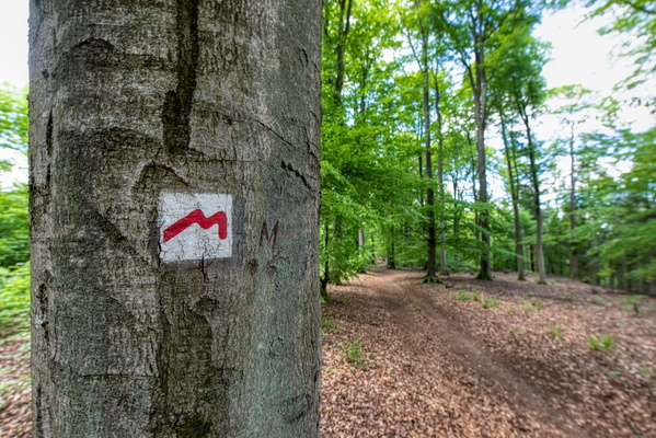
Sentier Autopédestre Echternach in the woods
-
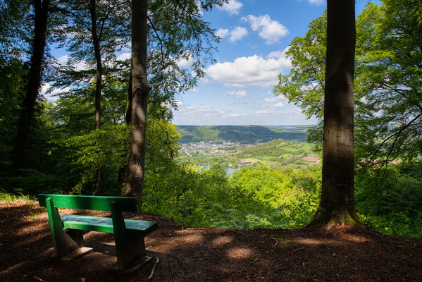
Viewpoint
-
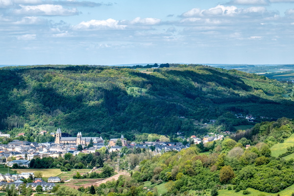
Viewpoint to Echternach
-
Sentier Autopédestre Echternach in the woods
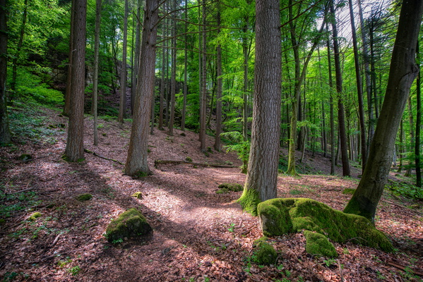
-
Sentier Autopédestre Echternach in the woods
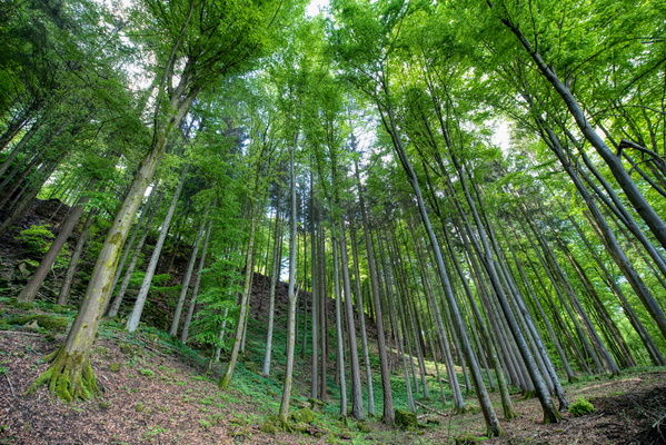
-
Sentier Autopédestre Echternach in the woods
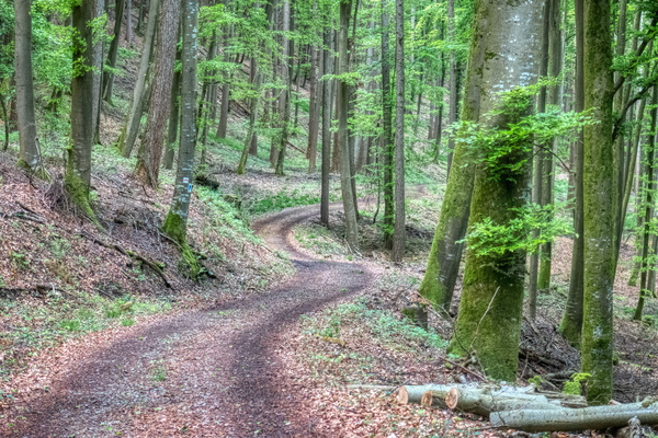
-
Sentier Autopédestre Echternach in the woods
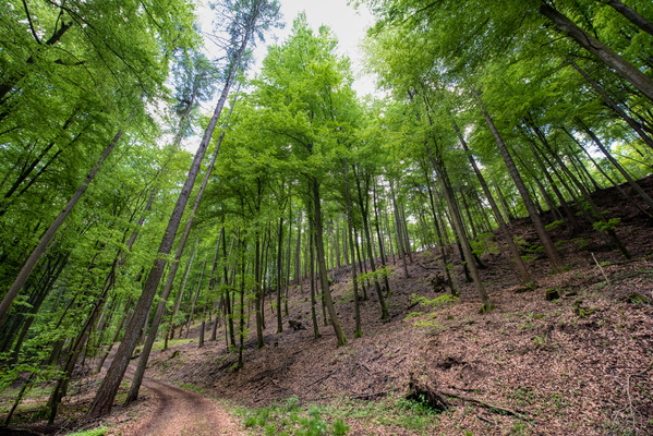
-
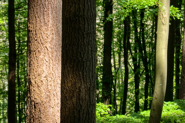
Trunks contrast
-
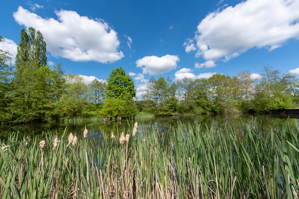
Lac d'Echternach
-
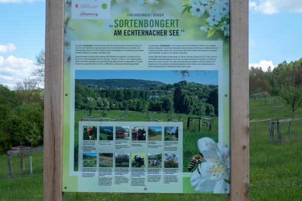
Sortenbongert information board
-
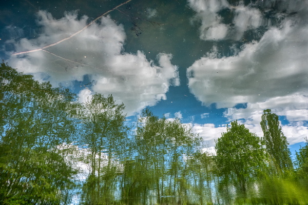
Reflections in the water
-
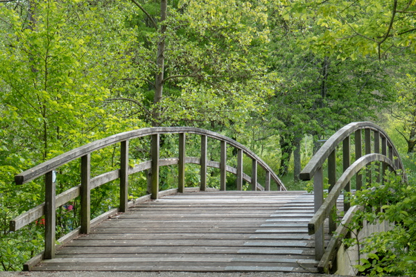
Wooden bridge
-
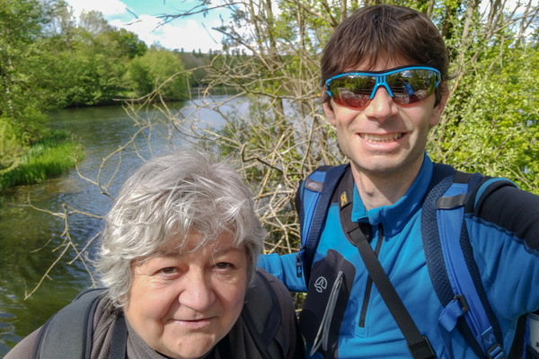
Selfie
-
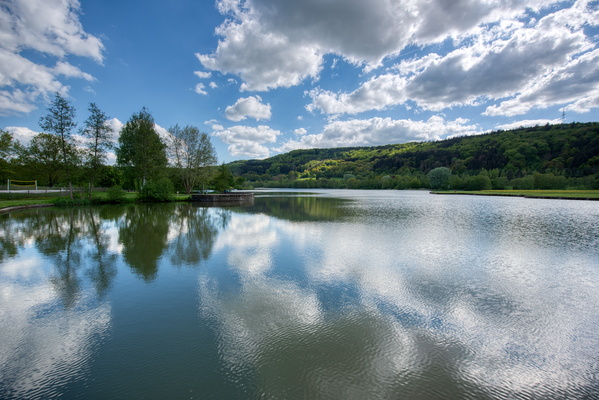
Lac d'Echternach
-
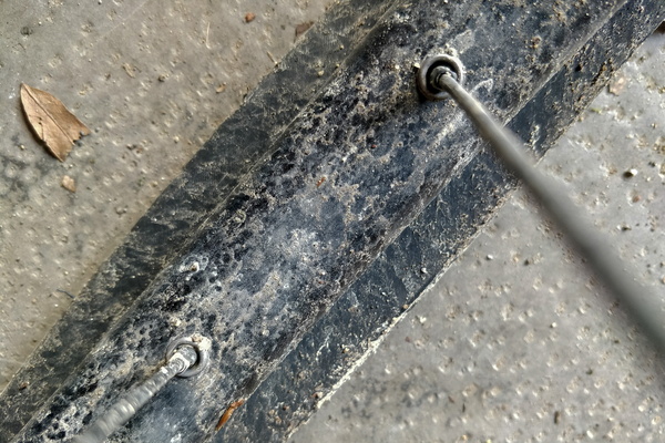
Bike repair and cleaning required
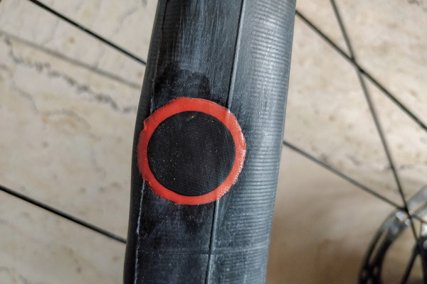
-
Bike repair and cleaning required
-
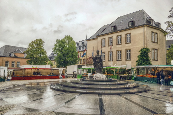
Rain at the market
-
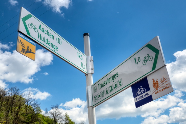
Cycling directions in Troisvierges
-
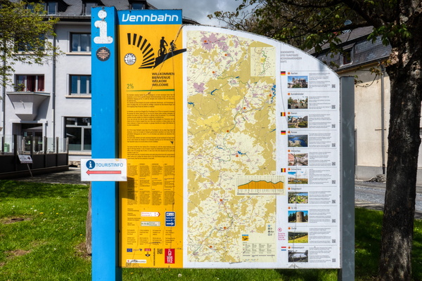
Vennbahn information board in Troisvierges
-
Vennbahn and sentier des passeurs

-
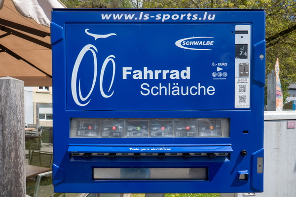
Inner tube vending machine
-
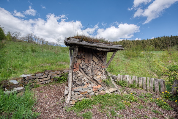
Insect hotel
-
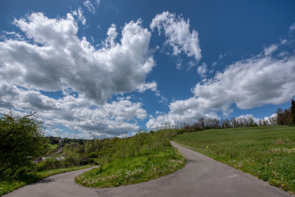
Short climb
-
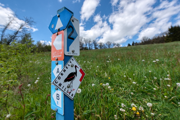
Hiking routes
-
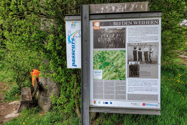
Sentier des passeurs information board
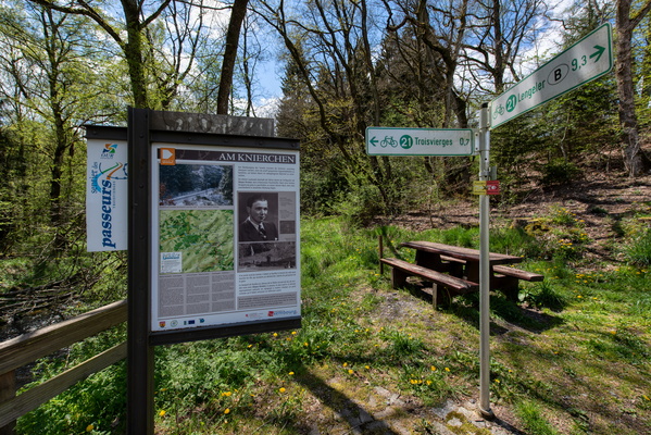
-
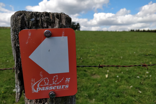
Sentier des passeurs logo
-
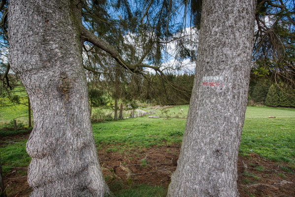
Hike sentier des passeurs
-
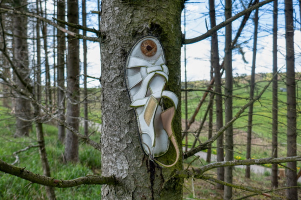
Hike sentier des passeurs
-
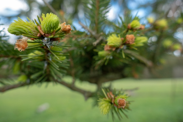
Spring
-
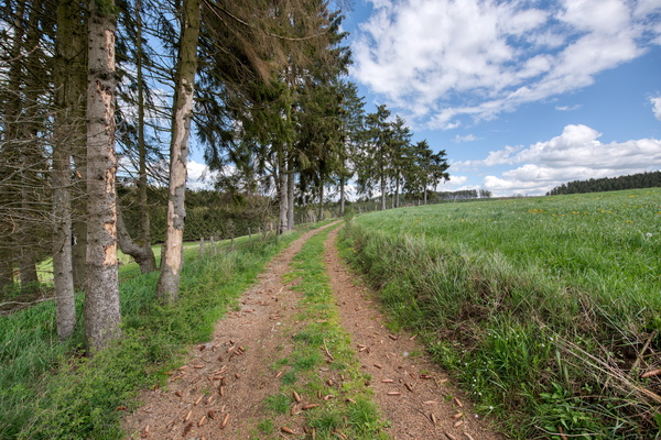
Hike sentier des passeurs
-
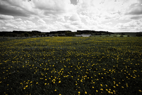
Hike sentier des passeurs
-
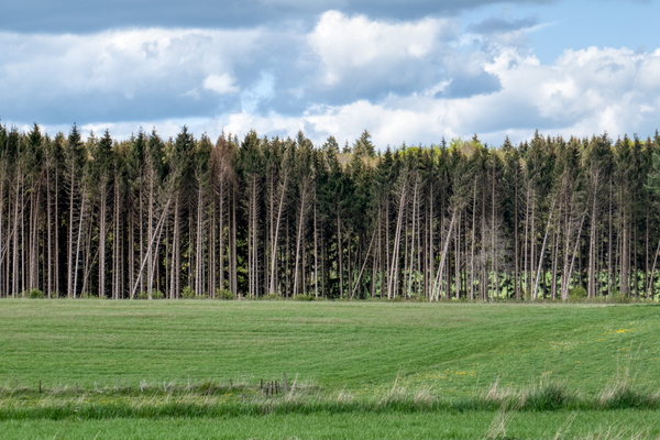
Hike sentier des passeurs
-
Hike sentier des passeurs
-
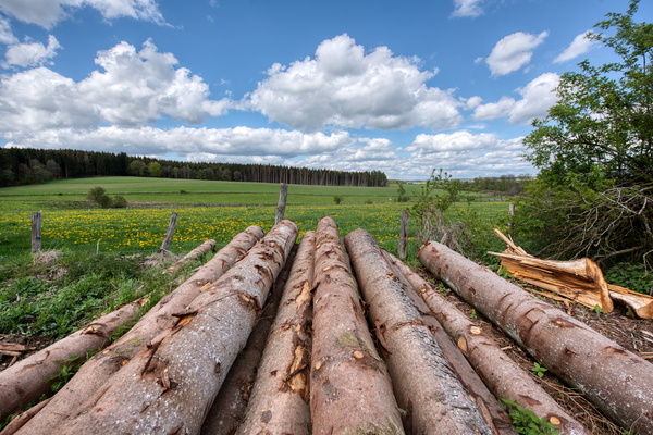
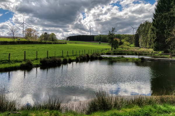
Hike sentier des passeurs
-
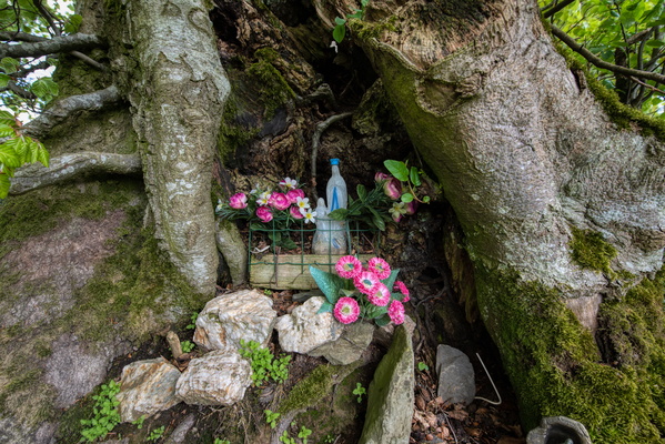
Bondieuserie
-
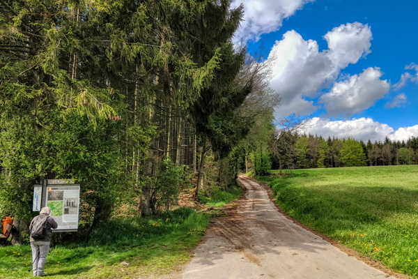
Sentier des passeurs information board
-
Sentier des passeurs information board
-
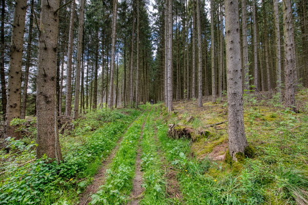
Hike sentier des passeurs
-
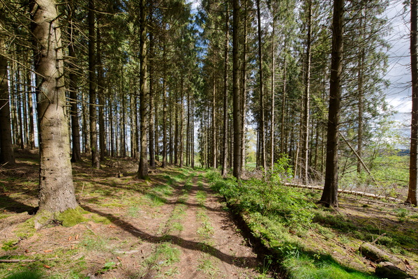
Hike sentier des passeurs
-
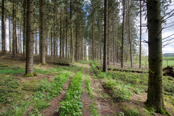
Hike sentier des passeurs
-
Hike sentier des passeurs
-
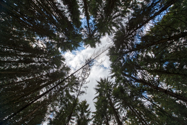
Hike sentier des passeurs
-
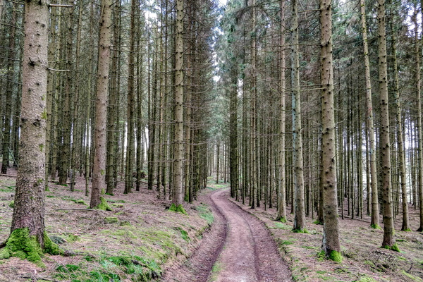
Hike sentier des passeurs
-
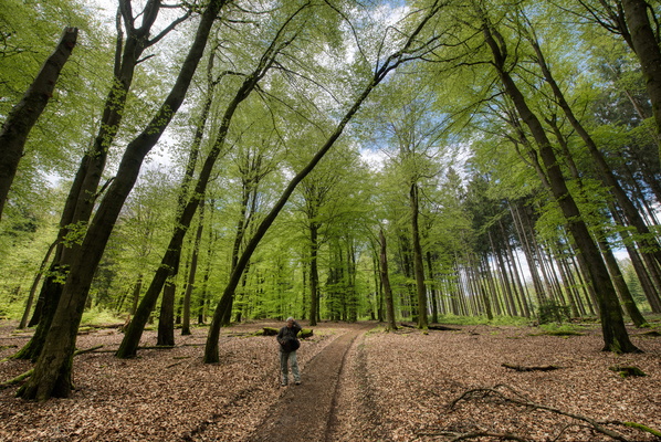
Hike sentier des passeurs
-
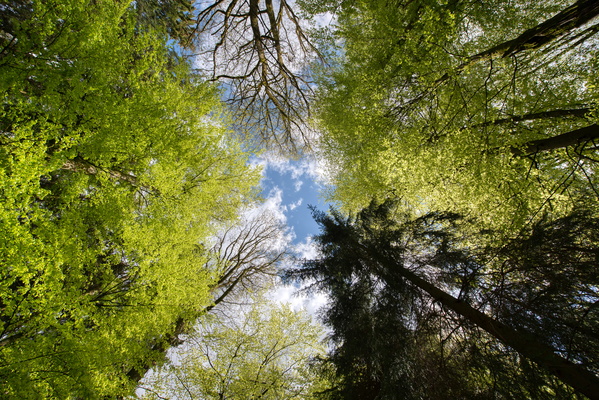
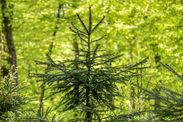
Hike sentier des passeurs
-
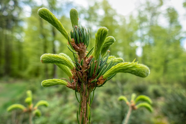
Hike sentier des passeurs
-
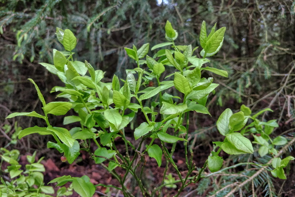
Hike sentier des passeurs
-
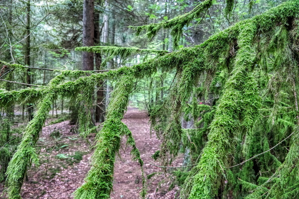
Hike sentier des passeurs
-
Hike sentier des passeurs
