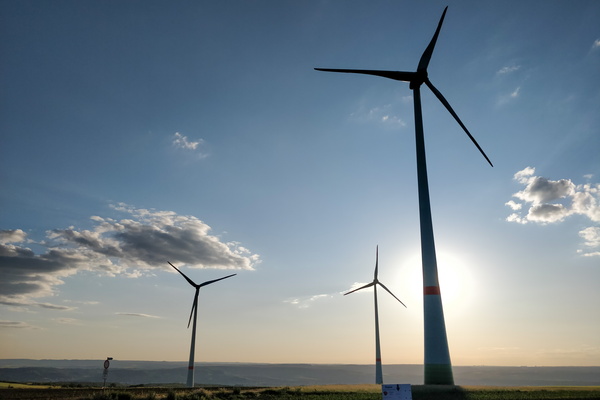
-
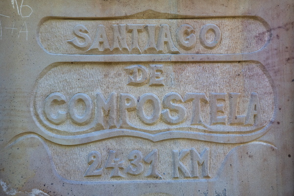
2431 km to Santiago de Compostela
-
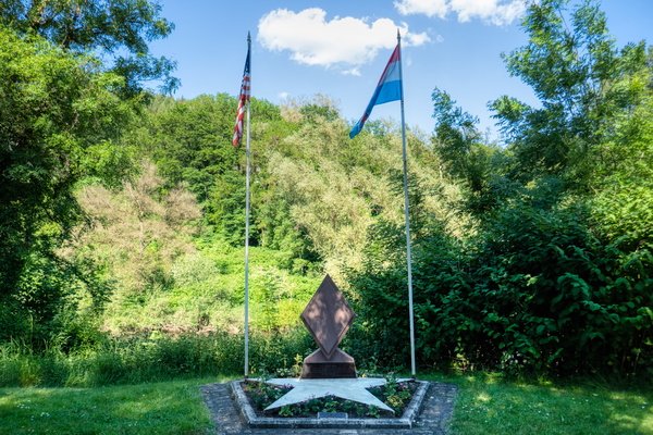
5th U.S. Infantry Division memorial
-
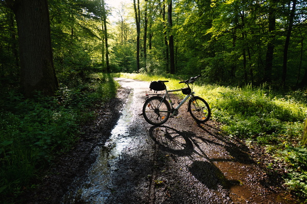
A bit of sun after the rain
-
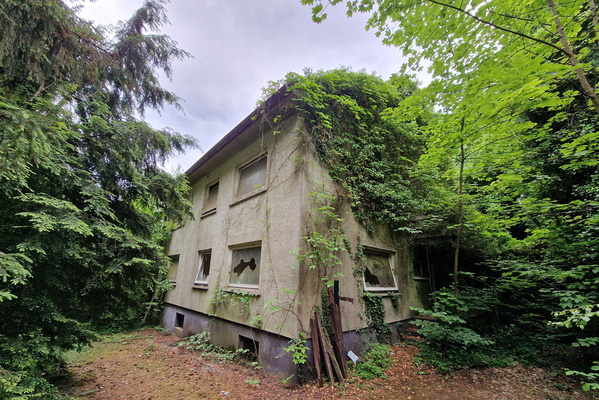
Abandoned building near the airport
-
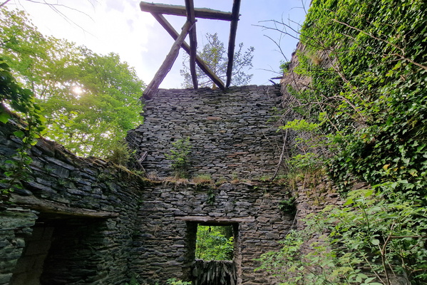
Abandoned house near Puits des Ardoisières Angelsberg
-
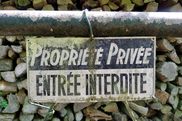
Access restricted to the Sauer river source
-
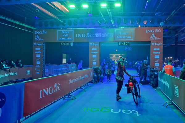
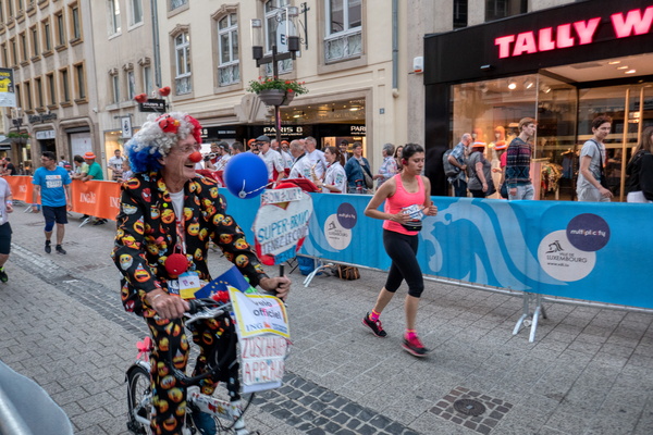
Accidental arrival at ING Night Marathon
-
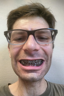
Adulthood with Braces: Braced for the Future
-
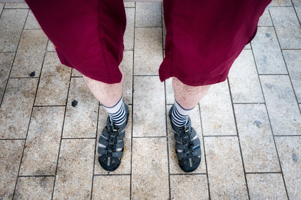
After the mixture of rain and hail
-
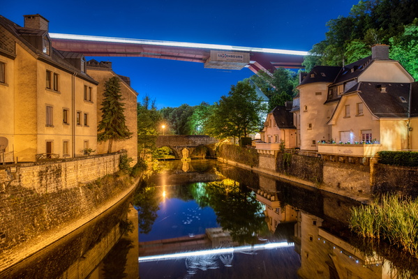
Alzette river
-
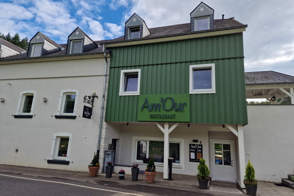
Am'Our: what a cute name
-
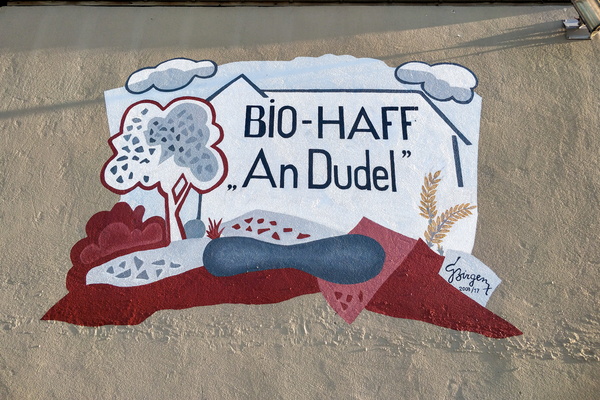
An Dudel organic farm mural
-
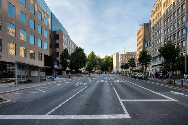
An empty boulevard
-
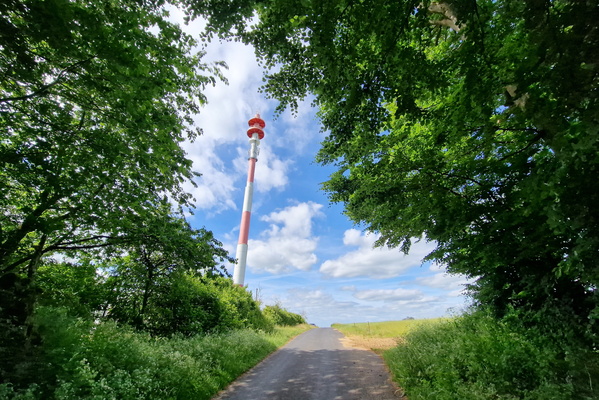
Antenna near Blaschette
-
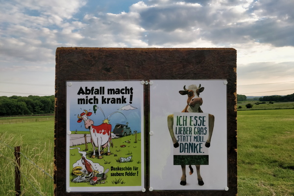
Anti-littering campain
-
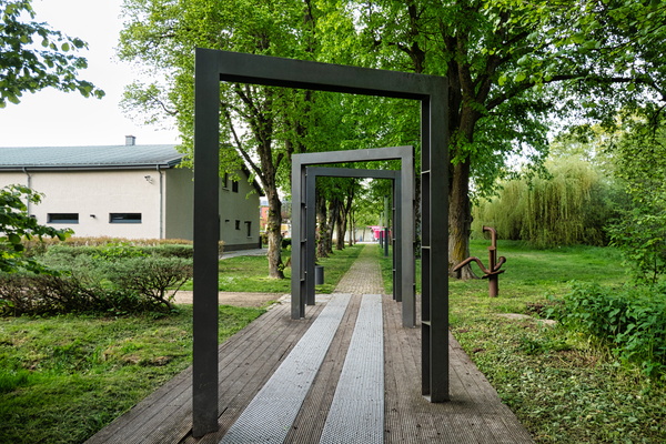
Arches in Bissen
-
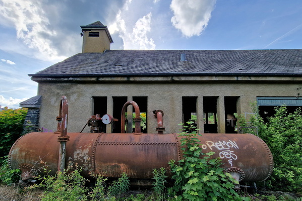
Ardoisière
-
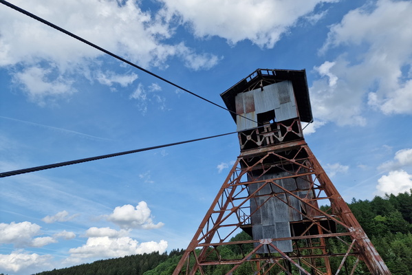
Ardoisière
-
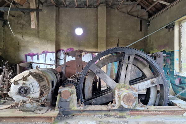
Ardoisière
-
Ardoisière
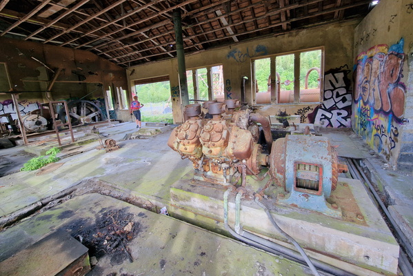
-
Ardoisière
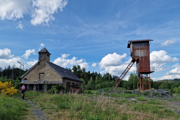
-
Arena near Bech
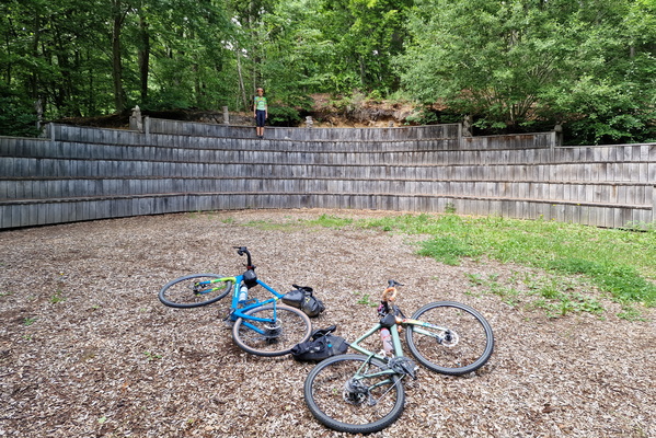
-
Asphalt track in Kehlen
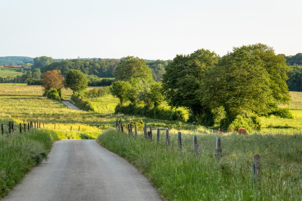
-
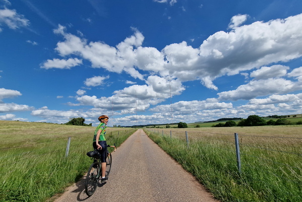
Asphalt track near Beidweiler
-
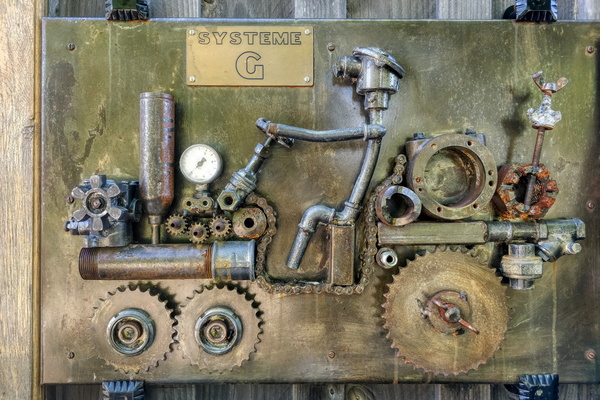
At d'Millen Beckerich
-
Autopédestre Binsfeld

-
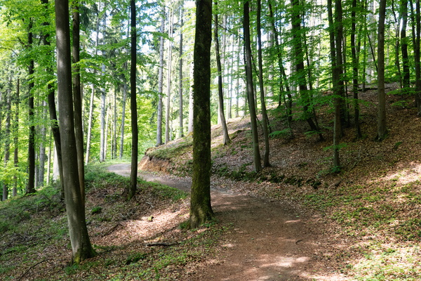
Autopédestre Bridel
-
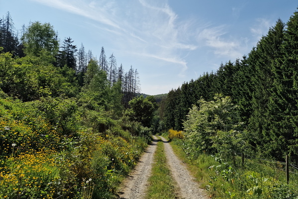
Autopédestre Holtz
-
Autopédestre Troisvierges 1 near Sassel

-
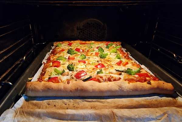
Baking pizza
-
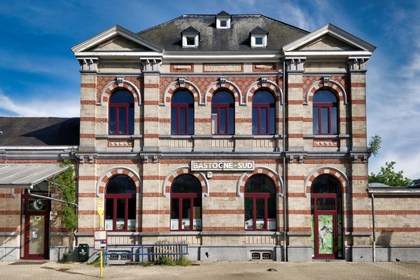
Bastogne-Sud station
-
Beaufort castle

-
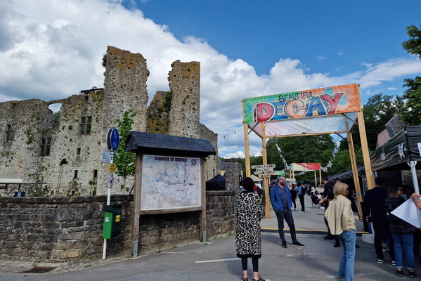
Beautiful Decay event in Koerich
-
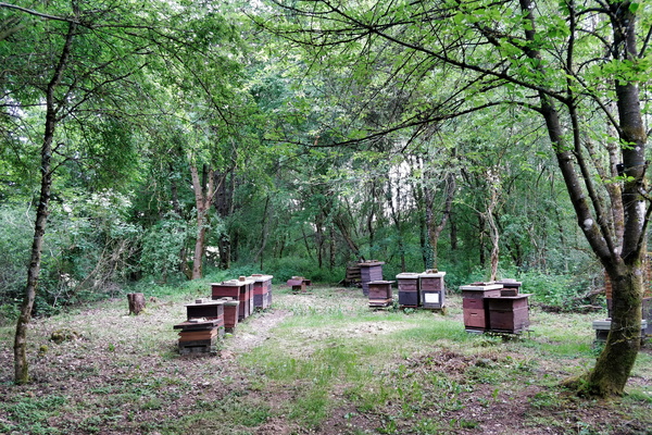
Beehives
-
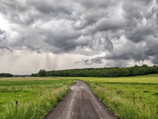
Before the shower
-
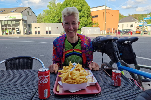
Belgian fries
-
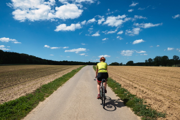
Between Merl and Leudelange
-
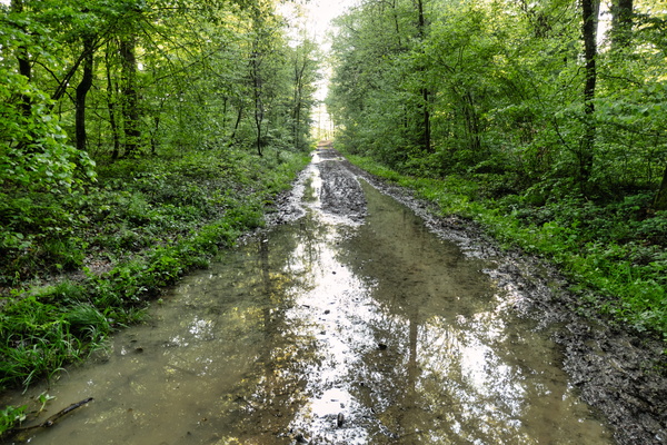
Big puddle
-
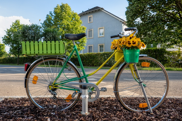
Bike in Goetzingen
-
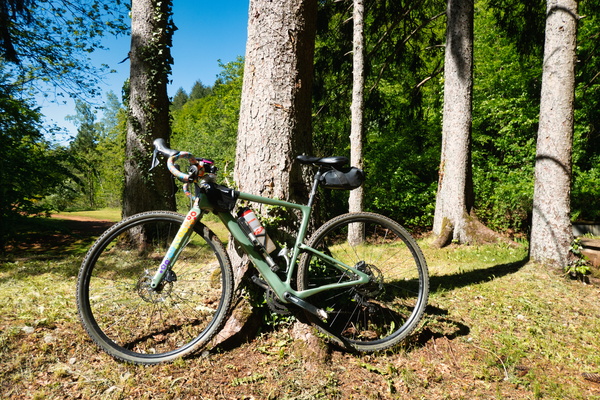
Bike is resting too
-
Bike route between Étalle and Saint-Léger

-
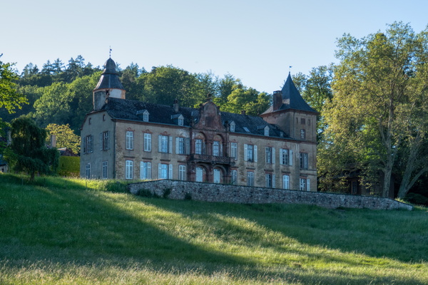
Birtrange castle
-
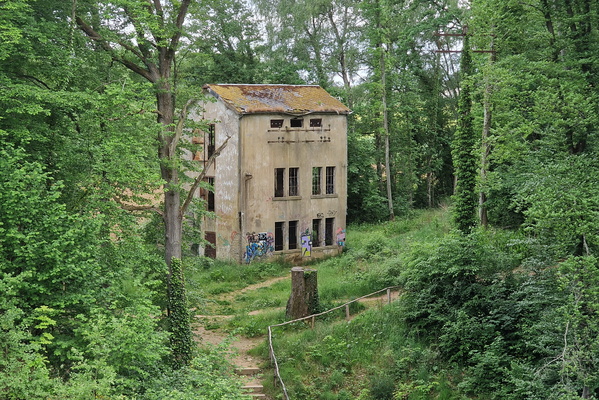
Border house near Steinfort
-
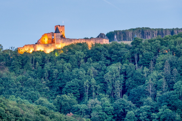
Bourscheid castle
-
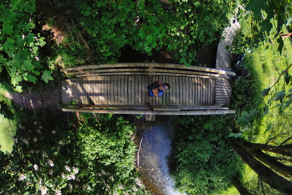
Bridge on Nothomb creek
-
Broken tin, no problem!

-
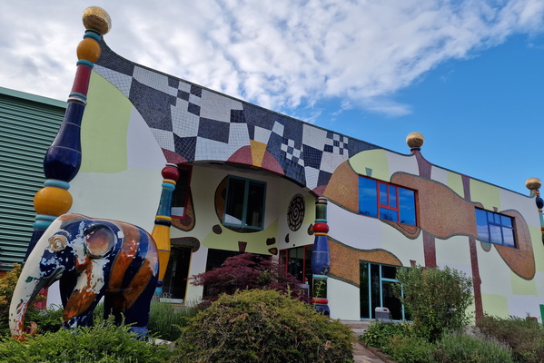
Building of tiles
-
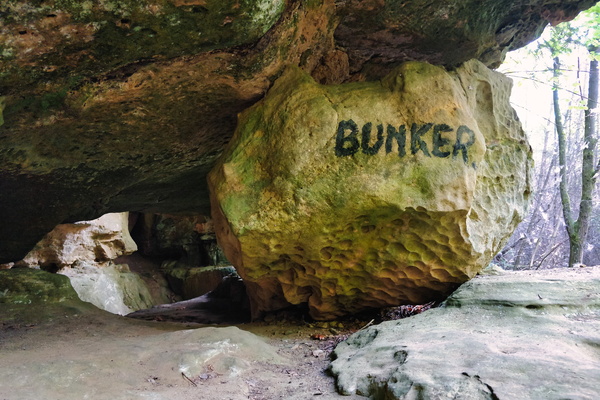
Bunker
-
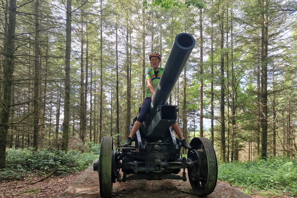
Canon near Houfels
-
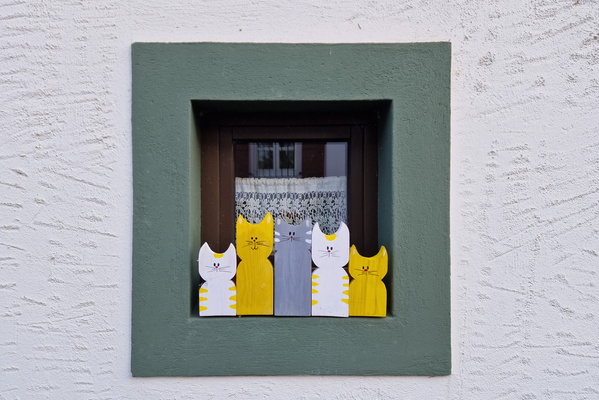
Cats window
-
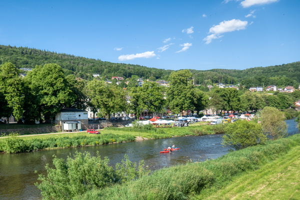
Cayaking
-
Chapel in Mont Saint-Jean

-
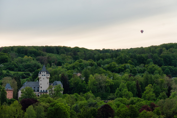
Château de Colmar-Berg
-
Chaussée Romaine

-
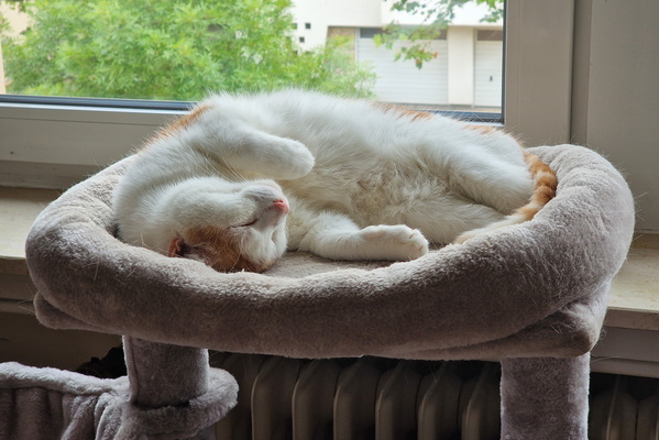
Chilling Timmy
-
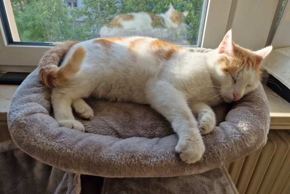
Chillout cat
-
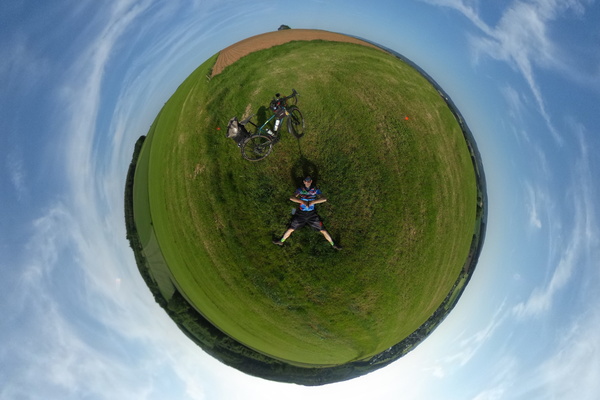
Chillout in the field
-
Cinqfontaines

-
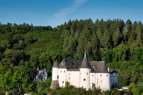
Clervaux castle
-
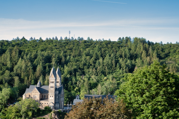
Clervaux church
-
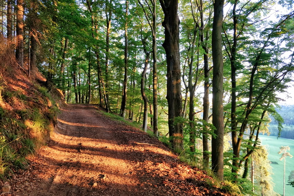
Climbing above Mamerdal
-
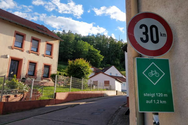
Climbing information sign
-
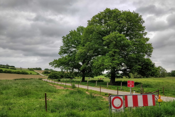
Closure
-
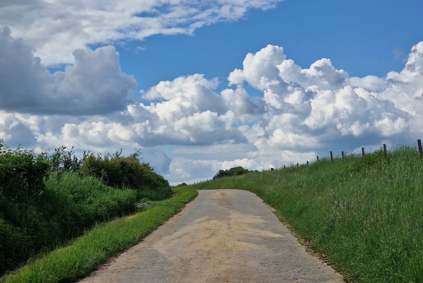
Clouds near Autelbas
-
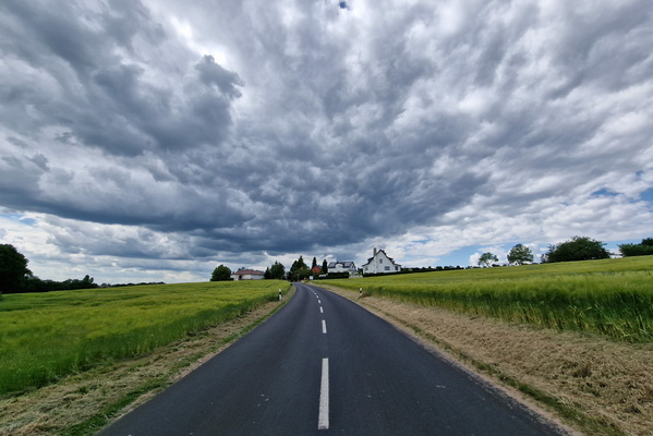
Cloudy Kehlen
-
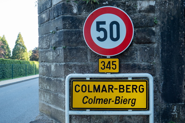
Colmar-Berg sign
-
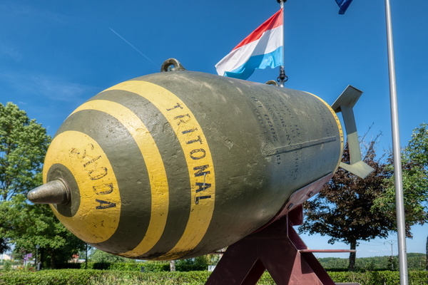
Consdorf bomb
-
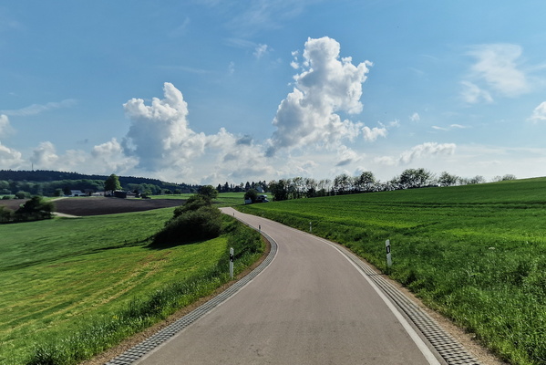
Country road in the Eifel
-
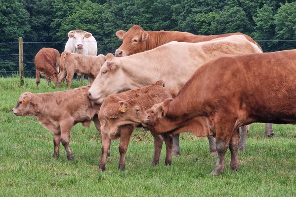
Cows
-
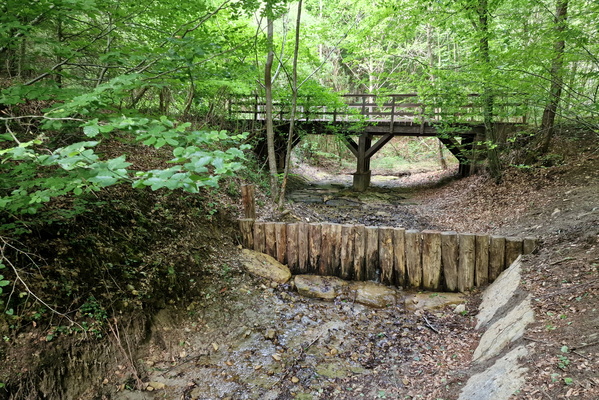
Creek near Pieta von Rollingen
-
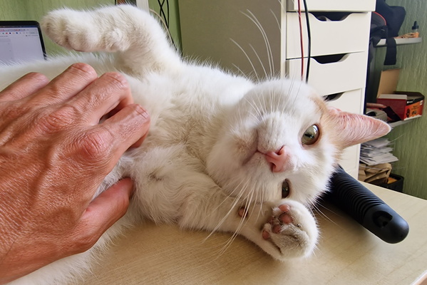
Cuddling Timmy
-
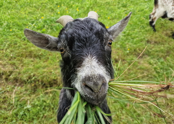
Cute goat
-
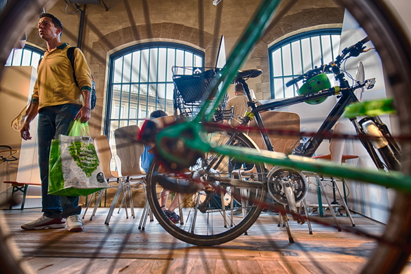
Cyclehack awareness
-
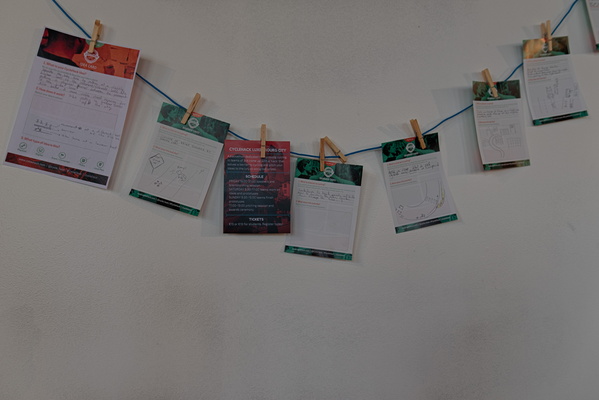
Cyclehack collected feedback
-
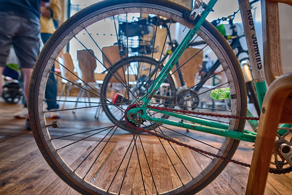
Cyclehack marketing campaign
-
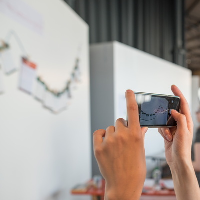
Cyclehack preparations
-
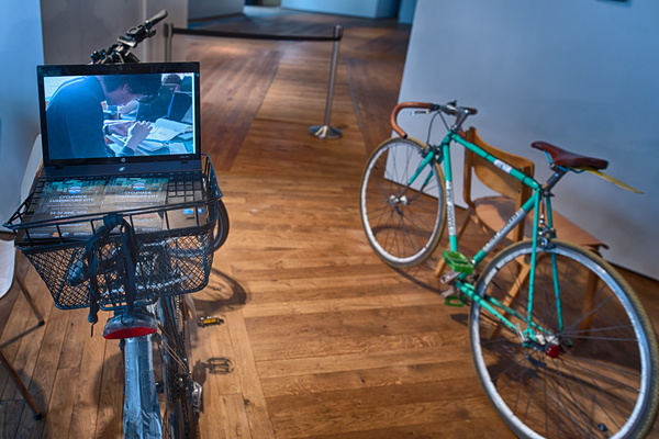
Cyclehack promotion
-
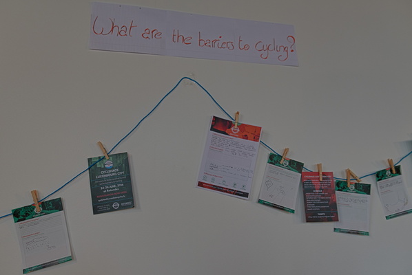
Cyclehack survey
-
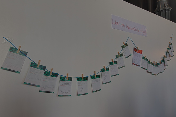
Cyclehack survey
-
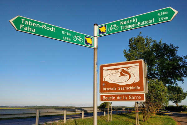
Cycling directions between the Saar and Moselle valleys
-
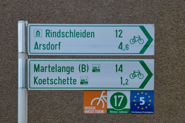
Cycling directions in Rambrouch
-
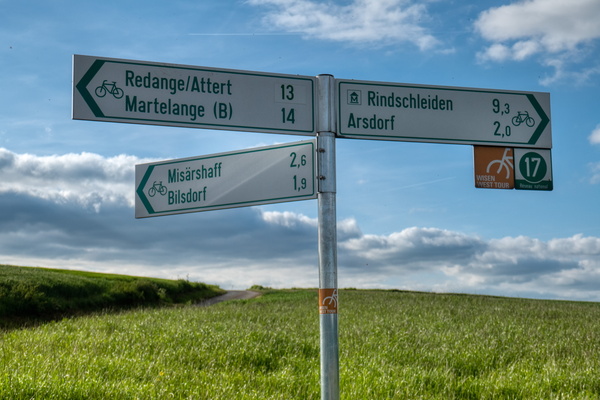
Cycling directions near Koetchette
-
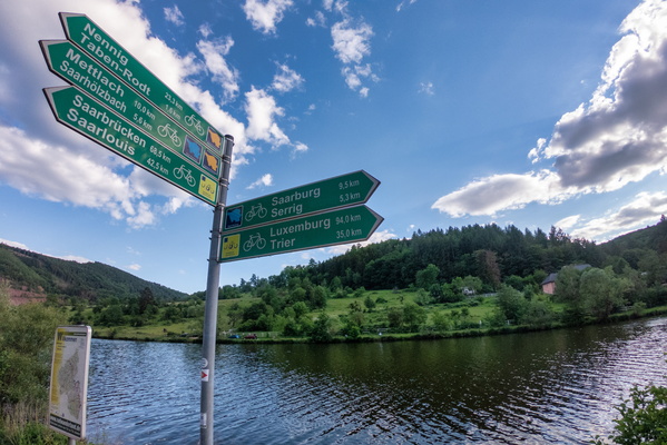
Cycling directions near Serrig
-
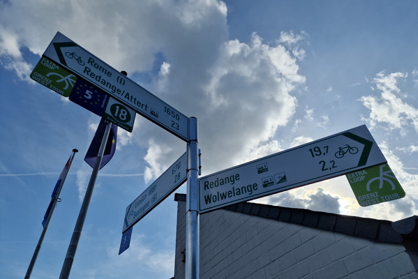
Cycling directions to Rome and London
-
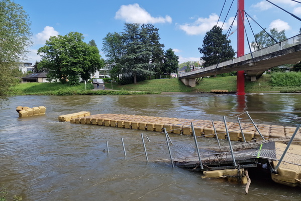
Damaged floating bridge
-
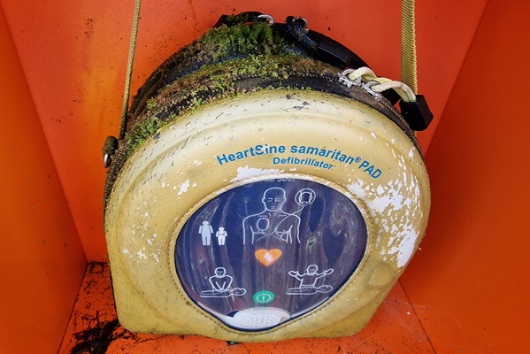
Defibrilator
-
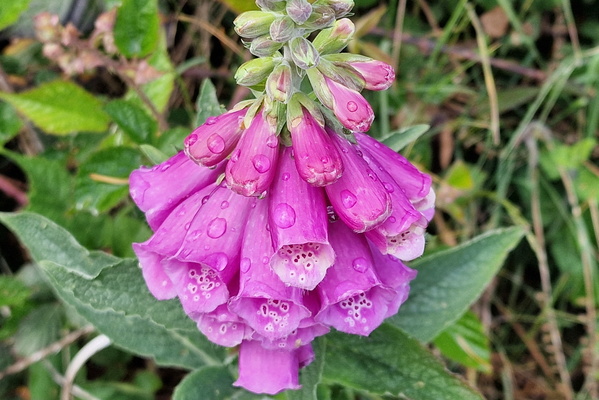
Digitalis
-
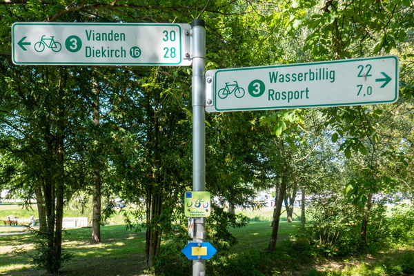
Directions in Echternach
-
Dirty track

-
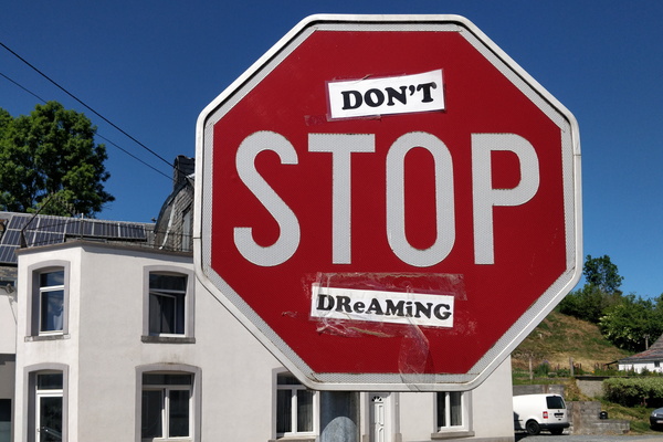
Don't stop dreaming
-
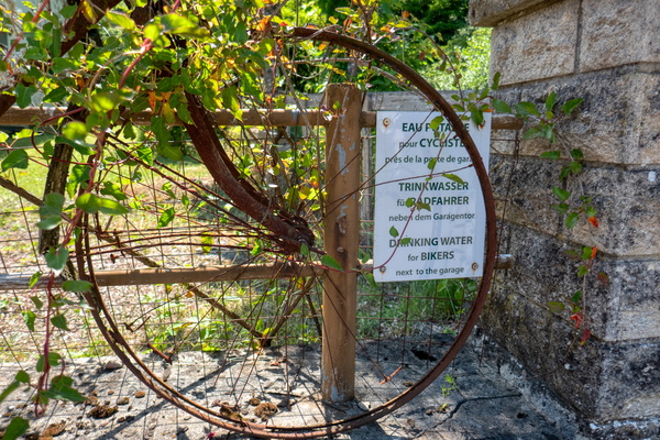
Drinking water for bikers
-
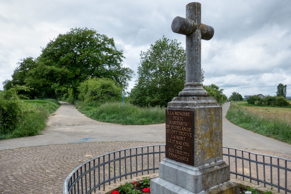
Dudelange Memorial
-
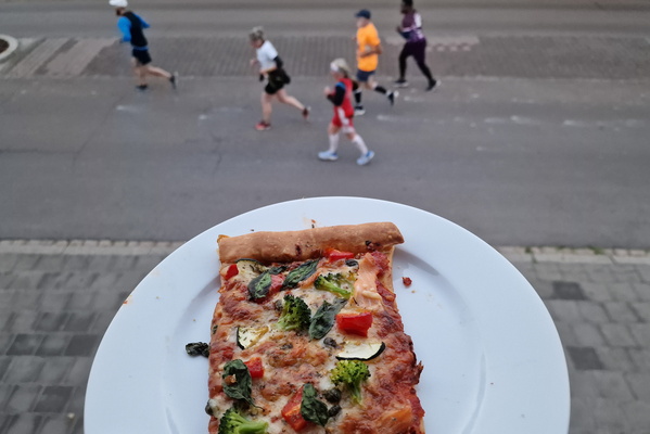
Eating a pizza while some are running a marathon
-
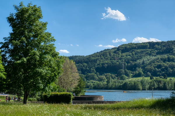
Echternach lake
-
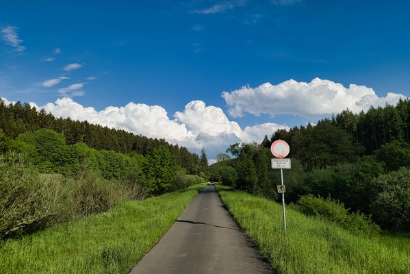
Eifel-Ardennes cycle route
-
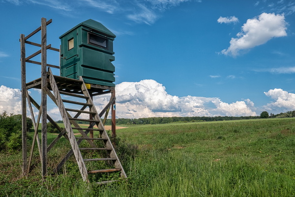
Elevated toilet?
-
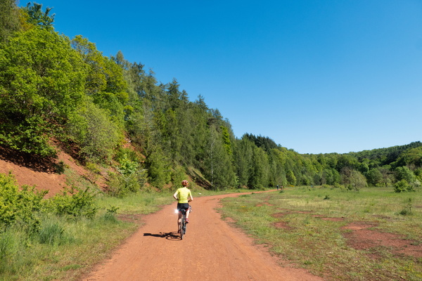
Ellergronn
-
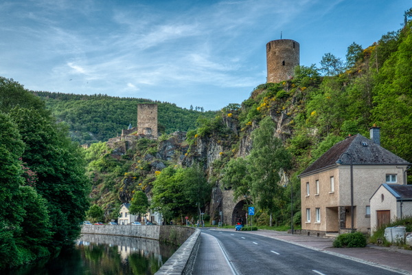
Esch-sur-Sûre
-
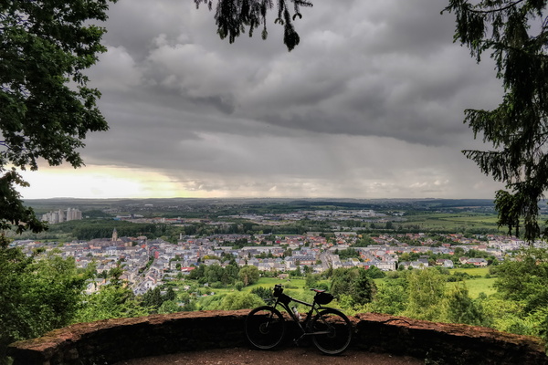
Esch/Alzette from Plaakesch Kopp viewpoint
-
Étang de Gantaufet

-
Fallen tree

-
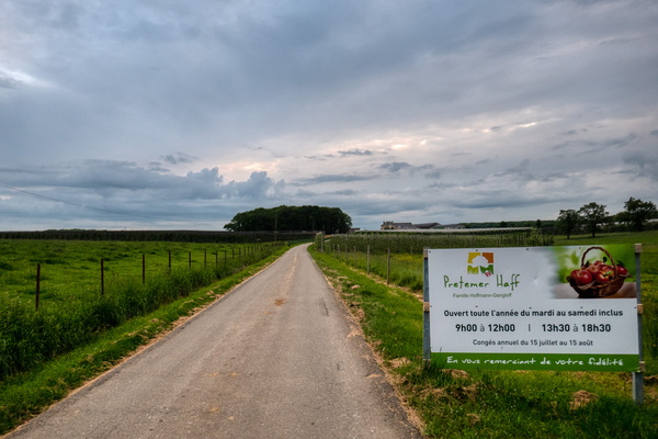
Farm
-
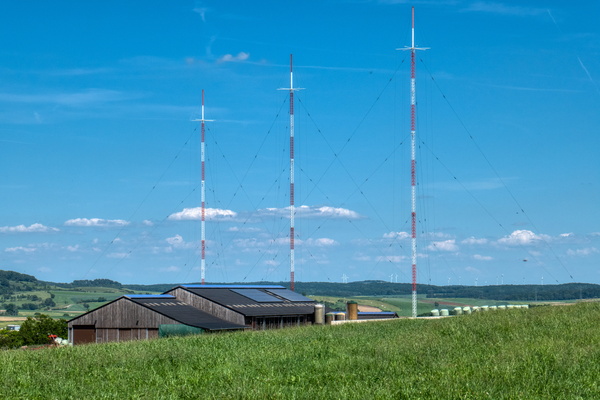
Farming and radio transmitter
-
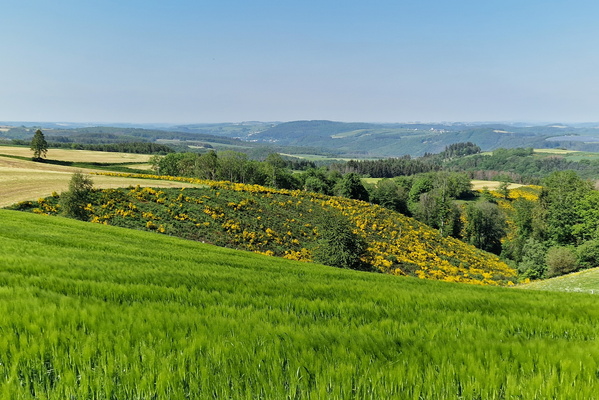
Field near Wahlhausen
-
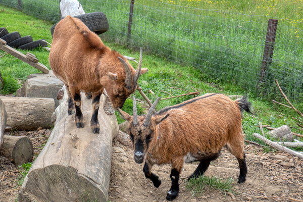
Fight club
-
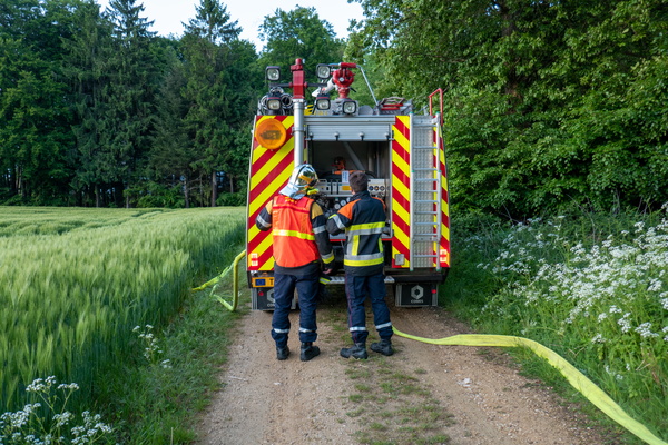
Firemen in training
-
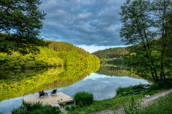
Fisherman at the lake
-
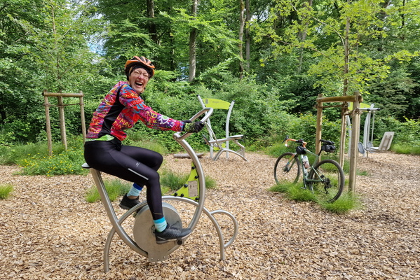
Fitness bike and real bike
-
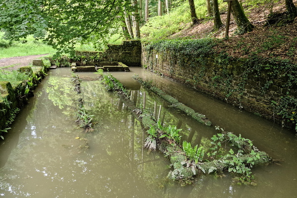
Flooded old lavoir near Beaufort
-
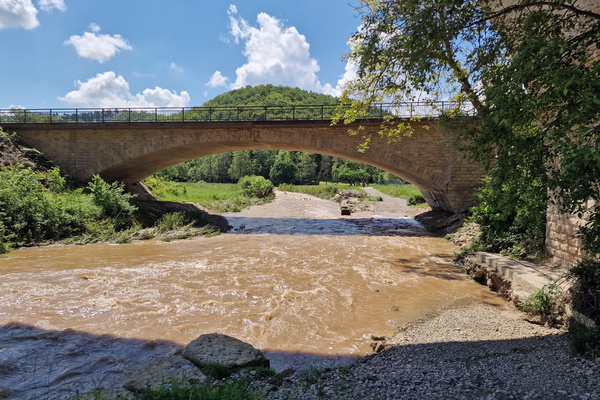
Flooded path
-
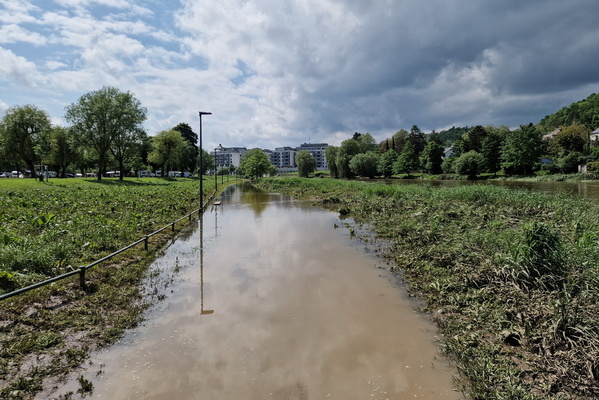
Flooded PC 16
-
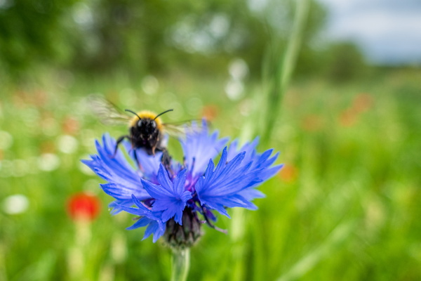
Flower
-
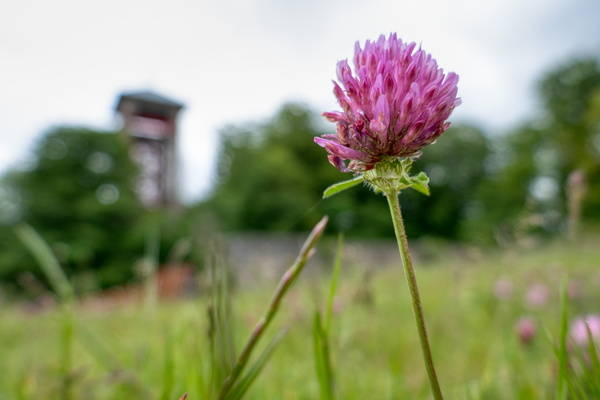
Flower in Mont Saint-Jean
-
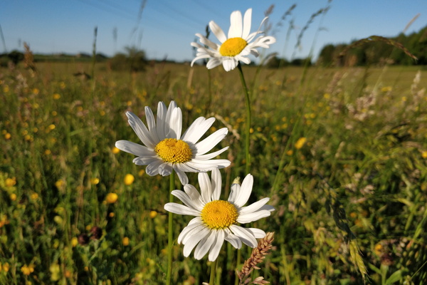
Flowers
-
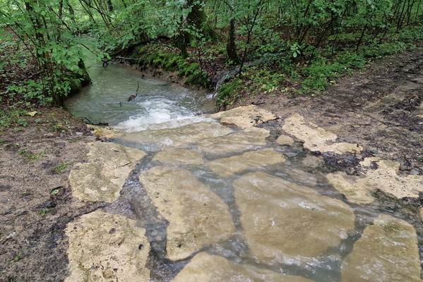
Ford
-
Forest in Dudelange

-
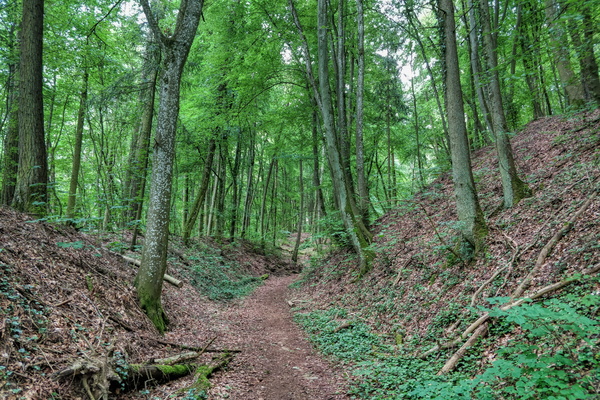
Forest in Dudelange
-
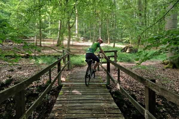
Forest near Bech
-
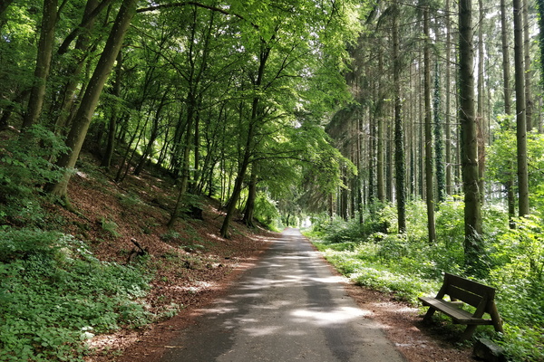
Forest near Hesperange
-
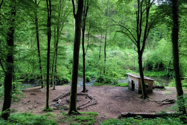
Forest near Mamer
-
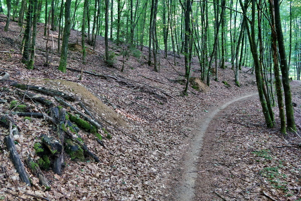
Forest path near Hobscheid
-
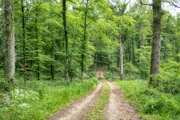
Forest track in Mamer
-
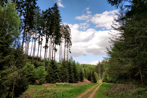
Forest track near Lintgen
-
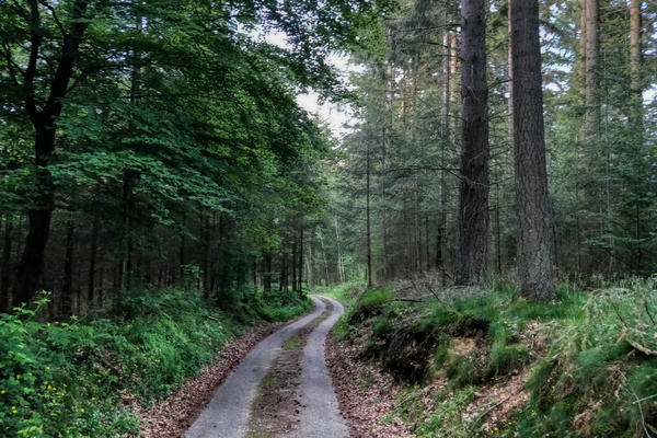
Forest track near Lintgen
-
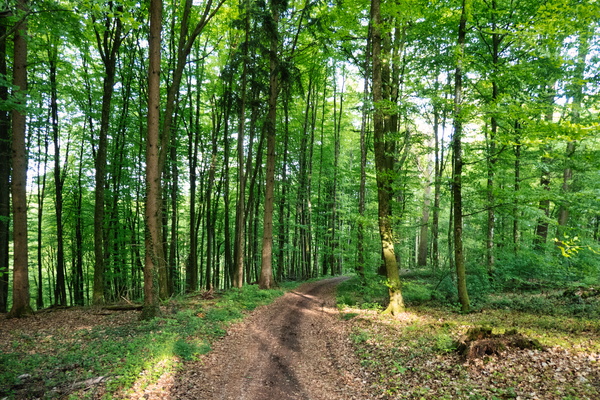
Forest track near Michelbouch
-
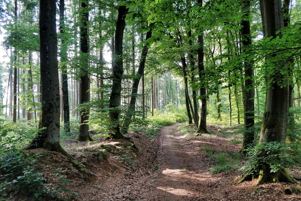
Forest track near Septfontaines
-
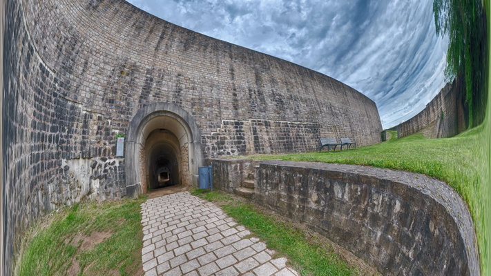
Fort Thüngen 2160p
-
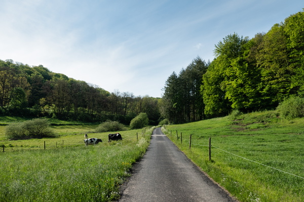
From Hobscheid to PC 12
-
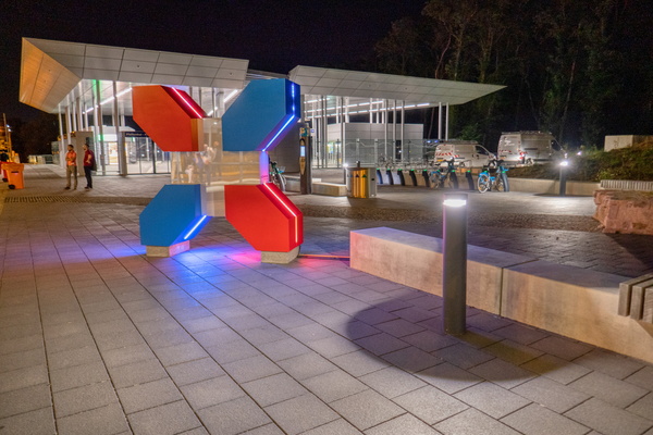
Funiculary
-
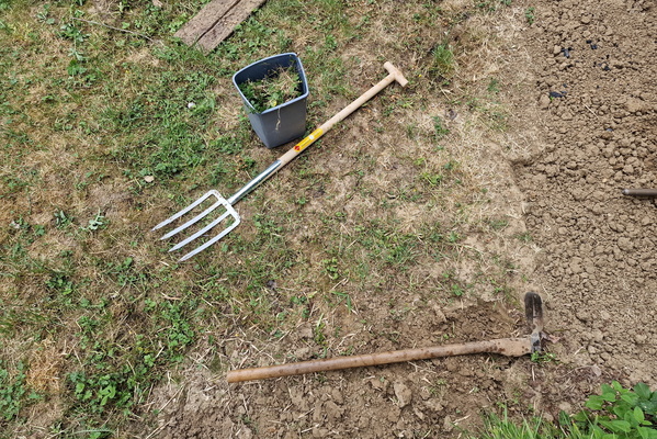
Gardening
-
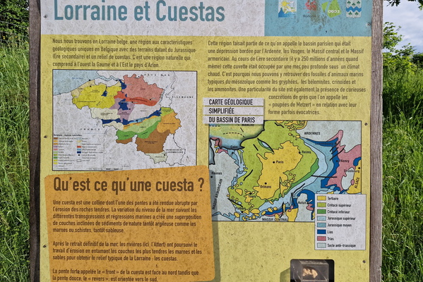
Geology information board in Tattert
-
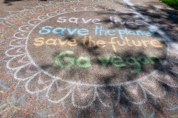
Go Vegan campain
-
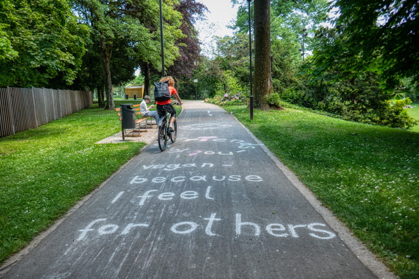
Go Vegan campain
-
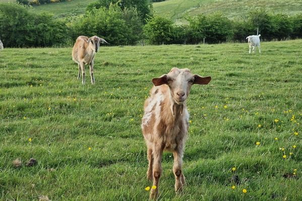
Goats
-
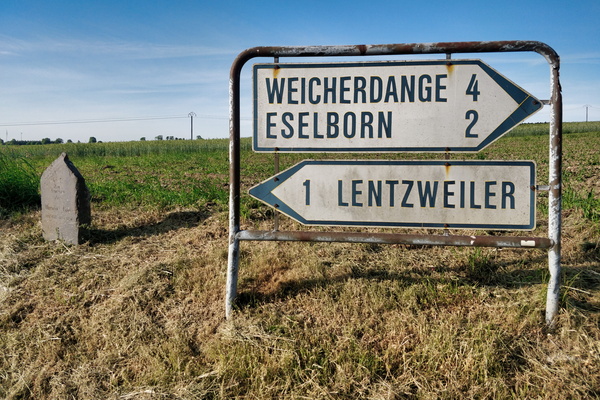
Good-old sign
-
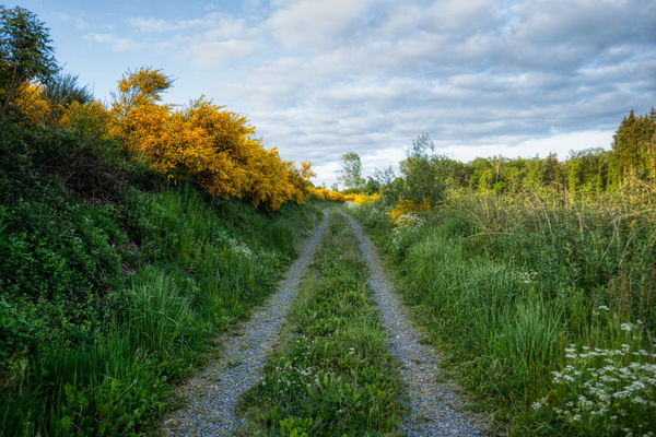
Gravel track near Bavigne
-
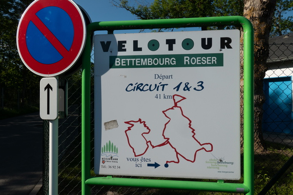
Great Velotour map
-
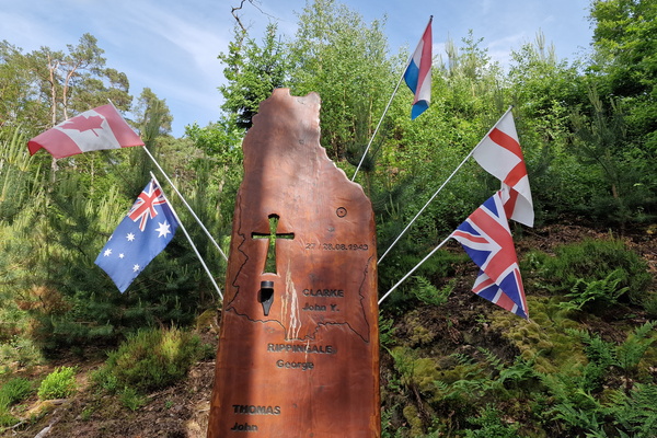
HALIFAX Square memorial
-
Happy dead tree
-
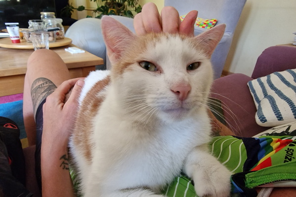
Happy Timmy
-
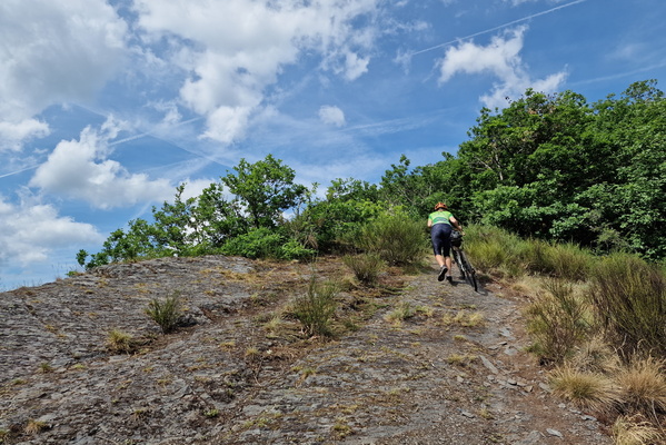
Hard climb
-
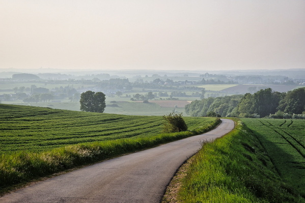
Hazy view
-
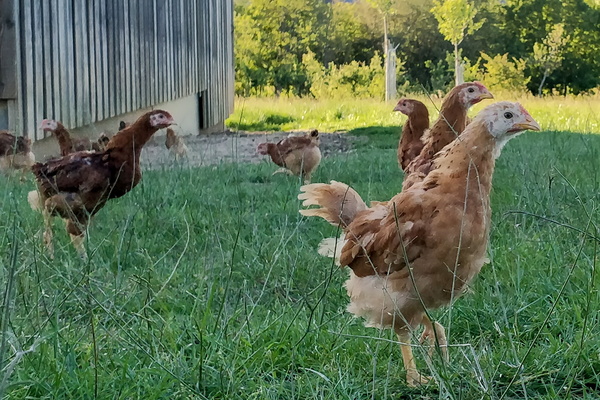
Henses
-
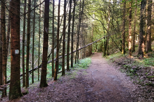
Hiking route B7 near Beaufort
-
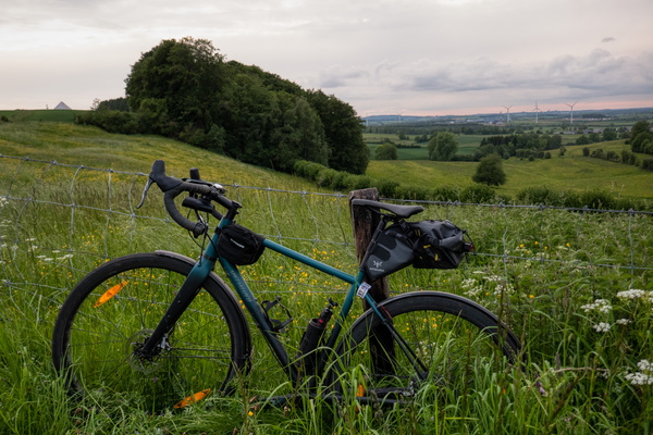
Hill near Hivange
-
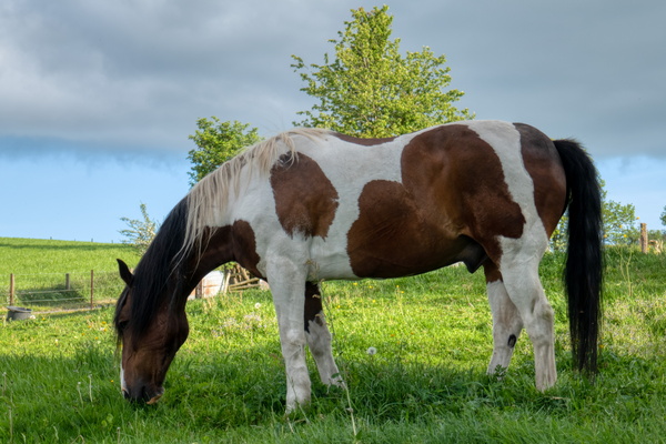
Horse
-
Horse carriage

-
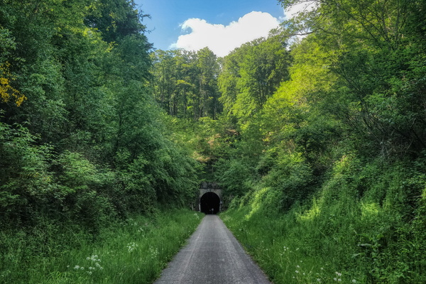
Hovelange tunnel
-
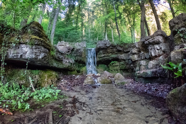
Hunnebur waterfall
-
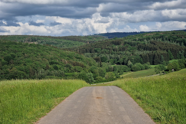
Hunsrück Hills
-
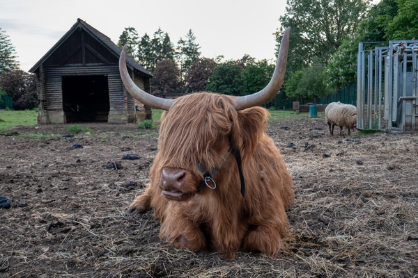
I don't care about you, rambler.
-
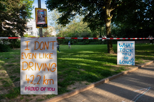
I don't even like driving 42.2 km
-
I'm looking like a tripod
-
Im-mobility at BIL
-
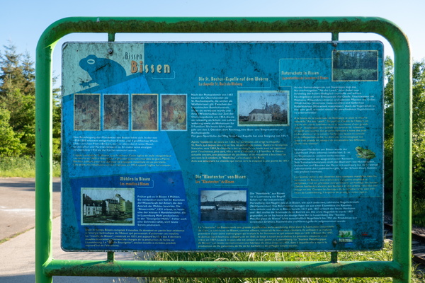
Information board about Bissen
-
ING Night Marathon
-
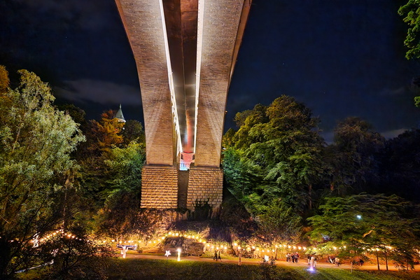
ING Night Marathon
-
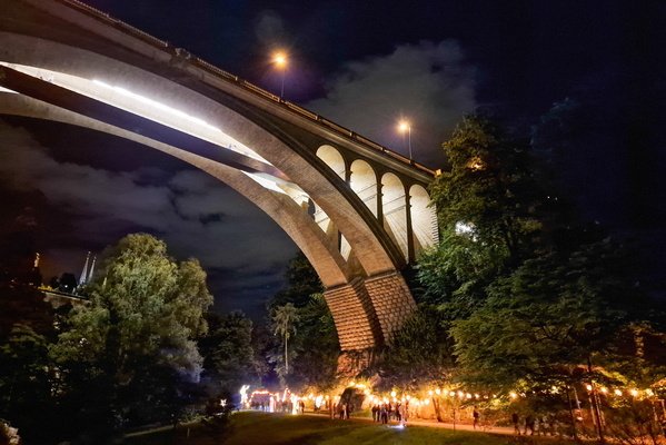
ING Night Marathon
-
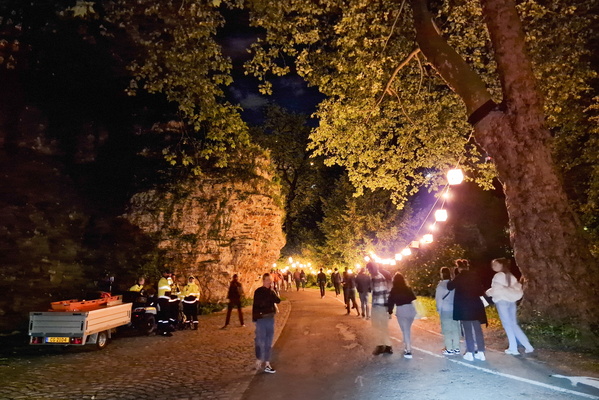
ING Night Marathon
-
ING Night Marathon
-
ING Night Marathon
-
ING Night Marathon
-
ING Night Marathon
-
ING Night Marathon
-
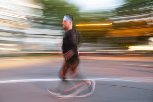
ING Night Marathon
-
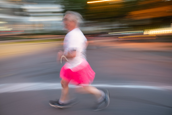
ING Night Marathon
-
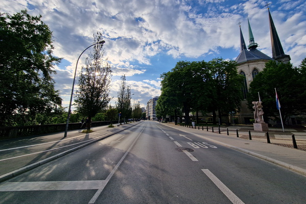
ING Night Marathon
-
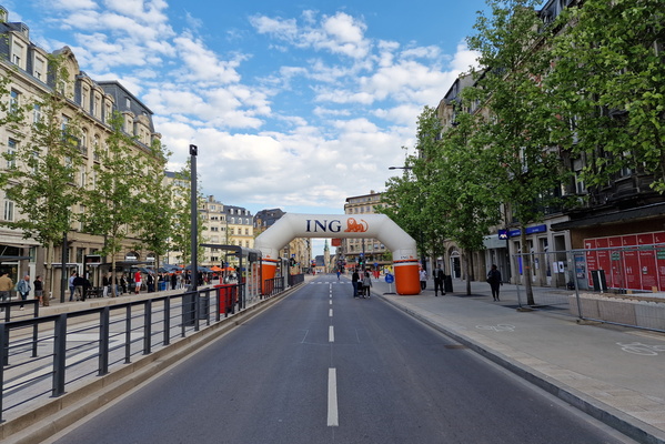
ING Night Marathon
-
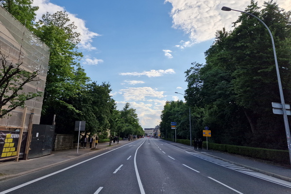
ING Night Marathon
-
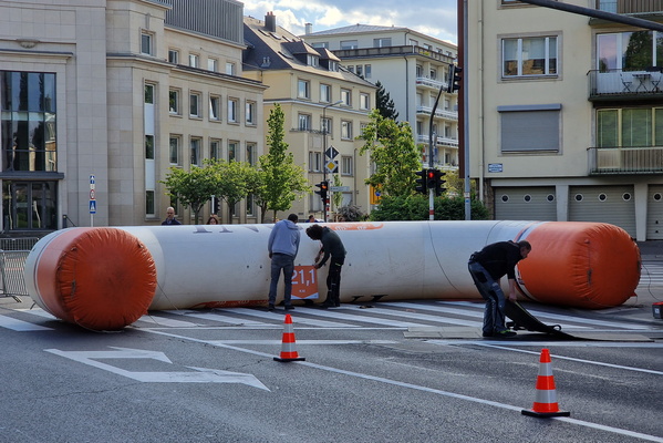
ING Night Marathon
-
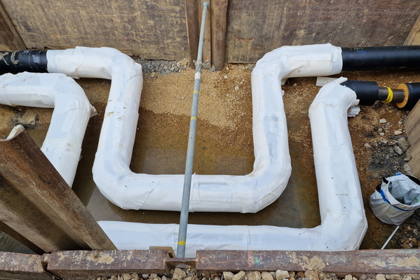
Interesting pipes shapes
-
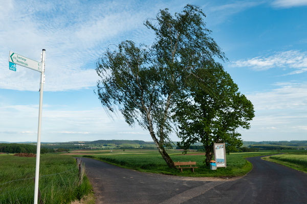
It's a bit windy
-
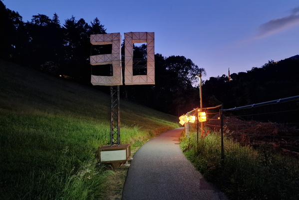
Kilometre 30
-
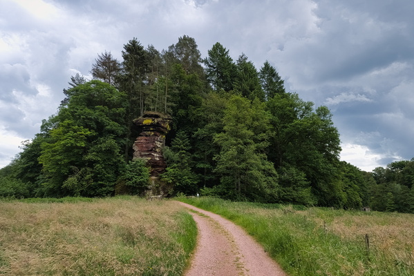
Kollesleuker Schweiz
-
Kollesleuker Schweiz

-
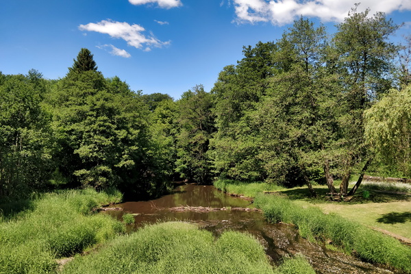
La Rulles river in Habay
-
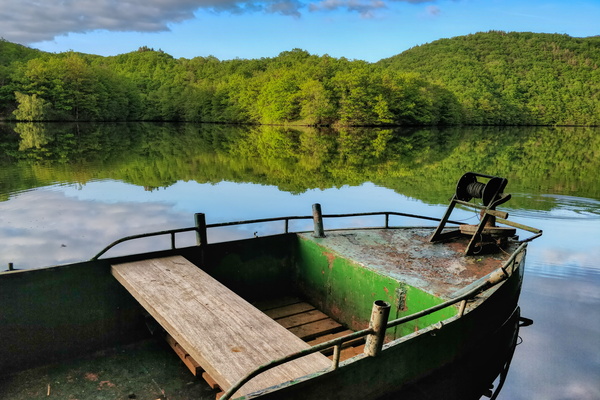
Lac de la Haute-Sûre
-
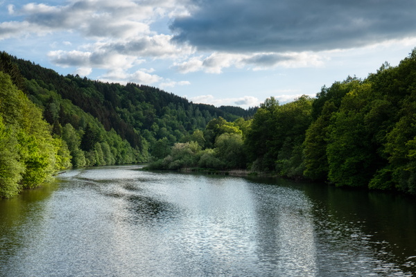
Lac de la Haute-Sûre from Pont Misère
-
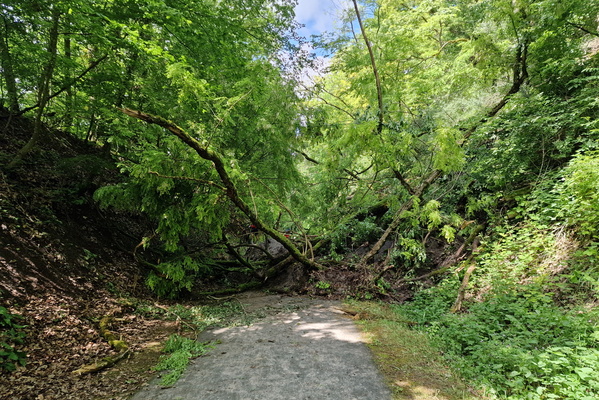
Landslide on PC 2
-
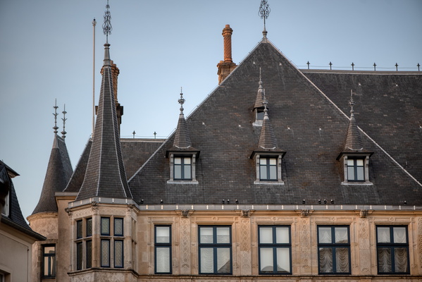
Le Palais
-
Low clouds

-
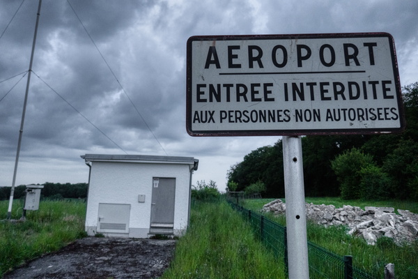
Luxembourg Airport
-
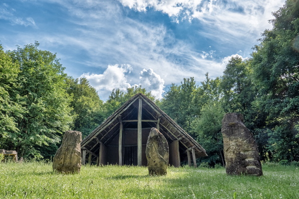
Maison Néolithique Blaschette
-
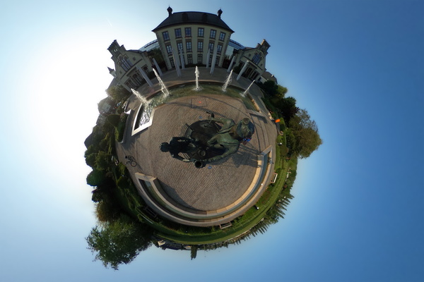
Mamer Park little planet
-
Map of bike routes on old railways

-
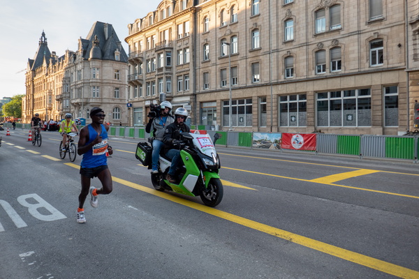
Marathon's leader
-
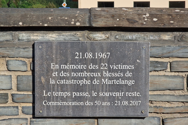
Martelange Memorial
-
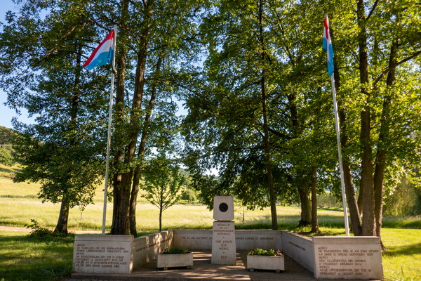
Médaille de la reconnaissance nationale
-
Mikado forest
-
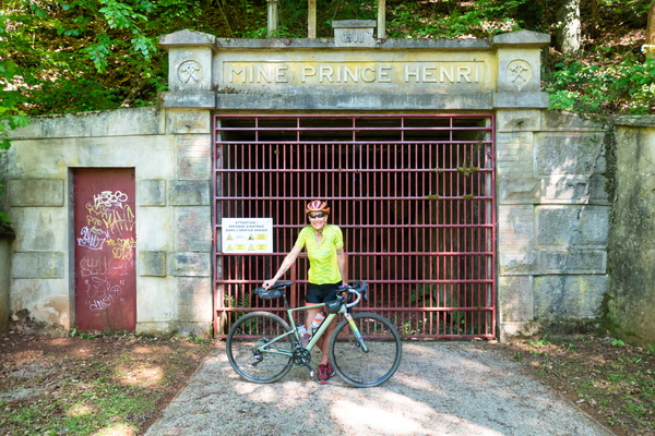
Mine Prince Henri
-
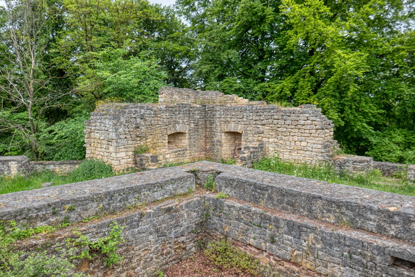
Mont Saint-Jean
-
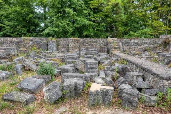
Mont Saint-Jean
-
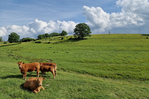
Moo cows
-
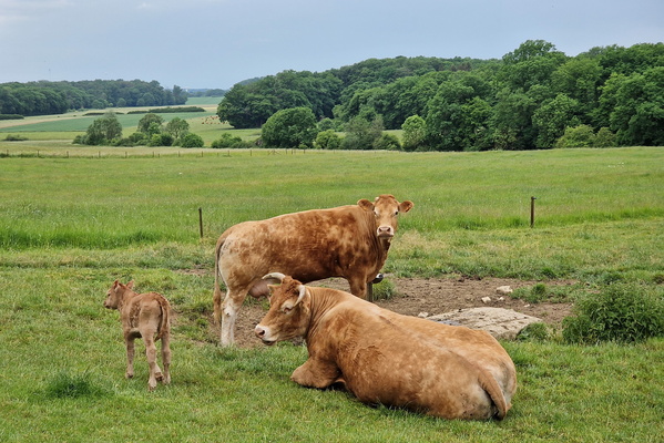
Moo cows with baby
-
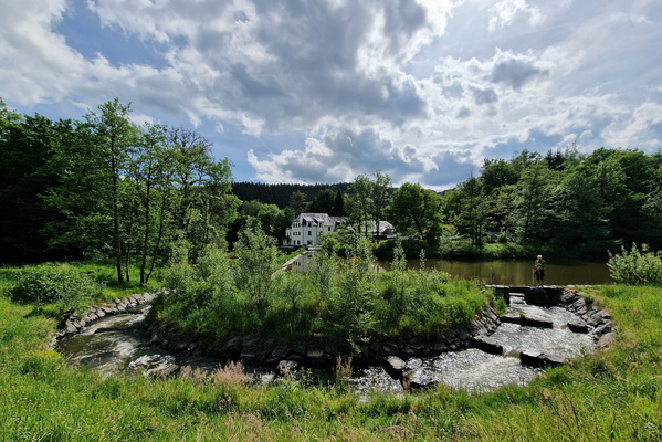
Moulin de Bigonville
-
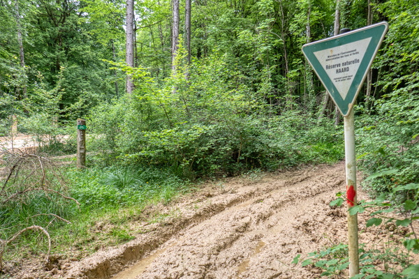
Muddy nature reserve
-
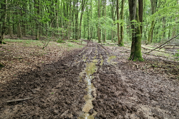
Muddy Perl Bike
-
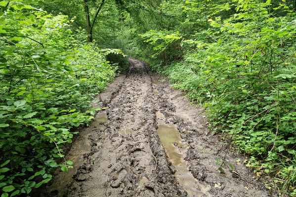
Muddy Perl Bike
-
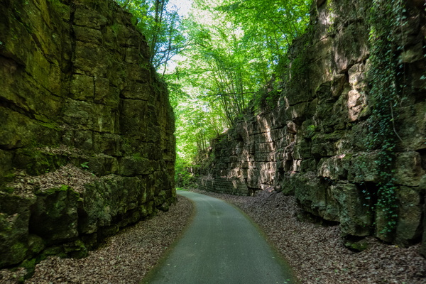
Mullerthal canyon
-
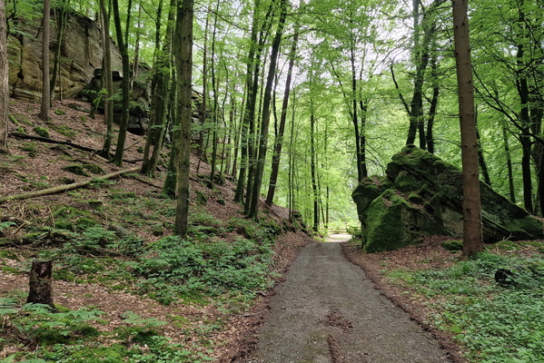
Mullerthal Trail Extra Tour B
-
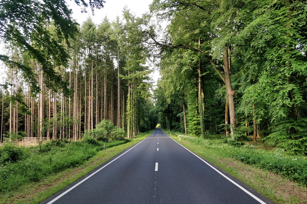
N 8 road near Hobscheid
-
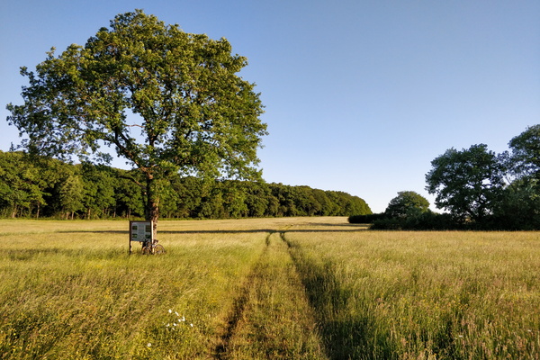
Nature reserve between Schouweiler and Bascharage
-
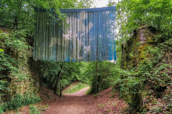
Near Esch
-
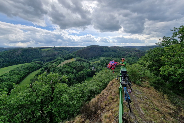
Near Houfels
-
New and already damaged path

-
New bike route in Cents

-
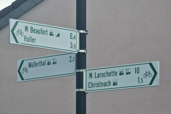
New bike route in Waldbillig
-
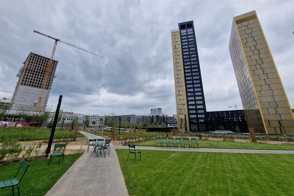
New garden in Kirchberg
-
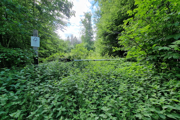
Nice track to explore :-((
-
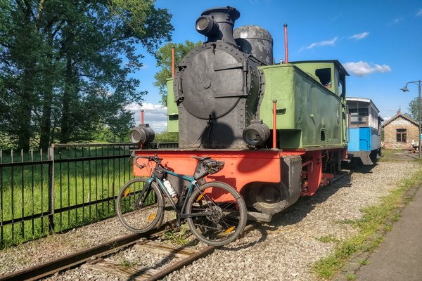
Niederpallen train station
-
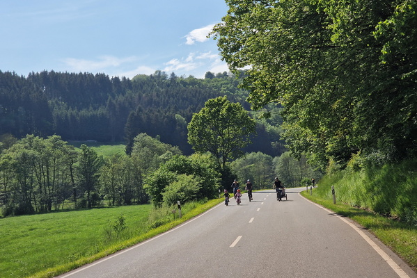
Nim(m)s Rad! car free day

-
Nim(m)s Rad! car free day

-
Nim(m)s Rad! car free day

-
Nim(m)s Rad! car free day
-
Nim(m)s Rad! car free day

-
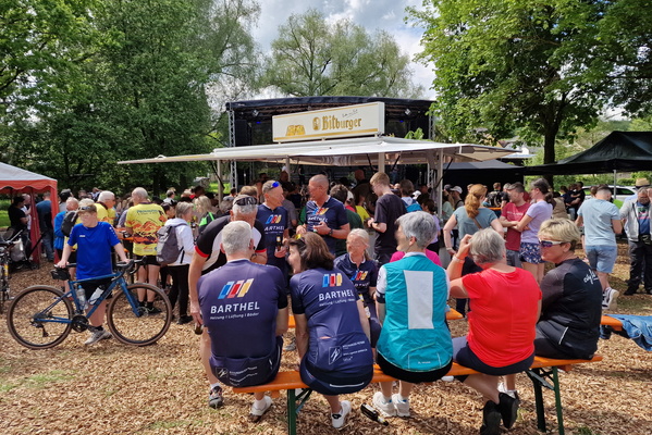
Nim(m)s Rad! car free day

-
Nim(m)s Rad! car free day
-
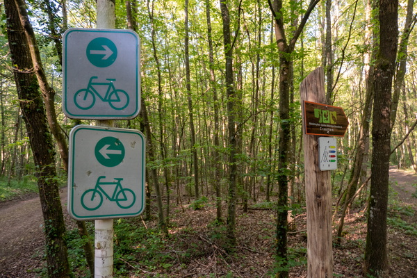
Not sure about which way to follow
-
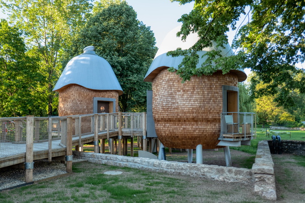
Nut house in Useldange
-
Oberweis

-
Official bike
-
Old bridge in Ourdall near Burg-Reuland

-
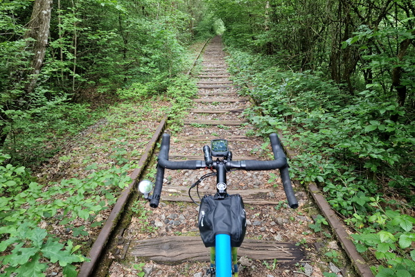
Old railway near Steinfort
-
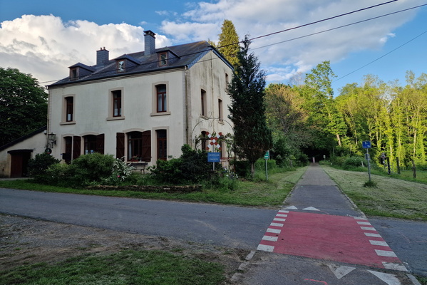
Old tramway line in Chatillon
-
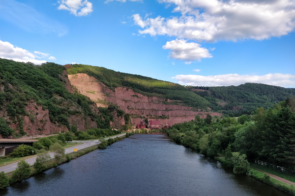
On a bridge over the Saar river
-
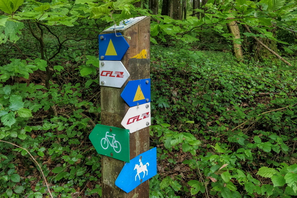
On foot, bike or horse, there's a way
-
One of the craziest bike route segment

-
OpenStreetMap track survey
-
Our river
-
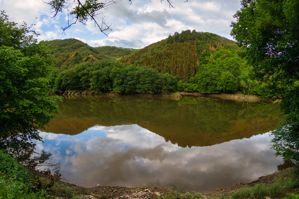
Our river
-
Our river

-
Our river

-
Our river near Winterspelt

-
Ourdall

-
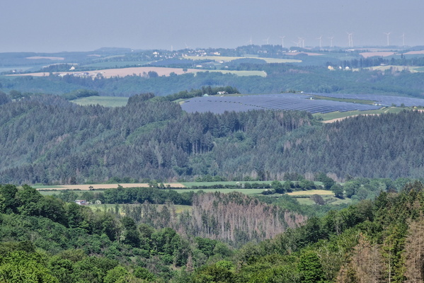
Ourdall
-
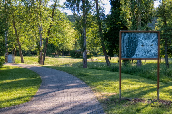
Owl
-
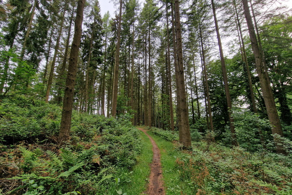
Path above Mamerdall
-
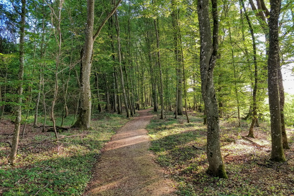
Path in Kehlen
-
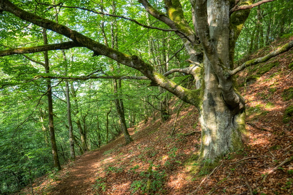
Path in Red Rocks area
-
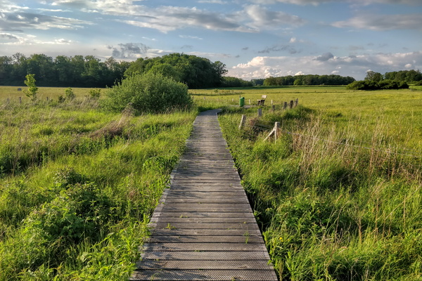
Path in Windhof
-
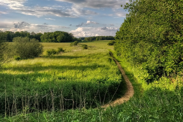
Path in Windhof
-
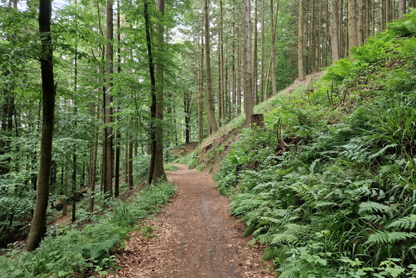
Path near Gourmanglay
-
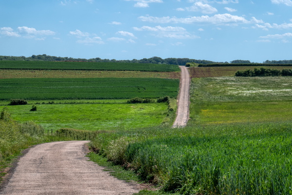
Paved track near Beidweiler
-
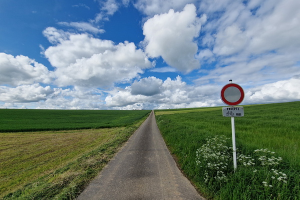
Paved track near Grindhausen
-
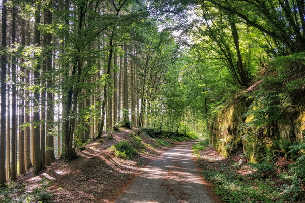
PC 12 near Eischen
-
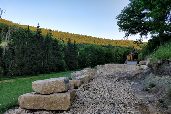
PC 14 extention construction works
-
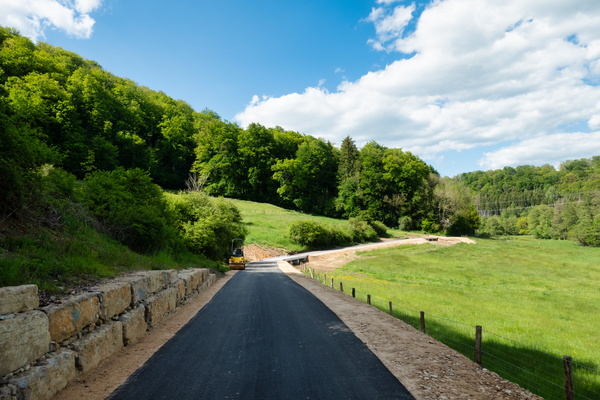
PC 14 is (mostly) done
-
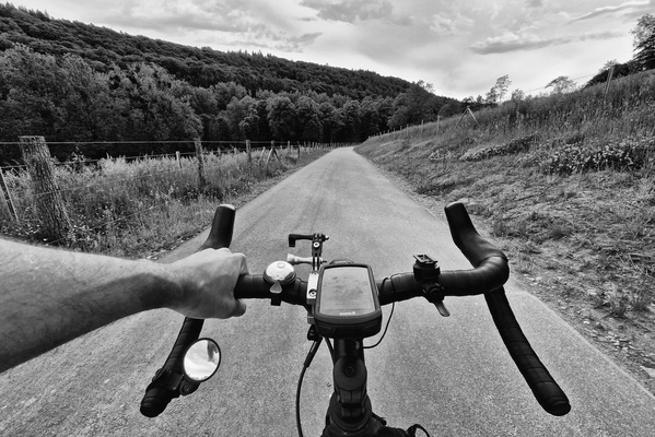
PC 14 near Schoenfels
-
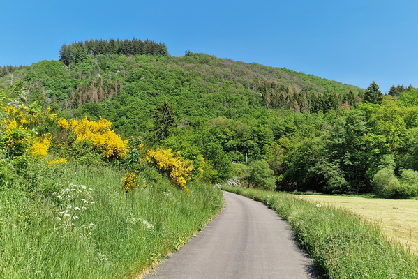
PC 21 between Alscheid and Lellingen
-
PC 21 works progress

-
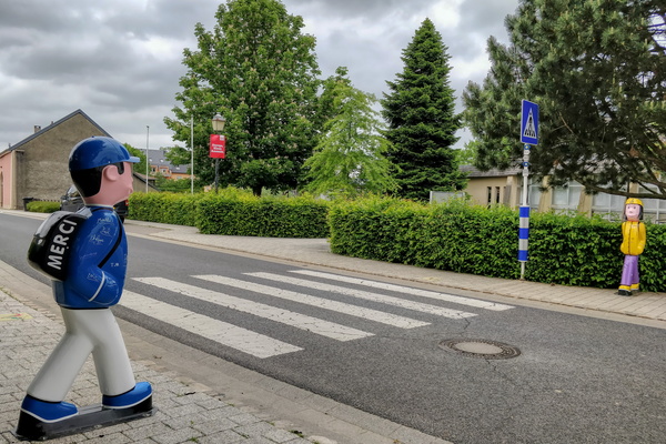
Pedestrian crossing in Hellange
-
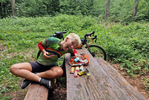
Picnic
-
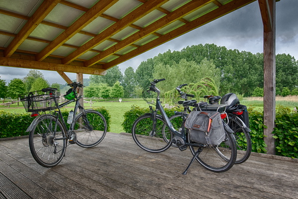
Picnic shelter
-
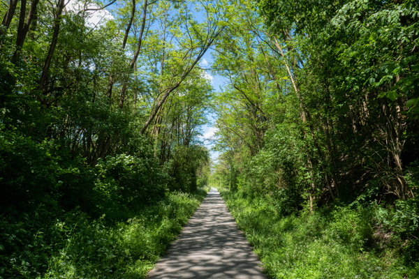
Piste cyclable d'Echternach near Ernster
-
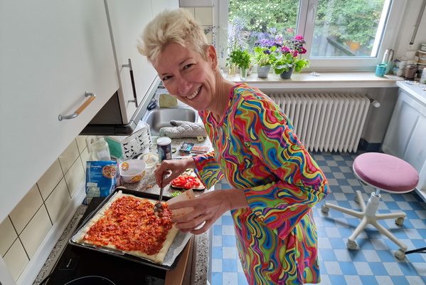
Pizza preparation
-
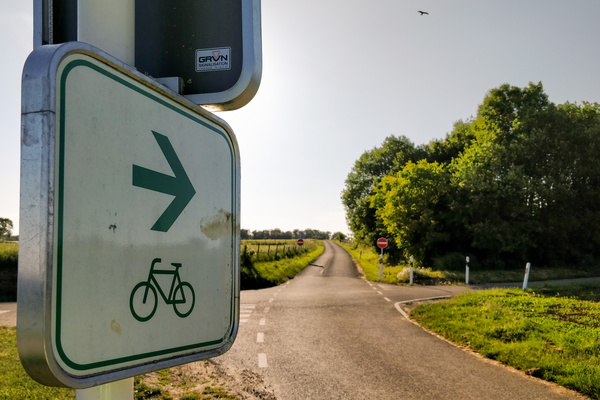
Please go cycle to this one-way road
-
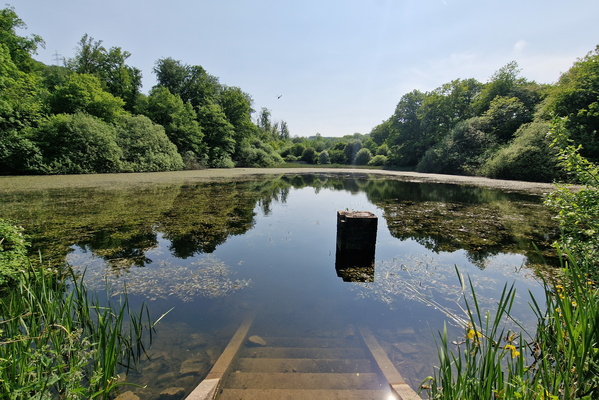
Pond near Bereldange
-
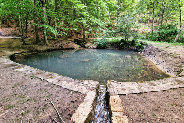
Pond near Pieta von Rollingen
-
Portugese pastries
-
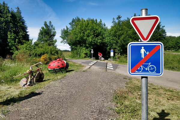
pré-RAVeL L163 cycleway between Libramont and Bastogne
-
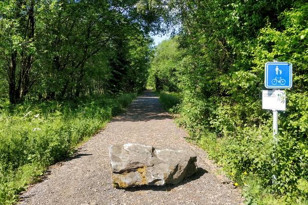
pré-RAVeL L163 cycleway between Libramont and Bastogne
-
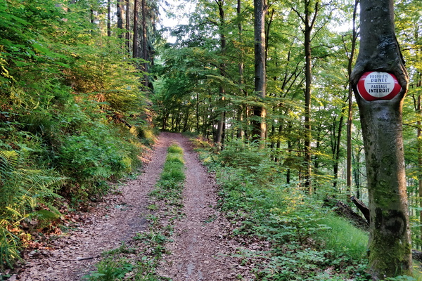
Private property
-
Prüm Valley

-
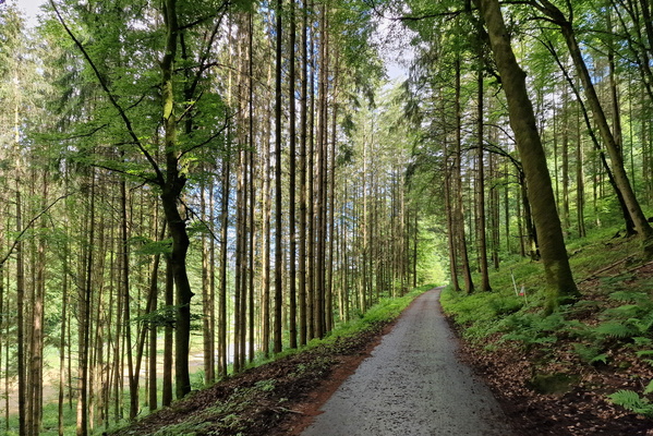
Prümtal-Radweg near Hermesdorf
-
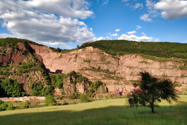
Quarry
-
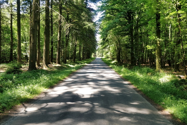
Quiet road between Habay and Neufchâteau
-
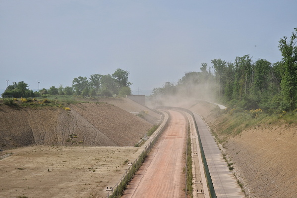
Rail works
-
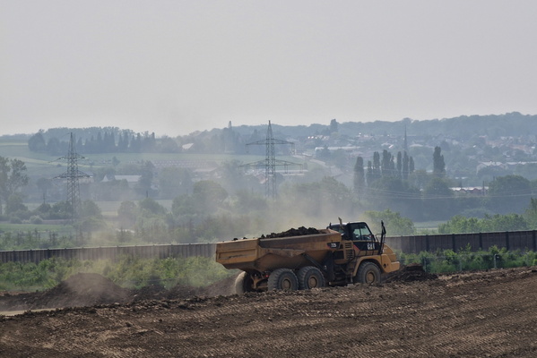
Rail works
-
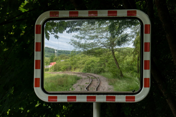
Rails in mirror
-
Rain in the garden
-
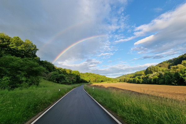
Rainbow
-
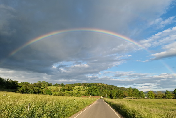
Rainbow
-
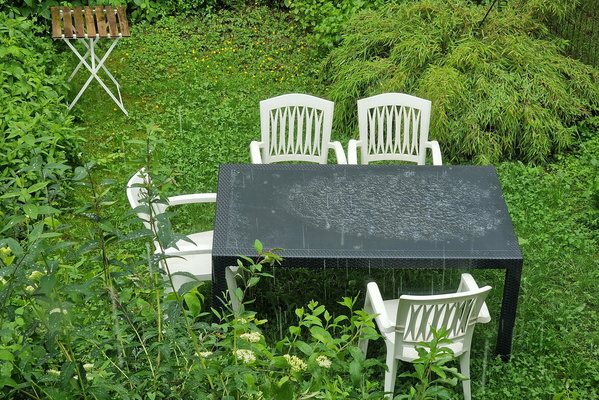
Rainy day
-
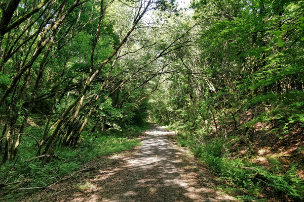
RAVeL rhymes with gravel
-
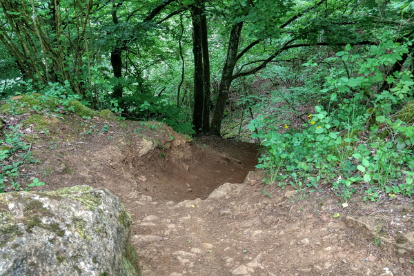
Red MTB track
-
Red Rocks
-
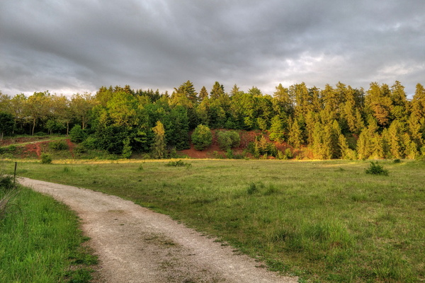
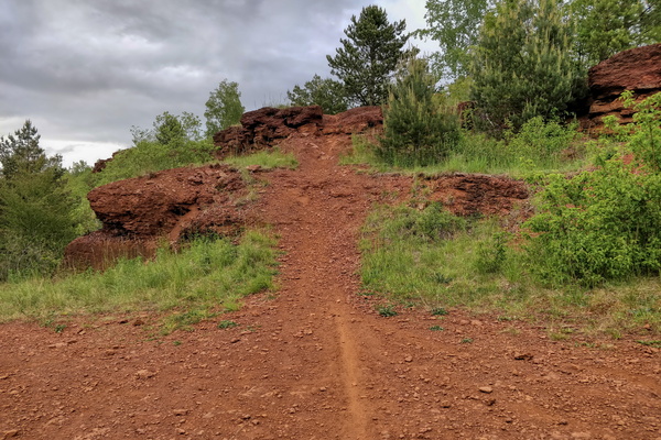
Red Rocks
-
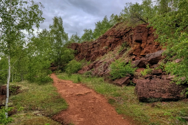
Red Rocks
-
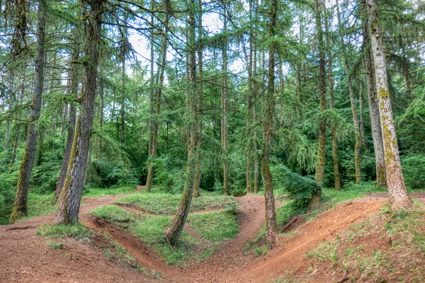
Red Rocks
-
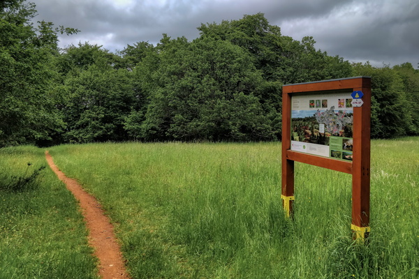
Red Rocks information board
-
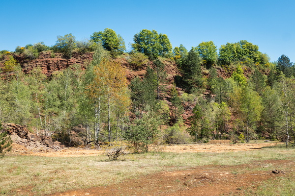
Red Rocks near Kayl
-
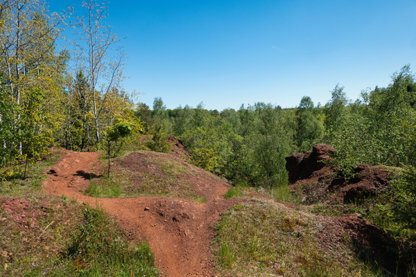
Red Rocks near Schifflange
-
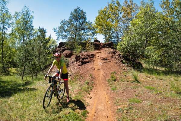
Red Rocks Schifflange
-
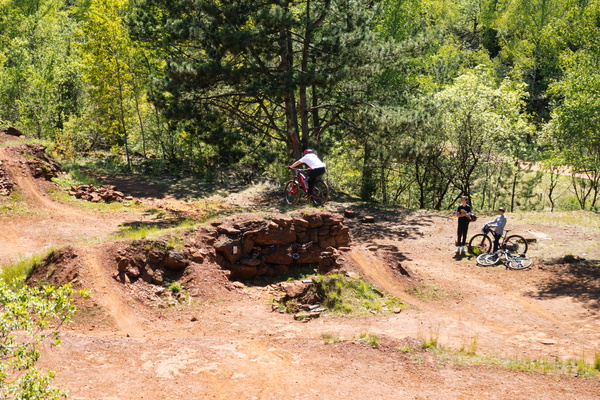
Red Rocks stunts
-
Relaxing Timmy

-
Réserve de la Carrière de Tattert

-
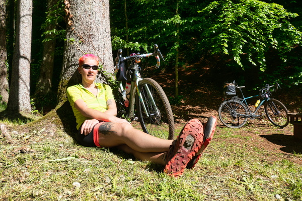
Resting in Ellergronn
-
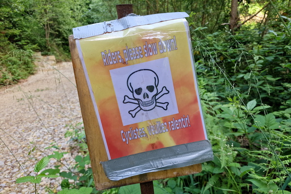
Riders, please slow down!
-
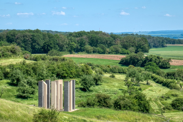
Road victims memorial
-
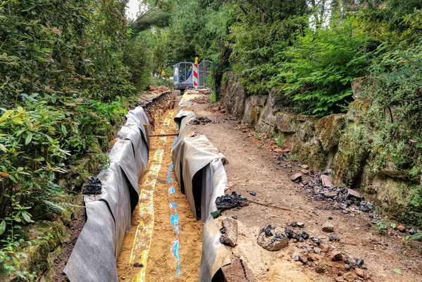
Roadworks on hiking trail
-
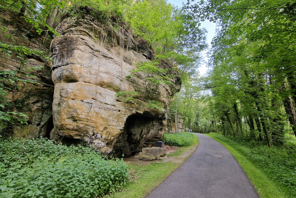
Rock on PC 5 in Larochette
-
Rock reflection at Drëps
-
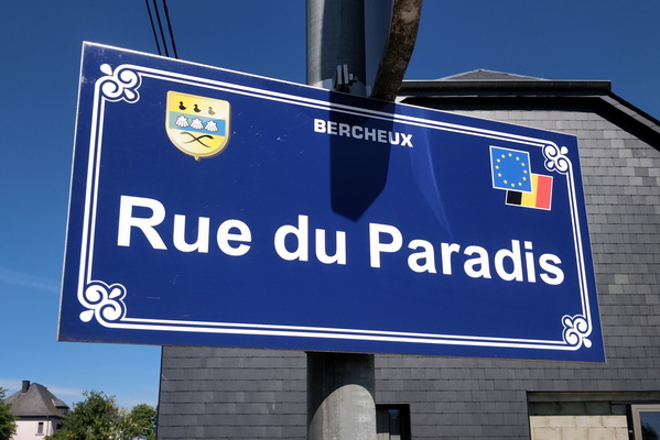
Rue du Paradis
-
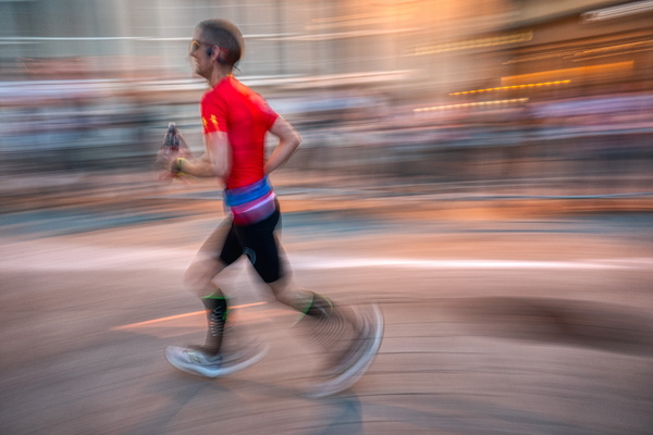
Runner
-
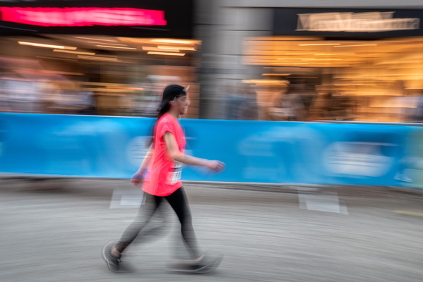
Runner
-
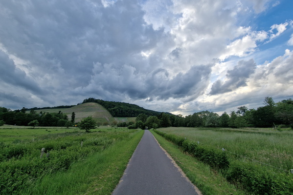
Ruwer-Hochwald-Radweg
-
Saarburg

-
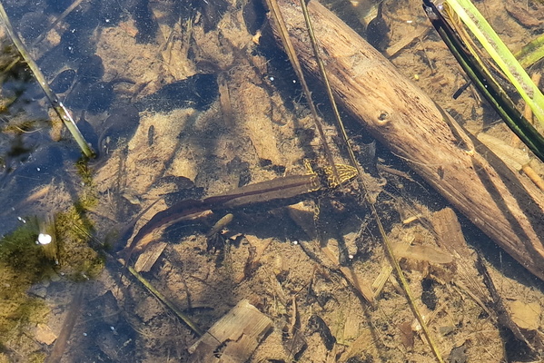
Salamander
-
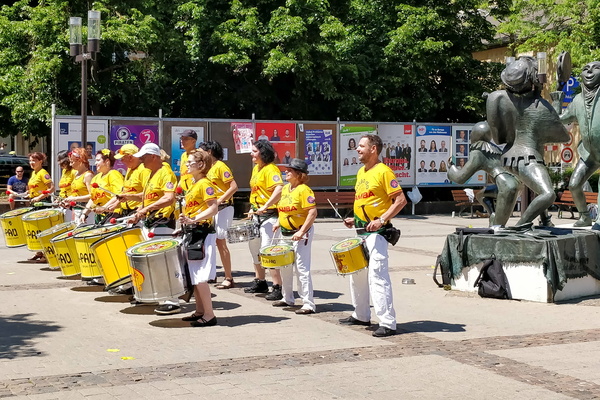
Samba de Luxe
-
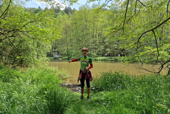
Sauer near Pont-Misère
-
Sauer river in Echternach

-
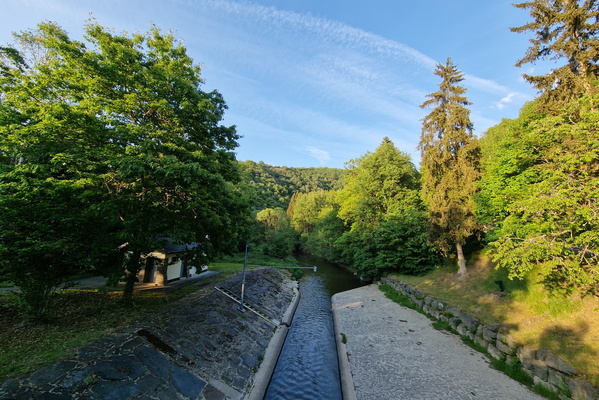
Sauer river near Bigonville
-
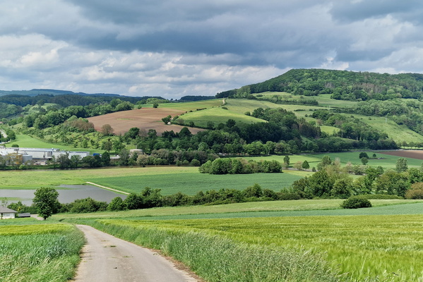
Sauerdall above Diekirch
-
Sauertal near Bourscheid-Moulin
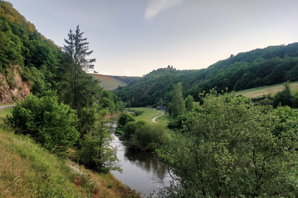
-
Sauertal near Erpeldange-sur-Sûre
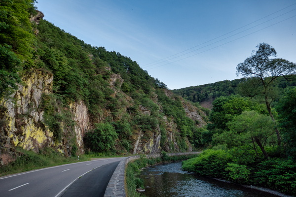
-
Sauertal near Goesdorf
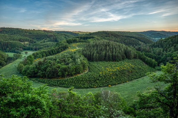
-
Schoenfels castle
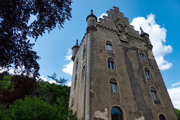
-
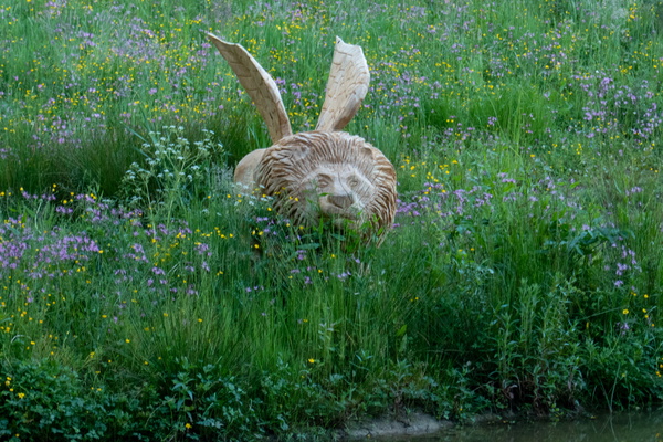
Sculpted lion
-
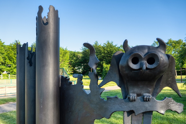
Sculpted owl (Duc?) in Bissen park
-
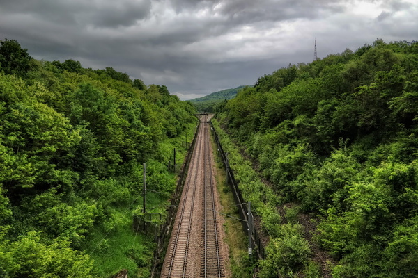
Sentier du Sud 2 above railroad to France
-
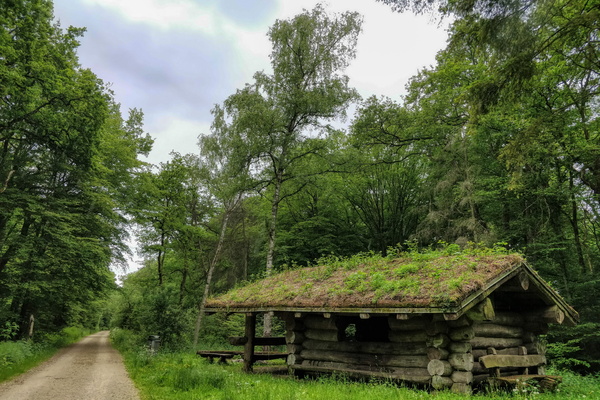
Sentier du Sud 2 between Hellange and Dudelange
-
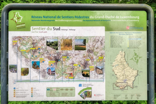
Sentier du Sud information board
-
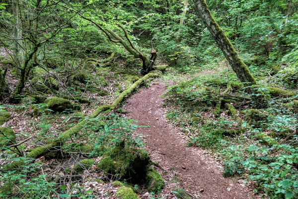
Sharp turn
-
Sheep

-
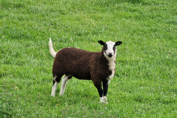
Sheep
-
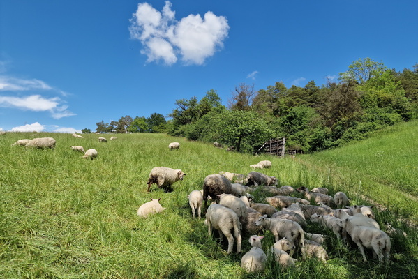
Sheep
-
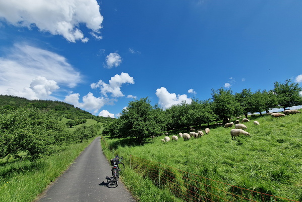
Sheep
-
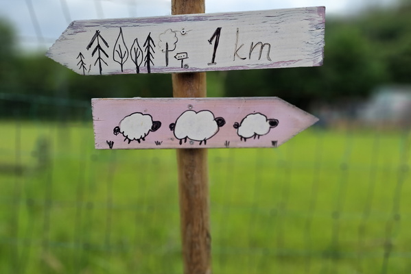
Sheep or forest?
-
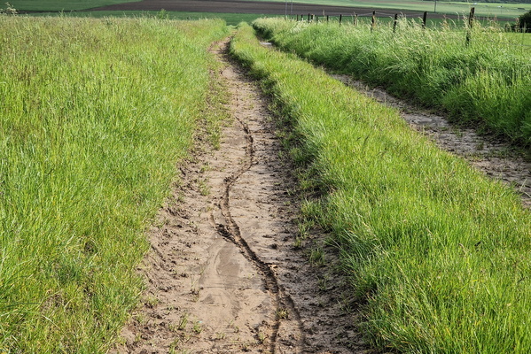
Slippery track
-
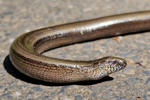
Snake!
-
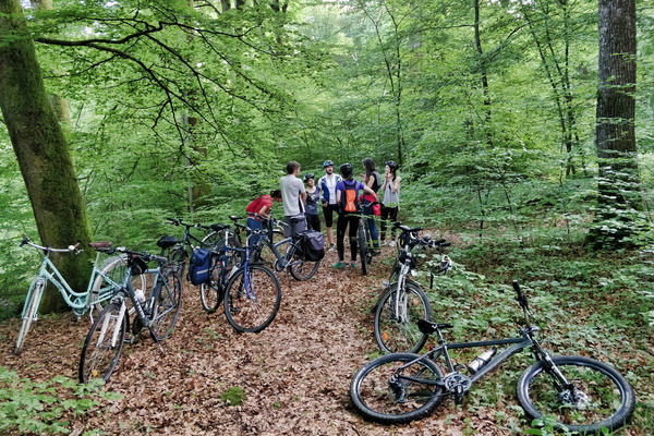
Social cycling
-
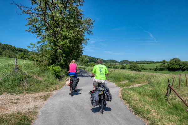
Some people I talked to during my trip
-
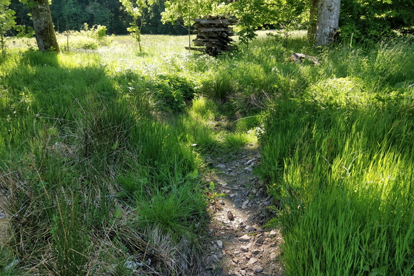
Source of the Sûre river
-
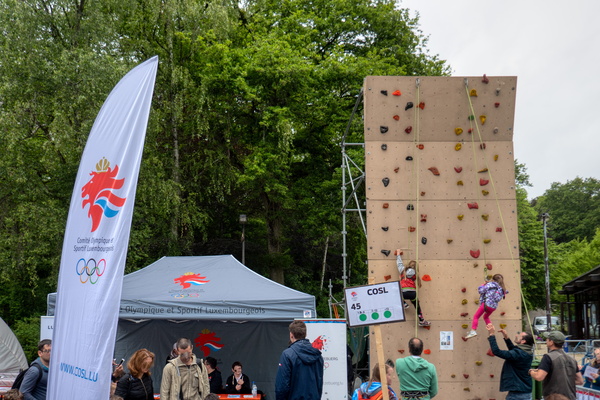
Sport event in Kockelschueuer
-
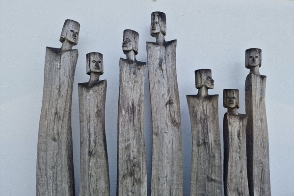
Statues in Boulaide
-
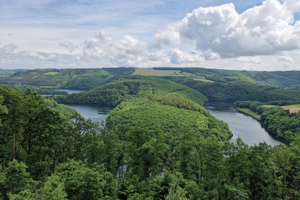
Stauséi
-
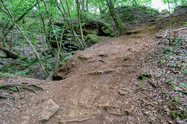
Steep climb
-
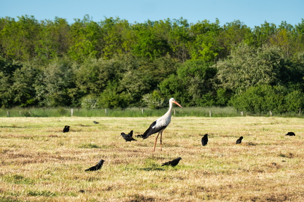
Stork
-
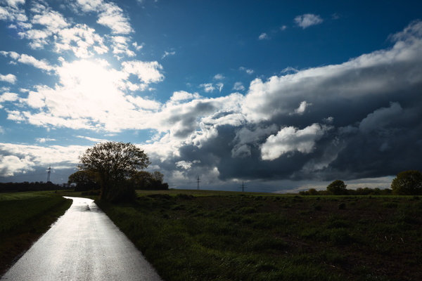
Sunny, but not only
-
Swimming buffalo

-
Thanks but no thanks

-
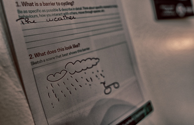
The biggest obstacle to cycling
-
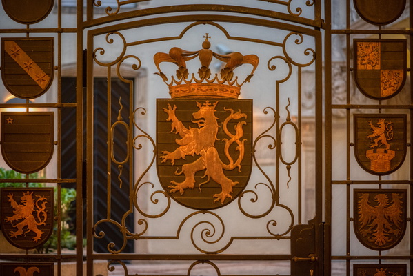
The Gate
-
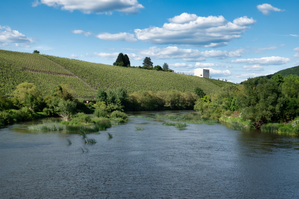
The Saar river near Ayl
-
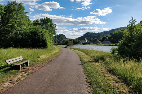
The Saar-Radweg
-
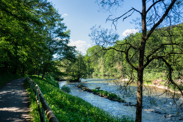
The Sûre river
-
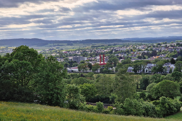
The town of Mersch
-
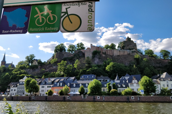
The town of Saarburg
-
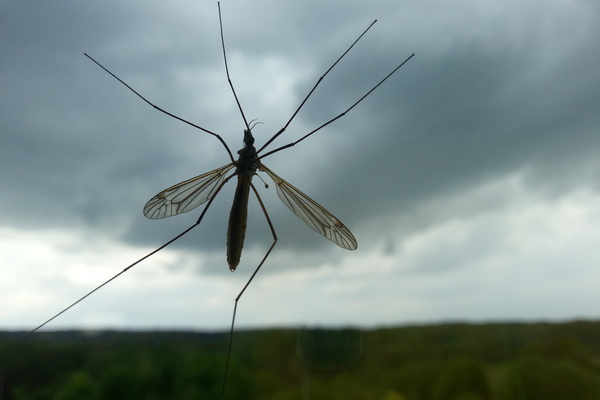
There's a bug
-
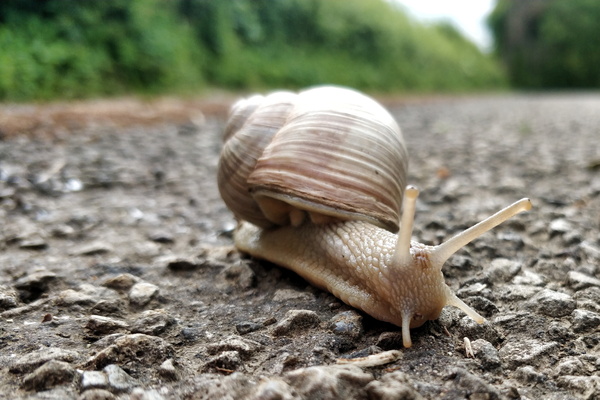
This snail is on a road that is unlikely to be visited
-
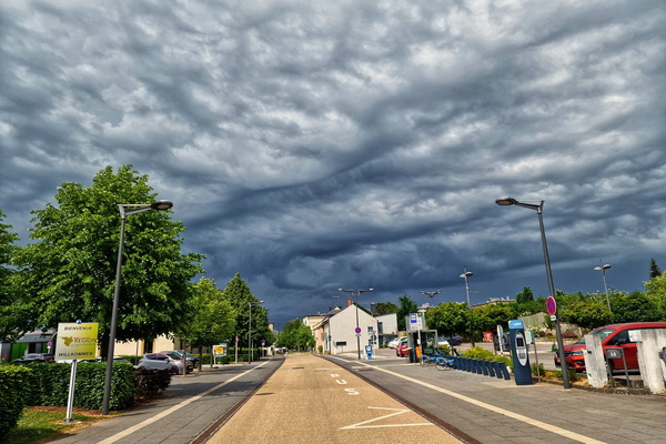
Threatening sky in Strassen
-
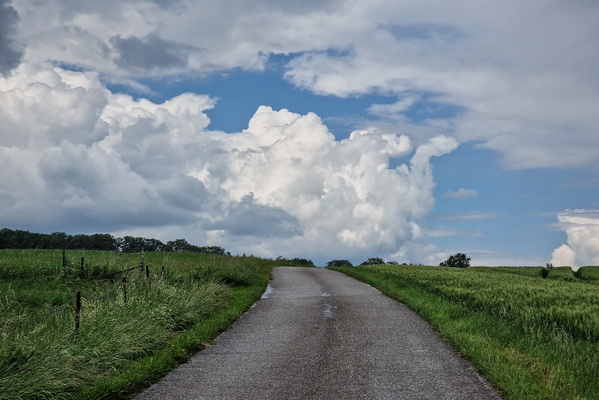
Threatening sky near Mompach
-
Threatening sky near Olingen
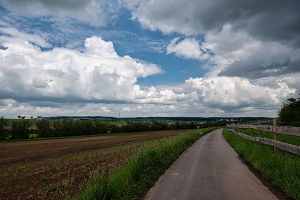
-
Threatening sky near Windhof
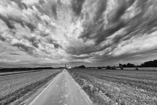
-
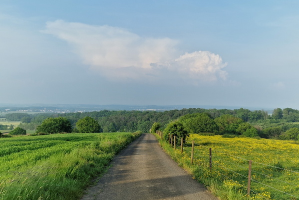
thunderstorm 37 km away
-
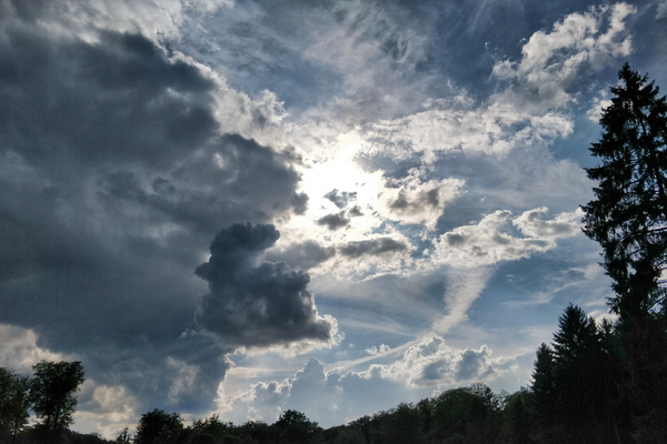
Thunderstorm?
-
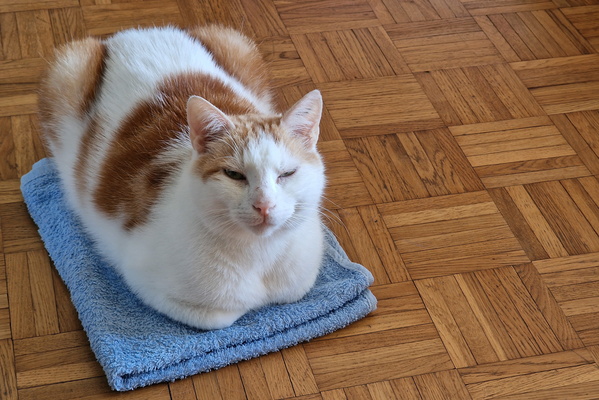
Timmy on a towel
-
Timmy on the bed

-
Timmy out of the box

-
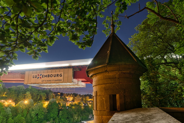
Tower
-
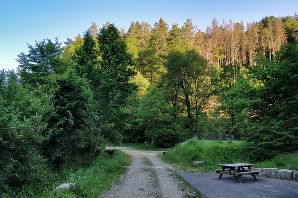
Track and picnic place between Hollenfens and Marienthal
-
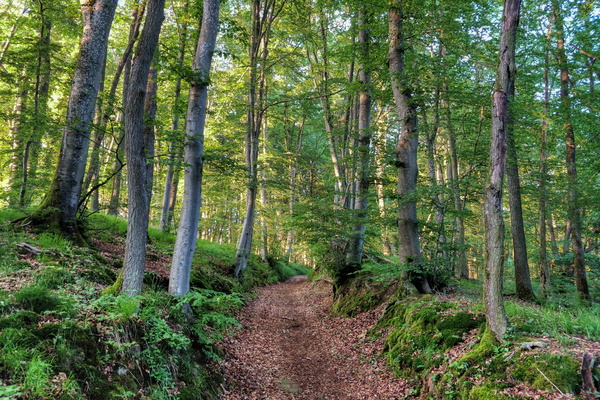
Track between Mamer and Kehlen
-
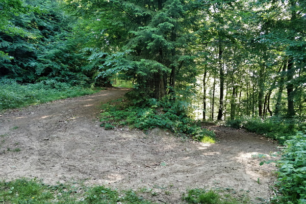
Track going to the Valley of the Seven Castles
-
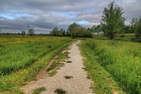
Track in Bertrange
-
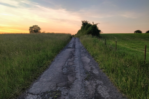
Track near Bettembourg
-
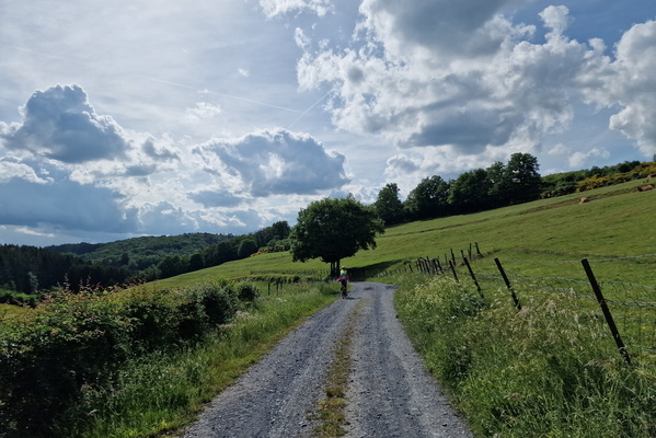
Track near Bigonville
-
Track near Capellen
-
Track near Kehlen
-
Track near Maulesmillen
-
Track near Rodershausen
-
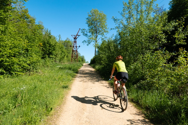
Track near Rumelange
-
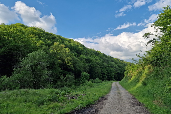
Track near Saint-Léger
-
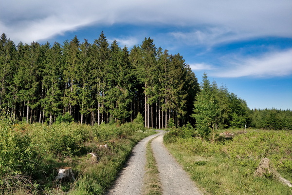
Track on the way between Bastogne and Clervaux
-
Train for display in Pronsfeld

-
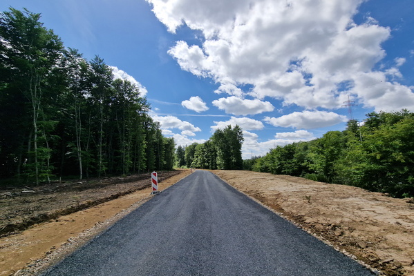
Tramway extension works to Findel
-
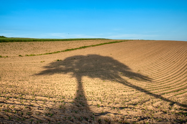
Trees' shadows on a field near Liefrange
-
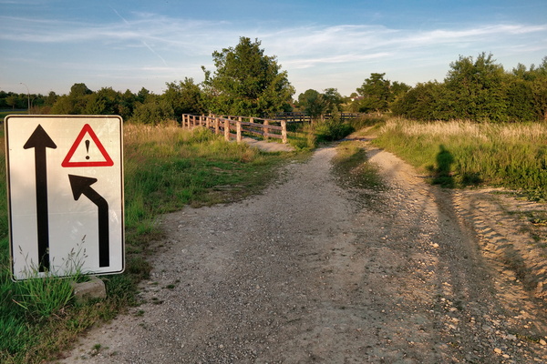
Trying to get the sense of this sign
-
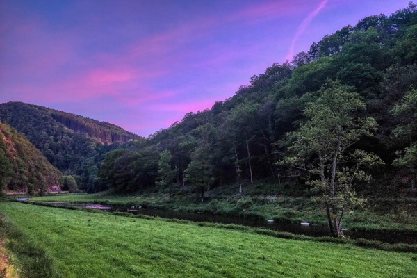
Twilight in Sauertal near Bourscheid
-
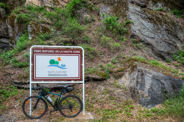
Upper-Sûre Nature Park sign
-
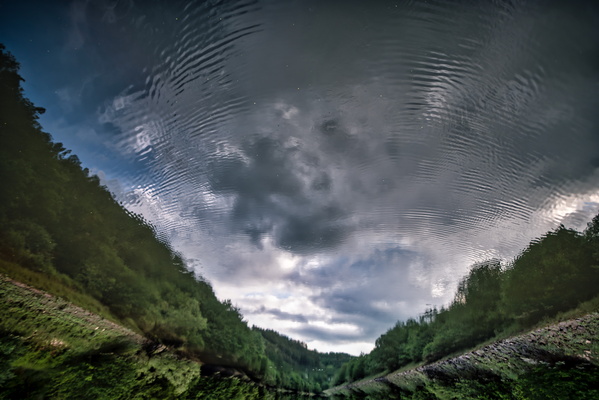
Upside down Our river
-
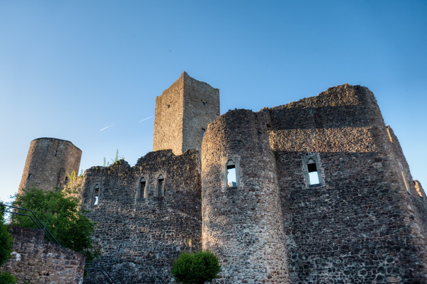
Useldange Castle
-
Vennbahn at the BeLux border

-
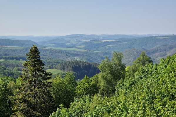
View from Niclosbierg
-
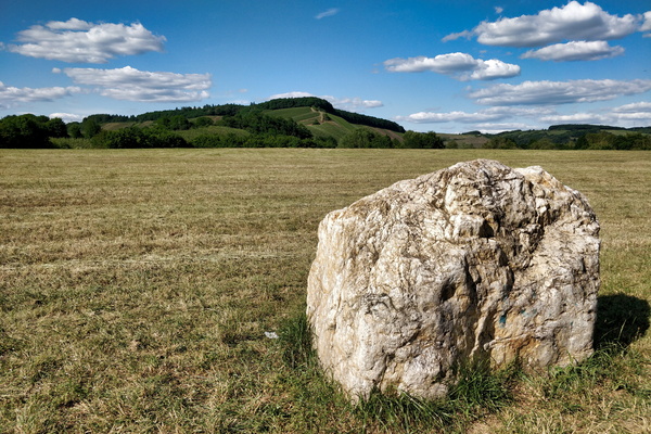
View from Saar-Radweg near Kanzem
-
View to Luxembourg from Saarland

-
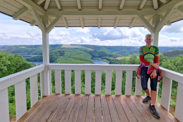
Viewpoint above the Stauséi
-
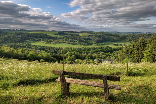
Viewpoint between Bilsdorf and Misärshaff
-
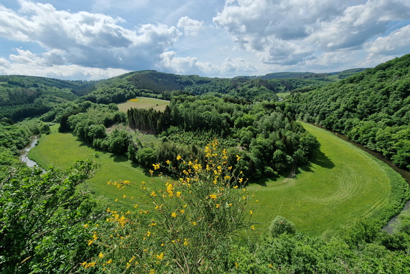
Viewpoint near Houfels
-
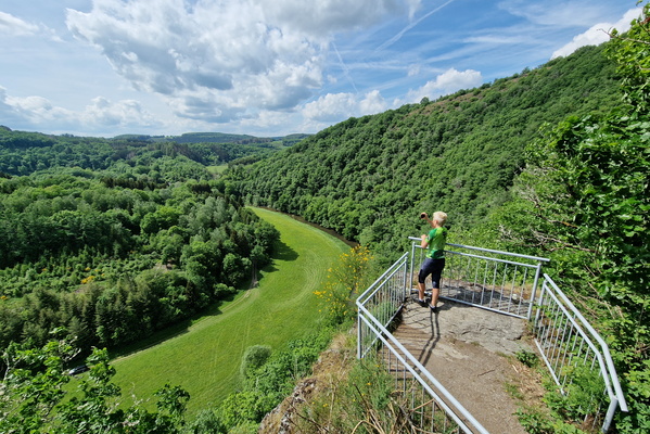
Viewpoint near Houfels
-
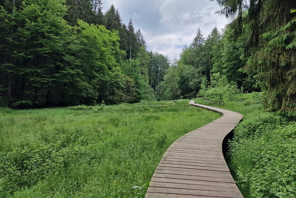
Walkboard near Beaufort
-
Walkboard near Beaufort

-
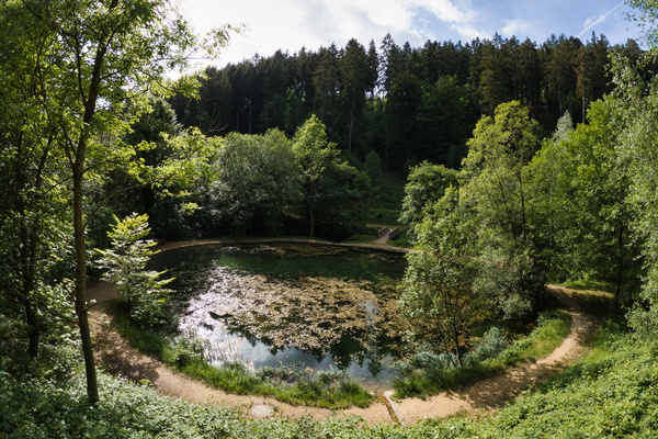
Water pond near Lintgen
-
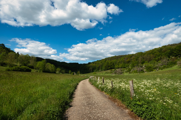
Way out of Lintgen
-
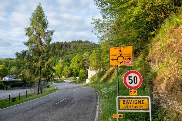
Welcome to Bavigne
-
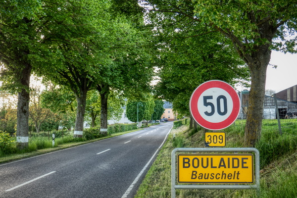
Welcome to Boulaide
-
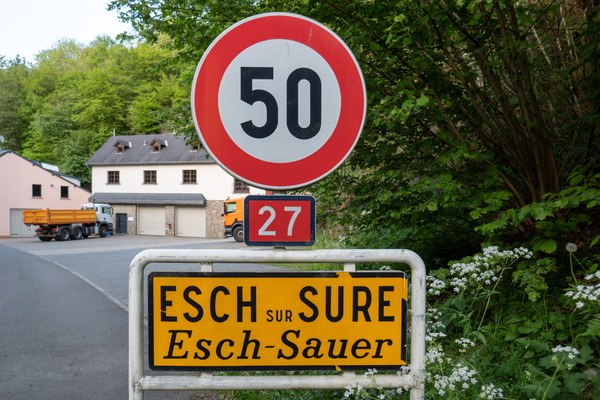
Welcome to Esch-sur-Sûre
-
Welcome to GR 5

-
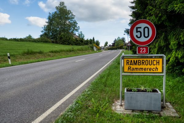
Welcome to Rambrouch
-
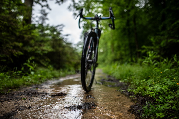
Wet path
-
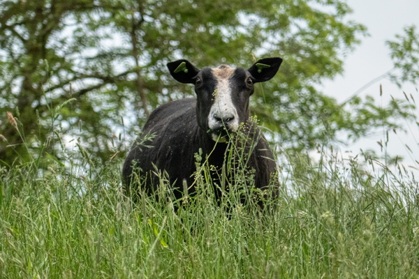
What are you looking at?
-
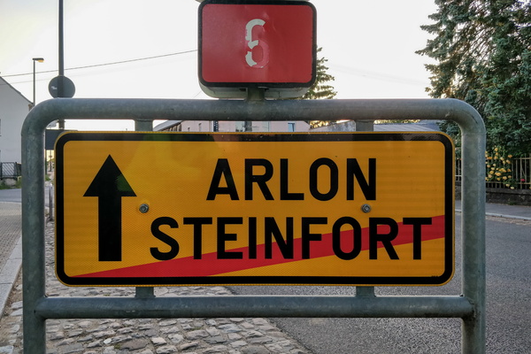
What can happen if I go forward?
-
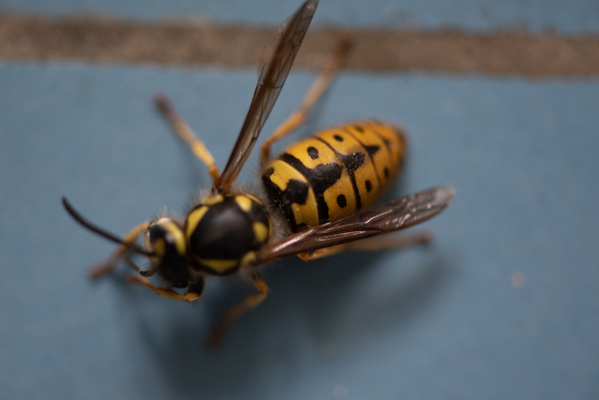
What kind of wasp is that?
-
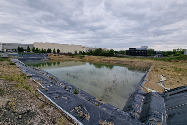
What's left of Tavola
-
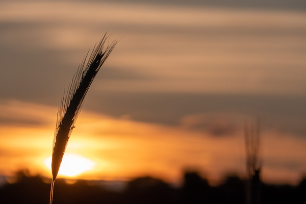
Wheat and sunset
-
Wheell's water reflection

-
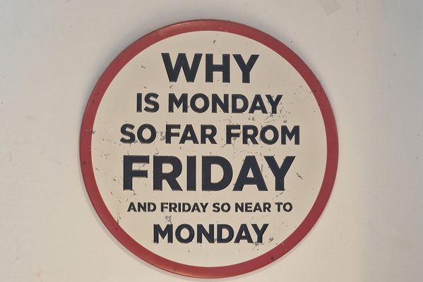
Why is Monday so far from Friday?
-
Wide enough!

-
Wild Prüm River

-
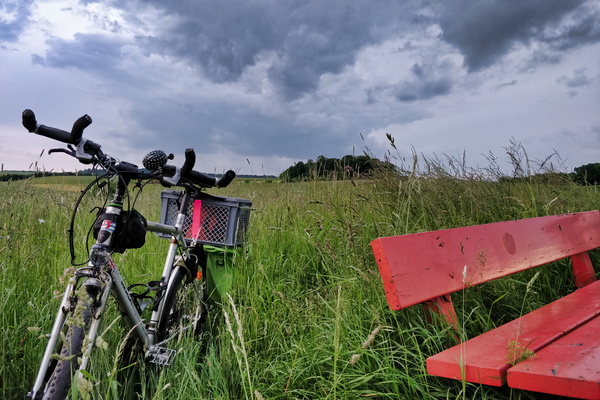
Will it rain? Yes!
-
Windmills
