-
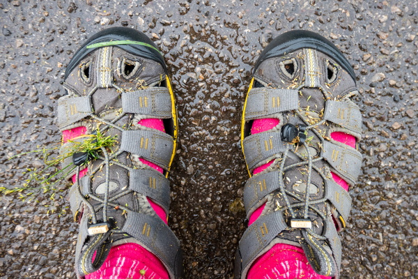
Wet feet
-
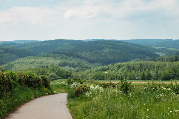
View near Berlé
-
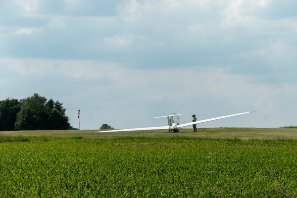
Useldange airfield
-
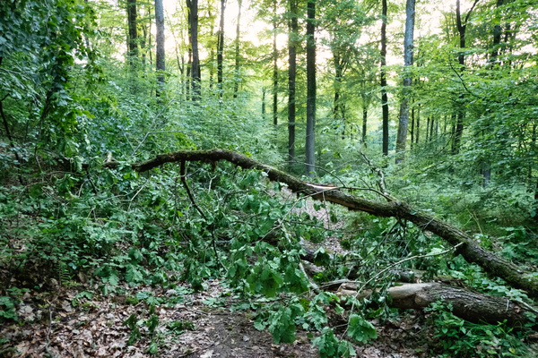
Tree on the way near Hollenfels
-
Track near Villers-la-Bonne-Eau
-
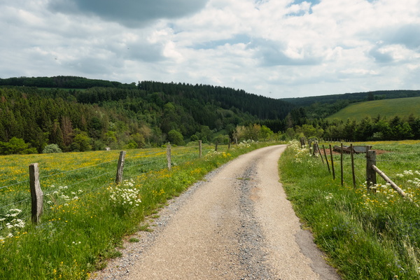
Track near Schlindermanderscheid
-
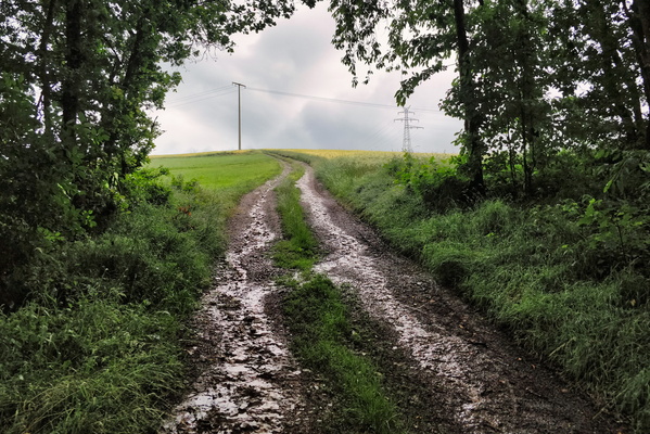
Track near Lipperscheid
-
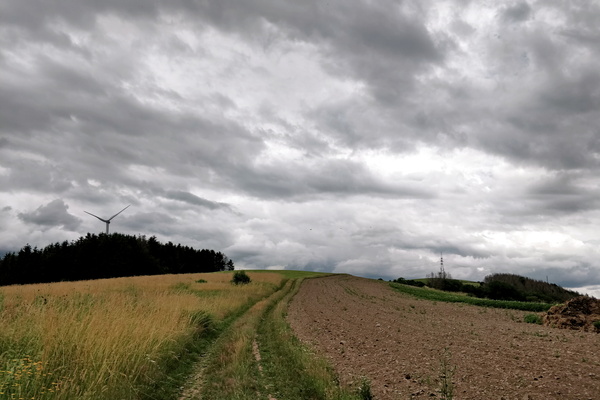
Track near Lipperscheid
-
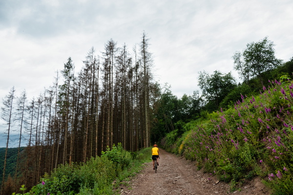
Track near Holtz
-
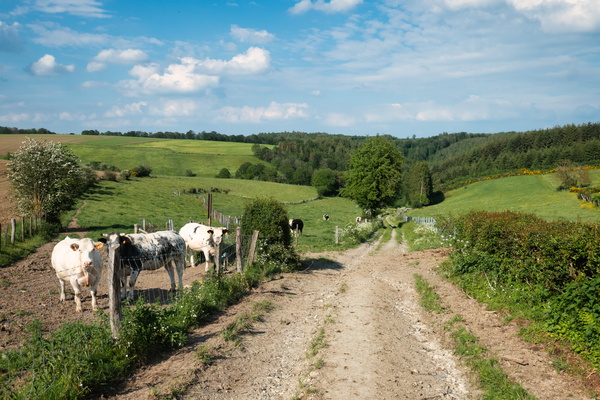
Track near Holtz
-
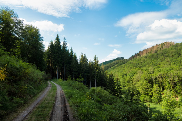
Track near Boulaide
-
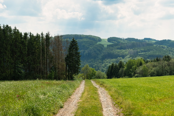
Track near Bigonville
-
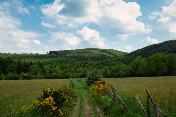
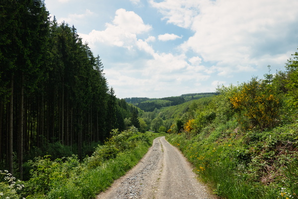
Track near Berlé
-
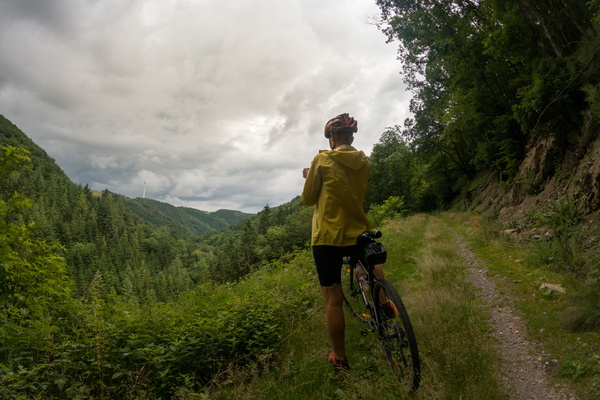
Track along MTB trail Hoscheid
-
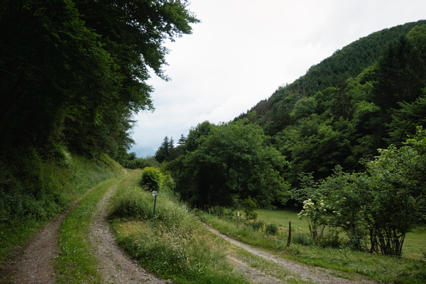
Track along MTB trail Hoscheid
-
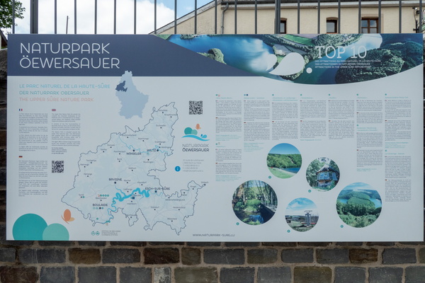
The Upper Sûre Nature Park information board
-
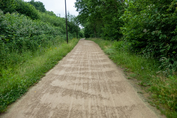
Surface washed by a thunderstorm
-
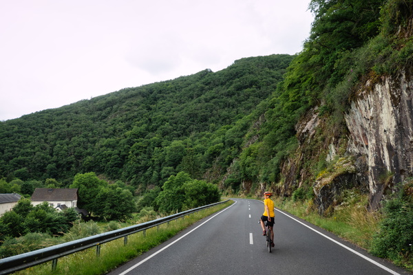
Sauerdall near Bourscheid-Moulin
-
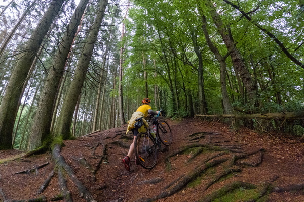
Roots on Autopédestre Strassen
-
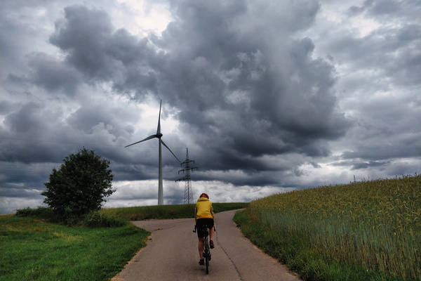
Paved track near Lipperscheid-Dellt on a stormy day
-
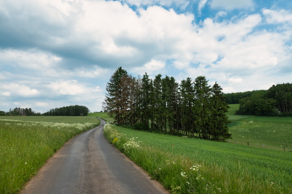
Paved track near Flebour
-
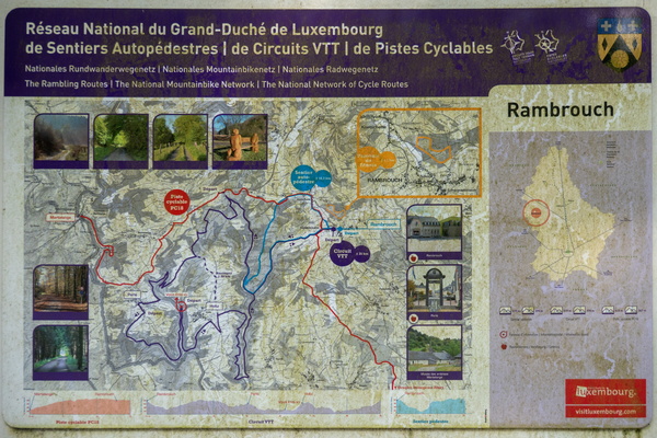
Outdoor activities map in Rambrouch
-
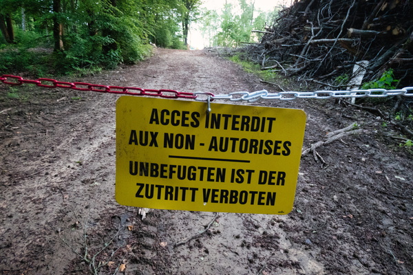
Nice to read this on the way out
-
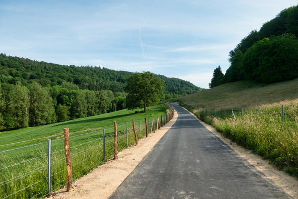
New section of PC 14 between Mersch and Schoenfels
-
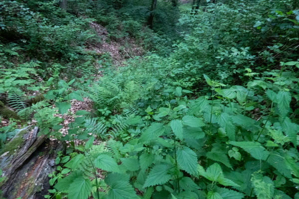
Nettle way
-
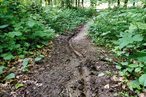
Muddy track near Reichlange
-
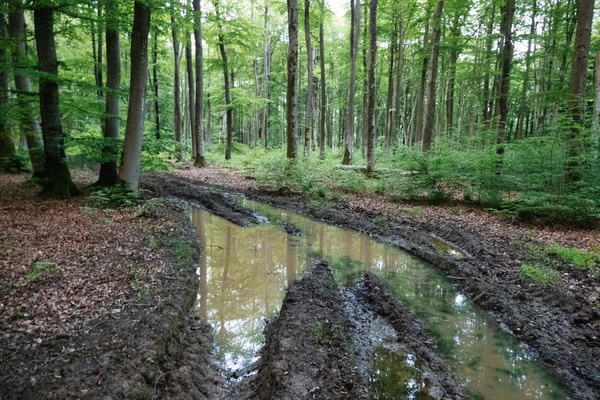
Muddy track near Reckener Barrière
-
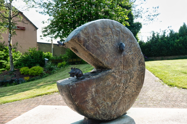
Mouse in Pacman at Bigonville fountain
-
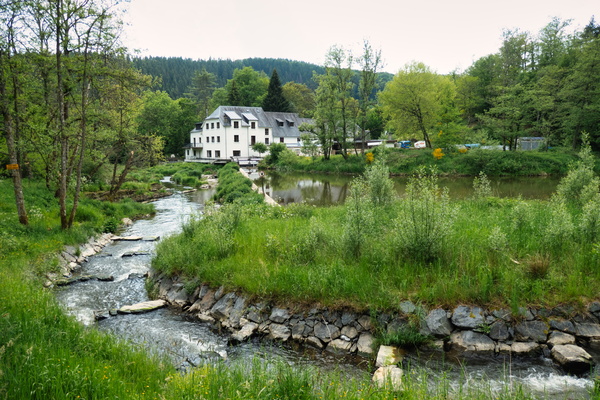
Moulin de Bigonville
-
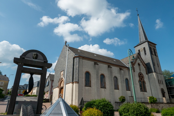
Monument Bombgroup, Perlé
-
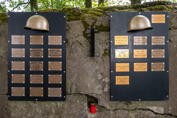
Memorial at Abri Devèze bunker
-
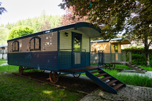
Hölzerstee camping, Holtz
-
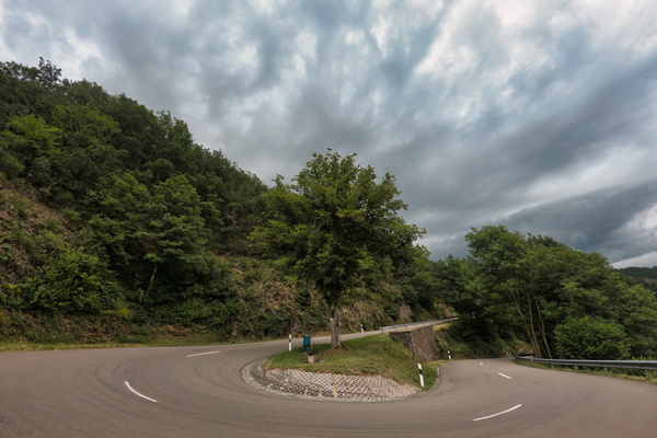
Hair pin near Unterschlinder
-
Gutt ënnerwee

-
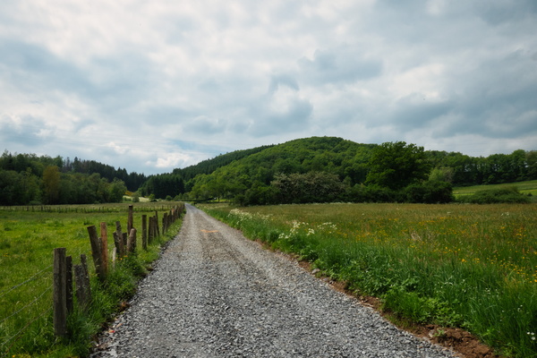
Gravel track near Wiltz
-
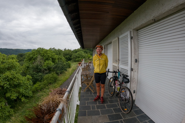
Found a shelter in Schlindermanderscheid
-
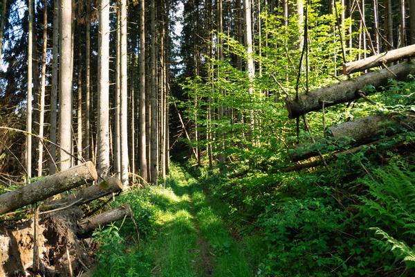
Forest track near Holtz
-
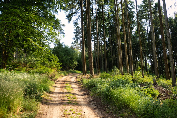
Forest track near Gosseldange
-
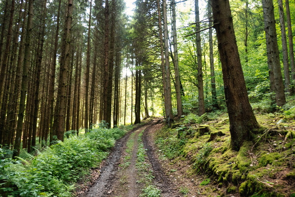
Forest track near Bigonville
-
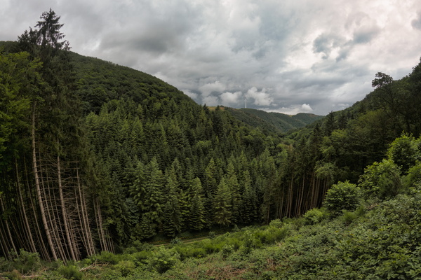
Forest near Unterschlinder
-
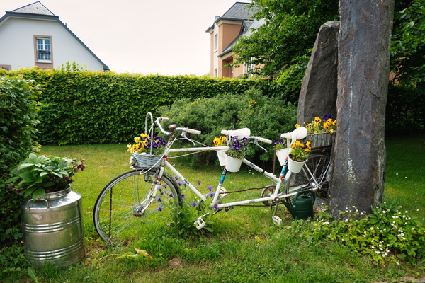
Decorative bike tandem in Baschleiden
-
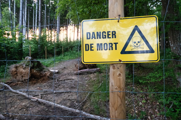
Dangerous forest!
-
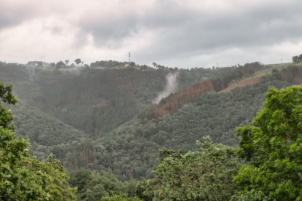
Cloud and forest near Schlindermanderscheid
-
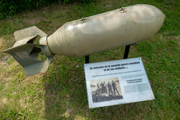
Bomb found in Eichen
-
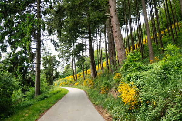
Blooming plants
-
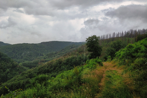
Bad weather scenery near Schlindermanderscheid
-
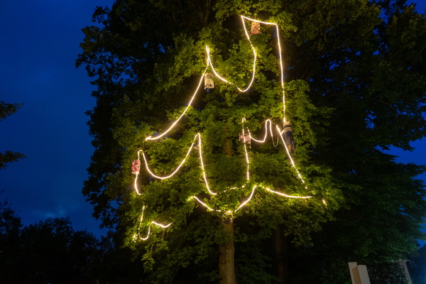
Art in Steinfort
-
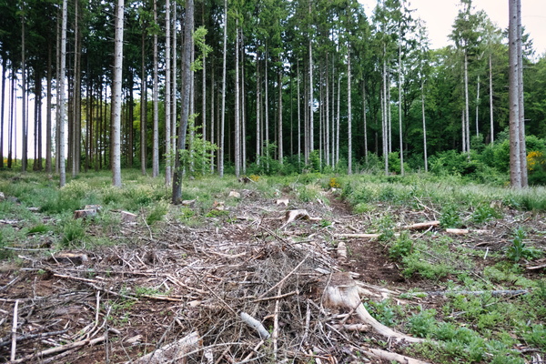
Abandoned track near Reckener Barrière
-
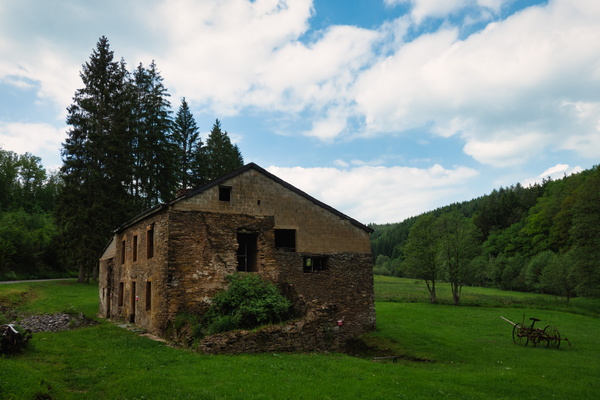
Abandoned house near Surré
-
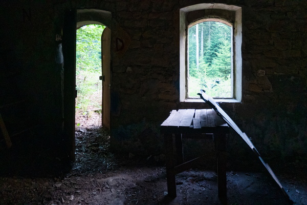
Abandoned house near Openthalt
-
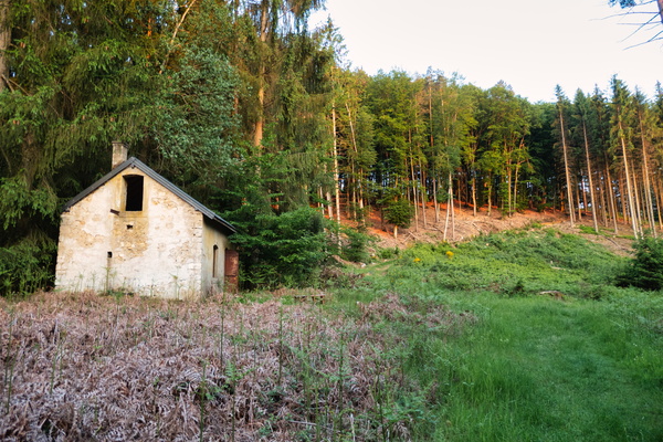
Abandoned house near Openthalt
-
A bike and a half
