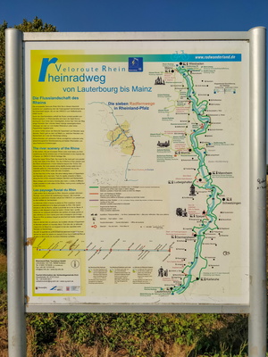
-
Toodlermillen information board
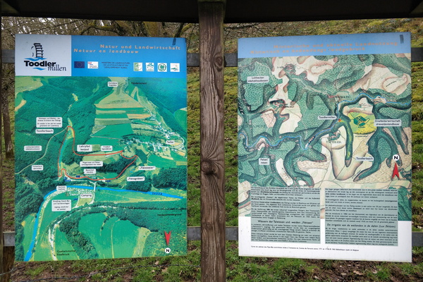
-
Map of the panorama trail
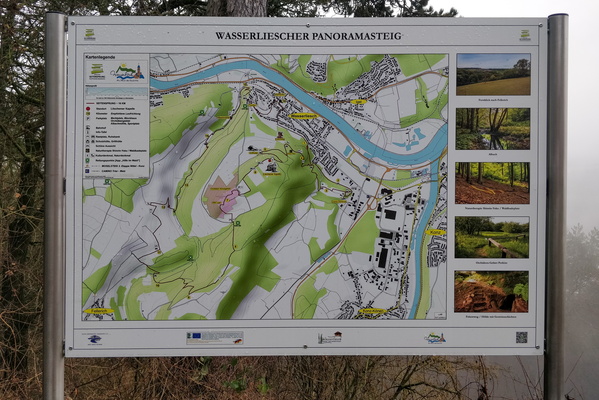
-
Hell at Schumanns Eck
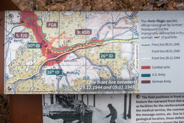
-
Perl Bike gravel route map
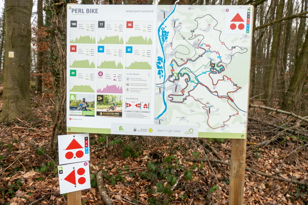
-
Sentier de l'Alzette map

-
Geology information board and map
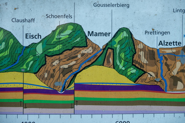
-
Vëloswee Beeforter Plateau
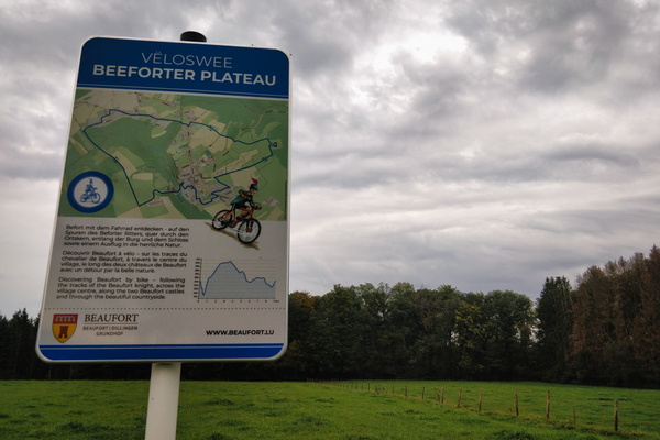
-
Hiking map in Esch-sur-Sûre
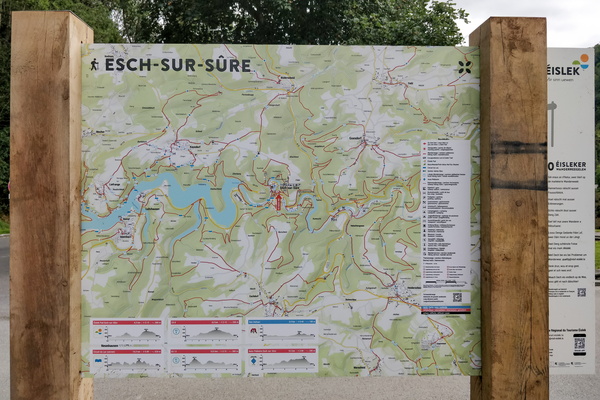
-
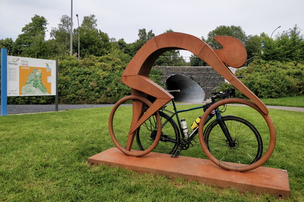
Vennbahn near Burrigplatz peak
-
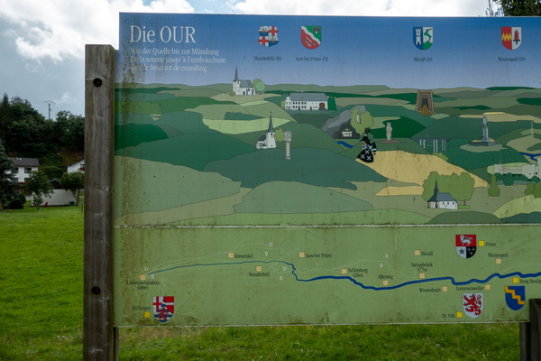
Map of the Our river
-
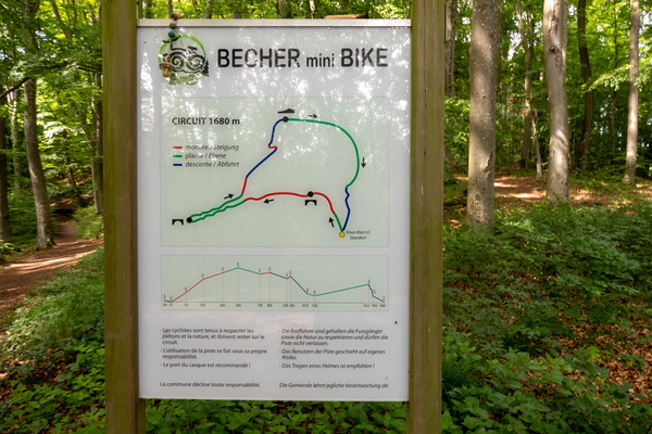
Becher mini Bike map
-
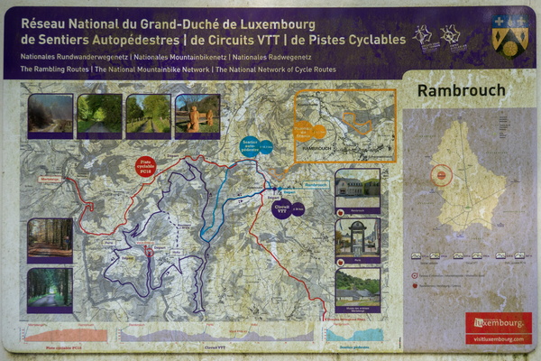
Outdoor activities map in Rambrouch
-
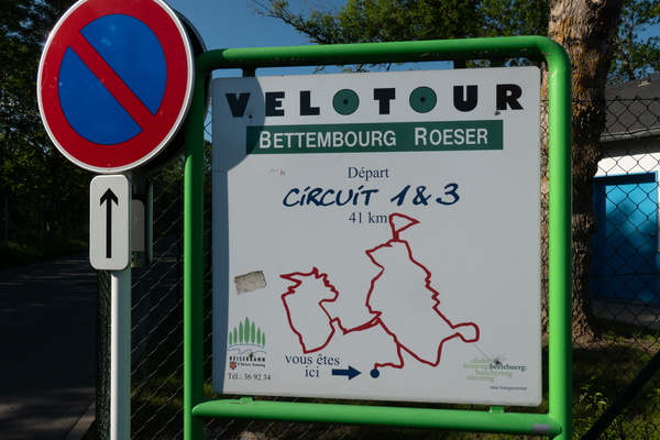
Great Velotour map
-
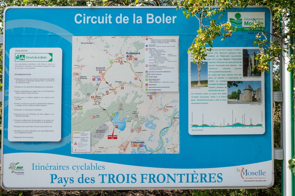
Cycling map near Cattenom
-
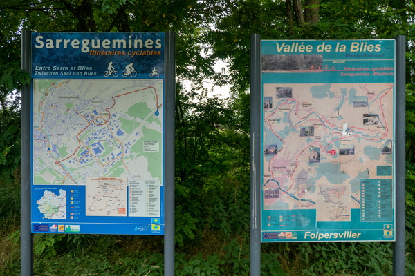
Cycling map near Sarreguemines
-
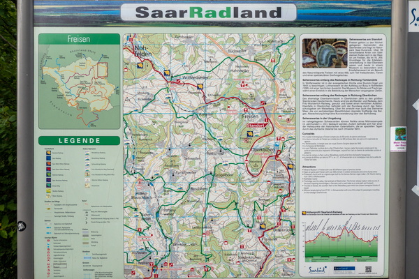
Cycling map near Freisen
-
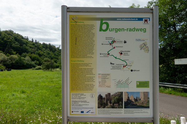
Burgegn-Radweg map and information board
-
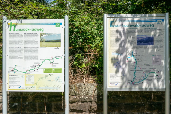
Hunsrück-Radweg & Ruwer-Hochwald-Radweg
-
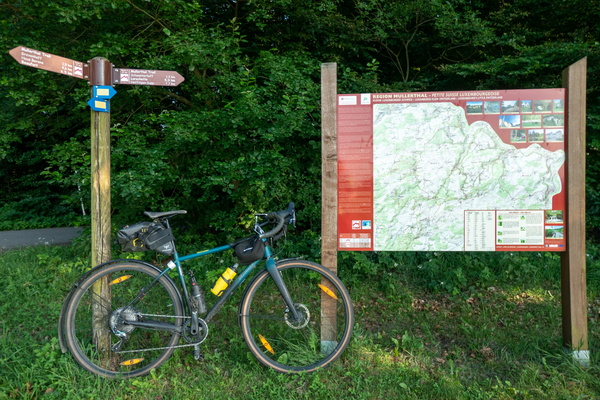
Mullerthal Trail
-
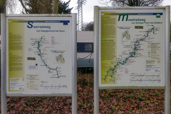
Saar-Radweg and Mosel-Radweg maps and information boards
-
Cycling directions map at the confluence between PC 12 and PC 13

-
PC 15 diversion map

-
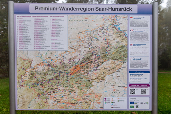
Saar-Hunsrück Premium Hiking Region map
-
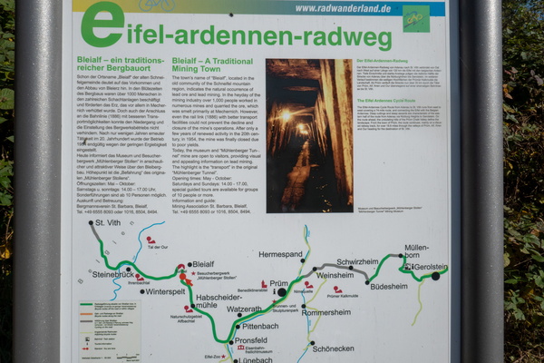
Eifel-Ardennen Radweg information board
-
Regional cycling map in Guttland

-
Visit Guttland

-
Cycling nodal network in Maassluis

-
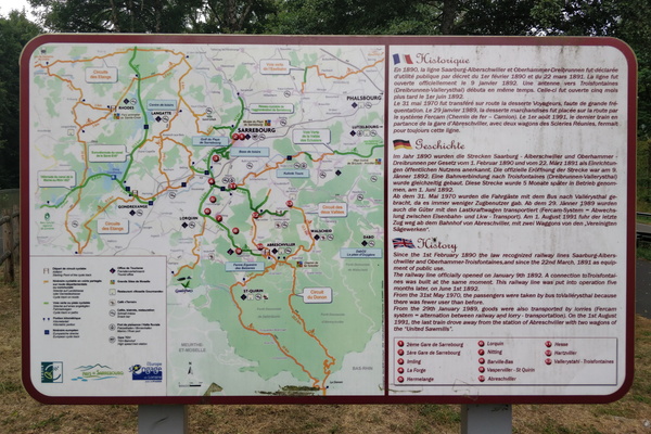
Cycling routes map near Sarrebourg
-
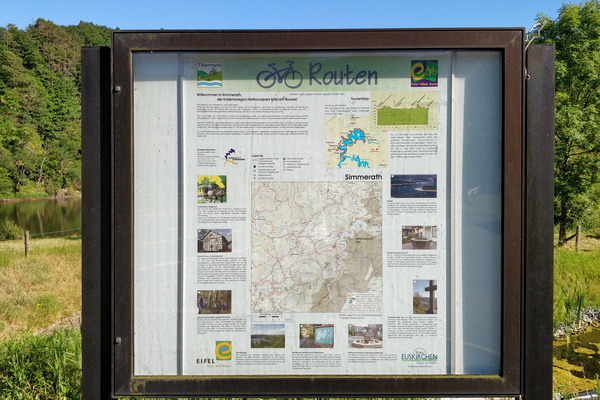
Eifel-Höhen-Route information board in Simmerath
-
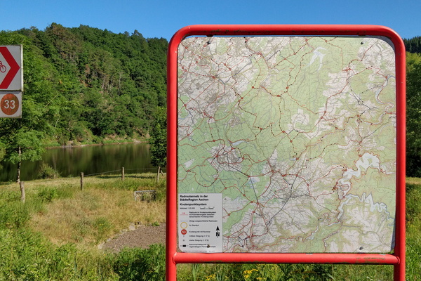
Nodal cycling network map in Simmerath
-
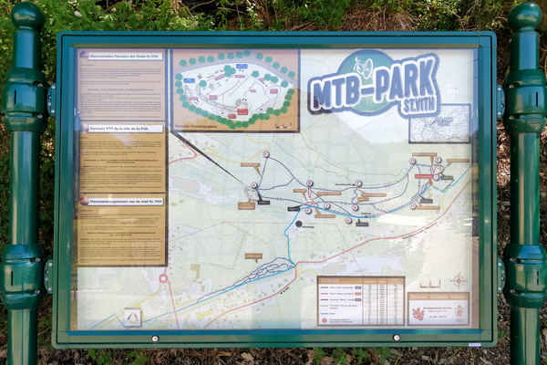
MTB Park map in St. Vith
-
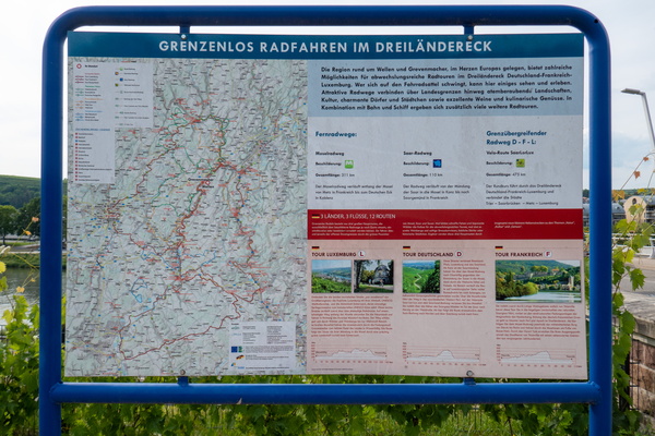
Cycling in three countries
-
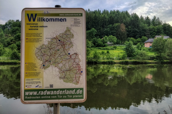
Welcome to Rhineland Palatinate
-
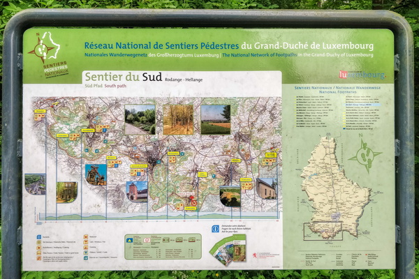
Sentier du Sud information board
-
Sentier de l'Alzette: map

-
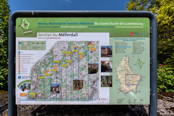
Sentier du Mëllerdall map
-
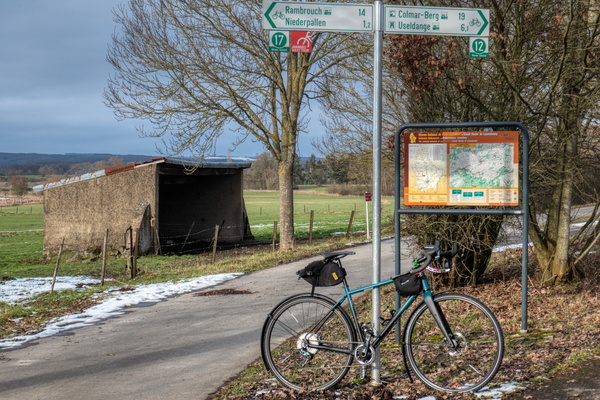
Fork between PC 12 and PC 17
-
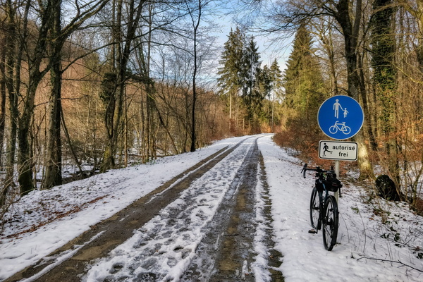
PC 12 near Hovelange
-
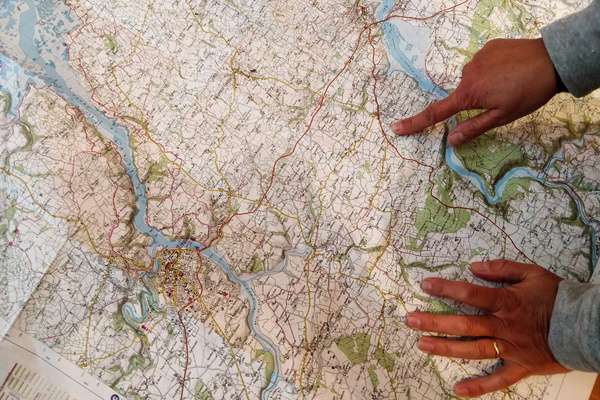
Deciding where to go
-
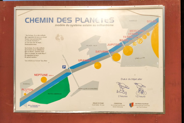
Chemin des planètes
-
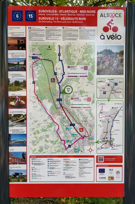
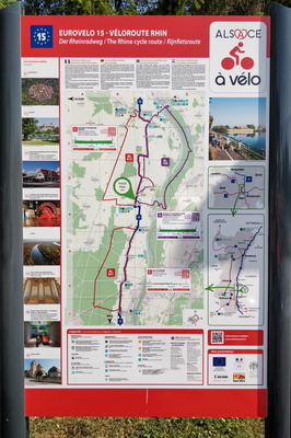
The Rhine cycling route map and information board
-
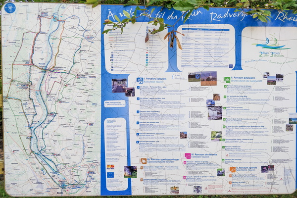
Cycling map in Ottmarsheim
-
The Rhine cycling route map and information board
-
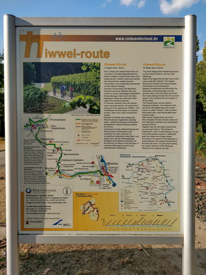
Hiwwel-route information board
-
Rheinradweg information board