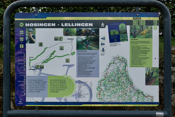
-
Rheinradweg information board
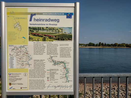
-
Cycleway notice sign
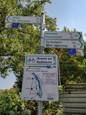
-
Rhine Veloroute information board
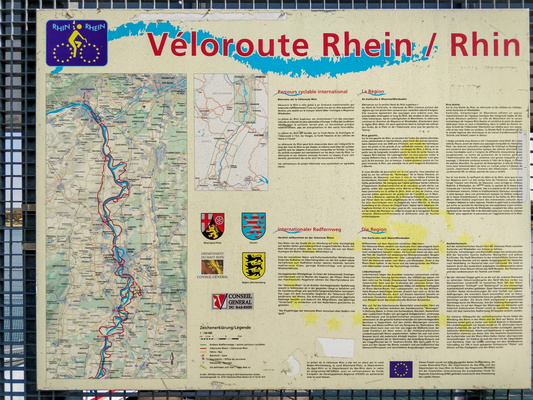
-
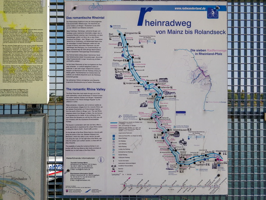
Rheinradweg information board
-
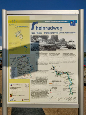
Rheinradweg information board
-
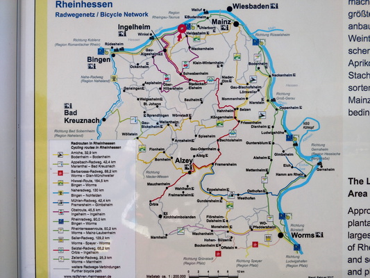
Rheinradweg information board
-
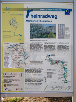
Rheinradweg information board
-
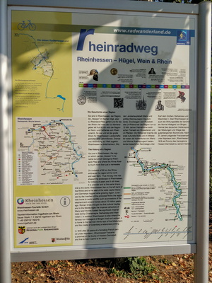
Rheinradweg information board
-
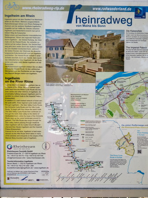
Rheinradweg information board
-
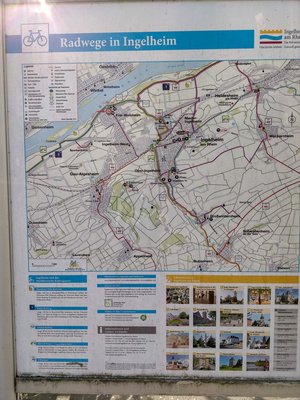
Cycling map near Ingelheim am Rhein
-
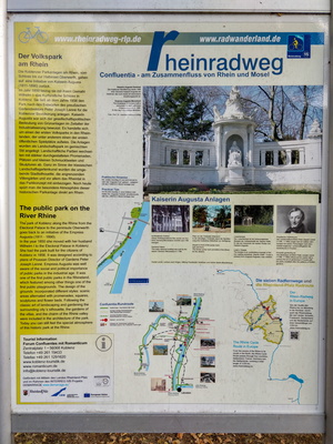
Rheinradweg information board
-
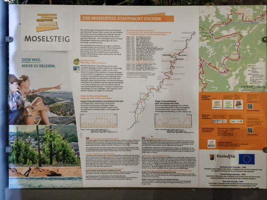
Hiking map infoboard
-
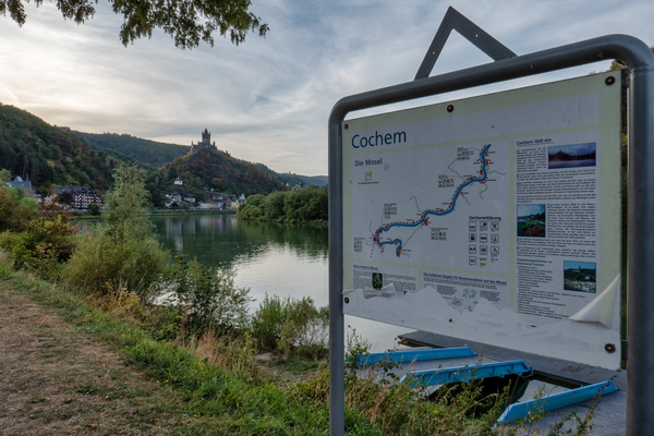
Outside Cochem
-
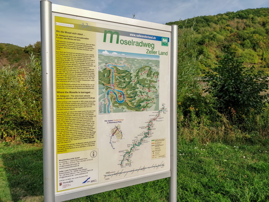
Moselradweg information board
-
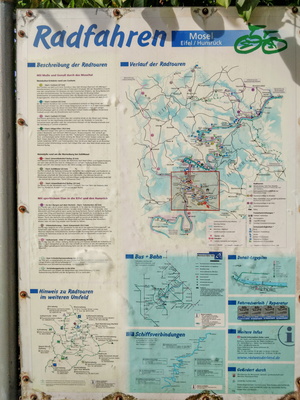
Local cycling routes information board
-
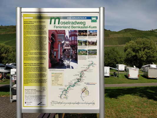
Moselradweg information board
-
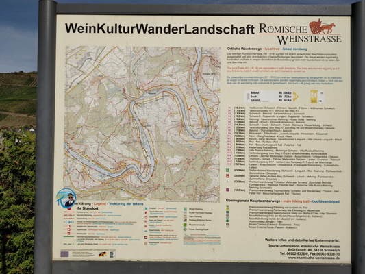
Hiking trail map in Römischen Weinstraße
-
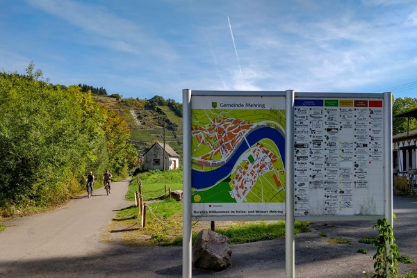
Information boards
-
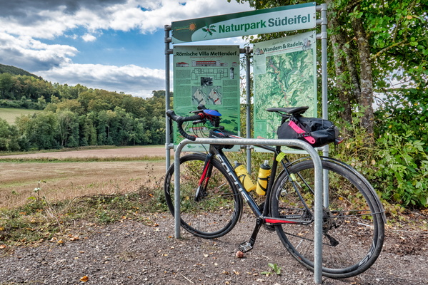
Naturpark Südeifel map and information board
-
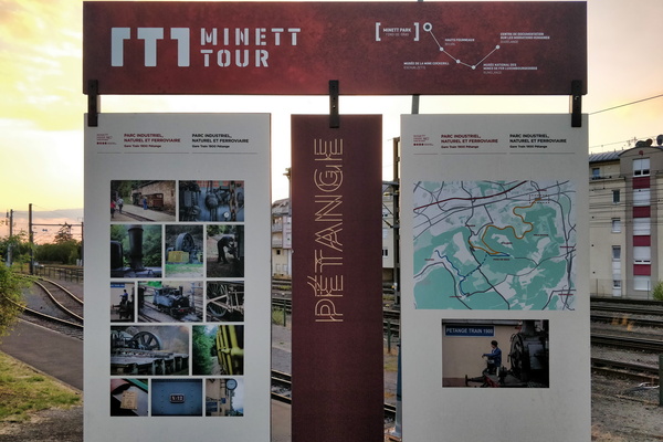
Minett Tour map/information board
-
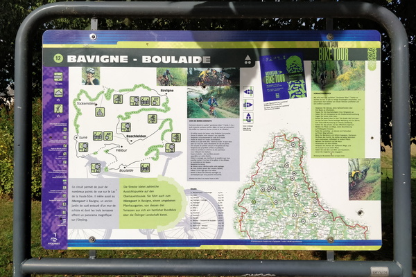
Mountain bike tour 12 map and information board
-
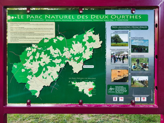
Parc Naturel des Deux Ourthes information board and map
-
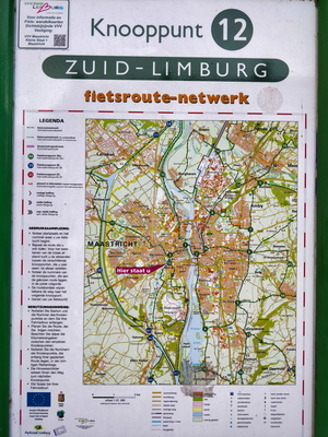
Cycling network map
-
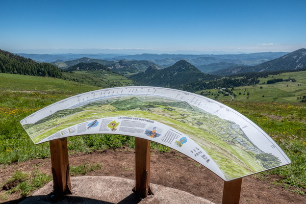
Le cirque des Boutières
-
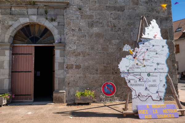
Ardèche map in Sainte-Eulalie
-
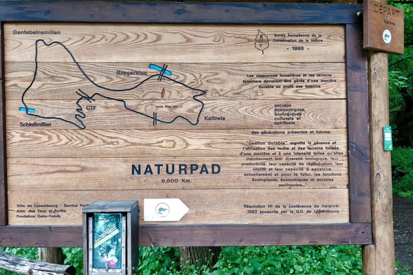
Naturpad map near Itegerstee
-
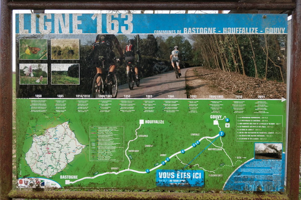
RAVeL line 163 map
-
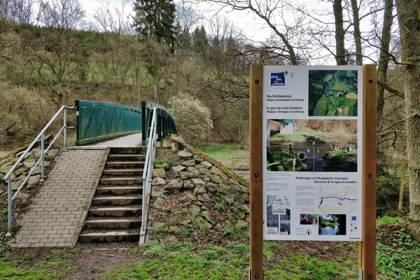
Land of the three borders
-
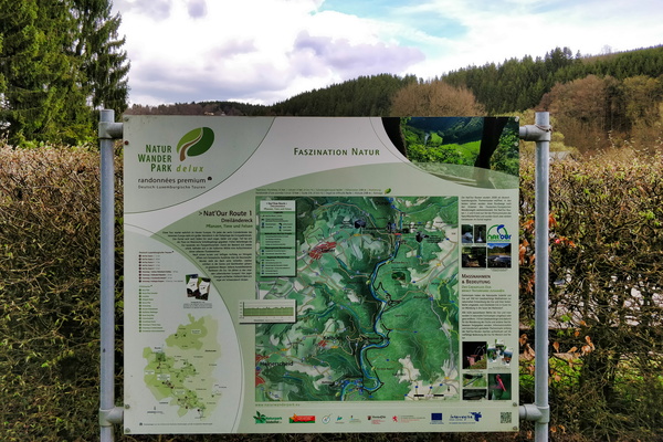
Nat'Our Route 1 trail map and information board
-
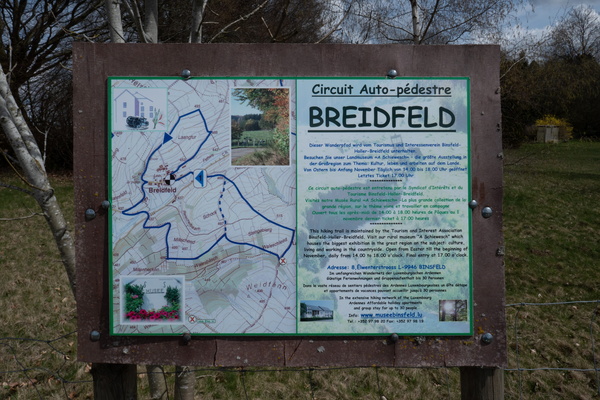
Autopédestre Breidfeld map and informatiom board
-
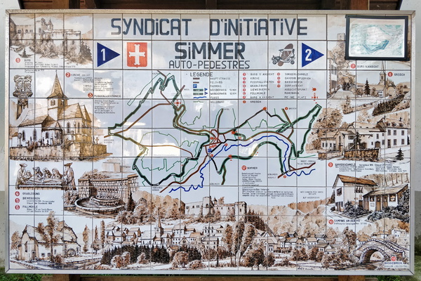
Map tiles (literally)
-
Rail + hike directions in Kautenbach

-
Sentier Charles Mathieu map

-
Hiking trails near Wiltz

-
Rad & wanderweg board in Longuich

-
Hike Barr

-
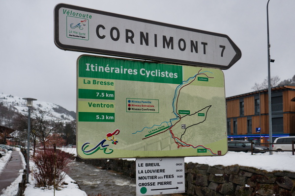
Cycling directions in La Bresse
-
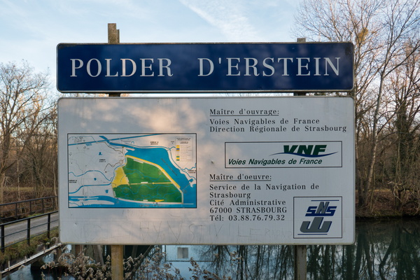
Polder d'Erstein
-
Mont Saint-Michel map

-
Cycling map in Moulins-lès-Metz

-
Map and information board in Corny-sur-Moselle

-
Nature Park map in Novéant-sur-Moselle

-
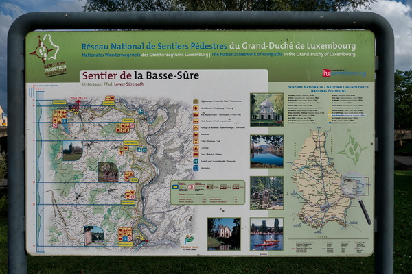
Sentier de la Basse-Sûre
-
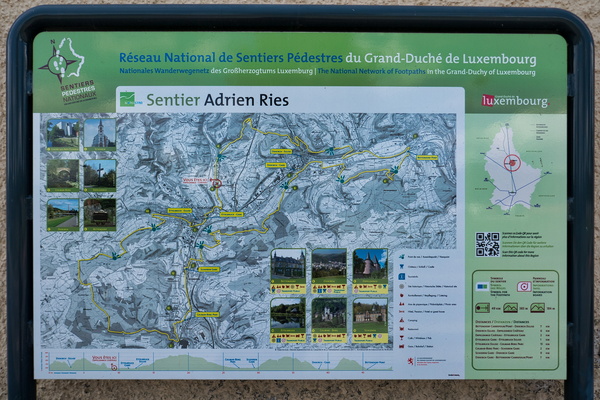
Sentier Adrien Ries
-
MTB tour board (Hosingen-Lellingen)