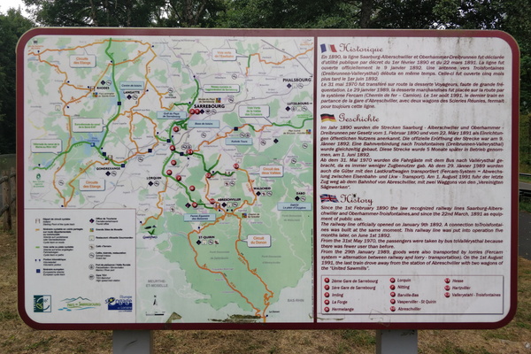
-
Fork between PC 12 and PC 17
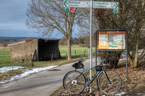
-
Sentier de la Basse-Sûre
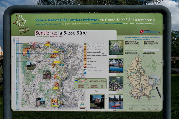
-
Cycling directions map at the confluence between PC 12 and PC 13

-
Visit Guttland

-
Hunsrück-Radweg & Ruwer-Hochwald-Radweg
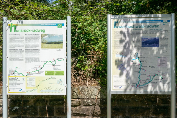
-
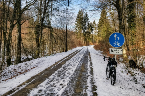
PC 12 near Hovelange
-
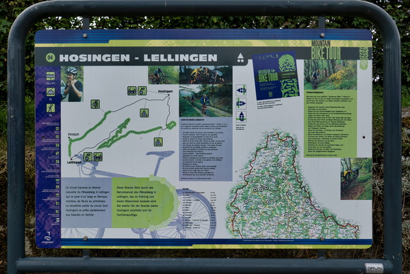
MTB tour board (Hosingen-Lellingen)
-
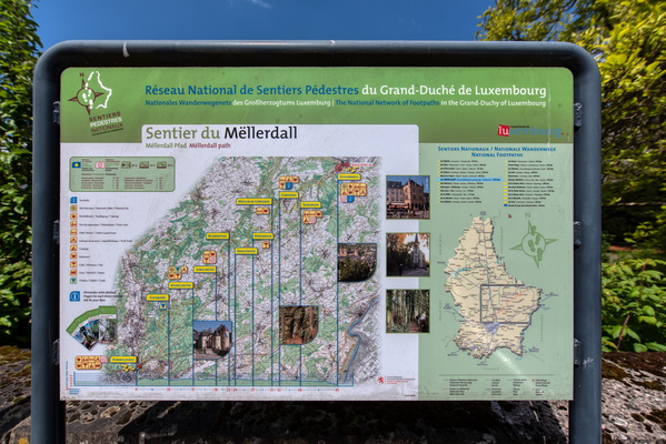
Sentier du Mëllerdall map
-
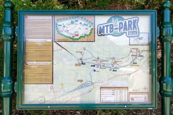
MTB Park map in St. Vith
-
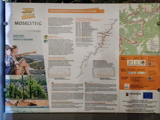
Hiking map infoboard
-
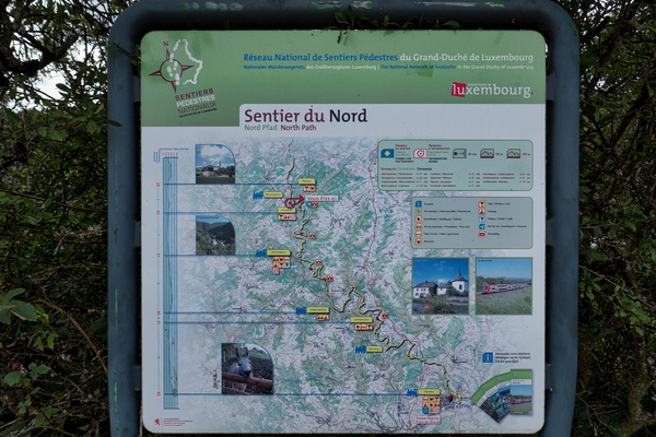
North Path information board
-
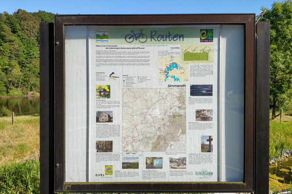
Eifel-Höhen-Route information board in Simmerath
-
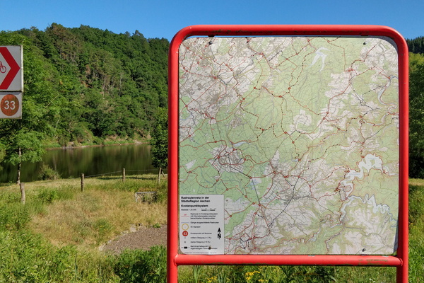
Nodal cycling network map in Simmerath
-
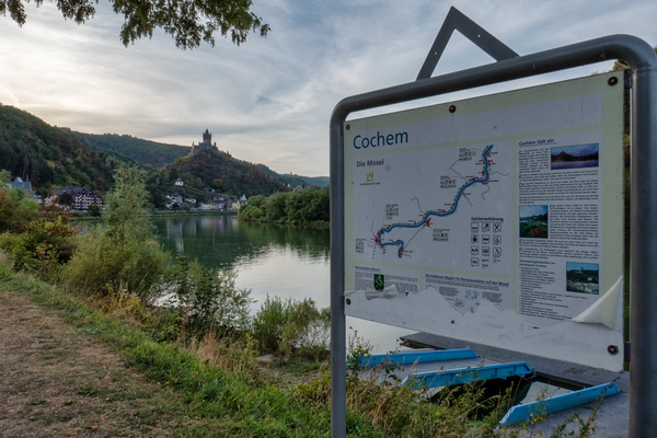
Outside Cochem
-
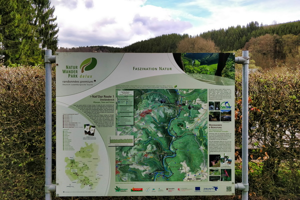
Nat'Our Route 1 trail map and information board
-
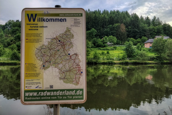
Welcome to Rhineland Palatinate
-
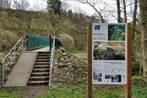
Land of the three borders
-
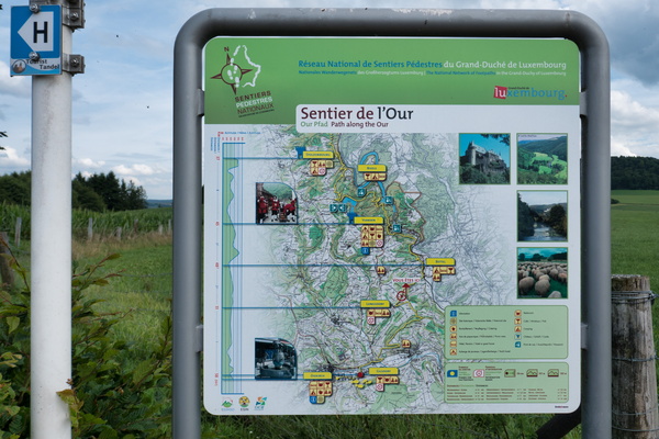
Sentier de l'Our information map
-
Rad & wanderweg board in Longuich

-
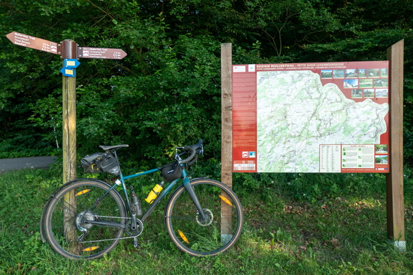
Mullerthal Trail
-
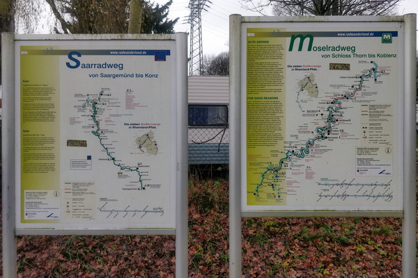
Saar-Radweg and Mosel-Radweg maps and information boards
-
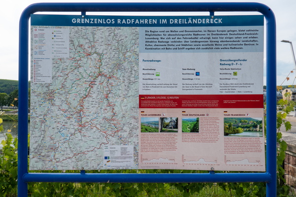
Cycling in three countries
-
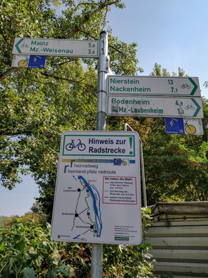
Cycleway notice sign
-
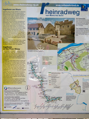
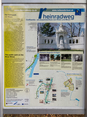
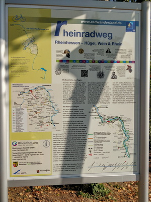
Rheinradweg information board
-
PC 15 diversion map

-
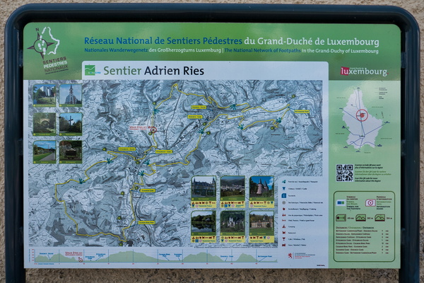
Sentier Adrien Ries
-
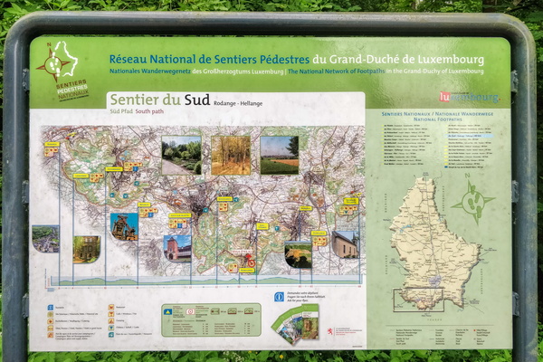
Sentier du Sud information board
-
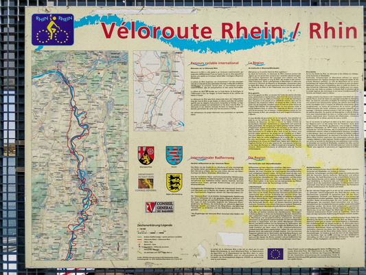
Rhine Veloroute information board
-
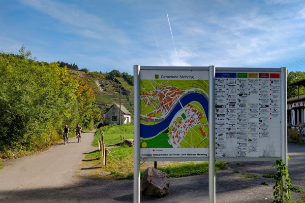
Information boards
-
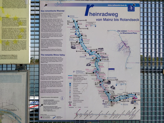
Rheinradweg information board
-
Cycling nodal network in Maassluis

-
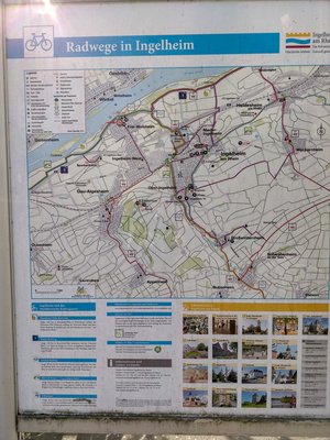
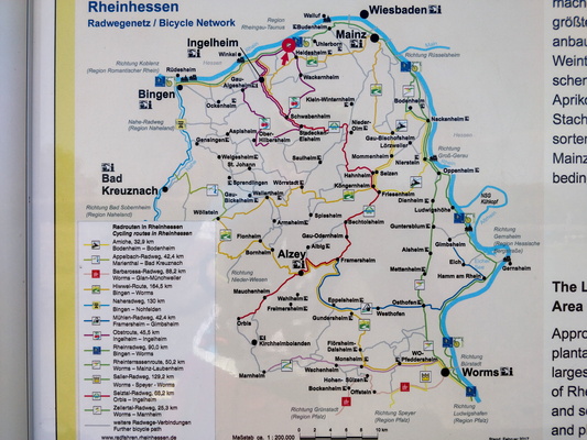
Cycling map near Ingelheim am Rhein
-
Rheinradweg information board
-
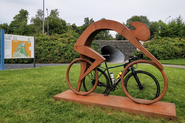
Vennbahn near Burrigplatz peak
-
Rheinradweg information board
-
Rheinradweg information board
-
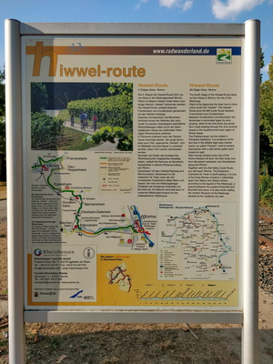
Hiwwel-route information board
-
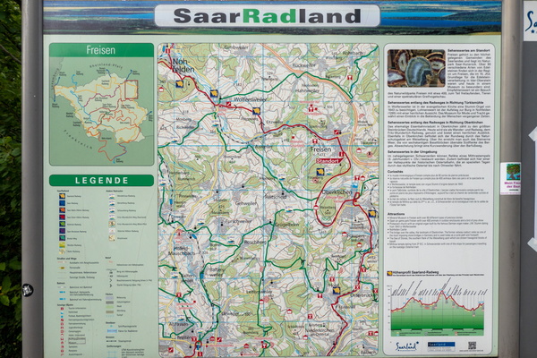
Cycling map near Freisen
-
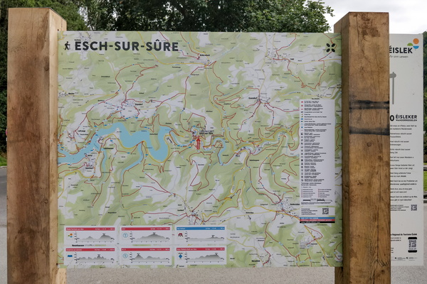
Hiking map in Esch-sur-Sûre
-
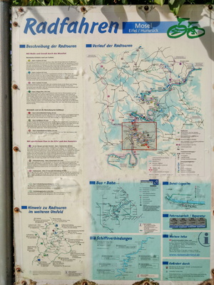
Local cycling routes information board
-
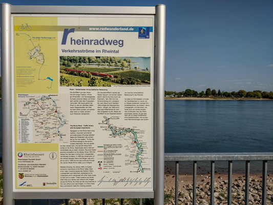
Rheinradweg information board
-
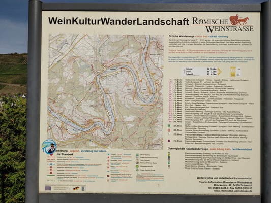
Hiking trail map in Römischen Weinstraße
-
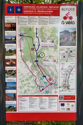
The Rhine cycling route map and information board
-
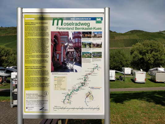
Moselradweg information board
-
Cycling routes map near Sarrebourg